Elevation of Teul de González Ortega, Zac., Mexico
Location: Mexico > Zacatecas > Teúl De González Ortega >
Longitude: -103.45984
Latitude: 21.4658511
Elevation: 1906m / 6253feet
Barometric Pressure: 80KPa
Elevation Map:
Satellite Map:
Related Photos:
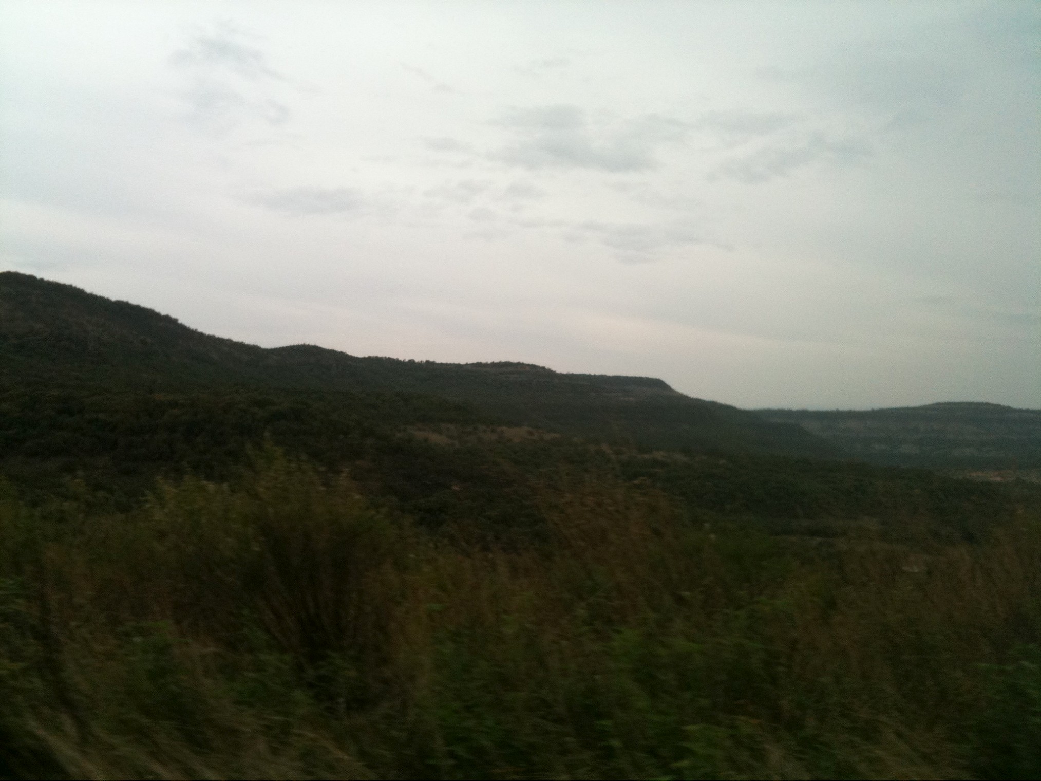
07-05-2011 (17;54;16)
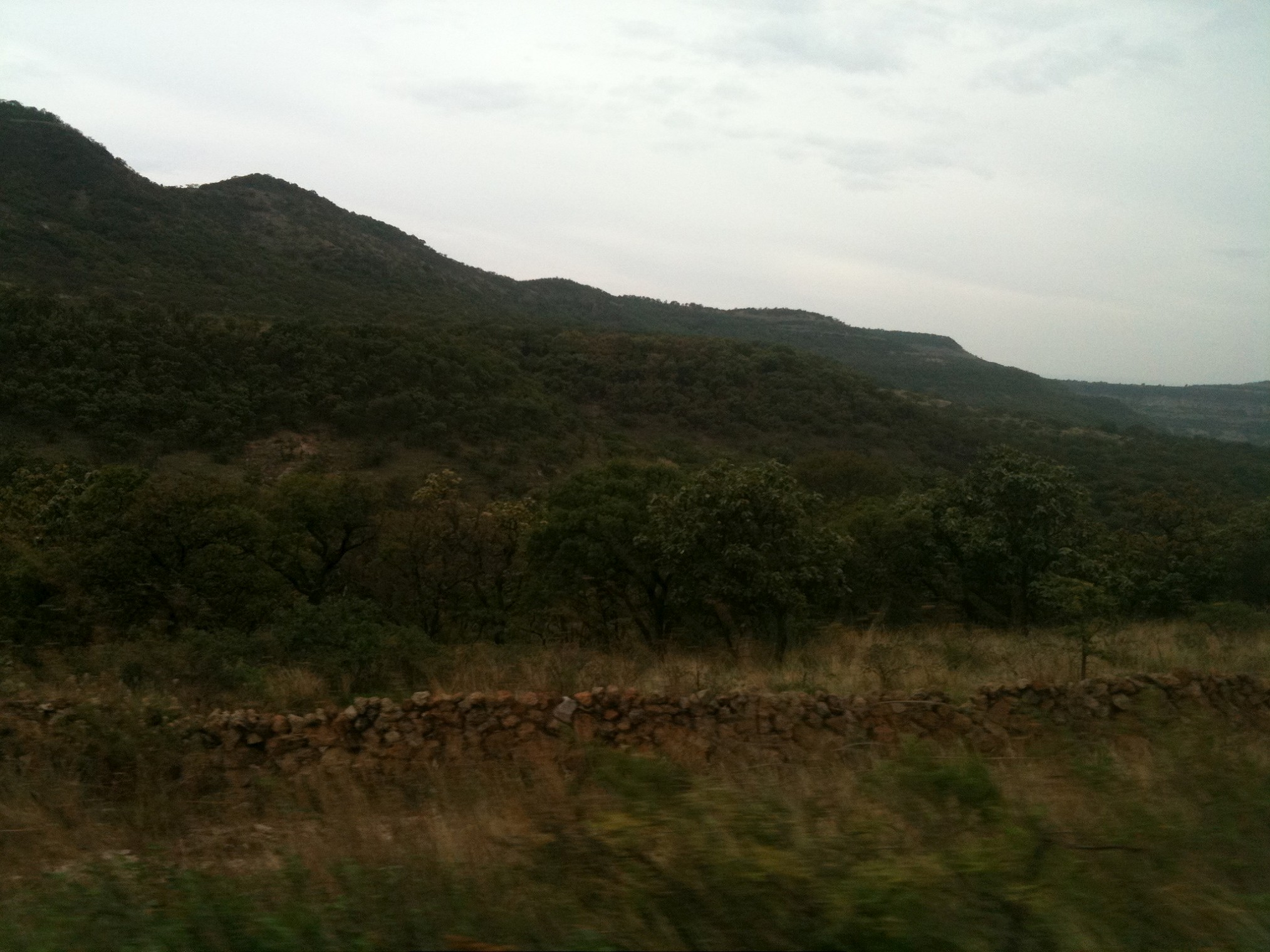
07-05-2011 (17;54;21)
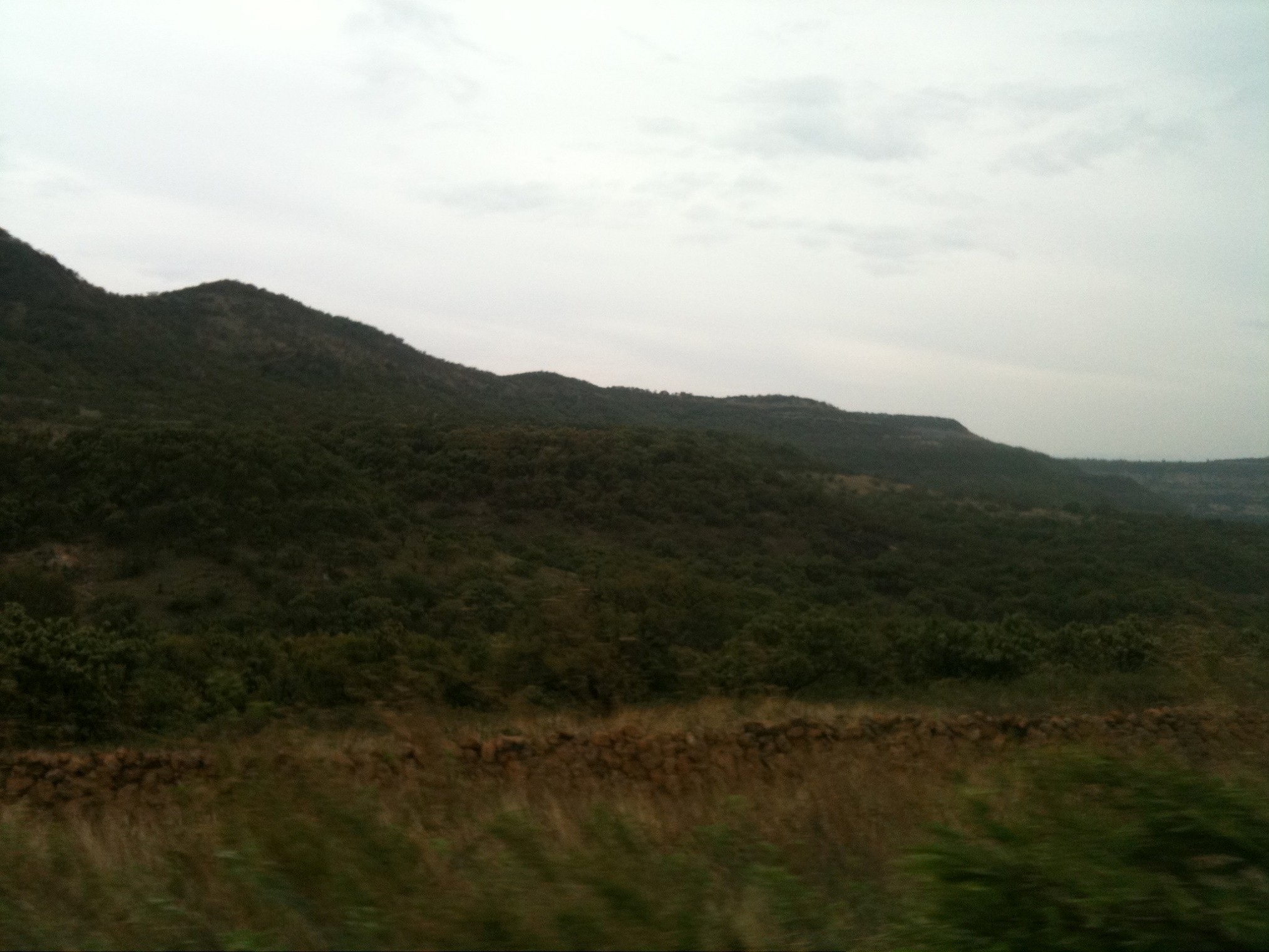
07-05-2011 (17;54;19)

Arte Sacro / Collection

Teúl de González Ortega
Topographic Map of Teul de González Ortega, Zac., Mexico
Find elevation by address:

Places in Teul de González Ortega, Zac., Mexico:
Places near Teul de González Ortega, Zac., Mexico:
Téul De González Ortega
Teúl De González Ortega
Jalpa
Guerrero
Corregidora 34, Guerrero, Jalpa, Zac., Mexico
La Yesca
Jalisco Del Refugio
Acasico
Tenanguillo
Apulco
Apulco
Ruta Rural, Aguascalientes, Mexico
Mesa Grande
Calle Laurel 51, El Rodeo, Ags., Mexico
Calvillo
Calvillo
Rio Balsas, La Labor, Ags., Mexico
La Labor
Recent Searches:
- Elevation of Estates Loop, Priest River, ID, USA
- Elevation of Woodland Oak Pl, Thousand Oaks, CA, USA
- Elevation of Brownsdale Rd, Renfrew, PA, USA
- Elevation of Corcoran Ln, Suffolk, VA, USA
- Elevation of Mamala II, Sariaya, Quezon, Philippines
- Elevation of Sarangdanda, Nepal
- Elevation of 7 Waterfall Way, Tomball, TX, USA
- Elevation of SW 57th Ave, Portland, OR, USA
- Elevation of Crocker Dr, Vacaville, CA, USA
- Elevation of Pu Ngaol Community Meeting Hall, HWHM+3X7, Krong Saen Monourom, Cambodia