Elevation of Territoire de Muanda, Democratic Republic of the Congo
Location: Democratic Republic Of The Congo > Kongo Central >
Longitude: 12.5298028
Latitude: -5.8417536
Elevation: 132m / 433feet
Barometric Pressure: 100KPa
Elevation Map:
Satellite Map:
Related Photos:
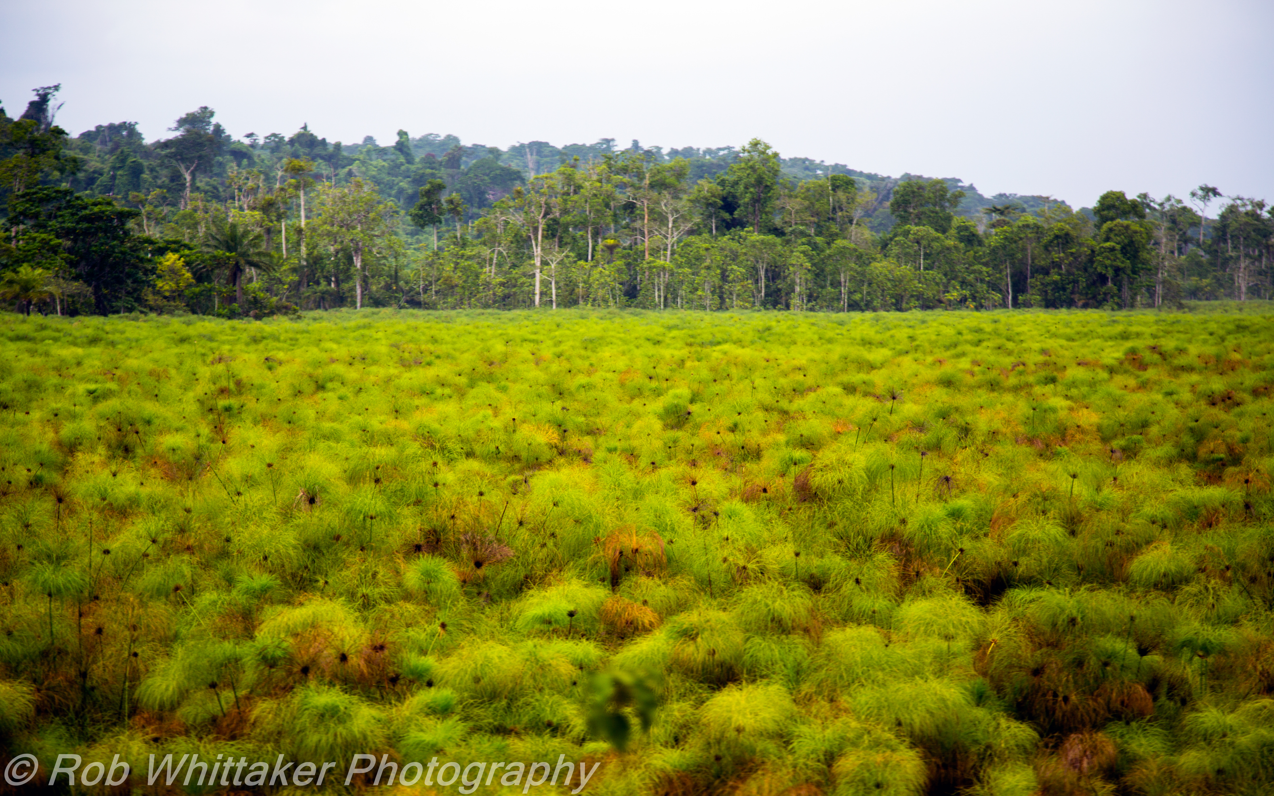
Swamp vegetation

Amazing leaning house DRC

Collapsing House

Top heavy hitch hikers

Tribal village Muanda DRC

Overcrowded trucks

Congo Police Station

Police Chief Congo

Overloaded Truck DRC

Policemen Portrait

DRC Potholes

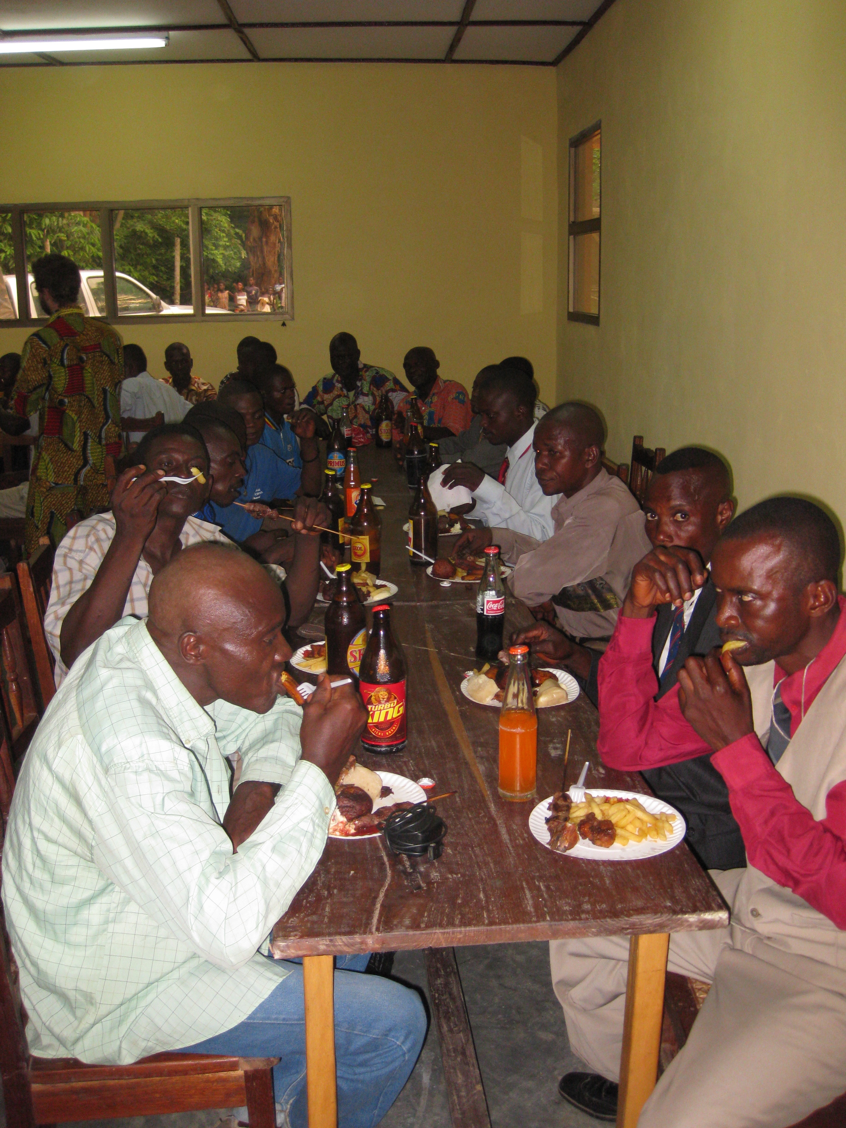
PRECI 2009

PRECI 2009

PRECI 2009

PRECI 2009
PRECI 2009

PRECI 2009

PRECI 2009

PRECI 2009

PRECI 2009

PRECI 2009
Topographic Map of Territoire de Muanda, Democratic Republic of the Congo
Find elevation by address:

Places in Territoire de Muanda, Democratic Republic of the Congo:
Places near Territoire de Muanda, Democratic Republic of the Congo:
Recent Searches:
- Elevation of 6 Muir St, Medowie NSW, Australia
- Elevation of Woodland Road, Woodland Rd, Lee, MA, USA
- Elevation of Turner Mill Rd, Talladega, AL, USA
- Elevation of Wylie Ridge Rd, New Cumberland, WV, USA
- Elevation of Dogwood Ln, Millsboro, DE, USA
- Elevation of Paseo Lucido, San Diego, CA, USA
- Elevation of W S, Orem, UT, USA
- Elevation of Water Bird Wy, Punta Gorda, FL, USA
- Elevation of Teiskontie 8, Tampere, Finland
- Elevation of Pacific View Dr, Malibu, CA, USA