Elevation of Terrie Rd, Aurora, NE, USA
Location: United States > Nebraska > Hamilton County > Aurora >
Longitude: -98.007672
Latitude: 40.8758665
Elevation: 538m / 1765feet
Barometric Pressure: 95KPa
Elevation Map:
Satellite Map:
Related Photos:
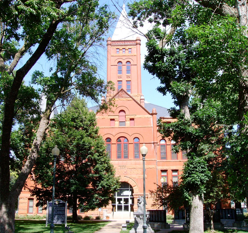
Hamilton County Courthouse (Aurora, Nebraska)
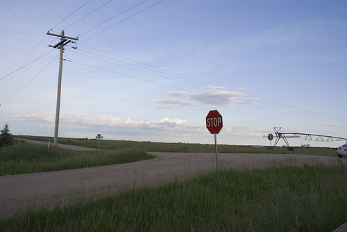
corner of 8 Rd and G Rd, Giltner
Nebraska - Day 1 of 7

Frozen Lake

Hampton, Nebraska

Brian's Property
Sculpture Garden
Sculpture Garden
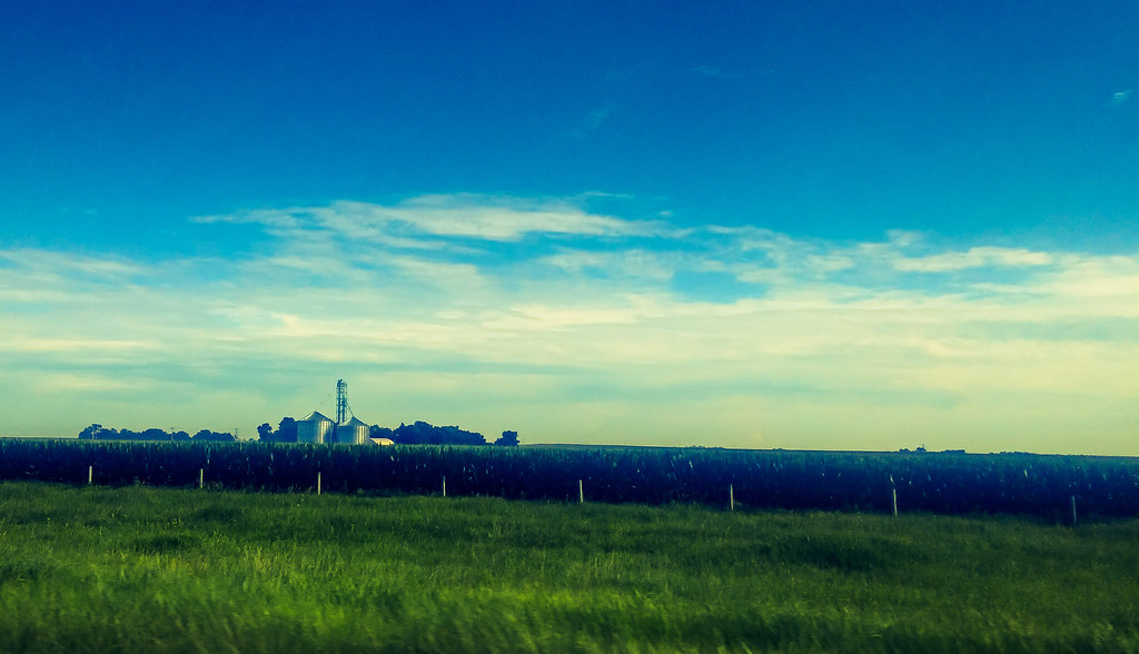
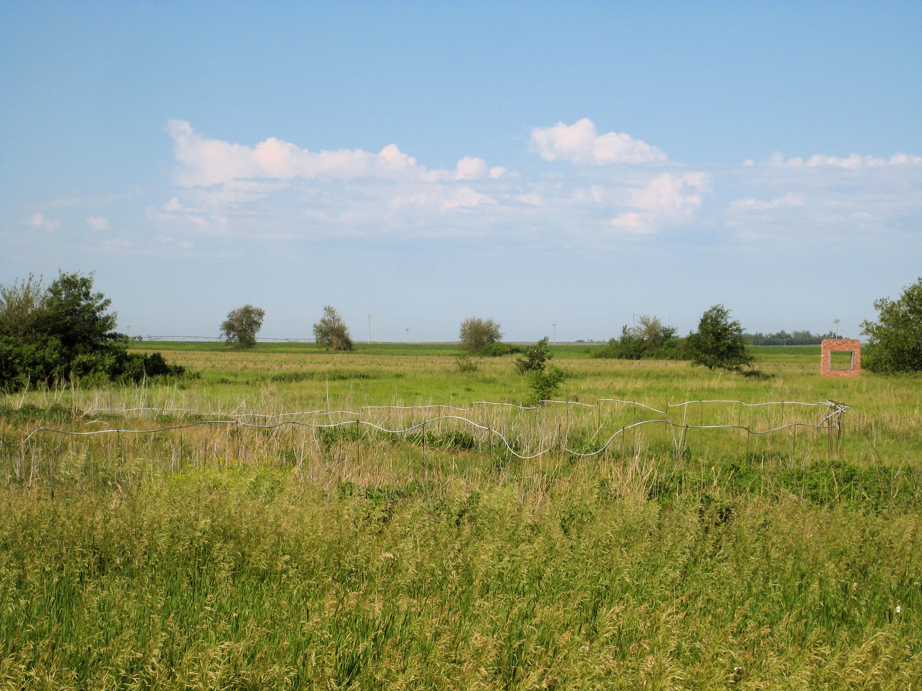
A Nebraska farm.

Flock of birds over a field

➳ Waves. Change has hit me like a huge wave. After living and working in Thailand for the last year it was time for change. I am now driving across the United States from Philadelphia to my new home in San Francisco. Excited for what the future holds.

#Sunset as #lightning illuminates the mammatus clouds over the Nebraska landscape on May 29, 2008. Taken with a #Canon Rebel XTi. #thunderstorm #newx #weather #clouds #sky
Topographic Map of Terrie Rd, Aurora, NE, USA
Find elevation by address:

Places near Terrie Rd, Aurora, NE, USA:
Aurora
1406 W 11 Rd
Hamilton County
Marquette
Platte River
120 Timbercove Rd
Grigsby Ron
Riverside Park
N W Rd, Hordville, NE, USA
Bader Drive
Lone Tree
Hordville
Central City
Bradshaw
Vieregg
Bradshaw
Lincoln St, Bradshaw, NE, USA
Prairie Creek
1062 Geddes St
1410 Geddes St
Recent Searches:
- Elevation of 15th Ave SE, St. Petersburg, FL, USA
- Elevation of Beall Road, Beall Rd, Florida, USA
- Elevation of Leguwa, Nepal
- Elevation of County Rd, Enterprise, AL, USA
- Elevation of Kolchuginsky District, Vladimir Oblast, Russia
- Elevation of Shustino, Vladimir Oblast, Russia
- Elevation of Lampiasi St, Sarasota, FL, USA
- Elevation of Elwyn Dr, Roanoke Rapids, NC, USA
- Elevation of Congressional Dr, Stevensville, MD, USA
- Elevation of Bellview Rd, McLean, VA, USA