Elevation of Teocuitatlán de Corona, Jal., Mexico
Location: Mexico > Jalisco >
Longitude: -103.37844
Latitude: 20.0920434
Elevation: 1381m / 4531feet
Barometric Pressure: 86KPa
Elevation Map:
Satellite Map:
Related Photos:
Liberty 2
Restaurant Ciudad Guzman
Restaurant Ciudad Guzman

Restaurant Ciudad Guzman

Jeep 3
Restaurant Ciudad Guzman

Restaurant Ciudad Guzman
Restaurant Ciudad Guzman
Restaurant Ciudad Guzman
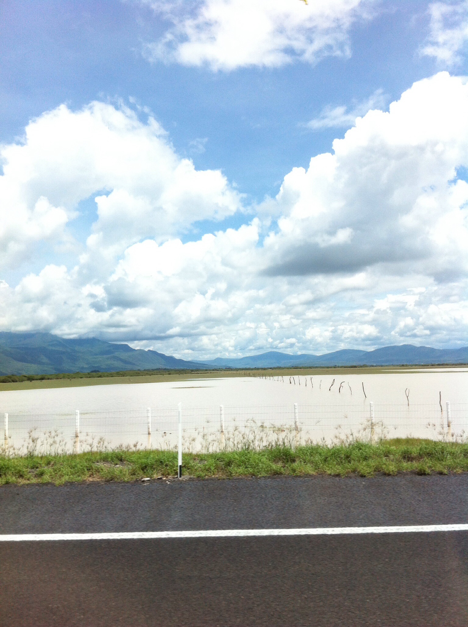
Laguna de Sayula
Laguna de Sayula Panorama 1
Restaurant Ciudad Guzman

Casual :)

Restaurant Ciudad Guzman

Restaurant Ciudad Guzman

Restaurant Ciudad Guzman
Topographic Map of Teocuitatlán de Corona, Jal., Mexico
Find elevation by address:

Places in Teocuitatlán de Corona, Jal., Mexico:
Places near Teocuitatlán de Corona, Jal., Mexico:
Calle Independencia 15, Teocuitatlán de Corona, Jal., Mexico
San Sebastián
Constitución 5, San Sebastián, San Sebastián, Jal., Mexico
Techaluta De Montenegro
Chantepec
Hidalgo 26, Jocotepec Centro, Jocotepec, Jal., Mexico
Cjon. De La Zapota 22
Zacoalco De Torres
Ajijic
Hermenegildo Galeana 18
La Manzanilla De La Paz
Paseo De Las Brisas 7
San Antonio Tlayacapan
Paseo De La Vista 146
Guerrero 120
Chapala
Chapala
Emiliano Zapata 3, Jalisco, Mexico
Concepción De Buenos Aires
Barranca De Santa Clara
Recent Searches:
- Elevation of Elwyn Dr, Roanoke Rapids, NC, USA
- Elevation of Congressional Dr, Stevensville, MD, USA
- Elevation of Bellview Rd, McLean, VA, USA
- Elevation of Stage Island Rd, Chatham, MA, USA
- Elevation of Shibuya Scramble Crossing, 21 Udagawacho, Shibuya City, Tokyo -, Japan
- Elevation of Jadagoniai, Kaunas District Municipality, Lithuania
- Elevation of Pagonija rock, Kranto 7-oji g. 8"N, Kaunas, Lithuania
- Elevation of Co Rd 87, Jamestown, CO, USA
- Elevation of Tenjo, Cundinamarca, Colombia
- Elevation of Côte-des-Neiges, Montreal, QC H4A 3J6, Canada