Elevation of Tent Church Rd, Uniontown, PA, USA
Location: United States > Pennsylvania > Fayette County > Uniontown >
Longitude: -79.767287
Latitude: 39.8562764
Elevation: 347m / 1138feet
Barometric Pressure: 97KPa
Elevation Map:
Satellite Map:
Related Photos:
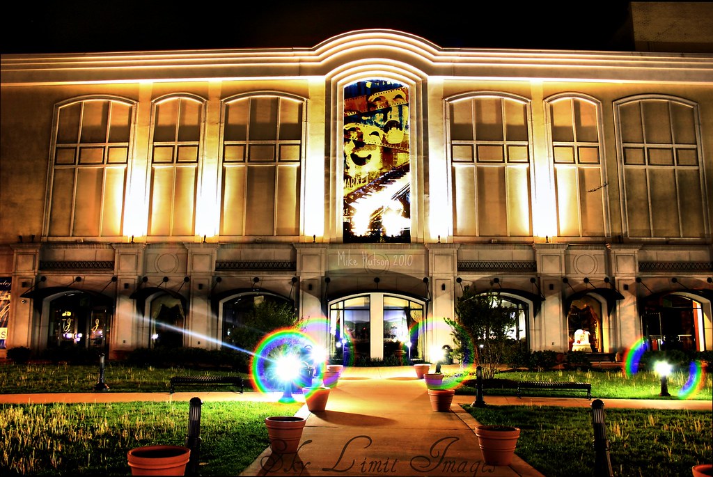
Happy or Sad
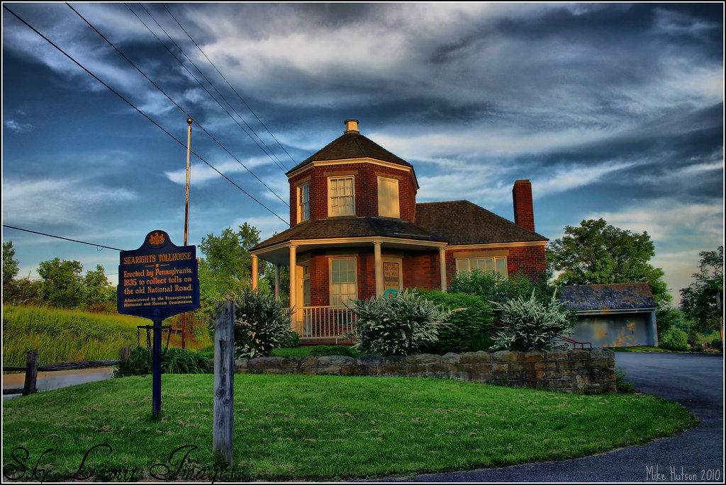
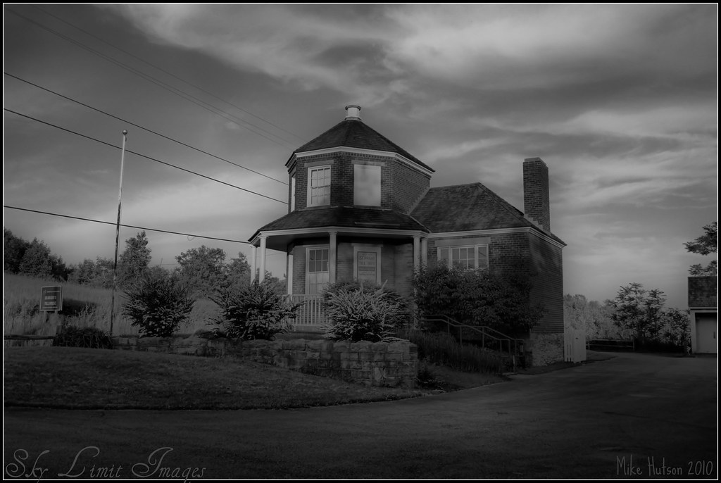
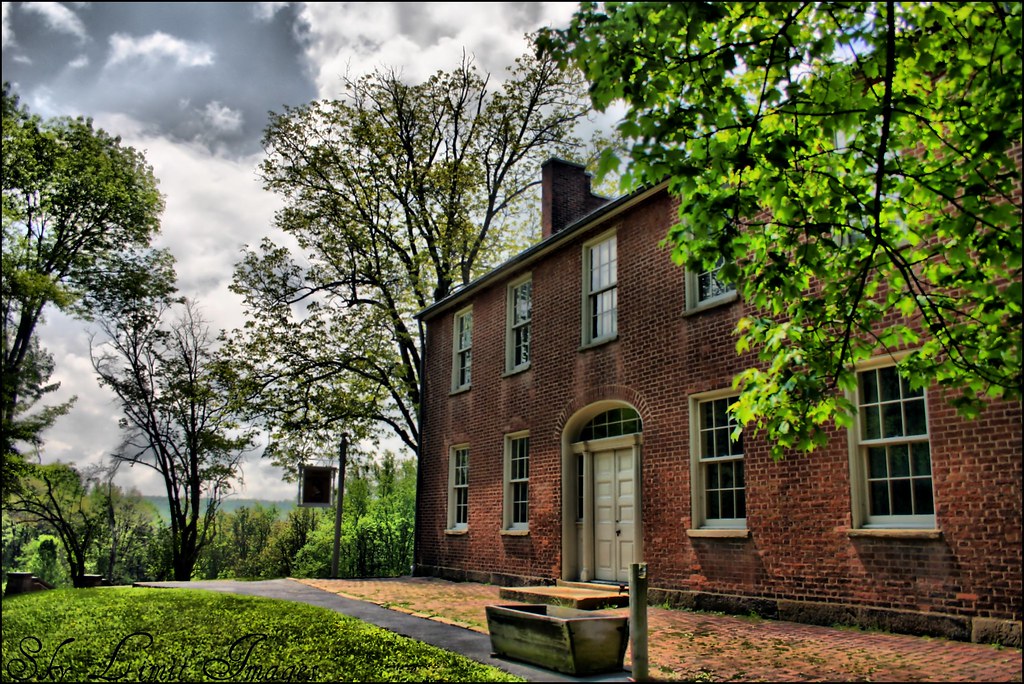
Searights Tollhouse
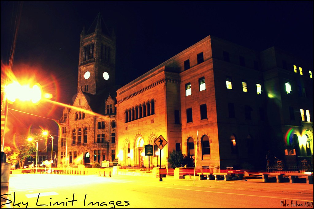
The Courthouse

My little cutie pie!
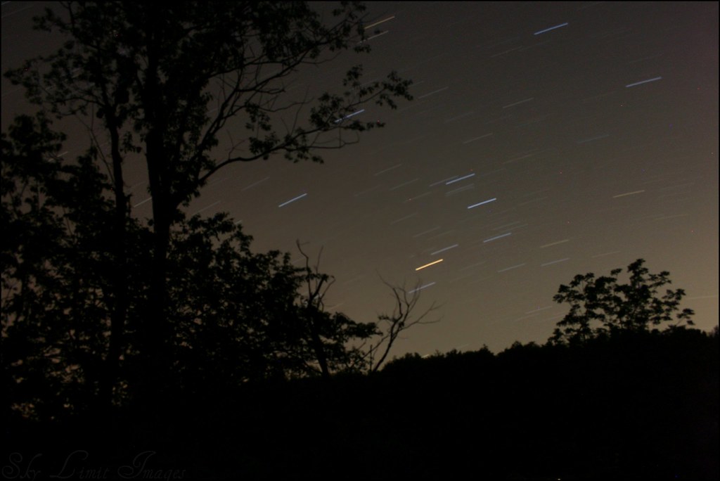
Stars are the daisies that begem the blue fields of the sky.

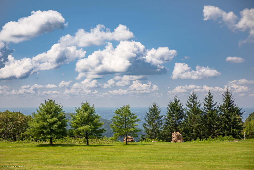
Green Pastures
Searights Tollhouse B&W HDR
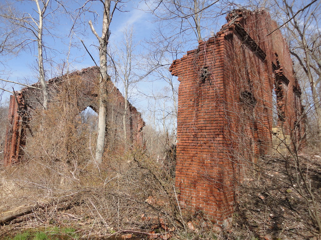
Nemacolin #9
Bing view Rt 51 MINI-MART
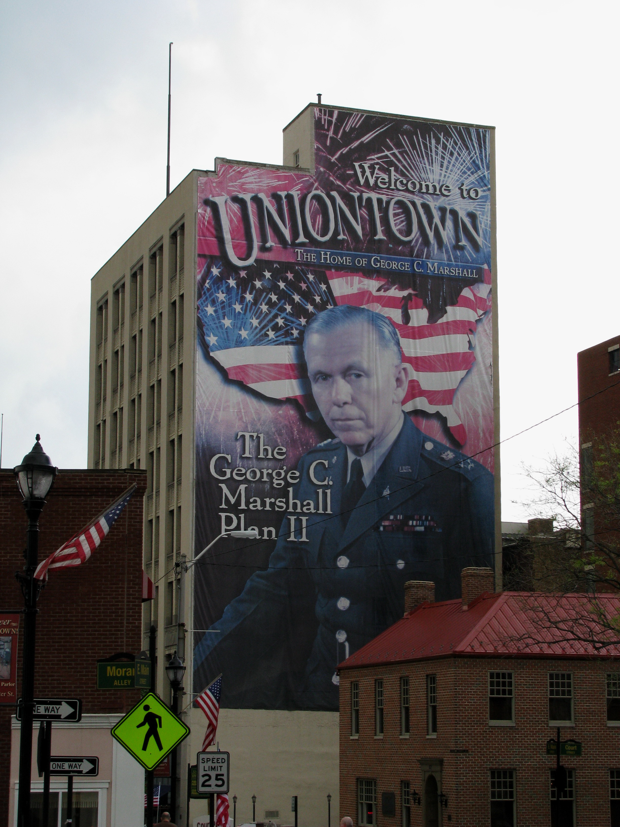
Uniontown's most famous son looks down on his city

SWP 3503 and 3501 (6)
Life is raw material. We are artisans. We can sculpt our existence into something beautiful, or debase it into ugliness. It's in our hands. - Cathy Better
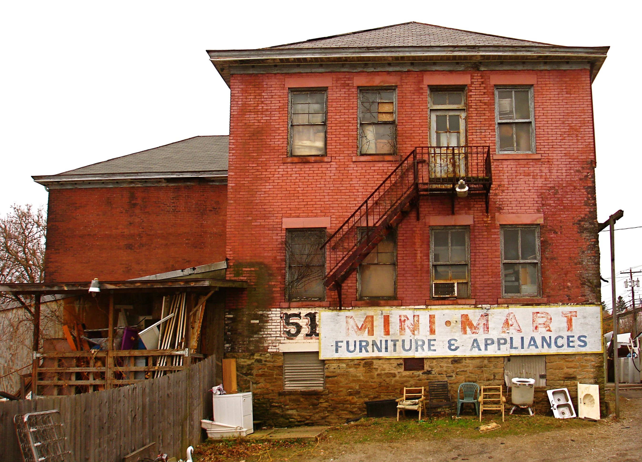
Rt. 51 MINI-MART (Fayette School)
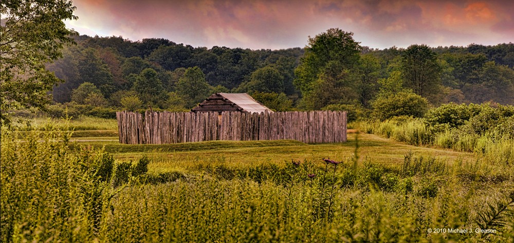
Fort Necessity at "sunset"
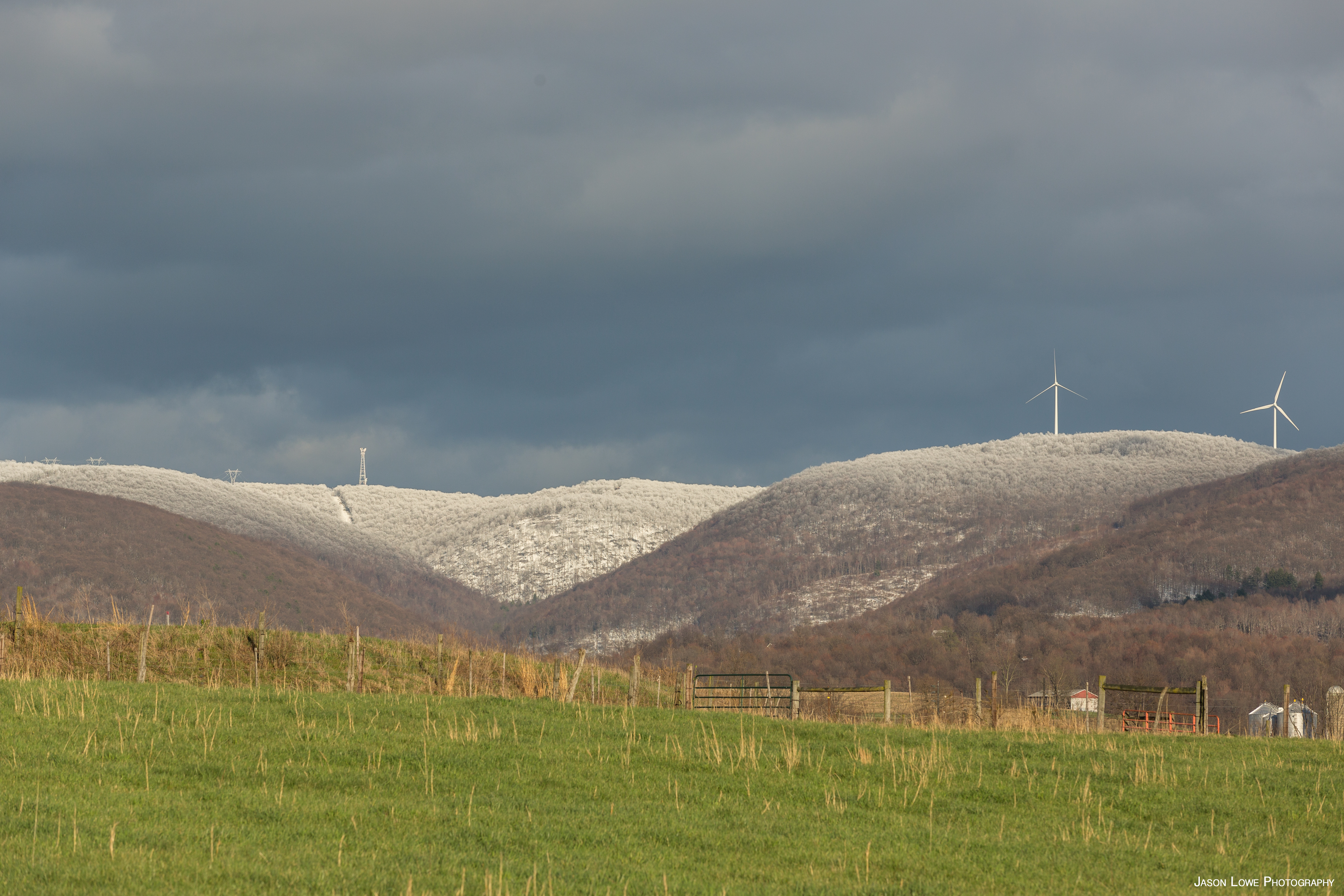
Snow Capped
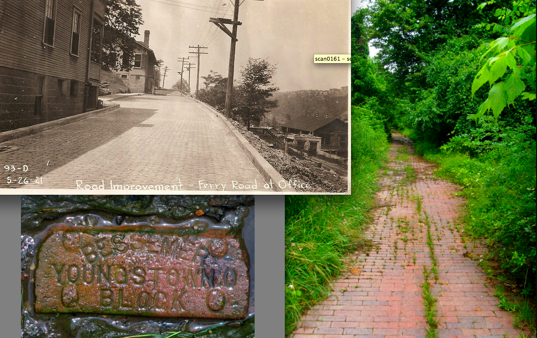
Nemacolin, Pa Ferry Rd.
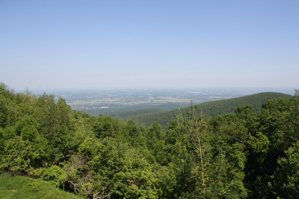
View from the Summit Inn
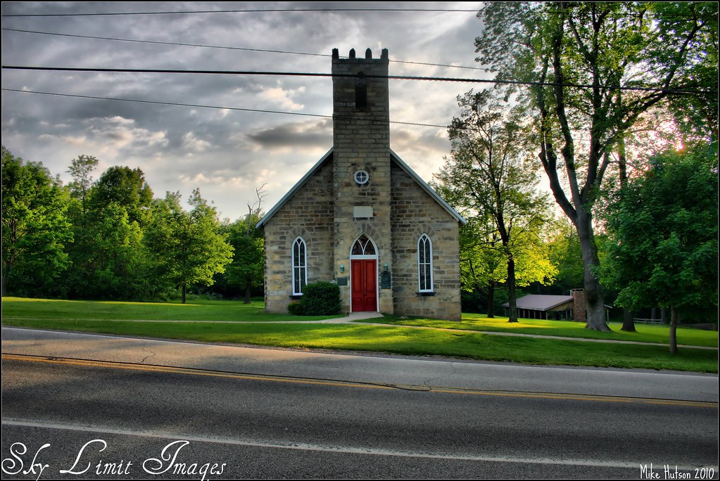
The smallest church ever!

Black Bird (62)
Laurel Caverns - View From The Visitors Center's Balcony

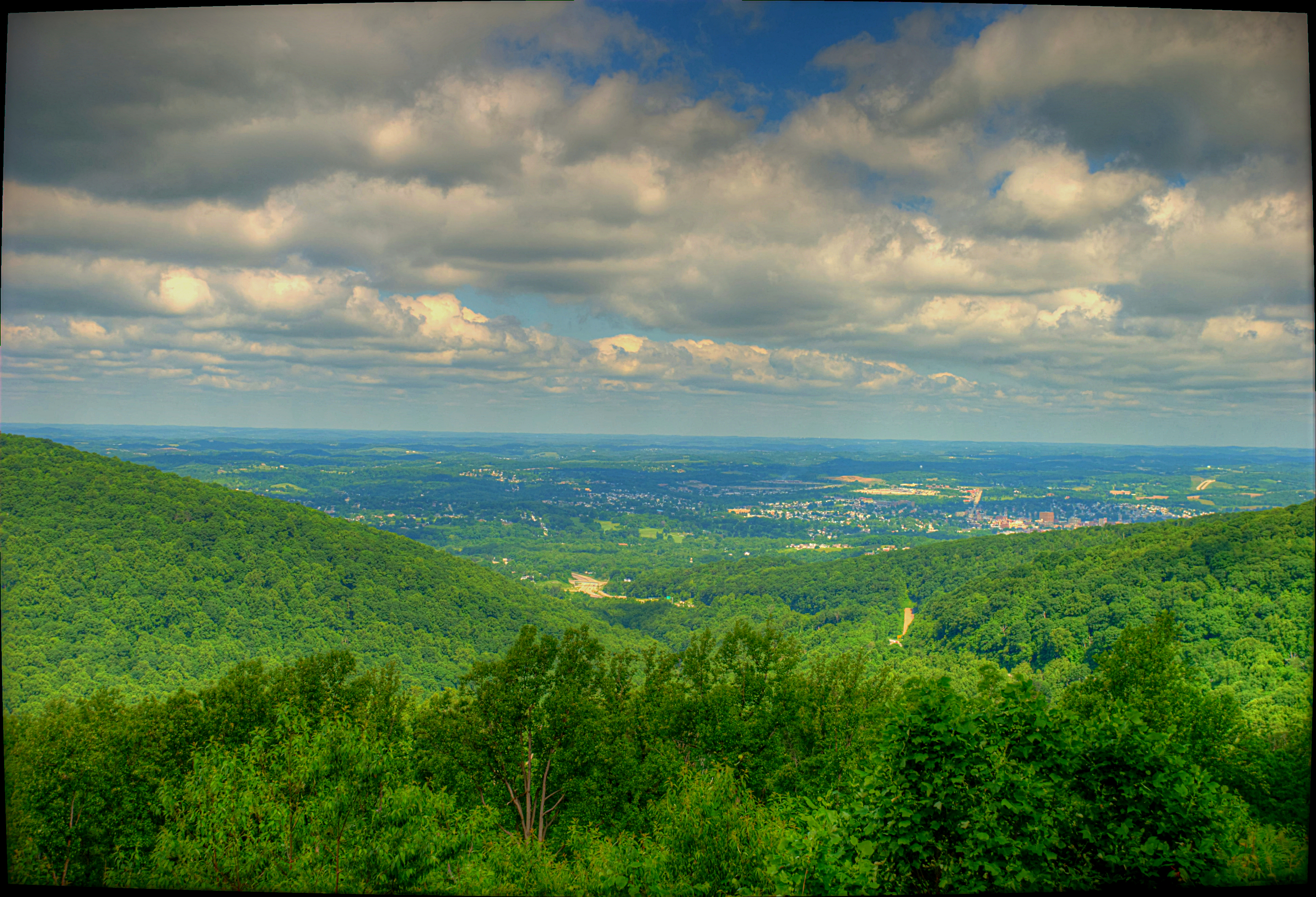
Uniontown, PA 1

IMG_2127-2128pantzl1scTBbLG
Mud Pike Rays
fall color
Jumonville Glen
Hopwood, Fayette County, PA
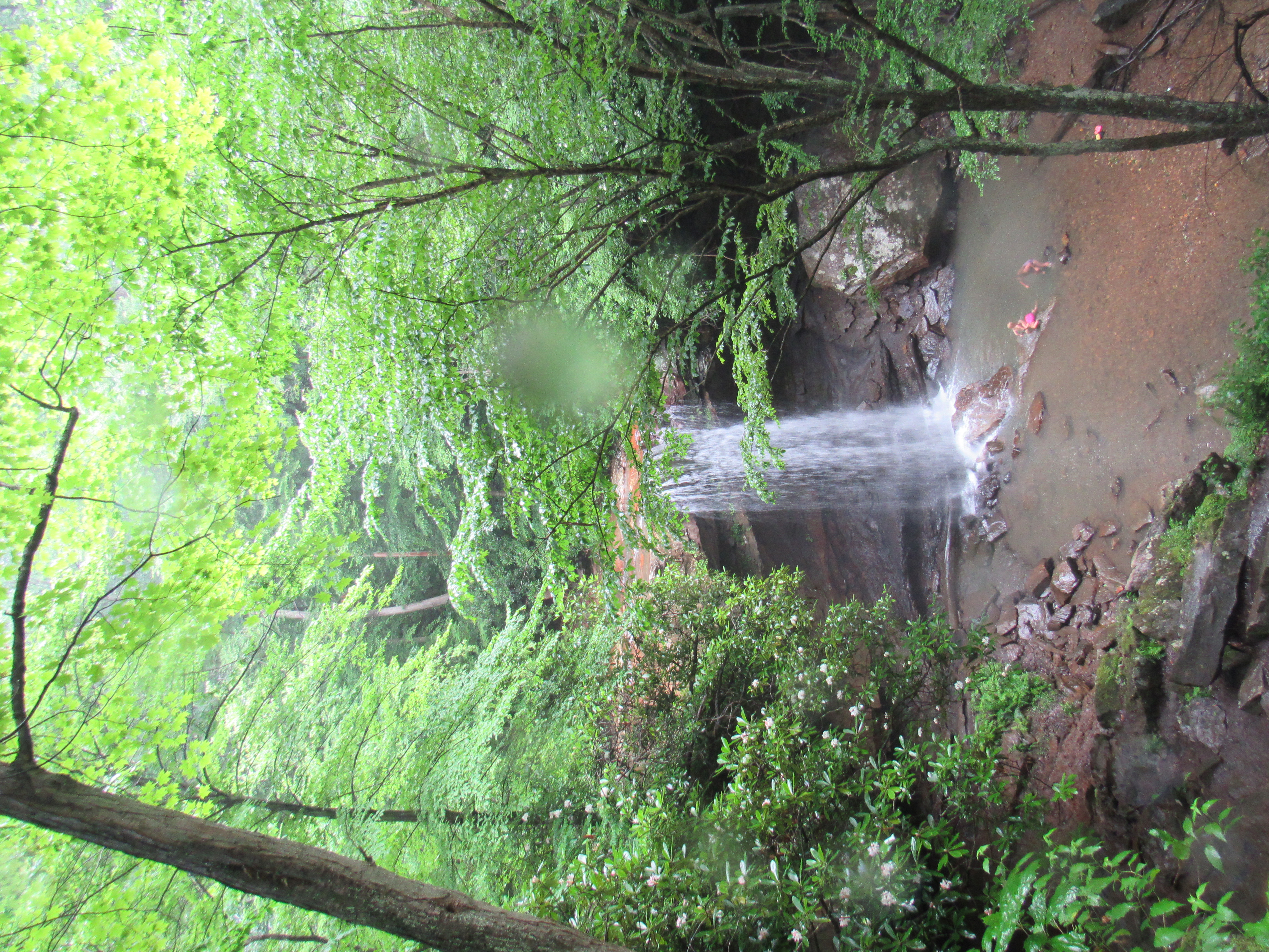
Ohiopyle State Park - Cucumber Falls
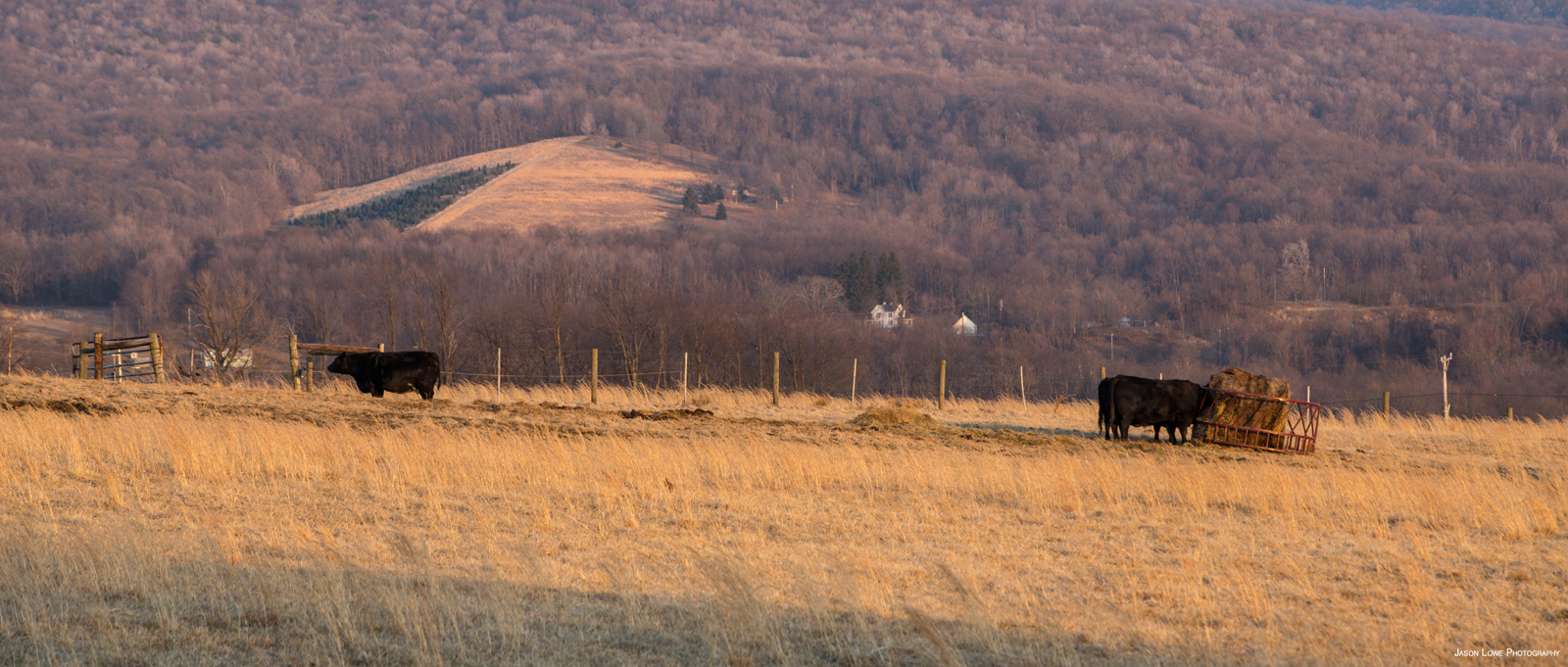
Call to the Cows
IMG_6574.JPG
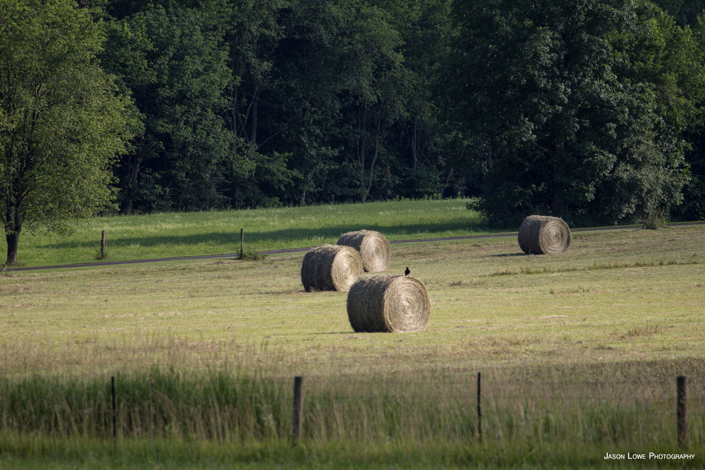
Hay Bales
Hopwood, Fayette County, PA

Gregory.
Hopwood, Fayette County, PA
did george washington stand here?
Hopwood, Fayette County, PA

Laurel Caverns View
Thompson 2
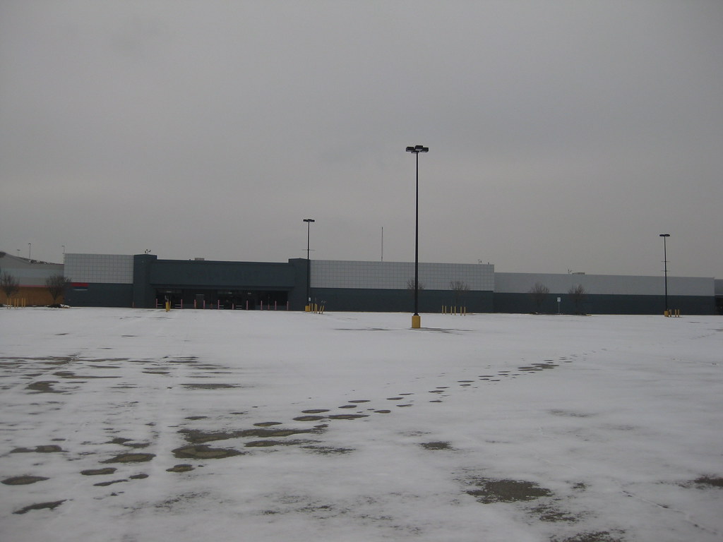
Abandoned Wal-Mart - Uniontown, PA
Hopwood, Fayette County, PA
TG 14 06 14 003
IMG_3539-41Ptzl1scTBbLG
Browns Run Trail Fall
Topographic Map of Tent Church Rd, Uniontown, PA, USA
Find elevation by address:

Places near Tent Church Rd, Uniontown, PA, USA:
328 Collier Rd
108 Country Estates Rd
3030 Langley Rd
132 Collier Rd
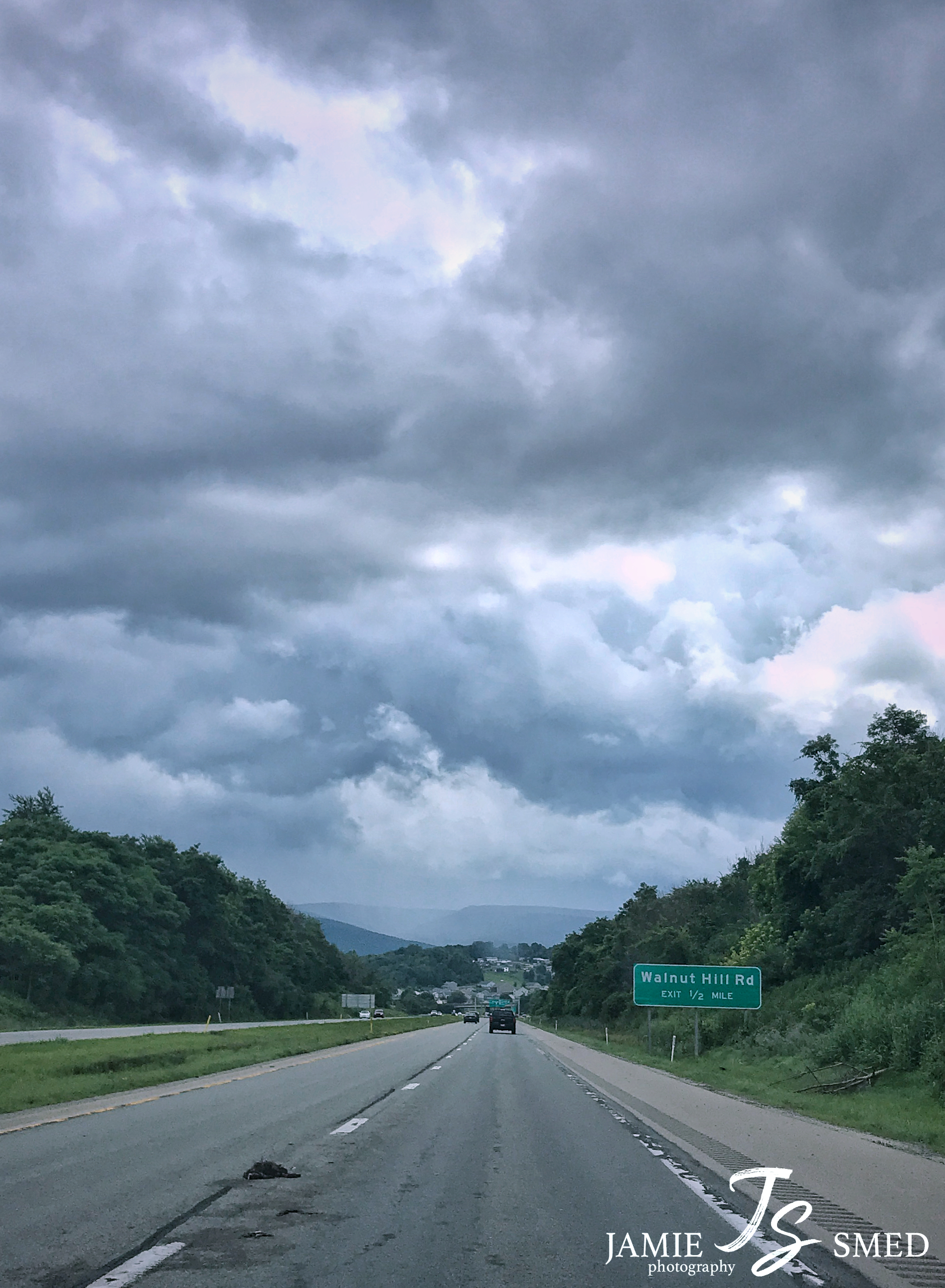
Walnut Hill Rd, Uniontown, PA, USA
8 Jeffreys Ln
Club York Rd, Uniontown, PA, USA
690 Morgantown Rd
South Union Township
Fairchance
8 Sheldon Ave, Fairchance, PA, USA
180 Old Walnut Hill Rd
630 Morgantown Rd
Thomas Dr, Uniontown, PA, USA
Leith-hatfield
121 Walnut Hill Rd
Morgantown Road
640 Cherry Tree Ln
435 Morgantown St
308 Mcclellandtown Rd
Recent Searches:
- Elevation of Sattva Horizon, 4JC6+G9P, Vinayak Nagar, Kattigenahalli, Bengaluru, Karnataka, India
- Elevation of Great Brook Sports, Gold Star Hwy, Groton, CT, USA
- Elevation of 10 Mountain Laurels Dr, Nashua, NH, USA
- Elevation of 16 Gilboa Ln, Nashua, NH, USA
- Elevation of Laurel Rd, Townsend, TN, USA
- Elevation of 3 Nestling Wood Dr, Long Valley, NJ, USA
- Elevation of Ilungu, Tanzania
- Elevation of Yellow Springs Road, Yellow Springs Rd, Chester Springs, PA, USA
- Elevation of Rēzekne Municipality, Latvia
- Elevation of Plikpūrmaļi, Vērēmi Parish, Rēzekne Municipality, LV-, Latvia