Elevation of Tene Omarim A, West Bank, Tene
Longitude: 34.958452
Latitude: 31.373337
Elevation: 563m / 1847feet
Barometric Pressure: 95KPa
Elevation Map:
Satellite Map:
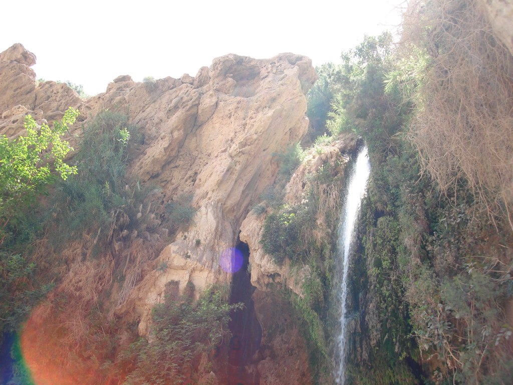
Related Photos:

in the field (+2000 views thanks !)

sunset on thursday : week end time ! (+3000 views, thanks !)

need to go to the hairdresser (+1000 views, thanks!)

sweet and sweet (+1000 views, thanks!)

P191_2011-12-10 (42)

DSC03628.JPG

snapseed-02-02

DSC03277.JPG

snapseed-19-01

#goodmorning #trance#party#israel#rave#negev#tree#middleast #music#nature#festiavl#2016 #holyland #holylandproductions #orenrosenfeld #beautuful #sunrise#trees

DSC03264.JPG

20180705_182331-01

DSC03624.JPG

DSC03671.JPG

snapseed-22

DSC03591.JPG

IMG_4446.JPG

DSC03631.JPG

DSC03430.JPG

DSC03642.JPG

smartphone sunrise photography... or not !

DSC03641.JPG
DSC03594.JPG

DSC03668.JPG

DSC03664.JPG
Topographic Map of Tene Omarim A, West Bank, Tene
Find elevation by address:

Places near Tene Omarim A, West Bank, Tene:
Meitar
Asael
Negohot
Har Amasa
Yata
Omer
Baran Advanced Technologies Ltd.
Tel Be’er Sheba
Lachish
Khurvat (ruin) Beit Loya
Tel Arad
Be'er Sheva
Hebron
Kiryat Arba
Halhul
Hatzerim
Aderet
Valley Of Elah (terebinths)
Valley Of Elah
Ashkelon
Recent Searches:
- Elevation of Pykes Down, Ivybridge PL21 0BY, UK
- Elevation of Jalan Senandin, Lutong, Miri, Sarawak, Malaysia
- Elevation of Bilohirs'k
- Elevation of 30 Oak Lawn Dr, Barkhamsted, CT, USA
- Elevation of Luther Road, Luther Rd, Auburn, CA, USA
- Elevation of Unnamed Road, Respublika Severnaya Osetiya — Alaniya, Russia
- Elevation of Verkhny Fiagdon, North Ossetia–Alania Republic, Russia
- Elevation of F. Viola Hiway, San Rafael, Bulacan, Philippines
- Elevation of Herbage Dr, Gulfport, MS, USA
- Elevation of Lilac Cir, Haldimand, ON N3W 2G9, Canada