Elevation of Tenamaxtlán, Jalisco, Mexico
Location: Mexico > Jalisco >
Longitude: -104.16143
Latitude: 20.2156529
Elevation: 1478m / 4849feet
Barometric Pressure: 85KPa
Elevation Map:
Satellite Map:
Related Photos:

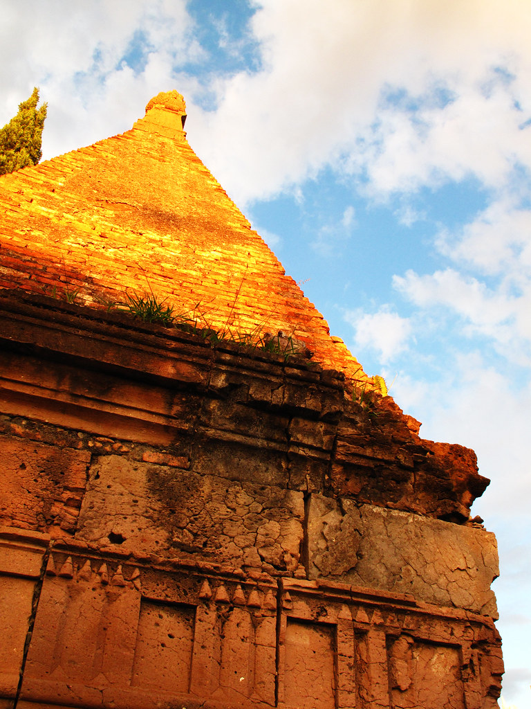
Dos Amigos
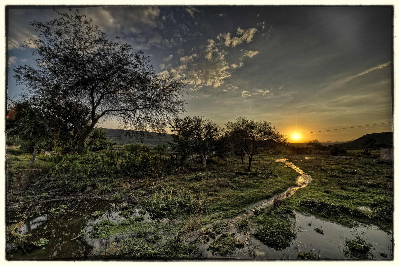
Small Creek Sunset

Kosta Paola Claudia
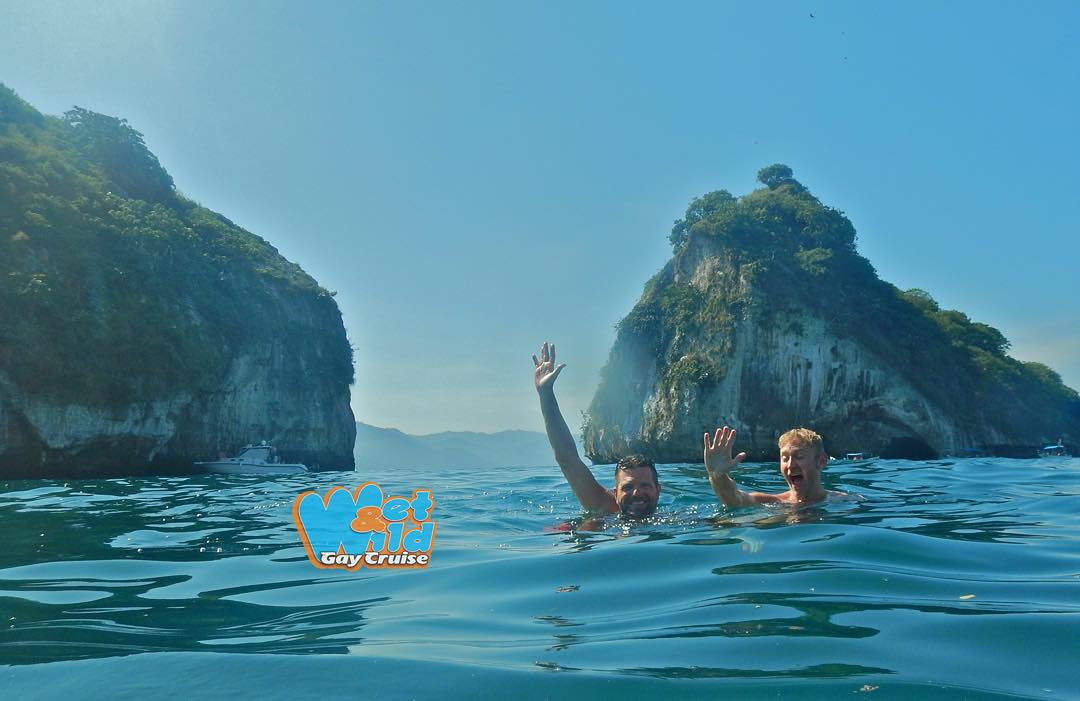
Snorkeling in Los Arcos⚓️⚓️⚓ every Saturday and Wednesday's ️ #wetandwildgaycruise #travel #trophyboy #instagay #instafollow #pv #pvgay #photooftheday #puertovallarta #playalosmuertos #puertovallartagay #amopv #snorkeling #follow4foll

Yolanda irasema ruiz

Cat-Love

WP_20150607_20_10_59_Pro__highres - copia

Duquesa, la Gata

Xylocopa mexicanorum

Aaron Suarez
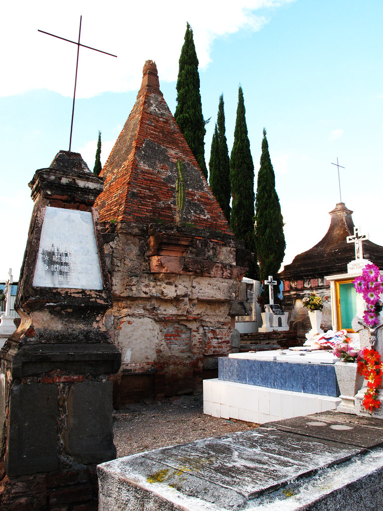
decimonónicos
old and new

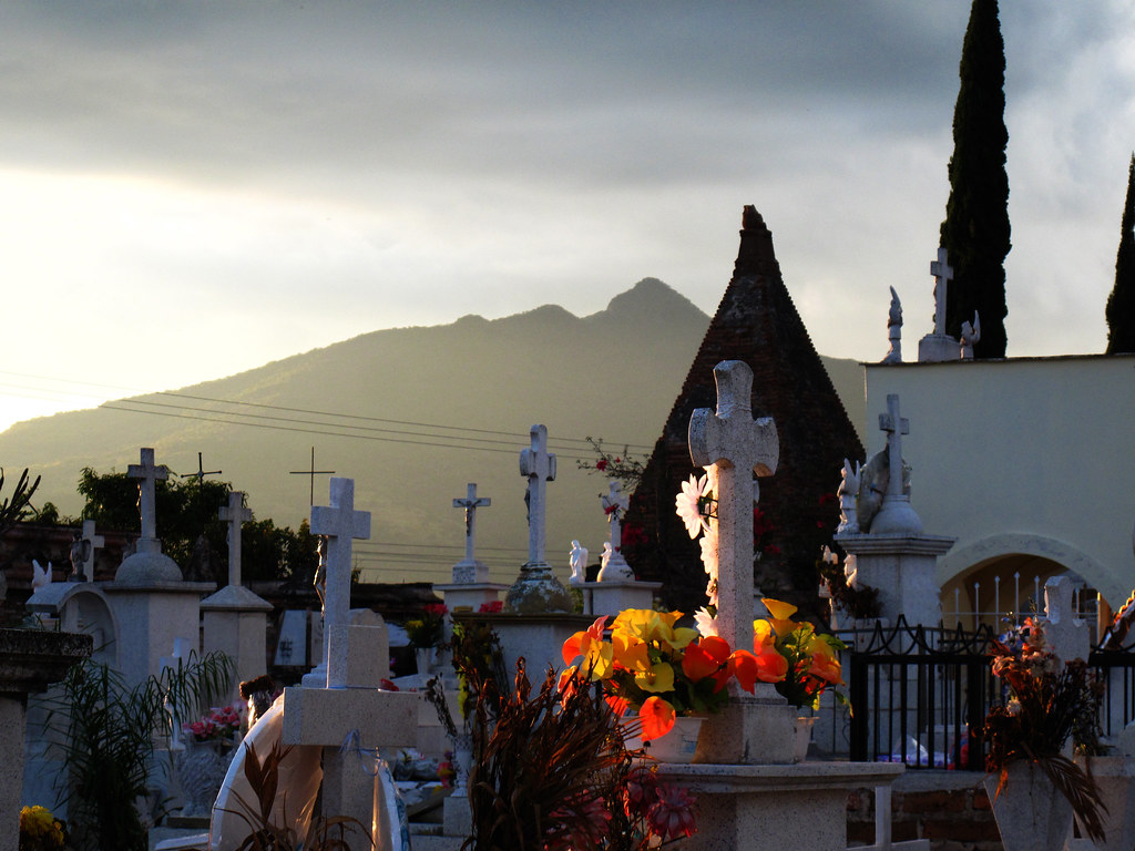
Atardecer funerario II

Atardecer funerario I
dos picos
Luz sepulcral
Long time ago
s.XIX
to the past

Cruces en el cielo
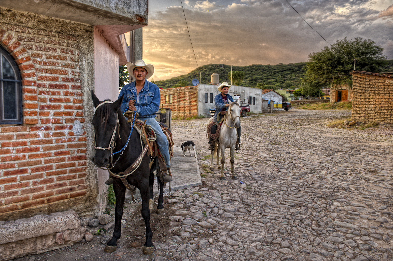
Dos Amigos
Topographic Map of Tenamaxtlán, Jalisco, Mexico
Find elevation by address:

Places in Tenamaxtlán, Jalisco, Mexico:
Places near Tenamaxtlán, Jalisco, Mexico:
Centro
Hidalgo 31, Centro, Ejido del Centro, Jal., Mexico
Ayutla
Calle Aldama 3, La Ciénega, Jal., Mexico
Lázaro Cárdenas 89, Las Paredes, Jal., Mexico
San Miguel De La Sierra
El Rincón
Cuauhtémoc 72, Centro, Autlán de Navarro, Jal., Mexico
Autlán
Centro
Autlán De Navarro
El Chante
Tamaulipas
Tamaulipas
Tamaulipas
Amatlán De Cañas
Villa Purificación
Villa Purificación
Ramón Corona, Villa Purificación, Jal., Mexico
Talpa De Allende
Recent Searches:
- Elevation of Lampiasi St, Sarasota, FL, USA
- Elevation of Elwyn Dr, Roanoke Rapids, NC, USA
- Elevation of Congressional Dr, Stevensville, MD, USA
- Elevation of Bellview Rd, McLean, VA, USA
- Elevation of Stage Island Rd, Chatham, MA, USA
- Elevation of Shibuya Scramble Crossing, 21 Udagawacho, Shibuya City, Tokyo -, Japan
- Elevation of Jadagoniai, Kaunas District Municipality, Lithuania
- Elevation of Pagonija rock, Kranto 7-oji g. 8"N, Kaunas, Lithuania
- Elevation of Co Rd 87, Jamestown, CO, USA
- Elevation of Tenjo, Cundinamarca, Colombia