Elevation of Temagami, ON, Canada
Location: Canada > Ontario > Nipissing District >
Longitude: -79.790937
Latitude: 47.0644964
Elevation: 297m / 974feet
Barometric Pressure: 98KPa
Elevation Map:
Satellite Map:
Related Photos:
Autumn in Northern Ontario
No sign of fire

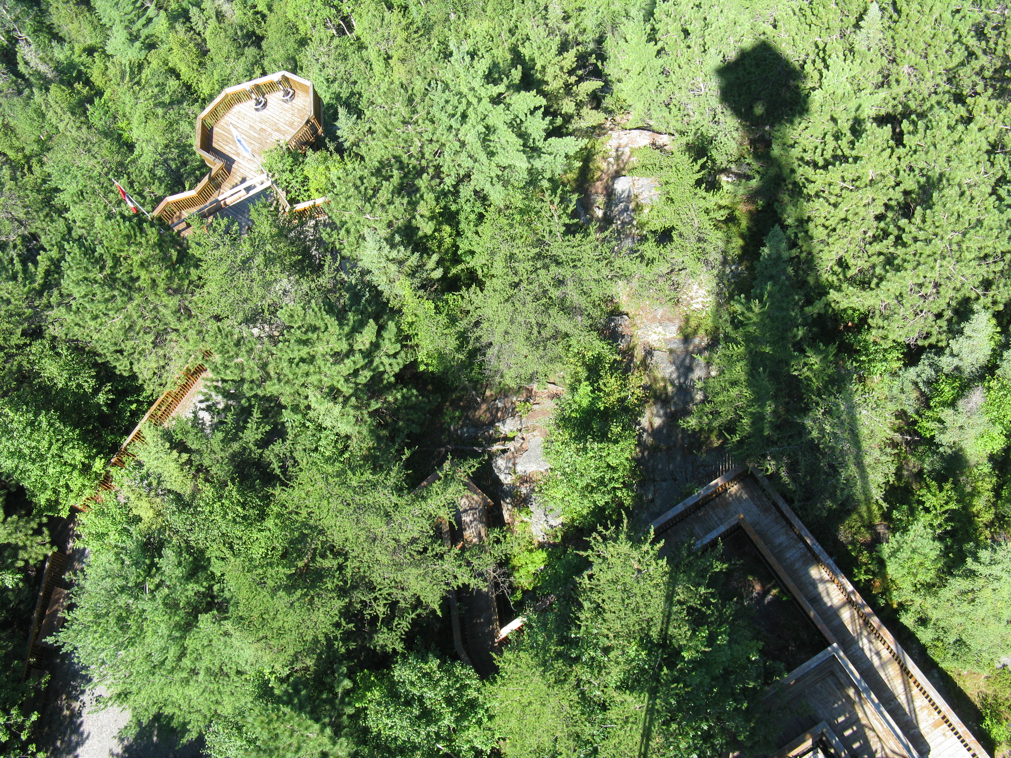
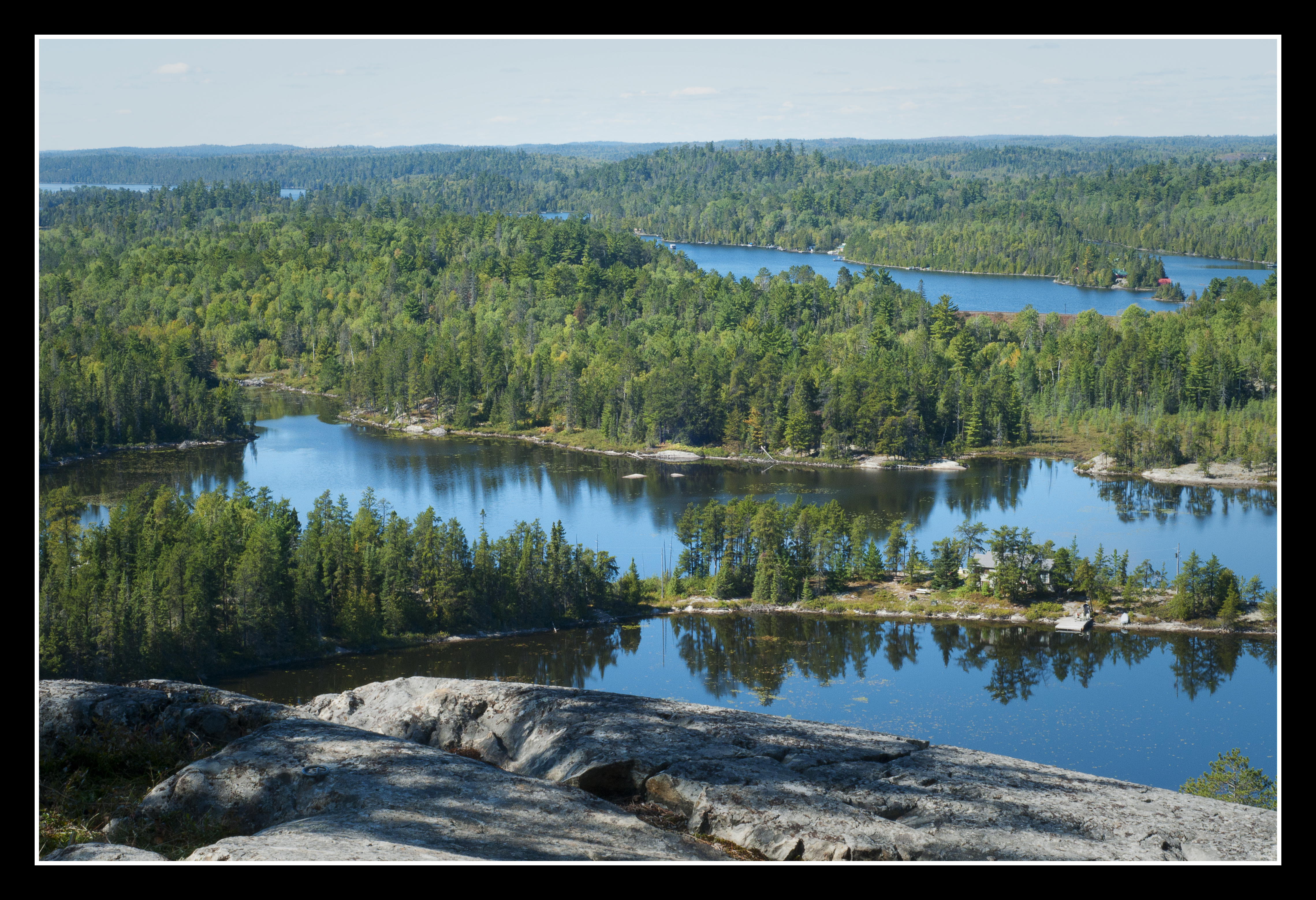
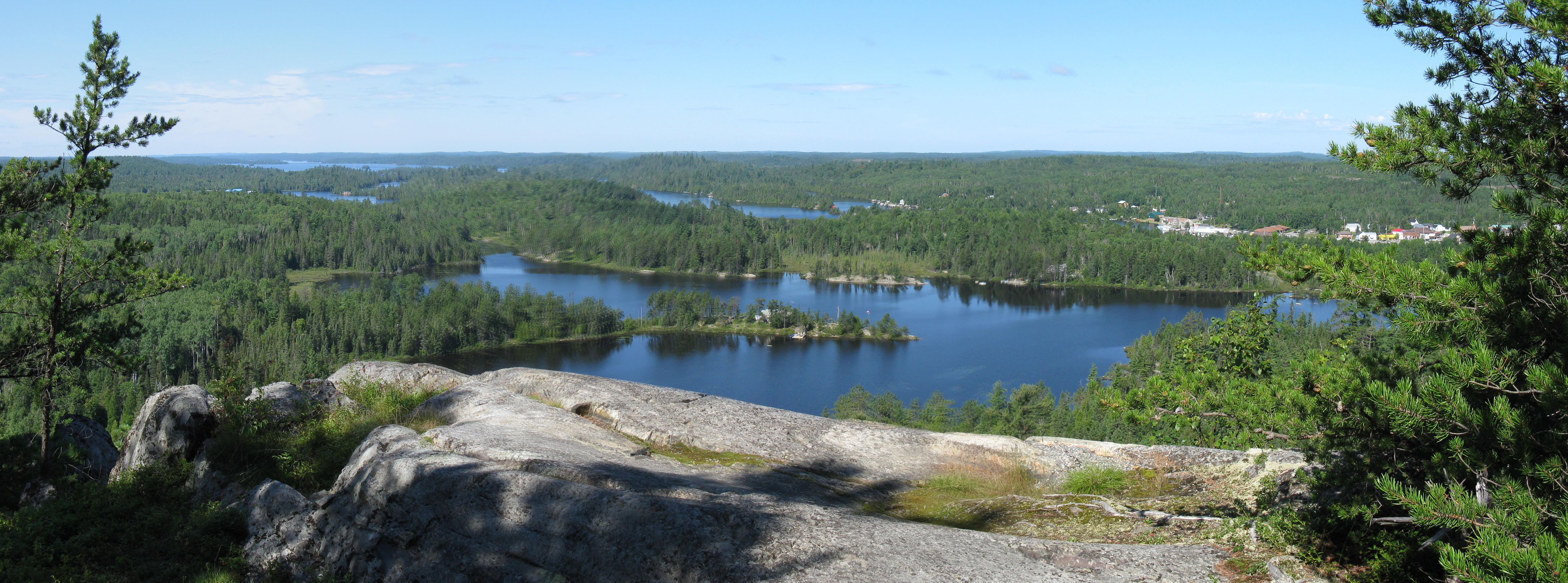
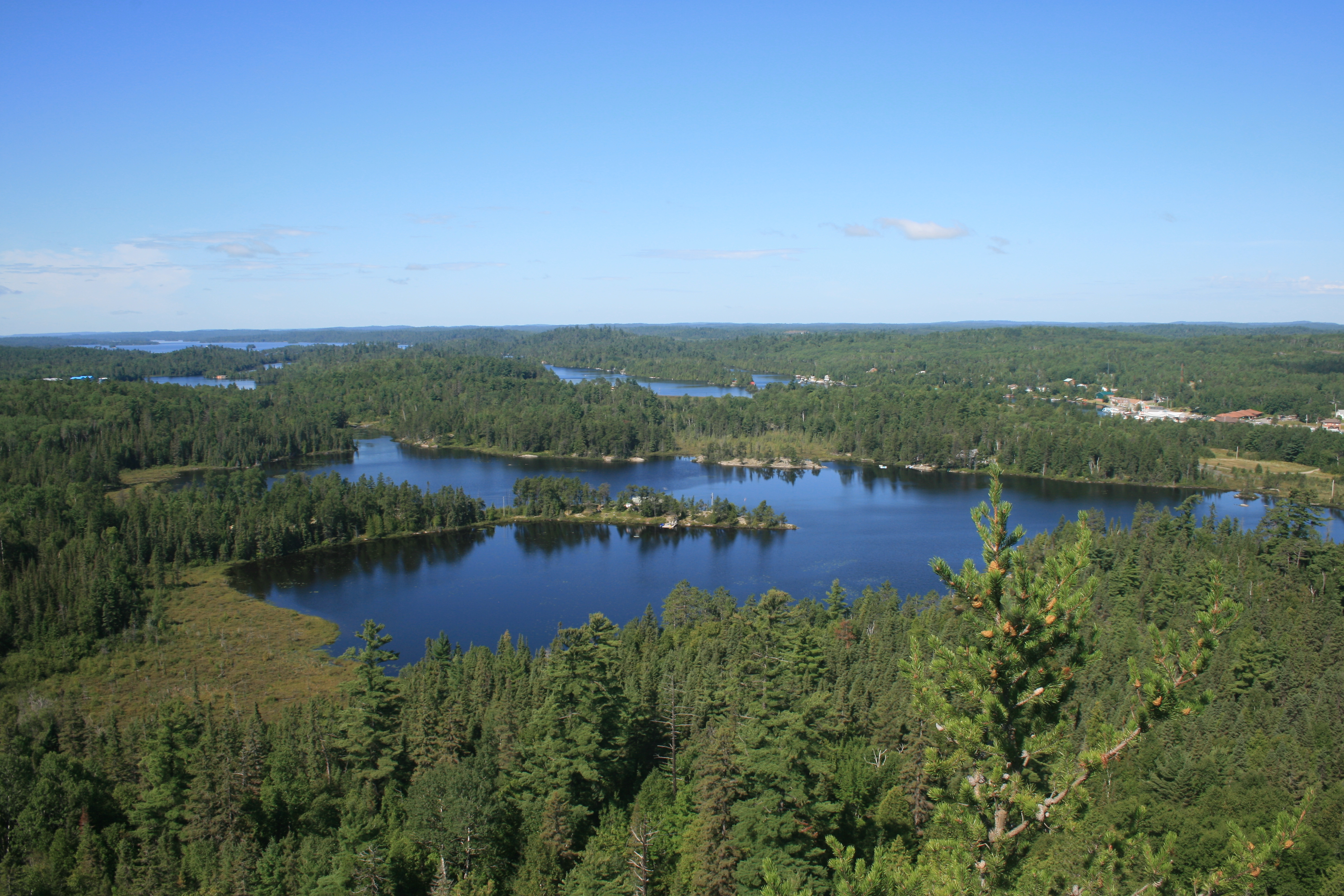
A View from the Temagami Tower

A view from the Temagami Tower
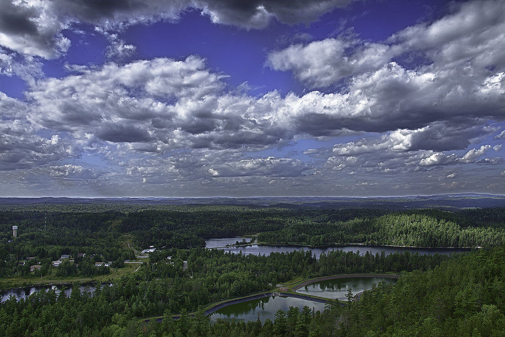
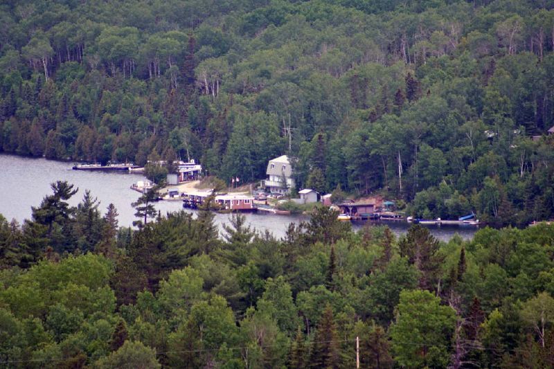
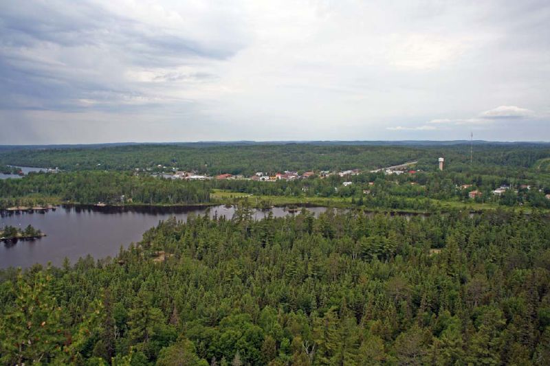
View from the Temagami Fire Tower
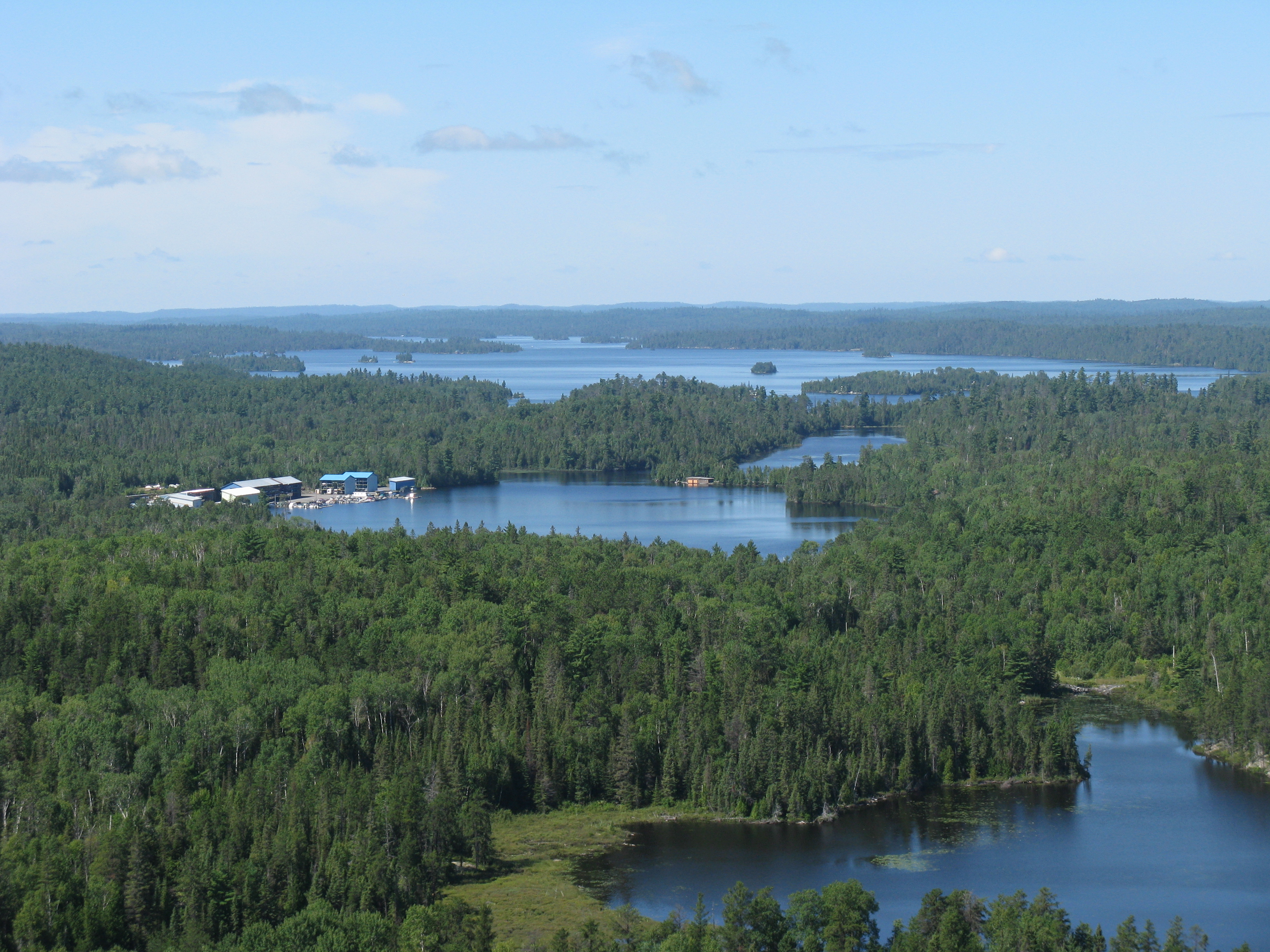
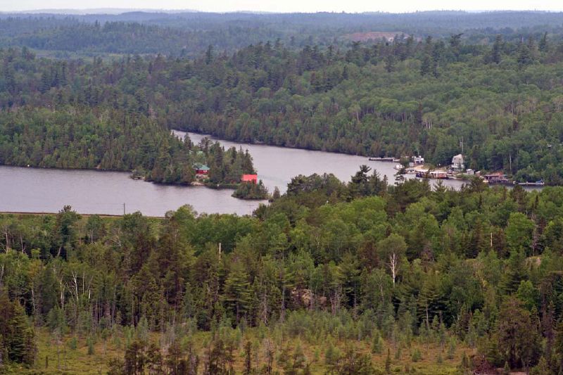
Lakes from the fire tower
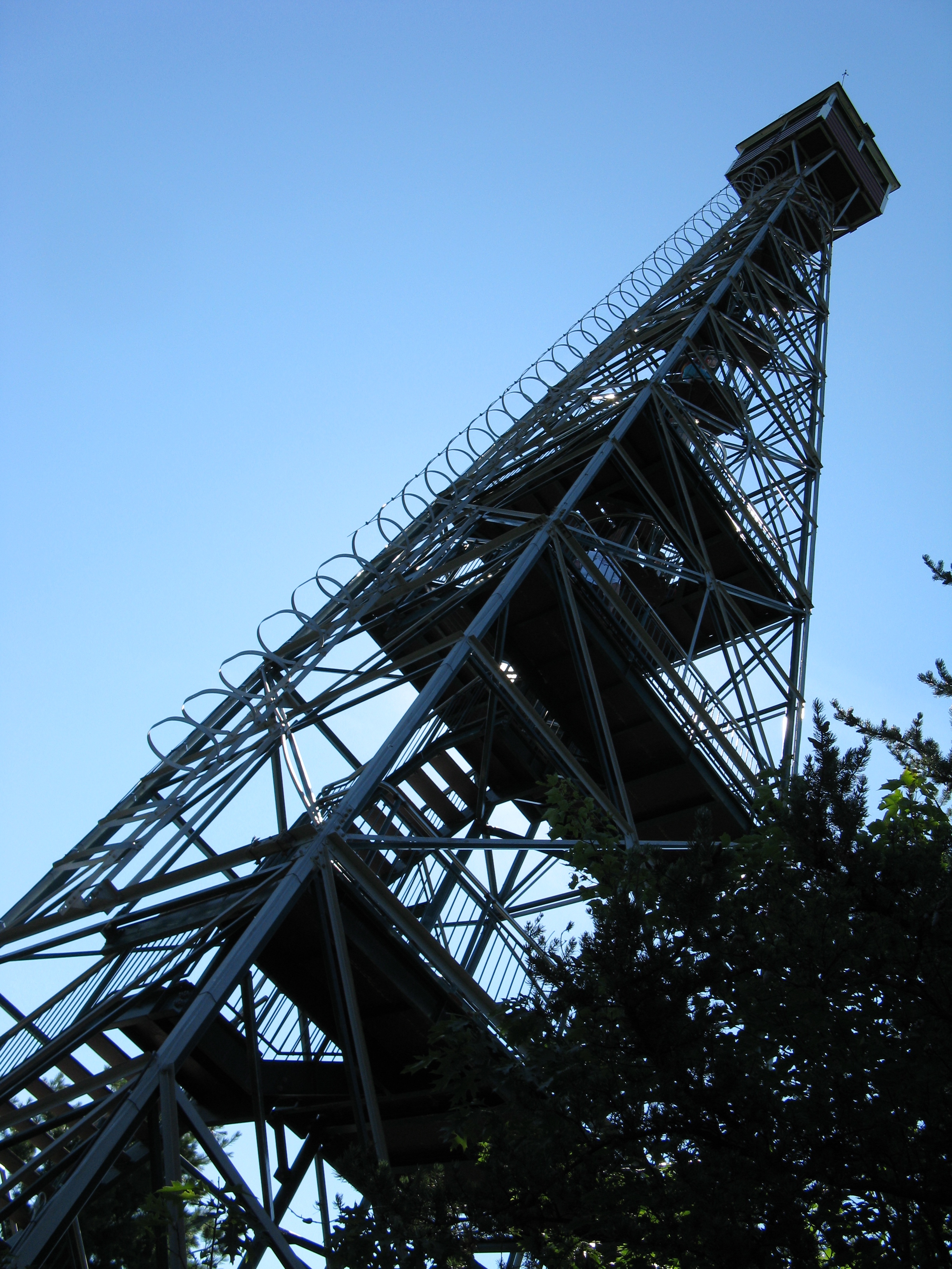
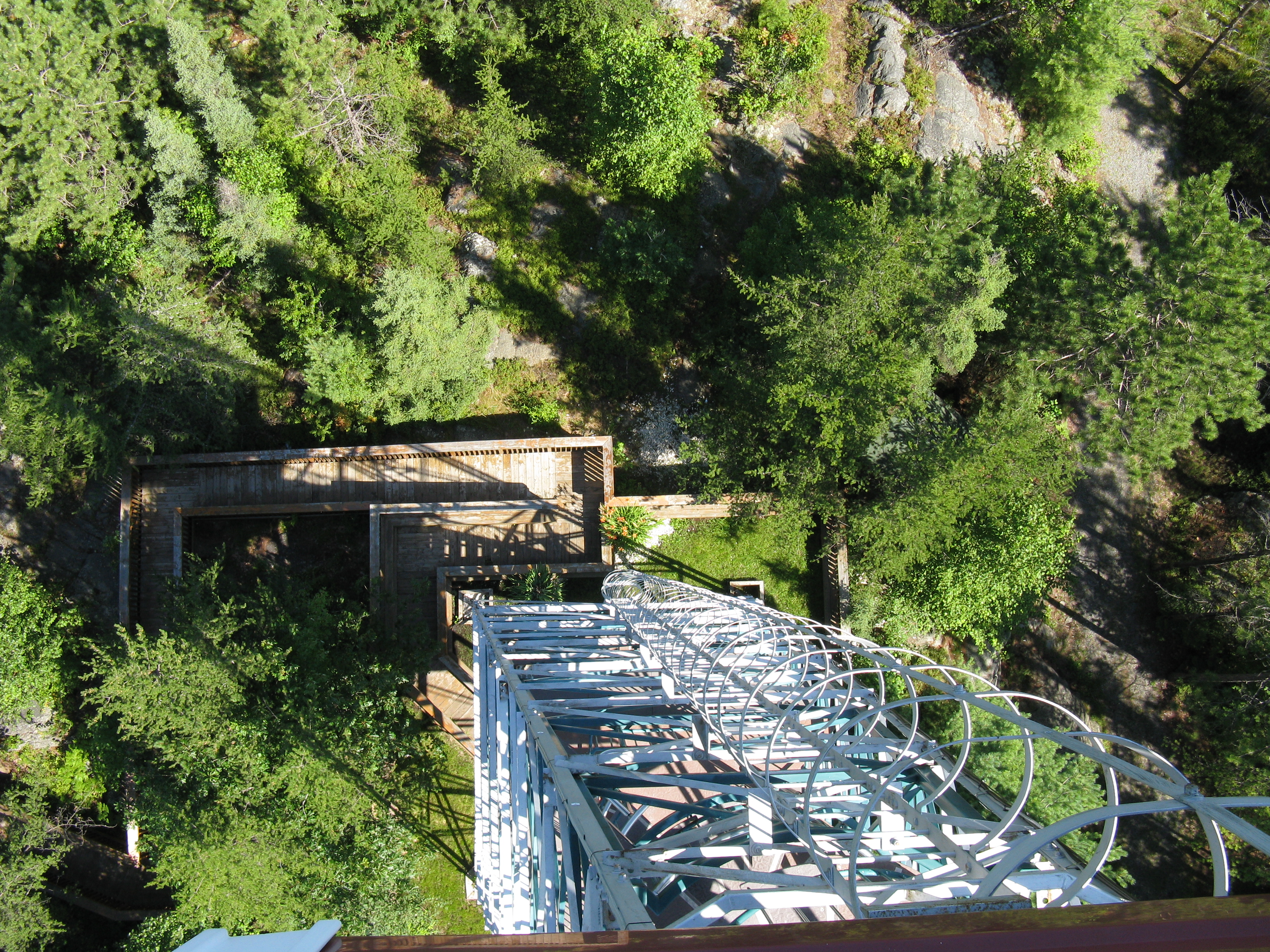
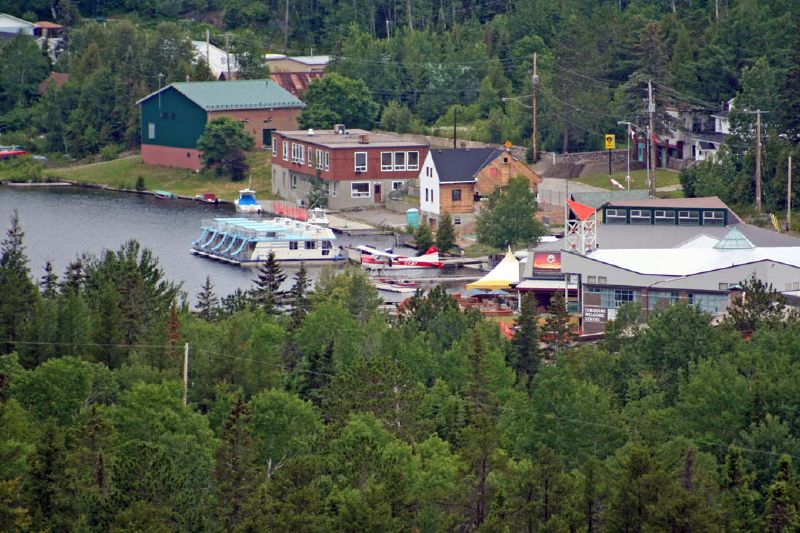
Temagami Fire Tower
View from the Temagami Fire Tower
A View from the Temagami Tower
A view from the Temagami Tower
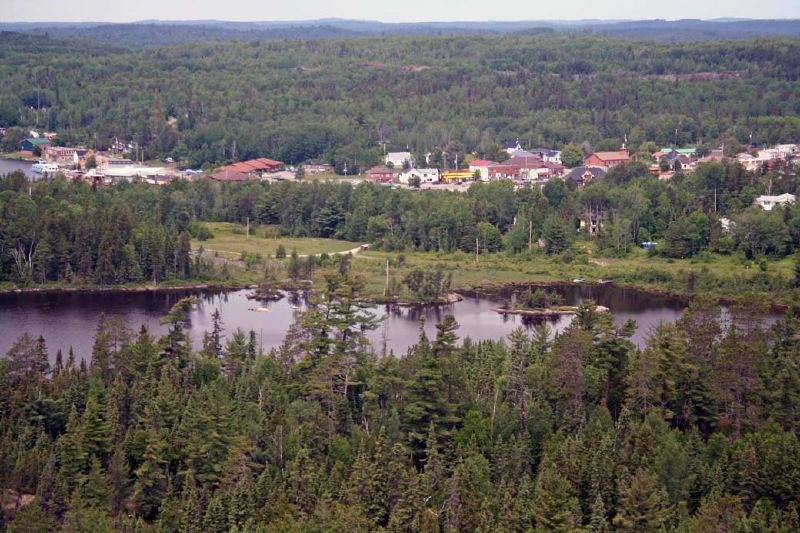
A View from the Temagami Tower
A view from the Temagami Tower
A view from the Temagami Tower

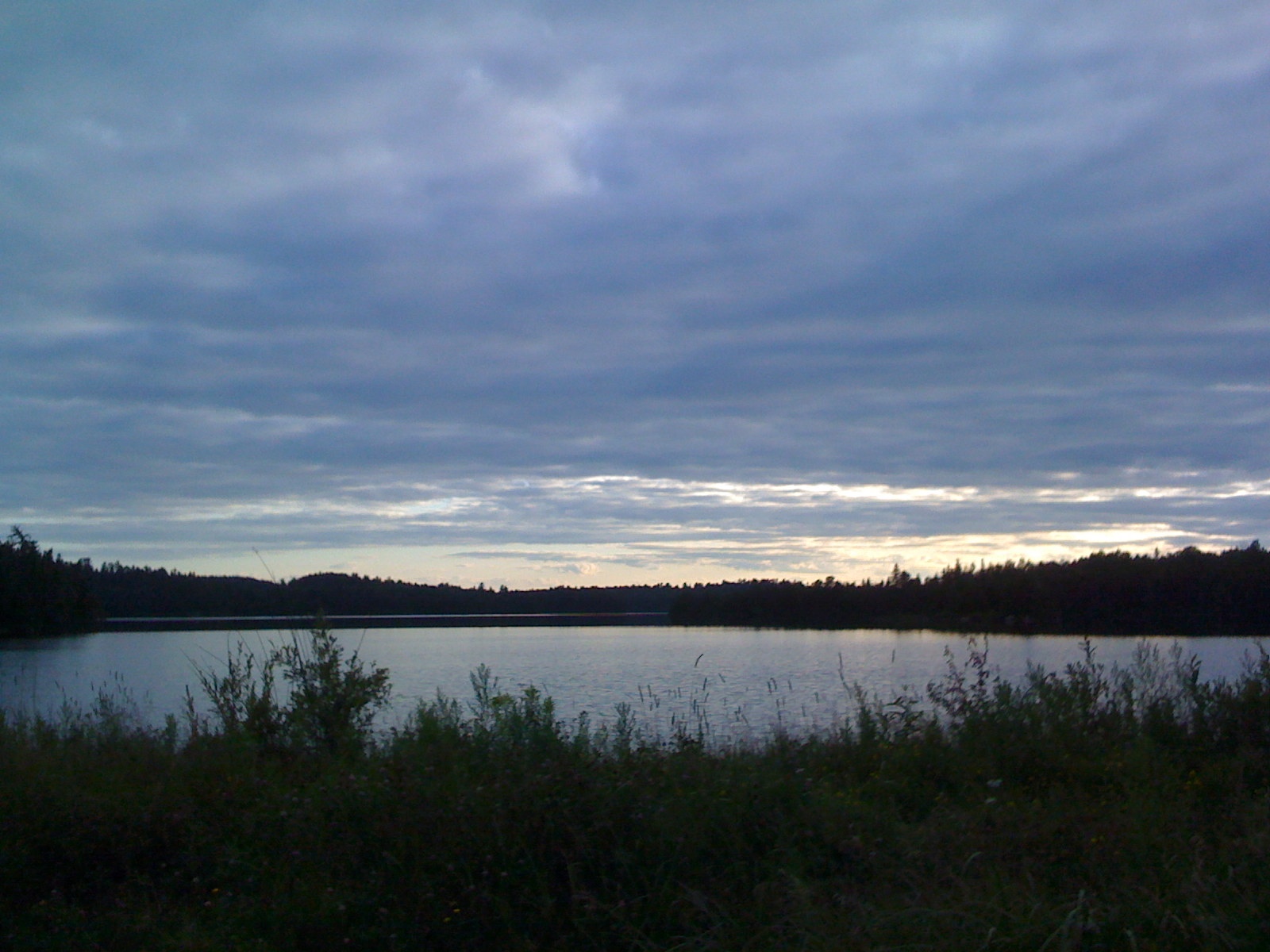
Foggy Days
Wasaksina waves
Sunset on Wasaksina Lake
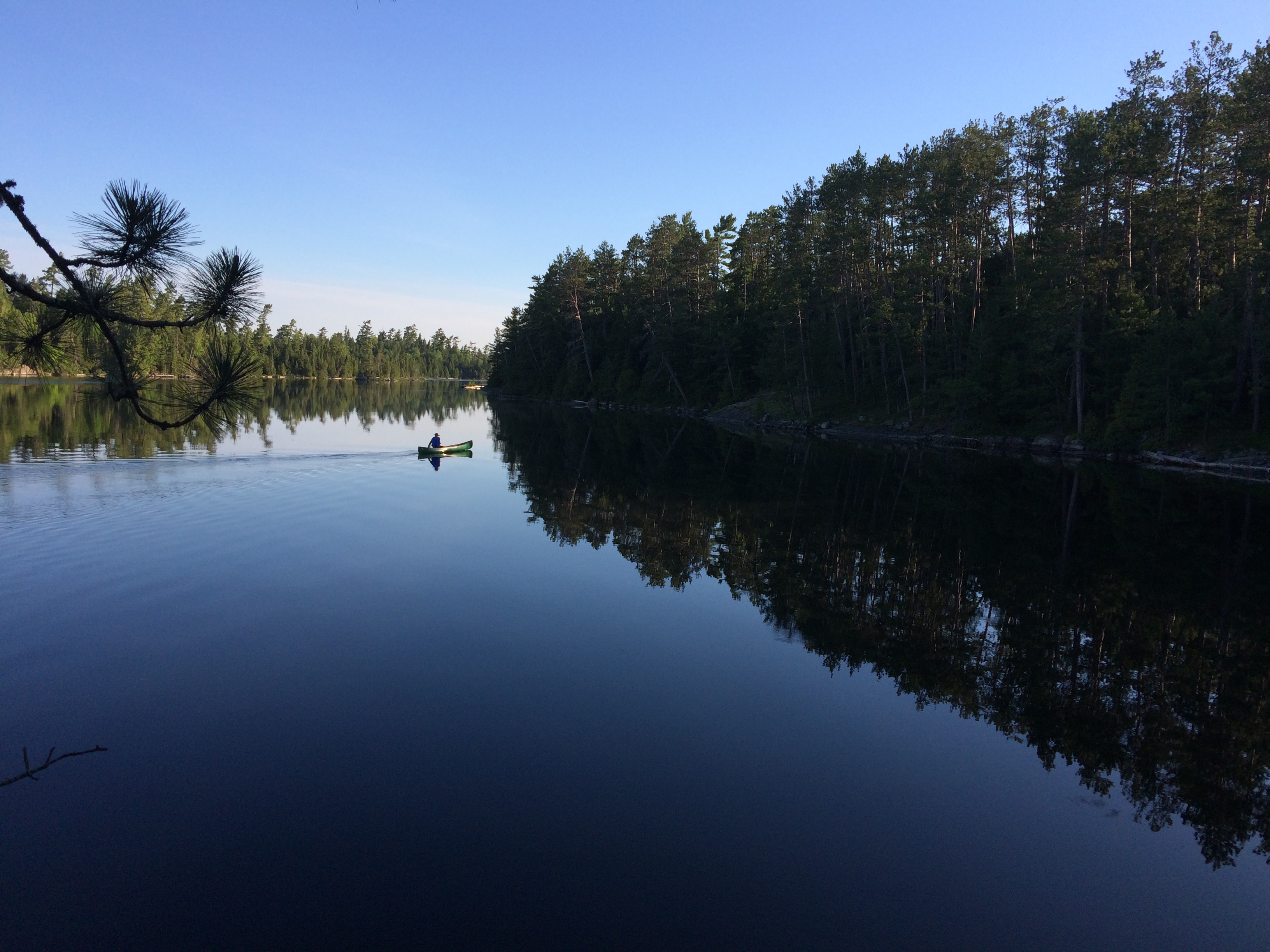
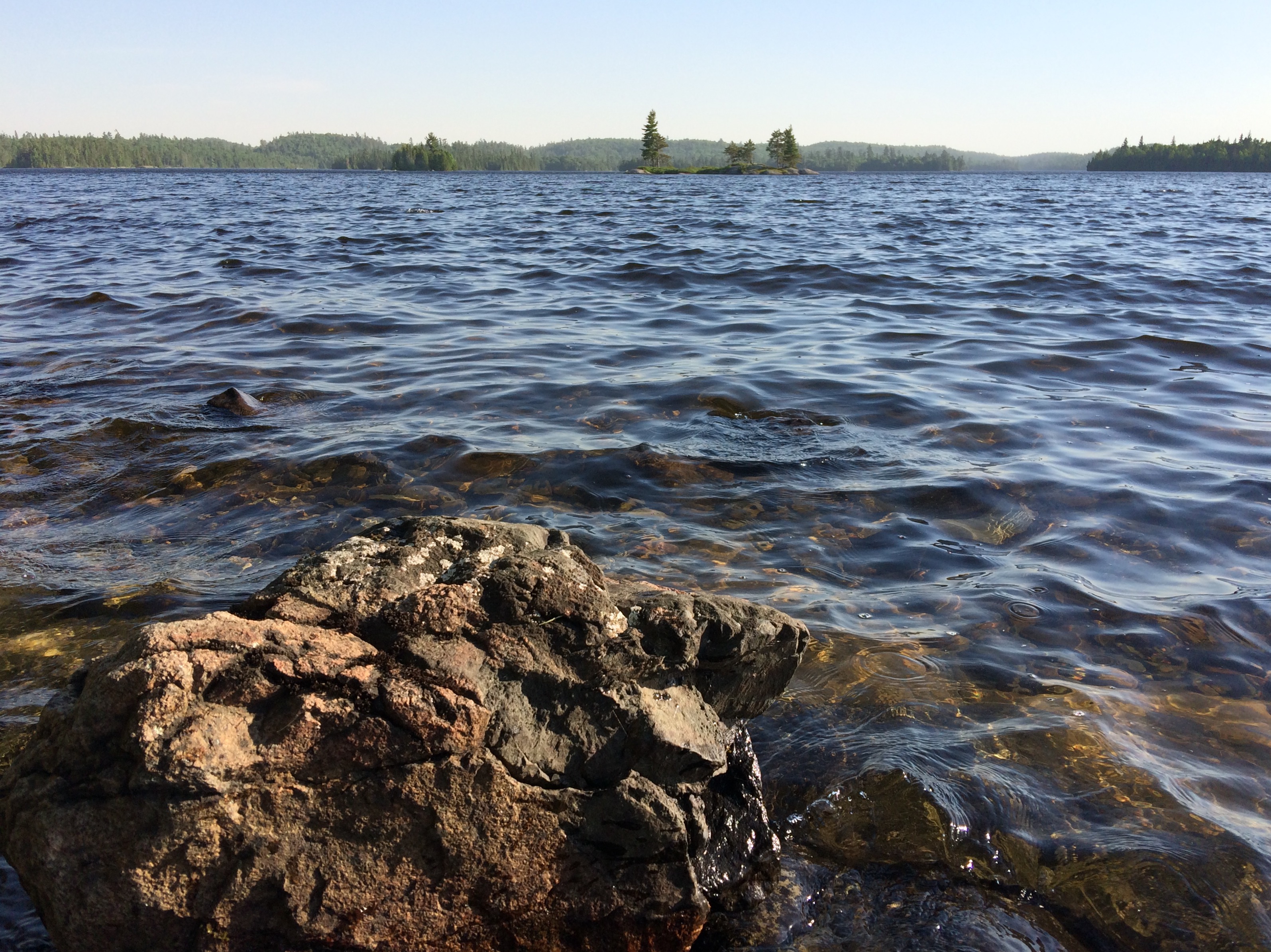
Early morning paddle
Standing out on the face...
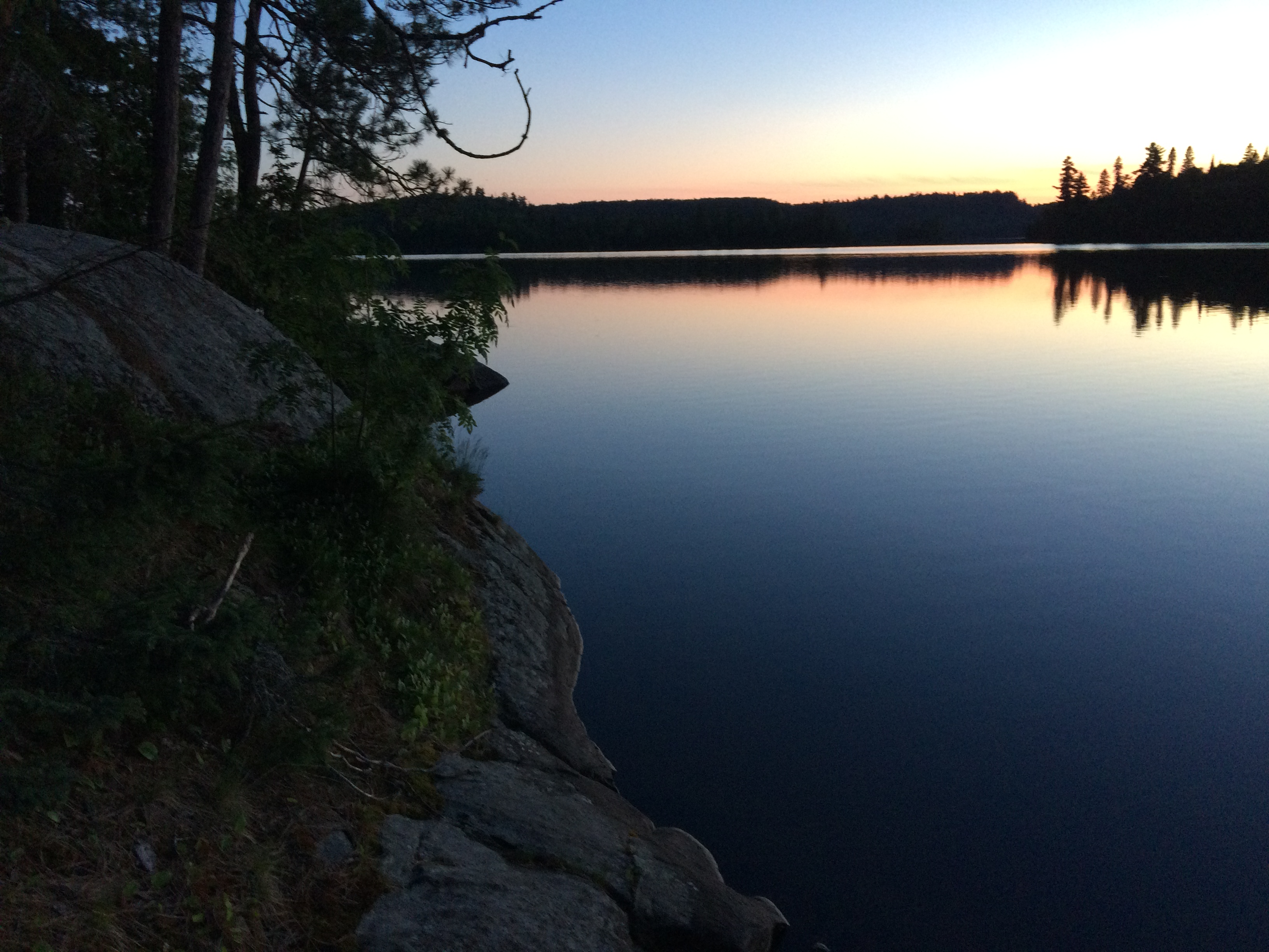
Sunset at Temagami North
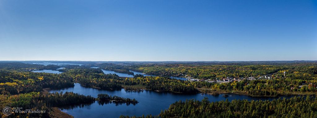
Lake Temagami Panorama
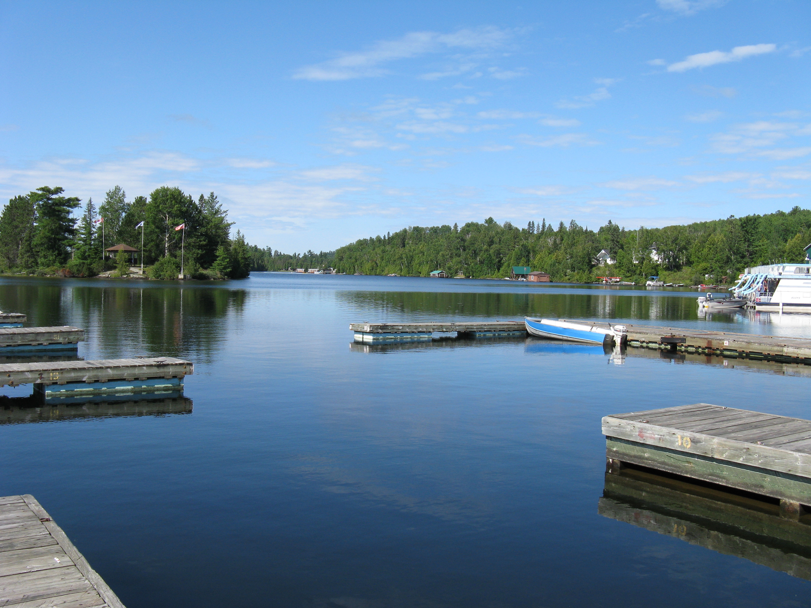
Lake Temagami
Lake Temagami
Topographic Map of Temagami, ON, Canada
Find elevation by address:

Places near Temagami, ON, Canada:
Coleman
Lorrain
Marten River
Cobalt
16 Ruby St
Lake Timiskaming
Chemin de la Pointe au Vin, Rouyn-Noranda, QC J0Z, Canada
Temiskaming Shores
Temiskaming Hospital
Ville-marie
New Liskeard
Duhamel-ouest
Duhamel-ouest
P0h
Dymond
Dymond
Tilden Lake
Nipissing, Unorganized, North Part
Thornloe
P0j 1s0
Recent Searches:
- Elevation of Spaceport America, Co Rd A, Truth or Consequences, NM, USA
- Elevation of Warwick, RI, USA
- Elevation of Fern Rd, Whitmore, CA, USA
- Elevation of 62 Abbey St, Marshfield, MA, USA
- Elevation of Fernwood, Bradenton, FL, USA
- Elevation of Felindre, Swansea SA5 7LU, UK
- Elevation of Leyte Industrial Development Estate, Isabel, Leyte, Philippines
- Elevation of W Granada St, Tampa, FL, USA
- Elevation of Pykes Down, Ivybridge PL21 0BY, UK
- Elevation of Jalan Senandin, Lutong, Miri, Sarawak, Malaysia