Elevation of Telšiai, Lithuania
Location: Lithuania > Telšiai County > Telšiai District Municipality >
Longitude: 22.2485535
Latitude: 55.9869779
Elevation: 140m / 459feet
Barometric Pressure: 100KPa
Elevation Map:
Satellite Map:
Related Photos:

Winter church
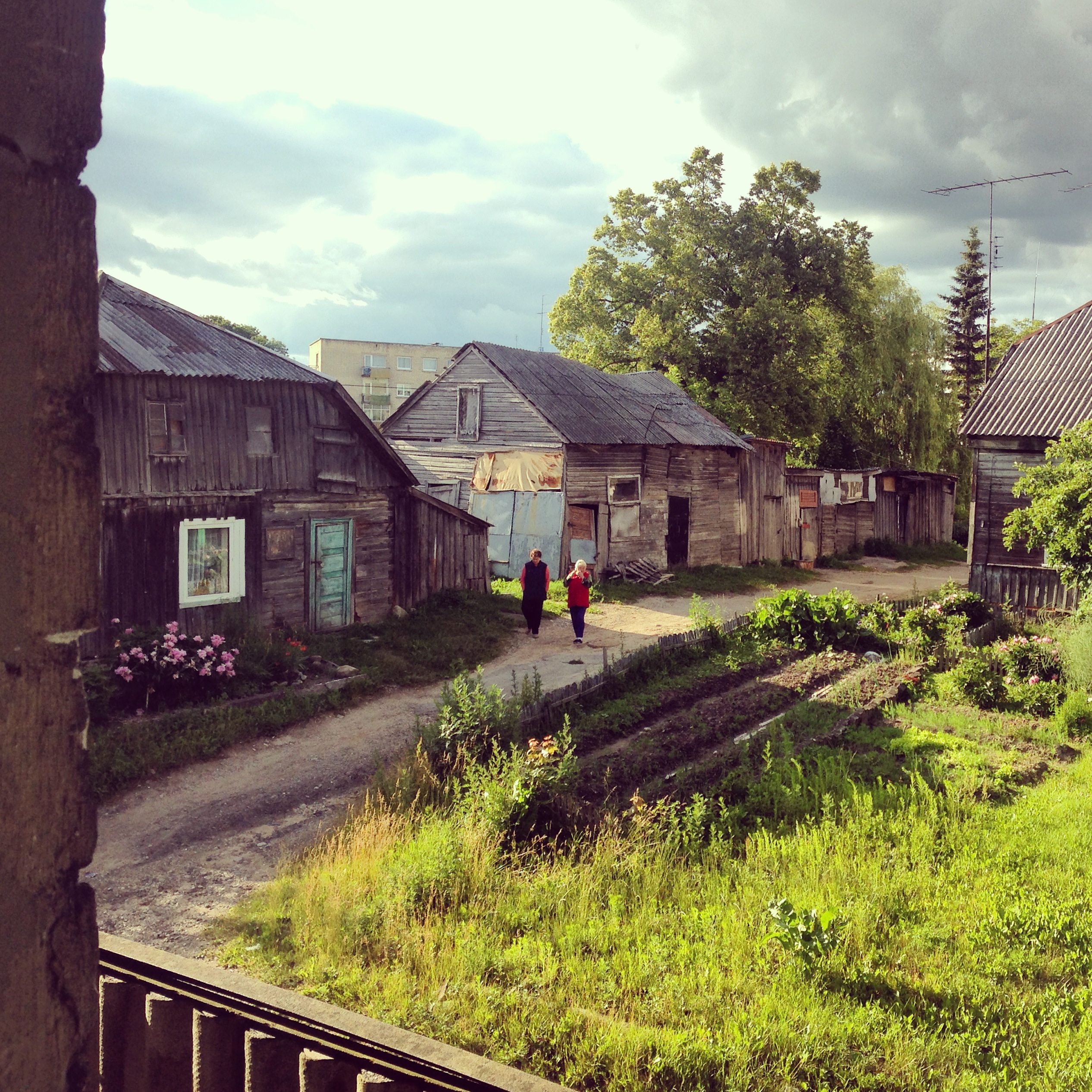
Telsiai: A View From The Window

Telsiai: A View Of The City
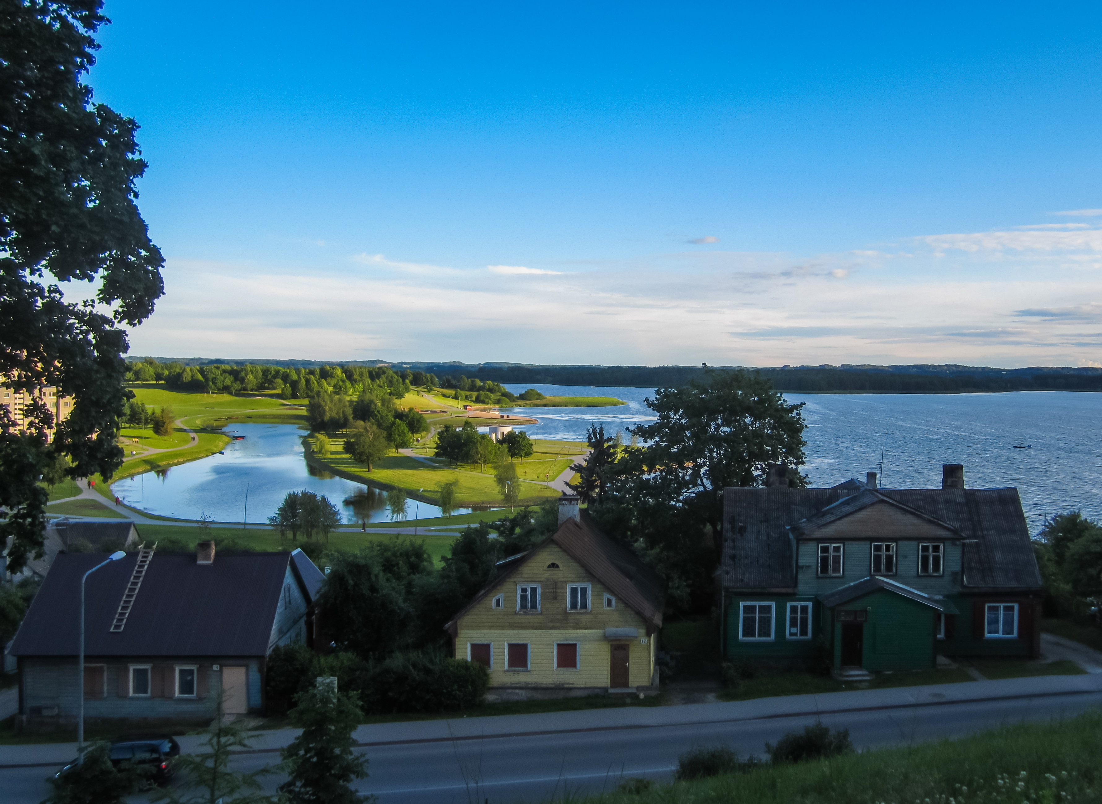
Telsiai: A View Of The City
Telsiai: A View Of The City
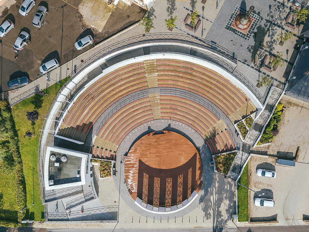
Telšiai amphitheater | Lithuania Aerial #256/365

IMG_4799 Laukstėnų ežeras

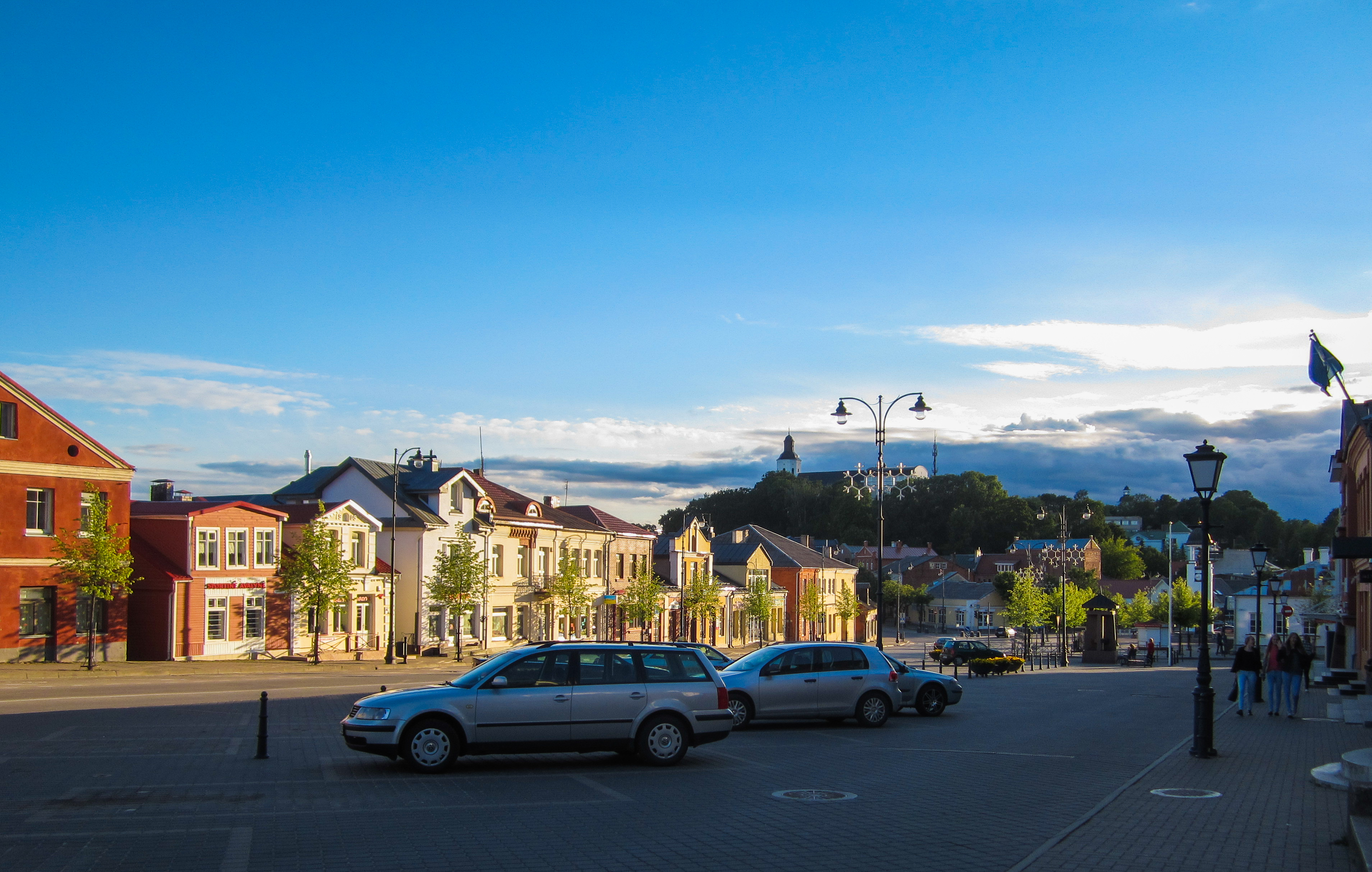
Telšiai

Telšiai

A Lithuanian landscape
Topographic Map of Telšiai, Lithuania
Find elevation by address:

Places near Telšiai, Lithuania:
Telšiai District Municipality
Telšiai County
Pavandenė
Plungė District Municipality
Plungė
Šilalė District Municipality
Skuodas District Municipality
Tauragė County
Tauragė District Municipality
Norkaičiai, Lithuania
Tauragė
Laukeliai
Vėžaičiai
Vezaiciai
14, Luknės, Lithuania
29, Pėžaičiai, Lithuania
Klaipėda District Municipality
Šilutė District Municipality
Gargždai
Kretinga District Municipality
Recent Searches:
- Elevation of Congressional Dr, Stevensville, MD, USA
- Elevation of Bellview Rd, McLean, VA, USA
- Elevation of Stage Island Rd, Chatham, MA, USA
- Elevation of Shibuya Scramble Crossing, 21 Udagawacho, Shibuya City, Tokyo -, Japan
- Elevation of Jadagoniai, Kaunas District Municipality, Lithuania
- Elevation of Pagonija rock, Kranto 7-oji g. 8"N, Kaunas, Lithuania
- Elevation of Co Rd 87, Jamestown, CO, USA
- Elevation of Tenjo, Cundinamarca, Colombia
- Elevation of Côte-des-Neiges, Montreal, QC H4A 3J6, Canada
- Elevation of Bobcat Dr, Helena, MT, USA