Elevation of Teakwood St, Hayward, CA, USA
Location: United States > California > Alameda County > Hayward > Longwood - Winton Grove >
Longitude: -122.11208
Latitude: 37.6582471
Elevation: 16m / 52feet
Barometric Pressure: 101KPa
Elevation Map:
Satellite Map:
Related Photos:
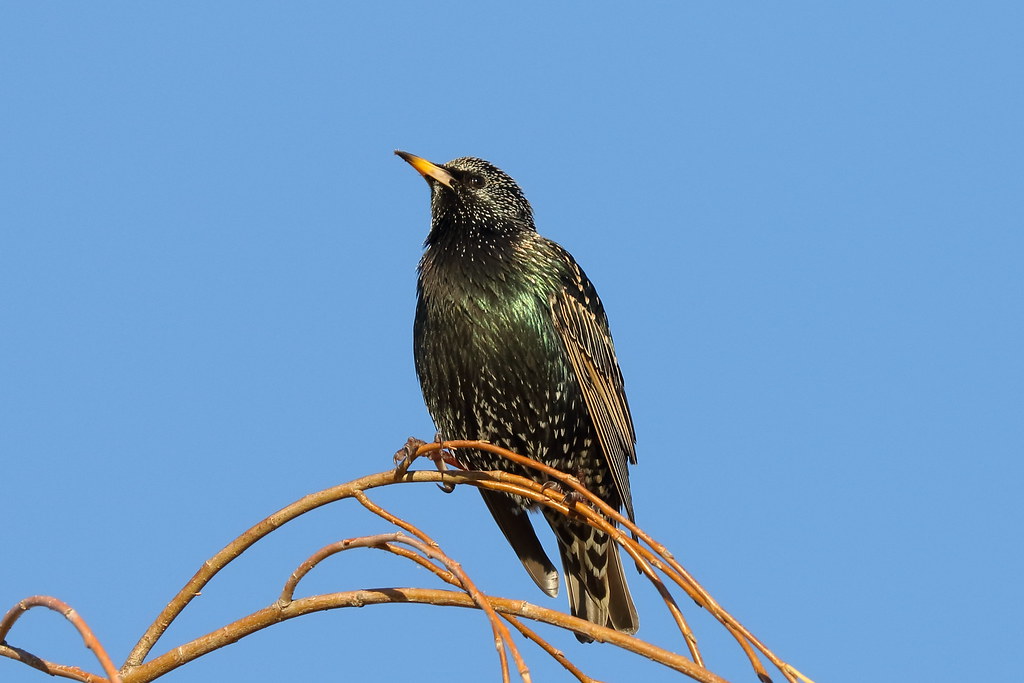
Common Starling / European Starling (Sturnus vulgaris) (adult) (sp. # 201)

'out of nowhere'

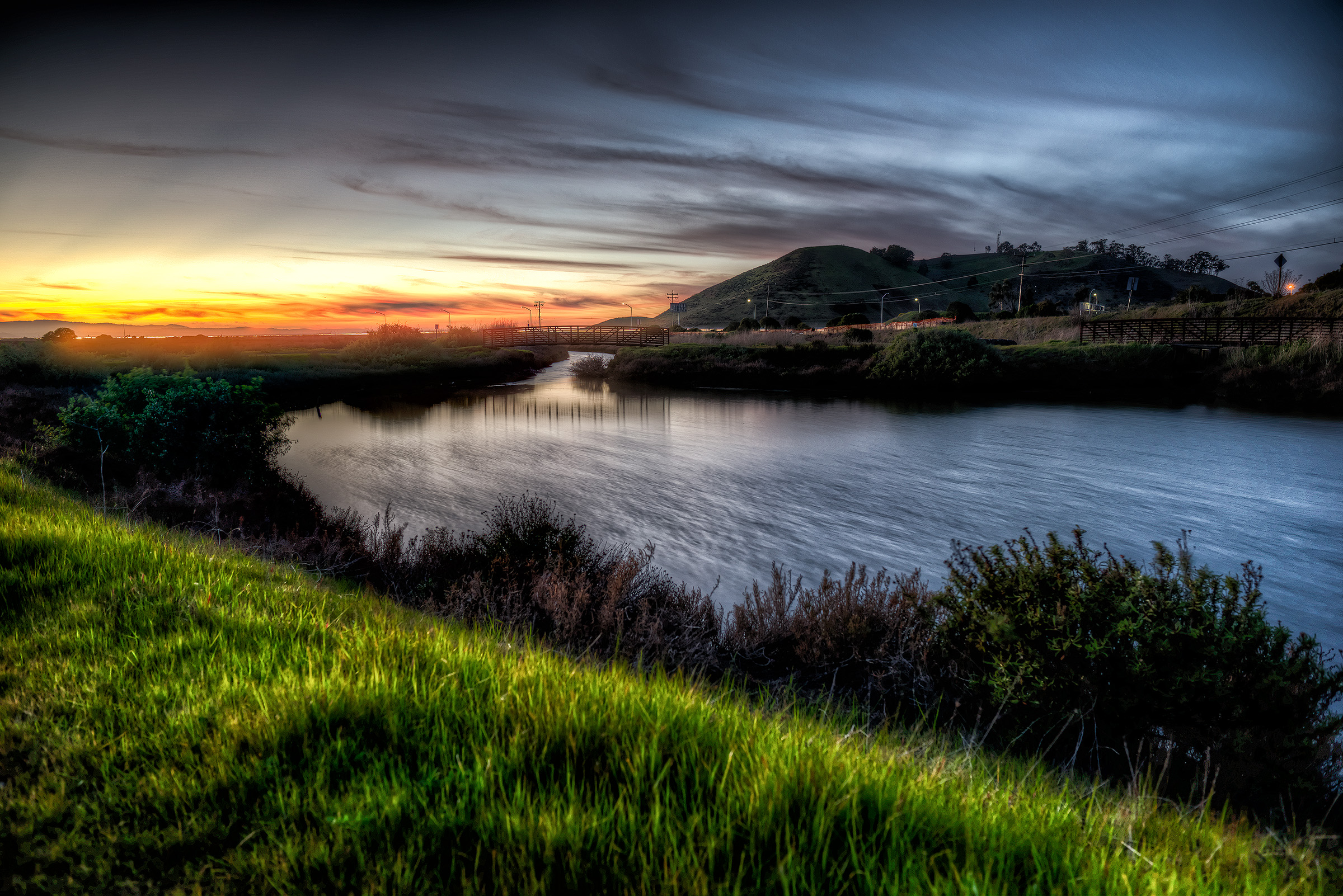
Air and water, charging on!

park and ride

Dumpster's Point of View
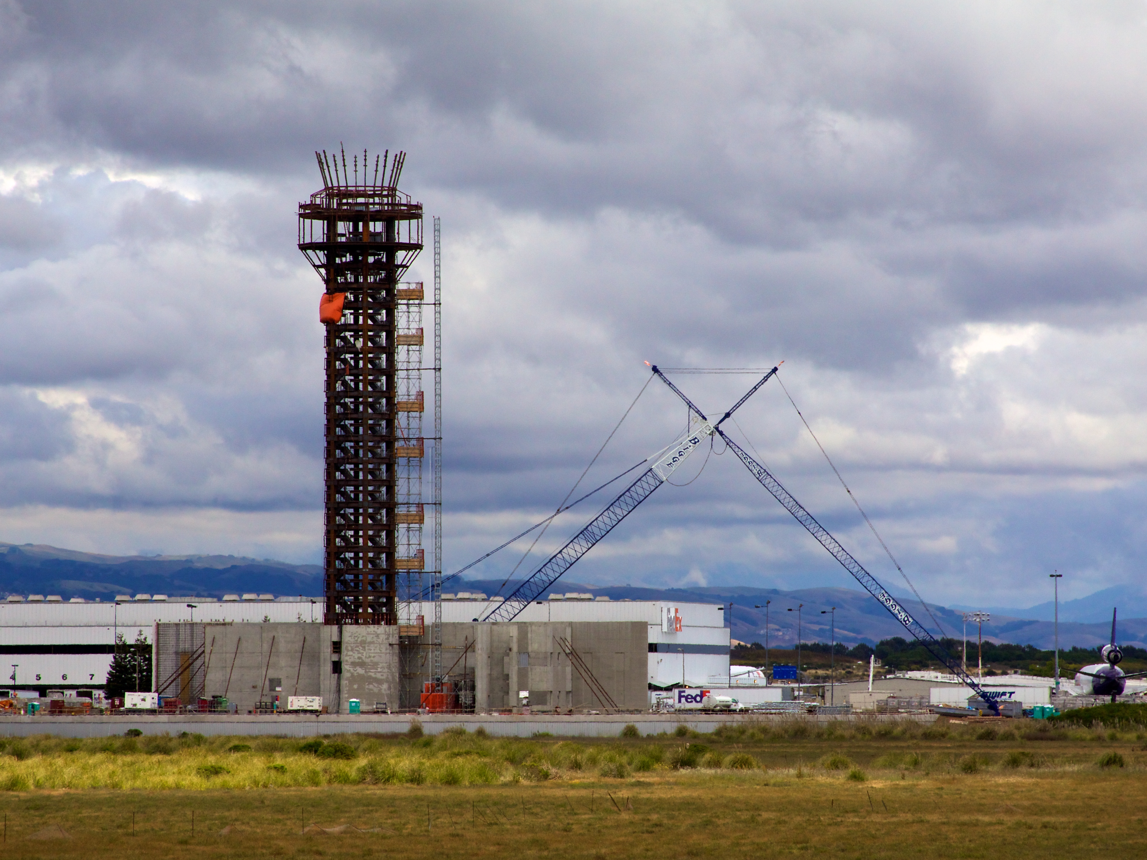
Oakland Tower

Vivid Whispers

Thru the Reeds

Poised for takeoff

5.3

DSC00001 - Version 2

Barn Swallow

Almost got it! ~ Cedar Waxwing (Bombycilla cedrorum)

In the middle of grass

The best place to admire the view of San Francisco.

I've been to

do you dare venture beyond?

Empty seats at the stadium

Fluorescein Dye
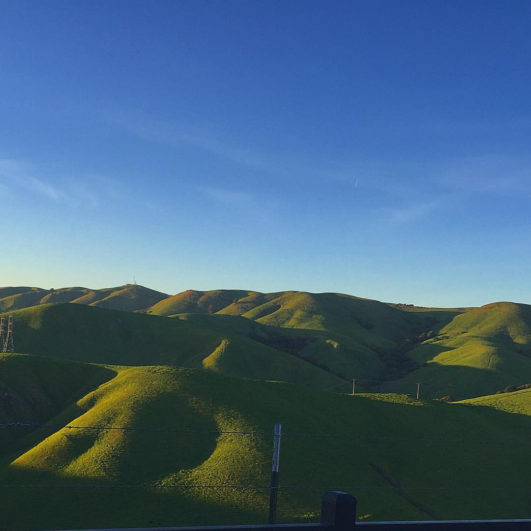
Golden Hills

View of our back door. Nice! #superwayaquarium #hayward #fishstore #stararts #mural #seaturtle #regal #underthesea

Allen's Hummingbird

Marsh Wren
2018-10-05_02-35-09

Night View of Tri-Valley
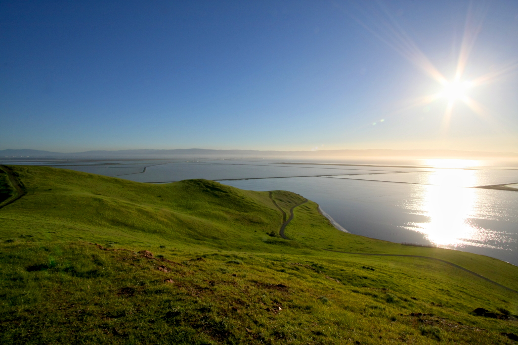
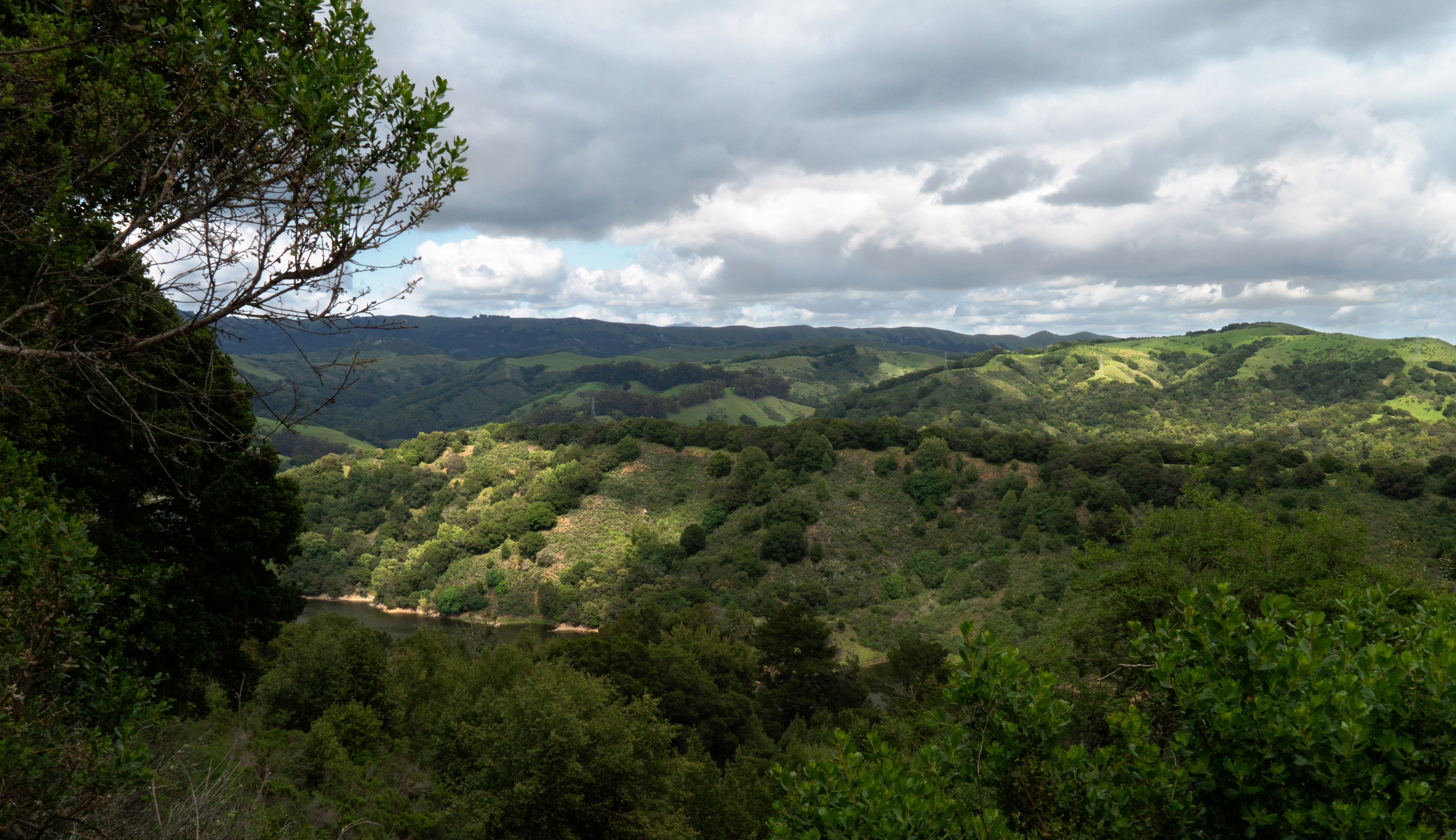
Lake Chabot

Garin Regional Park

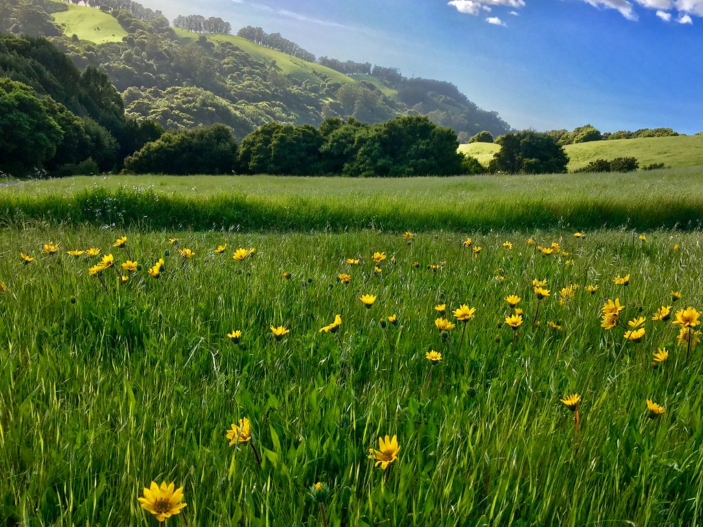
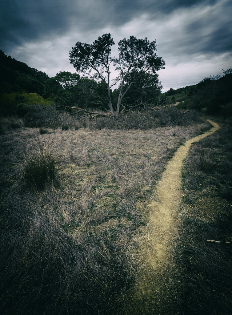
Trail to the Yellow Flowers
Something about these hills...remind me of Shrek.

Mustard field
Cotoye Hills Regional Park 11.jpg
A Candle Burns Brightest

Garin 20150227

No Name Trail
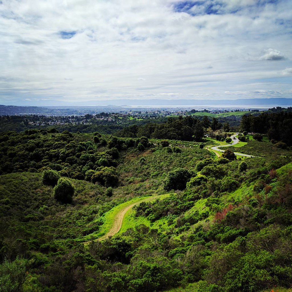
Grass Valley Trail
Chabot Park

Sunday's winding down.
While the Hills are Green!

Hello! I'm Western Meadowlark

#Barracks and #Hills. @#Batanes, #Philippines. #Landscape #Mountain #Sea.

Green Slopes

Spring. #california #eastbay #instanature #grass #weed #donedwards #rei1440project #neverstopexploring #hike #nofilter #goldenhour #sunset #skysnappers
Topographic Map of Teakwood St, Hayward, CA, USA
Find elevation by address:

Places near Teakwood St, Hayward, CA, USA:
Longwood - Winton Grove
500 Sequoia Rd
1764 National Ave
Mount Eden
24763 Kay Ave
Santa Clara
Hesperian Boulevard
West Jackson Street
2383 Cryer St
The Timbers Apartments
300 Jackson St
East Jackson Street
2671 Darwin St
24986 Silverthorne Pl
26507 Flamingo Ave
Leeward Street
Jackson Triangle
25449 Huntwood Ave
25429 Huntwood Ave
26415 Corporate Ave
Recent Searches:
- Elevation of Dog Leg Dr, Minden, NV, USA
- Elevation of Dog Leg Dr, Minden, NV, USA
- Elevation of Kambingan Sa Pansol Atbp., Purok 7 Pansol, Candaba, Pampanga, Philippines
- Elevation of Pinewood Dr, New Bern, NC, USA
- Elevation of Mountain View, CA, USA
- Elevation of Foligno, Province of Perugia, Italy
- Elevation of Blauwestad, Netherlands
- Elevation of Bella Terra Blvd, Estero, FL, USA
- Elevation of Estates Loop, Priest River, ID, USA
- Elevation of Woodland Oak Pl, Thousand Oaks, CA, USA