Elevation of Tazewell County, IL, USA
Location: United States > Illinois >
Longitude: -89.474217
Latitude: 40.5522078
Elevation: 200m / 656feet
Barometric Pressure: 99KPa
Elevation Map:
Satellite Map:
Related Photos:
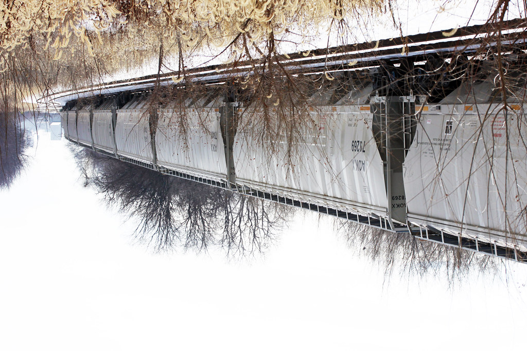
Elevated Train Sky View 01172015

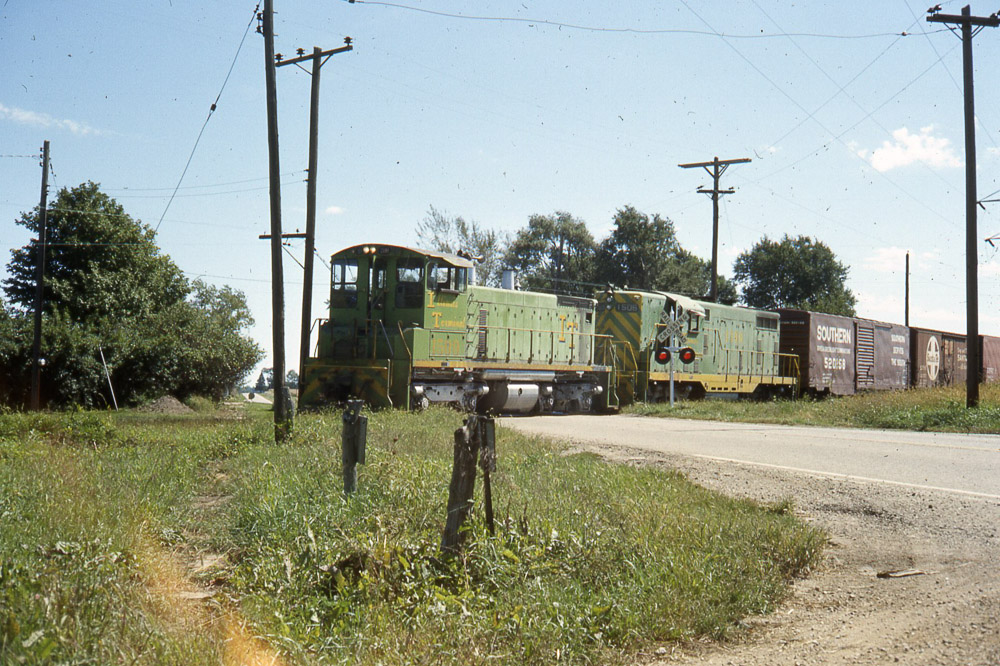
TP&W 1000 and Friends

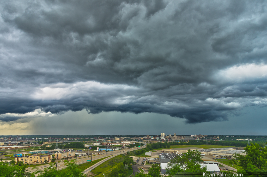
the Big Picture
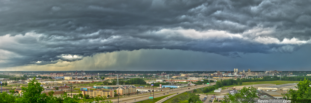
Approaching Peoria
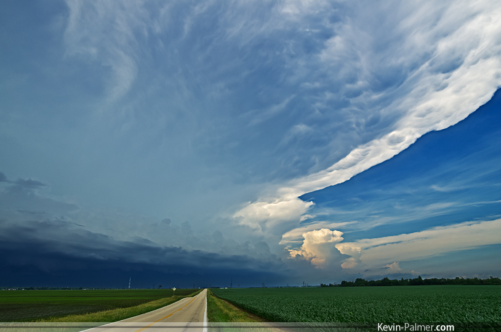
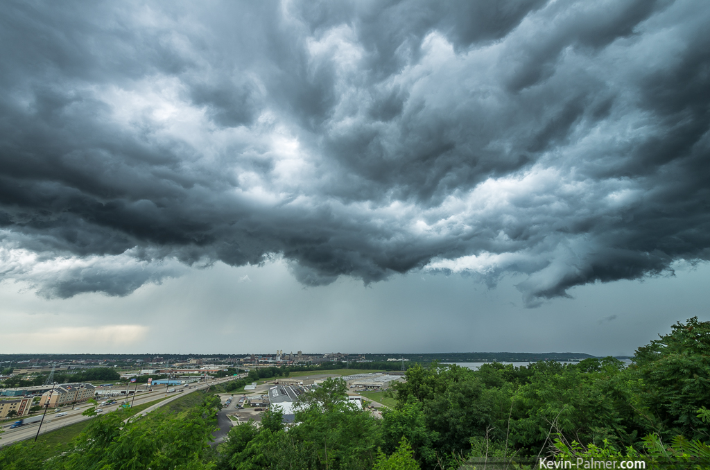
Distant Rain

Missing the view to capture it...
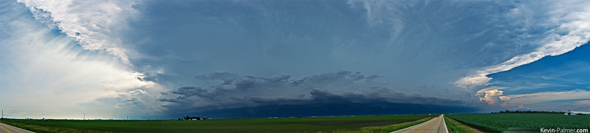
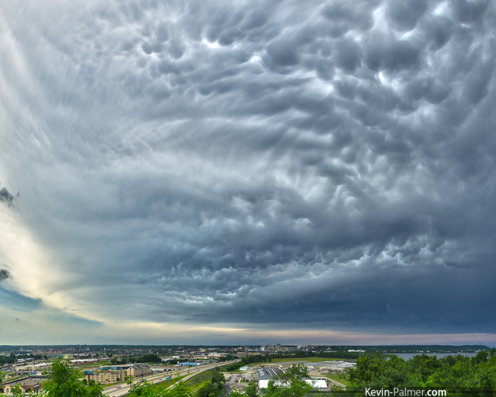
Morton Thunderhead Panorama
Twilight From the Dam
Illinois Terminal SW1500 #1509 at Allentown, IL 9-11-77
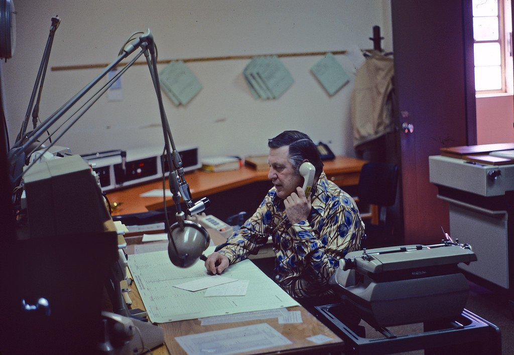
TP&W Chief Dispatcher
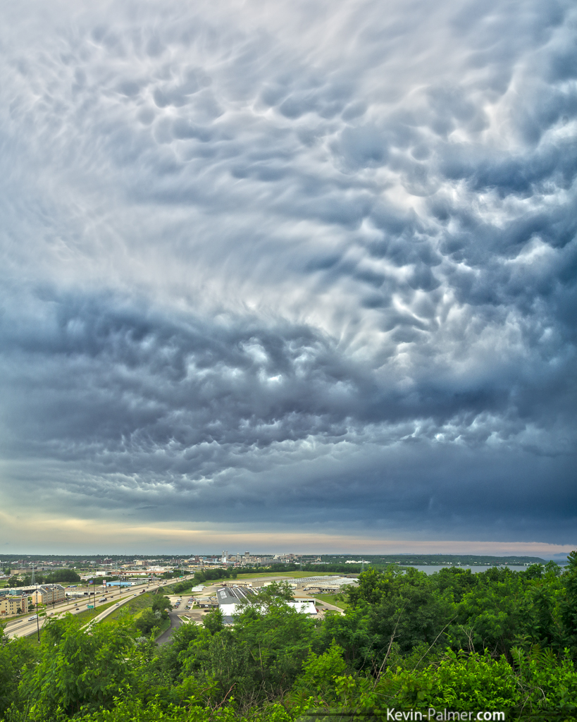
Morton Thunderhead
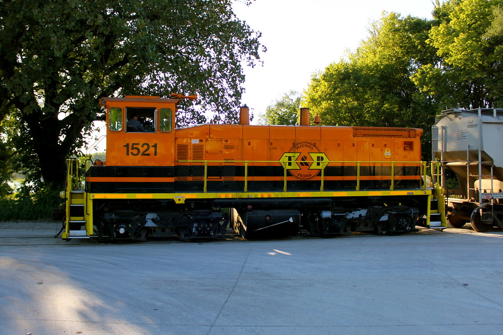
Tazewell & Peoria Profile
Cool Breeze

TP&W GP38-2 #2004 in East Peoria IL on 5/23/83
Turbulant Sky
Under an Anvil
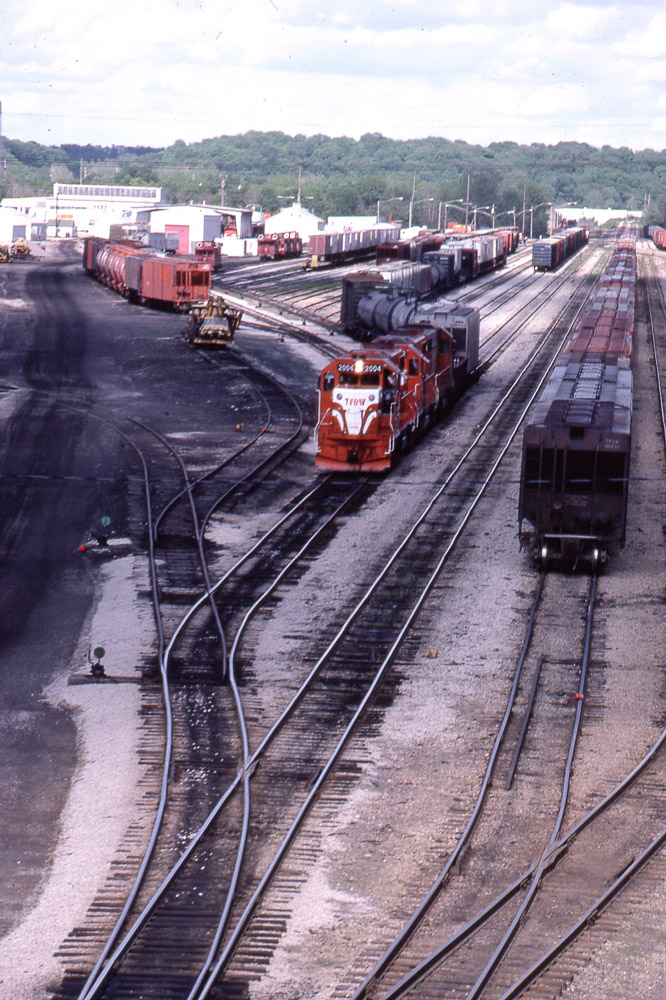
TP&W GP38-2 #2004 in East Peoria IL on 5/23/83

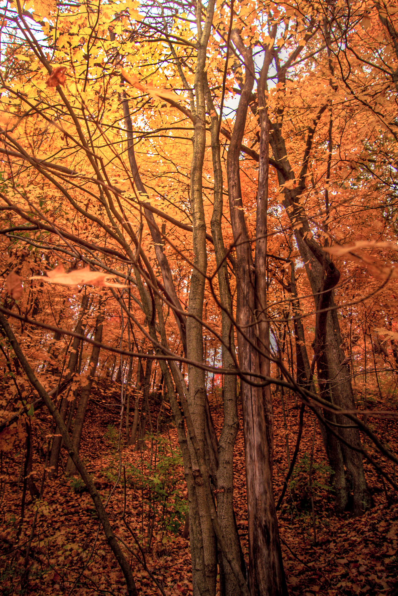
The Tree 10
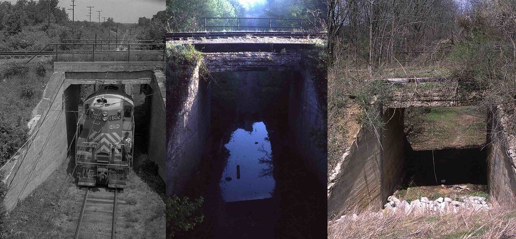
Illinois Terminal "Subway" at Mackinaw, Illinois
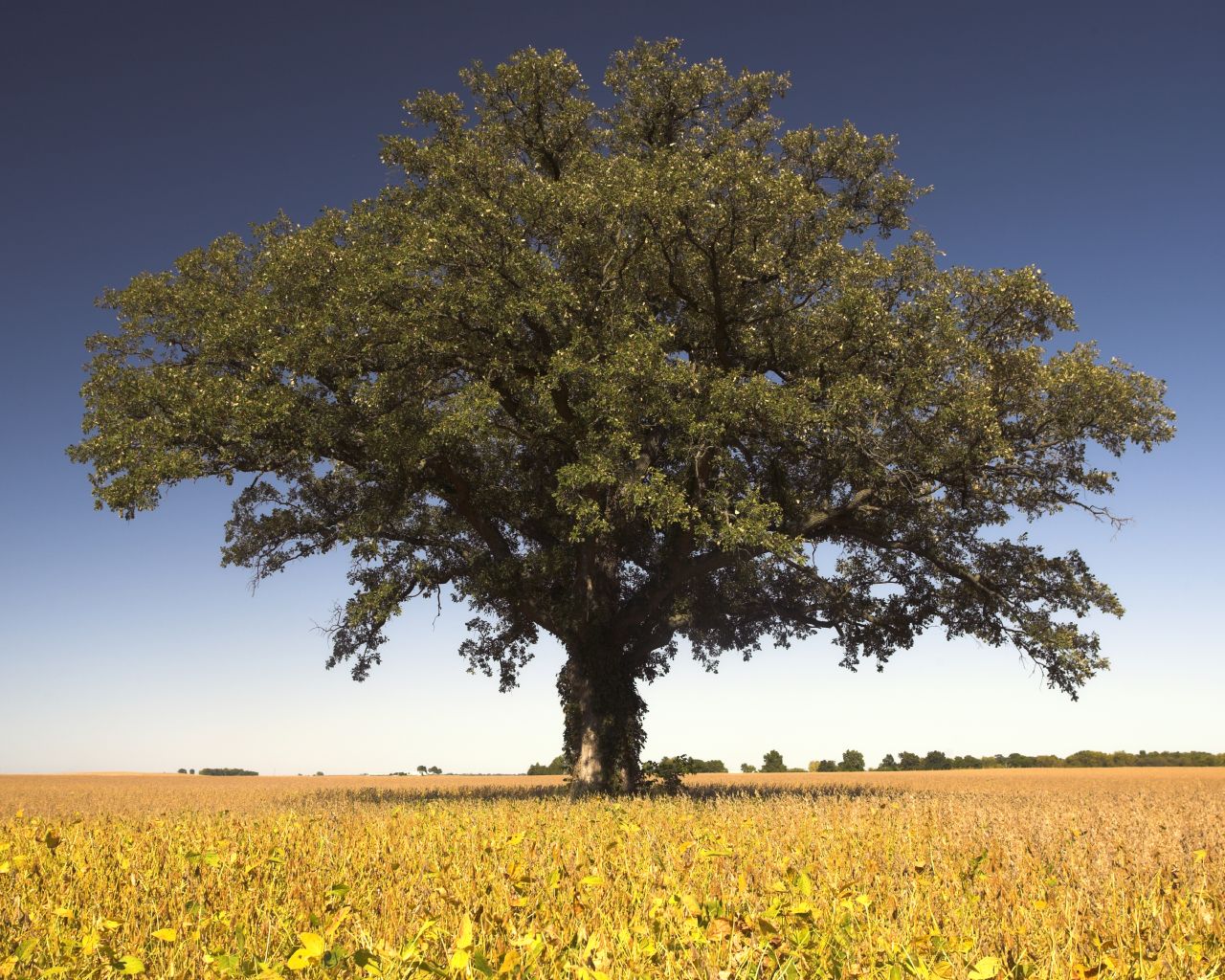
The Tree 42
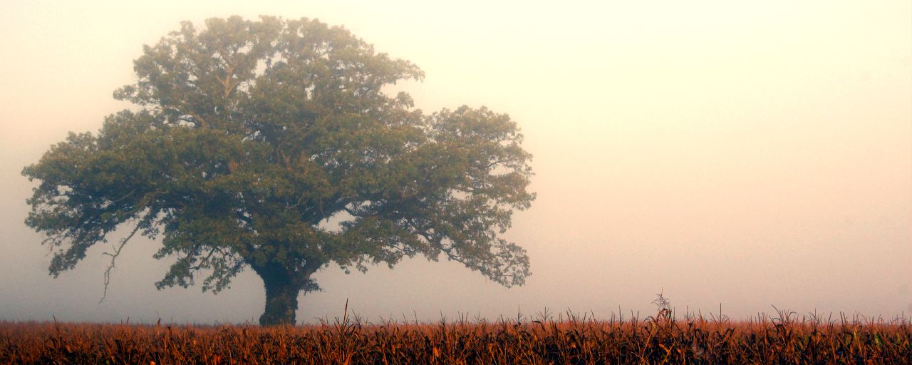
The Tree 34
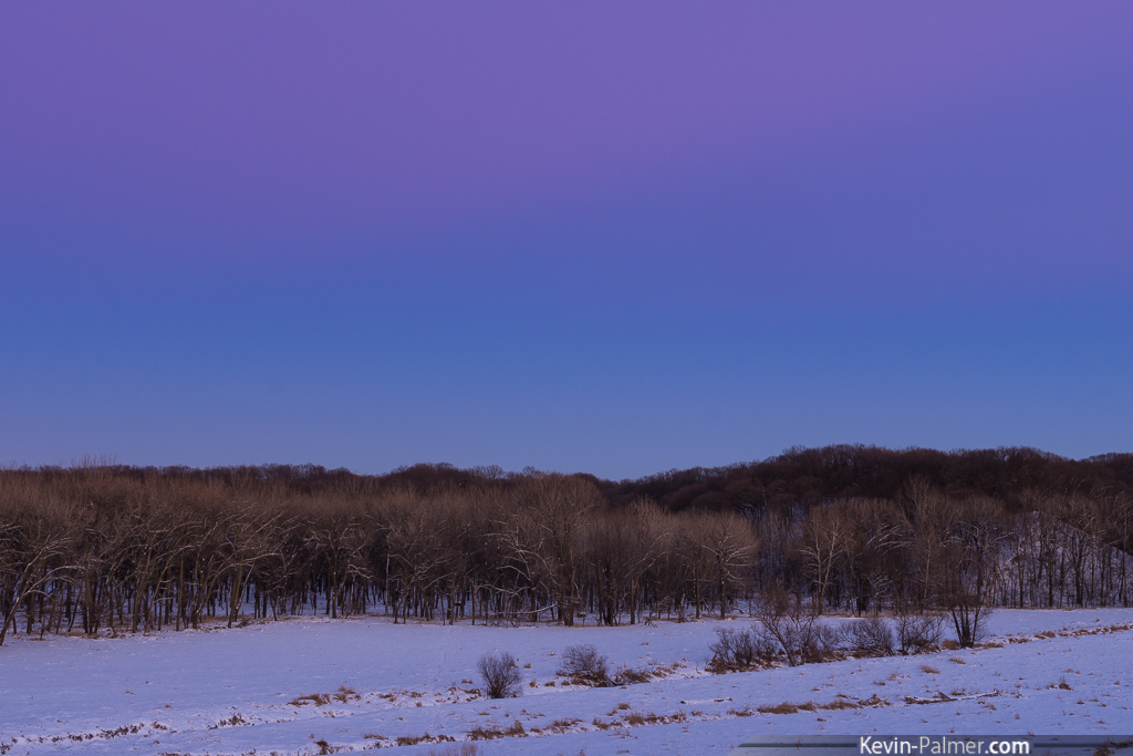
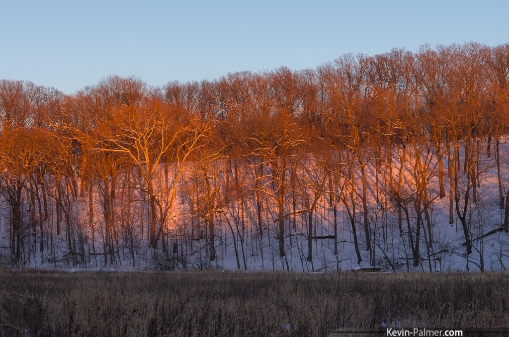
It's Winter
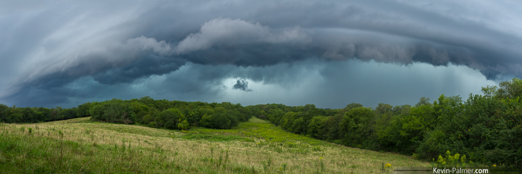
Mackinaw Storm Panorama
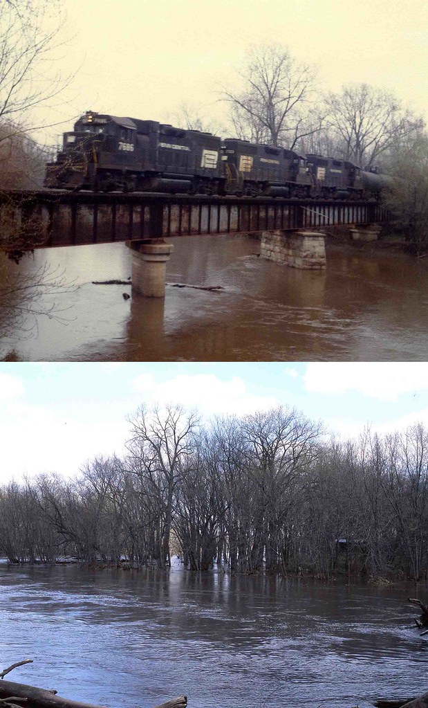
Penn Central #7686 Mackinaw, Illinois

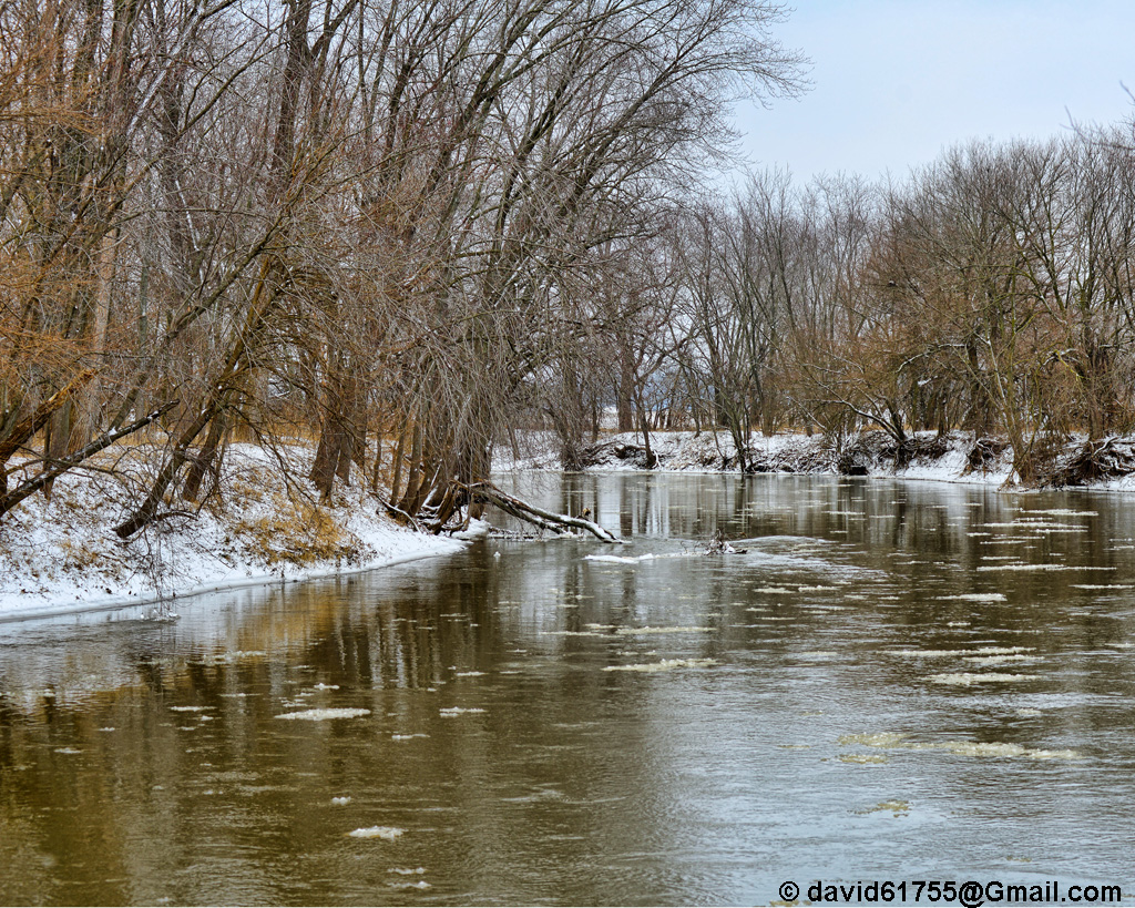
Mackinaw River in Winter
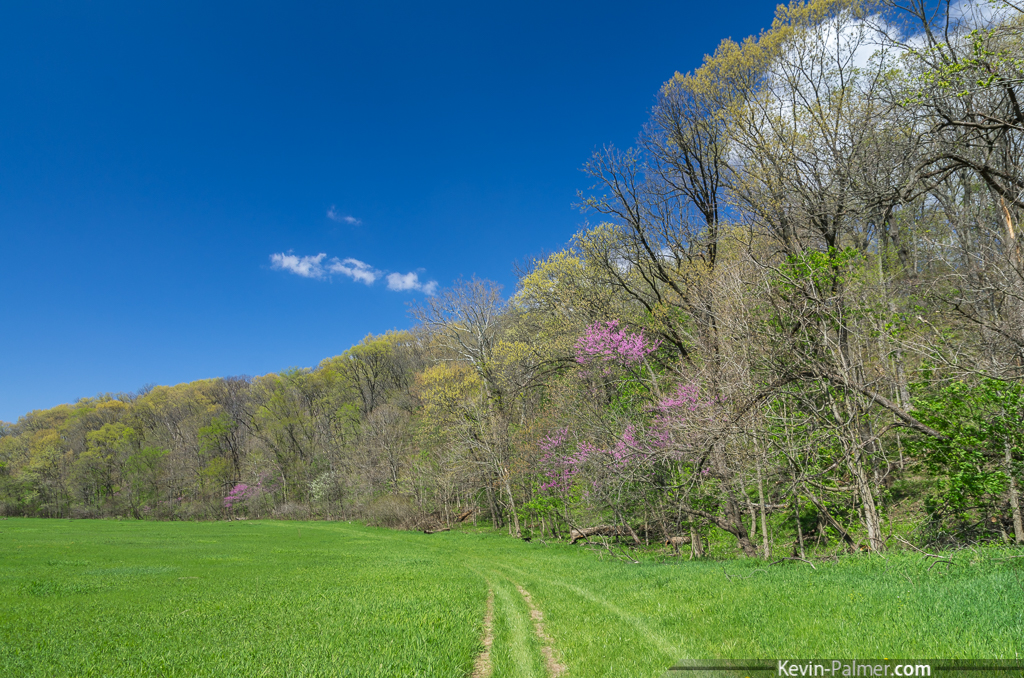
Spring Green

Nitrogen Enriched
gldnsn_pregamma_1_fattal_alpha_1_beta_0.8_saturation_0.9_noiseredux_0_fftsolver_1-1-1-2

Mackinaw River with Ice

Farmdale Meadow
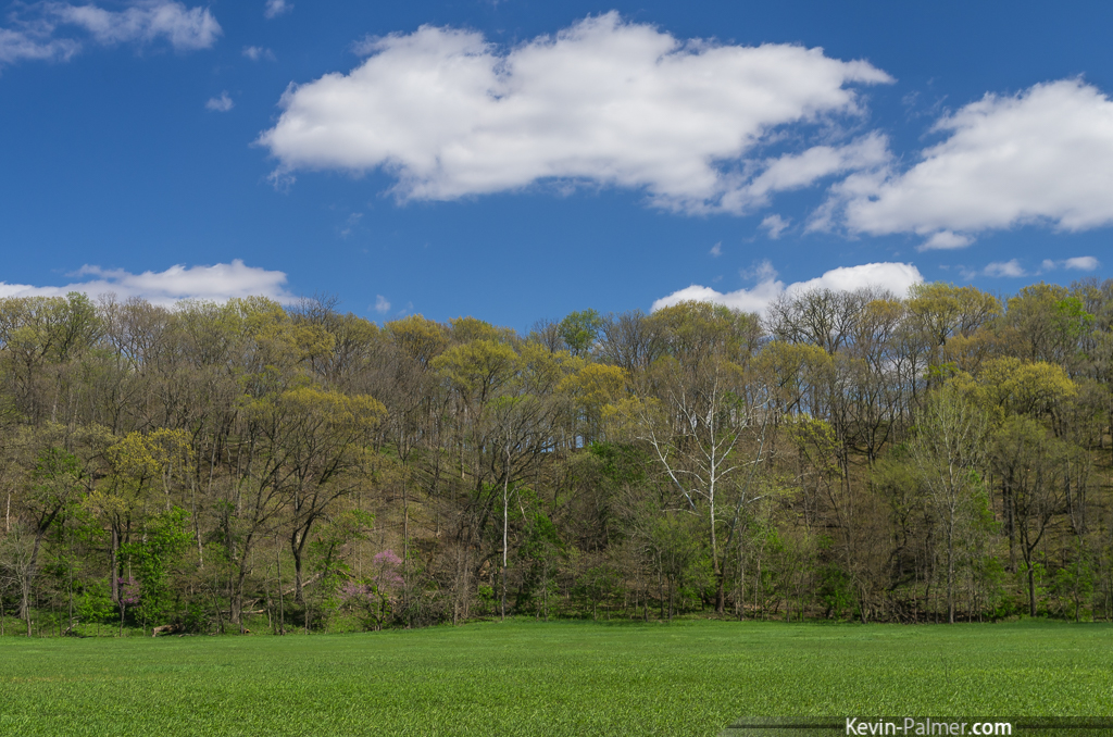
Farmdale Hills
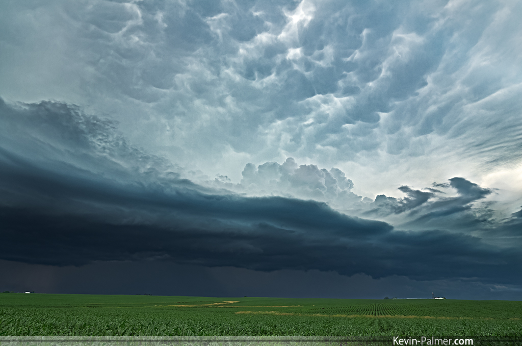
Dark Shelf
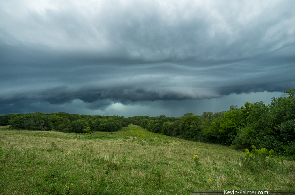
Take Shelter

Tazewell Storm
Crimson Snow

Three Red barns

The Eve of the Ides of March
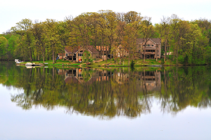
Heritage Lake, Mackinaw, Illinois, USA
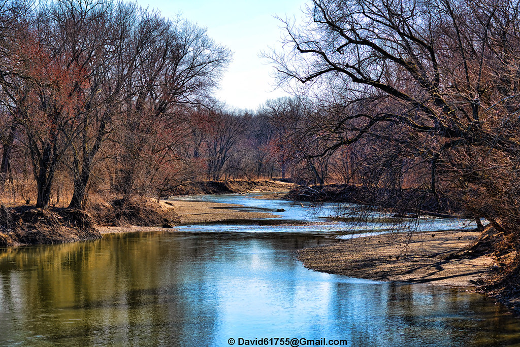
Mackinaw River
240/365
Topographic Map of Tazewell County, IL, USA
Find elevation by address:

Places in Tazewell County, IL, USA:
Groveland Township
Washington Township
Morton Township
Pekin Township
Little Mackinaw Township
Deer Creek Township
Mackinaw Township
Tremont Township
Sand Prairie Township
Boynton Township
Dillon Township
Delavan Township
Spring Lake Township
1st St, Pekin, IL, USA
E Manito Rd, Pekin, IL, USA
Fondulac Township
Elm Grove Township
Cincinnati Township
Places near Tazewell County, IL, USA:
Tremont Township
209 N Locust St
W Pearl St, Tremont, IL, USA
Tremont
26944 Broadway Rd
1227 Waterford Dr
312 E Fernwood St
Washington St, Groveland, IL, USA
Uhlman Rd, Tremont, IL, USA
Bessler Lake Dr, Groveland, IL, USA
11286 Benson Rd
4214 Sheridan Rd
Elm Grove Township
Peach St, Tremont, IL, USA
Dillon Township
Mackinaw
S Orchard St, Mackinaw, IL, USA
Entrance Dr, Pekin, IL, USA
Mackinaw Township
Sunset Hills Golf Course
Recent Searches:
- Elevation of Corso Fratelli Cairoli, 35, Macerata MC, Italy
- Elevation of Tallevast Rd, Sarasota, FL, USA
- Elevation of 4th St E, Sonoma, CA, USA
- Elevation of Black Hollow Rd, Pennsdale, PA, USA
- Elevation of Oakland Ave, Williamsport, PA, USA
- Elevation of Pedrógão Grande, Portugal
- Elevation of Klee Dr, Martinsburg, WV, USA
- Elevation of Via Roma, Pieranica CR, Italy
- Elevation of Tavkvetili Mountain, Georgia
- Elevation of Hartfords Bluff Cir, Mt Pleasant, SC, USA