Elevation of Taylor Trail, Colorado, USA
Location: United States > Colorado > Cañon City >
Longitude: -105.50678
Latitude: 38.6318441
Elevation: 2534m / 8314feet
Barometric Pressure: 74KPa
Elevation Map:
Satellite Map:
Related Photos:
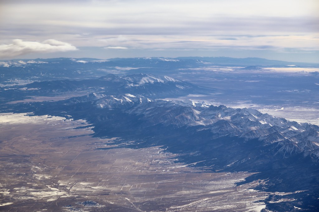
Sangre de Cristo Range and the Rocky Mountains
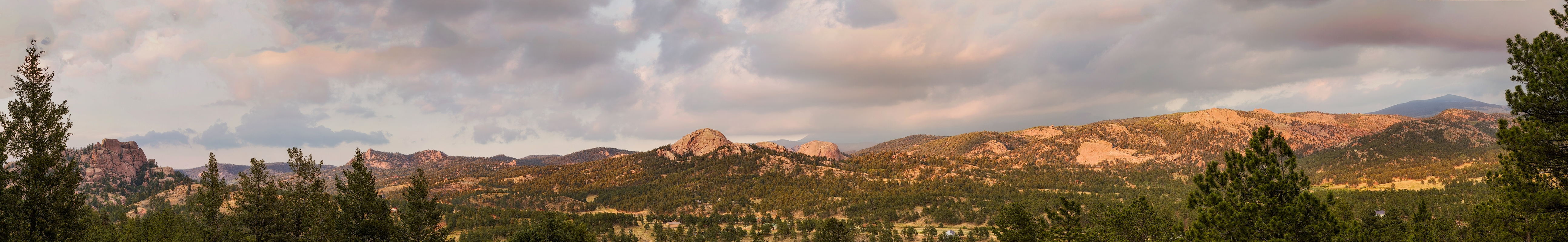
IMG_7109-Edit-Pano.jpg

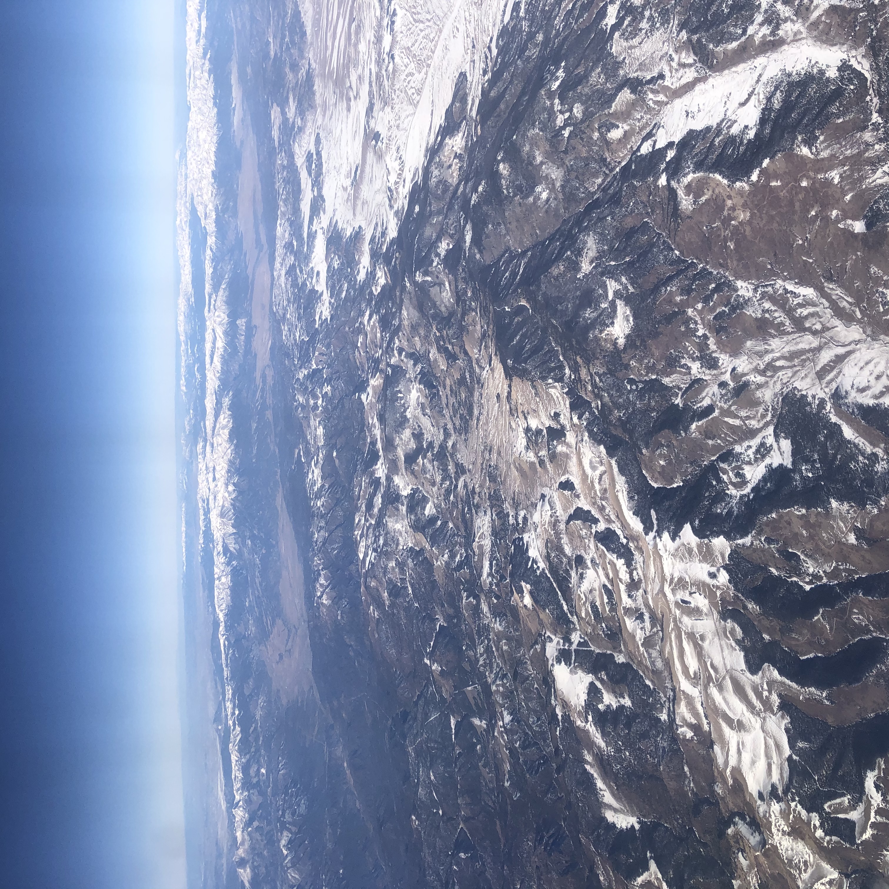
Viewing Colorado

Horse Shoe Bend, au bord du Colorado, à Page (près du lac Powell), États-Unis

20140601-IMG_3560.jpg

On the Way to Canyon City
Colorado Fall 2019
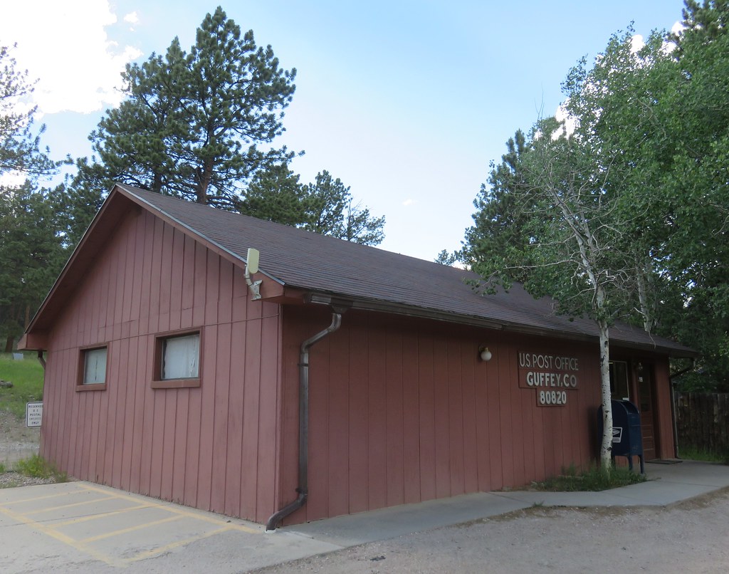
Post Office 80820 (Guffey, Colorado)

Ghost Town, Guffey, Colorado

Flying over Denver.

Star Trek the B4 shot
Topographic Map of Taylor Trail, Colorado, USA
Find elevation by address:

Places near Taylor Trail, Colorado, USA:
Taylor Trail
Taylor Trail
1203 Taylor Trail
Delilah Peak
1146 Taylor Trail
North Fork
479 Canterbury Ct
620 Skyview Rd
3535 Delilah Dr
2073 Chris Crossover
Chris Crossover
866 Rosebush Rd
481 Coyote Trail
Vista View Road
Vista View Road
480 Rosebush Rd
Water On The Spot
662 Wapiti Trail
1169 Co Rd 26
662 Wapiti Trail
Recent Searches:
- Elevation of Congressional Dr, Stevensville, MD, USA
- Elevation of Bellview Rd, McLean, VA, USA
- Elevation of Stage Island Rd, Chatham, MA, USA
- Elevation of Shibuya Scramble Crossing, 21 Udagawacho, Shibuya City, Tokyo -, Japan
- Elevation of Jadagoniai, Kaunas District Municipality, Lithuania
- Elevation of Pagonija rock, Kranto 7-oji g. 8"N, Kaunas, Lithuania
- Elevation of Co Rd 87, Jamestown, CO, USA
- Elevation of Tenjo, Cundinamarca, Colombia
- Elevation of Côte-des-Neiges, Montreal, QC H4A 3J6, Canada
- Elevation of Bobcat Dr, Helena, MT, USA