Elevation of Taylor Township, IN, USA
Location: United States > Indiana > Greene County >
Longitude: -86.882244
Latitude: 38.9670315
Elevation: 211m / 692feet
Barometric Pressure: 99KPa
Elevation Map:
Satellite Map:
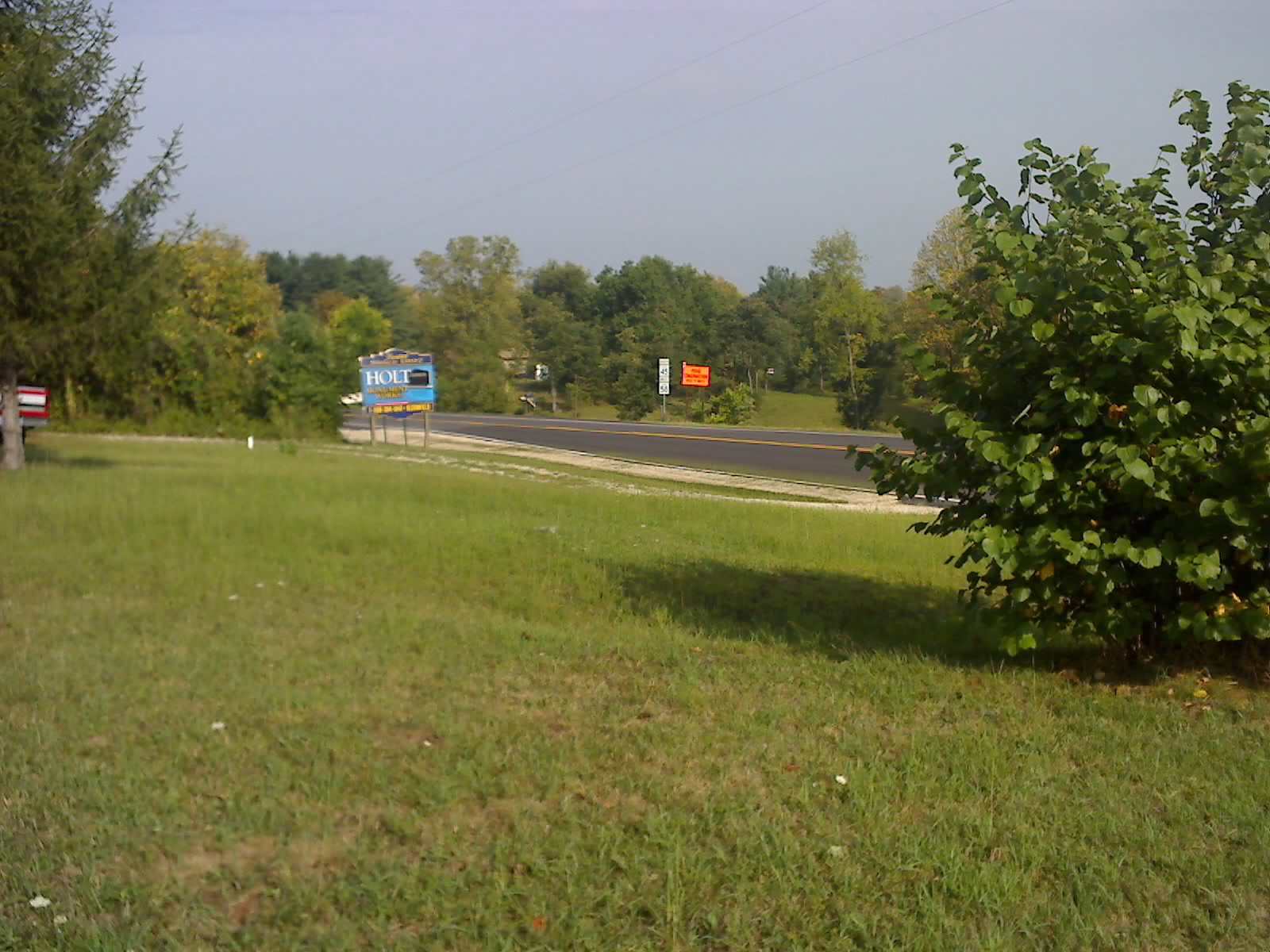
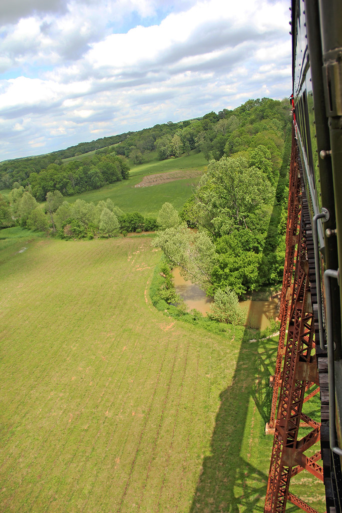
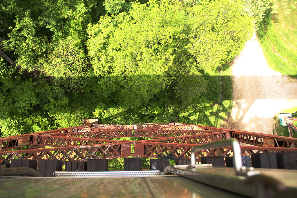
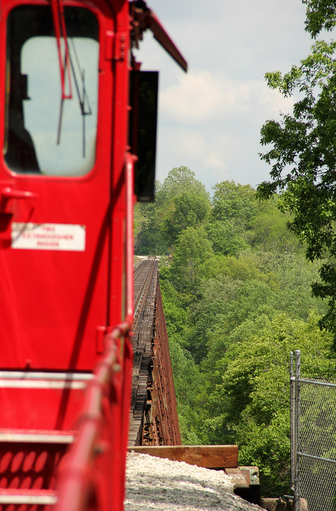
Related Photos:
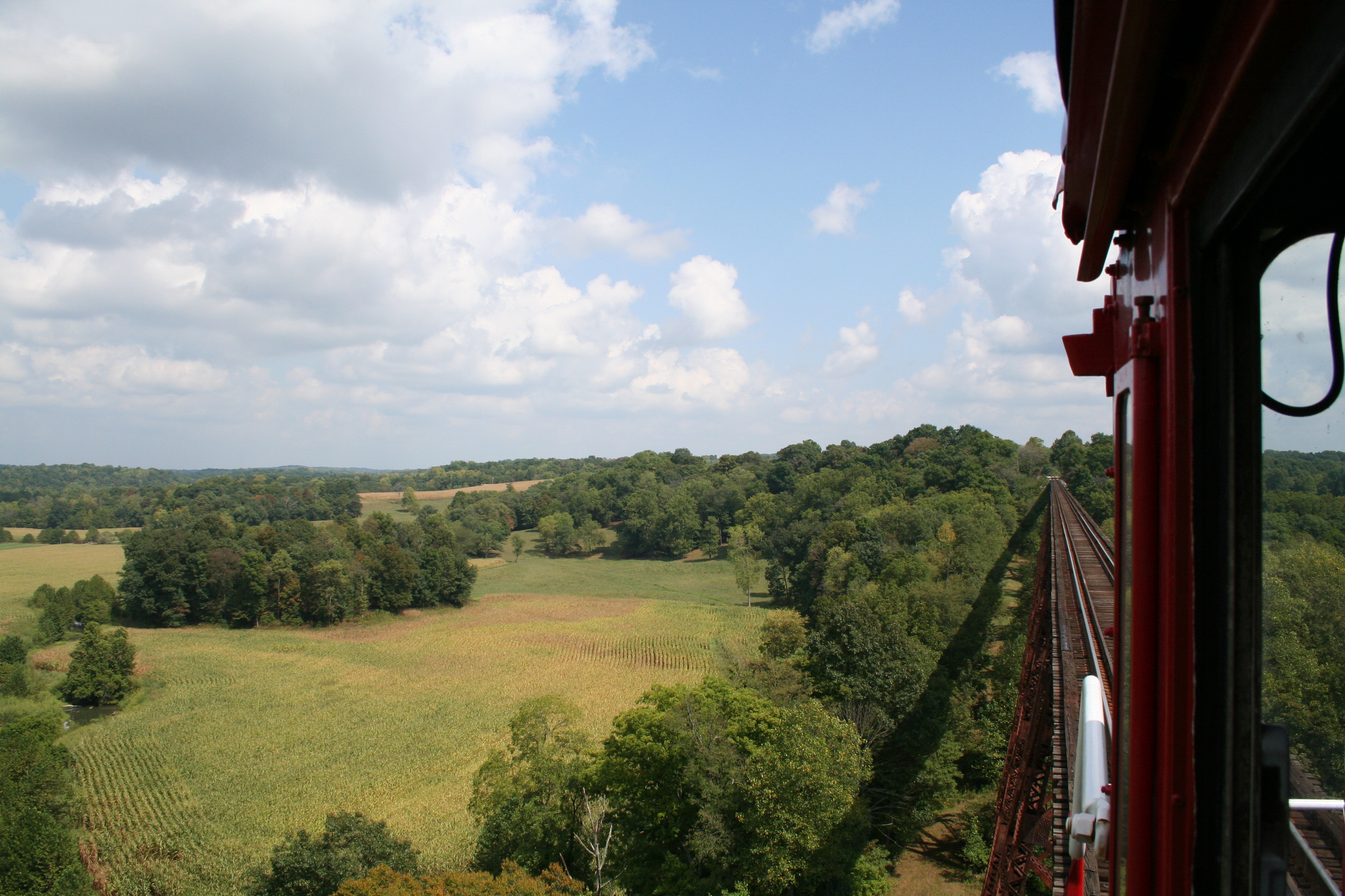
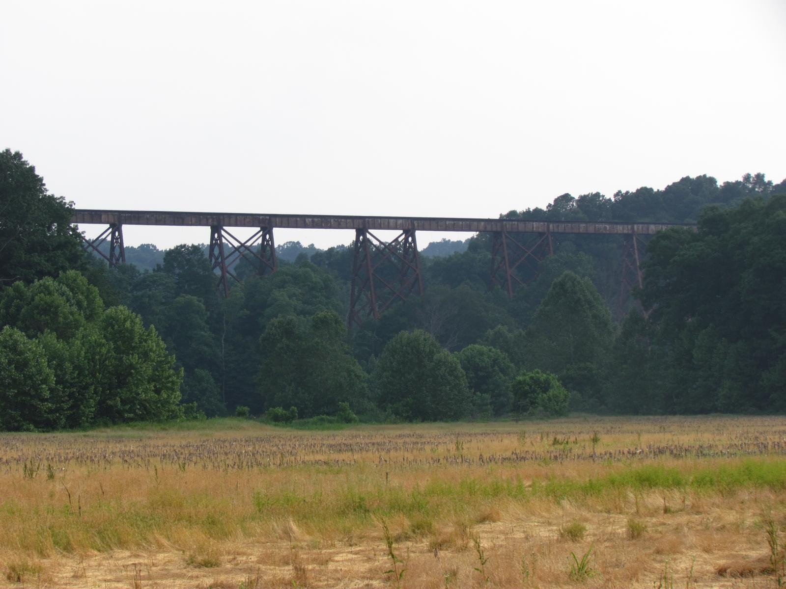
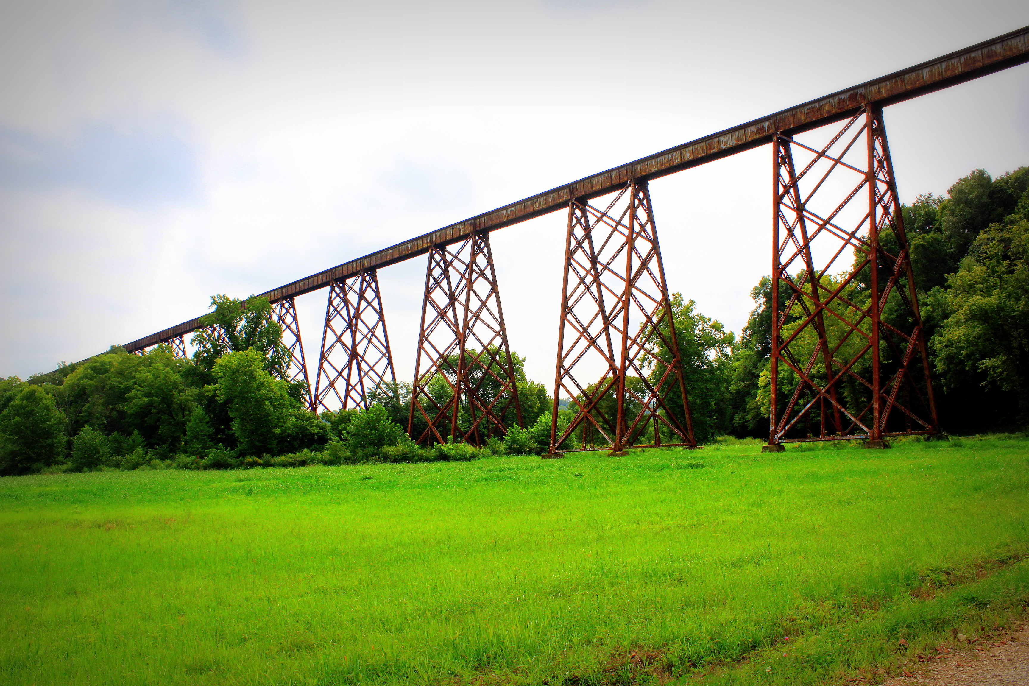
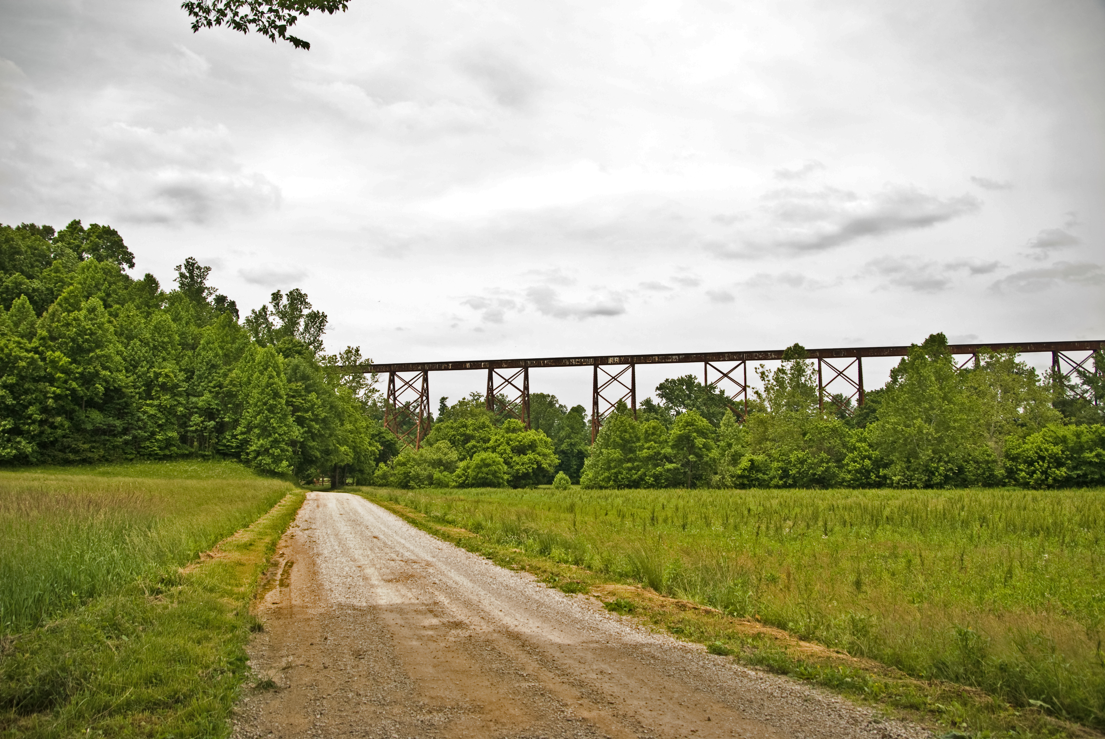
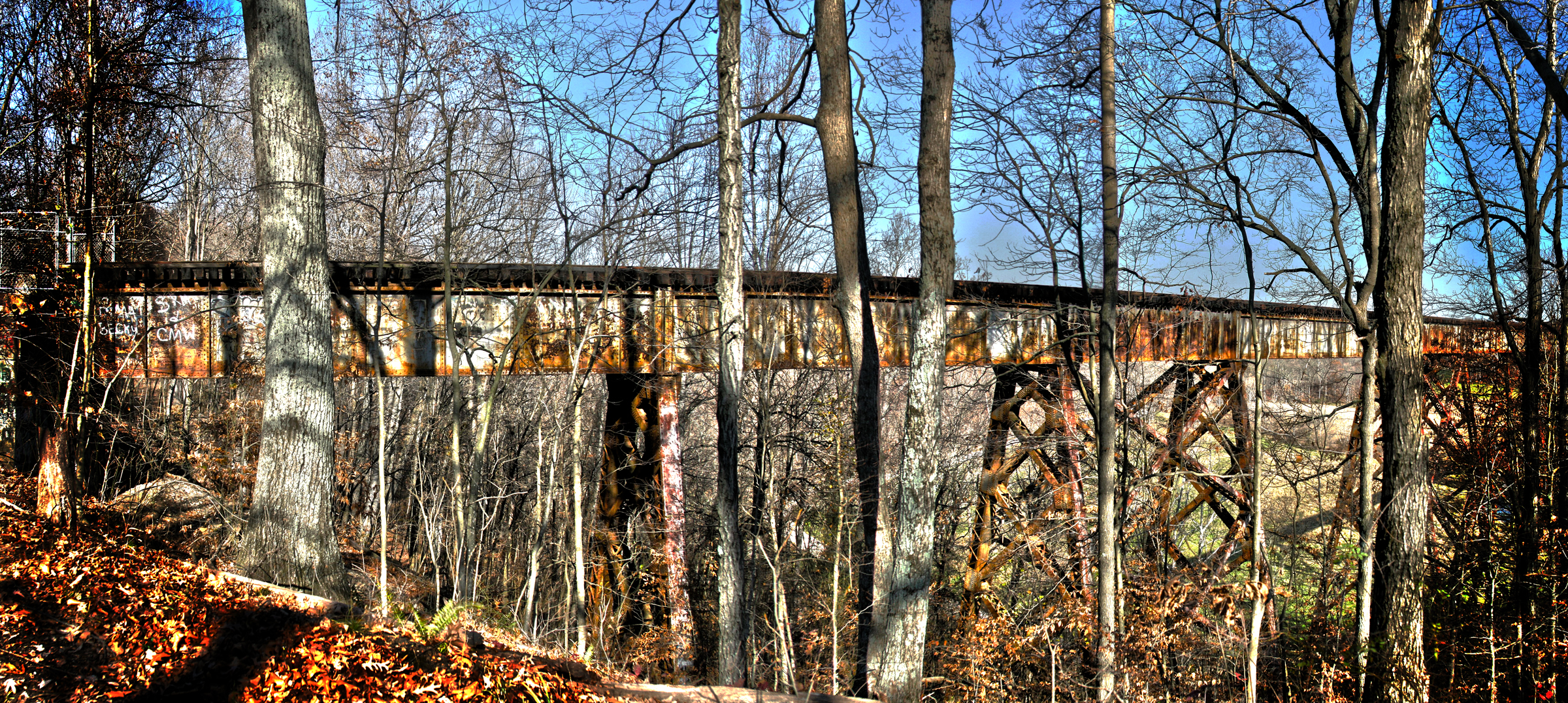
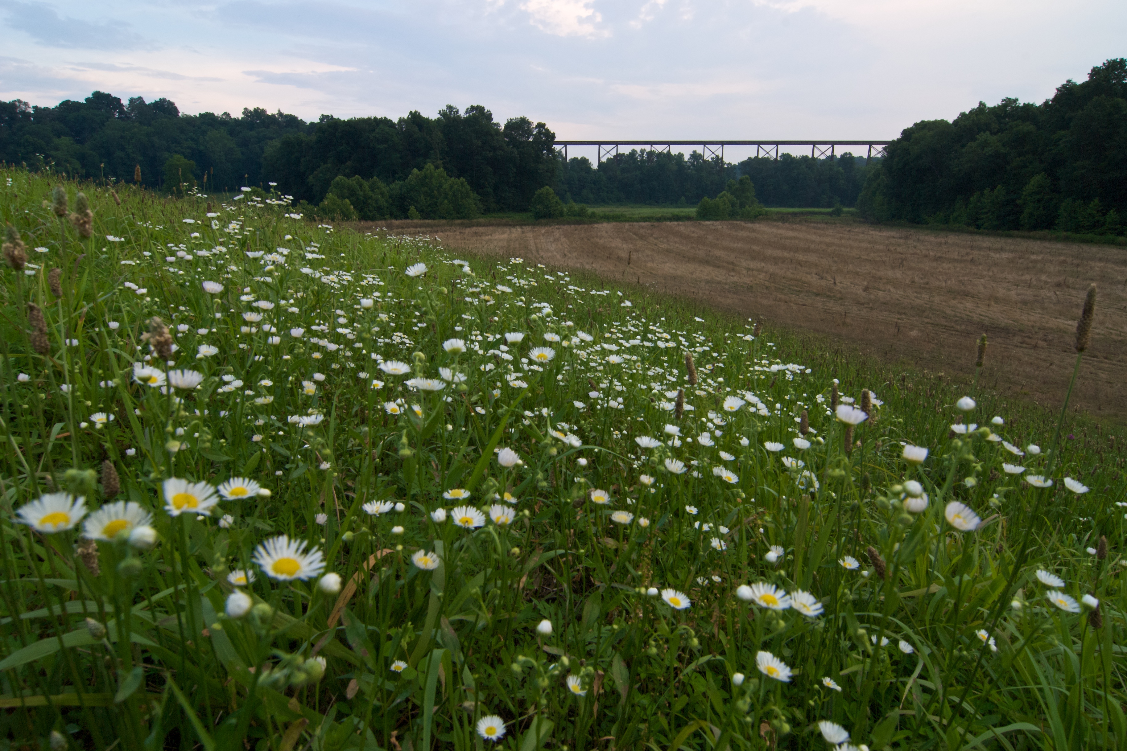
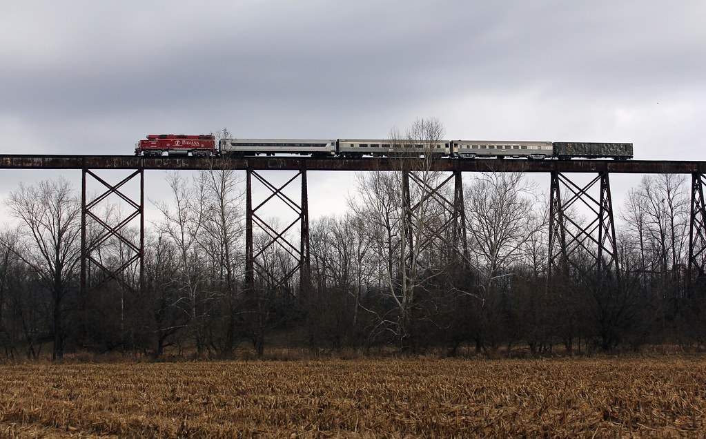
Tulip Trestle, Greene County Indiana

A view from days gone by ..
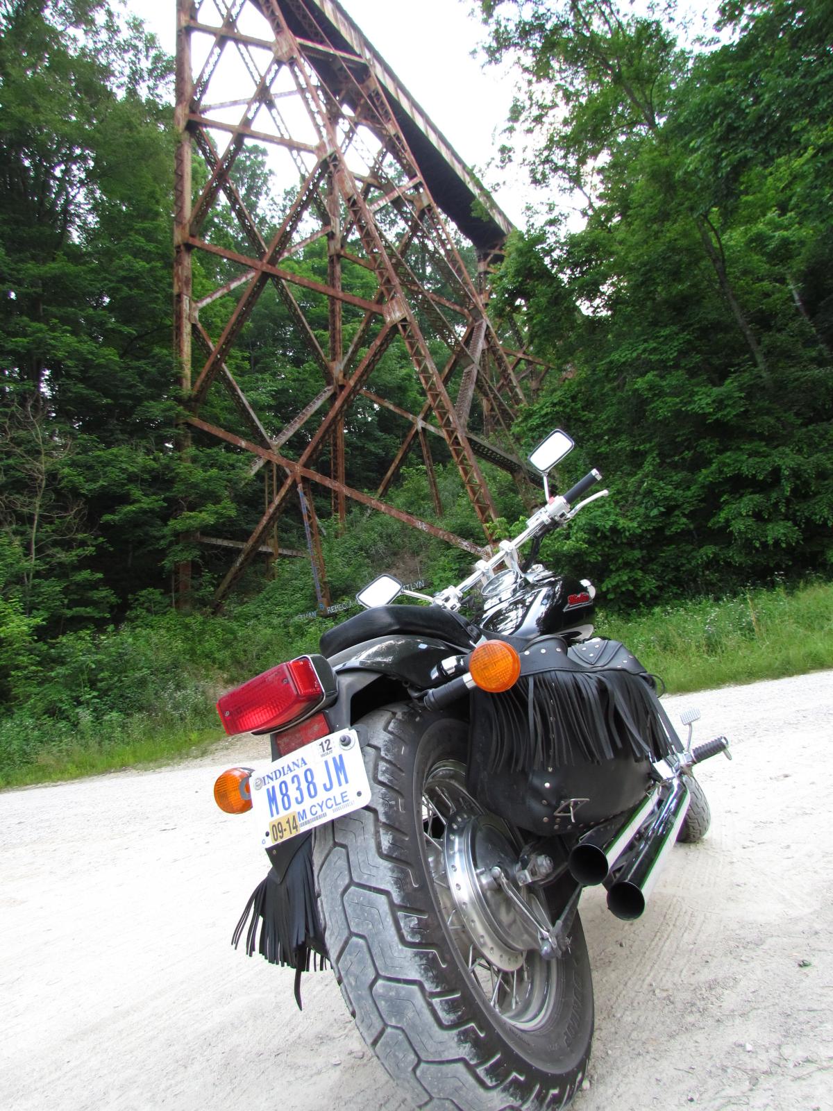
View From Below
Tulip Trestle
View From Intersection 2
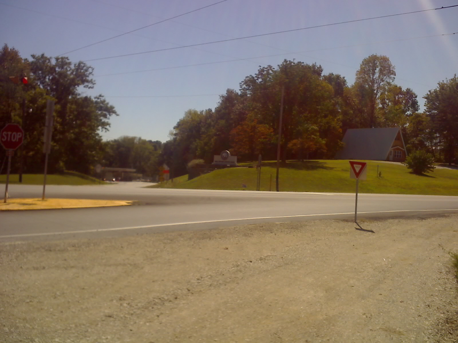
View From Intersection 1
View From Intersection 3
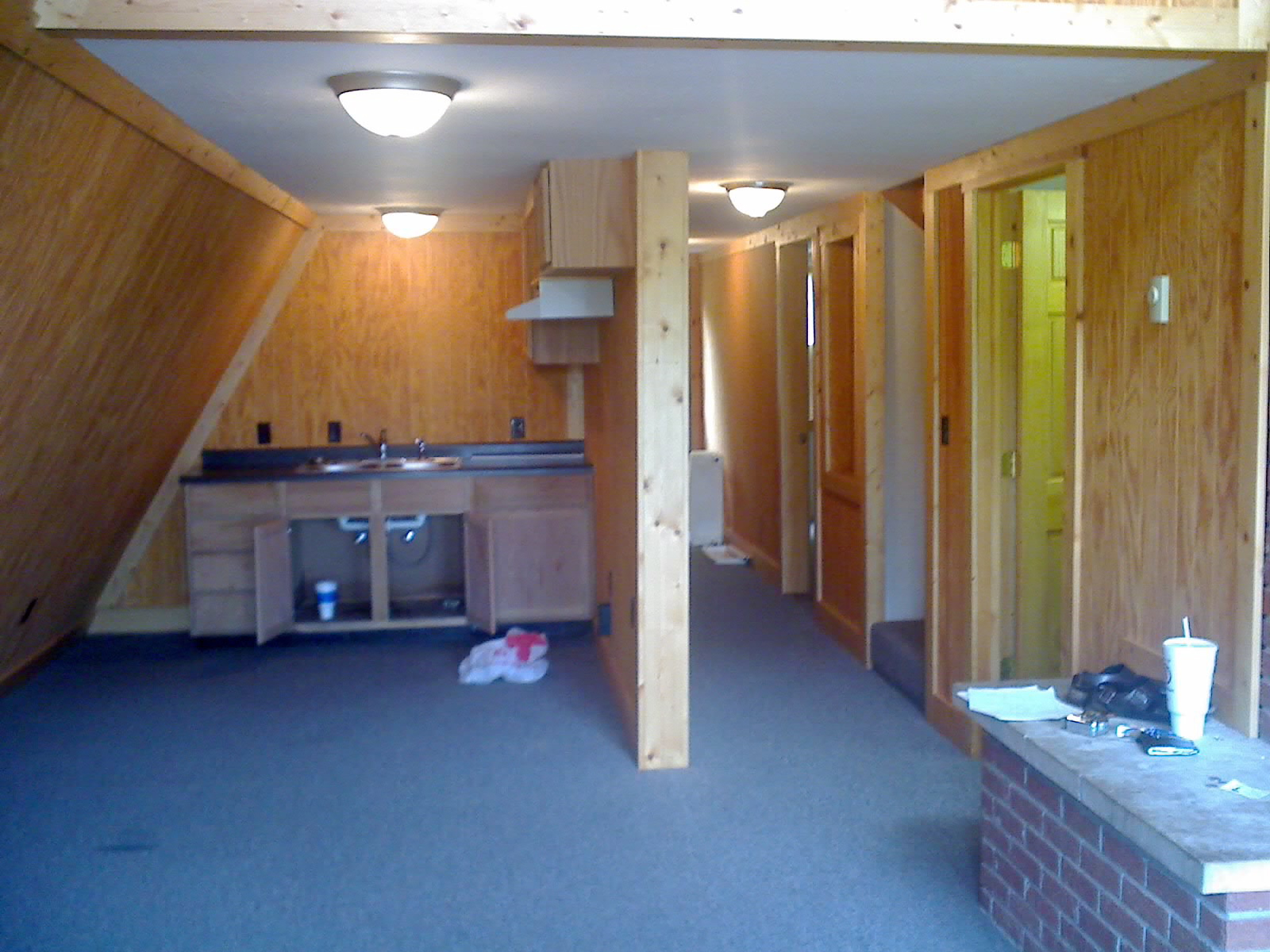
View From Front Door
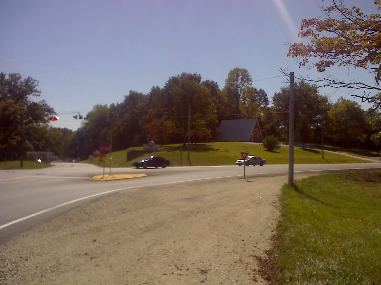
View Front Looking Toward Intersection
View From Property Looking Away From Intersection
Heading Back Across
Casting a Shadow
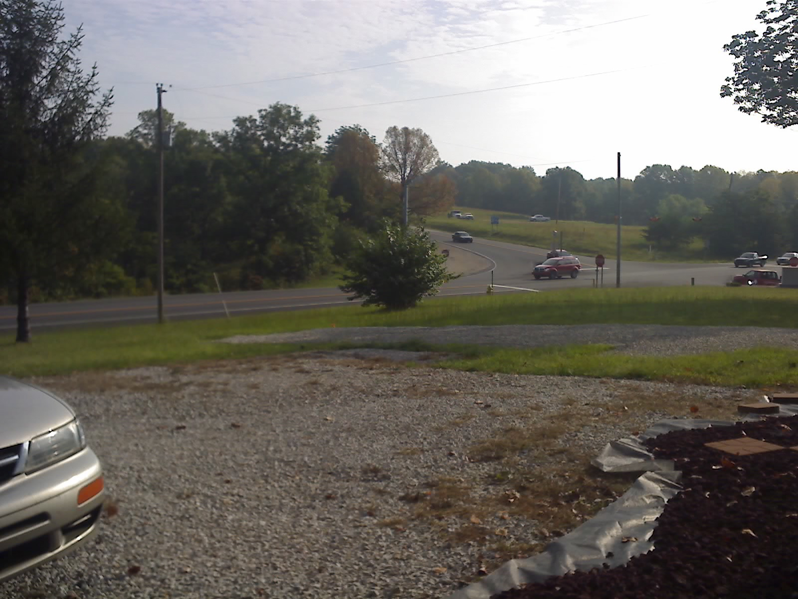
Best Available View
Don't Look Down!

IMG_1290[1]

Rain in Indiana
Tulip Trestle #1
High Contrast Tulip Panarama
Greene County Railroad Viaduct
Santa...Flying High (no sleigh needed!)
Topographic Map of Taylor Township, IN, USA
Find elevation by address:

Places in Taylor Township, IN, USA:
Places near Taylor Township, IN, USA:
E Mineral-Koleen Rd, Bloomfield, IN, USA
Iron Mountain Rd, Bloomfield, IN, USA
E Scotland Rd, Bloomfield, IN, USA
Crane
1163 S Seminary St
IN-, Odon, IN, USA
Bloomfield
Richland Township
Highway 346
4480 E Gallimore Rd
4076 E Gallimore Rd
E Sylvania Rd, Bloomfield, IN, USA
Naval Surface Warfare Center - Crane Division
IN-54, Bloomfield, IN, USA
N Wilkie School Rd, Bloomfield, IN, USA
Greene County
Jackson Township
Cass Township
E State Rd 58, Odon, IN, USA
8356 E Dobson Rd
Recent Searches:
- Elevation of Elwyn Dr, Roanoke Rapids, NC, USA
- Elevation of Congressional Dr, Stevensville, MD, USA
- Elevation of Bellview Rd, McLean, VA, USA
- Elevation of Stage Island Rd, Chatham, MA, USA
- Elevation of Shibuya Scramble Crossing, 21 Udagawacho, Shibuya City, Tokyo -, Japan
- Elevation of Jadagoniai, Kaunas District Municipality, Lithuania
- Elevation of Pagonija rock, Kranto 7-oji g. 8"N, Kaunas, Lithuania
- Elevation of Co Rd 87, Jamestown, CO, USA
- Elevation of Tenjo, Cundinamarca, Colombia
- Elevation of Côte-des-Neiges, Montreal, QC H4A 3J6, Canada