Elevation of Taylor Mill, KY, USA
Location: United States > Kentucky > Kenton County >
Longitude: -84.496330
Latitude: 38.9975616
Elevation: 259m / 850feet
Barometric Pressure: 98KPa
Elevation Map:
Satellite Map:
Related Photos:

UFO [Explored]
Trapped! [Explored]

Final Destination [Explored]
Dropped... [Explored]

Reflecting Pool
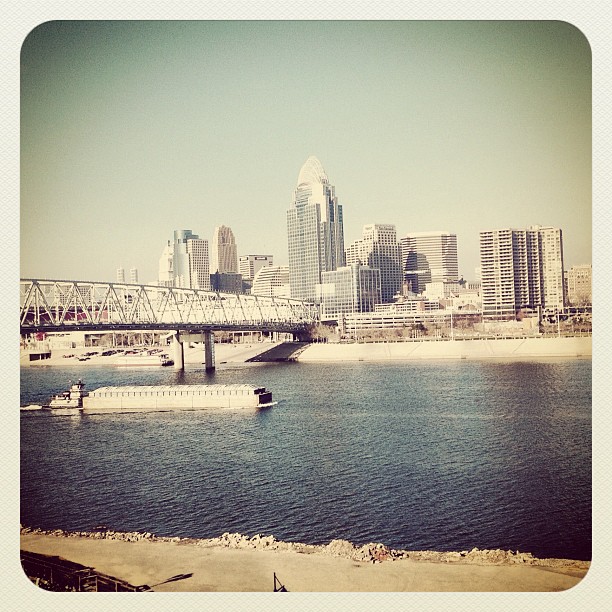
The Queen City

Bokeh Park [Explored/Front Page]

Downy woodpecker

111e where the fairies dance........ **Explore**

Palm Warbler

Imagine.....view Large !

004e deep purple

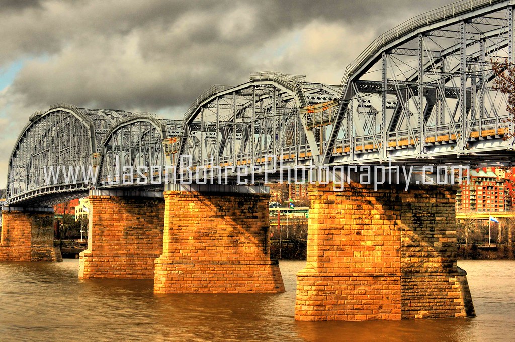
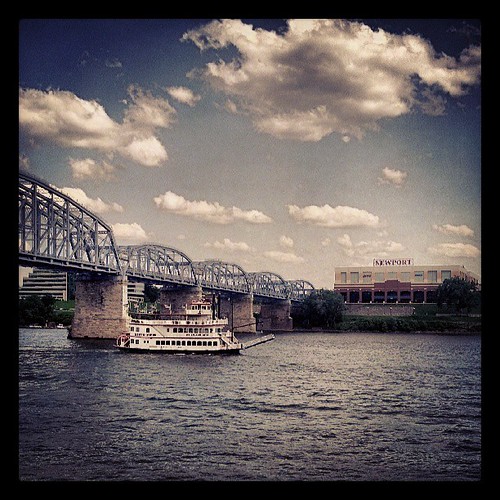
John A. Roebling Bridge
reach for the sky | cincinnati, oh

There are dreams you can make true
View of Cincinnati from KY

J trail (view large)

Drama Over The Queen City

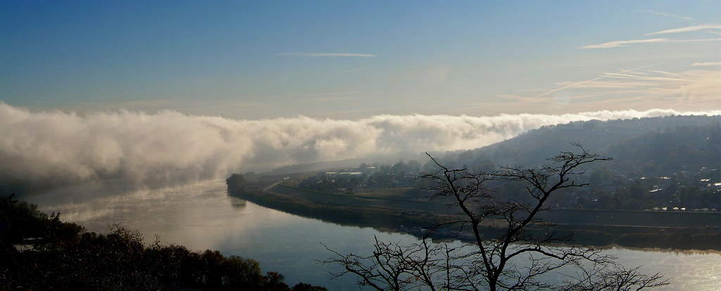
Morning fog snakes down the river six minutes from CVG

View from Dinner

159 a kiss of sun-- and exploding colors
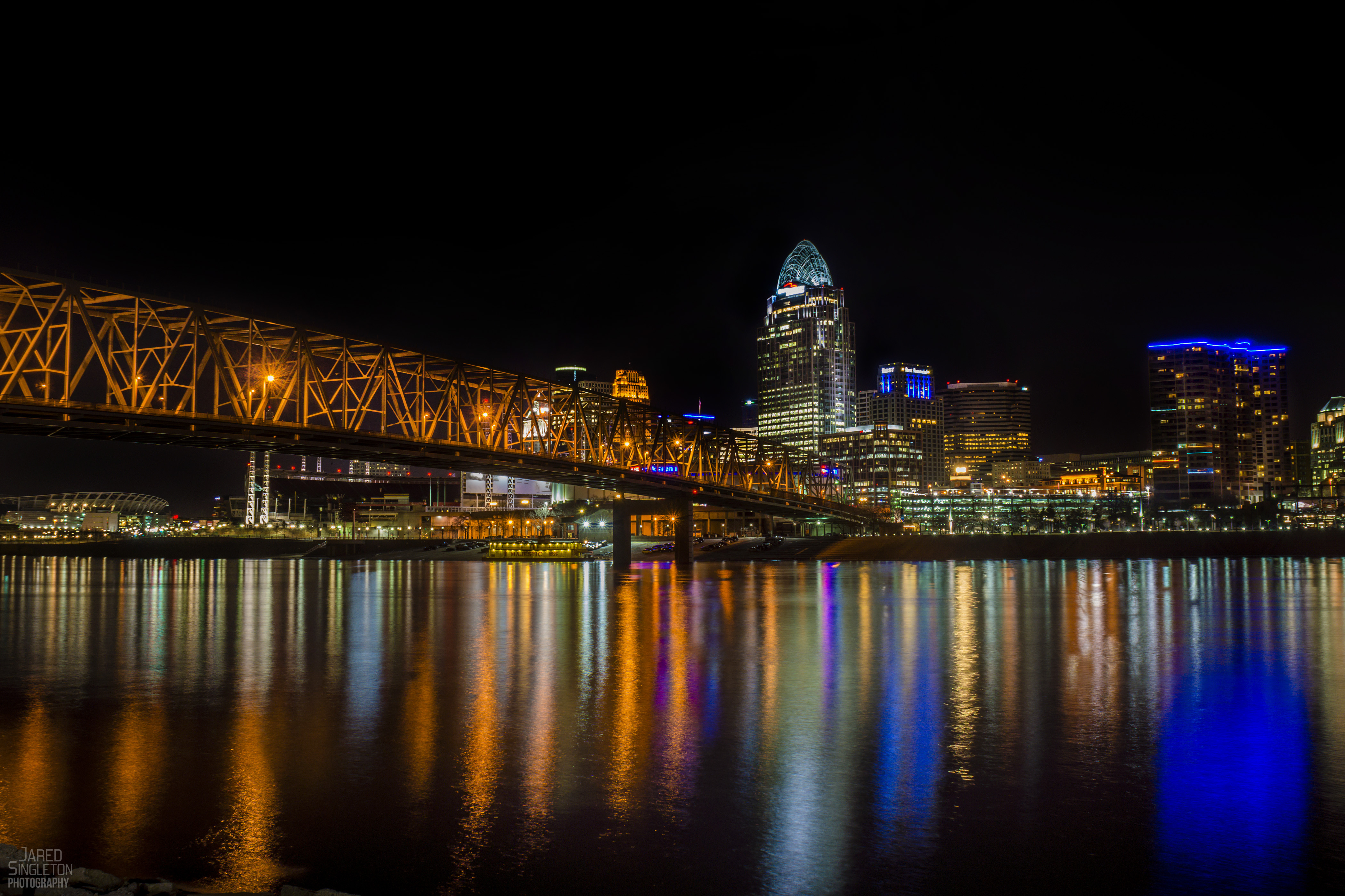
Cincinnati Skyline

Eden (5)
PPB (4)

IMG_3021.JPG

Sunrise at 52 Feet
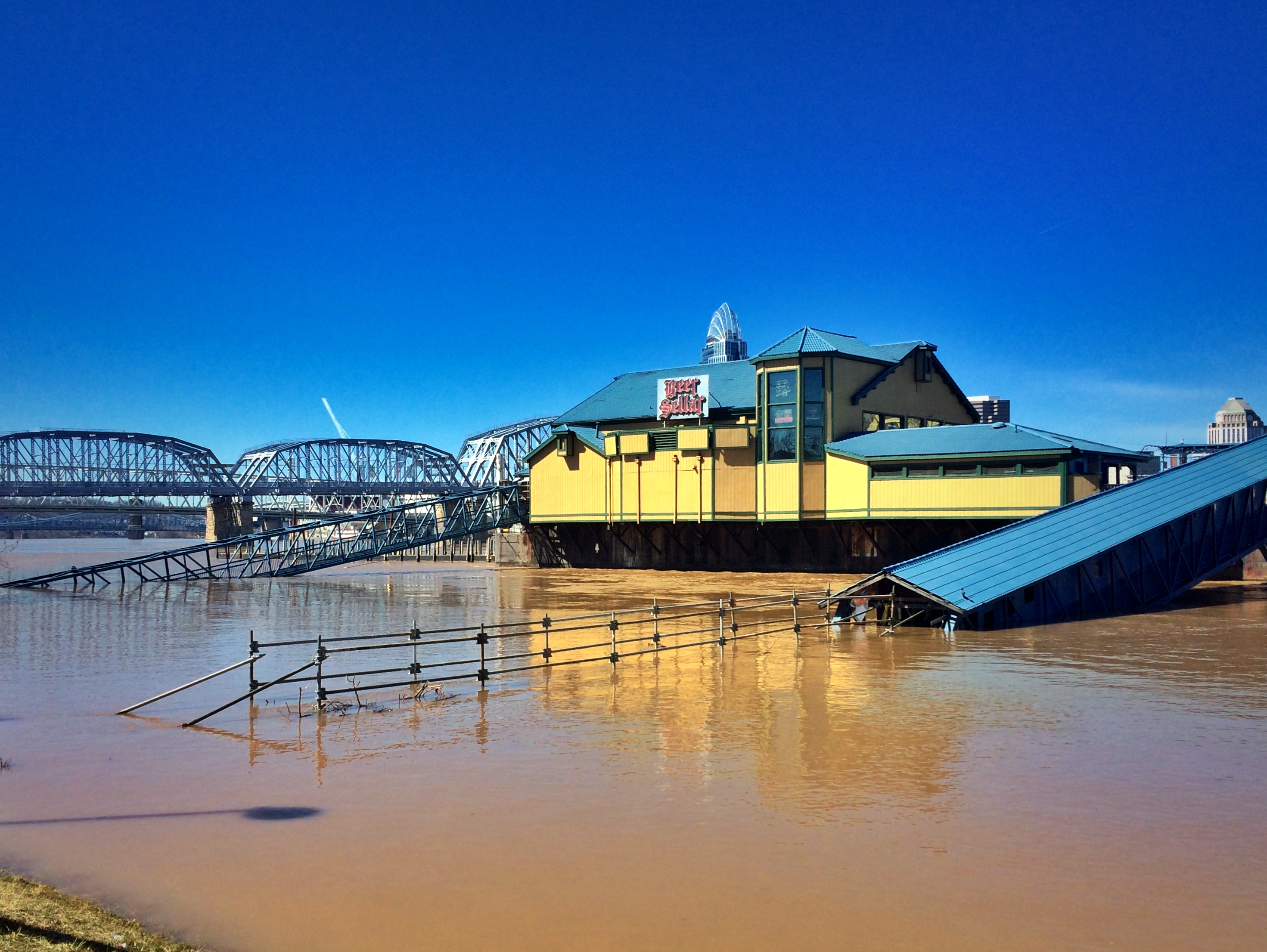
Good Morning Ohio River

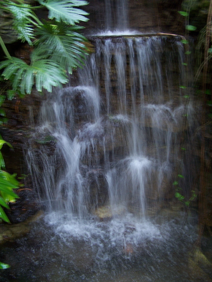
Pretty certain this croc discovered the waterfall works as a massager.
Picture 045

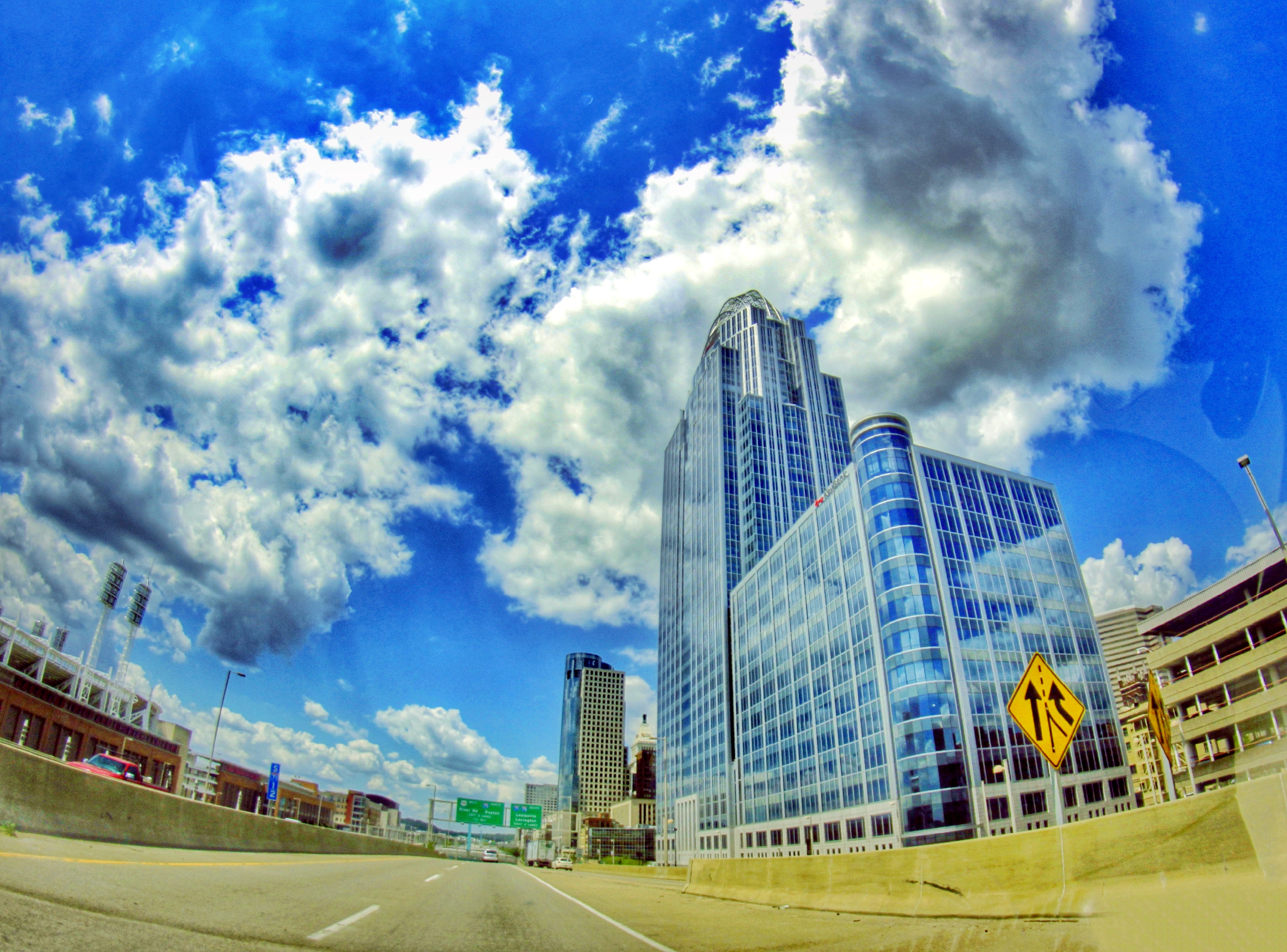
Blurred Cincinnati
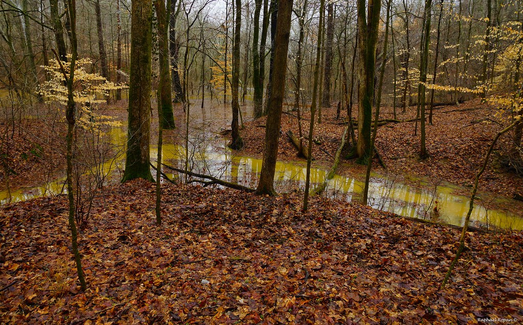
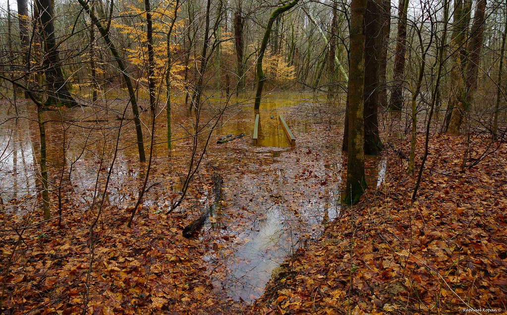
Flood in California woods
IMG_1513.JPG
#yeatmanscove #cincy

Eden Park Sunrise (explored)

Downtown Cincinnati

IMG_7475.JPG

2010-11-04 at 18-11-33 - Version 2
Trilluim Trailhead

Licking River
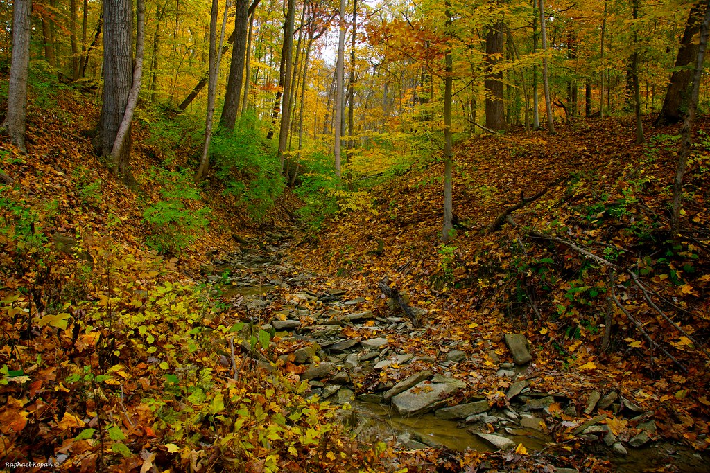
California Woods Park, behind the ranger station
IMG_3357.JPG
Topographic Map of Taylor Mill, KY, USA
Find elevation by address:

Places in Taylor Mill, KY, USA:
Places near Taylor Mill, KY, USA:
Latonia, KY, USA
Clubhouse Dr, Covington, KY, USA
Locust Pike, Taylor Mill, KY, USA
333 Pooles Creek Rd
Locust Pike, Ryland Heights, KY, USA
2f28+mc
1025 Mary Laidley Rd
9712 Ky-1930
Old Madison Pike, Fort Wright, KY, USA
9722 Locust Pike
Ryland Heights
3326 Ridgetop Way
Whites Rd, Ryland Heights, KY, USA
Brookwood Cir, Edgewood, KY, USA
4963 Madison Pike
Tuscany Valley Court
4100-4108
Cold Spring
Valleyside Drive
306 Fallingwater Ct
Recent Searches:
- Elevation of Corso Fratelli Cairoli, 35, Macerata MC, Italy
- Elevation of Tallevast Rd, Sarasota, FL, USA
- Elevation of 4th St E, Sonoma, CA, USA
- Elevation of Black Hollow Rd, Pennsdale, PA, USA
- Elevation of Oakland Ave, Williamsport, PA, USA
- Elevation of Pedrógão Grande, Portugal
- Elevation of Klee Dr, Martinsburg, WV, USA
- Elevation of Via Roma, Pieranica CR, Italy
- Elevation of Tavkvetili Mountain, Georgia
- Elevation of Hartfords Bluff Cir, Mt Pleasant, SC, USA