Elevation of Taylor Dr, Erwin, TN, USA
Location: United States > Tennessee > Unicoi County > Erwin >
Longitude: -82.486094
Latitude: 36.0867179
Elevation: 547m / 1795feet
Barometric Pressure: 95KPa
Elevation Map:
Satellite Map:
Related Photos:

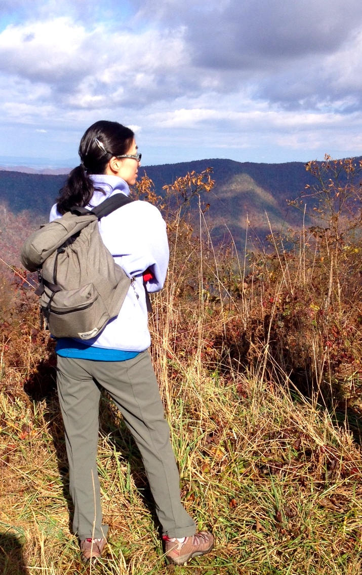
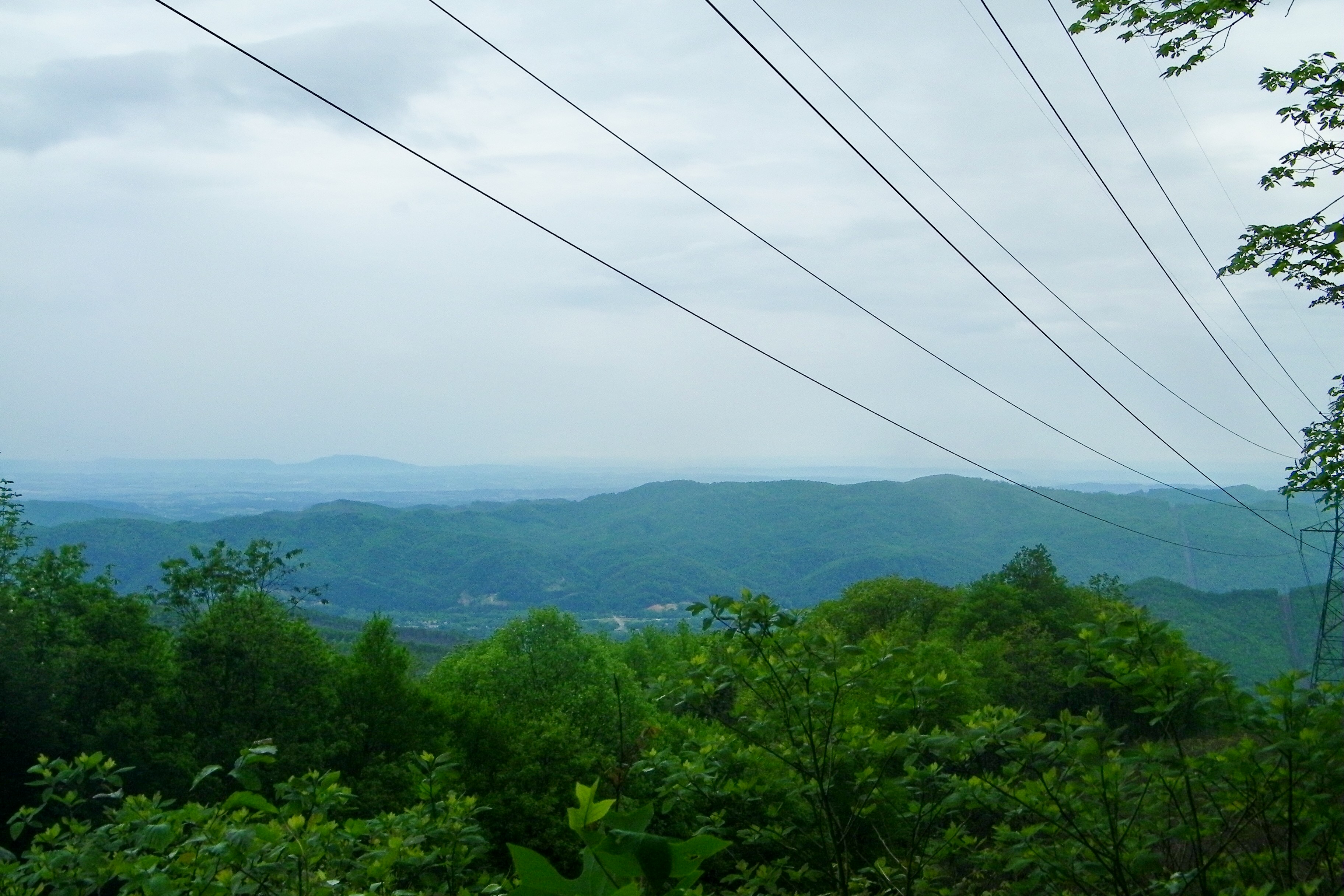
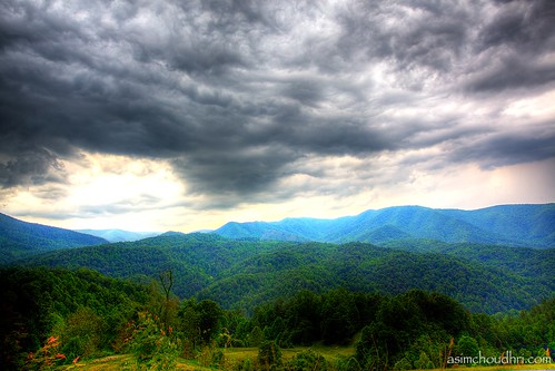
View from Beauty Spot
View-Top of Lost Cove

View from Beauty Spot
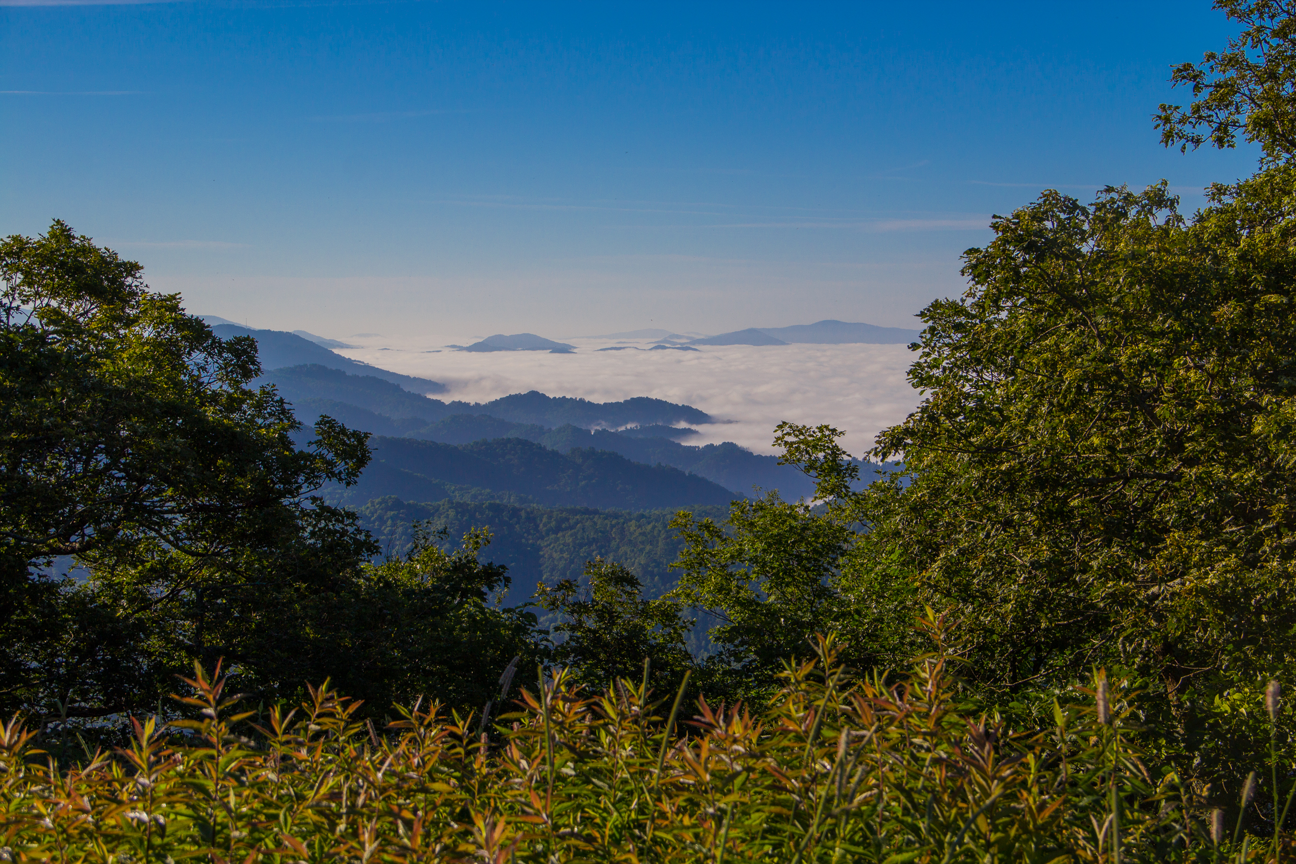
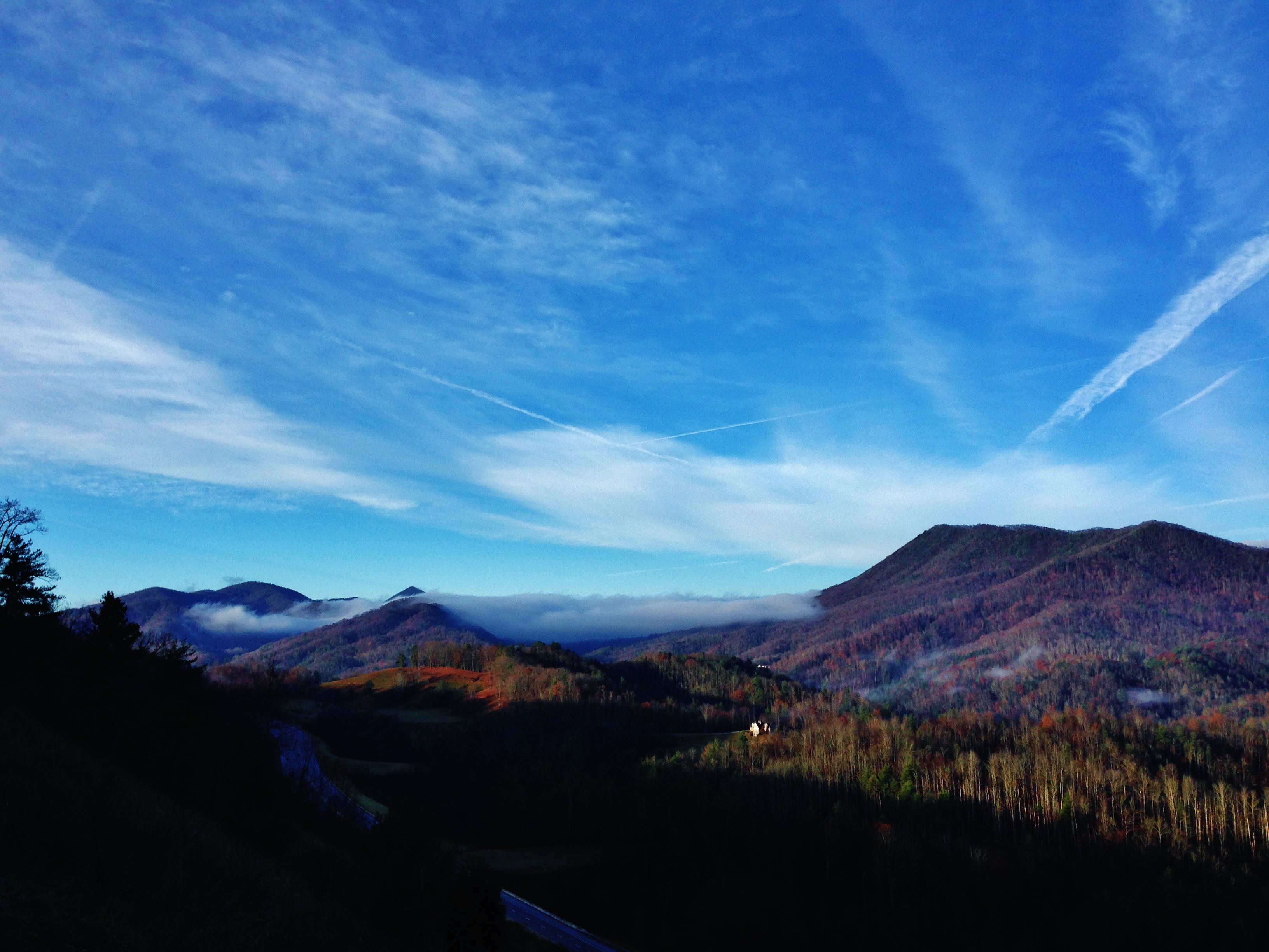
Fog Below Roan Mountain, Pisgah National Forest, North Carolina

View from Beauty Spot

...
Erwin, TN

20100424-131822
20100424-131516
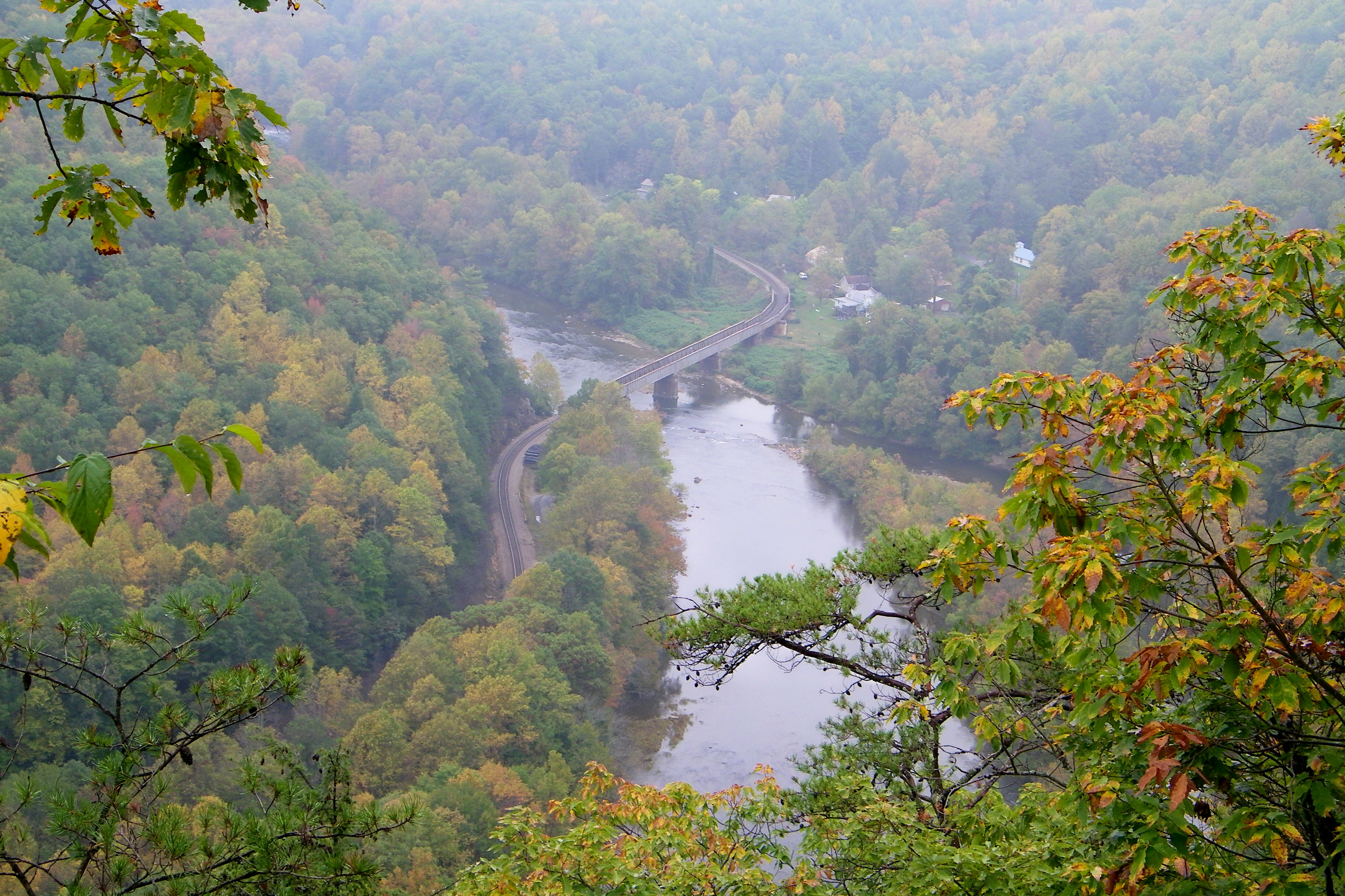
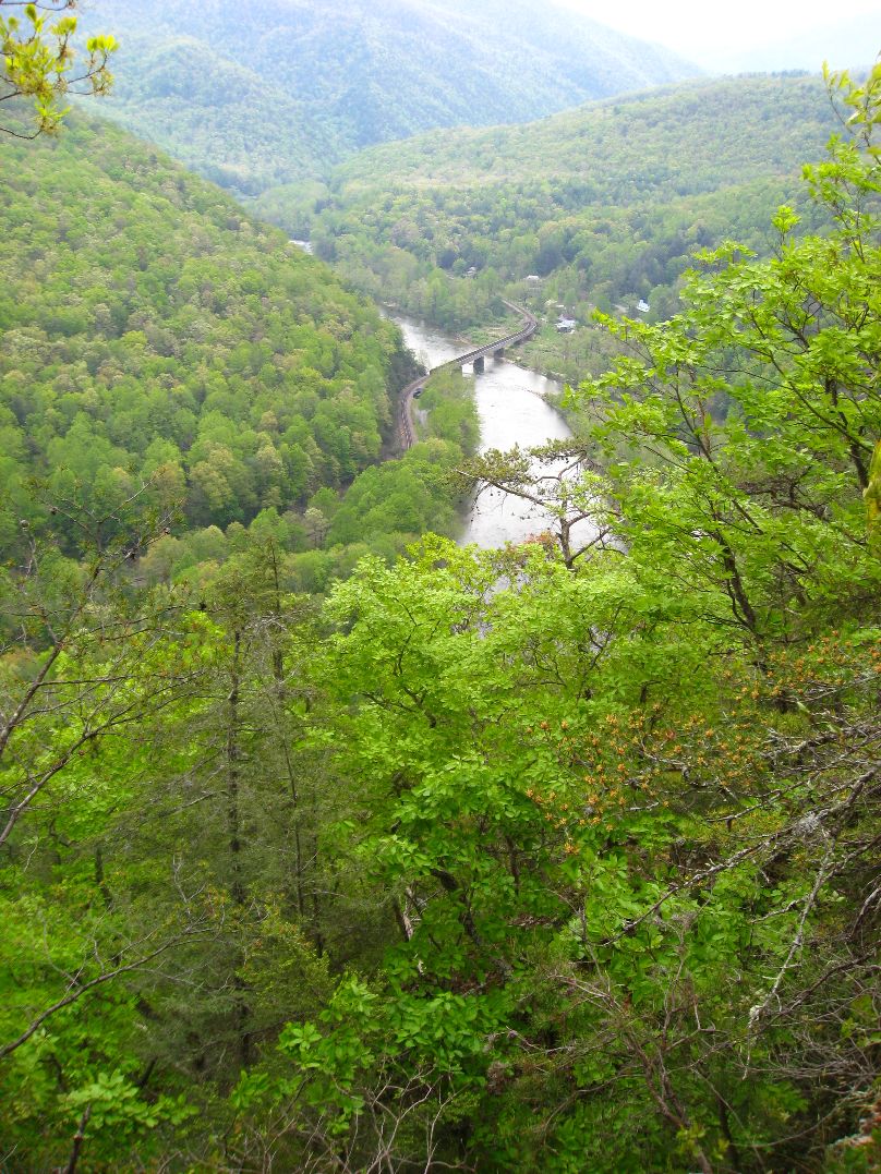
Railroad Trestle over the Nolichucky River
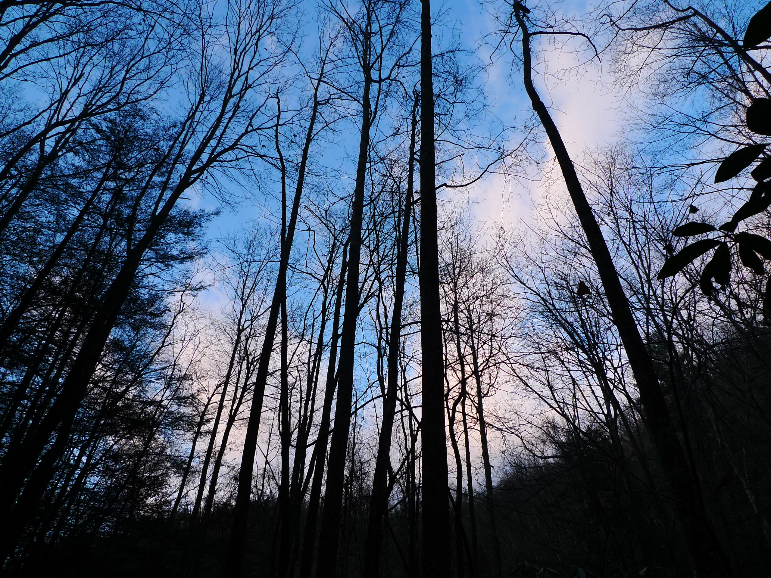
Appalachian Trail
20100424-132224

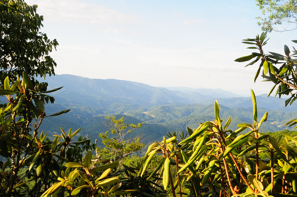
A mountain view
View from W4T/SU-024 - High Rock

Evening light at Scenic Wolf

Big Butt - Cold Spring Mountain

Big Butt - Cold Spring Mountain
Big Butt - Cold Spring Mountain
I-26 West view

View from W4T/SU-024 - High Rock
Appalachian Trail
Bald Mountains Panorama 1 2014-1102

WP_20141124_040.JPG

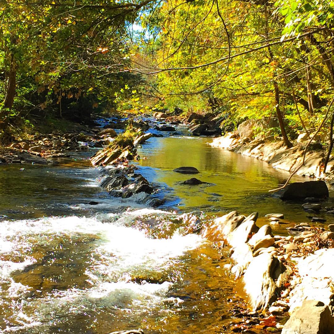
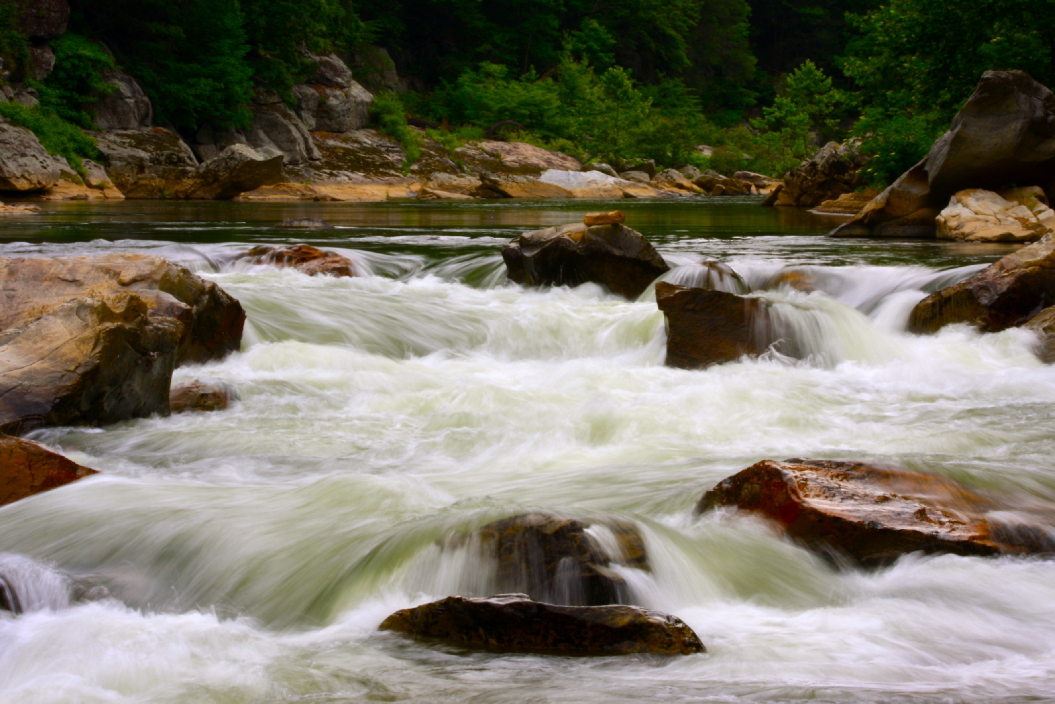
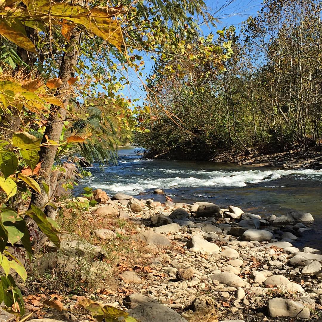
Nolichucky River
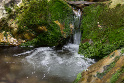
Squibb Creek
#Nolichucky #Unicoi #erwin #unicoicounty
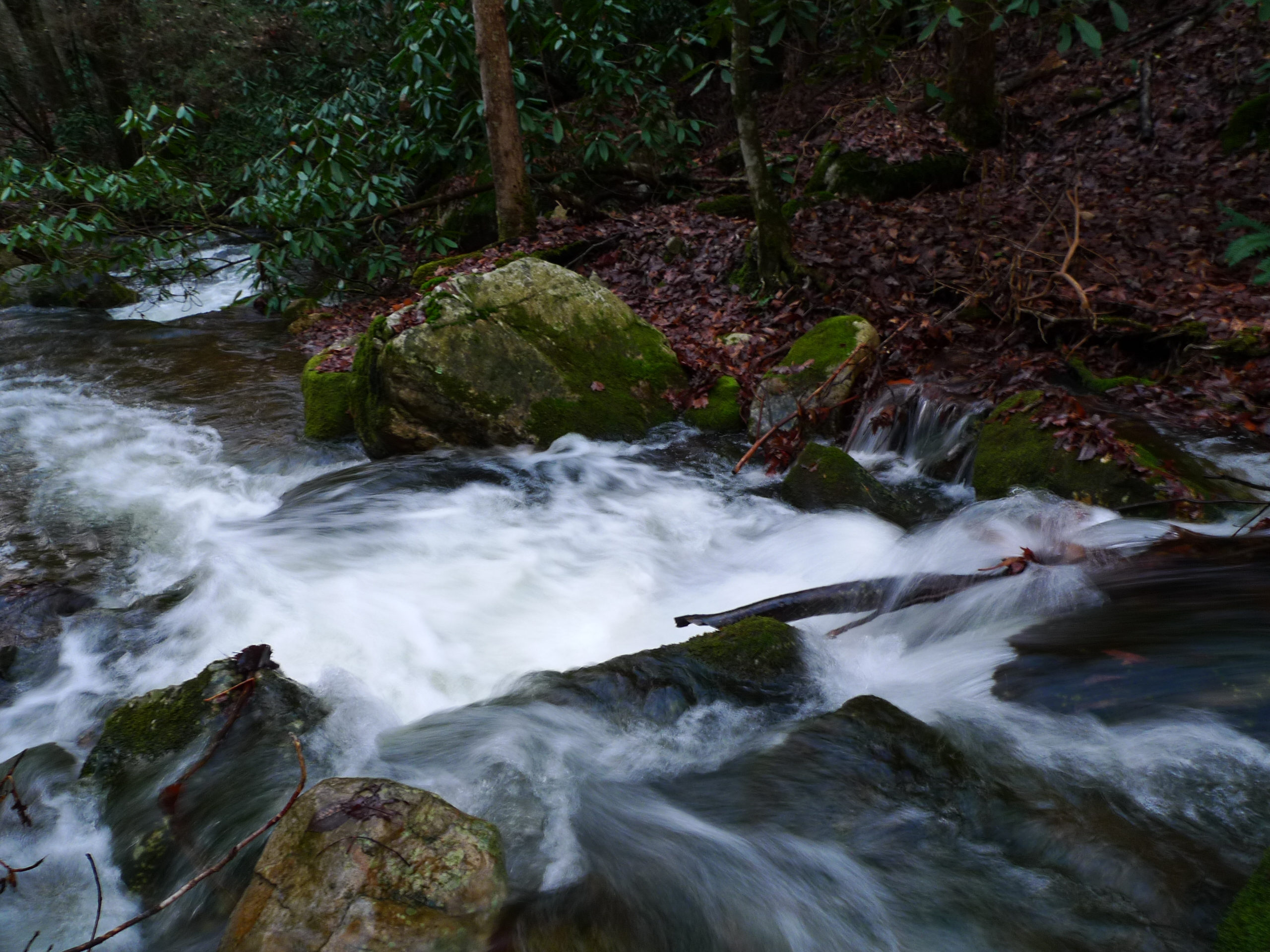
Rock Creek Hike
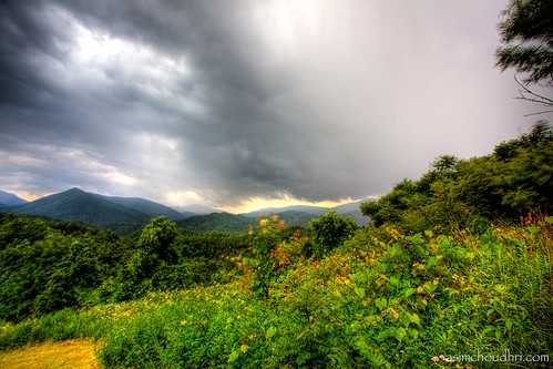
storm front moving over the blue ridge mountains...
Rock Creek Hike

Rock Creek Hike
Autumn Frosting. . .
rafting Nolichucky River Gwen Fred Sam Rhett Nantahala Outdoor Center Erwin TN 07-30-2012
Rock Creek Hike

#park #erwinlineartrail #fall #leaves #erwin
smoky mountain sunset...
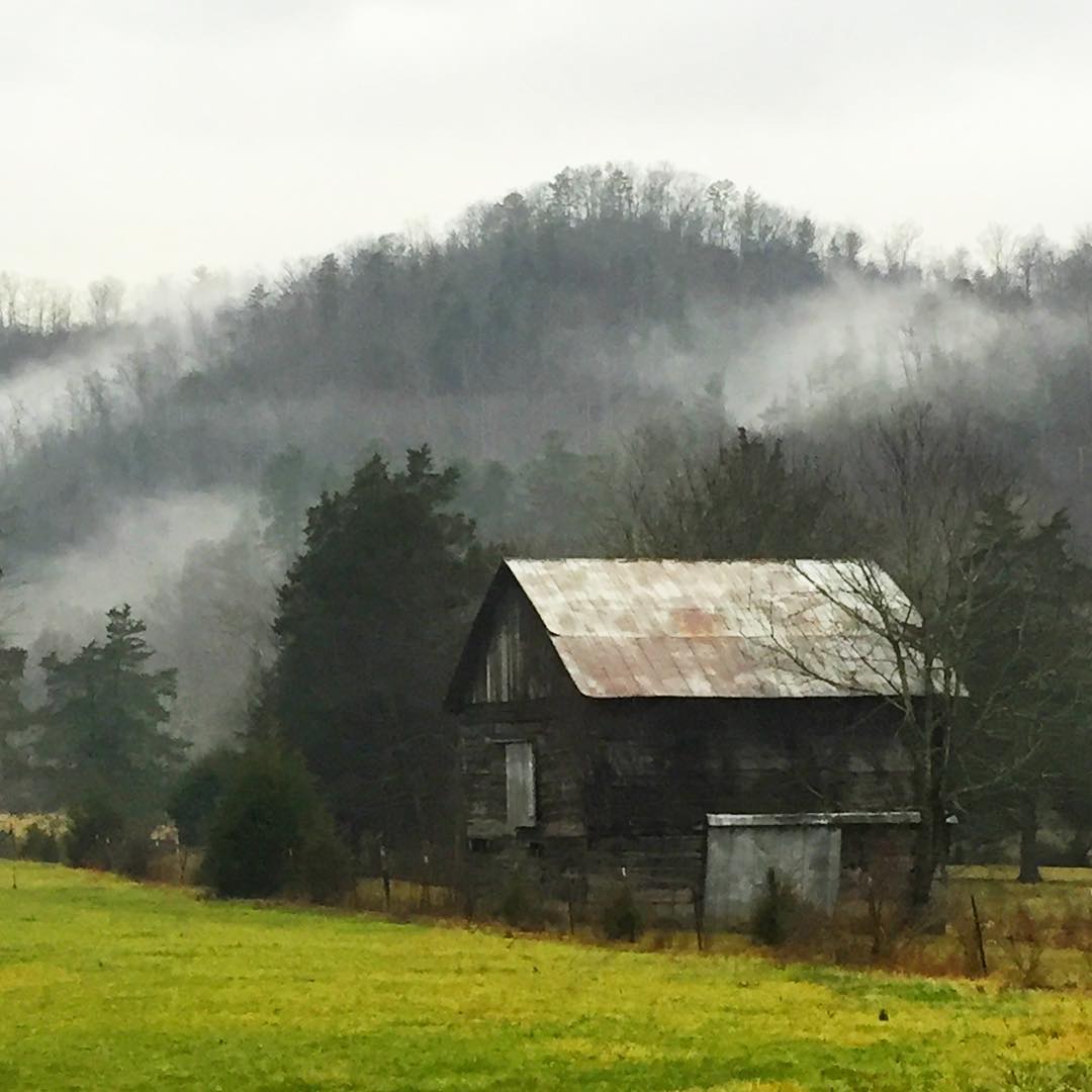
#stormyweather #geocachingadventures #rainydays #oldbarn #oldbarns
Sampson Mountain Wilderness - Horse Cove - Turkeypen Cove
#Nolichucky #Unicoi #erwin #unicoicounty

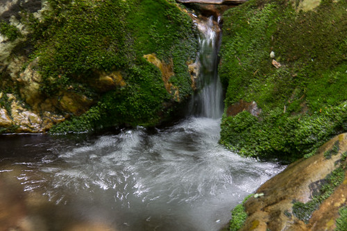
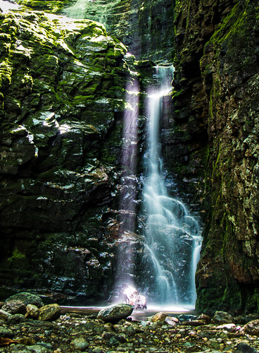
Petes Branch Falls
Topographic Map of Taylor Dr, Erwin, TN, USA
Find elevation by address:

Places near Taylor Dr, Erwin, TN, USA:
3026 Temple Hill Rd
3012 Temple Hill Rd
107 Garland Meadows Ln
150 Misty Blue Ln
Chase Lane
Erwin, TN, USA
Unicoi County
200 Whispering Wind Rd
Clear Branch Road
Spivey Mountain Road
Spivey Mountain Road
130 Creekside Ln
115 Creekside Ln
135 Unaka Springs Rd
198 Willis Cove Rd
110 Boyd Hensley Rd
135 Laurel Acres
2005 Masters Ln
175 Worley Tilson Rd
Nantahala Outdoor Center Nolichucky Outpost
Recent Searches:
- Elevation of Elwyn Dr, Roanoke Rapids, NC, USA
- Elevation of Congressional Dr, Stevensville, MD, USA
- Elevation of Bellview Rd, McLean, VA, USA
- Elevation of Stage Island Rd, Chatham, MA, USA
- Elevation of Shibuya Scramble Crossing, 21 Udagawacho, Shibuya City, Tokyo -, Japan
- Elevation of Jadagoniai, Kaunas District Municipality, Lithuania
- Elevation of Pagonija rock, Kranto 7-oji g. 8"N, Kaunas, Lithuania
- Elevation of Co Rd 87, Jamestown, CO, USA
- Elevation of Tenjo, Cundinamarca, Colombia
- Elevation of Côte-des-Neiges, Montreal, QC H4A 3J6, Canada