Elevation of Tatsamenie Peak, Stikine Region, BC V0W, Canada
Location: Canada > British Columbia > Atlin >
Longitude: -132.38416
Latitude: 58.2680555
Elevation: 2137m / 7011feet
Barometric Pressure: 78KPa
Elevation Map:
Satellite Map:
Related Photos:
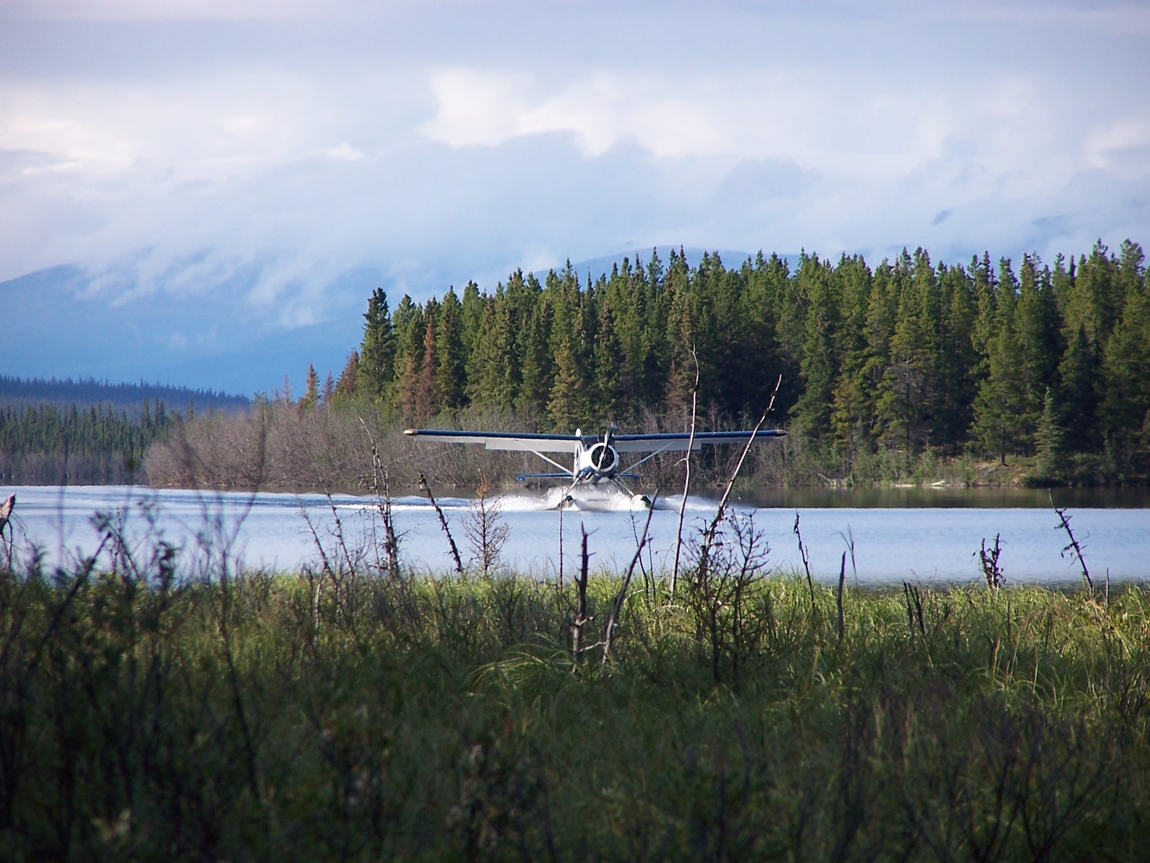
Halfway trip... Seaplane food dropping
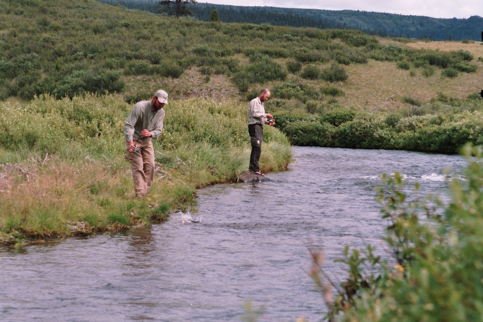
Catching a meal. No daily success
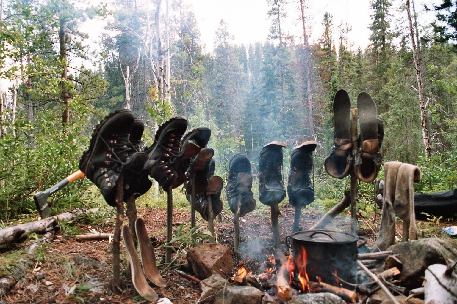
"Daily protocol"

A celebration drink on my 33th anniversary
Topographic Map of Tatsamenie Peak, Stikine Region, BC V0W, Canada
Find elevation by address:

Places near Tatsamenie Peak, Stikine Region, BC V0W, Canada:
Tatsatua Peak
Cheja Peak
Chechidla Peak
Chutine Peak
Chechidla Range
Whiting Peak
Mount Lester Jones
Sittakanay Peak
Tracy Arm
Recent Searches:
- Elevation of Corso Fratelli Cairoli, 35, Macerata MC, Italy
- Elevation of Tallevast Rd, Sarasota, FL, USA
- Elevation of 4th St E, Sonoma, CA, USA
- Elevation of Black Hollow Rd, Pennsdale, PA, USA
- Elevation of Oakland Ave, Williamsport, PA, USA
- Elevation of Pedrógão Grande, Portugal
- Elevation of Klee Dr, Martinsburg, WV, USA
- Elevation of Via Roma, Pieranica CR, Italy
- Elevation of Tavkvetili Mountain, Georgia
- Elevation of Hartfords Bluff Cir, Mt Pleasant, SC, USA