Elevation of Tathavada, Maharashtra, India
Location: India > Maharashtra > Satara >
Longitude: 74.3294199
Latitude: 17.8614113
Elevation: 712m / 2336feet
Barometric Pressure: 93KPa
Elevation Map:
Satellite Map:
Related Photos:

Valley View

Drive to our farms

19668 Palace Queen Humsafar Express

12148 NZM-KOP Express at Adarki

Kolhapur - Pune DEMU Train
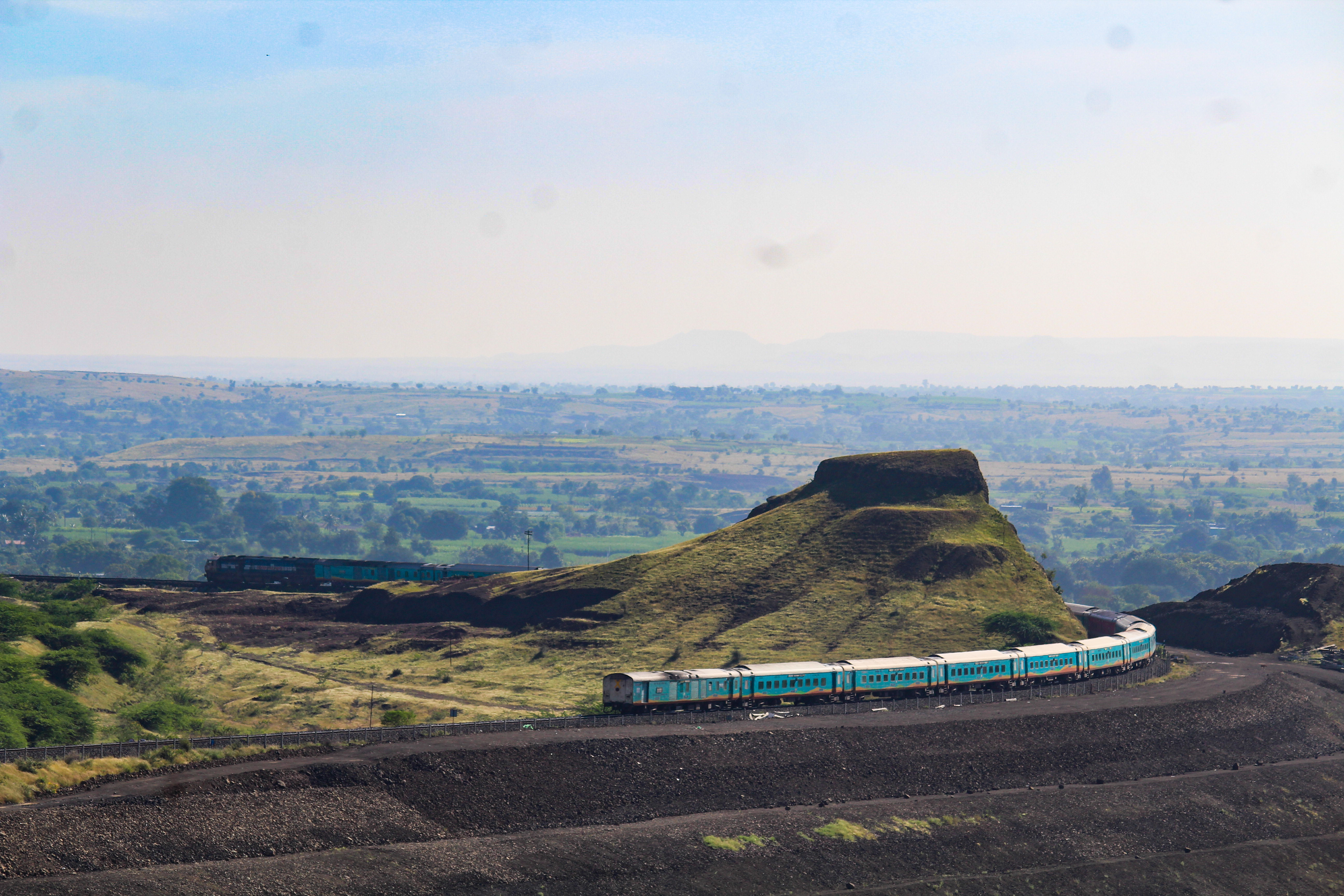
Humsafar swings Kati Pahadi

Wedding at Phaltan
Topographic Map of Tathavada, Maharashtra, India
Find elevation by address:

Places near Tathavada, Maharashtra, India:
Zadakbaichiwadi
Tardaf
Garavadi
Dhawal
Veloshi
Upalve
Mol
Mirewadi
Manjarwadi
Korhale
Diskal
Wakhari
Pangarkhel
Dalwadi
Rajapur
Chinchani
Bibi
Lalagun
Budh
Bodkewadi
Recent Searches:
- Elevation of Kambingan Sa Pansol Atbp., Purok 7 Pansol, Candaba, Pampanga, Philippines
- Elevation of Pinewood Dr, New Bern, NC, USA
- Elevation of Mountain View, CA, USA
- Elevation of Foligno, Province of Perugia, Italy
- Elevation of Blauwestad, Netherlands
- Elevation of Bella Terra Blvd, Estero, FL, USA
- Elevation of Estates Loop, Priest River, ID, USA
- Elevation of Woodland Oak Pl, Thousand Oaks, CA, USA
- Elevation of Brownsdale Rd, Renfrew, PA, USA
- Elevation of Corcoran Ln, Suffolk, VA, USA