Elevation of Tateyama, Chiba Prefecture, Japan
Location: Japan > Chiba Prefecture >
Longitude: 139.869965
Latitude: 34.9965057
Elevation: 8m / 26feet
Barometric Pressure: 101KPa
Elevation Map:
Satellite Map:
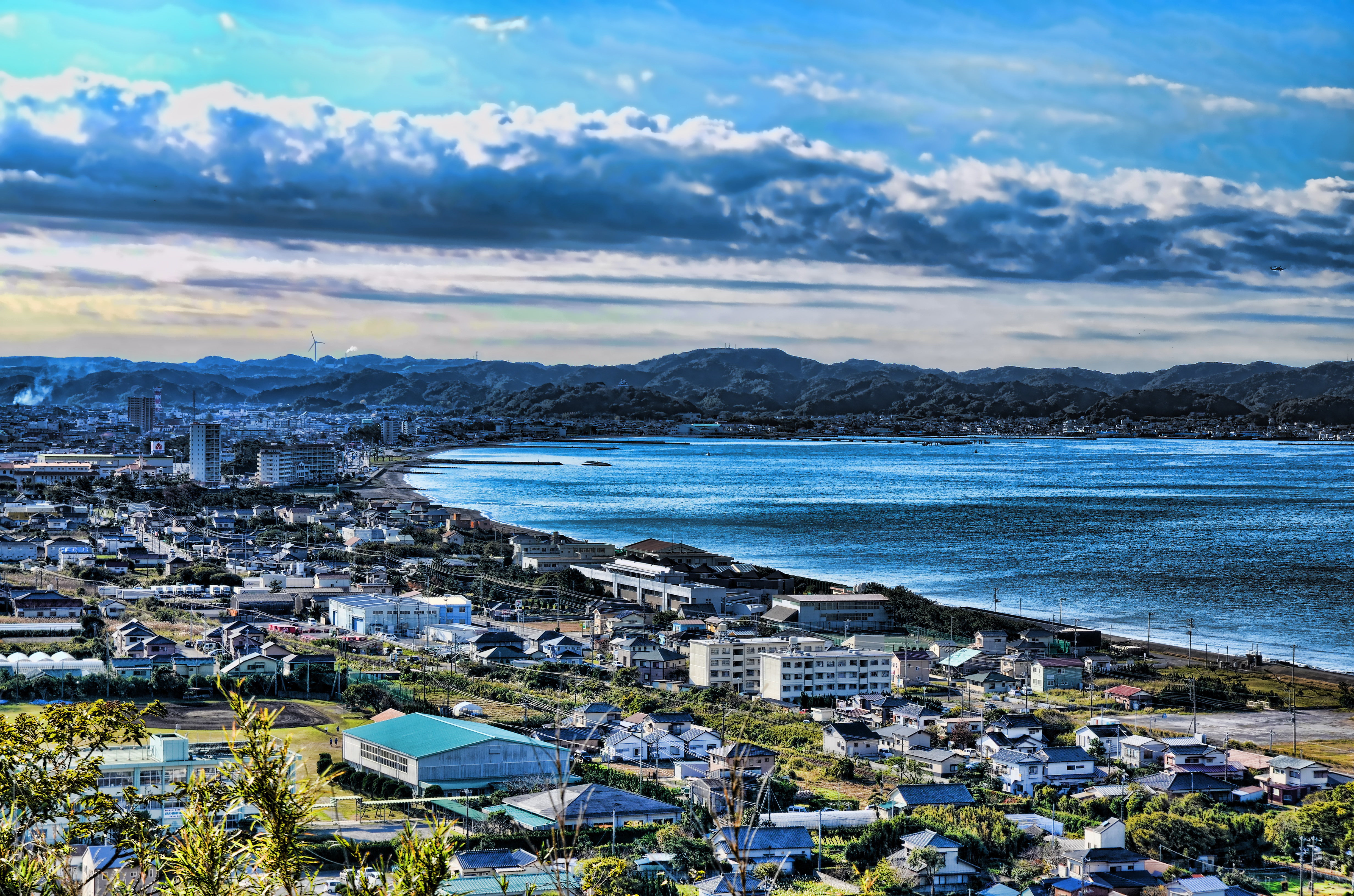
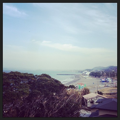
Related Photos:

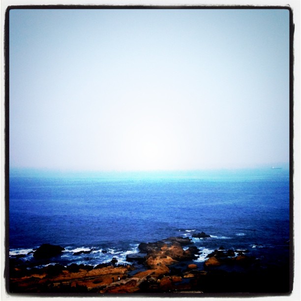
Sunset over Tokyo Bay

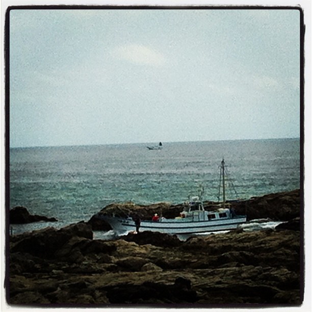
Sunset Fishing
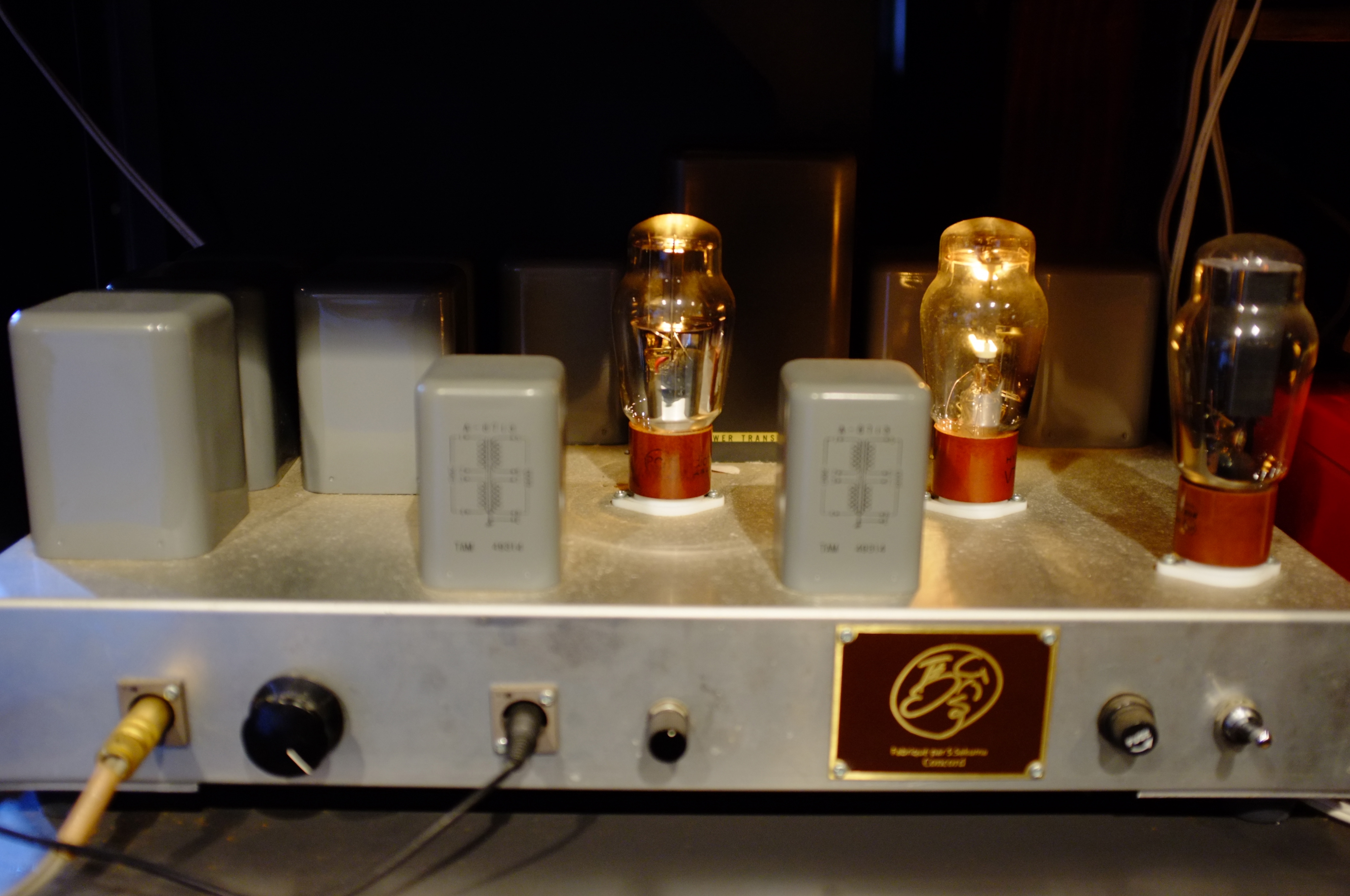
SAKUMA AMP. PLAYS ROSALYN TURECK

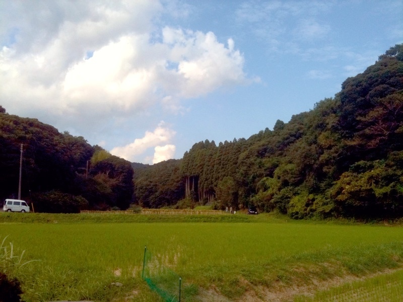
館山市古茂口

館山市古茂口
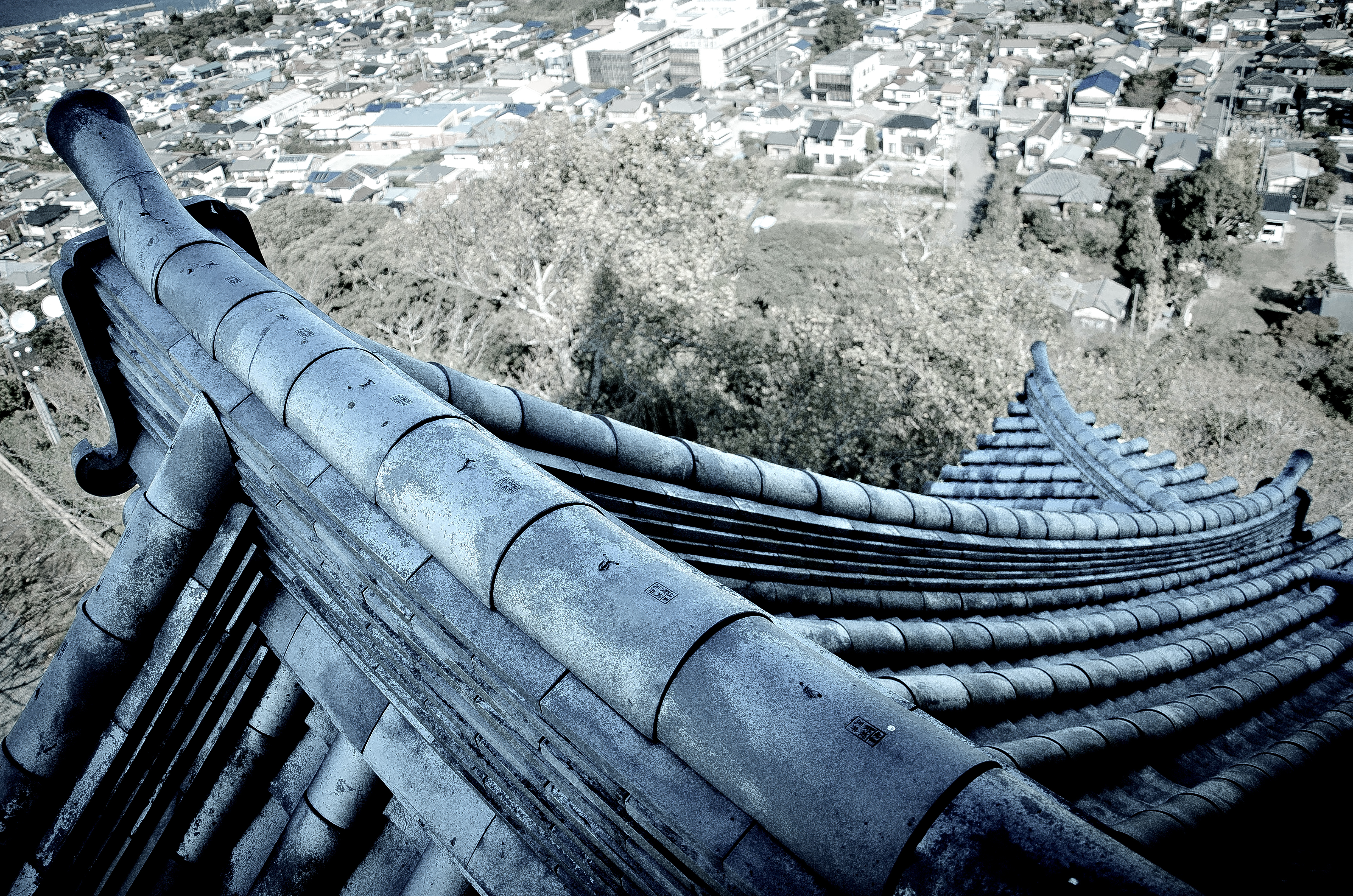
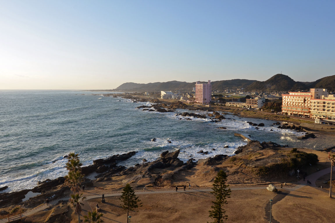
The View of a Daimyo
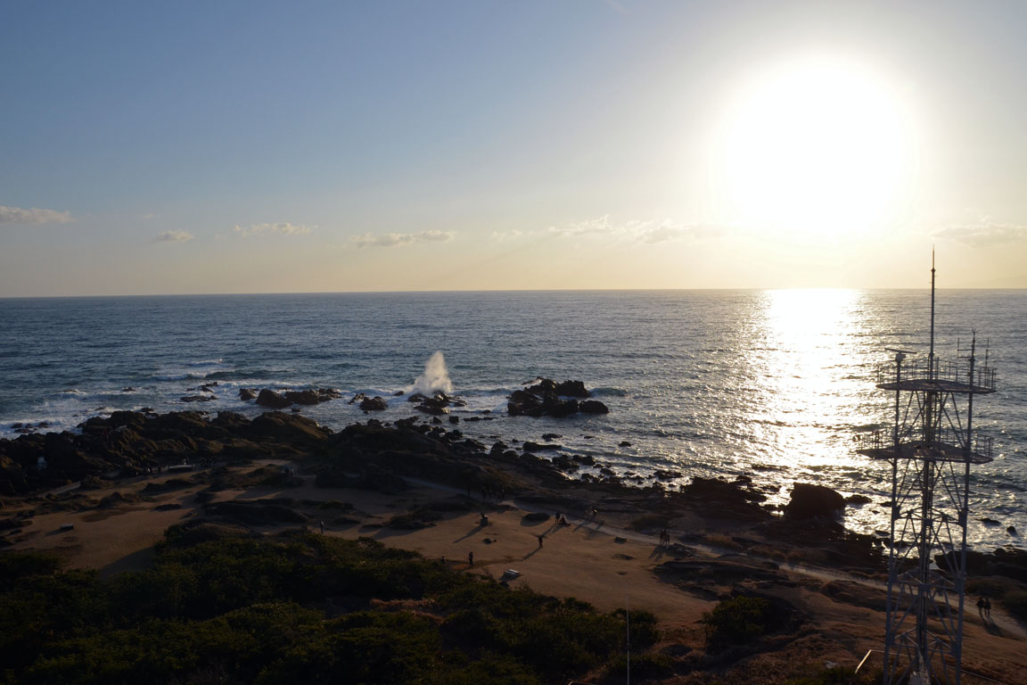
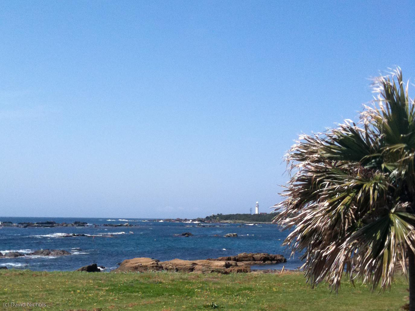
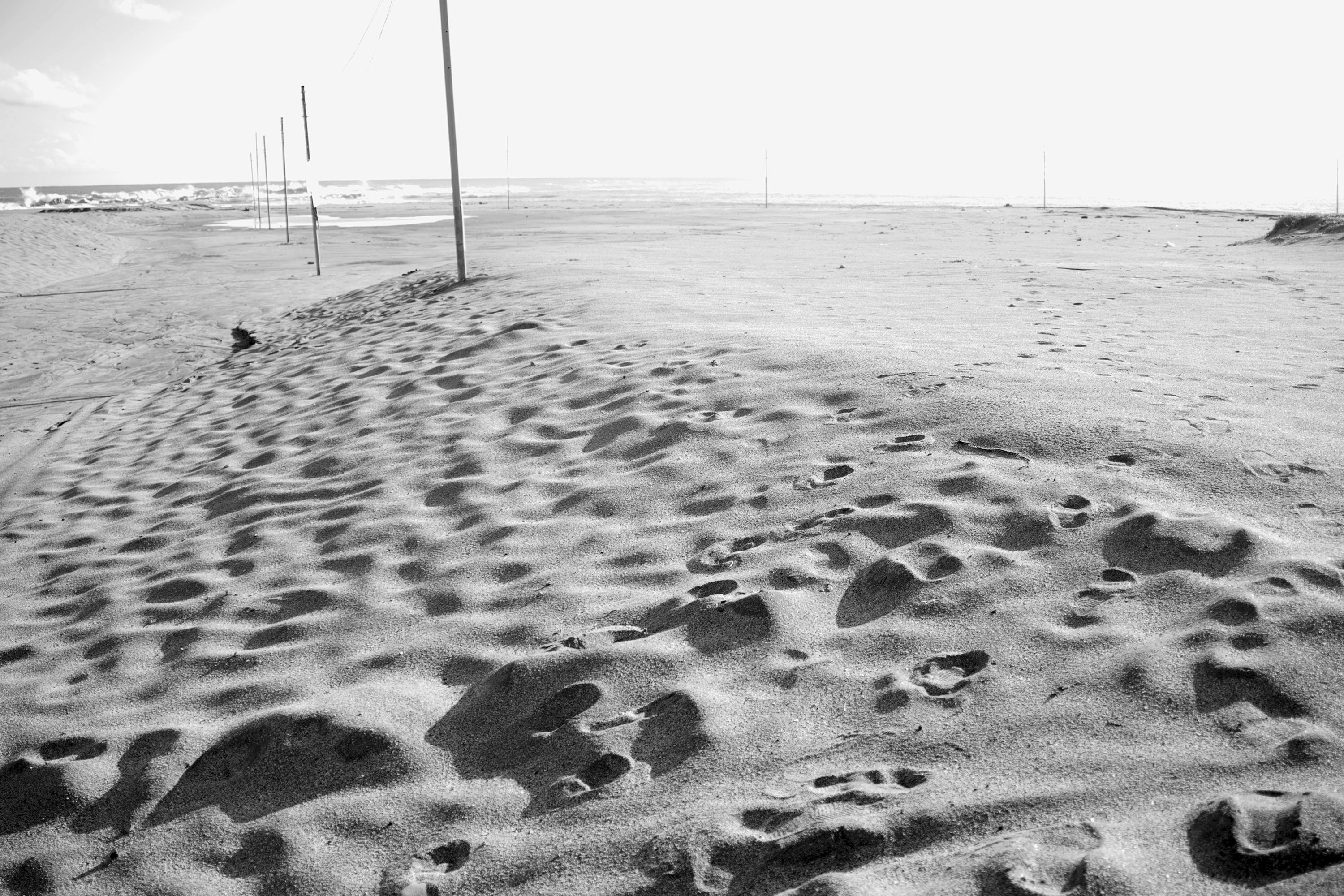
Nojima-zaki, the south end of Boso peninsula
Nojima-zaki, the south end of Boso peninsula

By the end of the day
20100508-IMG_0036
Nojima-zaki, the south end of Boso peninsula

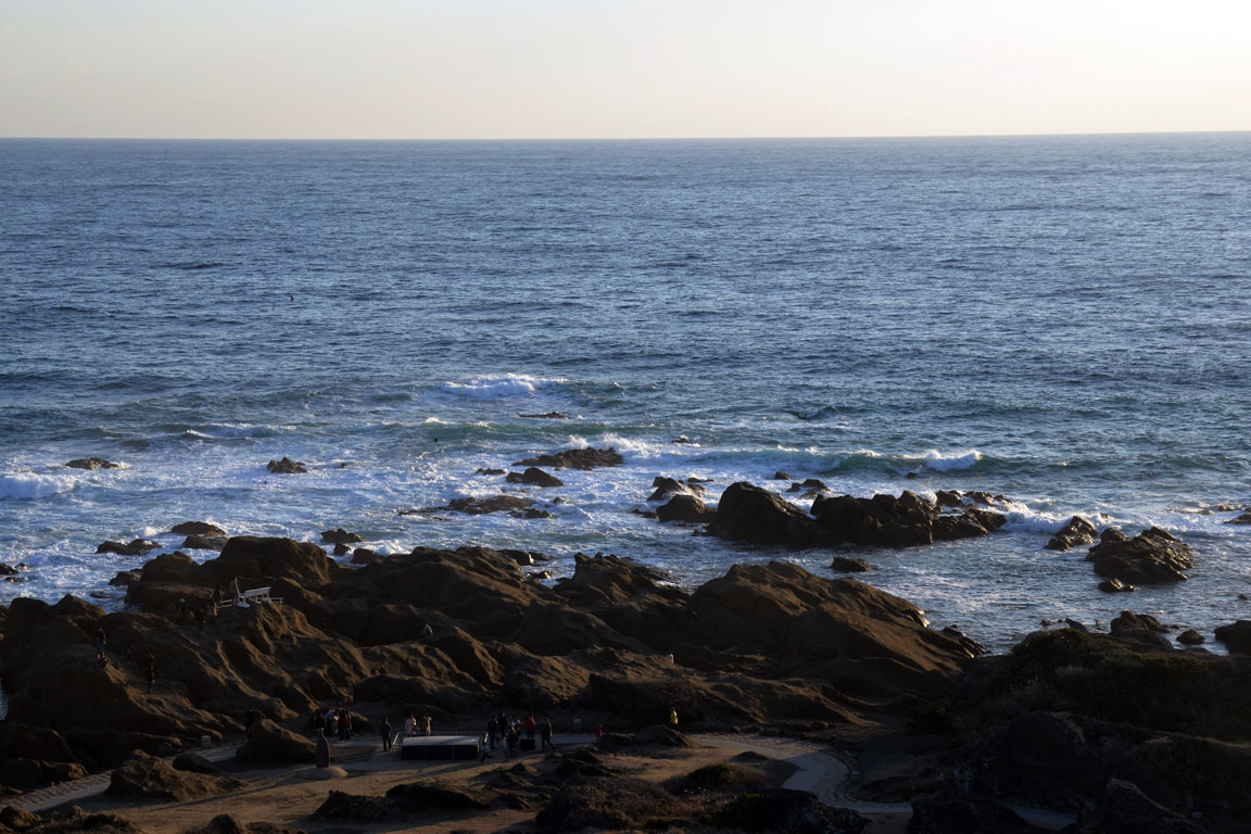
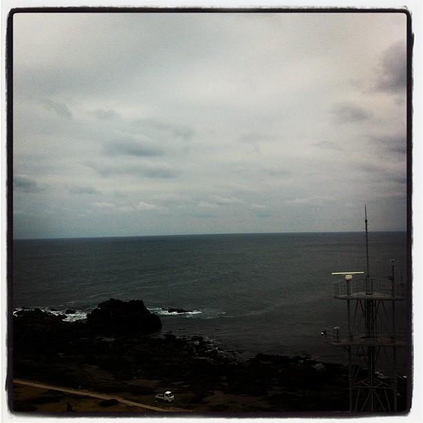
Ocean View
Nojima-zaki, the south end of Boso peninsula

At Hotel
Weekend Seaside
a boundary - an east end

IMG_0886HDR32.jpg

Kyonan-town 1

Diamond Fuji captured at seaside of Minamibousou City
2134
千葉最南端にたどり着いた

Sun rise
ランチ!!
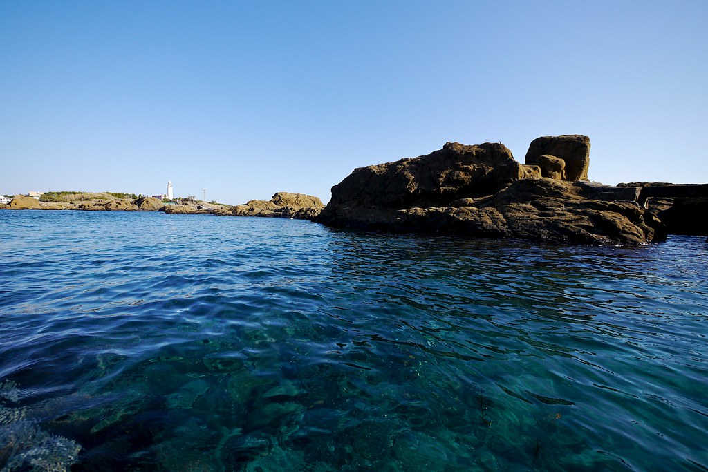
Clear Water

正しい夏休みの少年達(^^;;
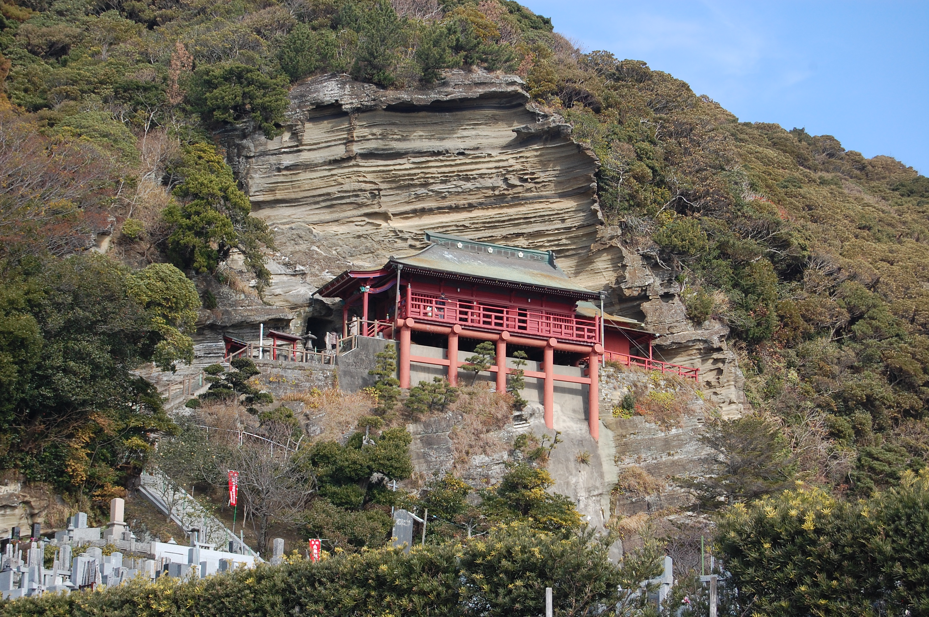
崖ノ観音
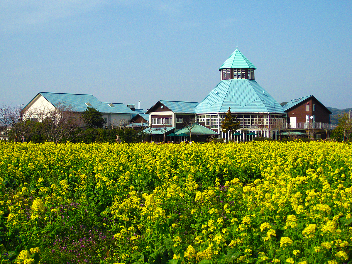
菜の花と枇杷倶楽部 (Rape Blossoms at Roadside Station TOMIURA)
晴れてればな〜
那古山からの鏡ヶ浦
昨日より晴れてよかった。
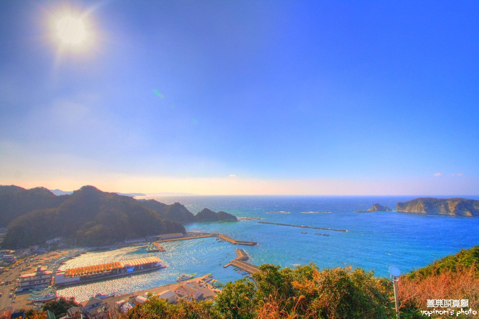
Katsuyama Fishing Port 1
Topographic Map of Tateyama, Chiba Prefecture, Japan
Find elevation by address:

Places in Tateyama, Chiba Prefecture, Japan:
Kamisanagura, Tateyama-shi, Chiba-ken -, Japan
-8 Nagasuka, Tateyama-shi, Chiba-ken -, Japan
-2 Mera, Tateyama-shi, Chiba-ken -, Japan
Places near Tateyama, Chiba Prefecture, Japan:
-8 Nagasuka, Tateyama-shi, Chiba-ken -, Japan
Kamisanagura, Tateyama-shi, Chiba-ken -, Japan
Minamiboso
Ebishiki, Minamibōsō-shi, Chiba-ken -, Japan
-2 Mera, Tateyama-shi, Chiba-ken -, Japan
Hegurinaka, Minamibōsō-shi, Chiba-ken -, Japan
Kyonan
Awa District
Ezuki, Kyonan-machi, Awa-gun, Chiba-ken -, Japan
食堂梅本
55 Kozuka
Futomihama, Kamogawa-shi, Chiba-ken -, Japan
Kamogawa
-11 Misakimachi Jōgashima, Miura-shi, Kanagawa-ken -, Japan
Miura
Misakimachi Jōgashima, Miura-shi, Kanagawa-ken -, Japan
Matsube, Katsuura-shi, Chiba-ken -, Japan
Katsuura
Genya-2 Senzu, Ōshima-machi, Tōkyō-to -, Japan
12-9 Senzu, Ōshima-machi, Tōkyō-to -, Japan
Recent Searches:
- Elevation of W Granada St, Tampa, FL, USA
- Elevation of Pykes Down, Ivybridge PL21 0BY, UK
- Elevation of Jalan Senandin, Lutong, Miri, Sarawak, Malaysia
- Elevation of Bilohirs'k
- Elevation of 30 Oak Lawn Dr, Barkhamsted, CT, USA
- Elevation of Luther Road, Luther Rd, Auburn, CA, USA
- Elevation of Unnamed Road, Respublika Severnaya Osetiya — Alaniya, Russia
- Elevation of Verkhny Fiagdon, North Ossetia–Alania Republic, Russia
- Elevation of F. Viola Hiway, San Rafael, Bulacan, Philippines
- Elevation of Herbage Dr, Gulfport, MS, USA