Elevation of Tara QLD, Australia
Location: Australia > Queensland > Western Downs Regional >
Longitude: 150.457427
Latitude: -27.276831
Elevation: 312m / 1024feet
Barometric Pressure: 98KPa
Elevation Map:
Satellite Map:
Related Photos:

Rail Step Jeans

Silo Clouds Track
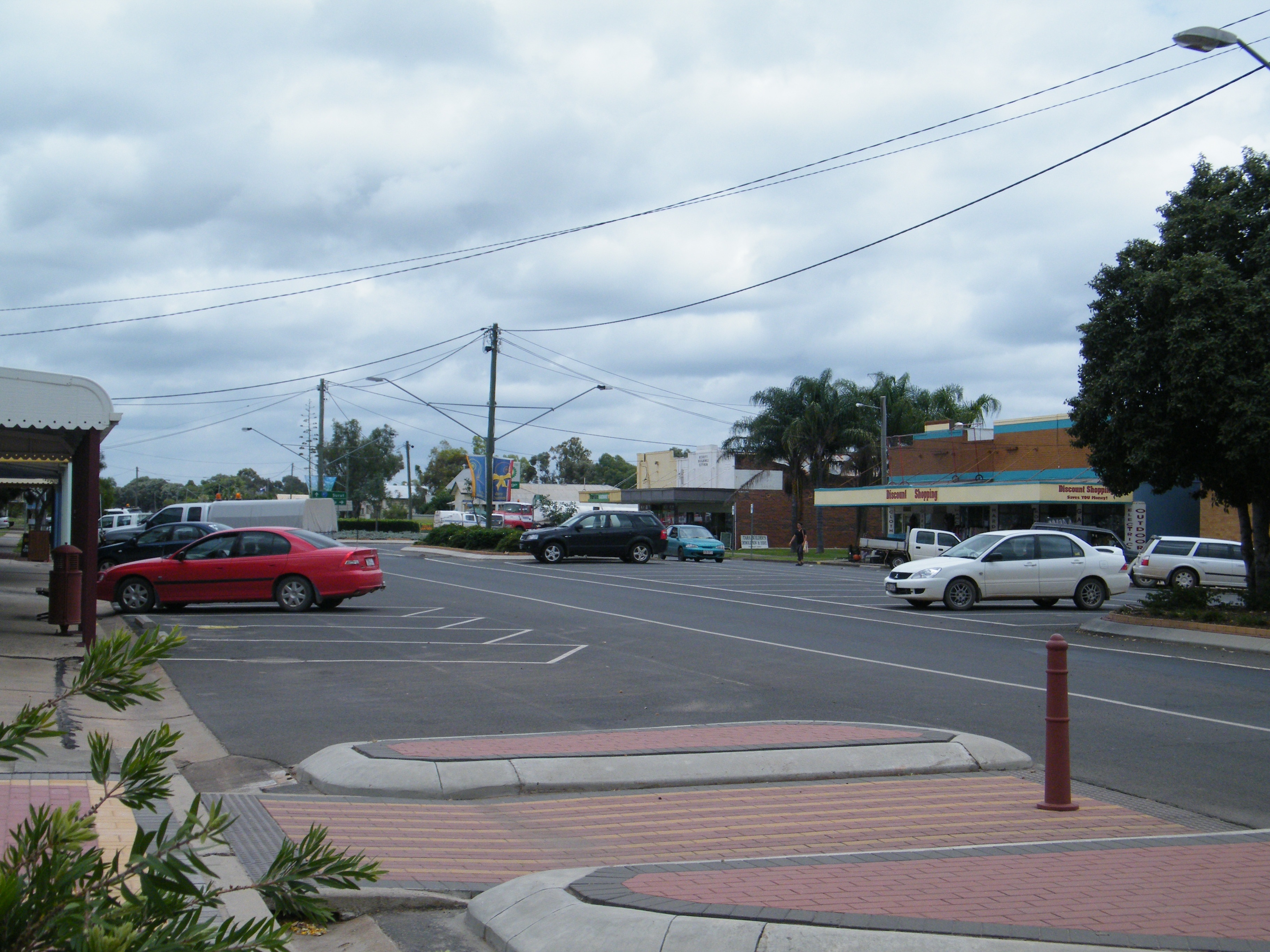
Tara Main Street West

Tara Main Street East

Commercial Hotel, Tara

Tara Rail Sign
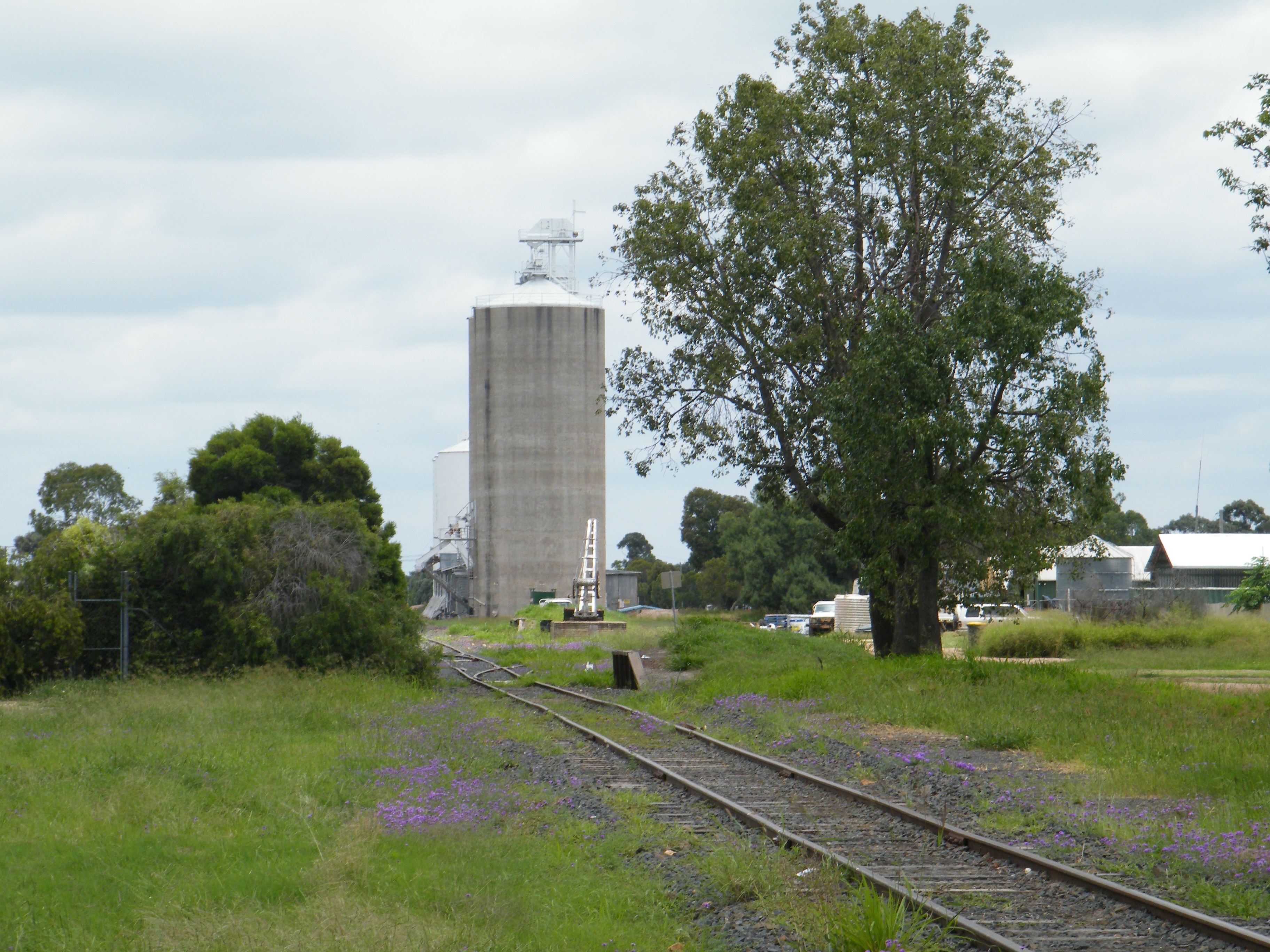
Grass Silo Rail
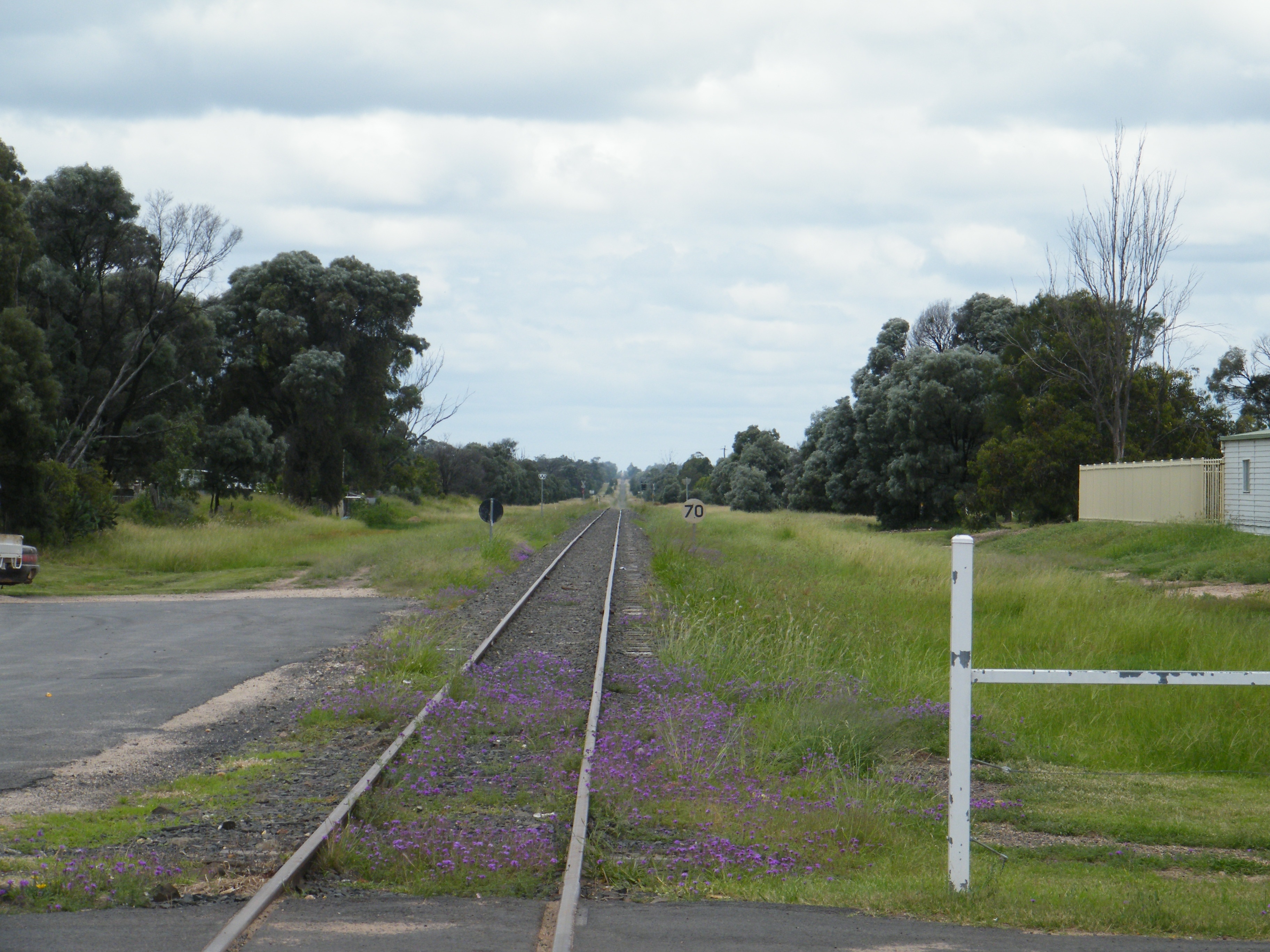
Out of Town

Corn Grows Tall

Passenger Terminal @ Tara Airport, Queensland

2389, 2308 at Tiaro Queensland

Tara Streets 003

Tara Streets 002

Tara Streets 001

Sheep and Lamb 03

Sheep and Lamb 002

Sheep and Lamb 001

Chook Pen 03

Chook Pen 02

Chook Pen 01
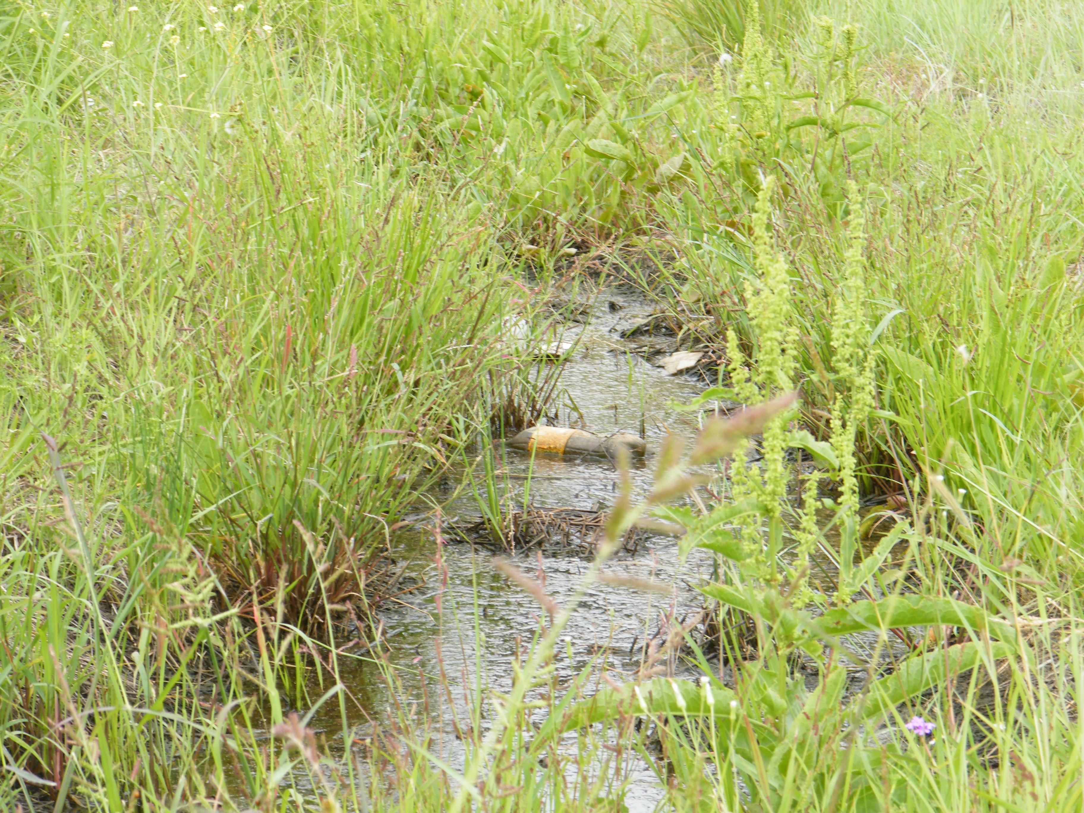
Railway Creek Litter
Topographic Map of Tara QLD, Australia
Find elevation by address:

Places near Tara QLD, Australia:
59 Day St
56 Smallacombe St
1 Bilton St
19 Day St
14 Binnie St
Smallacombe Street
19 Porter St
1 Day St
19 Smallacombe St
Baddleys Road
Baddleys Road
Western Downs Regional
Recent Searches:
- Elevation of 6 Muir St, Medowie NSW, Australia
- Elevation of Woodland Road, Woodland Rd, Lee, MA, USA
- Elevation of Turner Mill Rd, Talladega, AL, USA
- Elevation of Wylie Ridge Rd, New Cumberland, WV, USA
- Elevation of Dogwood Ln, Millsboro, DE, USA
- Elevation of Paseo Lucido, San Diego, CA, USA
- Elevation of W S, Orem, UT, USA
- Elevation of Water Bird Wy, Punta Gorda, FL, USA
- Elevation of Teiskontie 8, Tampere, Finland
- Elevation of Pacific View Dr, Malibu, CA, USA