Elevation of Tappahannock, VA, USA
Location: United States > Virginia > Essex County >
Longitude: -76.860565
Latitude: 37.9242186
Elevation: 10m / 33feet
Barometric Pressure: 101KPa
Elevation Map:
Satellite Map:
Related Photos:
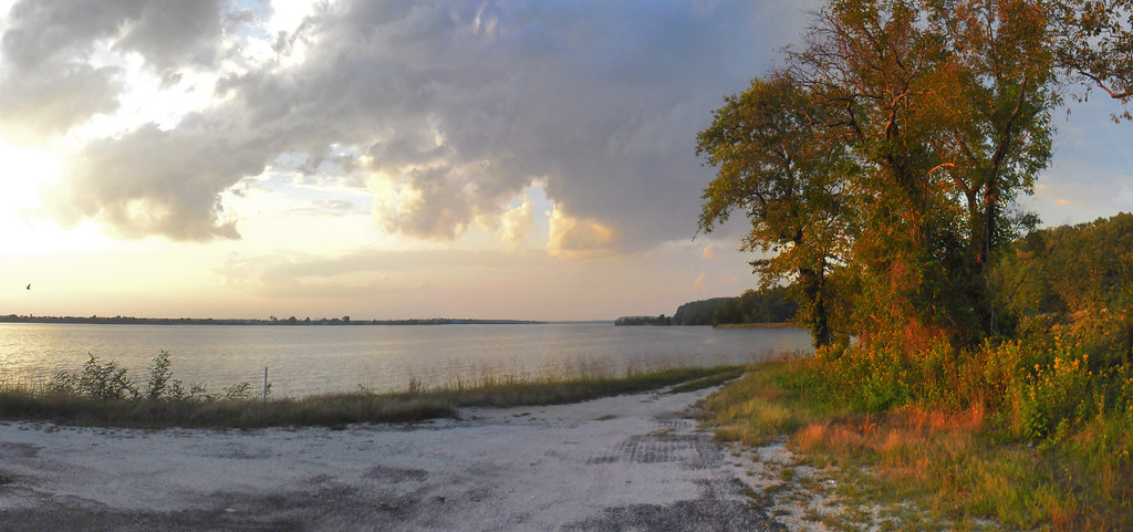
View of the Rappahannock River at Jones Creek
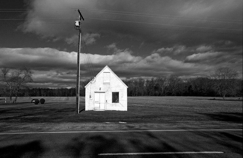
Outside Tappahannock
Menokin Cellar

Tappahannock Methodist Church
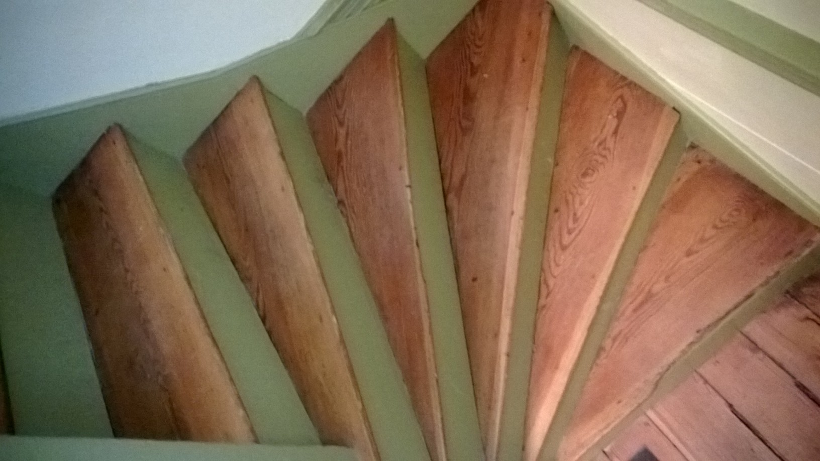
Pie-shaped stairs view
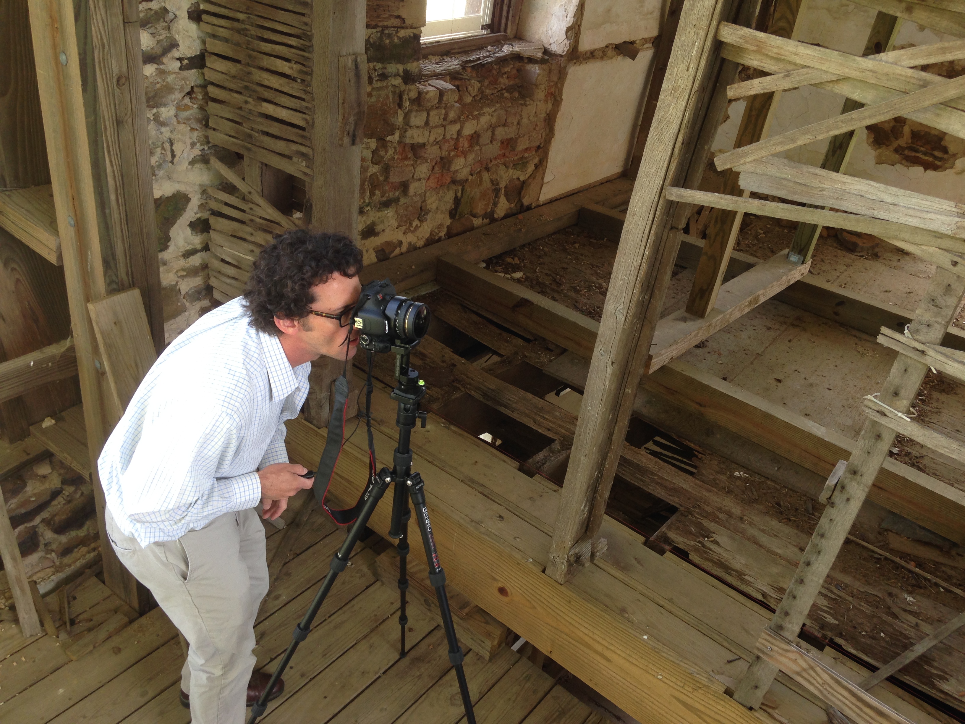
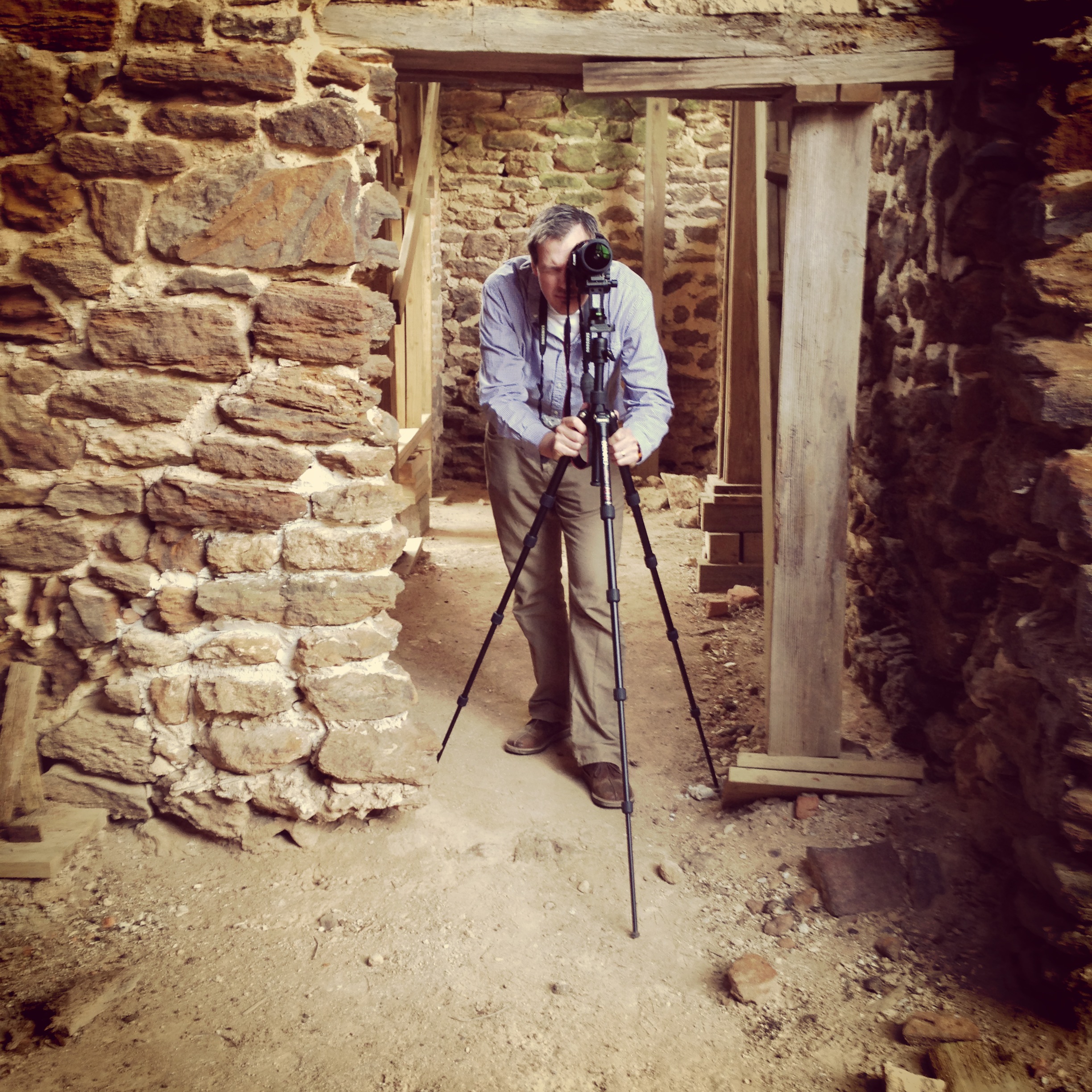
Capturing Google Street View Panoramas at Menokin

2009JEK0220620.jpg

2009JEK0220623.jpg
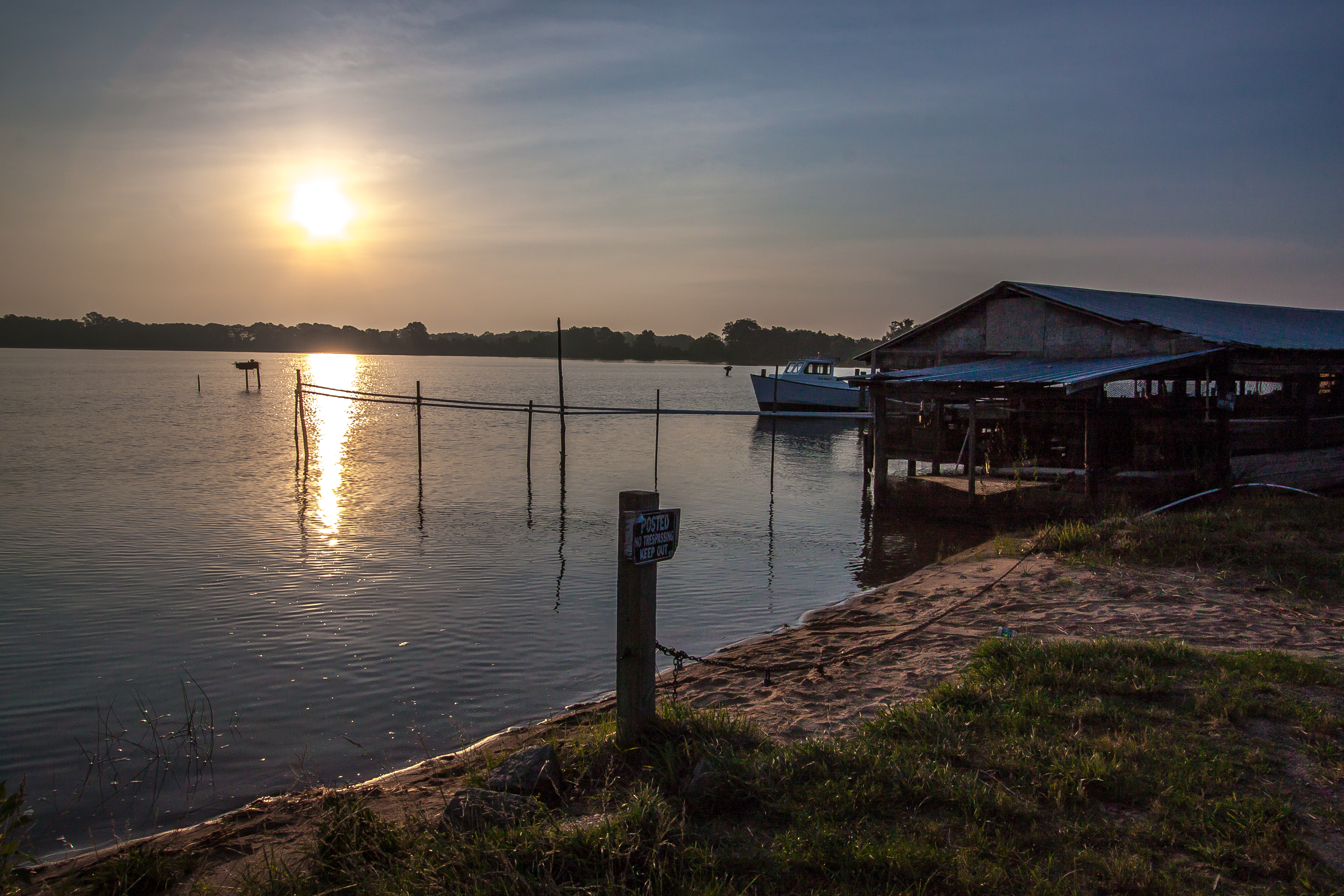
Sunrise Over Cat Point Creek
I don't mind being stuck on a bridge if it's a bridge over the Rappahannock.... ☀️
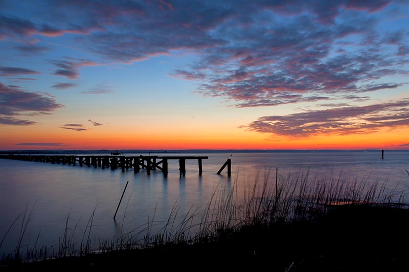
Rappahannock River Sunrise I
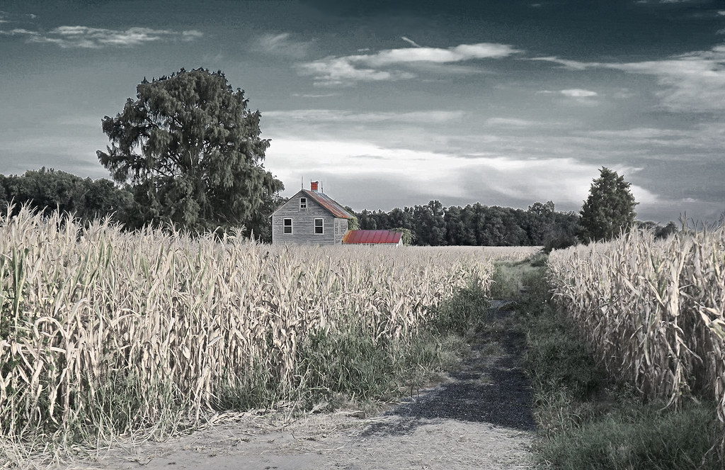
Abandoned to the Corn

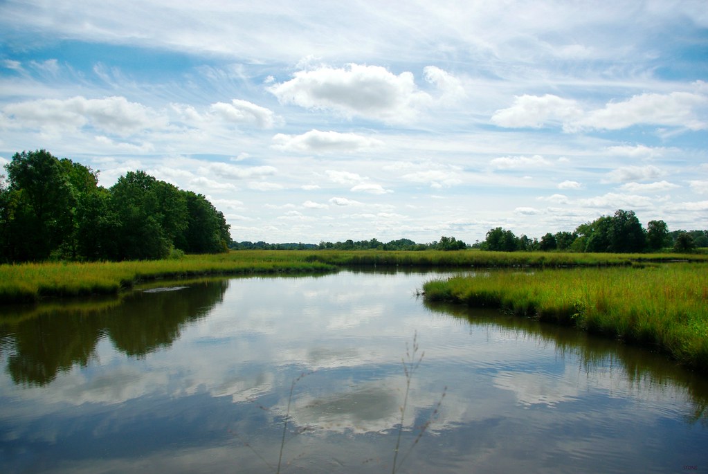
Rappahannock River Valley NWR

Rappahannock River Valley NWR

Rappahannock River Valley NWR

early morning at Mahockney
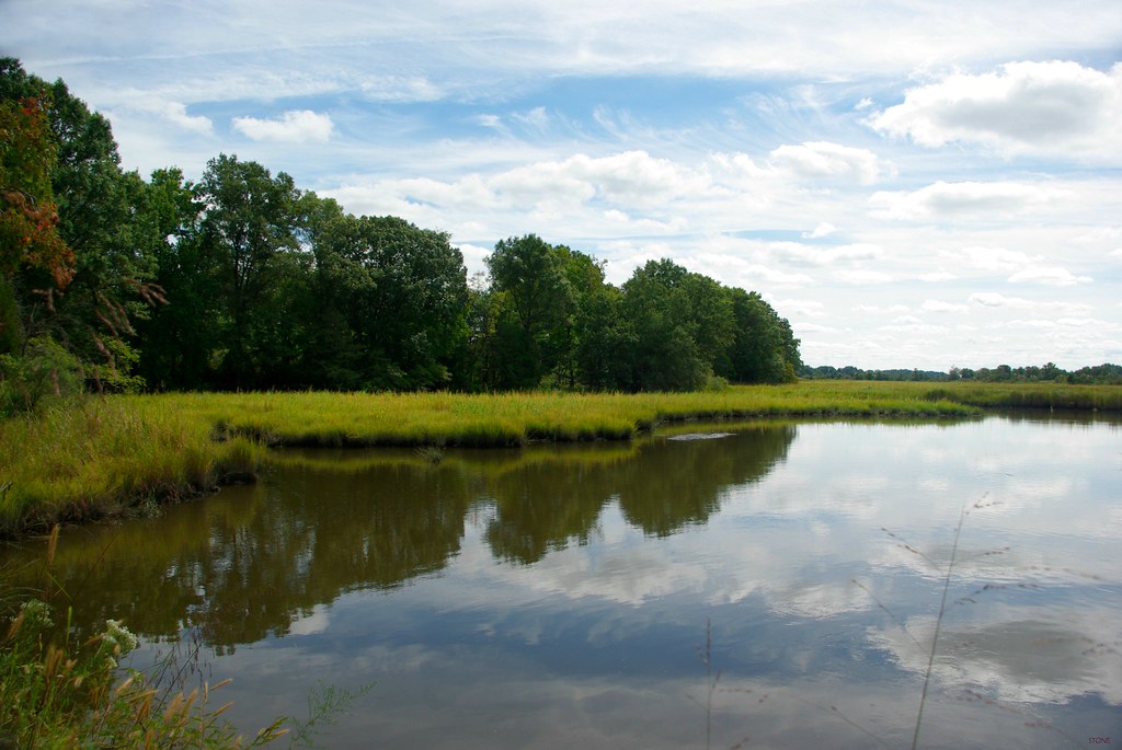
The Marsh
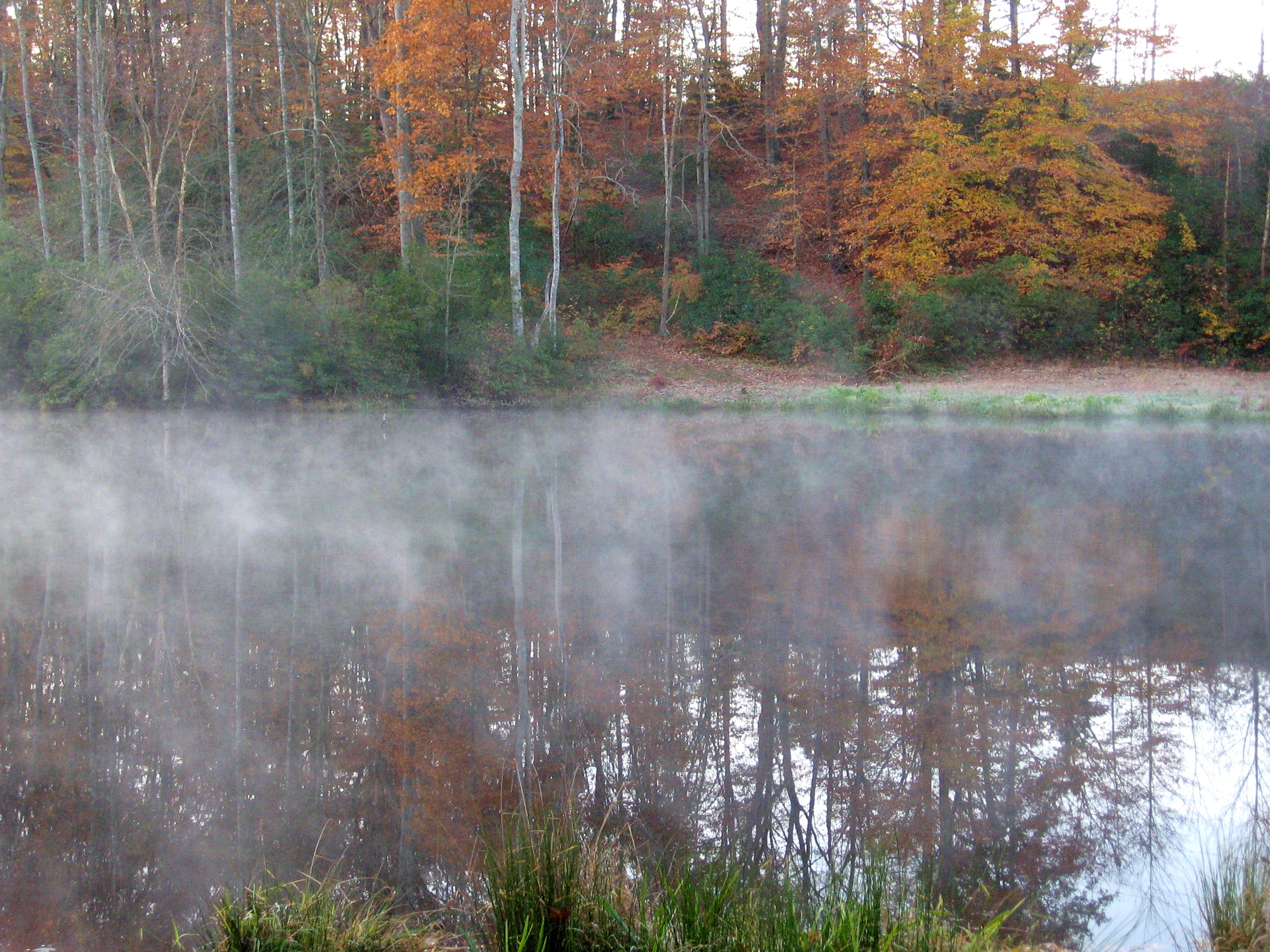
down at the lake, early morning
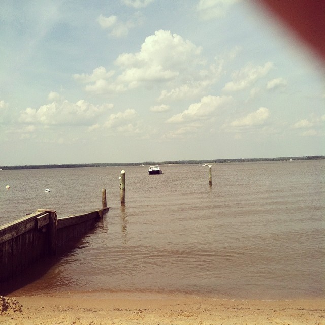
FINALLY MADE IT TO THE BEACH!!!! Better late than never!
The Marsh
Big sky at Mahockney

Rappahannock River Valley NWR

Rappahannock River Valley NWR

Rappahannock River Valley NWR

Demonstrating Soil and Water Quality Practices at Midway Farms

Reflections in Skye Pond

Demonstrating Soil and Water Quality Practices at Midway Farms

Under a Cloud-Gray Sky
Topographic Map of Tappahannock, VA, USA
Find elevation by address:

Places in Tappahannock, VA, USA:
Places near Tappahannock, VA, USA:
Tappahannock
621 Cralle Ave
1616 Tappahannock Blvd
Mt Landing Rd, Tappahannock, VA, USA
556 Riverdale Rd
23500 Us-17
215 Clements Dr
Island Farm Rd, Tappahannock, VA, USA
River Pl, Dunnsville, VA, USA
26275 Tidewater Trail
Mt Landing Rd, Tappahannock, VA, USA
2917 Richmond Hwy
Central
128 Hope Ln
Dunnsville
Dunnsville
Dunnsville
Dunnsville
Dunnsville
Dunnsville
Recent Searches:
- Elevation of Bernina Dr, Lake Arrowhead, CA, USA
- Elevation of N 82nd Pl, Mesa, AZ, USA
- Elevation of Snake Hill Rd, North Scituate, RI, USA
- Elevation of Lake Shore Dr, Warwick, RI, USA
- Elevation of E Brightview Ave, Pittsburgh, PA, USA
- Elevation of Cavendish Rd, Harringay Ladder, London N4 1RR, UK
- Elevation of 1 Zion Park Blvd, Springdale, UT, USA
- Elevation of Ganderbal
- Elevation map of Konkan Division, Maharashtra, India
- Elevation of Netaji Nagar, Hallow Pul, Kurla, Mumbai, Maharashtra, India