Elevation of Tanner Ln, Walker, WV, USA
Location: United States > West Virginia > Wood County > Clay >
Longitude: -81.456104
Latitude: 39.1568183
Elevation: 196m / 643feet
Barometric Pressure: 99KPa
Elevation Map:
Satellite Map:
Related Photos:

wade senior portrait 4
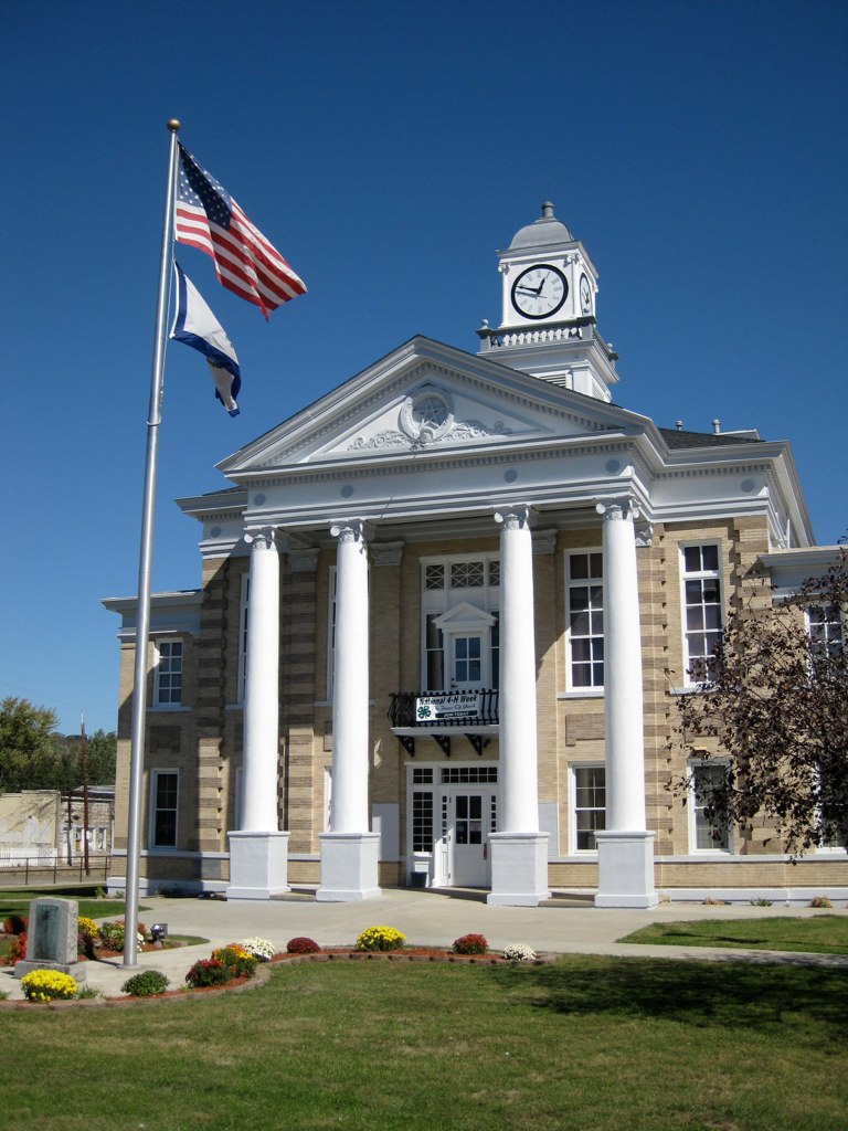
Wirt County Courthouse Elizabeth, West Virginia
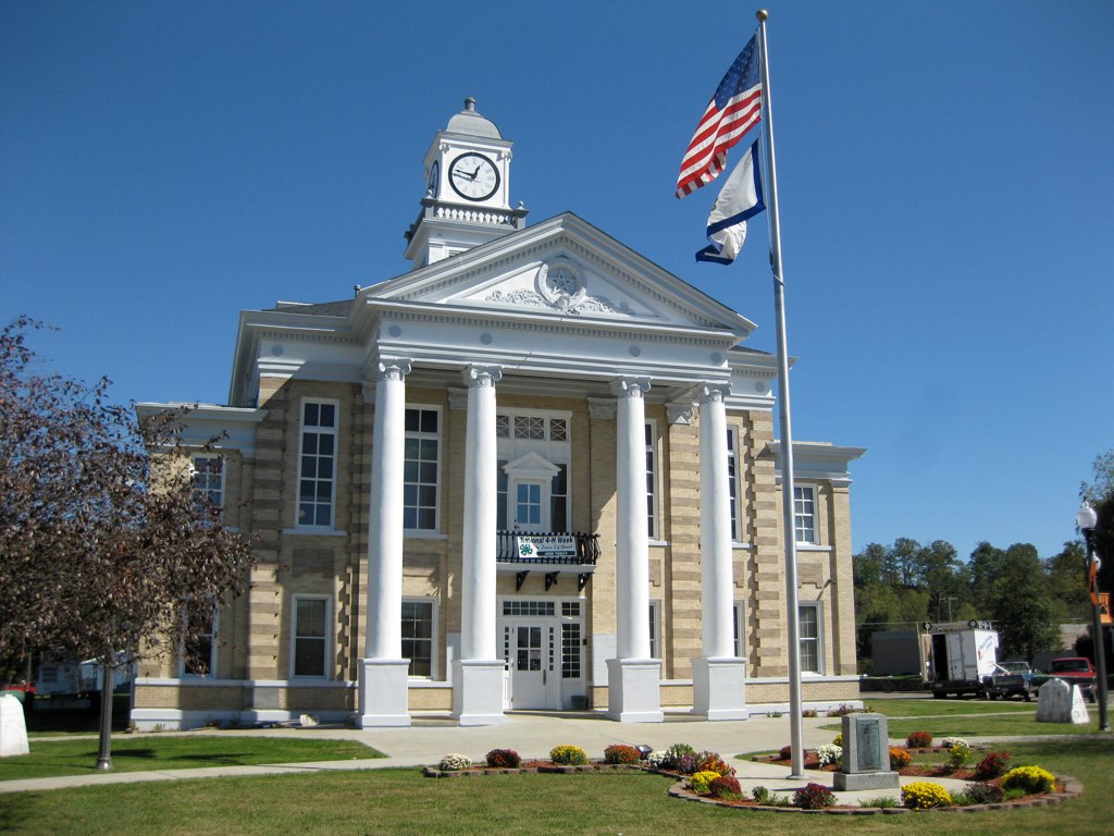
Wirt County Courthouse

Wirt Courthouse Tower
My hometown has a floodwall
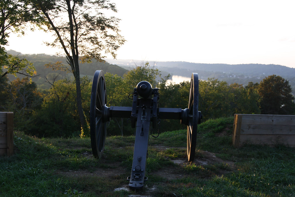
Canon's View
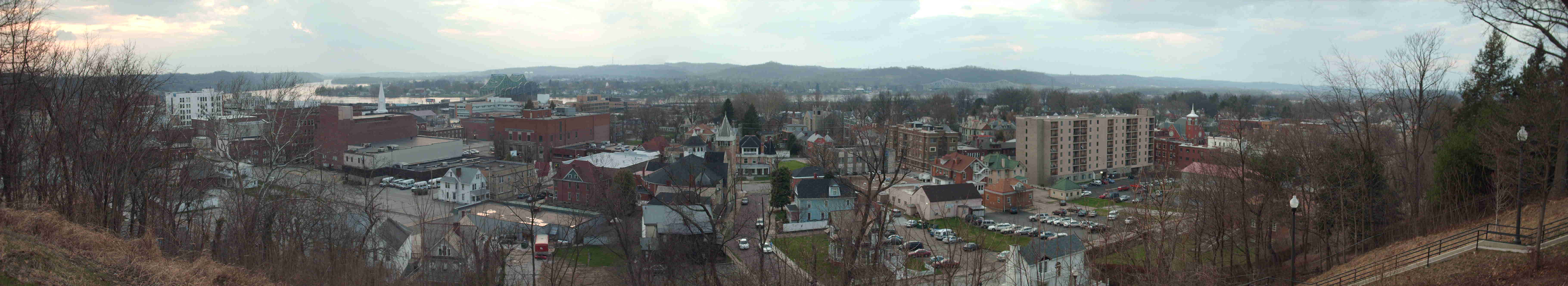
Downtown Parkersburg at sunset as viewed from Ft. Boreman
Parkersburg-Belpre Bridge at Night II

wade at sunset 1
Downtown Parkersburg, WV
panorama - point park1

Sunset on the Ohio River
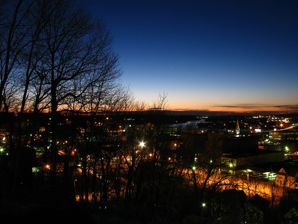
Overlooking Parkersburg at Night.
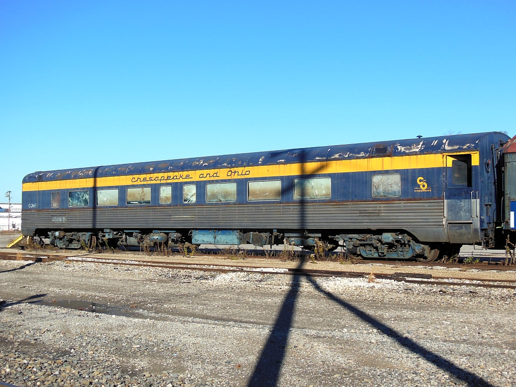
C&O 1658
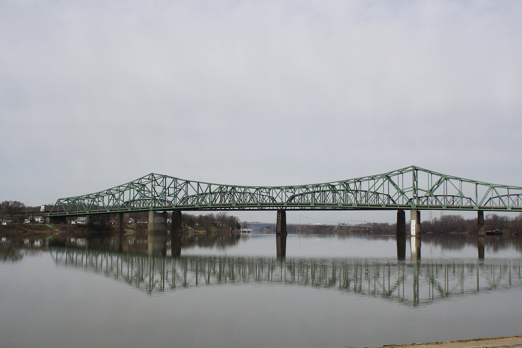
Belpre Bridge
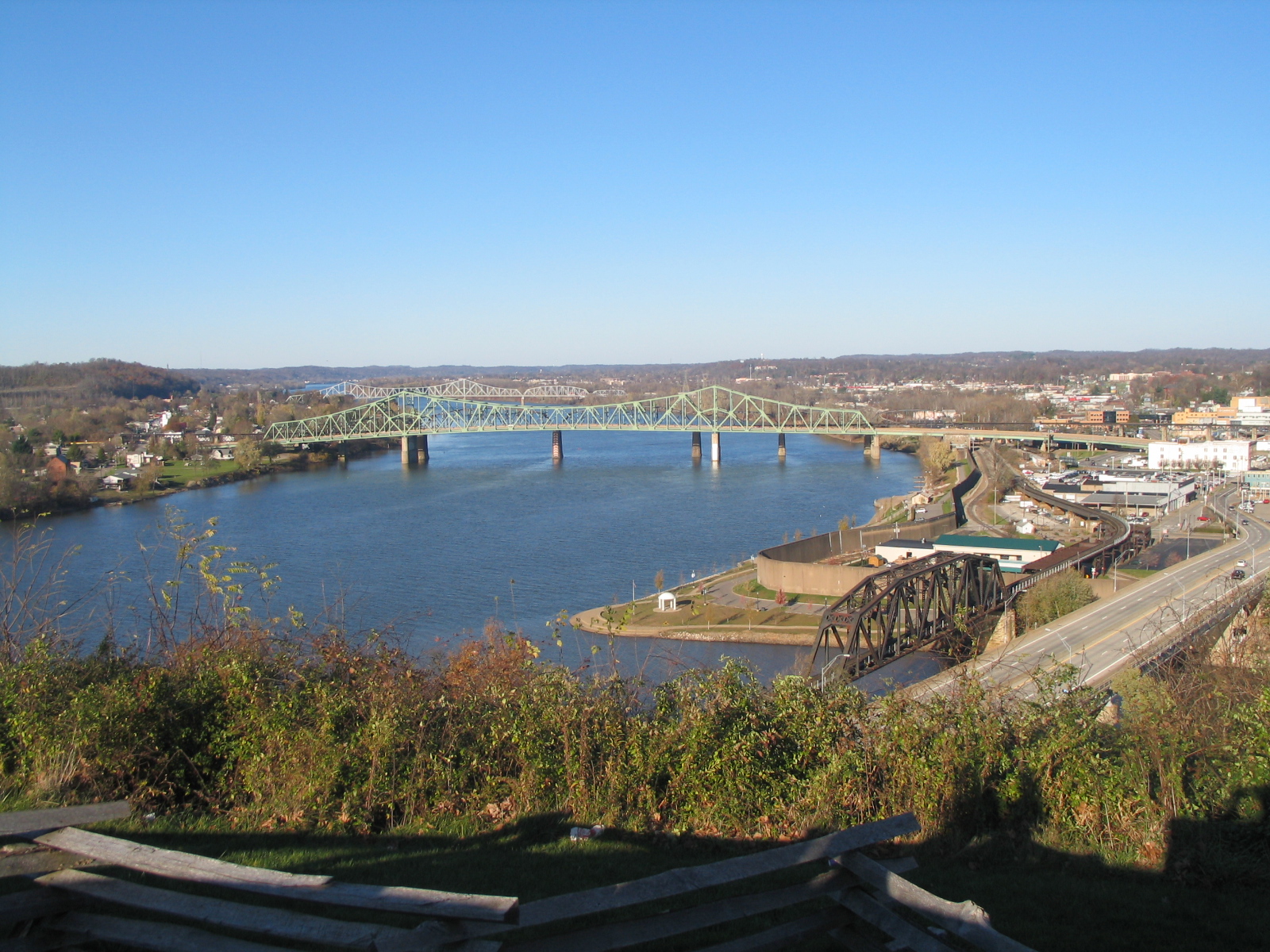
Fort Boreman Park Parkersburg, WV
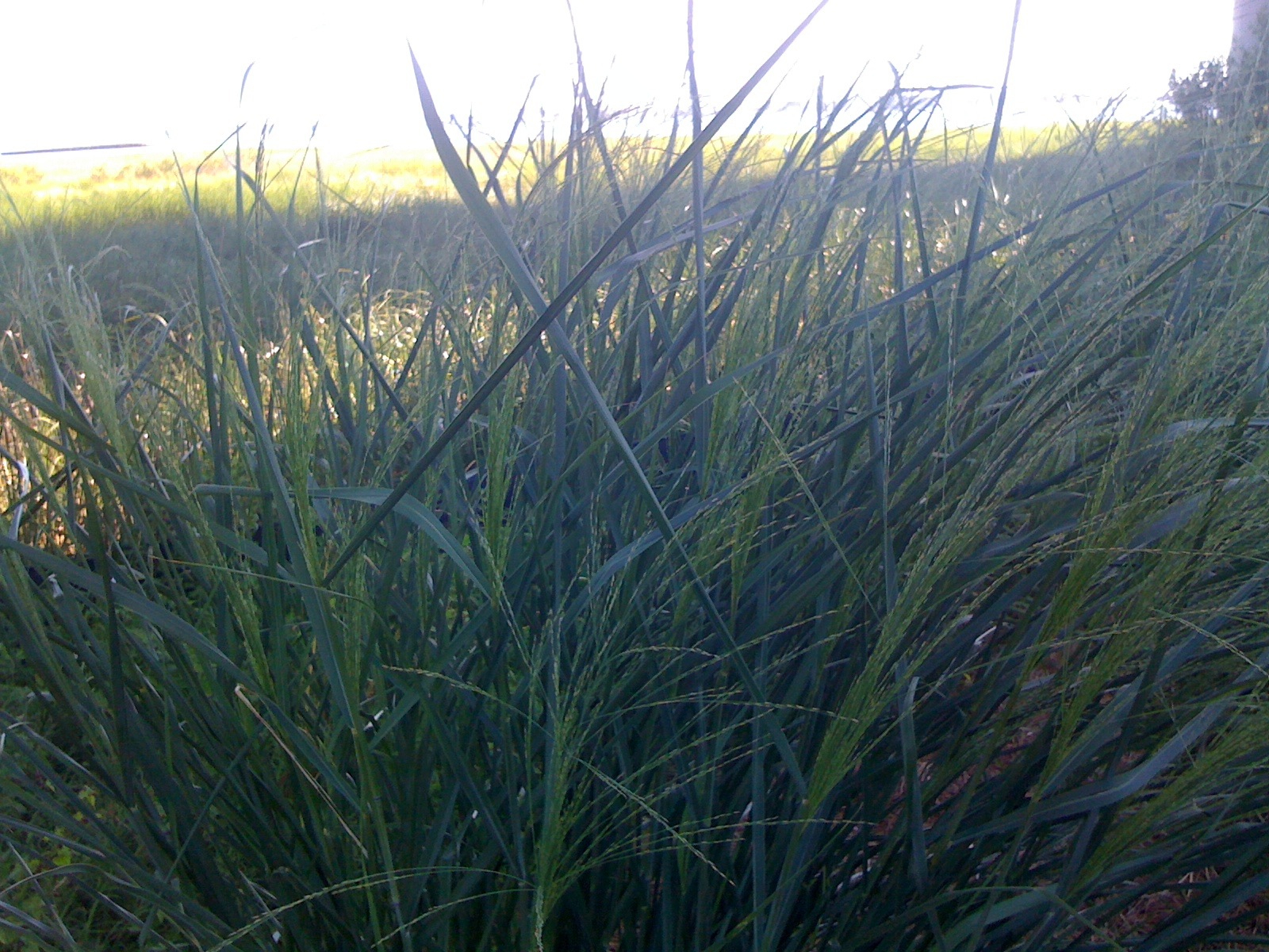
Grass view
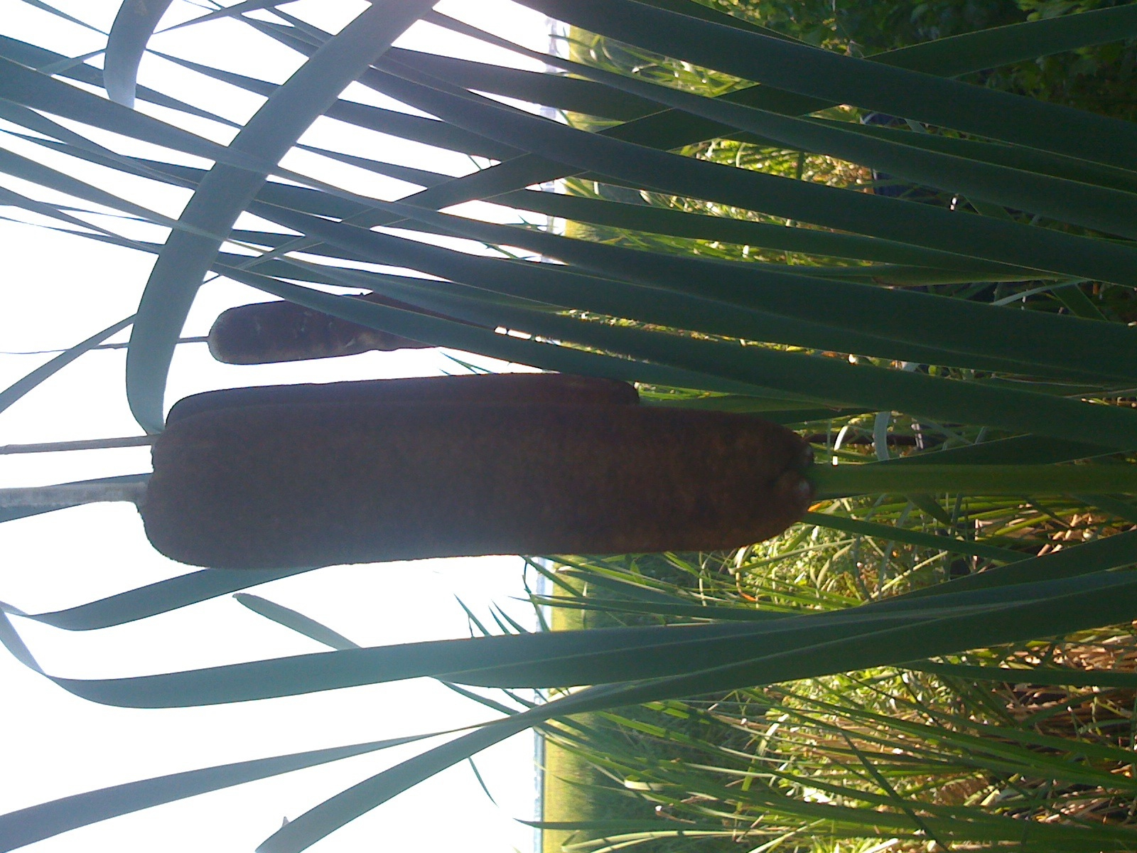
Willow branch view

Fort Boreman Park Parkersburg, WV
panorama - quincy2
Lock Road
Dusk over the Ohio River
Up Close with the Lone Tree
Florence Dairy Barn

Old Shed
Up The Ohio River
Photomatix HDR

West Virginia Trip June 2003 069

Sunset @ CRF

Autumn Stalks
Almost Heaven - West Virginia

Sunday morning on the OH, Rr
Wild and wonderful #sunset #reflection #sky #clouds #cloudporn #winter #westvirginia #wv #instagood #iphonesia #photooftheday

the field

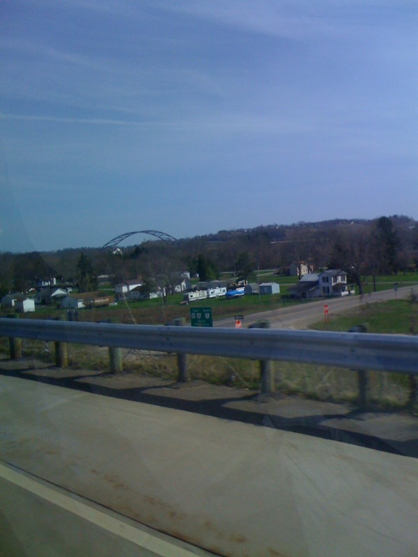
Parkersburg Bridge

Belpre Bridge
Another day comes to a close.
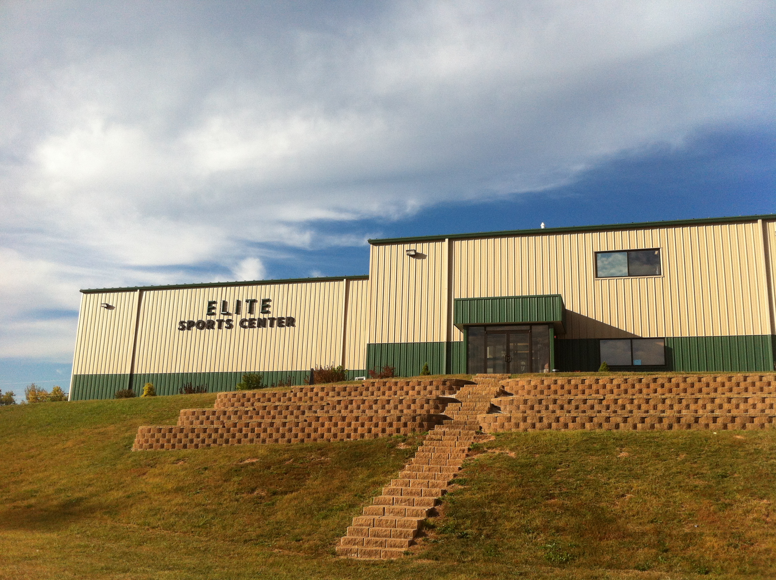
Elite Sports Center Parkersburg, WV
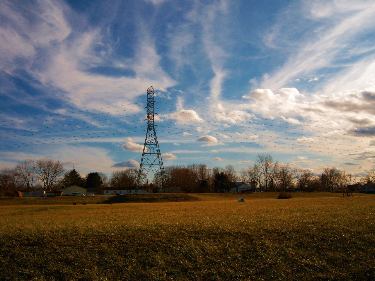
Power Line Near The Viscoes

Barge!
Topographic Map of Tanner Ln, Walker, WV, USA
Find elevation by address:

Places near Tanner Ln, Walker, WV, USA:
Slate
Society Hill Rd, Mineral Wells, WV, USA
Elizabeth Pike, Mineral Wells, WV, USA
Mineral Wells
Northeast
215 Woodridge Dr
204 Plantation Dr
Walker
Buck Run Rd, Mineral Wells, WV, USA
1865 Black Diamond Rd
28 Ballards Run Rd, Elizabeth, WV, USA
Rockport
Wirt County
Palestine
24 Science Hill Rd, Elizabeth, WV, USA
Staunton Tpke, Petroleum, WV, USA
Petroleum
Racy Rd, Petroleum, WV, USA
Laurel Run
Recent Searches:
- Elevation of Corso Fratelli Cairoli, 35, Macerata MC, Italy
- Elevation of Tallevast Rd, Sarasota, FL, USA
- Elevation of 4th St E, Sonoma, CA, USA
- Elevation of Black Hollow Rd, Pennsdale, PA, USA
- Elevation of Oakland Ave, Williamsport, PA, USA
- Elevation of Pedrógão Grande, Portugal
- Elevation of Klee Dr, Martinsburg, WV, USA
- Elevation of Via Roma, Pieranica CR, Italy
- Elevation of Tavkvetili Mountain, Georgia
- Elevation of Hartfords Bluff Cir, Mt Pleasant, SC, USA