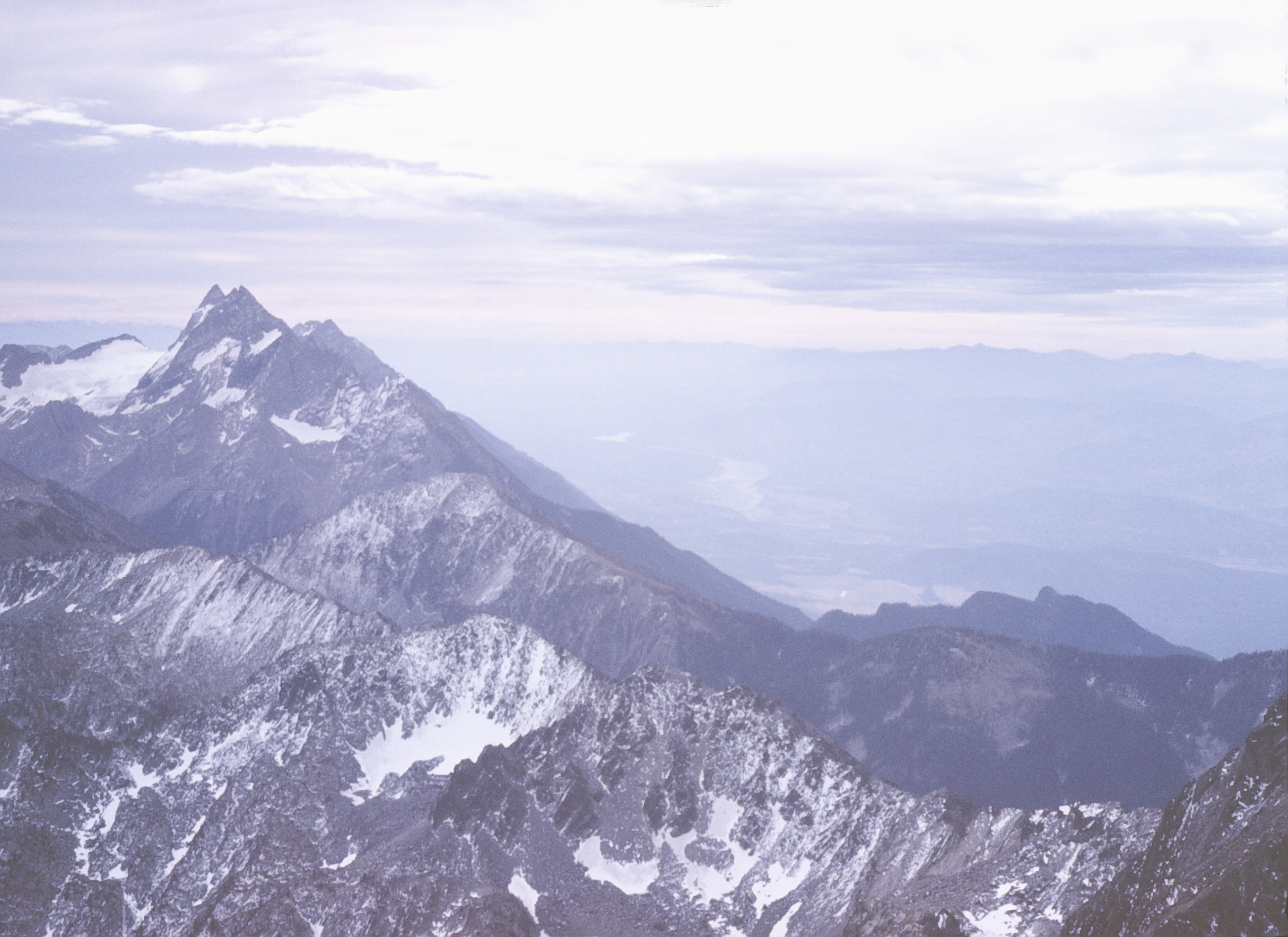
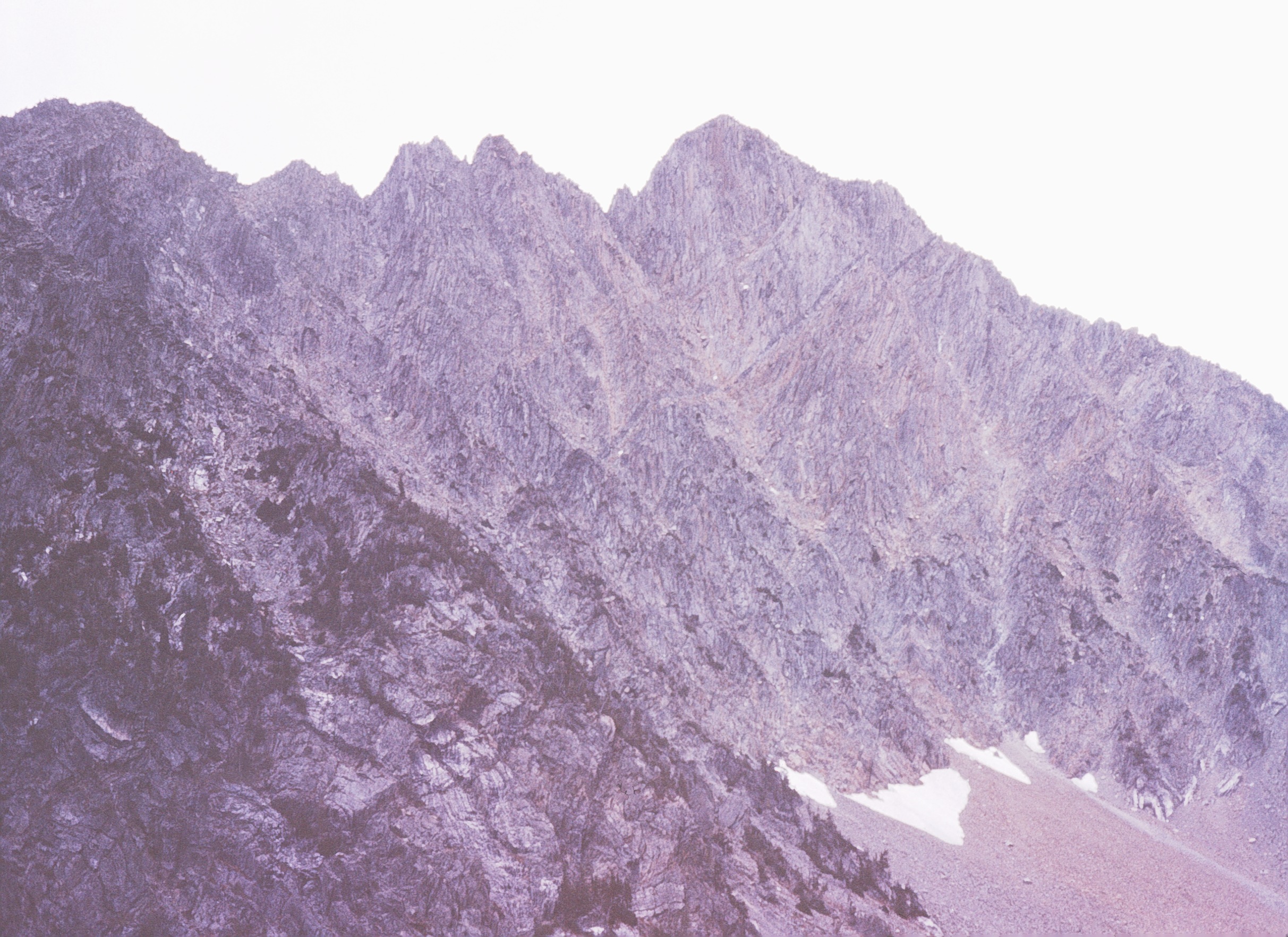
Elevation of Tanglefoot Peak, East Kootenay C, BC V0B, Canada
Location: Canada > British Columbia > East Kootenay > East Kootenay C >
Longitude: -115.37111
Latitude: 49.6980555
Elevation: 2527m / 8291feet
Barometric Pressure: 74KPa
Elevation Map:
Satellite Map:
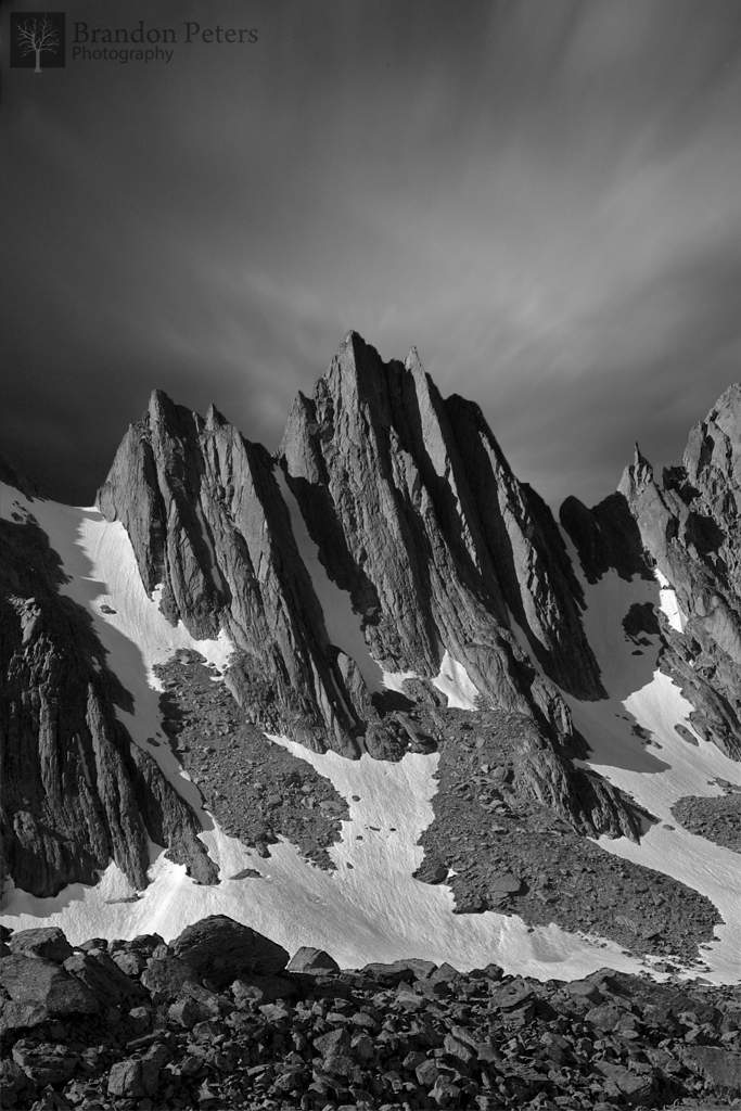
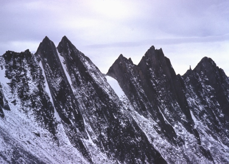
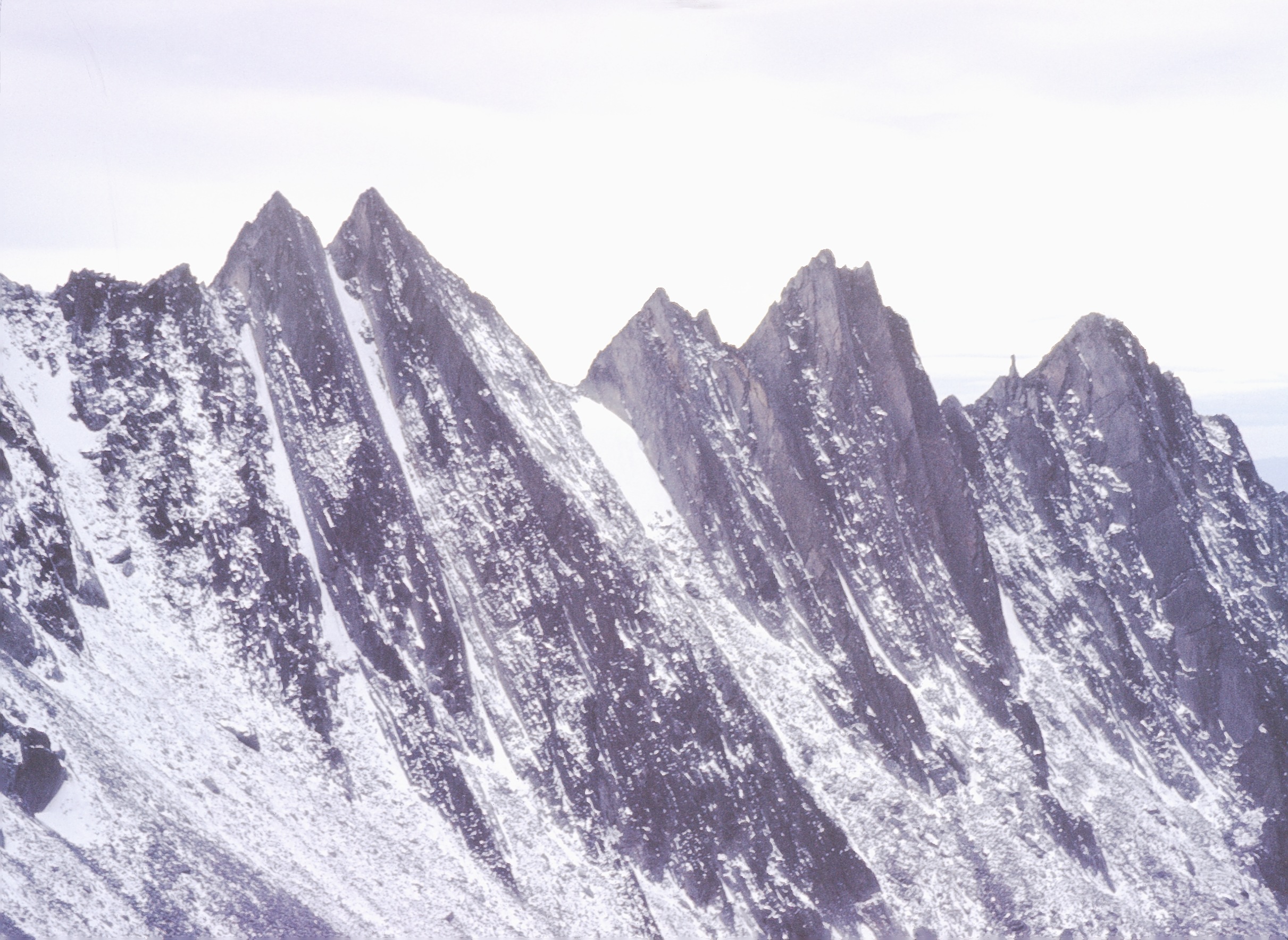
Related Photos:

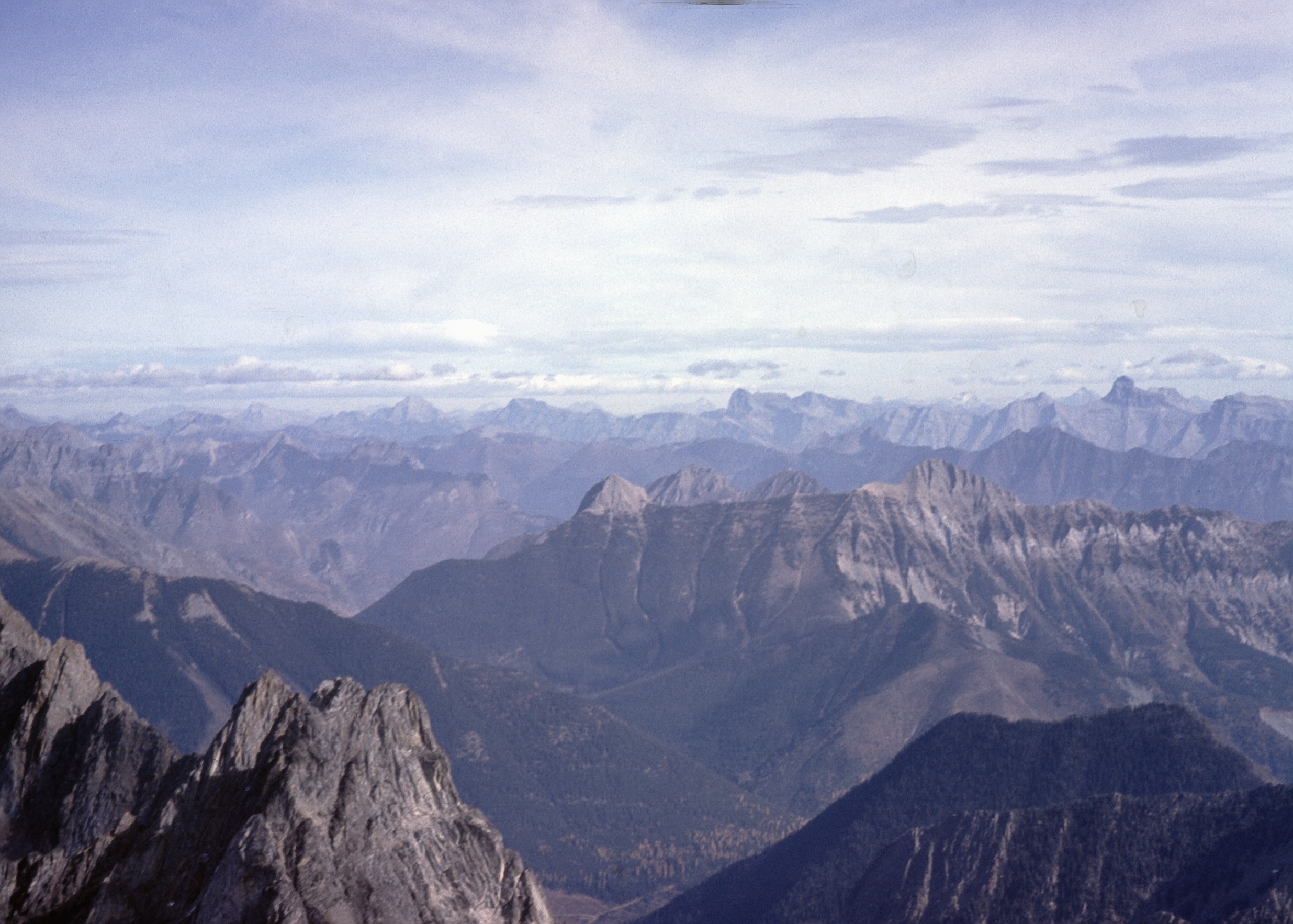
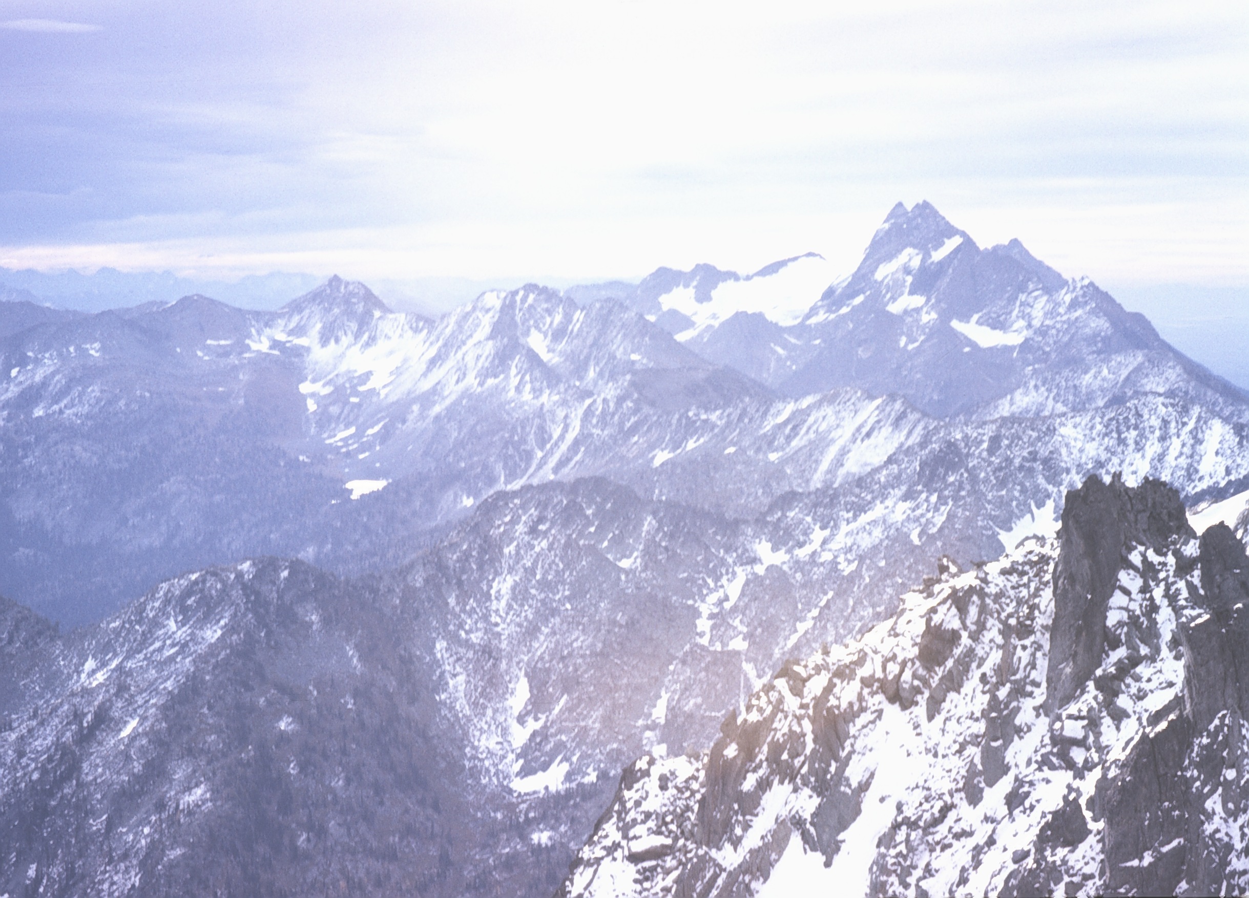
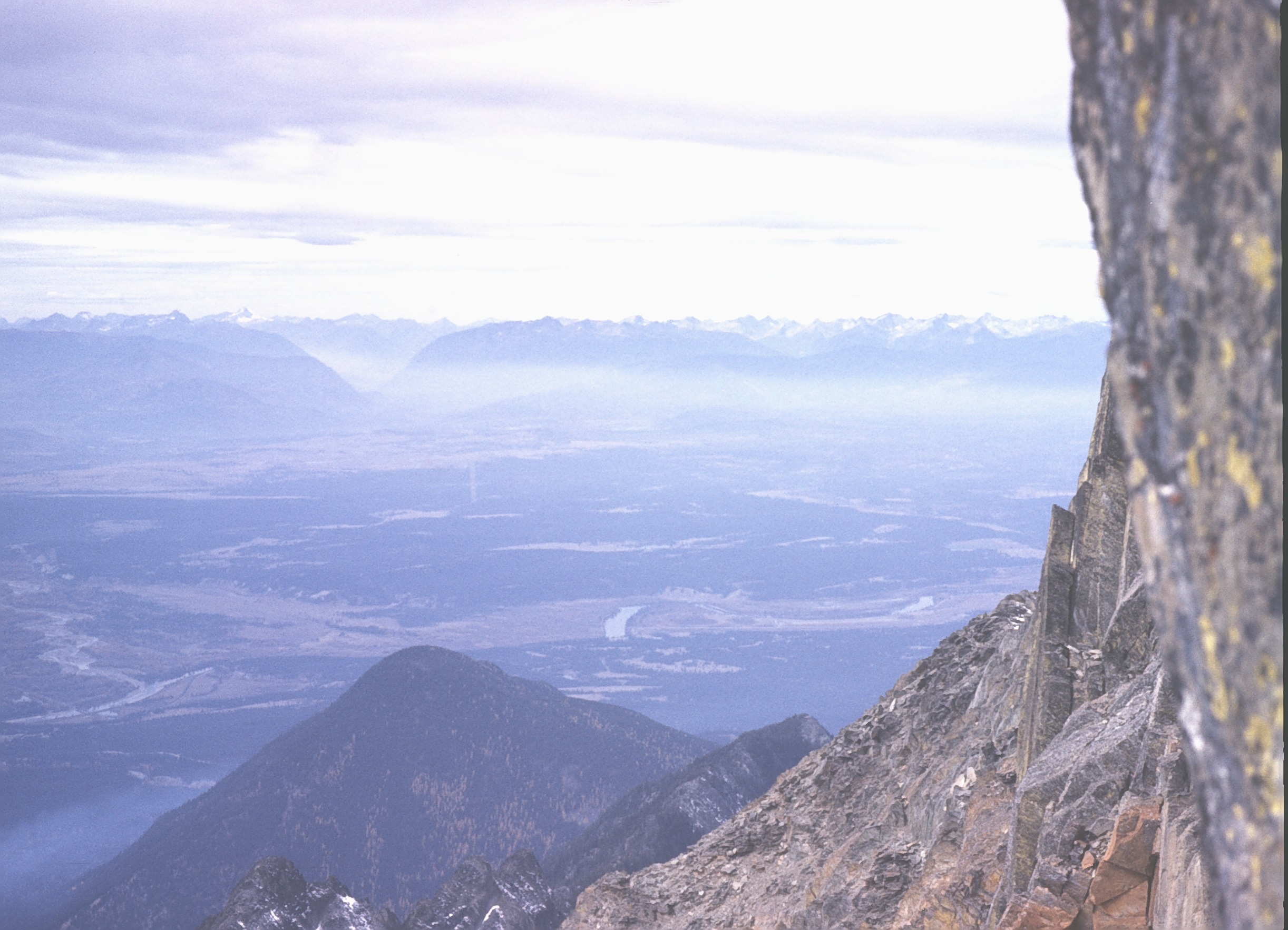
The Canadian Rockies
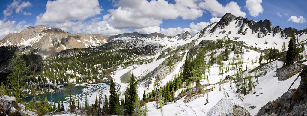
Tanglefoot Lake Panorama

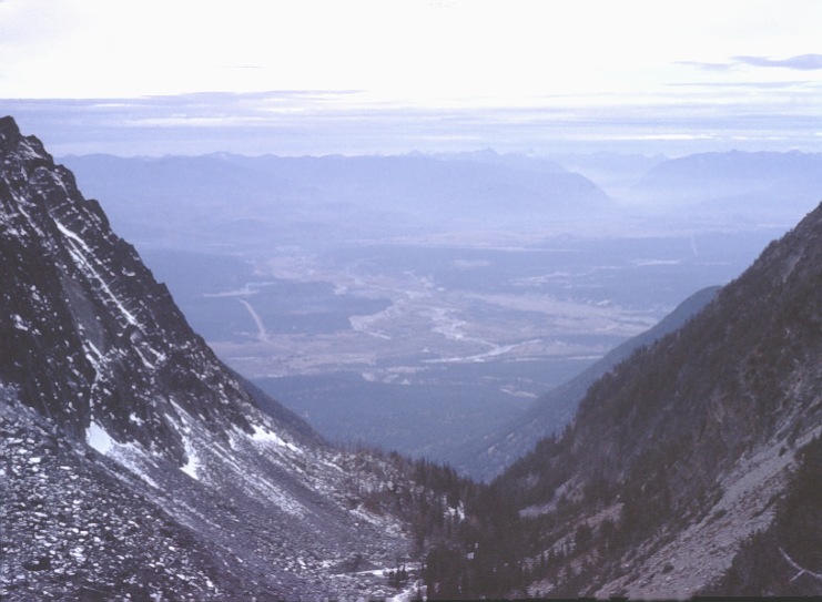
View From Lakit Mountain
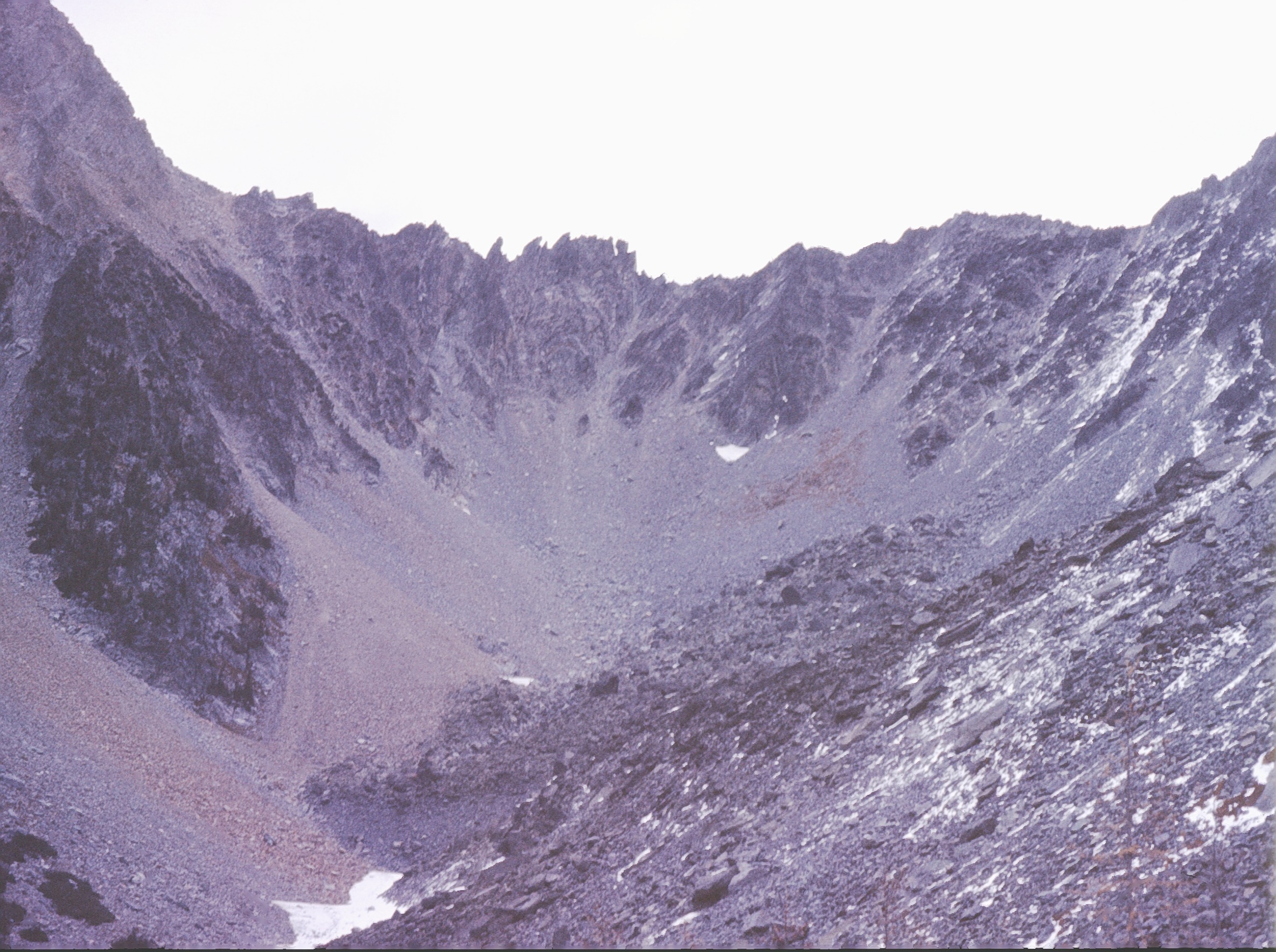
climb up Mt Fisher 8
Kootenay King Mine
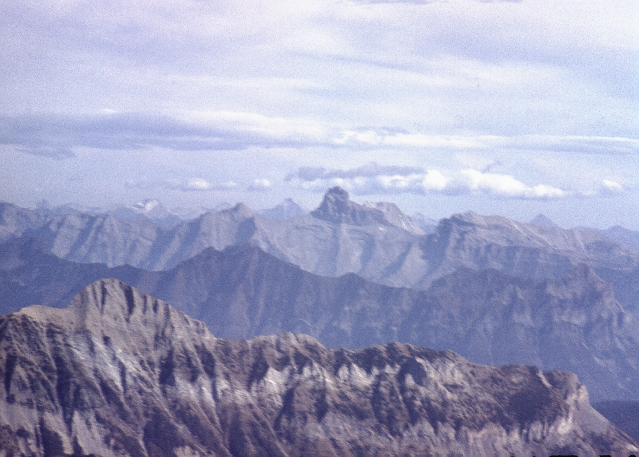
Fisher Peak From Lakit Mountain
The Stand
Climb up Mt Fisher 9
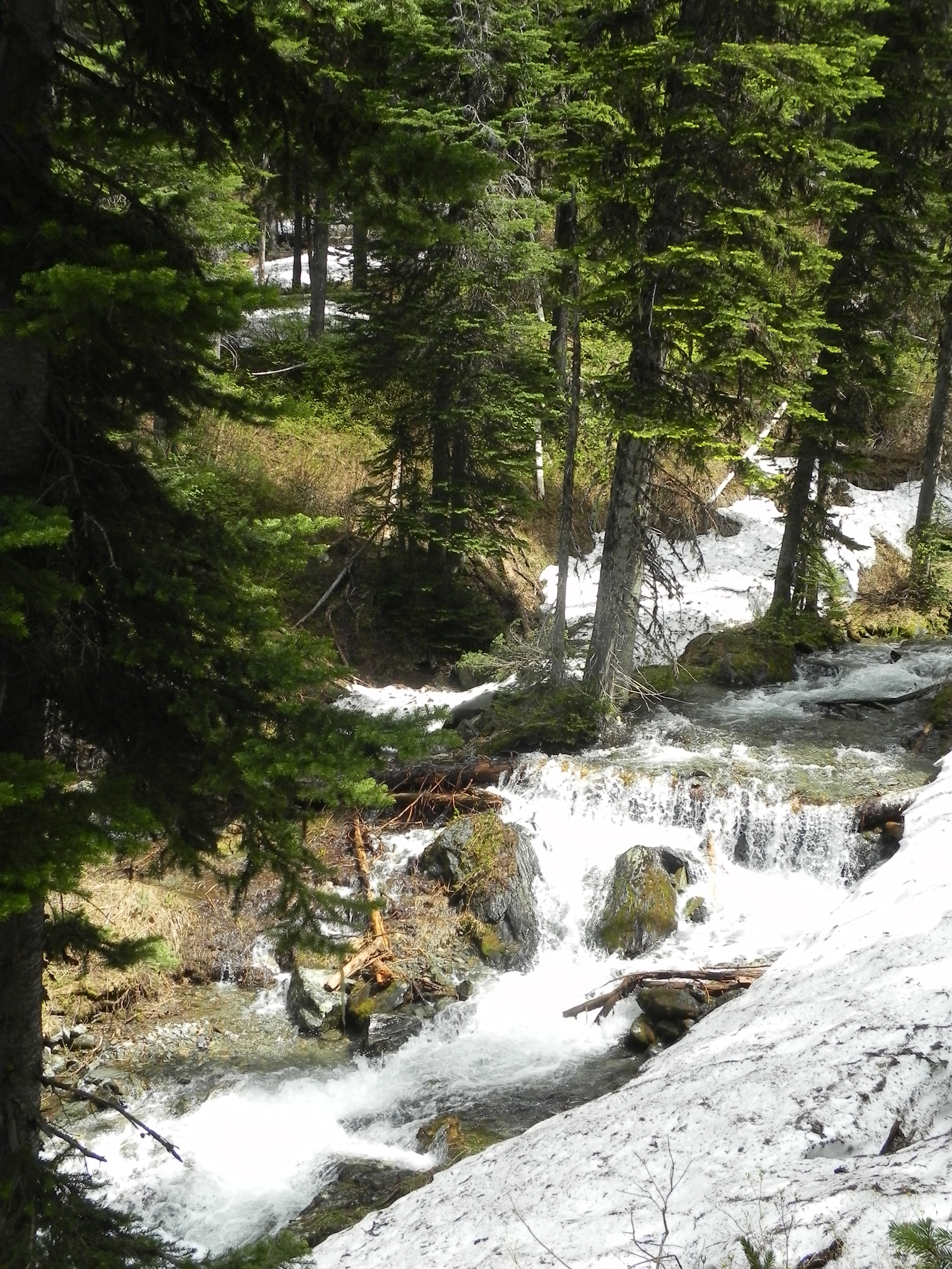
Moss Creek
climb up Mt Fisher 10
climb up Mt Fisher 23

climb up Mt Fisher 11
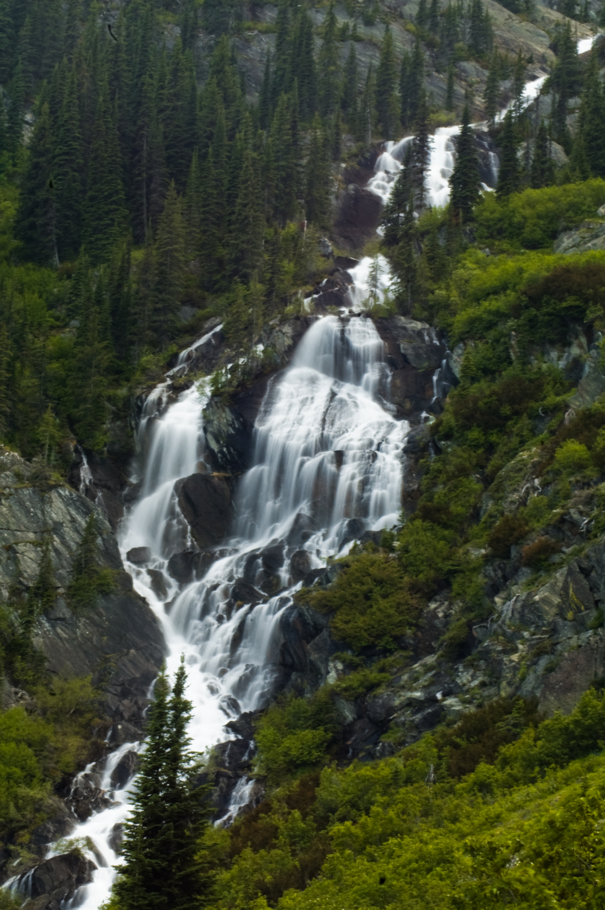
Cliff Lake Falls
climb up Mt Fisher 24

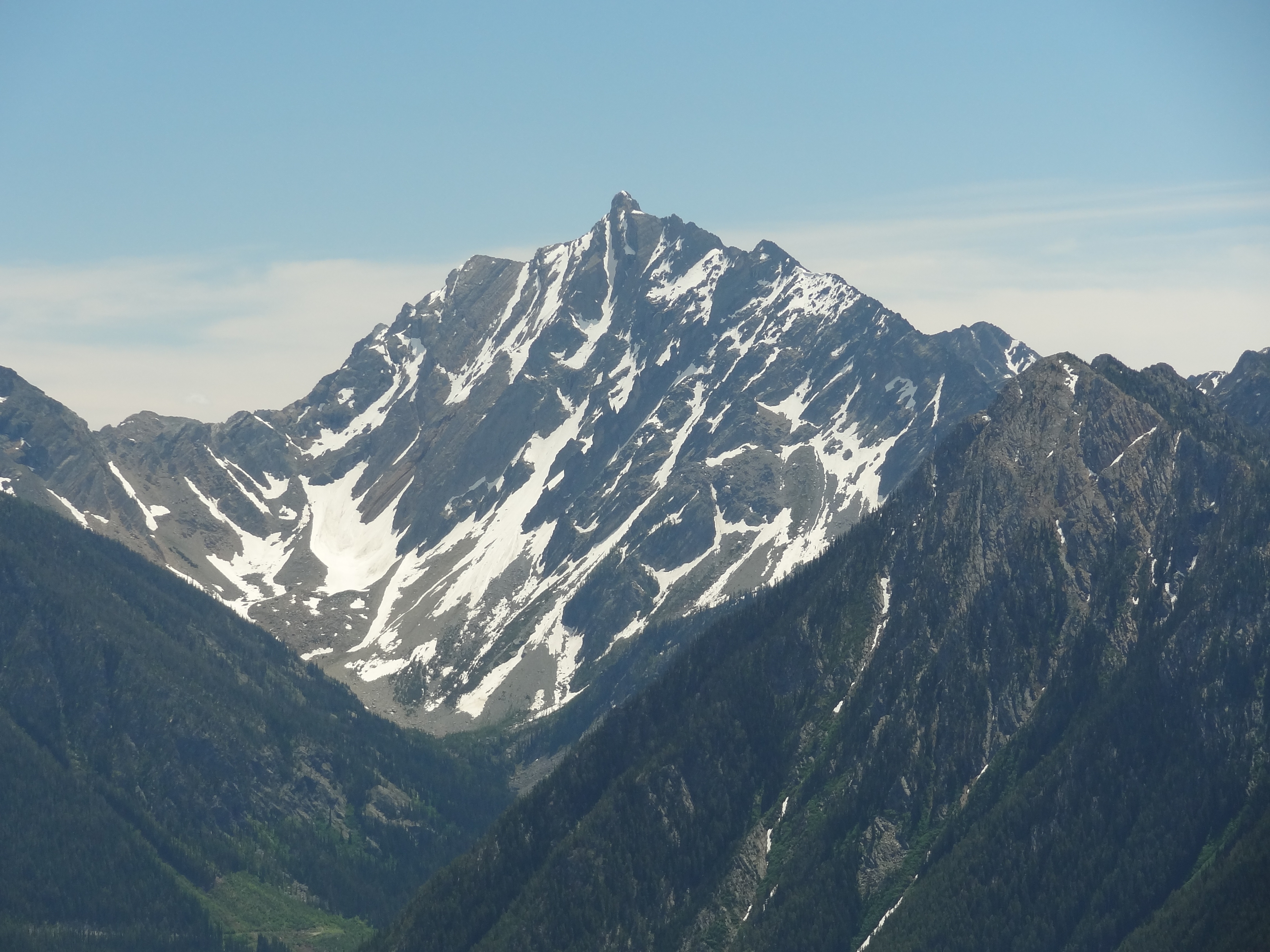
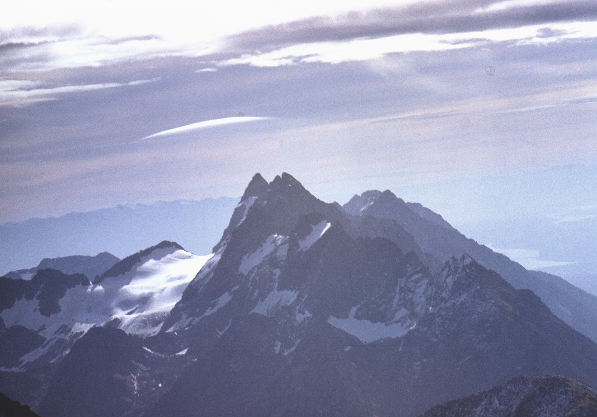
Mount Fisher
climb up Mt Fisher 5
climb up Mt Fisher 19
climb up Mt Fisher 16
climb up Mt Fisher 12
climb up Mt Fisher 22
climb up Mt Fisher 18
climb up Mt Fisher 13
Topographic Map of Tanglefoot Peak, East Kootenay C, BC V0B, Canada
Find elevation by address:

Places near Tanglefoot Peak, East Kootenay C, BC V0B, Canada:
East Kootenay C
Mount Fisher
Fish Lake
Wirth S2
Mount Stevens
Mount Wirth
Teepee Mountain
Wirth N2
Teepee N1
Teepee N4
Teepee N3
Fort Steele
Travois Peak
Diorite Se2
Travois N1
Diorite Peak
Diorite Ne2
Travois Nw4
Diorite Nw3
Diorite N4
Recent Searches:
- Elevation of Wayland, NY, USA
- Elevation of Steadfast Ct, Daphne, AL, USA
- Elevation of Lagasgasan, X+CQH, Tiaong, Quezon, Philippines
- Elevation of Rojo Ct, Atascadero, CA, USA
- Elevation of Flagstaff Drive, Flagstaff Dr, North Carolina, USA
- Elevation of Avery Ln, Lakeland, FL, USA
- Elevation of Woolwine, VA, USA
- Elevation of Lumagwas Diversified Farmers Multi-Purpose Cooperative, Lumagwas, Adtuyon, RV32+MH7, Pangantucan, Bukidnon, Philippines
- Elevation of Homestead Ridge, New Braunfels, TX, USA
- Elevation of Orchard Road, Orchard Rd, Marlborough, NY, USA