Elevation of Tameyah, Faiyum Governorate, Egypt
Location: Egypt > Faiyum Governorate >
Longitude: 30.9646866
Latitude: 29.4571367
Elevation: -10m / -33feet
Barometric Pressure: 101KPa
Elevation Map:
Satellite Map:
Related Photos:
Morning in Karanis
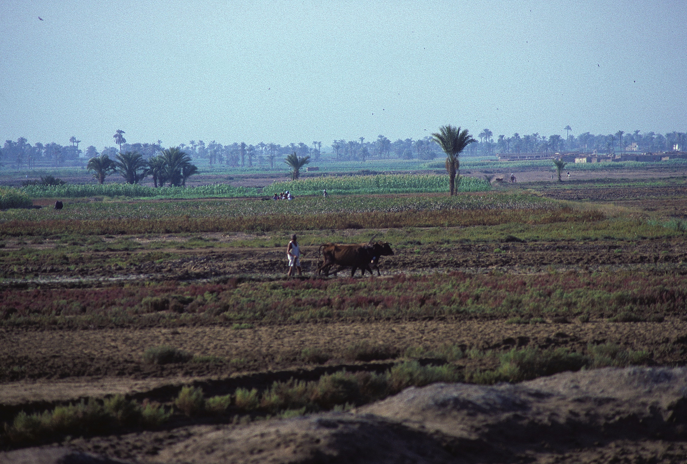
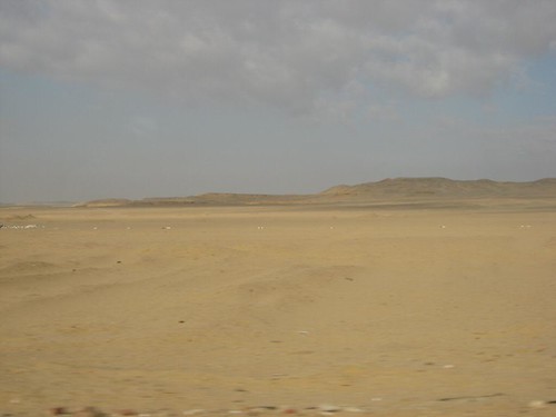
Al Faiyum
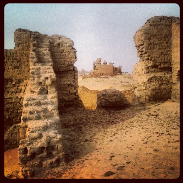
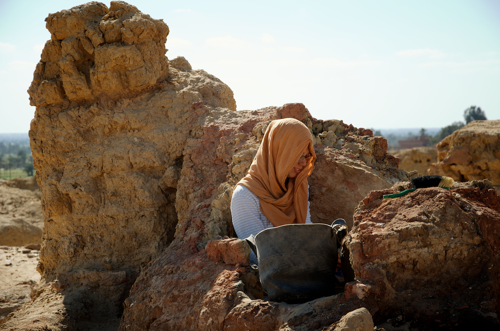
Strewn Across Karanis
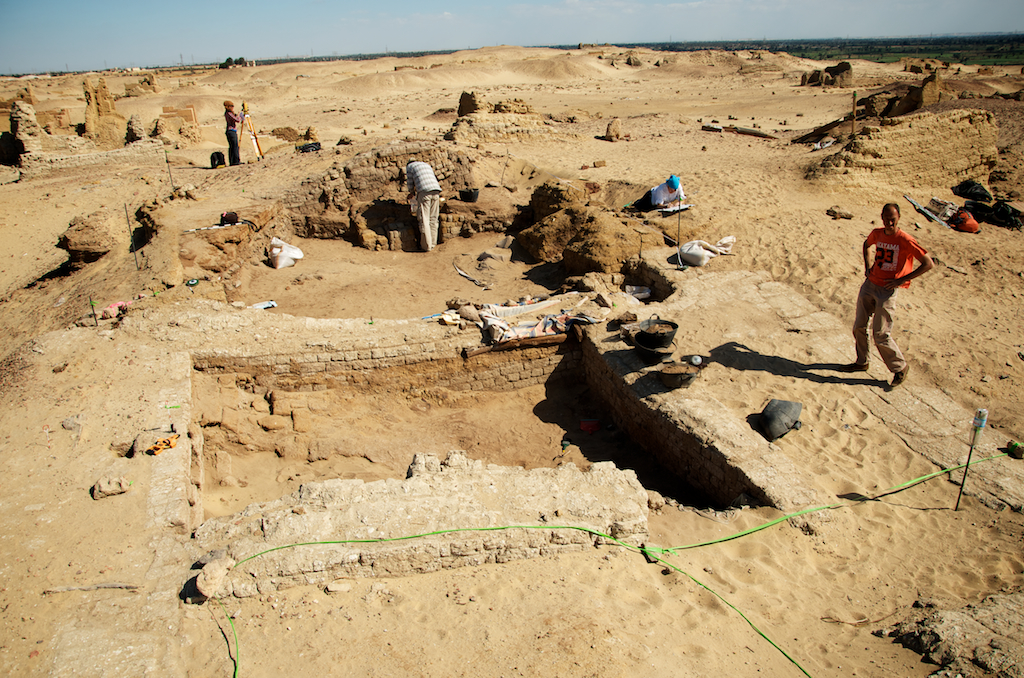
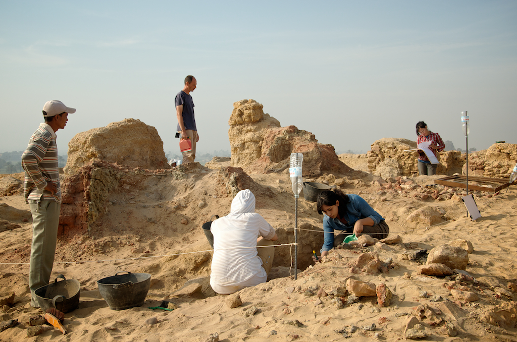
KAG Area Excavation
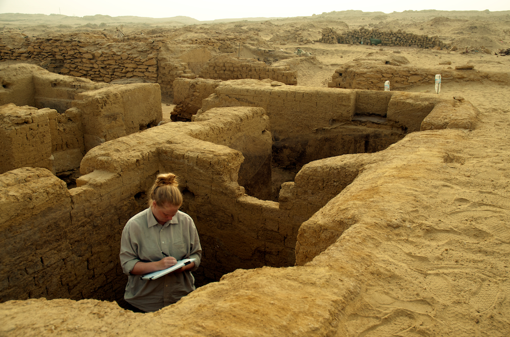
KAS Area Excavation
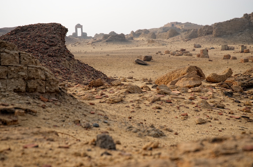
Miles to Go
KAS Area Excavation

Karanis - Grand temple
KAE Area Excavation

Fayoum - Biahmou
Topographic Map of Tameyah, Faiyum Governorate, Egypt
Find elevation by address:

Places in Tameyah, Faiyum Governorate, Egypt:
Places near Tameyah, Faiyum Governorate, Egypt:
Madinet Tameyah
Izbat Al Asfar
Hawaret Adlan
Al Lahun
Bani Sweif
Qism Bani Sweif
Dawoud
Beni Suef
Ataqah
Suez Governorate
Recent Searches:
- Elevation of Jadagoniai, Kaunas District Municipality, Lithuania
- Elevation of Pagonija rock, Kranto 7-oji g. 8"N, Kaunas, Lithuania
- Elevation of Co Rd 87, Jamestown, CO, USA
- Elevation of Tenjo, Cundinamarca, Colombia
- Elevation of Côte-des-Neiges, Montreal, QC H4A 3J6, Canada
- Elevation of Bobcat Dr, Helena, MT, USA
- Elevation of Zu den Ihlowbergen, Althüttendorf, Germany
- Elevation of Badaber, Peshawar, Khyber Pakhtunkhwa, Pakistan
- Elevation of SE Heron Loop, Lincoln City, OR, USA
- Elevation of Slanický ostrov, 01 Námestovo, Slovakia