Elevation of Tamarack Dr, Ormond Beach, FL, USA
Location: United States > Florida > Flagler County > Ormond Beach >
Longitude: -81.238764
Latitude: 29.2364628
Elevation: 11m / 36feet
Barometric Pressure: 101KPa
Elevation Map:
Satellite Map:
Related Photos:

Smiling Faces
Cessna 150 'N704MH'

Trotta's Thunder

Thunders Cycles
Day 315: Abandon Citrus Packing House. (Empacadora abandonada) (315/366)

Three Tickets To Paradise

Steel And Thunder
Beautiful dinner view
Monument Canyon view #colorado

Not a bad view for dinner with the family.

Alternate Day 323: A door to the past. (Una puerta al pasado). (323/366)
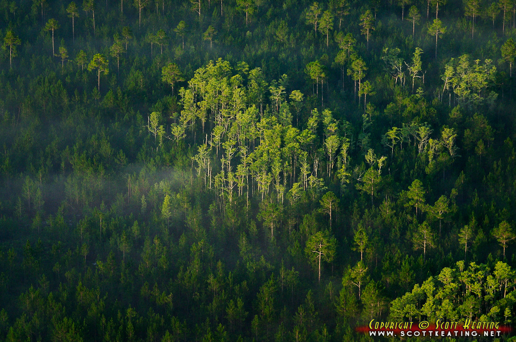
Forest west of Ormond Beach
Long day early night
Day 57

Trailerpark Lawn

Trailerpark Lawn

Trailerpark Lawn

Tiger Bay State Forest
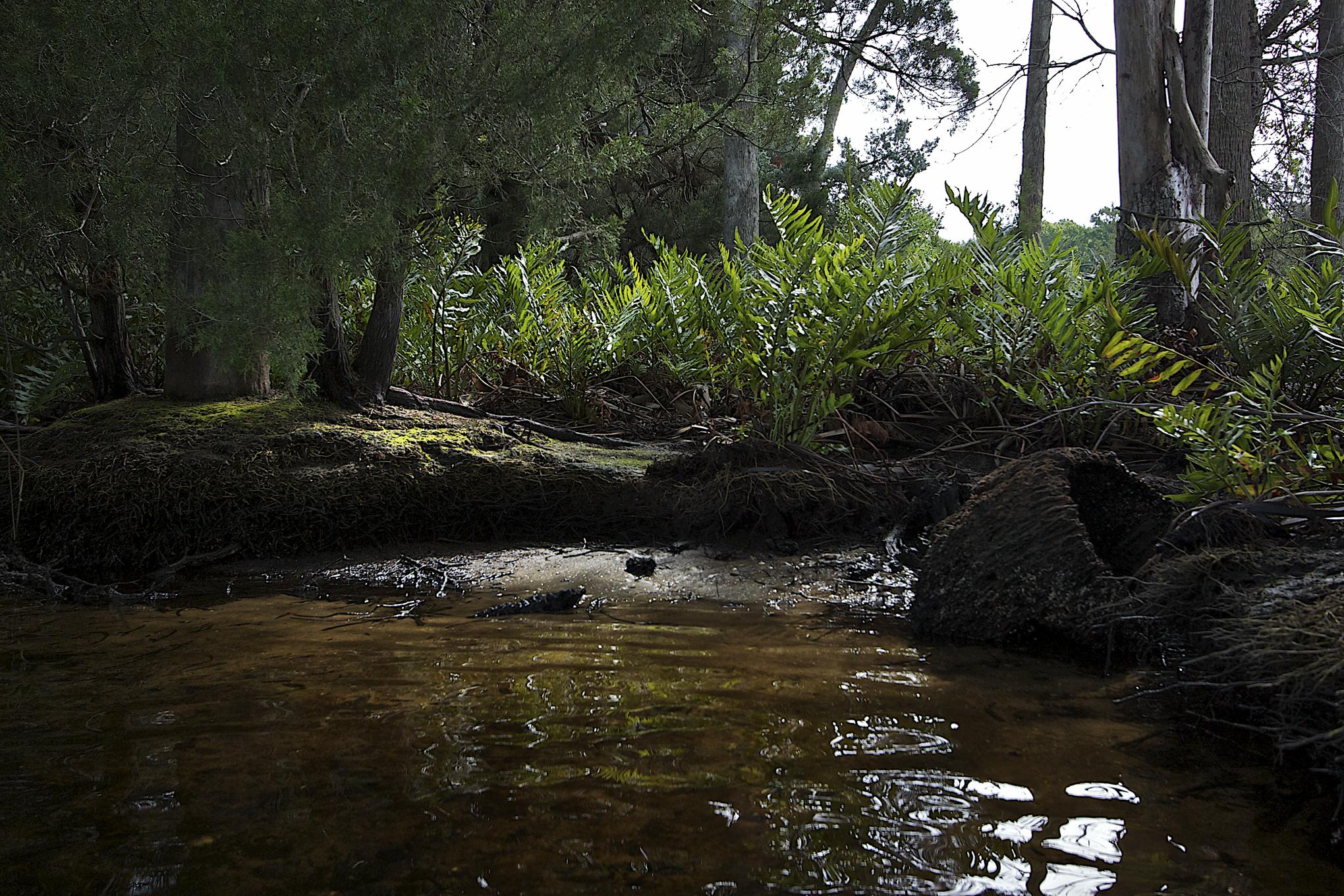
Banks of the Tomoka River
Day 54

Tiger Bay State Forest
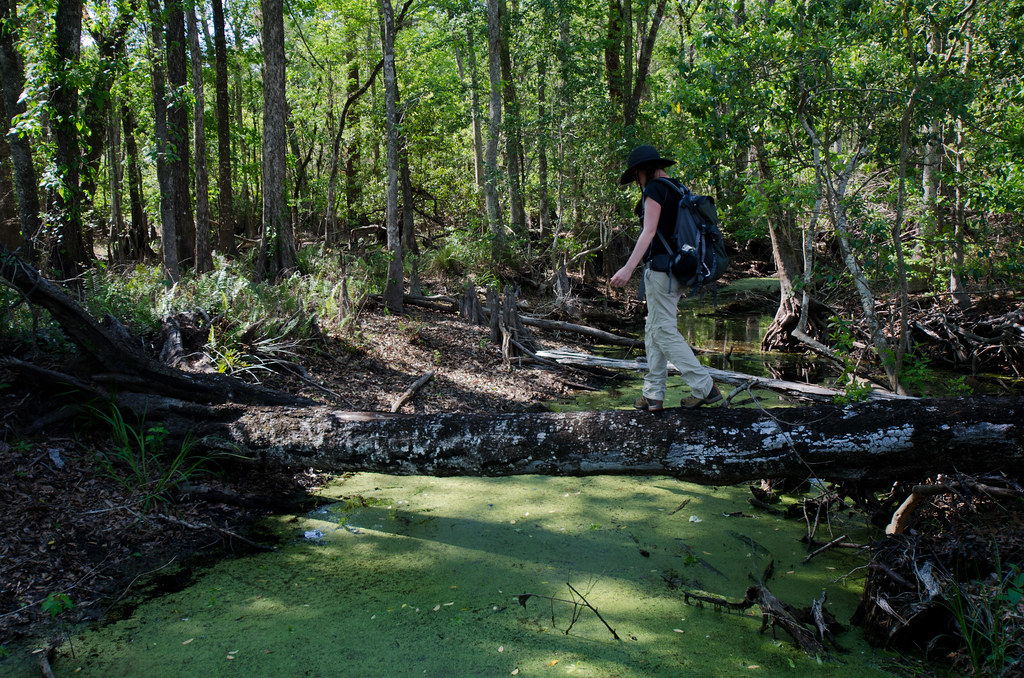
Creek Crossing
Tomoka River Coontie Island
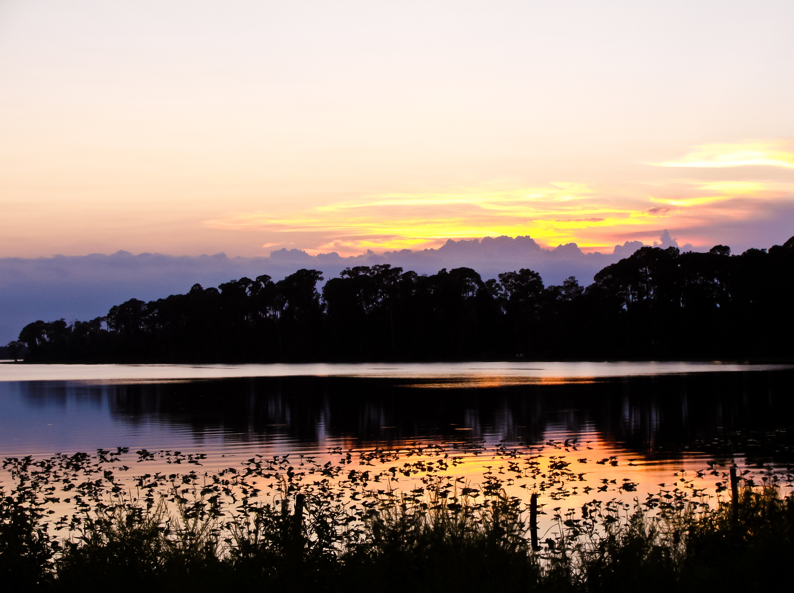
Painted sunset
Indian Lake

LPGA Blvd. sign near I-95
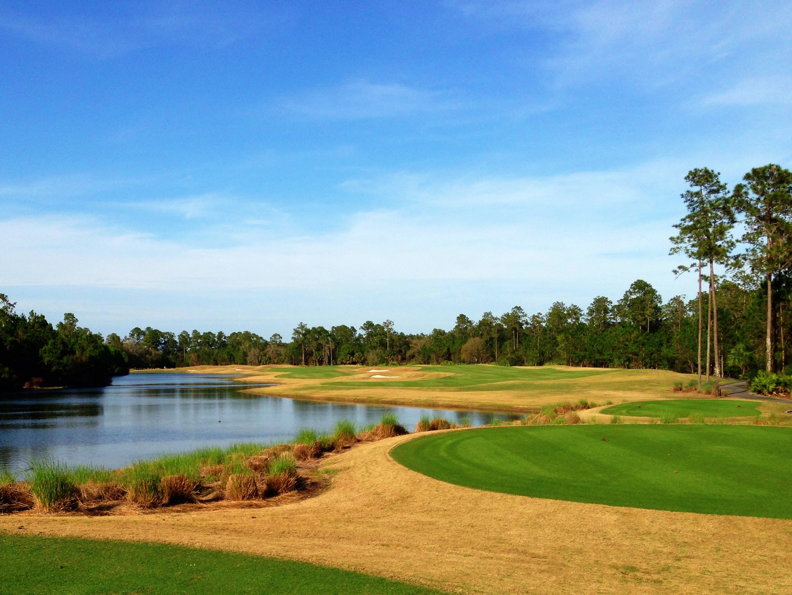
Out in the Country
Tomoka River

Sunset from Daytona Beach
P1140197.JPG
Condominium, Daytona Beach. 2015. #daytonabeach #florida #vscogrid #condominium #palm #trees #sky #architecture #landscape #beachlife #floridalife #light #line #seeing #life #livefolk #liveauthentic #igers #igdaily #instadaily #iphoneonly #vsco #vscogood
Topographic Map of Tamarack Dr, Ormond Beach, FL, USA
Find elevation by address:

Places near Tamarack Dr, Ormond Beach, FL, USA:
Conifer Lane
Plantation Pines
3658 Plantation Dr
3601 Fl-40
3749 Juniper Ln
3789 Juniper Ln
3750 Balsam Ct
Relay Road
6105 Fl-11
1810 Lake Disston Dr
1850 Lake Disston Dr
Co Rd, Bunnell, FL, USA
860 Buckles Rd
1165 Buckles Rd
450 Cherokee Oak Trail
US-17, De Leon Springs, FL, USA
513 Turner Rd
448 Minshew Rd
Minshew Road
Tangerine Gardens
Recent Searches:
- Elevation of Woodland Oak Pl, Thousand Oaks, CA, USA
- Elevation of Brownsdale Rd, Renfrew, PA, USA
- Elevation of Corcoran Ln, Suffolk, VA, USA
- Elevation of Mamala II, Sariaya, Quezon, Philippines
- Elevation of Sarangdanda, Nepal
- Elevation of 7 Waterfall Way, Tomball, TX, USA
- Elevation of SW 57th Ave, Portland, OR, USA
- Elevation of Crocker Dr, Vacaville, CA, USA
- Elevation of Pu Ngaol Community Meeting Hall, HWHM+3X7, Krong Saen Monourom, Cambodia
- Elevation of Royal Ontario Museum, Queens Park, Toronto, ON M5S 2C6, Canada