Elevation of Tallapoosa St, Notasulga, AL, USA
Location: United States > Alabama > Macon County > Notasulga >
Longitude: -85.748003
Latitude: 32.581606
Elevation: 175m / 574feet
Barometric Pressure: 99KPa
Elevation Map:
Satellite Map:
Related Photos:
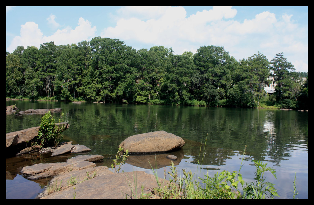
Tallapoosa River
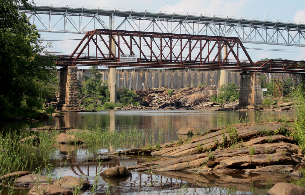
The Fitzpatrick Bridge And Abandoned Bridge
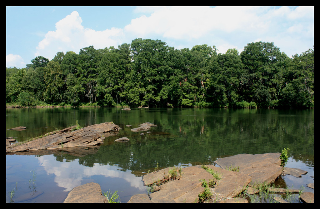
Tallapoosa River
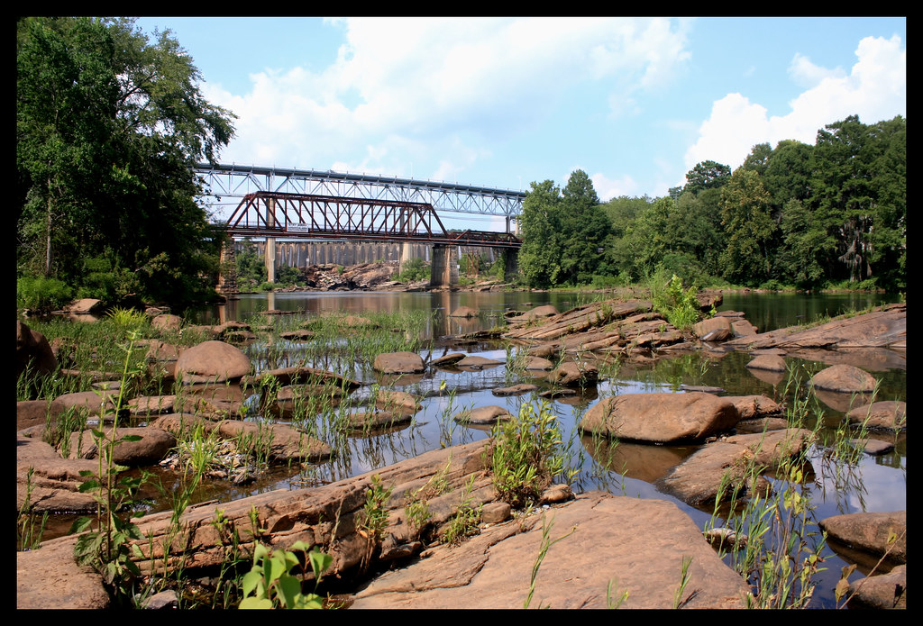
Thurloug Dam

Tallassee Armory
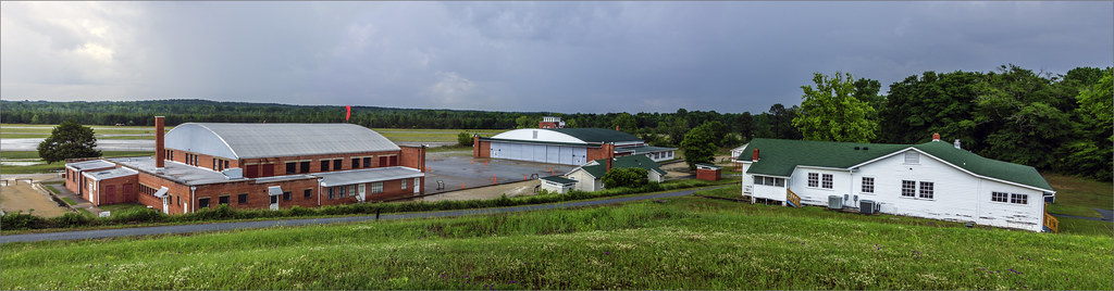
Tuskeegee Airmen National Historic Site

Old Tallassee Mills Bridge
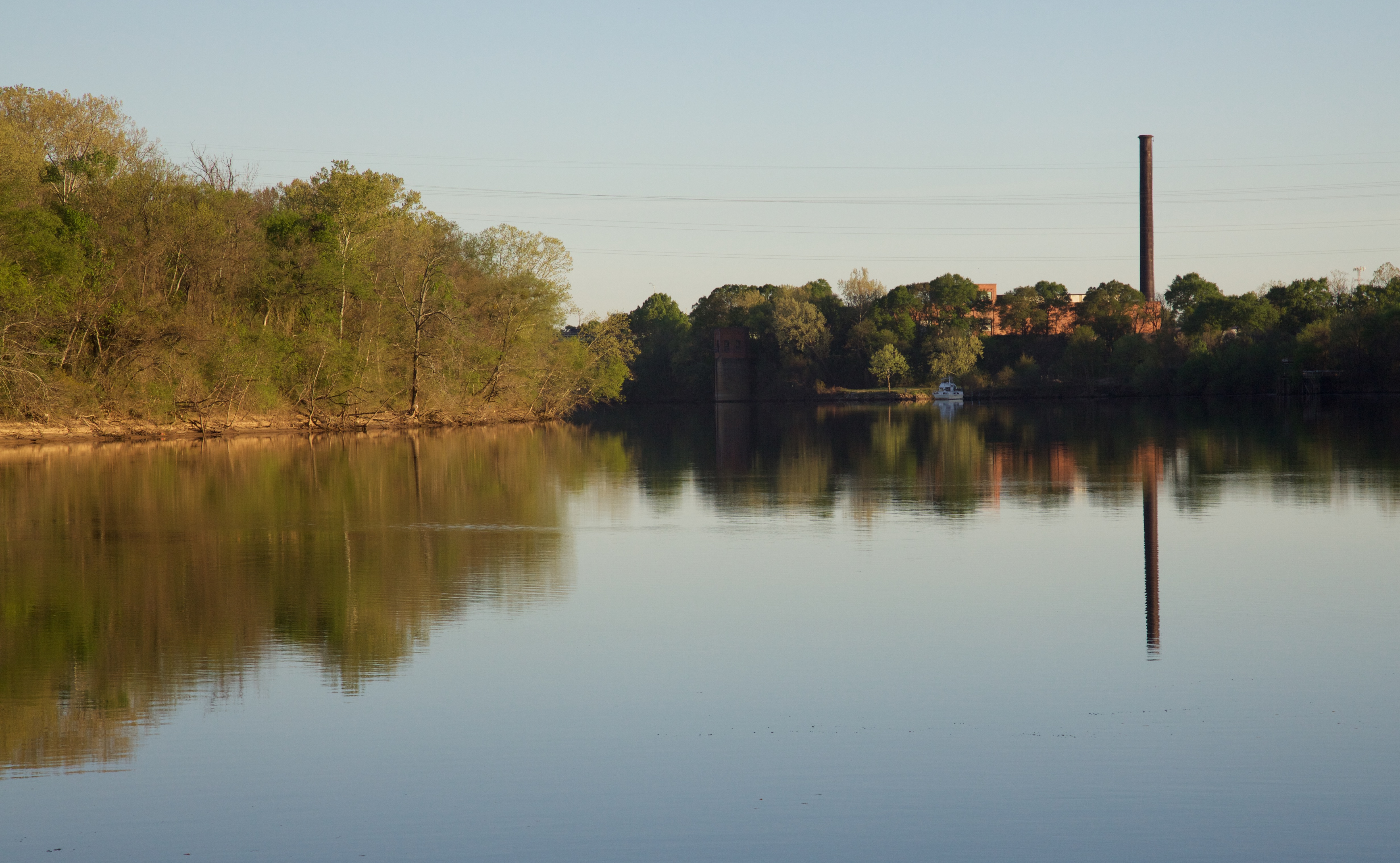
Quiet Morning on the Alabama River
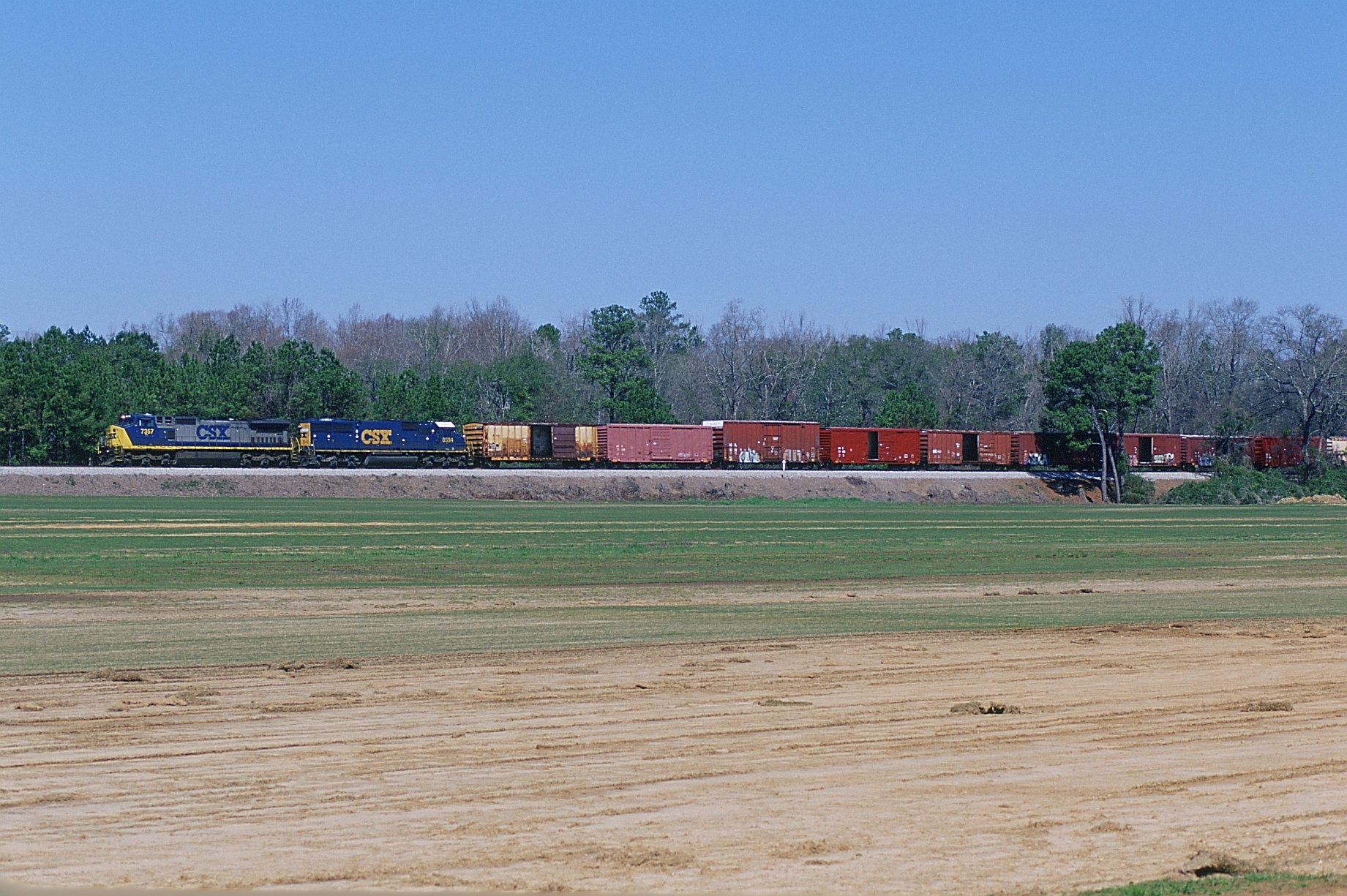
Q611 Southbound
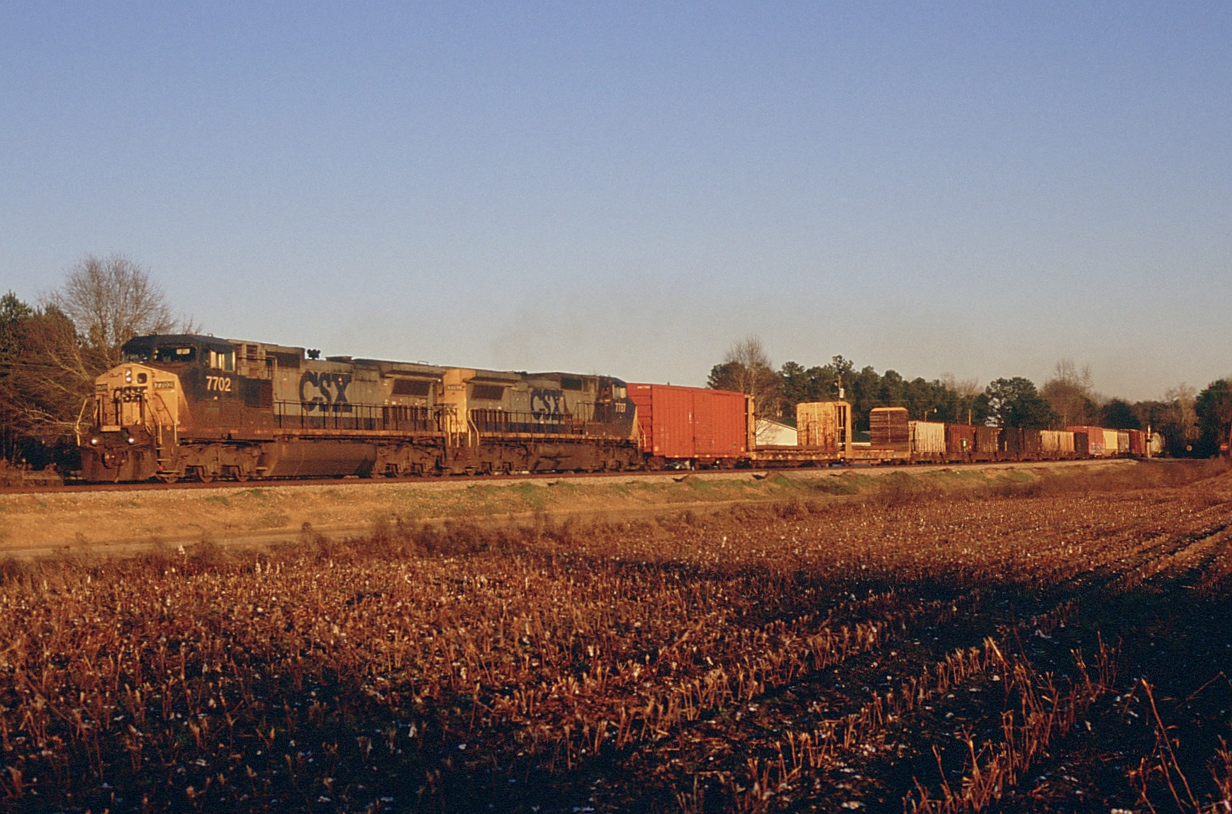
Q611 Southbound
Topographic Map of Tallapoosa St, Notasulga, AL, USA
Find elevation by address:

Places near Tallapoosa St, Notasulga, AL, USA:
2273 Co Rd 54
Notasulga
Roxana Rd, Camp Hill, AL, USA
Co Rd, Auburn, AL, USA
Co Rd, Waverly, AL, USA
589 Deer Run Rd
Auburn University
301 Wire Rd
522 N Donahue Dr
310 W Magnolia Ave Parking
1522 Benedict Pl
South Gay Street
Auburn
355 Forsythia Ct
415 Harper Ave
Tullahoma Dr, Auburn, AL, USA
Millbranch Dr, Auburn University, AL, USA
552 Harper Ave
Forestdale Dr, Auburn, AL, USA
912 Mckinley Ave
Recent Searches:
- Elevation of Lampiasi St, Sarasota, FL, USA
- Elevation of Elwyn Dr, Roanoke Rapids, NC, USA
- Elevation of Congressional Dr, Stevensville, MD, USA
- Elevation of Bellview Rd, McLean, VA, USA
- Elevation of Stage Island Rd, Chatham, MA, USA
- Elevation of Shibuya Scramble Crossing, 21 Udagawacho, Shibuya City, Tokyo -, Japan
- Elevation of Jadagoniai, Kaunas District Municipality, Lithuania
- Elevation of Pagonija rock, Kranto 7-oji g. 8"N, Kaunas, Lithuania
- Elevation of Co Rd 87, Jamestown, CO, USA
- Elevation of Tenjo, Cundinamarca, Colombia