Elevation of Talapampa, Salta Province, Argentina
Location: Argentina > Salta Province > La Viña Department >
Longitude: -65.562579
Latitude: -25.540132
Elevation: 1124m / 3688feet
Barometric Pressure: 89KPa
Elevation Map:
Satellite Map:
Related Photos:
El Fraile
Small Dad

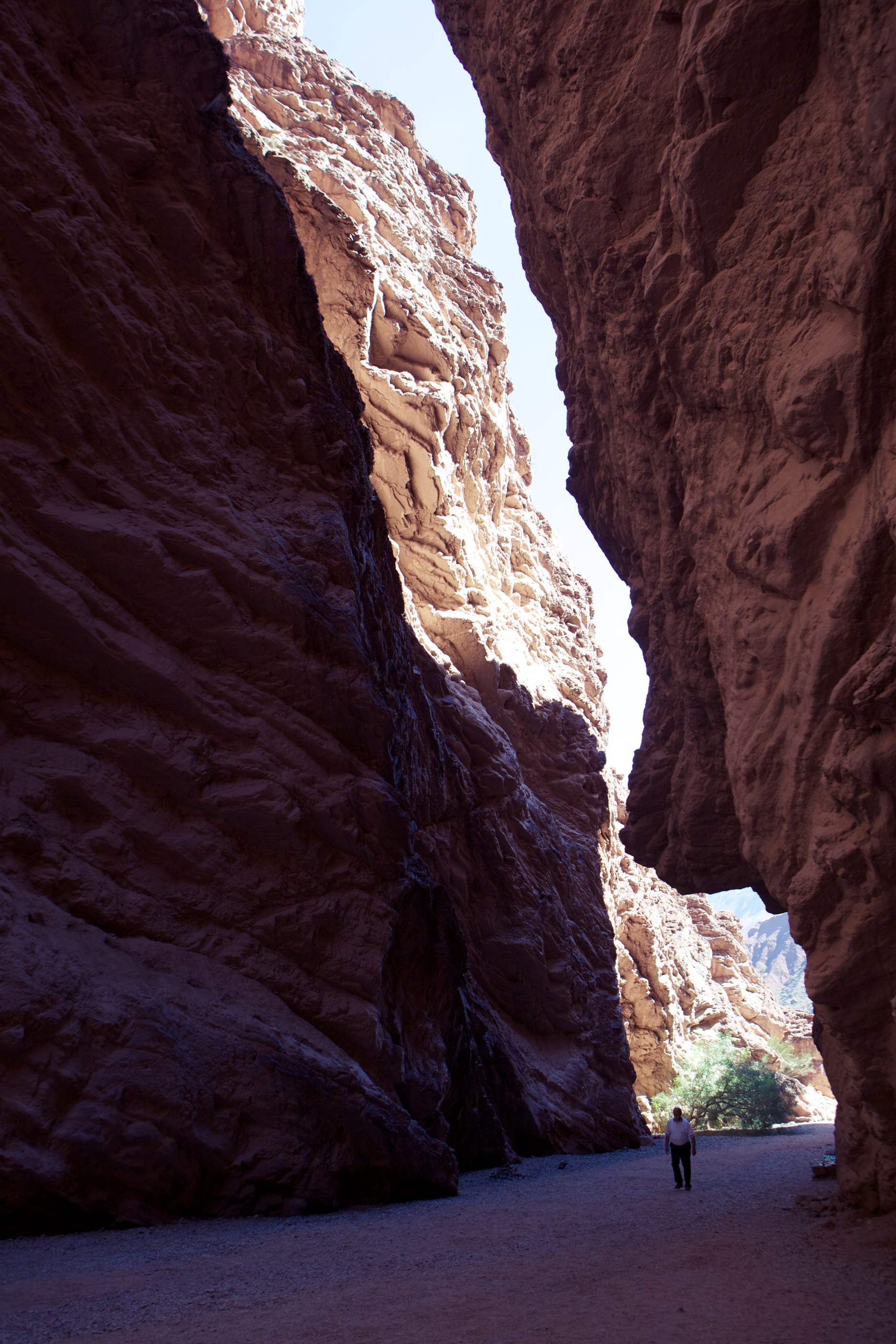
El Anfiteatro
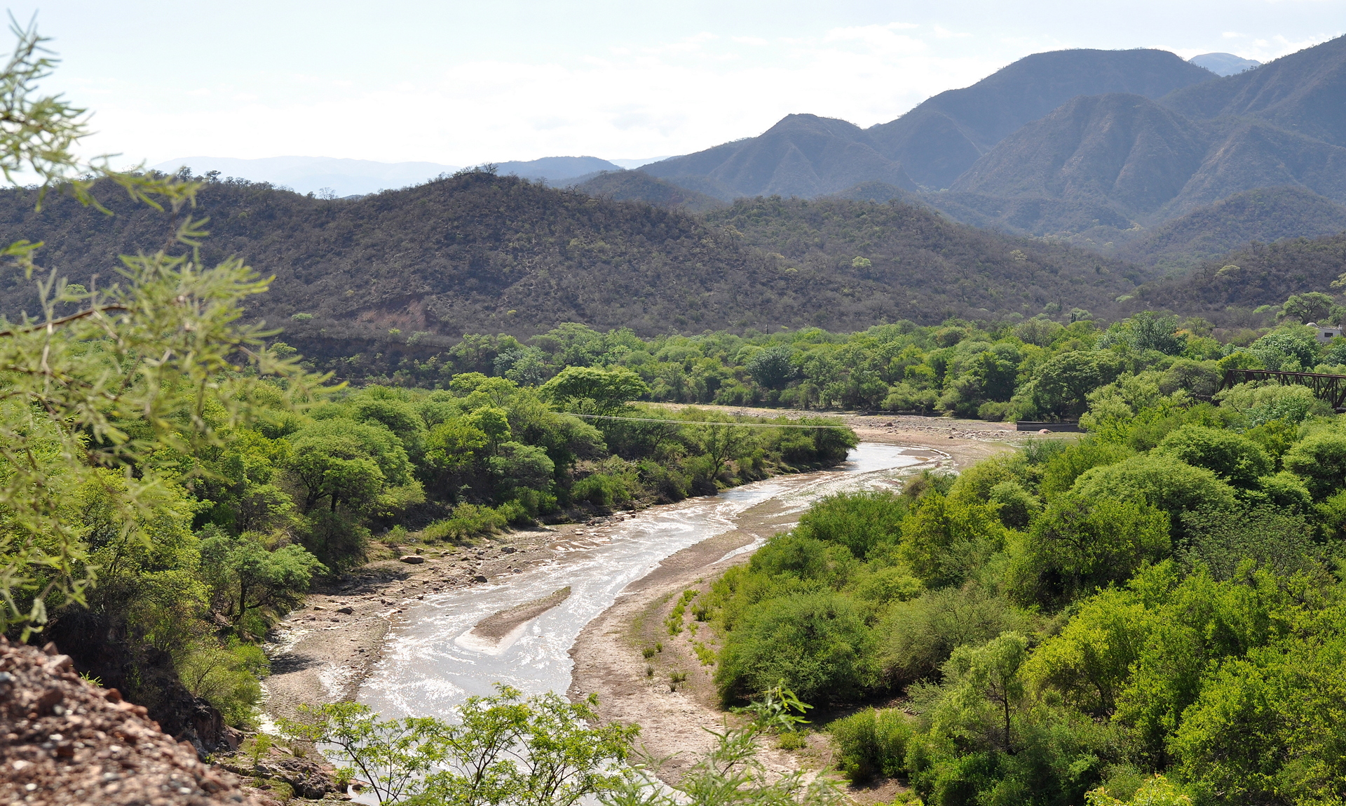
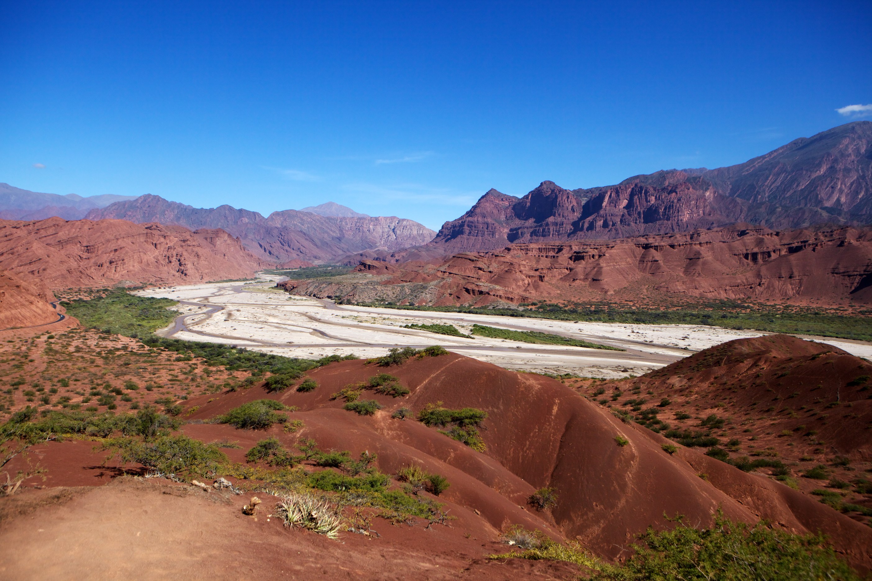
River by Alemania

19 Cleistocactus smaragdiflorus
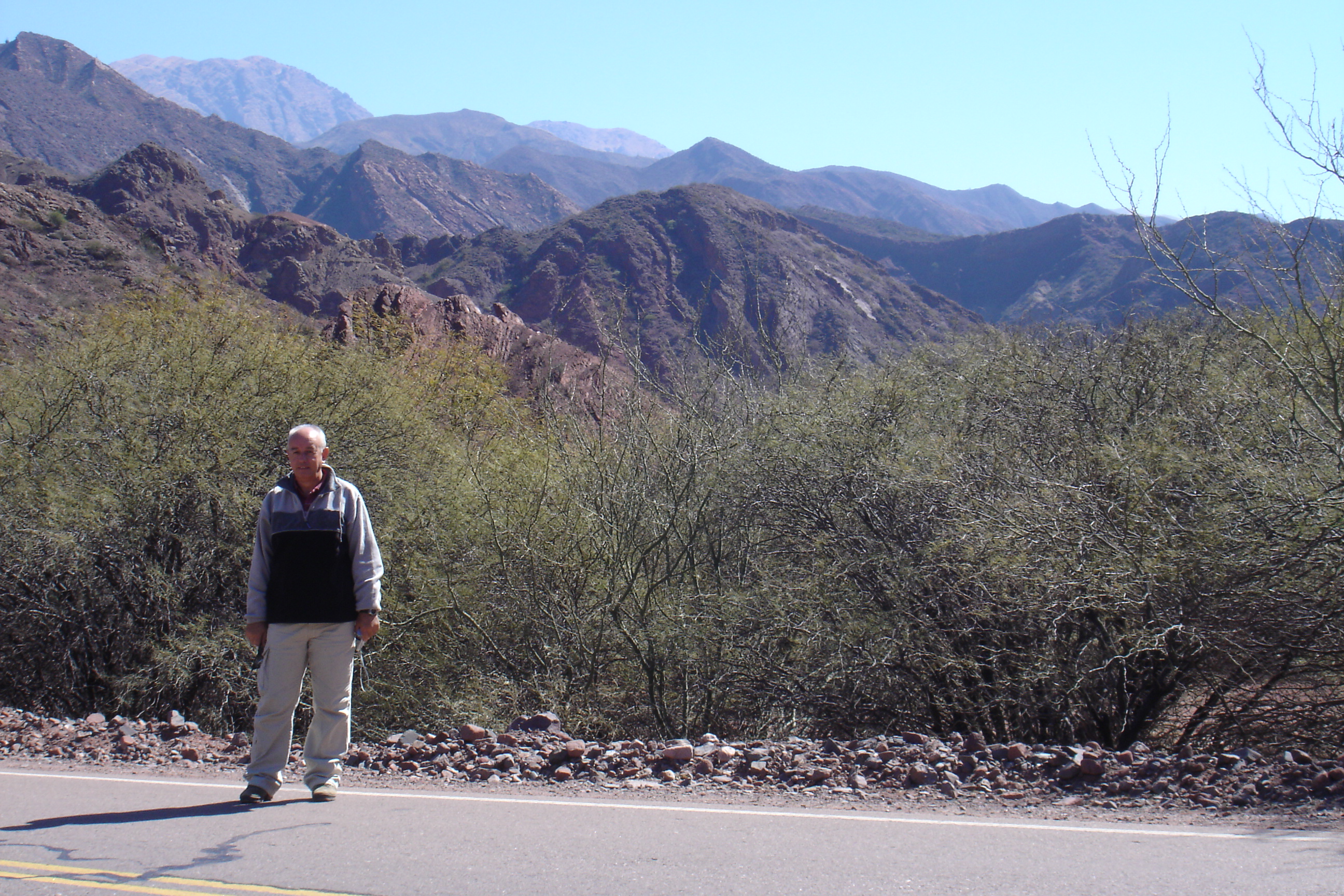
Valles Calchaquíes (Argentina). Santiago al lado de la carretera

20130703-AS-0012-REL1

The Adventures of Tomas & Pajaro

ALEMANÍA (Salta )

Ahhhh, Alemania Falls
Topographic Map of Talapampa, Salta Province, Argentina
Find elevation by address:

Places near Talapampa, Salta Province, Argentina:
Guachipas
La Viña
Alemania
Ampascachi
Guachipas Department
La Viña Department
Tres Cruces
Cafayate Department
Cafayate
El Sunchal
Santa María
Burruyacú Department
Recent Searches:
- Elevation of Congressional Dr, Stevensville, MD, USA
- Elevation of Bellview Rd, McLean, VA, USA
- Elevation of Stage Island Rd, Chatham, MA, USA
- Elevation of Shibuya Scramble Crossing, 21 Udagawacho, Shibuya City, Tokyo -, Japan
- Elevation of Jadagoniai, Kaunas District Municipality, Lithuania
- Elevation of Pagonija rock, Kranto 7-oji g. 8"N, Kaunas, Lithuania
- Elevation of Co Rd 87, Jamestown, CO, USA
- Elevation of Tenjo, Cundinamarca, Colombia
- Elevation of Côte-des-Neiges, Montreal, QC H4A 3J6, Canada
- Elevation of Bobcat Dr, Helena, MT, USA