Elevation of Taki District, Mie Prefecture, Japan
Location: Japan > Mie Prefecture >
Longitude: 136.33
Latitude: 34.371
Elevation: 274m / 899feet
Barometric Pressure: 98KPa
Elevation Map:
Satellite Map:
Related Photos:
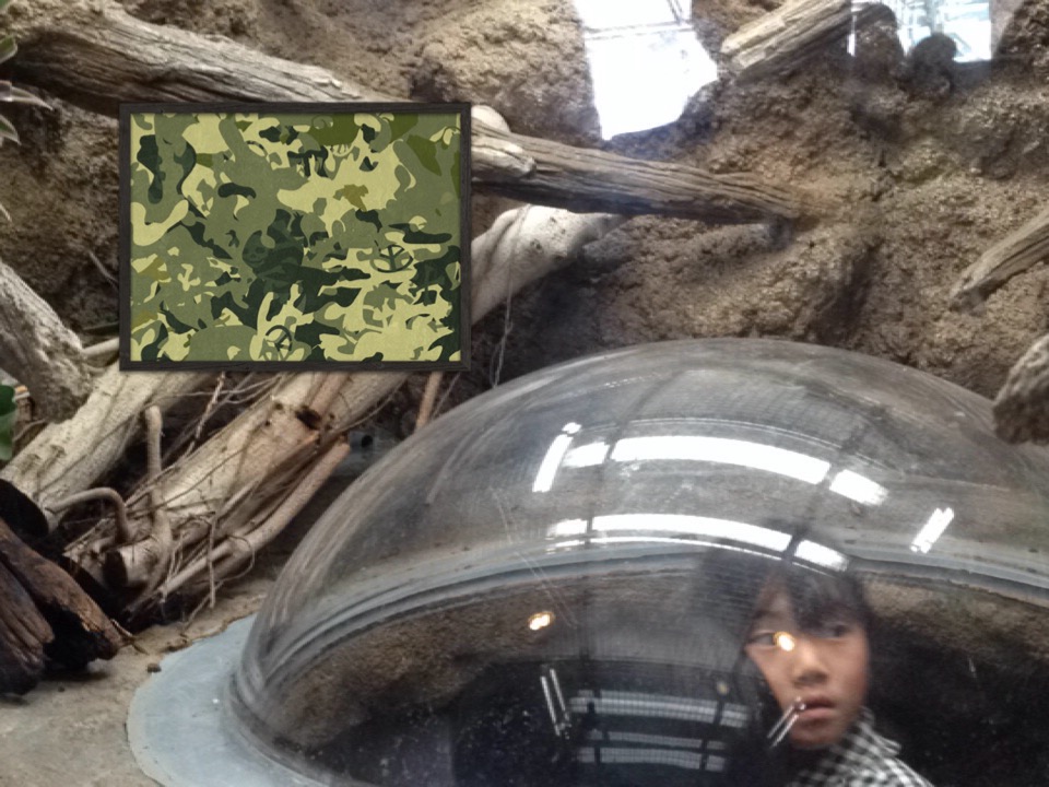
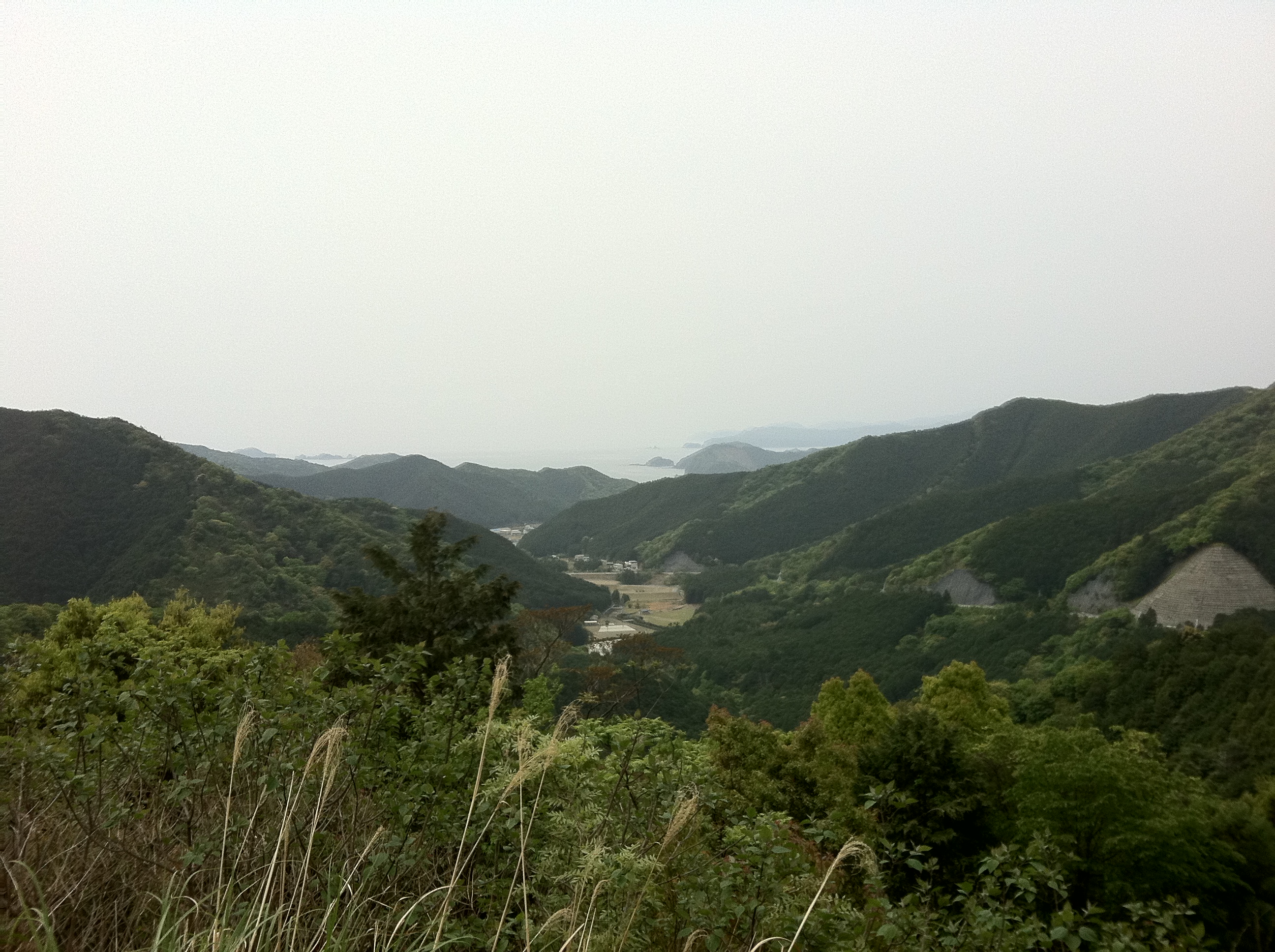
View of "Camouflage" - Monday, 30 March 2015 - 14:53 GMT+0900
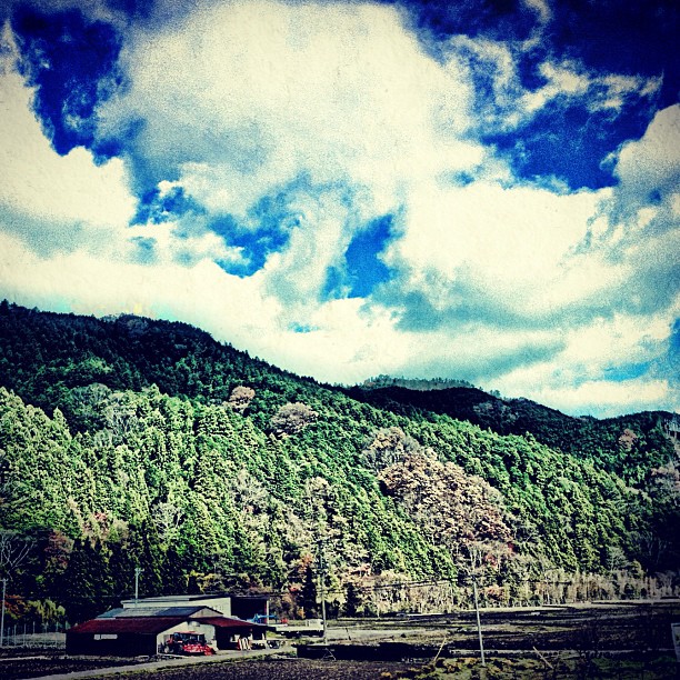
田舎の風景。 A view of country side.

Kiseimiyagawa bridge (紀勢宮川橋)
Wild Japan,so beautiful...
_DSC6601.jpg
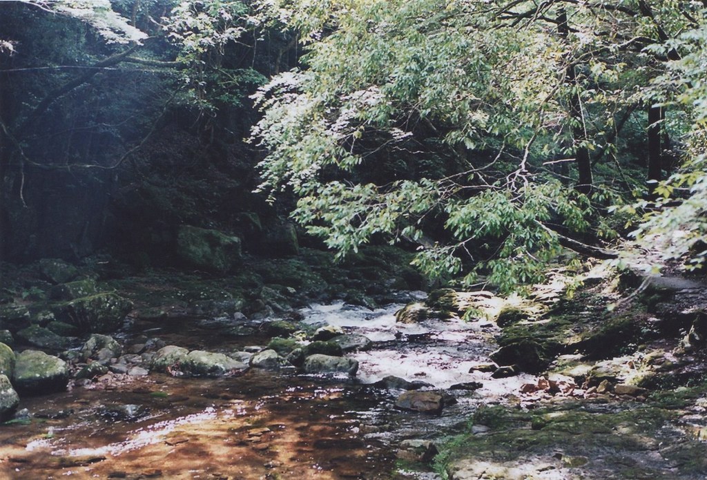
Colored flow

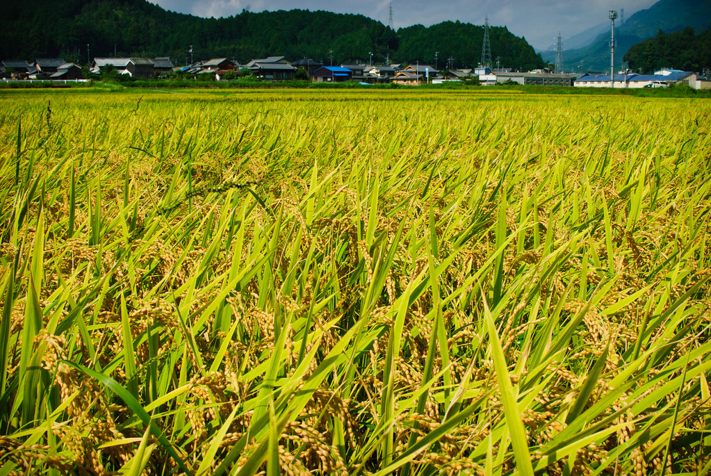
Kushida River
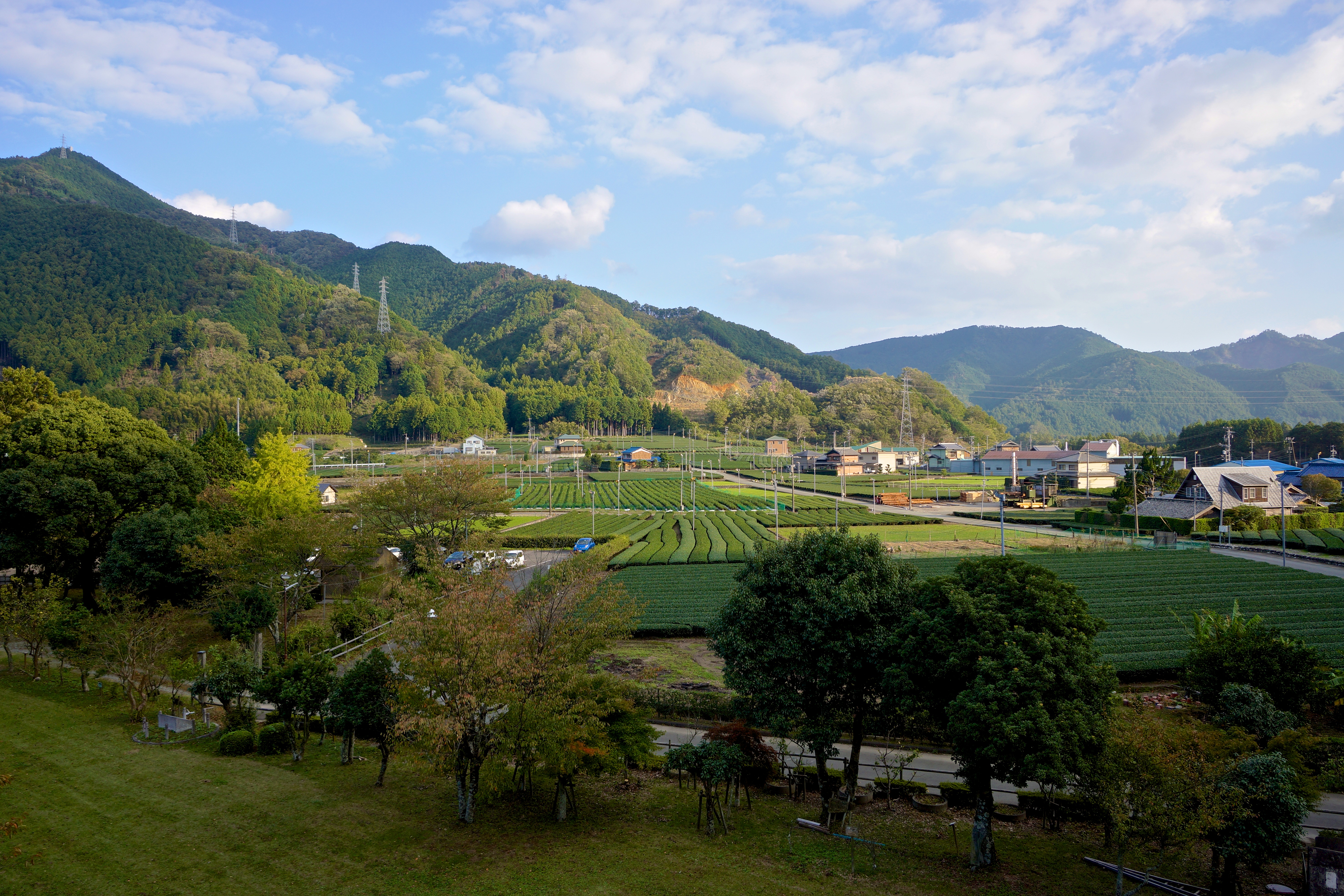
Mie Tea Fields
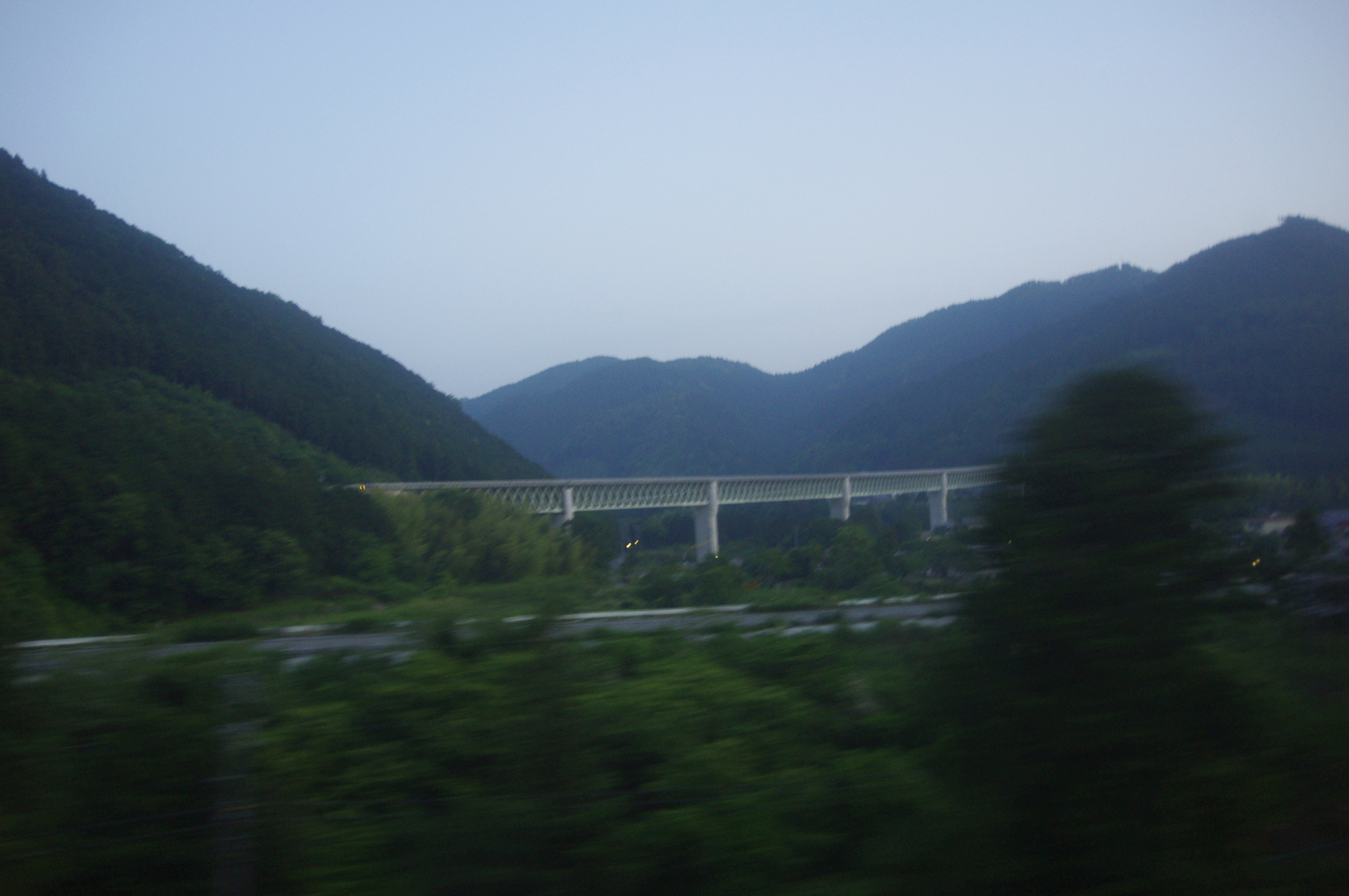
高速道路
_DSC6496.jpg

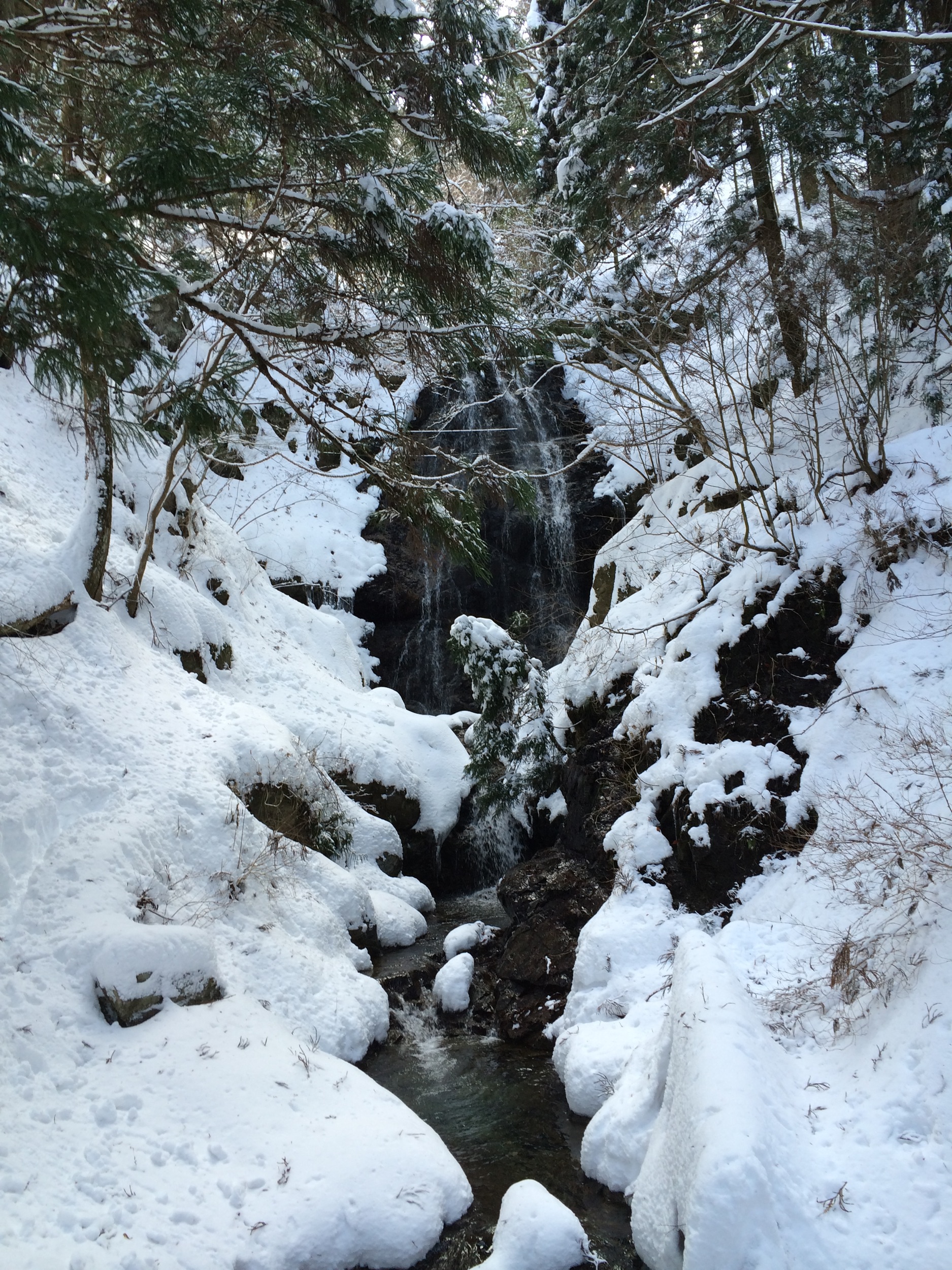
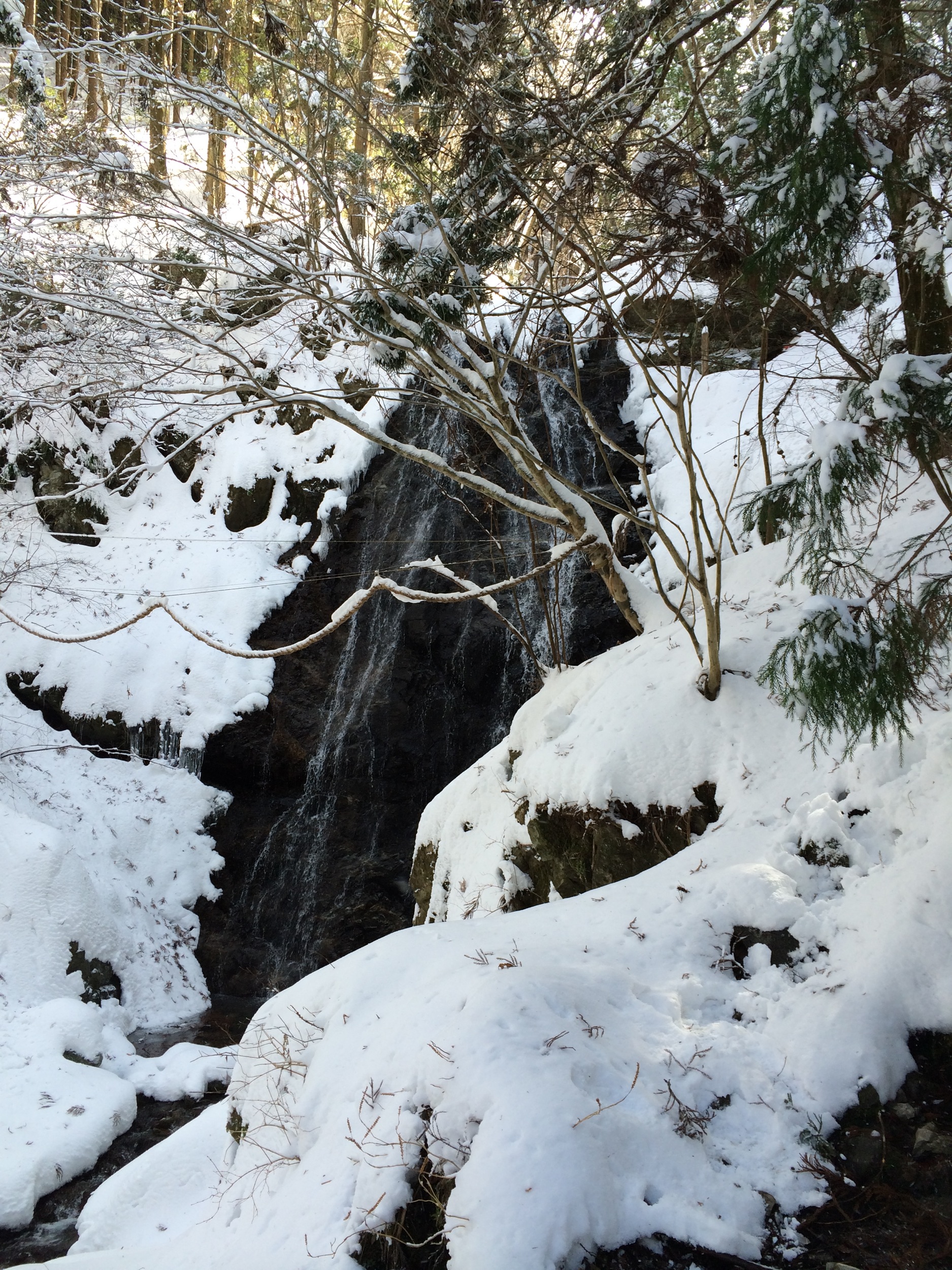
堂倉滝
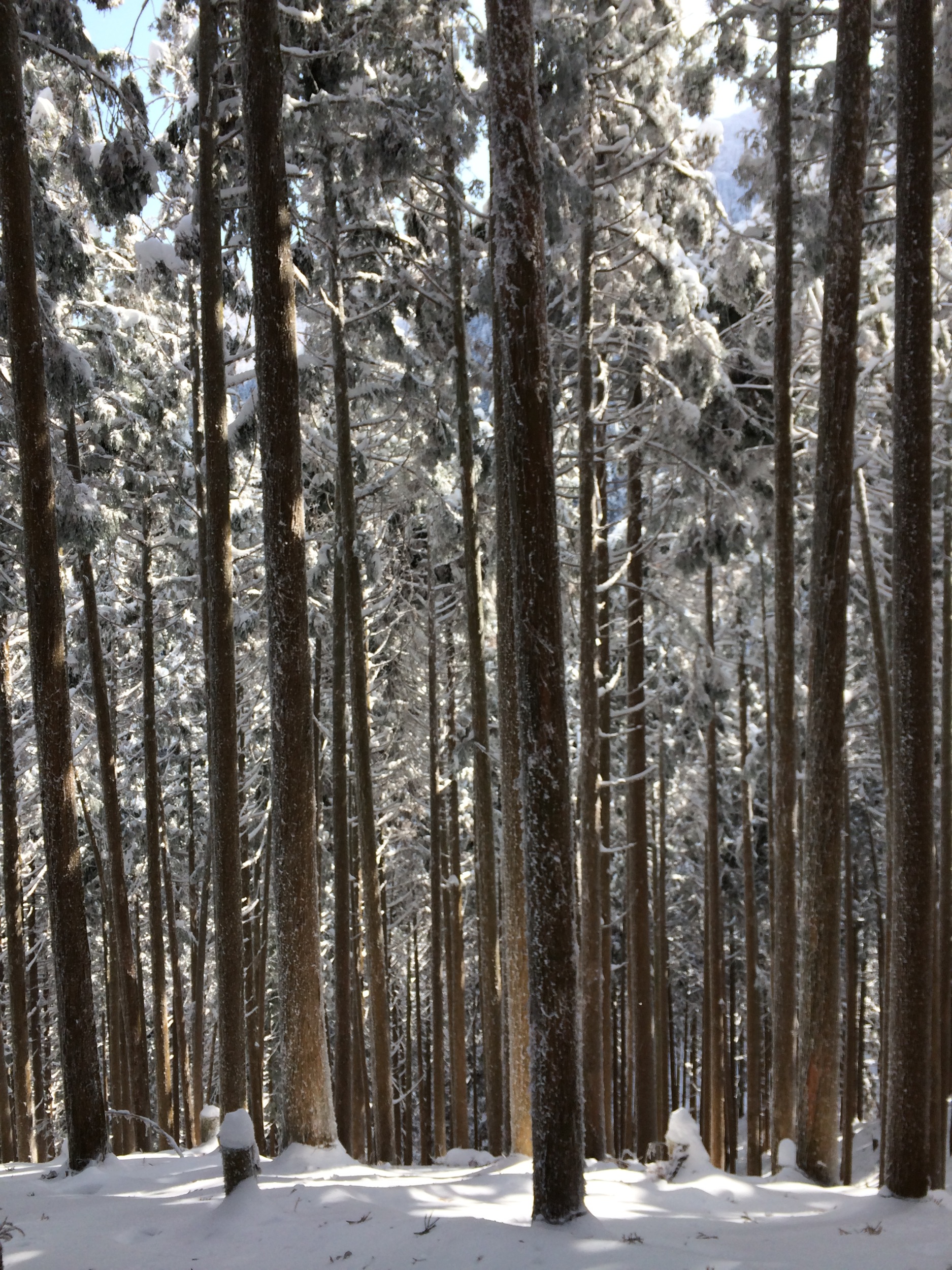
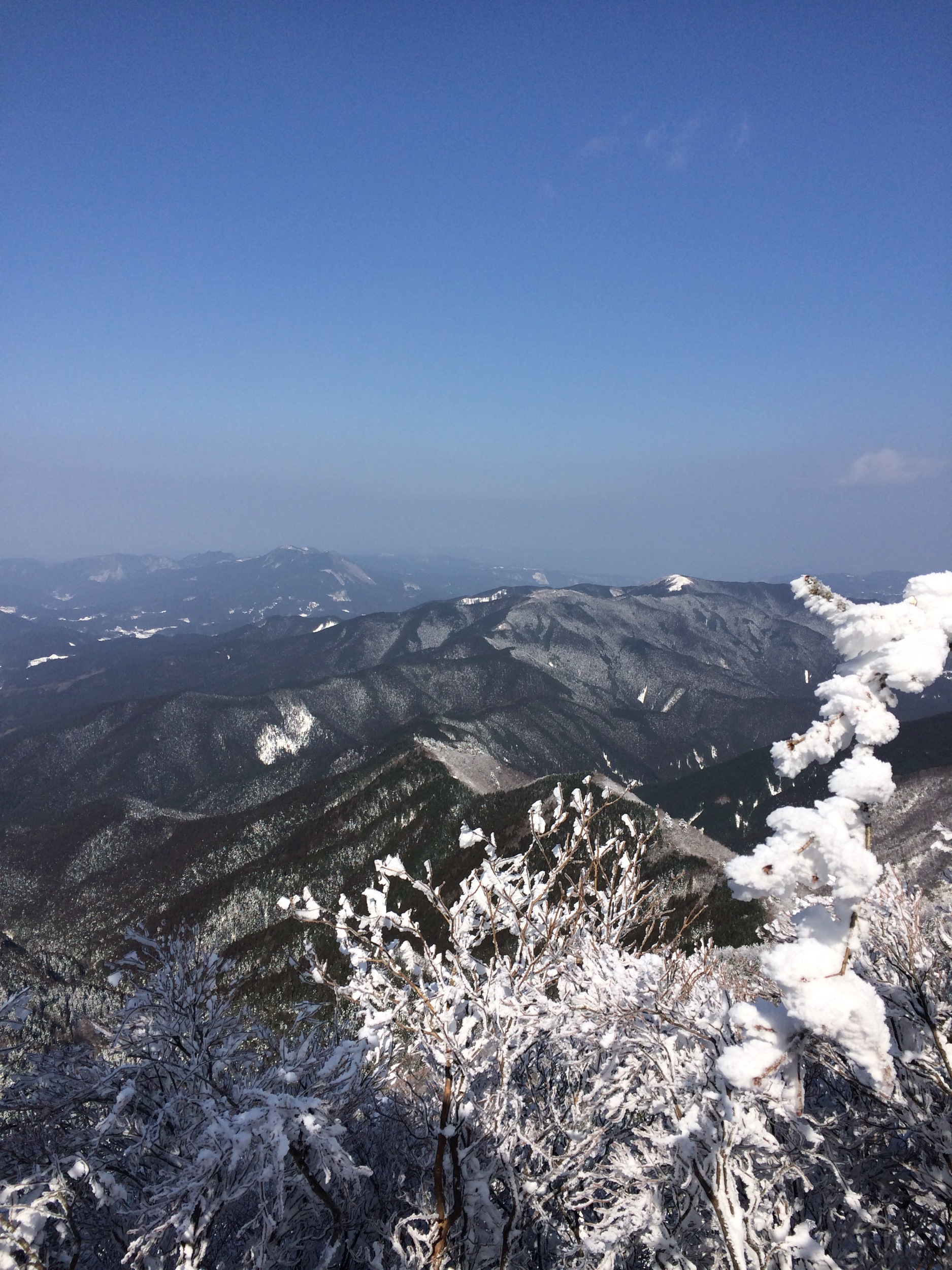
三峰山
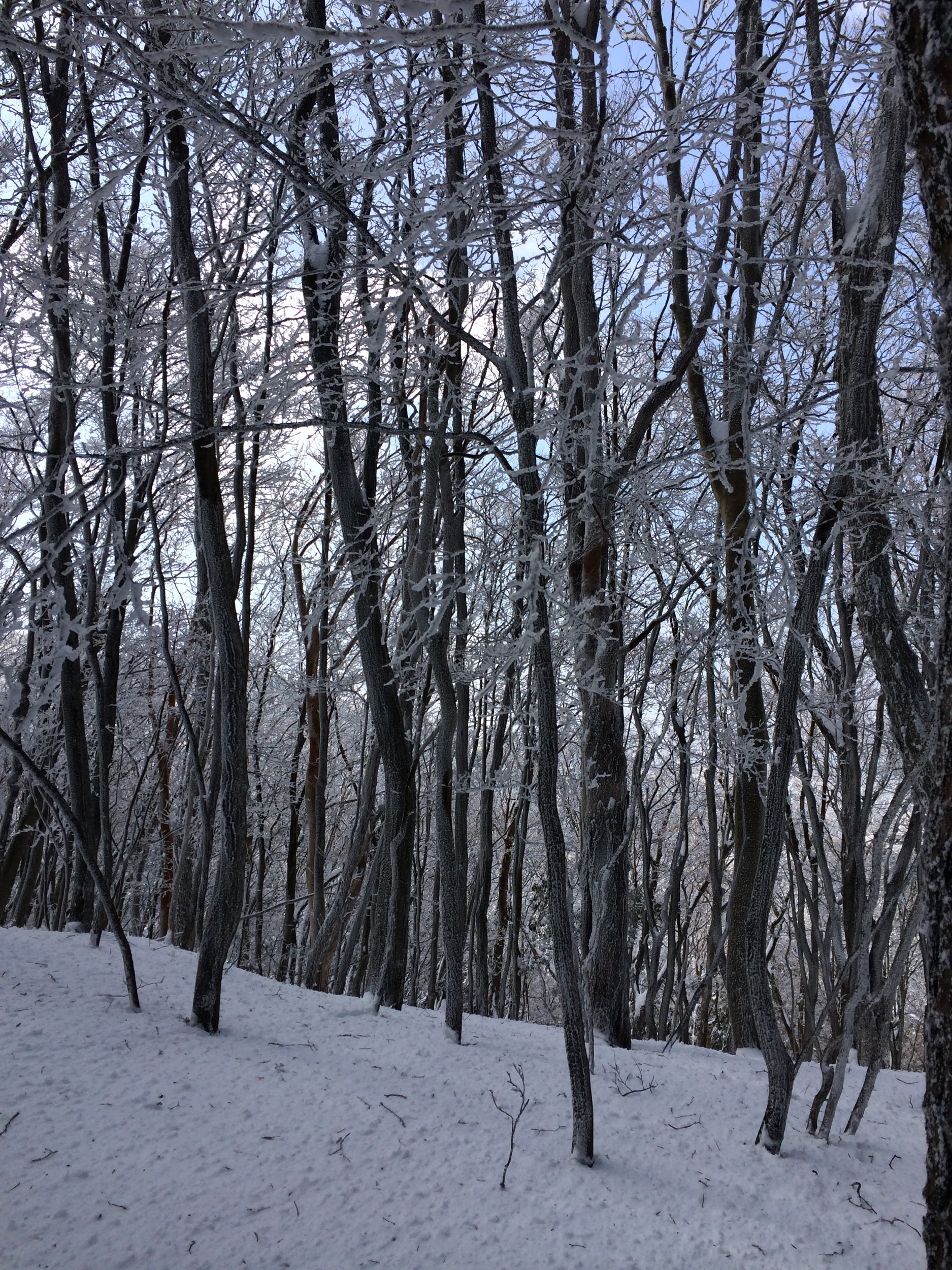
三峰山
三峰山
三峰山
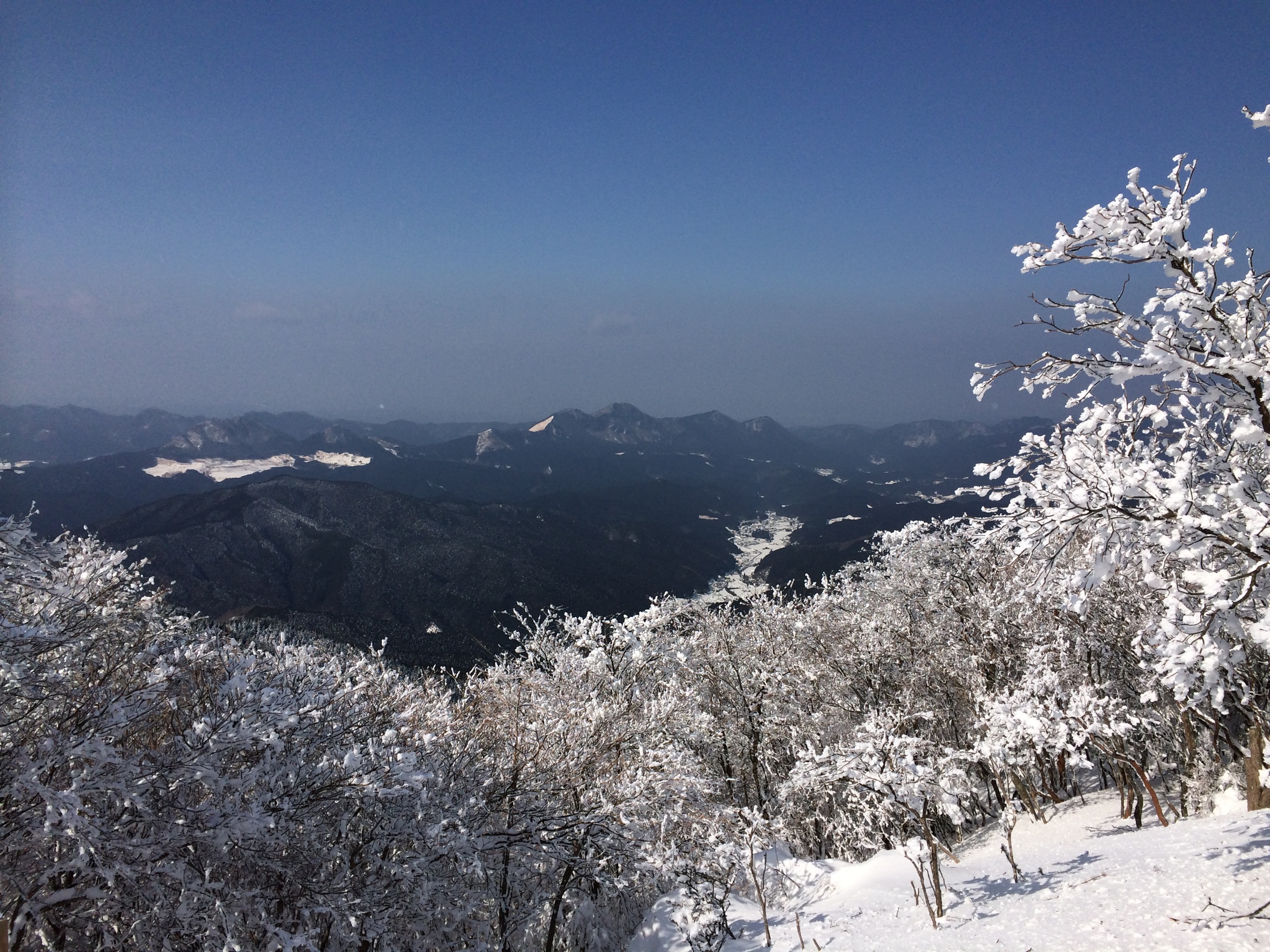
三峰山
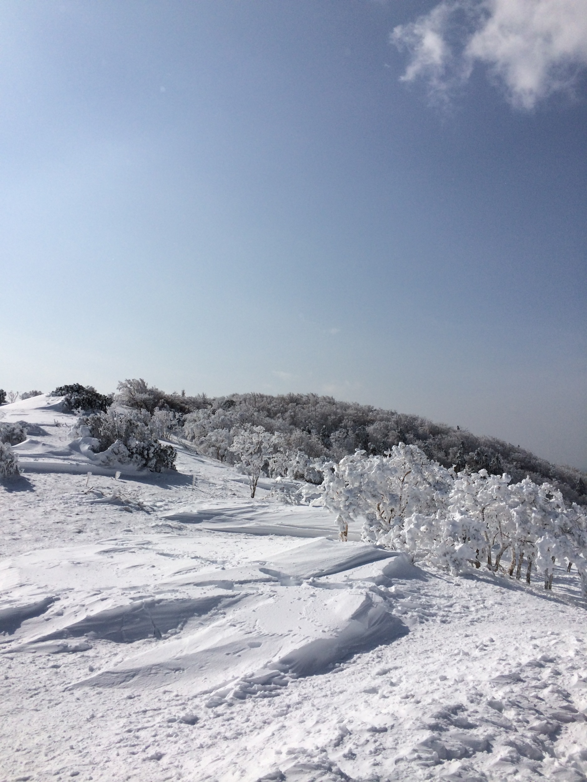
三峰山
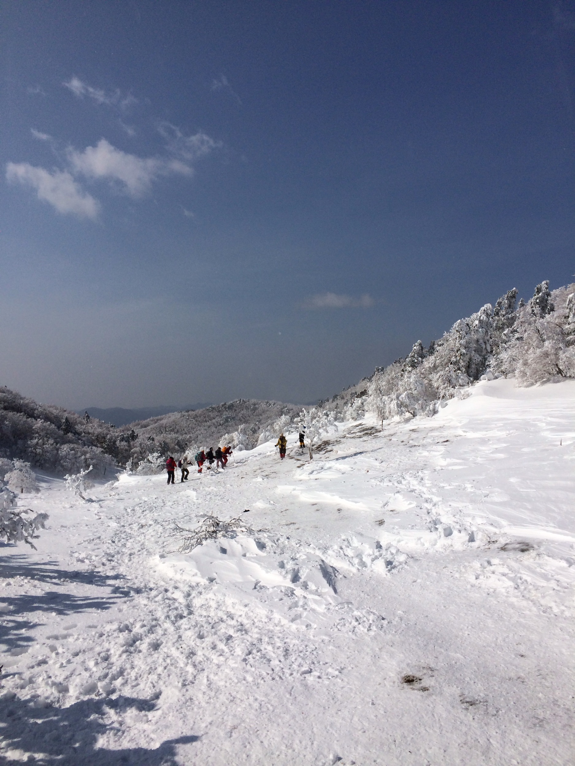
三峰山
三峰山

10年前の台風で山が崩れて数メートルの岩が積み重なった崩壊地を登る
荷坂峠 マンボウの丘
Topographic Map of Taki District, Mie Prefecture, Japan
Find elevation by address:

Places in Taki District, Mie Prefecture, Japan:
Places near Taki District, Mie Prefecture, Japan:
Mobara, Ōdai-chō, Taki-gun, Mie-ken -, Japan
Kihoku
Kiinagashimaku Shimahara, Kihoku-chō, Kitamuro-gun, Mie-ken -, Japan
Sugano, Mitsue-mura, Uda-gun, Nara-ken -, Japan
Mitsue
Kitamuro District
Uda District
Soni
Imai, Soni-mura, Uda-gun, Nara-ken -, Japan
Nakaoku, Kawakami-mura, Yoshino-gun, Nara-ken -, Japan
47 Nakaoku, Kawakami-mura, Yoshino-gun, Nara-ken -, Japan
63 Shionoha, Kawakami-mura, Yoshino-gun, Nara-ken -, Japan
7 Chome-49 Kirigaoka, Iga-shi, Mie-ken -, Japan
2 Chome- Kirigaoka, Iga-shi, Mie-ken -, Japan
5-11 Segiyamachō, Owase-shi, Mie-ken -, Japan
Ikari, Kawakami-mura, Yoshino-gun, Nara-ken -, Japan
Owase
Nabari
1 Kōnodai 1 Banchō, Nabari-shi, Mie-ken -, Japan
34 Kashiwagi, Kawakami-mura, Yoshino-gun, Nara-ken -, Japan
Recent Searches:
- Elevation of Unnamed Road, Respublika Severnaya Osetiya — Alaniya, Russia
- Elevation of Verkhny Fiagdon, North Ossetia–Alania Republic, Russia
- Elevation of F. Viola Hiway, San Rafael, Bulacan, Philippines
- Elevation of Herbage Dr, Gulfport, MS, USA
- Elevation of Lilac Cir, Haldimand, ON N3W 2G9, Canada
- Elevation of Harrod Branch Road, Harrod Branch Rd, Kentucky, USA
- Elevation of Wyndham Grand Barbados Sam Lords Castle All Inclusive Resort, End of Belair Road, Long Bay, Bridgetown Barbados
- Elevation of Iga Trl, Maggie Valley, NC, USA
- Elevation of N Co Rd 31D, Loveland, CO, USA
- Elevation of Lindever Ln, Palmetto, FL, USA