Elevation of Taiwan, Yunlin County, Citong Township, 48
Location: Taiwan > Yunlin County > Citong Township > 興貴村 > 興南 >
Longitude: 120.518239
Latitude: 23.7625084
Elevation: 44m / 144feet
Barometric Pressure: 101KPa
Elevation Map:
Satellite Map:
Related Photos:

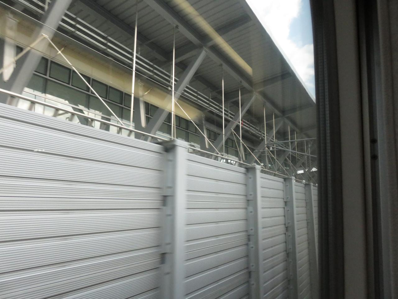
View From THSR Window

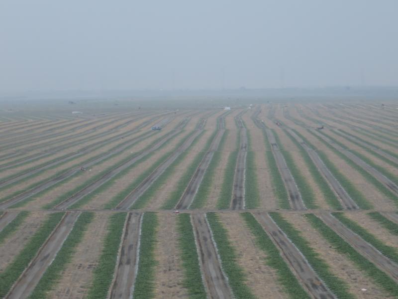
View From THSR Window

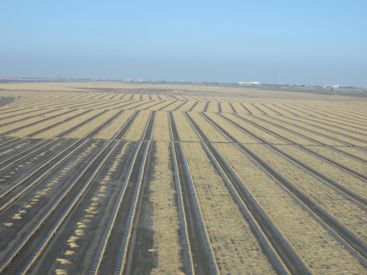
View From THSR Window

View From THSR Window

View From THSR Window

View From THSR Window
View From THSR Window

View From THSR Window
View From THSR Window

View From THSR Window
View From THSR Window

Sunset (View From THSR Window)

View From THSR Window

View From THSR Window

View From THSR Window

View From THSR Window

View From THSR Window

View From THSR Window

View From THSR Window

View From THSR Window

View From THSR Window

Camera Roll-38

賞花4

county highway no.139乙

老家附近‧夕陽

Exercise time #golf #nantou

IMG_0198.JPG

Camera Roll-37

員工旅遊ing

On My Way

2012-04-27 18.08.43
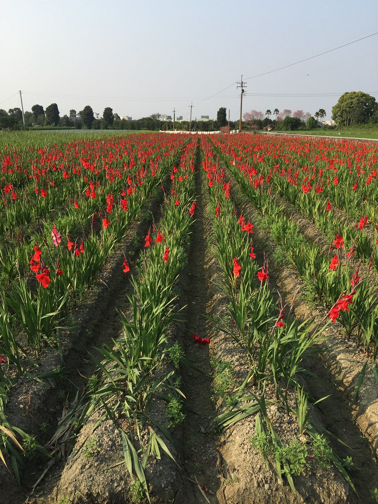
劍蘭

默默地在心中期待什麼?就算得到了又能如何?

After Sunset

暴風雨前的寧靜~!
Topographic Map of Taiwan, Yunlin County, Citong Township, 48
Find elevation by address:

Places near Taiwan, Yunlin County, Citong Township, 48:
興南
興貴村
No. 53, Heping Rd, Citong Township, Yunlin County, Taiwan
No., Raoping Rd, Citong Township, Yunlin County, Taiwan
Taiwan, Yunlin County, Citong Township, 76
后埔
90-36
大美
饒平村
1-7
Citong Township
大美村
甘厝村
義和村
四合村
No. 67, Chang'an Rd, Douliu City, Yunlin County, Taiwan
116-2
三和
長安里
潮洋村
Recent Searches:
- Elevation of Power Generation Enterprises | Industrial Diesel Generators, Oak Ave, Canyon Country, CA, USA
- Elevation of Chesaw Rd, Oroville, WA, USA
- Elevation of N, Mt Pleasant, UT, USA
- Elevation of 6 Rue Jules Ferry, Beausoleil, France
- Elevation of Sattva Horizon, 4JC6+G9P, Vinayak Nagar, Kattigenahalli, Bengaluru, Karnataka, India
- Elevation of Great Brook Sports, Gold Star Hwy, Groton, CT, USA
- Elevation of 10 Mountain Laurels Dr, Nashua, NH, USA
- Elevation of 16 Gilboa Ln, Nashua, NH, USA
- Elevation of Laurel Rd, Townsend, TN, USA
- Elevation of 3 Nestling Wood Dr, Long Valley, NJ, USA