Elevation of Taiwan, 彰化縣竹塘鄉田頭村
Location: Taiwan > Changhua County > Zhutang Township >
Longitude: 120.450165
Latitude: 23.8311578
Elevation: 26m / 85feet
Barometric Pressure: 101KPa
Elevation Map:
Satellite Map:
Related Photos:

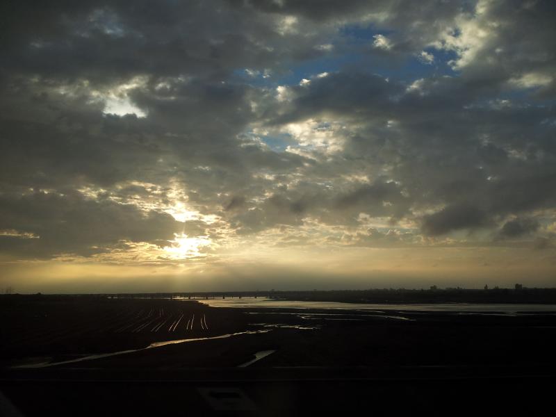
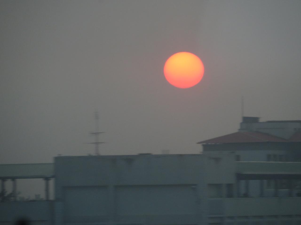
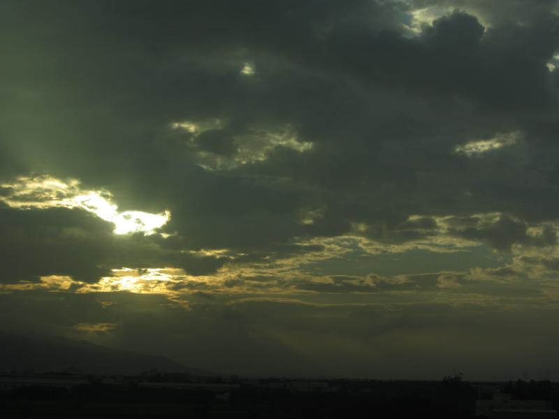
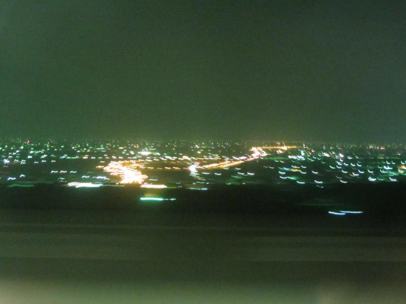
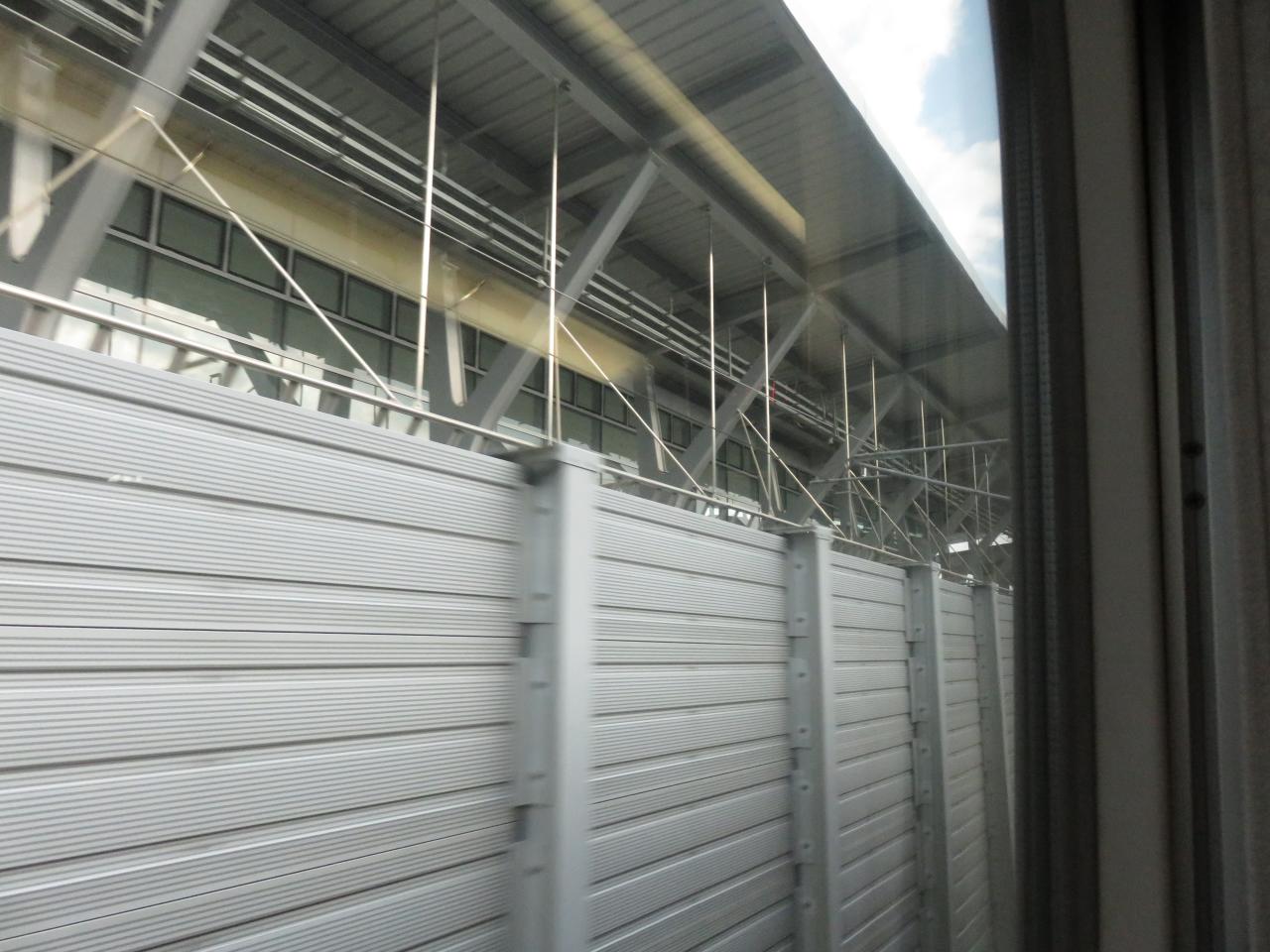
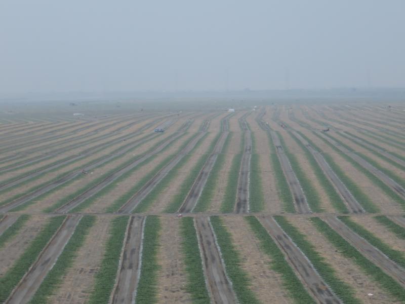
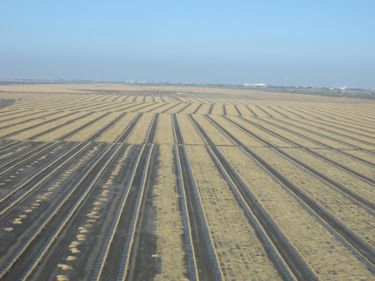
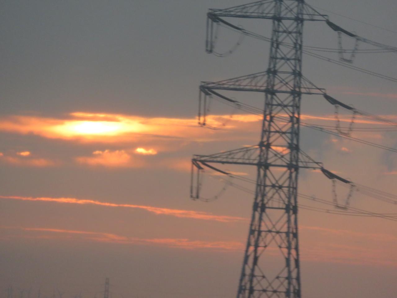
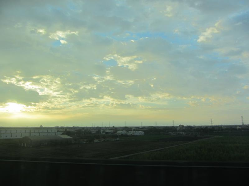
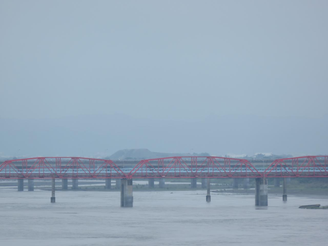
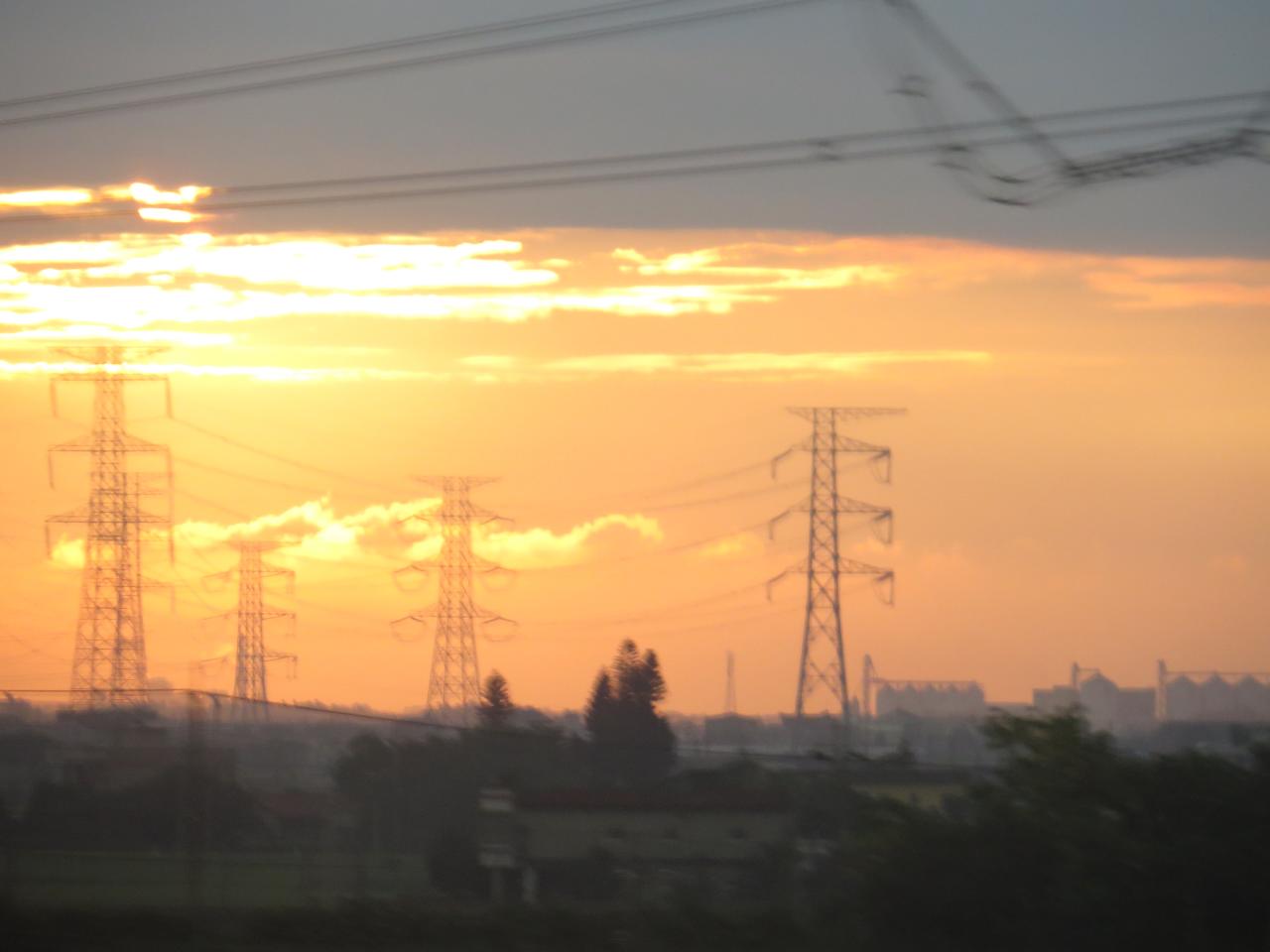
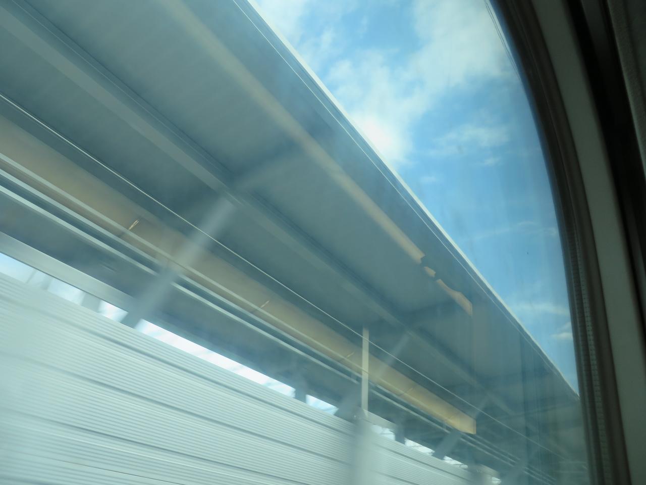
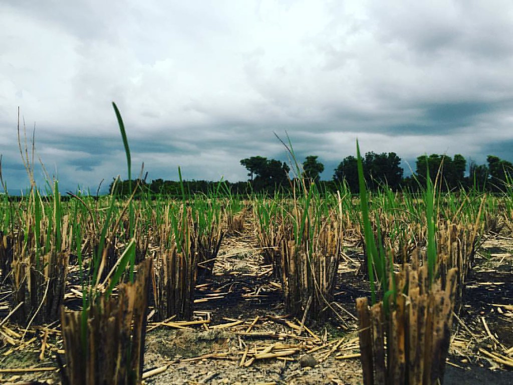
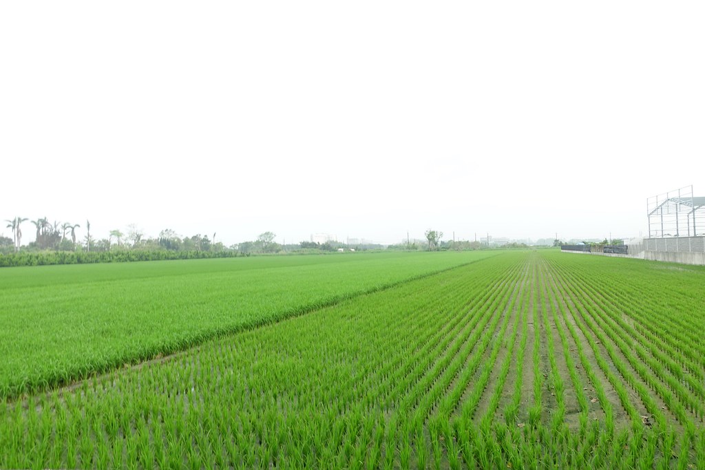
View From THSR Window
View From THSR Window
View From THSR Window
View From THSR Window
View From THSR Window
View From THSR Window
View From THSR Window
View From THSR Window

View From THSR Window
View From THSR Window
View From THSR Window
View From THSR Window
View From THSR Window

View From THSR Window
View From THSR Window
View From THSR Window

View From THSR Window

View From THSR Window
View From THSR Window
View From THSR Window
View From THSR Window
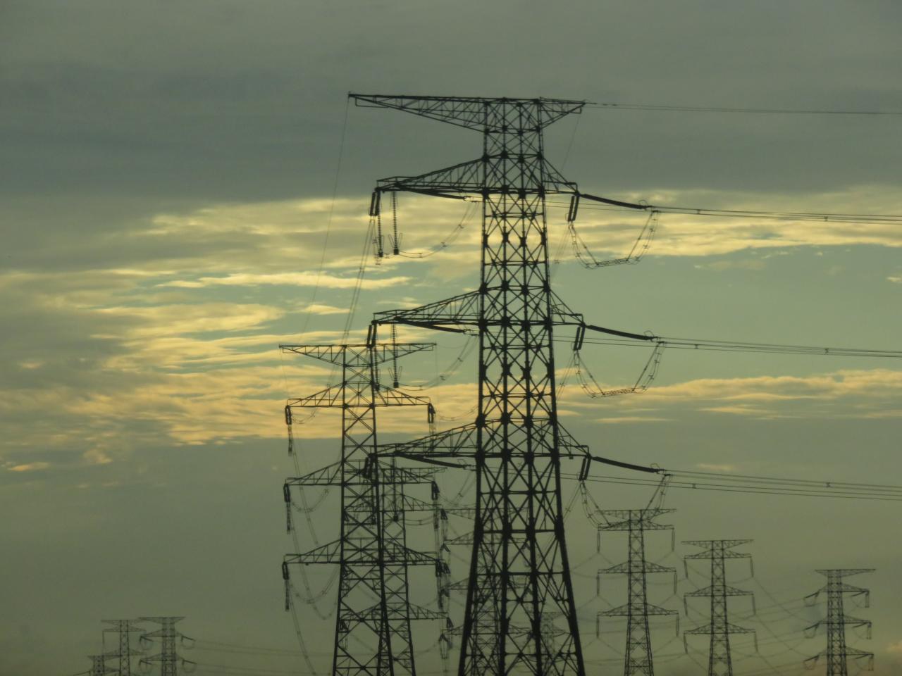
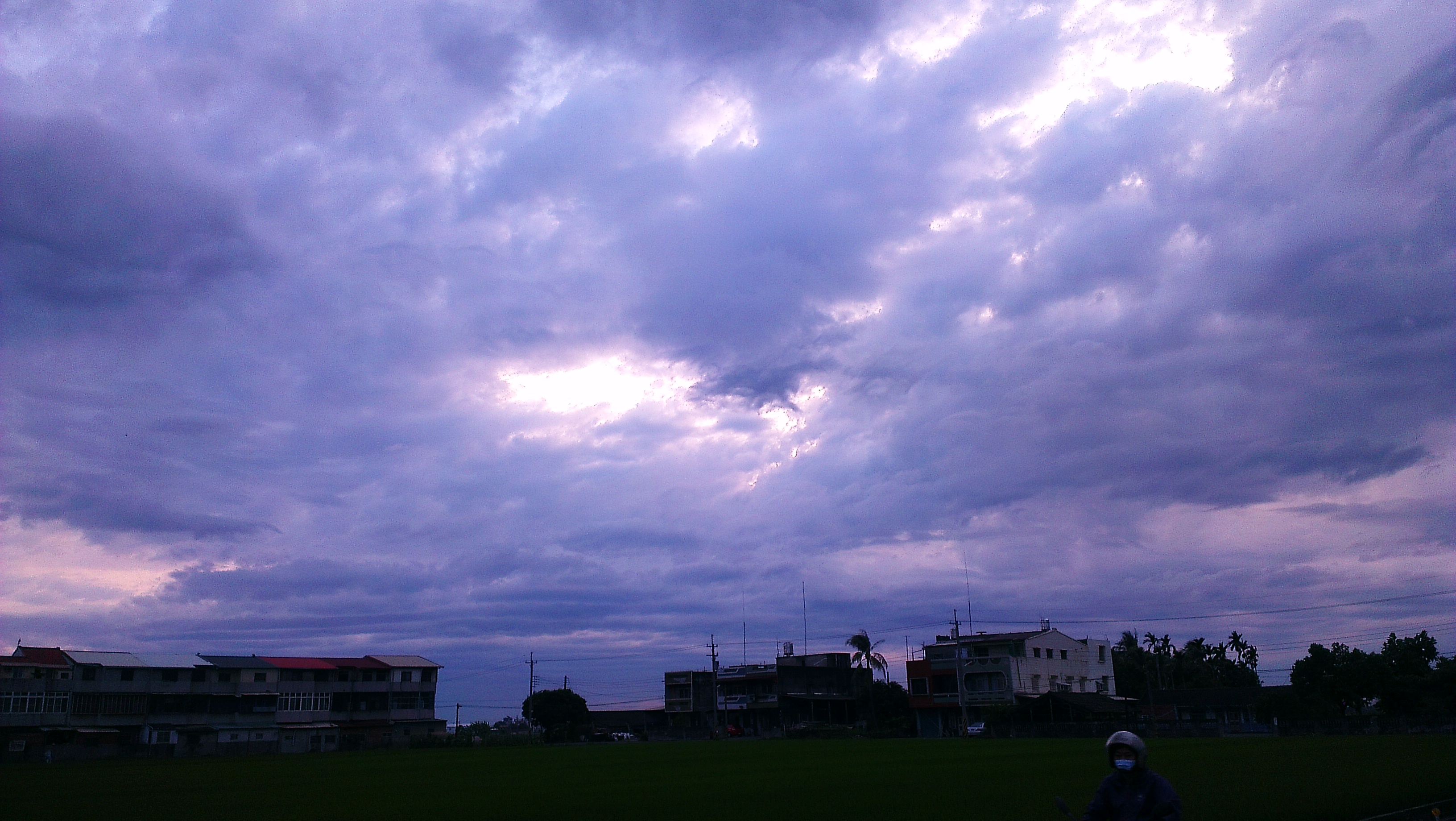
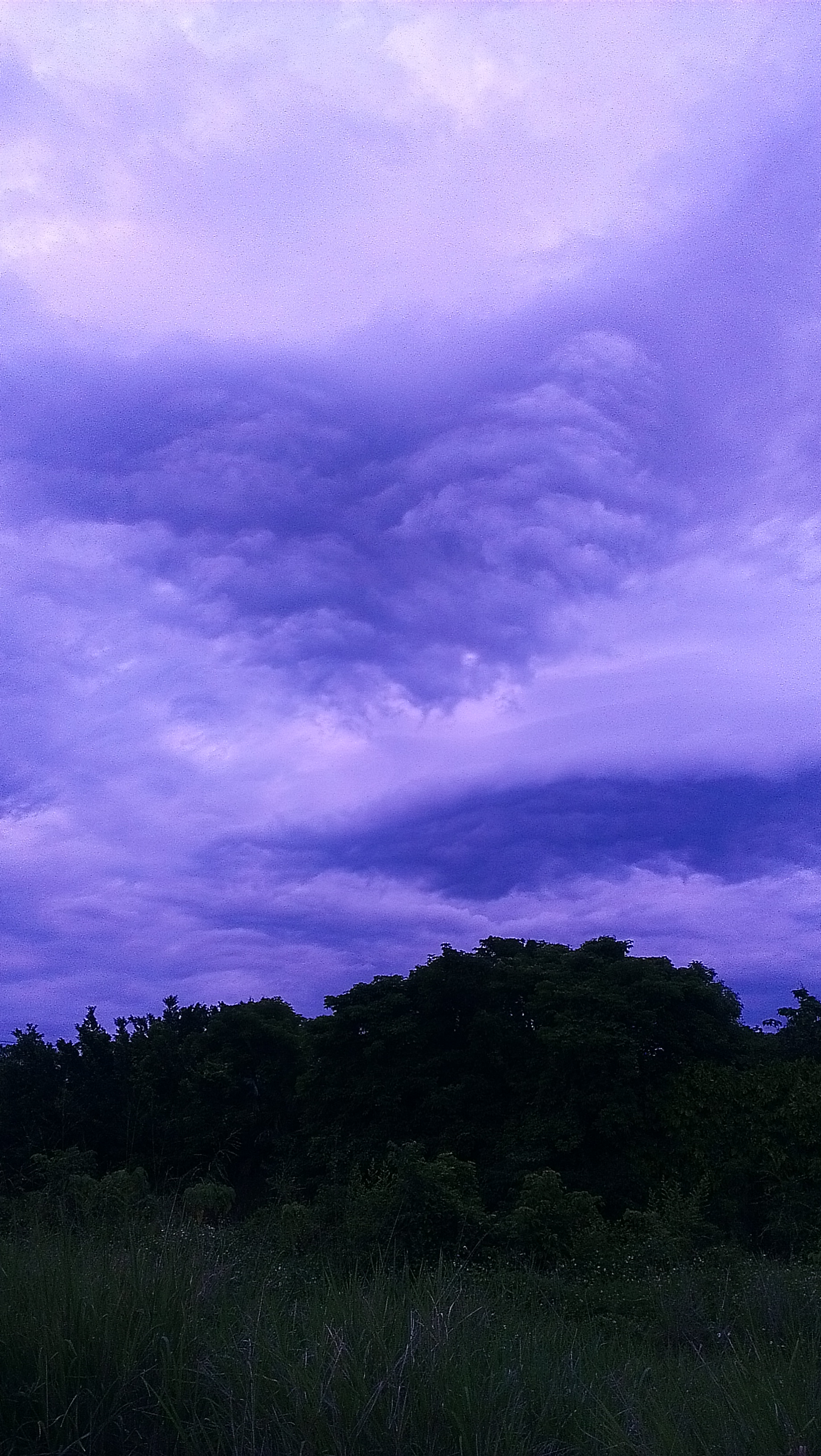
暴風雨前的寧靜~!

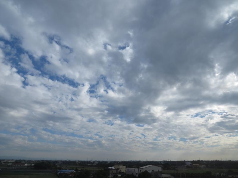
賞花4

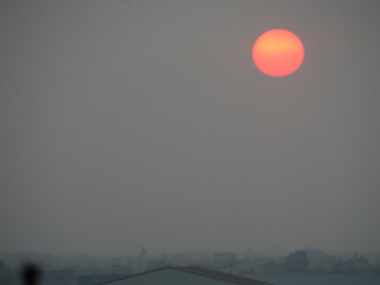
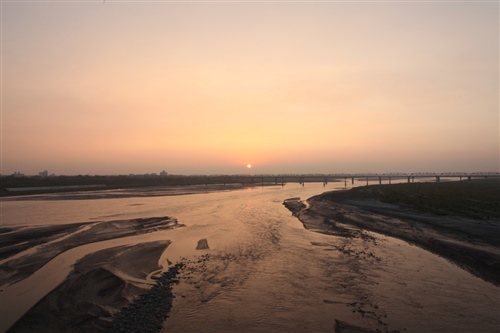
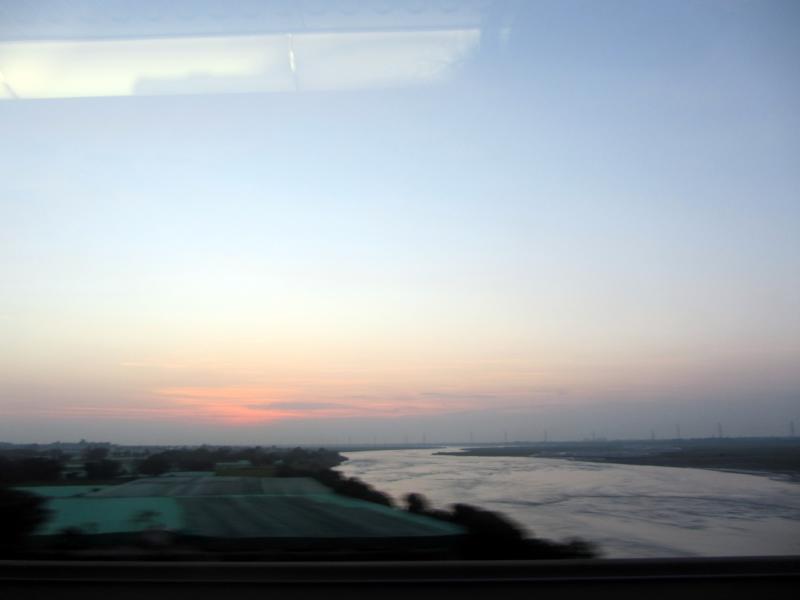
老家附近‧夕陽
IMG_0198.JPG
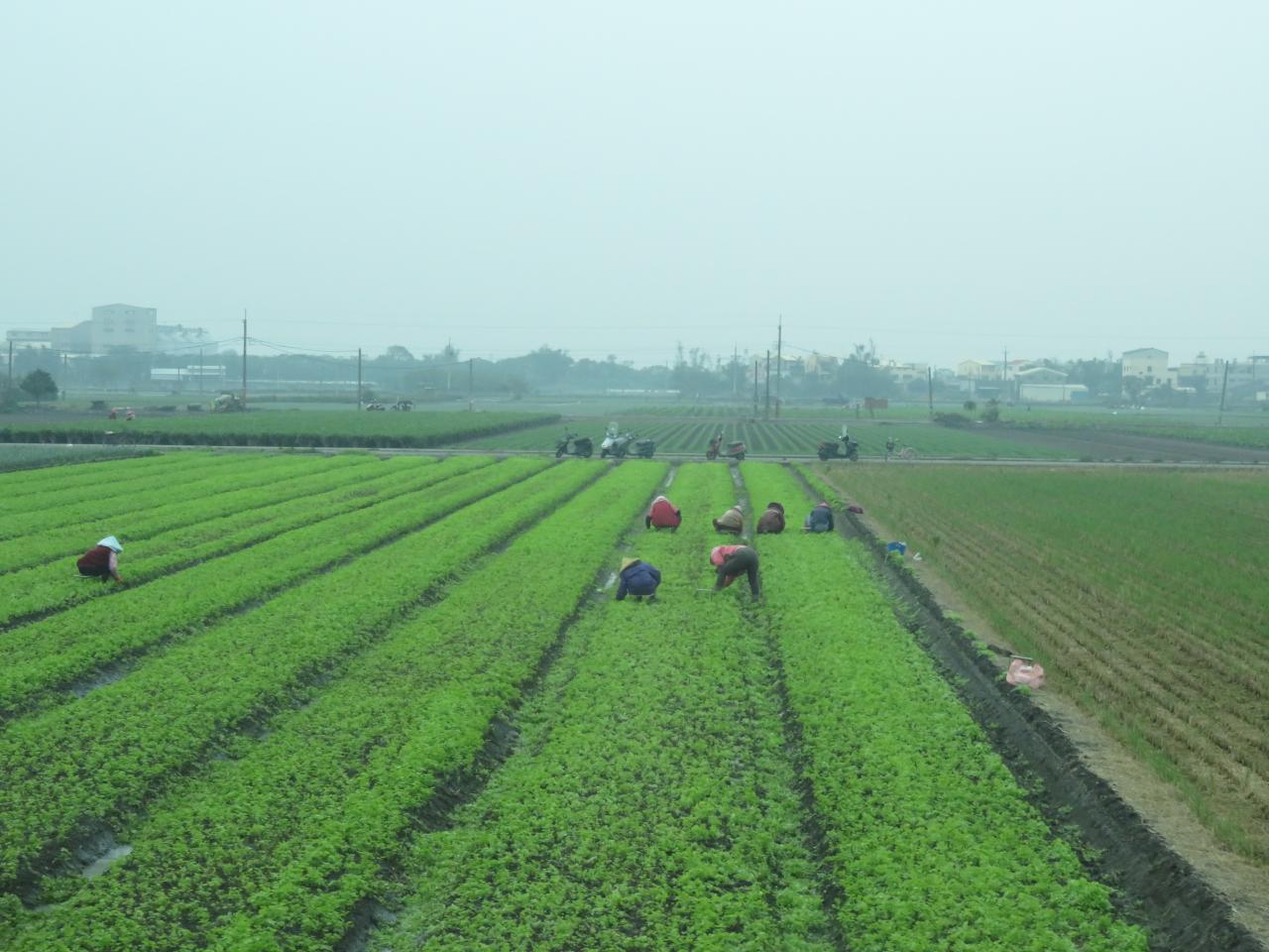
員工旅遊ing
2012-04-27 18.08.43
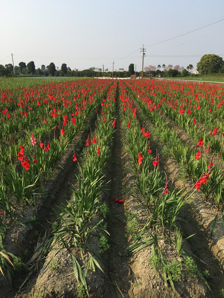
劍蘭

默默地在心中期待什麼?就算得到了又能如何?
After Sunset

2012-04-24 18.26.03
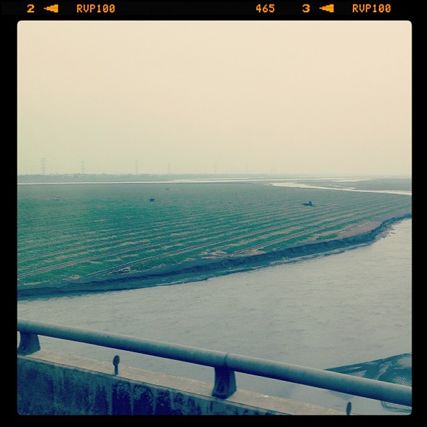
THSR Shuttle Bus (Yunlin)
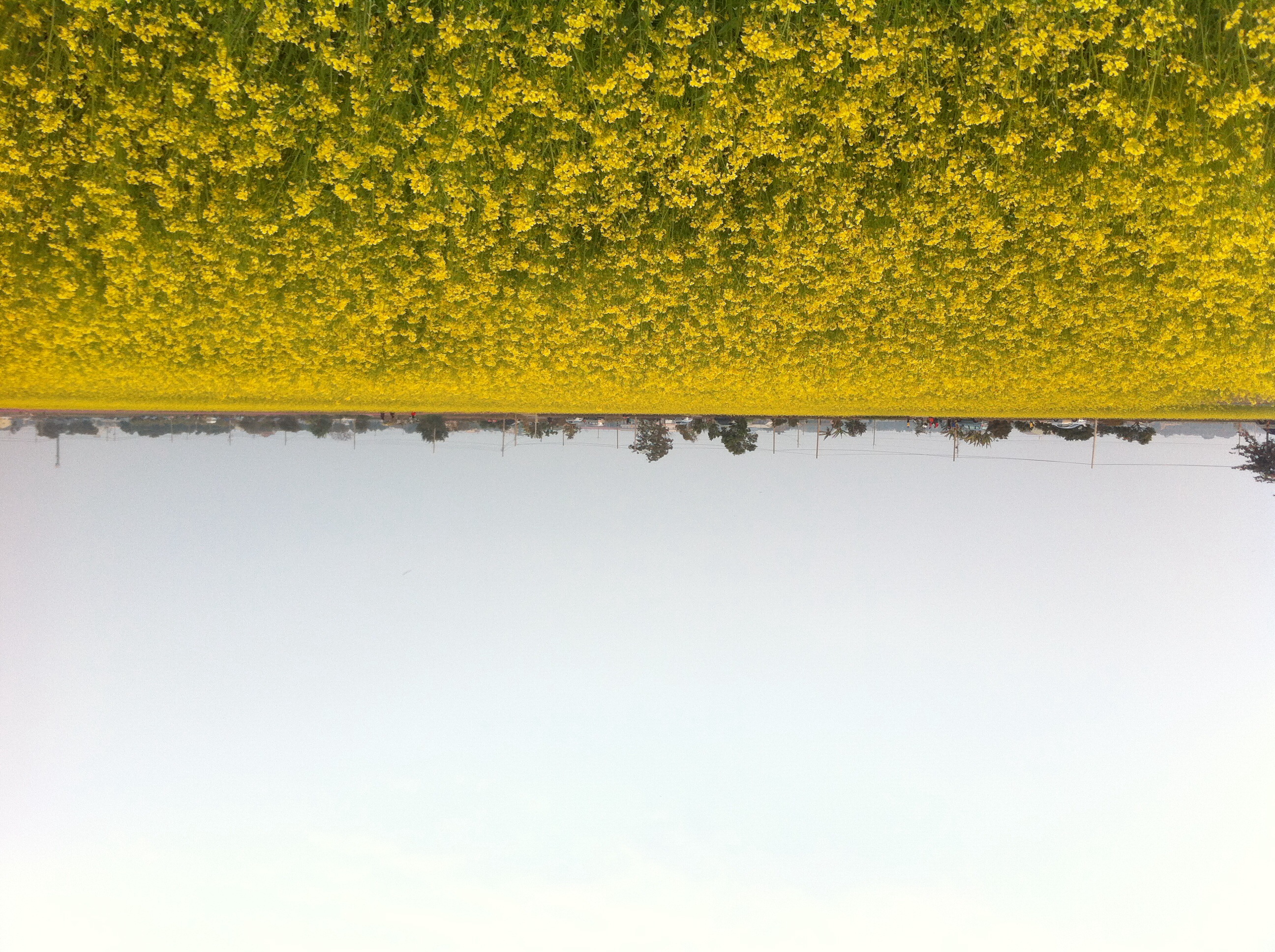
油菜花
DSC03236.JPG
2012-04-27 18.10.29

Camera Roll-1563
Topographic Map of Taiwan, 彰化縣竹塘鄉田頭村
Find elevation by address:

Places in Taiwan, 彰化縣竹塘鄉田頭村:
Places near Taiwan, 彰化縣竹塘鄉田頭村:
Taiwan, Changhua County, Zhutang Township, 溪北巷62號
新廣村
Taiwan, Changhua County, Zhutang Township, 光明路廣福巷95號
Zhutang Township
安定里
No., Dahu Rd, Pitou Township, Changhua County, Taiwan
溪厝村
No. 9, Lane 81, Datong Rd, Xiluo Township, Yunlin County, Taiwan
No., Section 1, Zhulin Rd, Zhutang Township, Changhua County, Taiwan
大湖村
廣福里
215-8
竹塘村
菜公村
Taiwan, Changhua County, Zhutang Township, 東陽路一段安平巷61號
大華村
新庄村
Taiwan, Yunlin County, Xiluo Township, 新社路80號
No., Xinzhuang Rd, Pitou Township, Changhua County, Taiwan
No. 60, Dahua Rd, Erlun Township, Yunlin County, Taiwan
Recent Searches:
- Elevation of Crocker Dr, Vacaville, CA, USA
- Elevation of Pu Ngaol Community Meeting Hall, HWHM+3X7, Krong Saen Monourom, Cambodia
- Elevation of Royal Ontario Museum, Queens Park, Toronto, ON M5S 2C6, Canada
- Elevation of Groblershoop, South Africa
- Elevation of Power Generation Enterprises | Industrial Diesel Generators, Oak Ave, Canyon Country, CA, USA
- Elevation of Chesaw Rd, Oroville, WA, USA
- Elevation of N, Mt Pleasant, UT, USA
- Elevation of 6 Rue Jules Ferry, Beausoleil, France
- Elevation of Sattva Horizon, 4JC6+G9P, Vinayak Nagar, Kattigenahalli, Bengaluru, Karnataka, India
- Elevation of Great Brook Sports, Gold Star Hwy, Groton, CT, USA