Elevation of Taiwan, 南投縣信義鄉望美村
Location: Taiwan > Nantou County > Xinyi Township >
Longitude: 120.890083
Latitude: 23.6093609
Elevation: 792m / 2598feet
Barometric Pressure: 92KPa
Elevation Map:
Satellite Map:
Related Photos:

The Morning Sunlight...

Husband and Wife Trees(Fuqi Trees夫妻樹)

Hiding In The Woods...
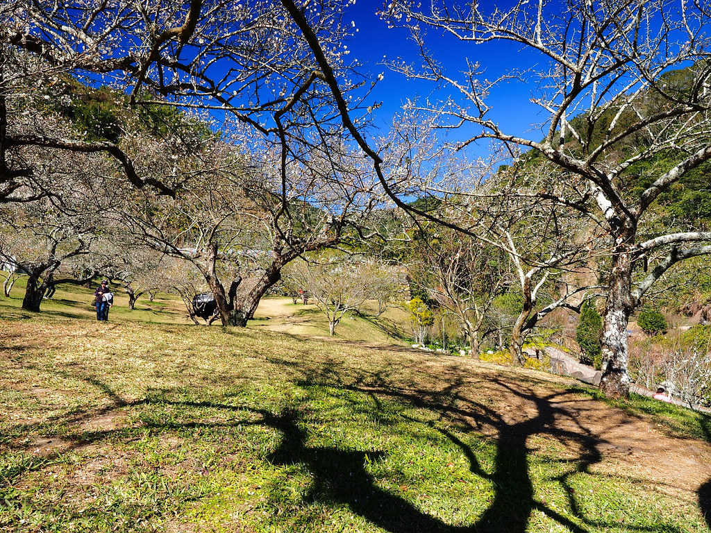
Plum Garden

View From THSR Window

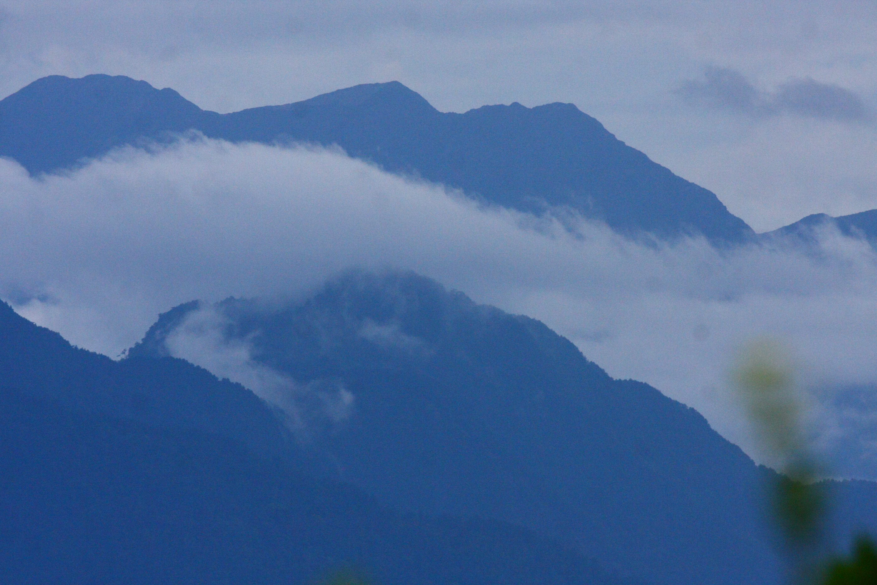
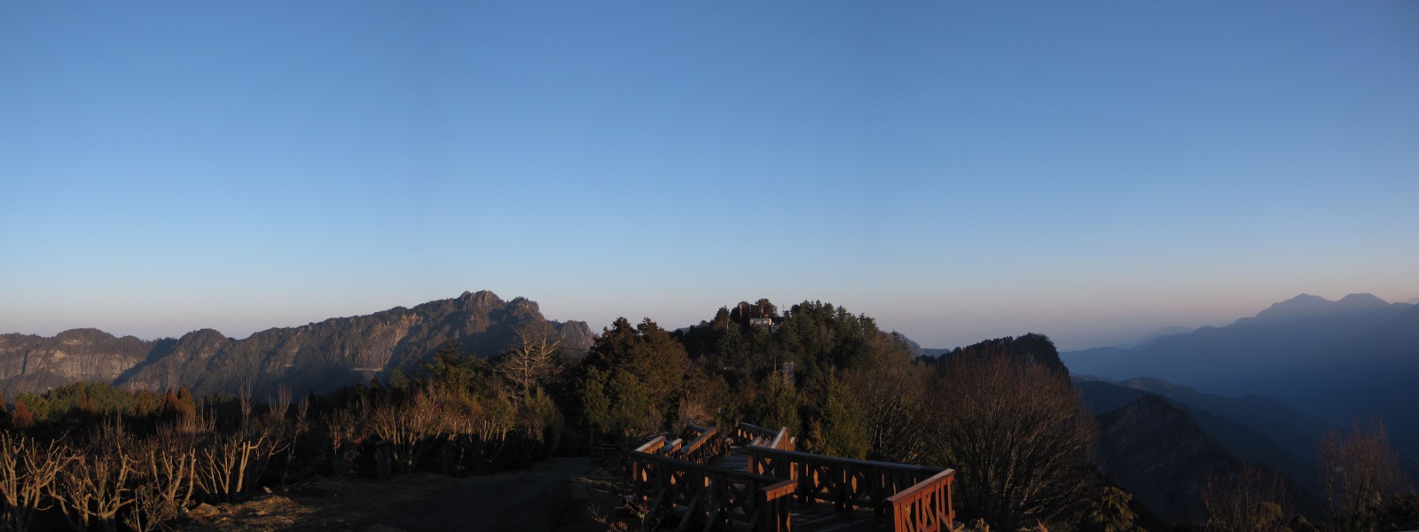
Mt. Jade and Surrounding Mountains

View from Alishan :) Fascinating and freezing cold
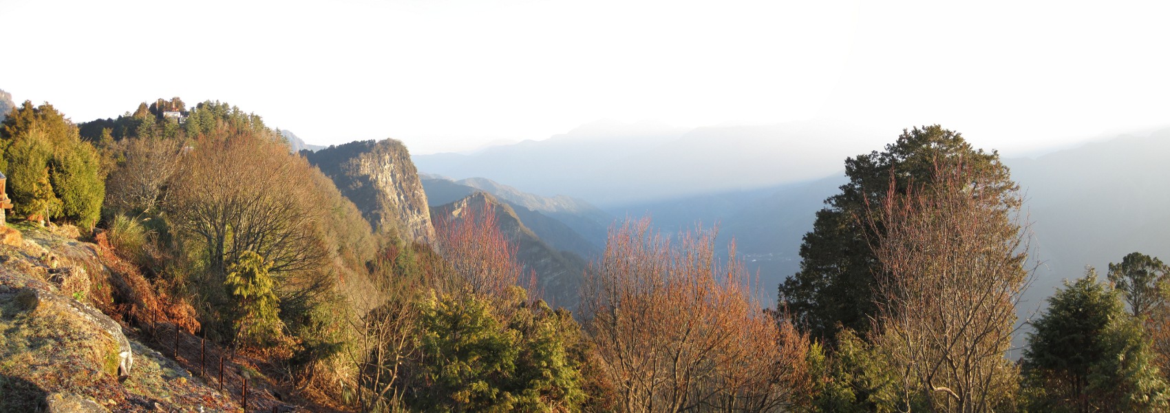
ShiTou - Mountain View

Mt. Jade and Surrounding Mountains

Mt. Jade and Surrounding Mountains
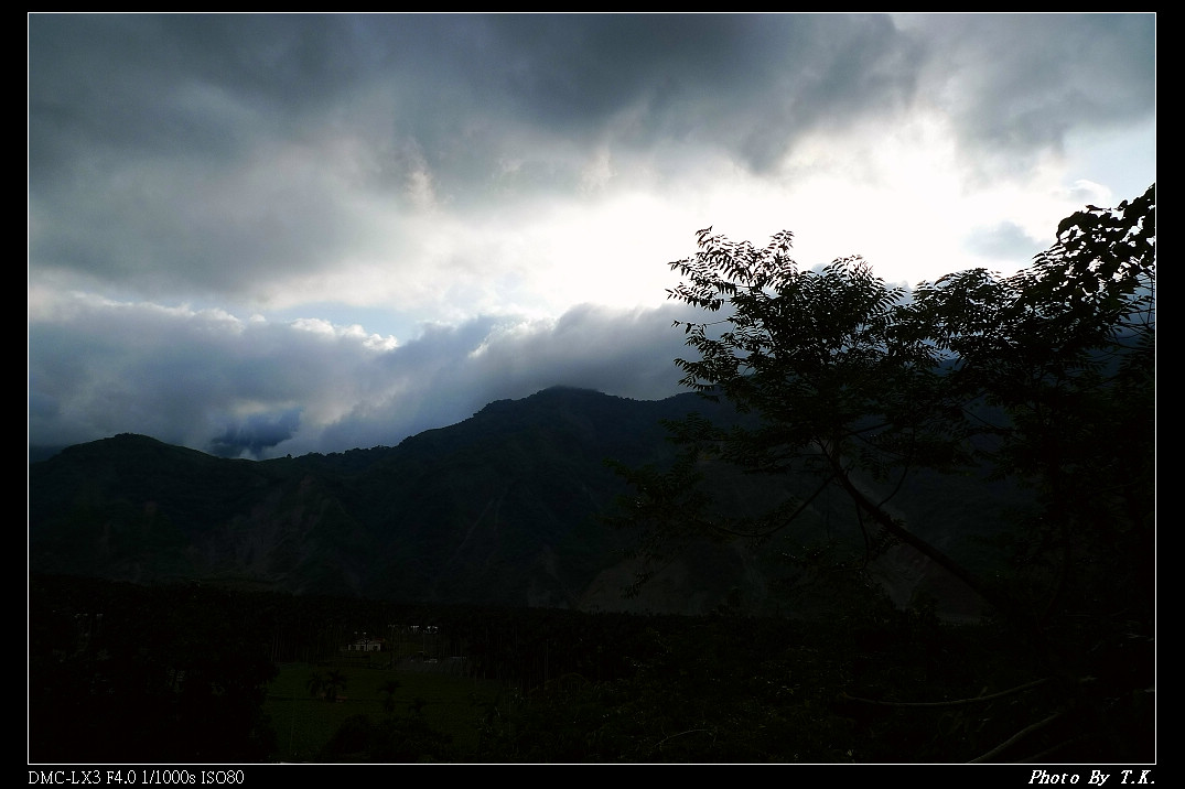
Surrounding Mountains
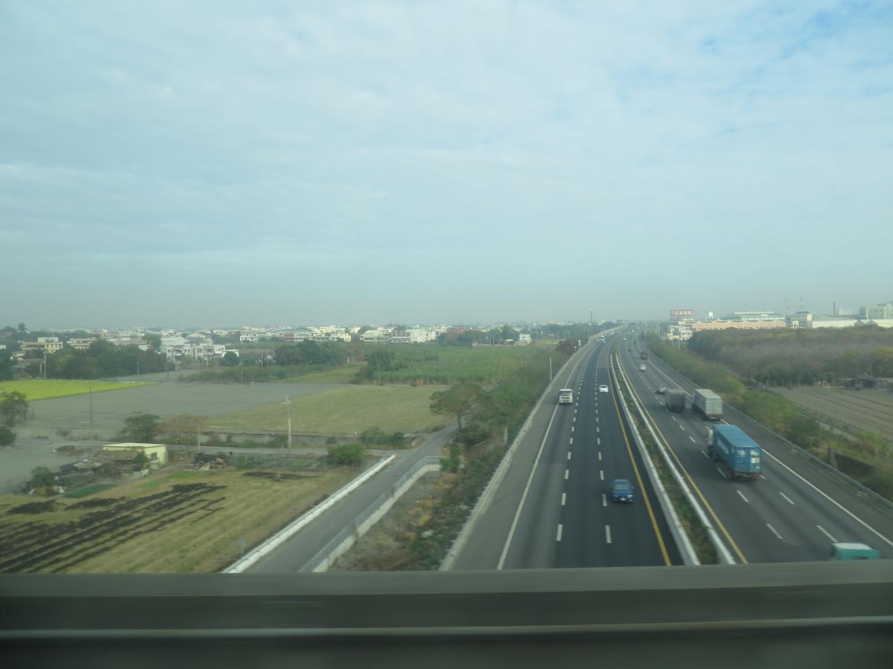
View From THSR Window

Moonlight Loneliness

Mt. Jade and Surrounding Mountains
Surrounding Mountains
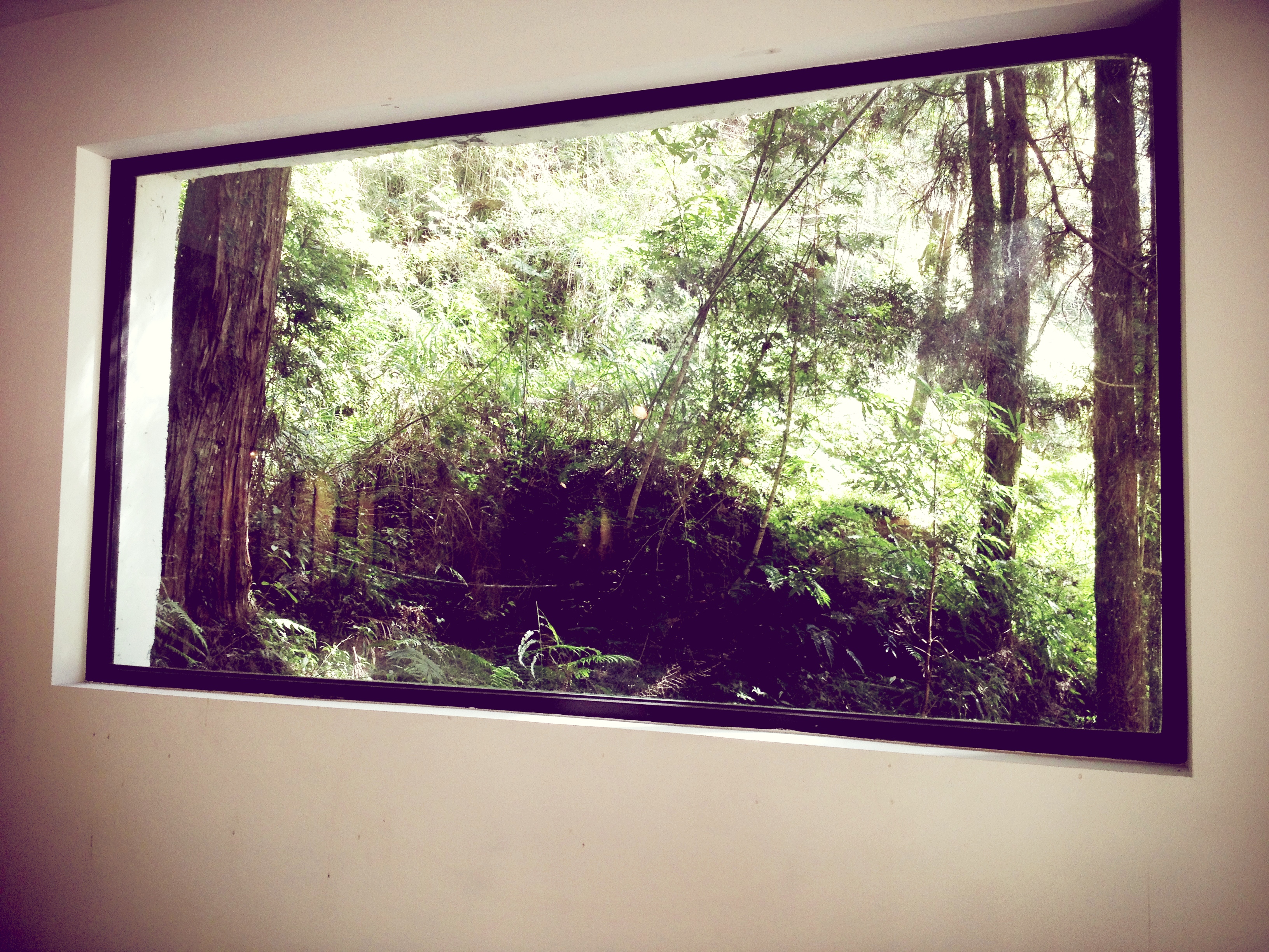
杉林溪 from the window

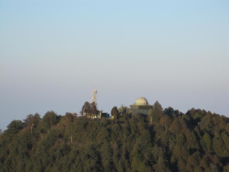
Mt. Ogasawara Observatory
Surrounding Mountains
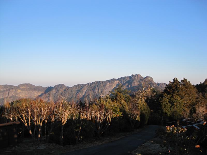
Surrounding Mountains
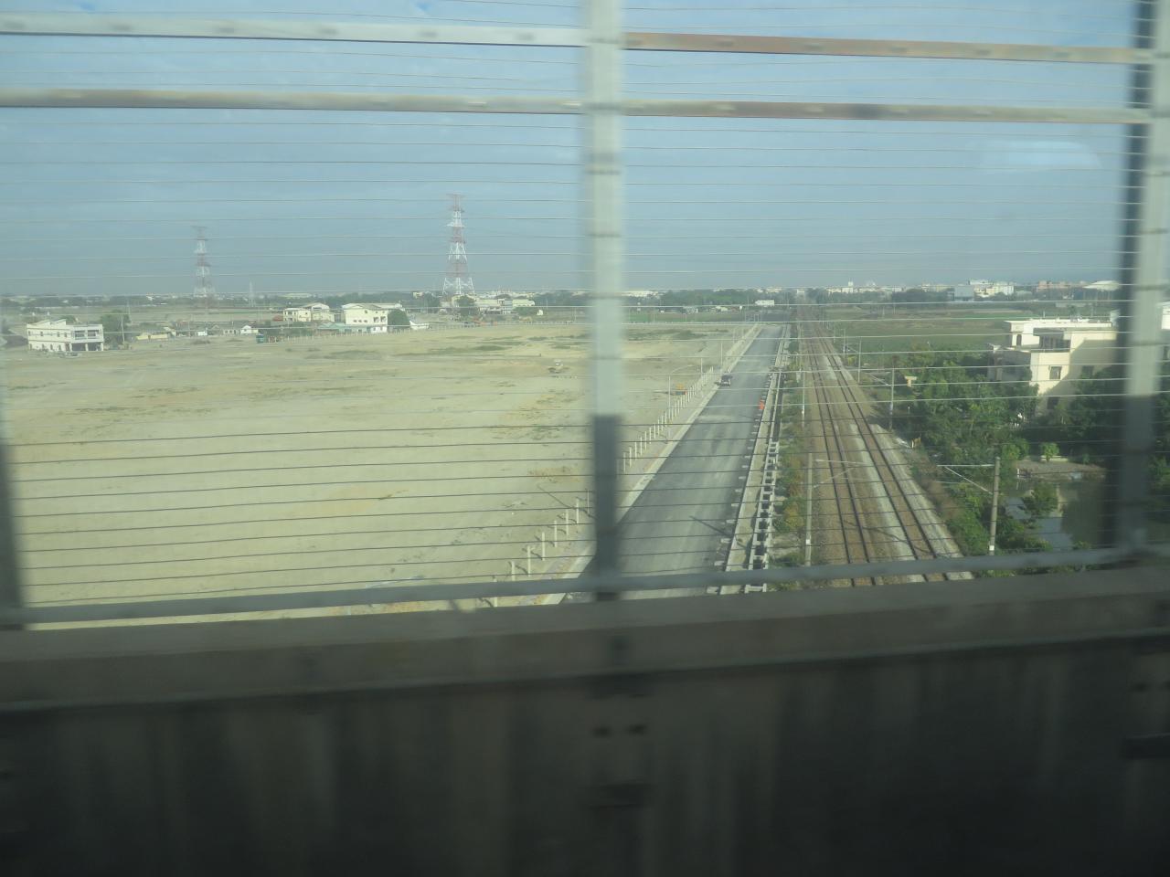
View From THSR Window

褐頭花翼 IMG_2130

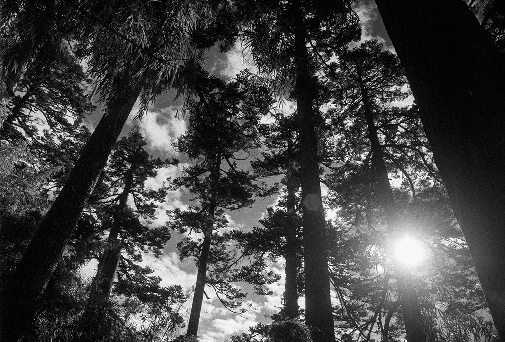
Sunrise at Mt.Dalun,Nantou,Taiwan

南投竹山‧軟鞍八卦茶園
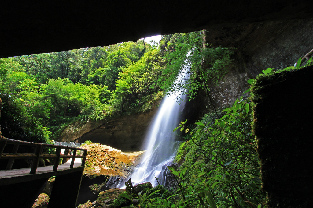
松瀧岩瀑布 Sunlinksea,Nantou,Taiwan
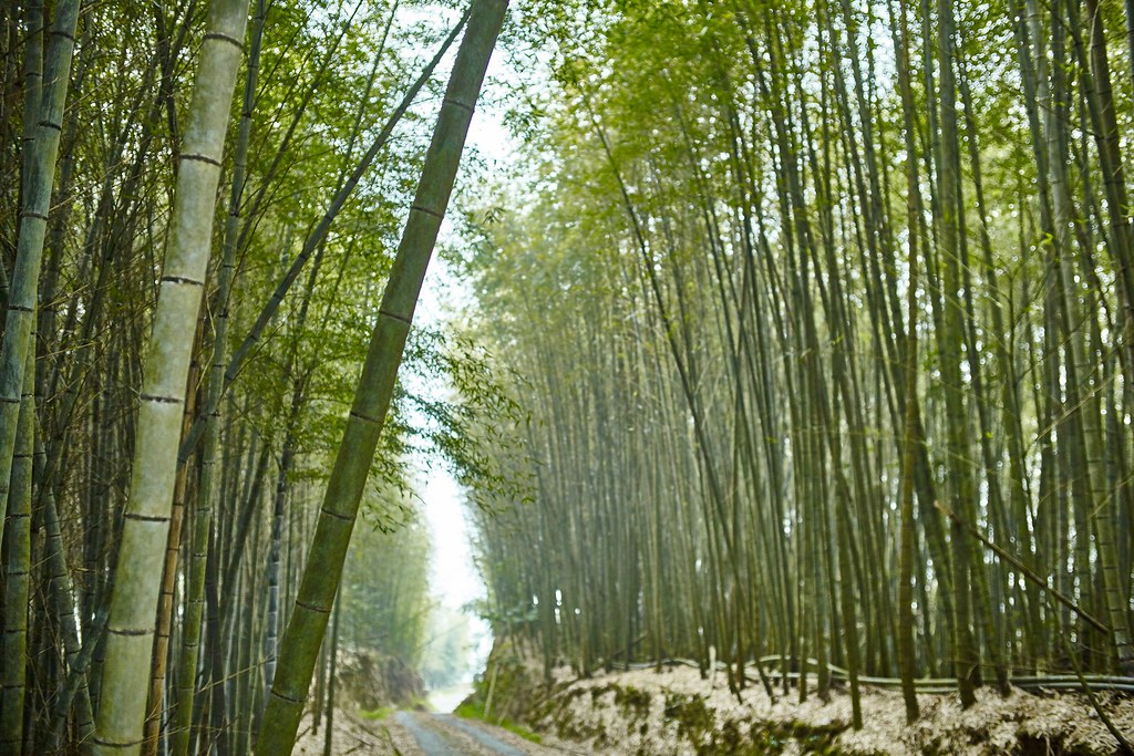
Bamboo (Meng Zong),Mt.Dalun,Nantou,Taiwan

大塔山步道

杉林美景

Sunrise at Mt. Alishan / 阿里山晨光

漫步在森林 Strolling in the forest

PANO_20160101_111524-01

嘉義縣阿里山森林遊樂園區
往排雲山莊

P1000990.JPG

forgotten sorrow forest

南投,東埔村
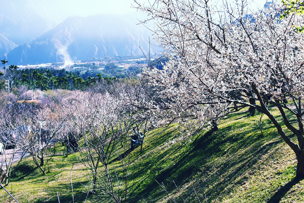
Plum Garden

Mysterious Way
P1000987.JPG

20110924 忘憂森林 A9 DSC06358

sunset from Alishan

回程

IMAG1919.jpg
Topographic Map of Taiwan, 南投縣信義鄉望美村
Find elevation by address:

Places in Taiwan, 南投縣信義鄉望美村:
Places near Taiwan, 南投縣信義鄉望美村:
No. 41, Xinhe Industry Rd, Xinyi Township, Nantou County, Taiwan
67-1
182-1
Taiwan, Nantou County, Xinyi Township, 信筆巷73號
羅娜村
No. 54, Xinxiang Rd, Xinyi Township, Nantou County, Taiwan
Taiwan, Nantou County, Xinyi Township, 新中橫公路21號
Taiwan, Nantou County, Xinyi Township, 陽和巷87號
新鄉村
66-1
Taiwan, Nantou County, Xinyi Township, 高平巷22號
Taiwan, Nantou County, Xinyi Township, 陽和巷76號
自強村
明德村
No. 20, Pinglai Industry Rd, Xinyi Township, Nantou County, Taiwan
No. 21, Sanbu Industry Rd, Xinyi Township, Nantou County, Taiwan
鳳凰林道
人和村
No. 5, Section 3, Shuixin Rd, Xinyi Township, Nantou County, Taiwan
Xitou Parking Lot No. 2
Recent Searches:
- Elevation of East W.T. Harris Boulevard, E W.T. Harris Blvd, Charlotte, NC, USA
- Elevation of West Sugar Creek, Charlotte, NC, USA
- Elevation of Wayland, NY, USA
- Elevation of Steadfast Ct, Daphne, AL, USA
- Elevation of Lagasgasan, X+CQH, Tiaong, Quezon, Philippines
- Elevation of Rojo Ct, Atascadero, CA, USA
- Elevation of Flagstaff Drive, Flagstaff Dr, North Carolina, USA
- Elevation of Avery Ln, Lakeland, FL, USA
- Elevation of Woolwine, VA, USA
- Elevation of Lumagwas Diversified Farmers Multi-Purpose Cooperative, Lumagwas, Adtuyon, RV32+MH7, Pangantucan, Bukidnon, Philippines