Elevation of Taiwan, 彰化縣大城鄉上山村
Location: Taiwan > Changhua County > Dacheng Township >
Longitude: 120.340667
Latitude: 23.8602672
Elevation: 11m / 36feet
Barometric Pressure: 101KPa
Elevation Map:
Satellite Map:
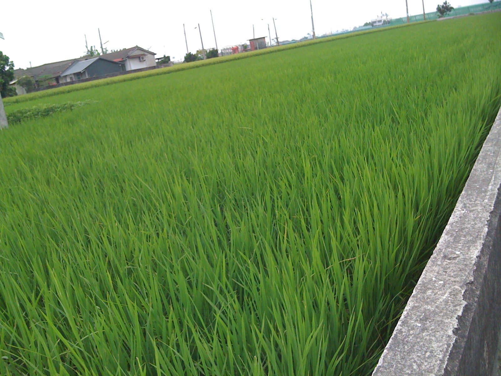
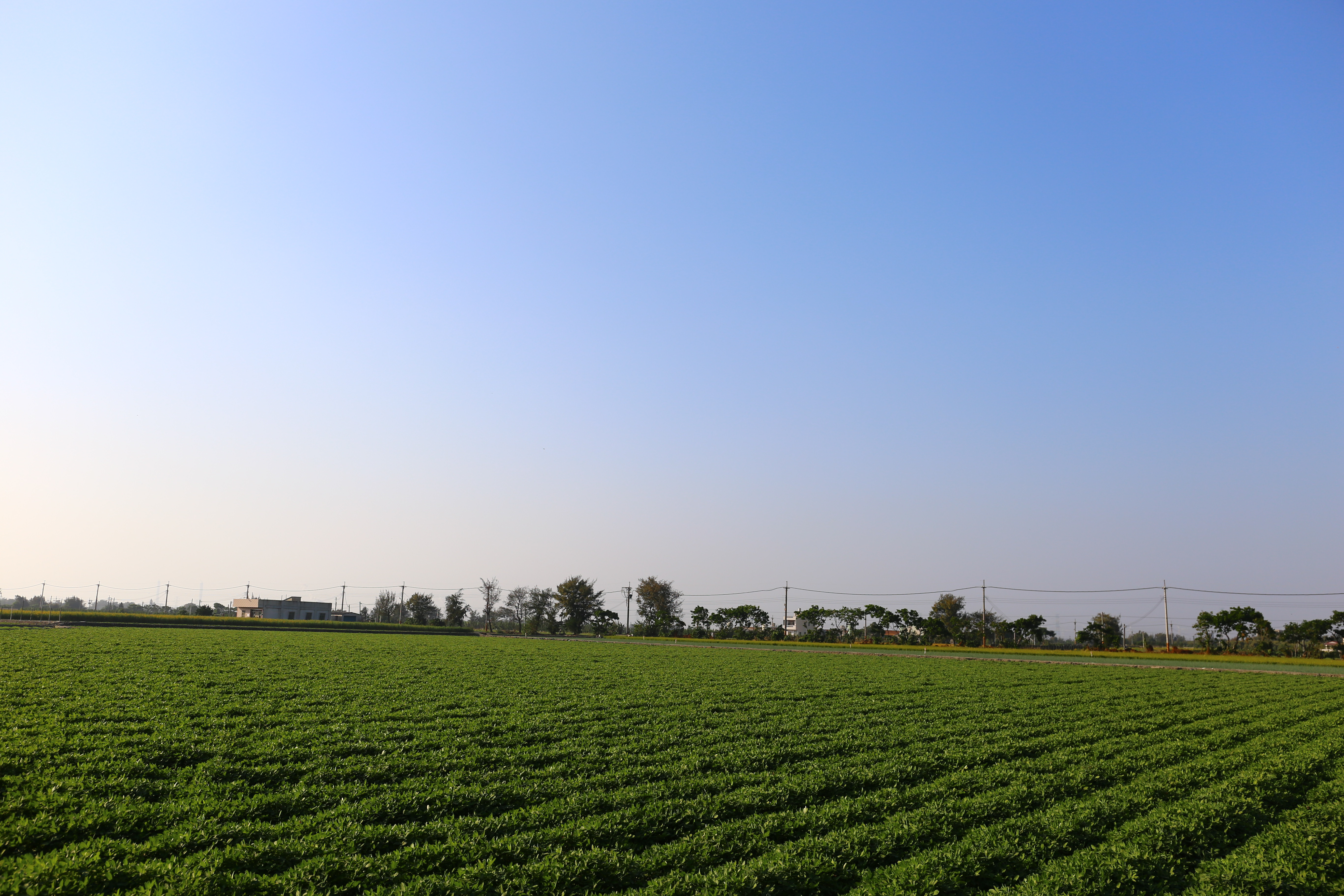
Related Photos:

祈 ~ 順利

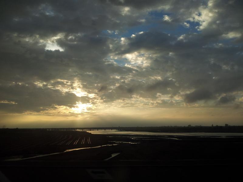
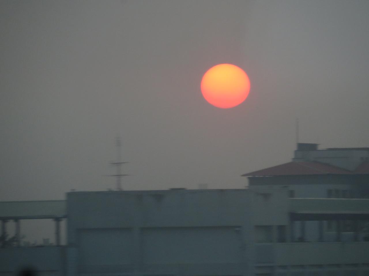
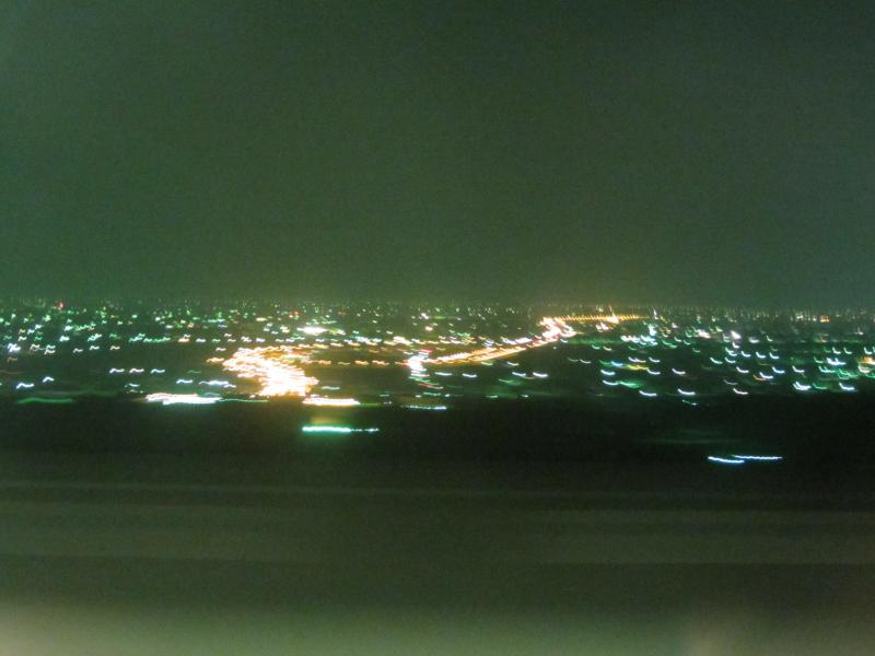
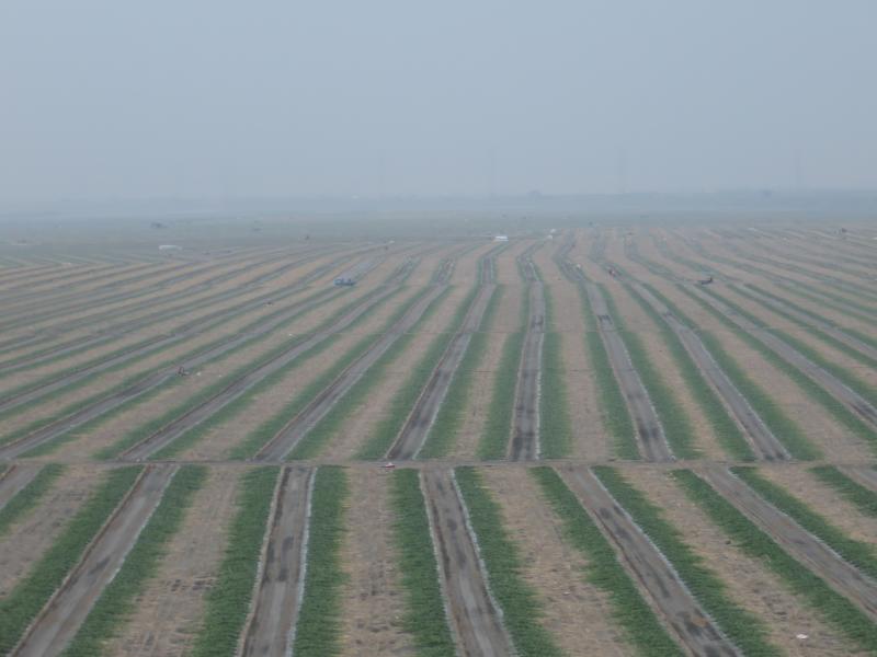
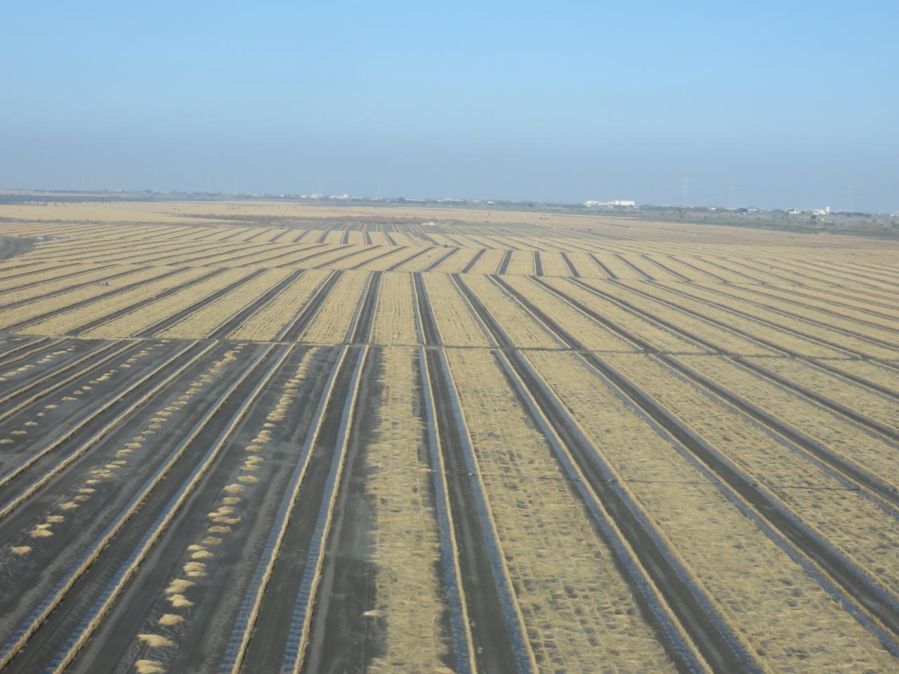
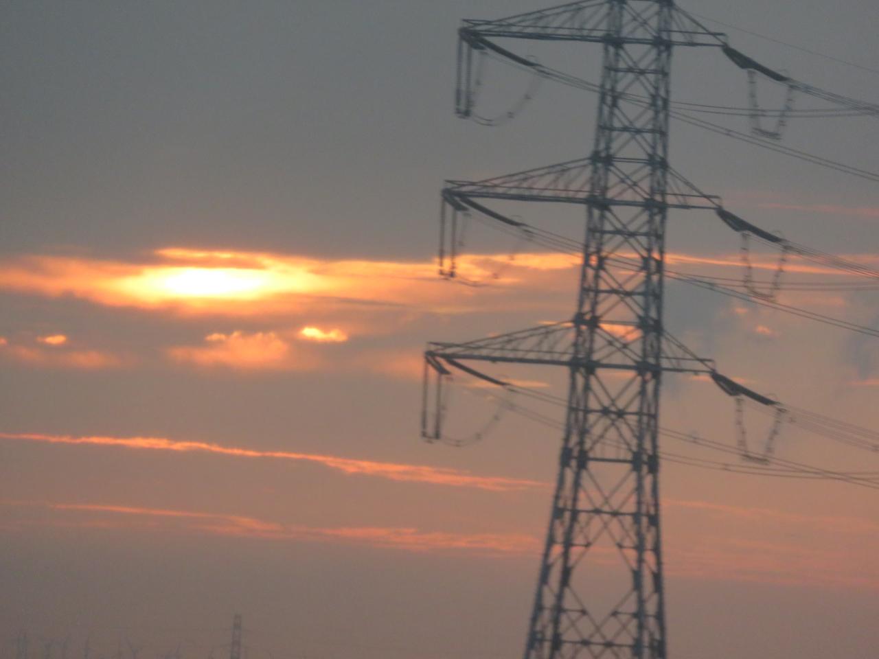
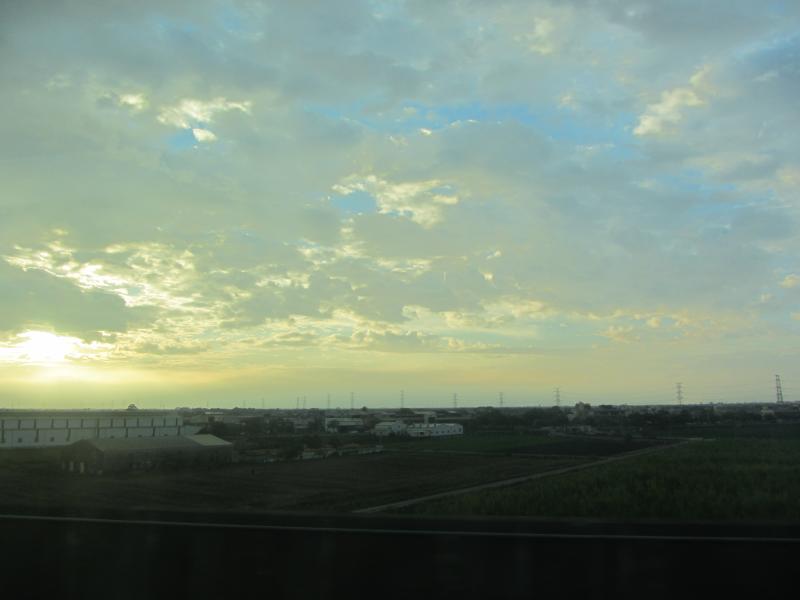
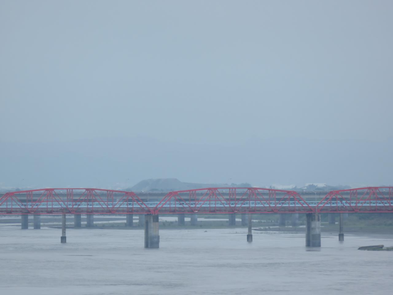
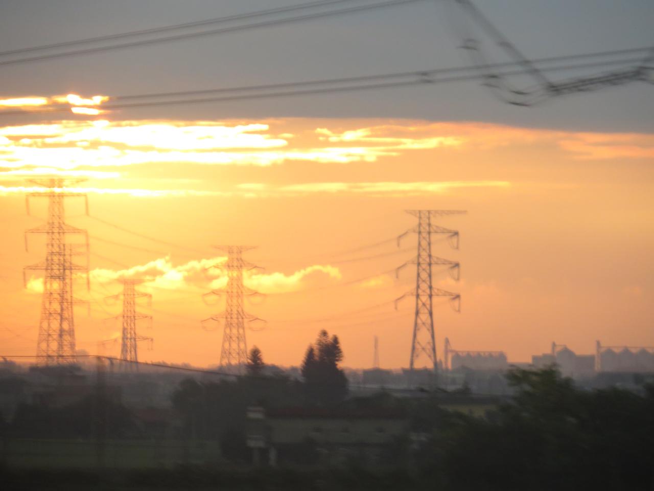
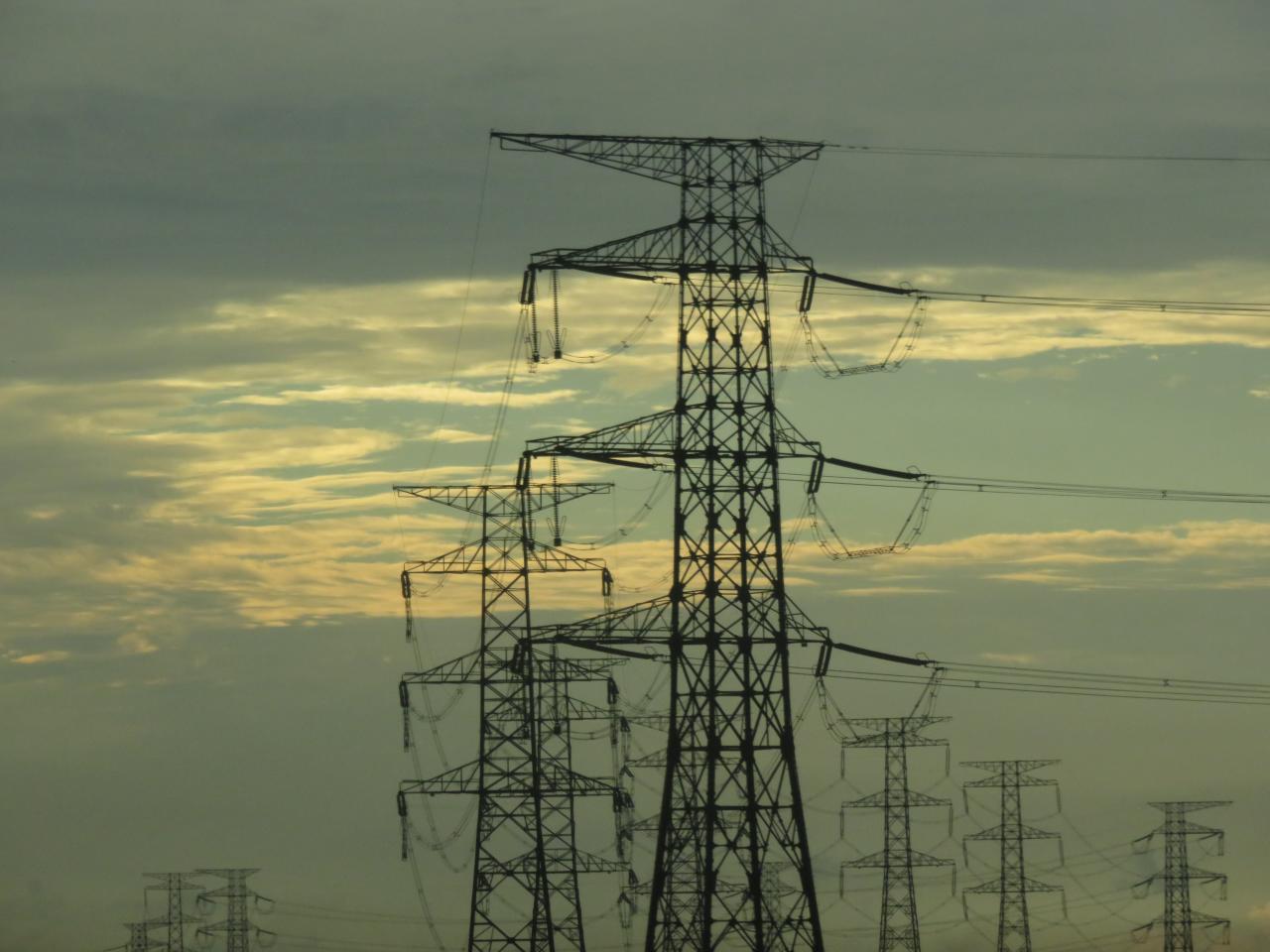
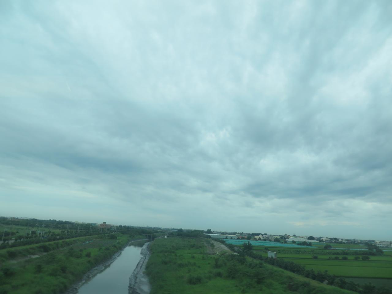
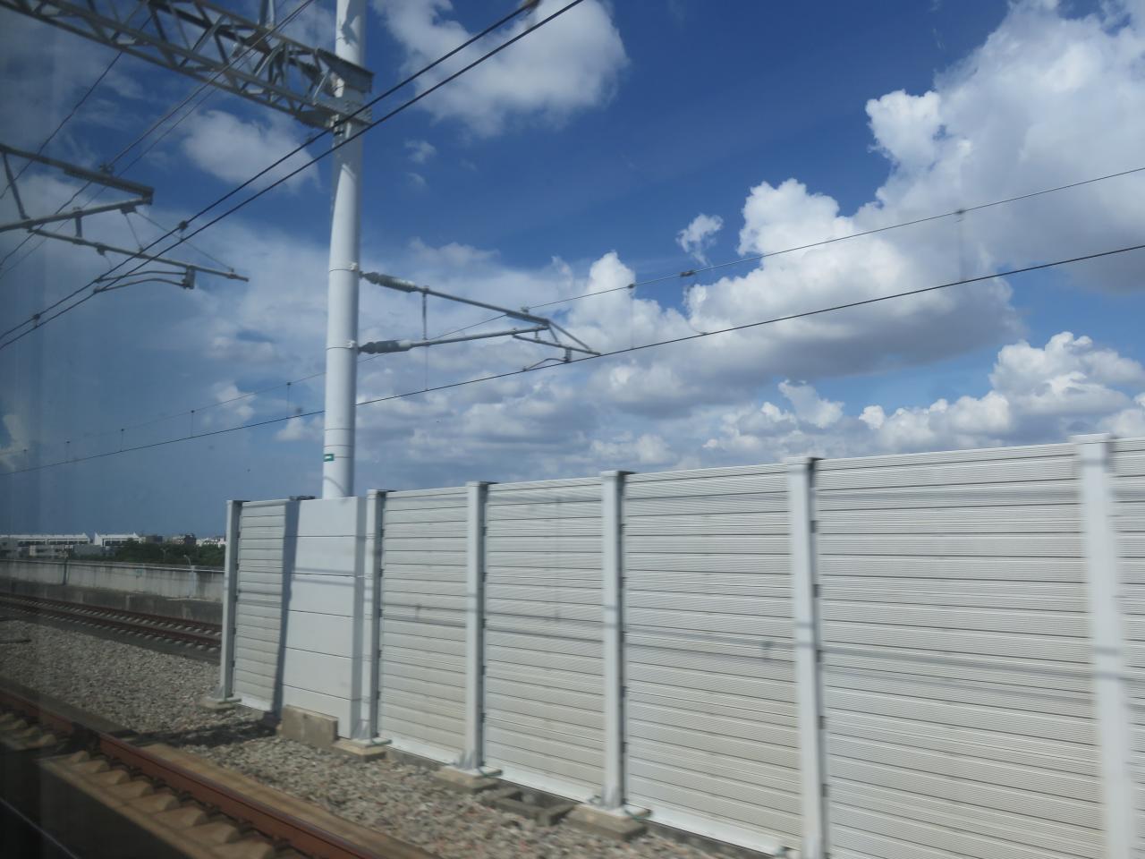
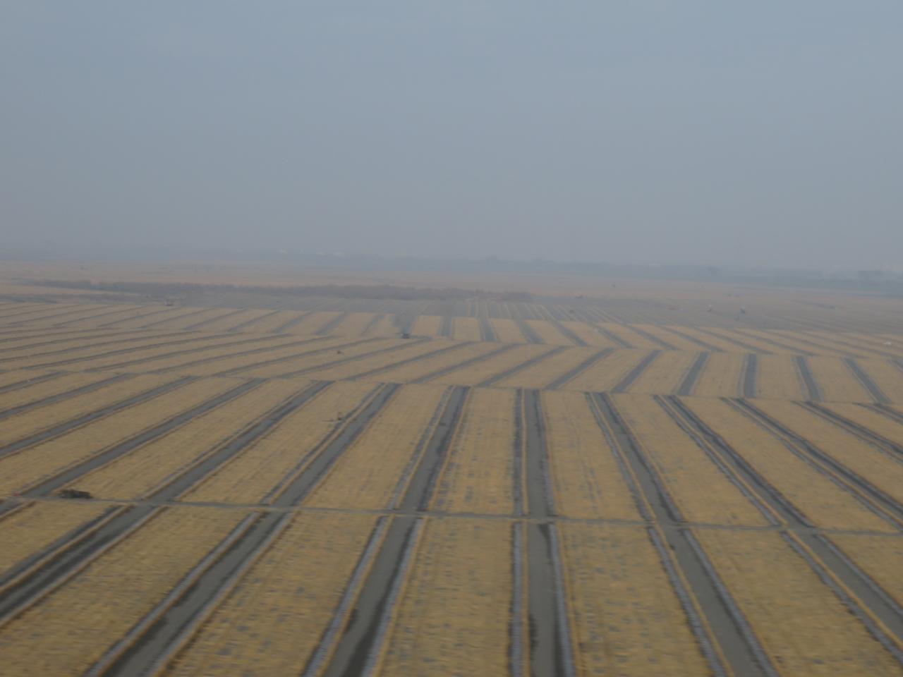
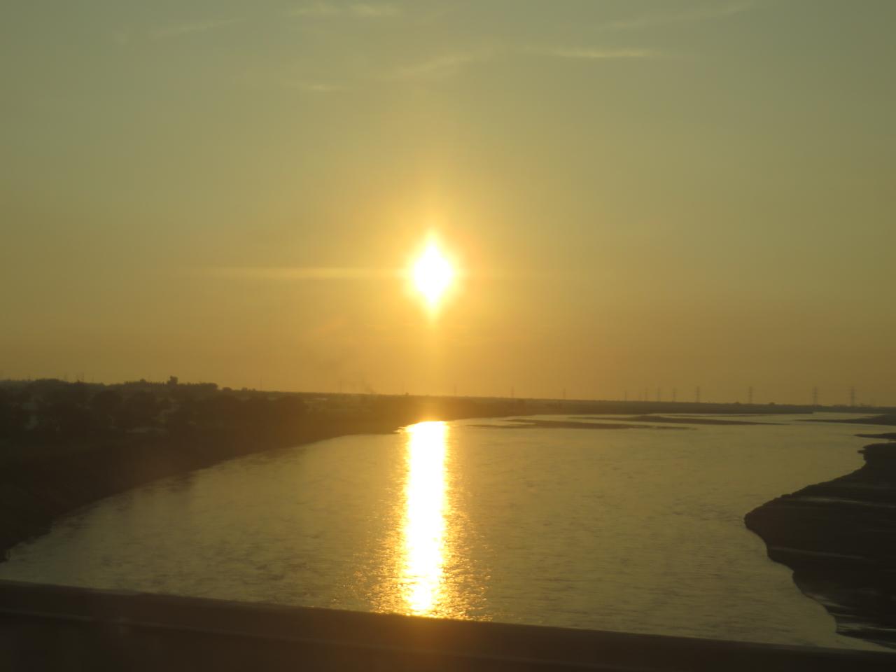
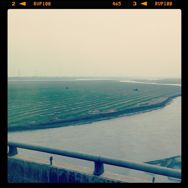
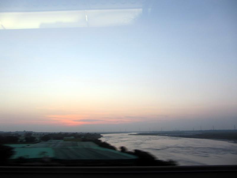
View From THSR Window
View From THSR Window
View From THSR Window
View From THSR Window
View From THSR Window

View From THSR Window
View From THSR Window
View From THSR Window
View From THSR Window
View From THSR Window
View From THSR Window

View From THSR Window

View From THSR Window
View From THSR Window
View From THSR Window

View From THSR Window
View From THSR Window
View From THSR Window
View From THSR Window
View From THSR Window

a fishing boat under Milky Way

moonlight and Milky Way

to the sea

Skylark(Oriental) 小雲雀(TW087) 6Z2K3113-1

end of August

DSC_1633.jpg
IMG_0198.JPG

DSC_9826.jpg
員工旅遊ing
DSC_1556.jpg

A playground

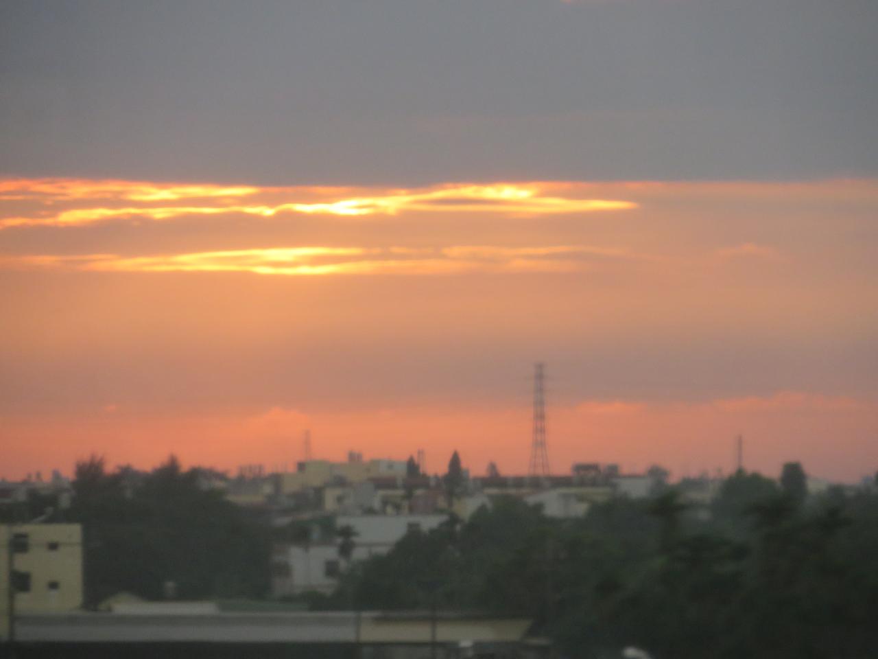
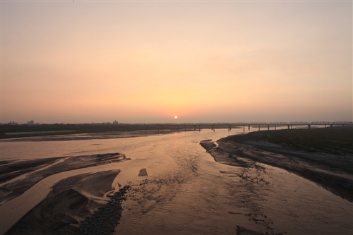
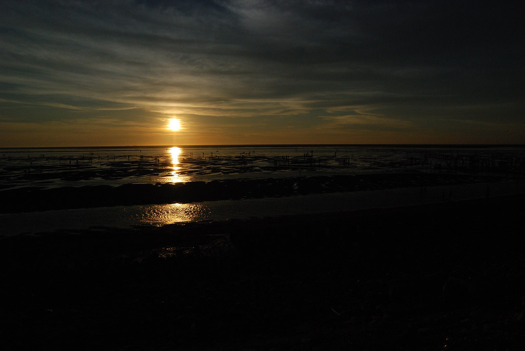
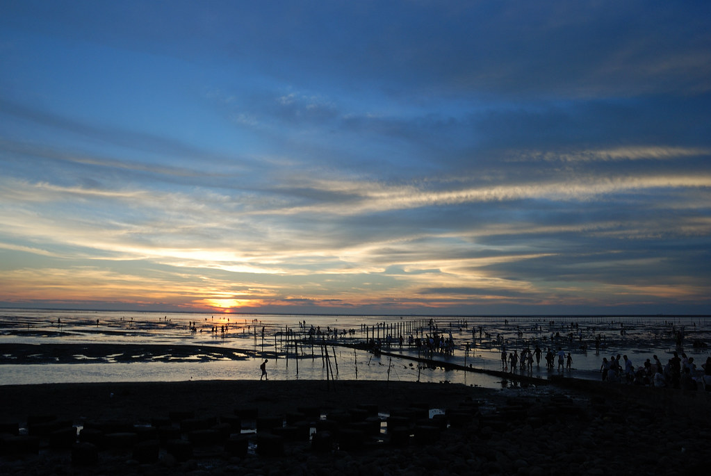
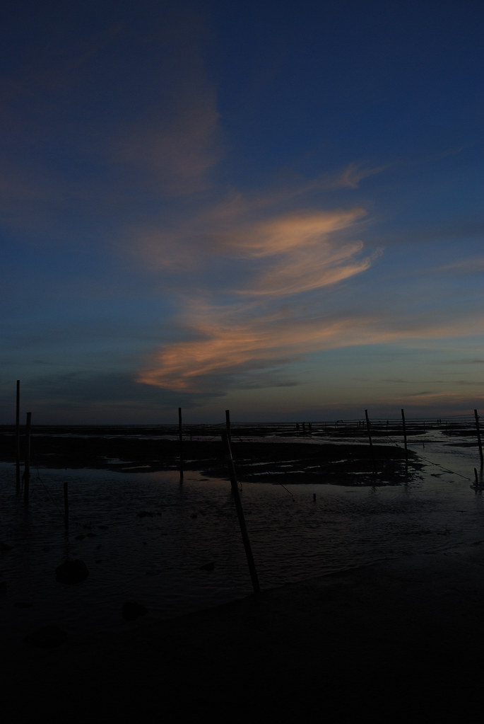
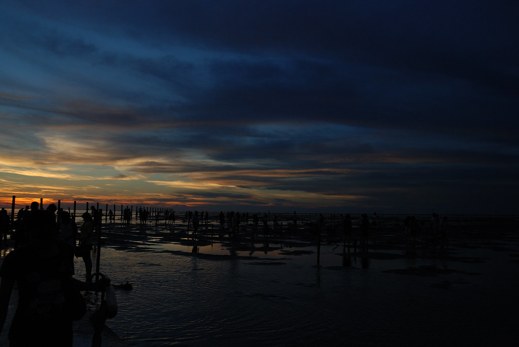
彰化 芳苑 夕陽
After Sunset

彰化 芳苑 夕陽
DSC_1635.jpg
DSC_1650.jpg

Camera Roll-1563
DSC_1655.jpg
2009年 環島
IMG_4519.jpg
Topographic Map of Taiwan, 彰化縣大城鄉上山村
Find elevation by address:

Places in Taiwan, 彰化縣大城鄉上山村:
Places near Taiwan, 彰化縣大城鄉上山村:
No. 16, Dashan Rd, Dacheng Township, Changhua County, Taiwan
No. 14, Zhongsi Rd, Erlin Township, Changhua County, Taiwan
Taiwan, Changhua County, Erlin Township, 溝頭二巷37號
廣興里
No. 61, Tianhui Rd, Dacheng Township, Changhua County, Taiwan
山腳村
潭墘村
三成村
中西里
Taiwan, Changhua County, Erlin Township, 廣興巷40號
No. 23, Sanmin Rd, Dacheng Township, Changhua County, Taiwan
Dacheng Township
Taiwan, Changhua County, Fangyuan Township, 平上巷11號
4-6
東港村
三豐村
Taiwan, Changhua County, Erlin Township, 中南巷35號
No. 24, Zhongyang Rd, Dacheng Township, Changhua County, Taiwan
No. 20, Pingkang Rd, Dacheng Township, Changhua County, Taiwan
No., Section 4, Douyuan Rd, Erlin Township, Changhua County, Taiwan
Recent Searches:
- Elevation of Royal Ontario Museum, Queens Park, Toronto, ON M5S 2C6, Canada
- Elevation of Groblershoop, South Africa
- Elevation of Power Generation Enterprises | Industrial Diesel Generators, Oak Ave, Canyon Country, CA, USA
- Elevation of Chesaw Rd, Oroville, WA, USA
- Elevation of N, Mt Pleasant, UT, USA
- Elevation of 6 Rue Jules Ferry, Beausoleil, France
- Elevation of Sattva Horizon, 4JC6+G9P, Vinayak Nagar, Kattigenahalli, Bengaluru, Karnataka, India
- Elevation of Great Brook Sports, Gold Star Hwy, Groton, CT, USA
- Elevation of 10 Mountain Laurels Dr, Nashua, NH, USA
- Elevation of 16 Gilboa Ln, Nashua, NH, USA