Elevation of Taiwan, 澎湖縣白沙鄉吉貝村
Location: Taiwan > Penghu County > Baisha Township >
Longitude: 119.612244
Latitude: 23.7466491
Elevation: 16m / 52feet
Barometric Pressure: 101KPa
Elevation Map:
Satellite Map:
Related Photos:
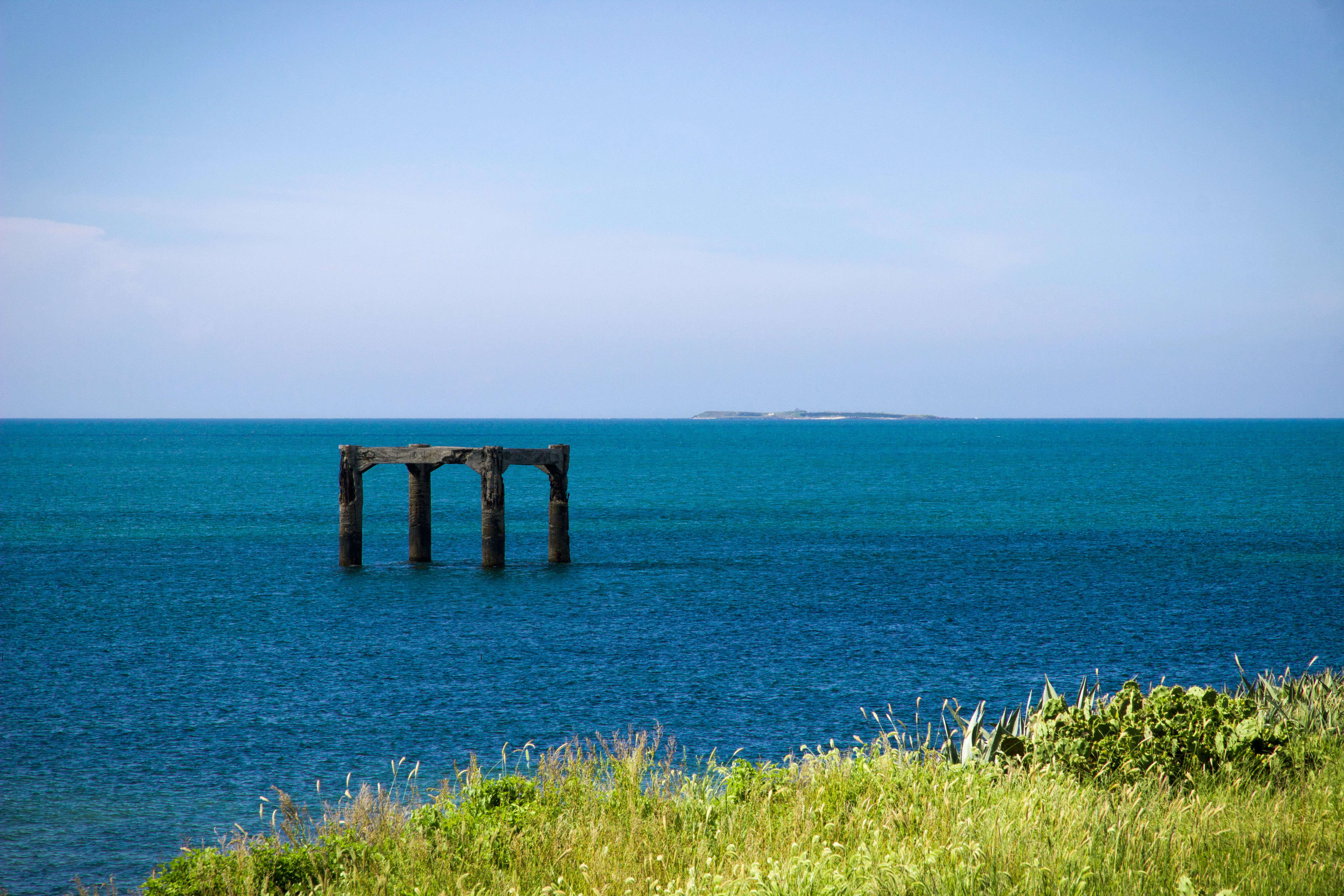
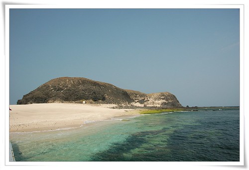
Taiwan,Penghu─Sea view

See Life

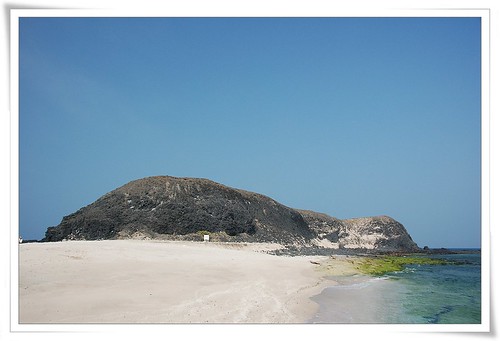
View from Frying Rice Cave point...

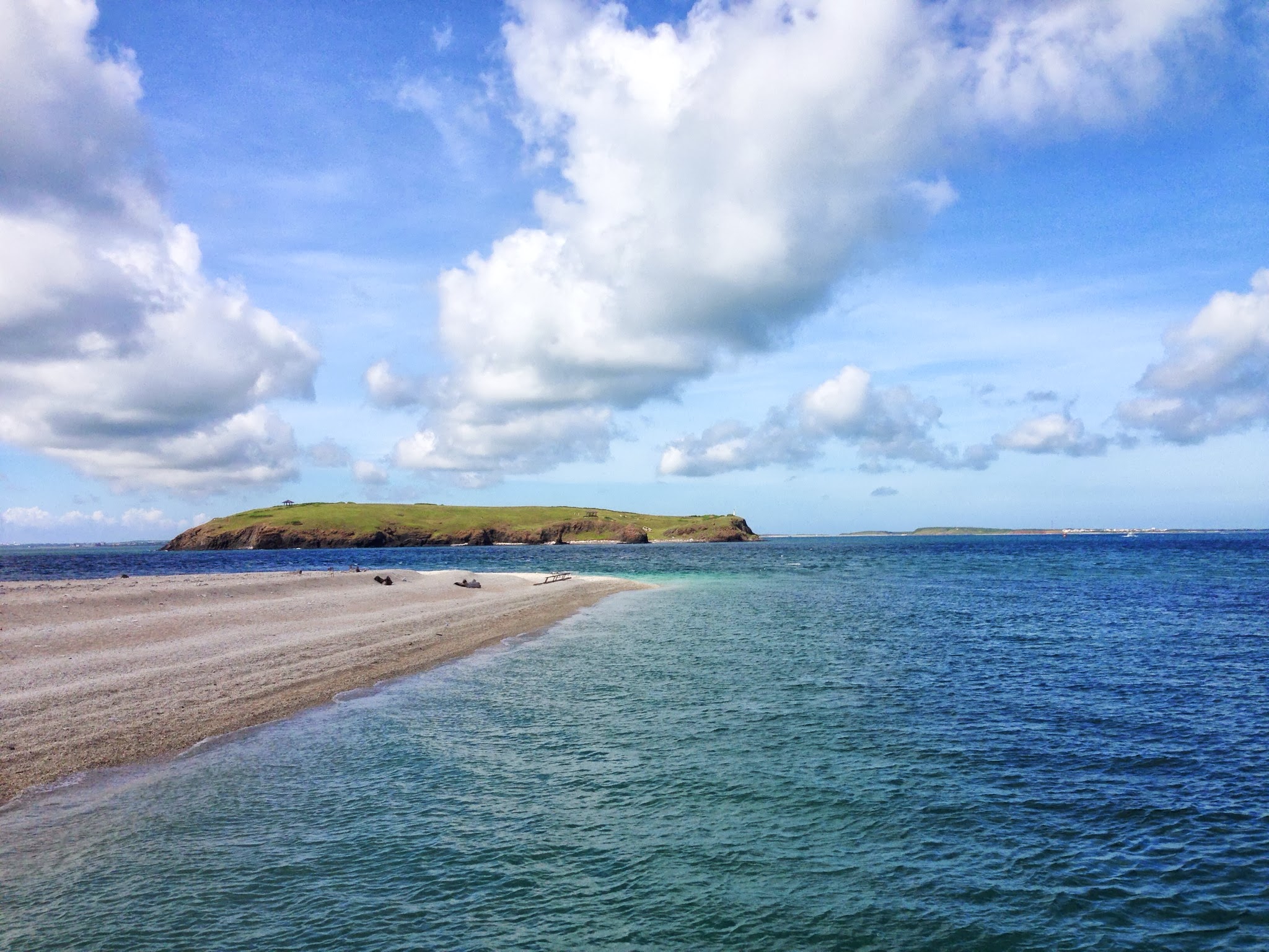
Satellite view of Penghu Islands

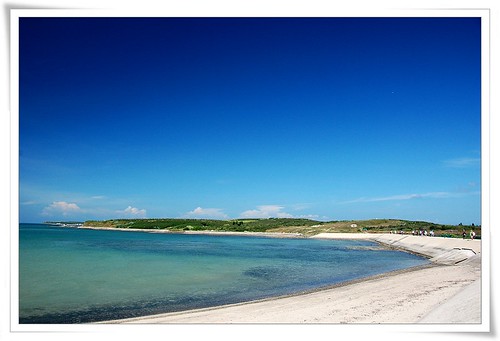
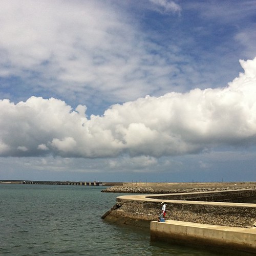
Scenery of Penghu─Cross-sea bridge Penghu,Taiwan

Found the Peace 獲得平靜

Make a Living 謀生

Out in the Night Sky 夜空出遊

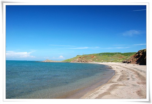
Scenery of Penghu─Golden sunrays

H06 #8
自然生態D2-中屯、講美
DSC_0617.jpg
2007大倉踏浪

天地之間

20130518白沙赤崁碼頭

澎湃洶湧 Pescadores Shore
DSC_0562.jpg
2013 澎湖

自然生態D2-中屯、講美
由南釣到北
自然生態D2-中屯、講美

澎湖 實習兼玩樂

IMG_5316.JPG
Topographic Map of Taiwan, 澎湖縣白沙鄉吉貝村
Find elevation by address:

Places in Taiwan, 澎湖縣白沙鄉吉貝村:
Places near Taiwan, 澎湖縣白沙鄉吉貝村:
Taiwan, Penghu County, Baisha Township
Baisha Township
後寮村
Taiwan, Penghu County, Baisha Township, 澎8鄉道號
Taiwan, Penghu County, Baisha Township, 58
Taiwan, Penghu County, Baisha Township, 95
鳥嶼村
港子村
員貝村
28-2
通梁村
No., Zixin Rd, Baisha Township, Penghu County, Taiwan
Taiwan, Penghu County, Baisha Township, 12
城前村
中屯村
Taiwan, Penghu County, Baisha Township, 27
Taiwan, Penghu County, Huxi Township, 澎11鄉道號
沙港村
3-3
青螺村
Recent Searches:
- Elevation of Kambingan Sa Pansol Atbp., Purok 7 Pansol, Candaba, Pampanga, Philippines
- Elevation of Pinewood Dr, New Bern, NC, USA
- Elevation of Mountain View, CA, USA
- Elevation of Foligno, Province of Perugia, Italy
- Elevation of Blauwestad, Netherlands
- Elevation of Bella Terra Blvd, Estero, FL, USA
- Elevation of Estates Loop, Priest River, ID, USA
- Elevation of Woodland Oak Pl, Thousand Oaks, CA, USA
- Elevation of Brownsdale Rd, Renfrew, PA, USA
- Elevation of Corcoran Ln, Suffolk, VA, USA