Elevation of Taiwan, 高雄市美濃區吉洋里
Location: Taiwan > Kaohsiung City > Meinong District >
Longitude: 120.530788
Latitude: 22.8387461
Elevation: 51m / 167feet
Barometric Pressure: 101KPa
Elevation Map:
Satellite Map:
Related Photos:
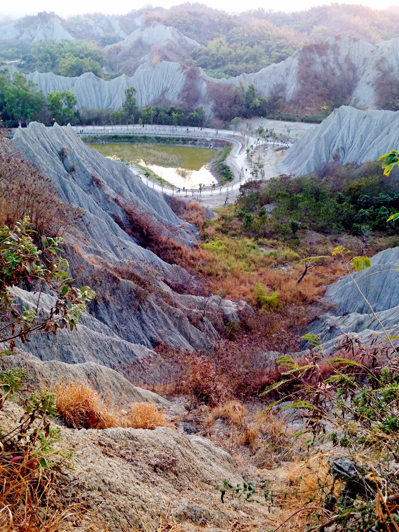
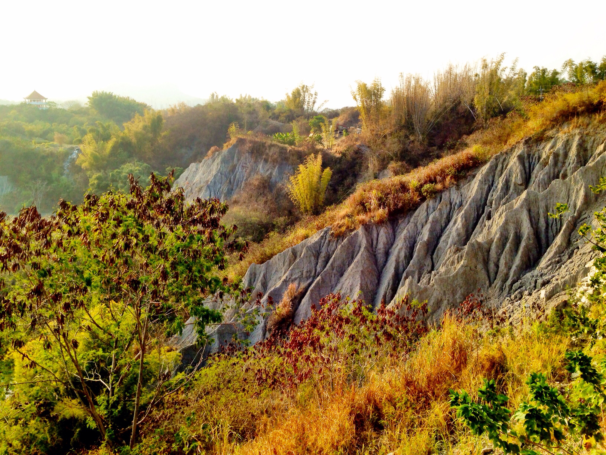
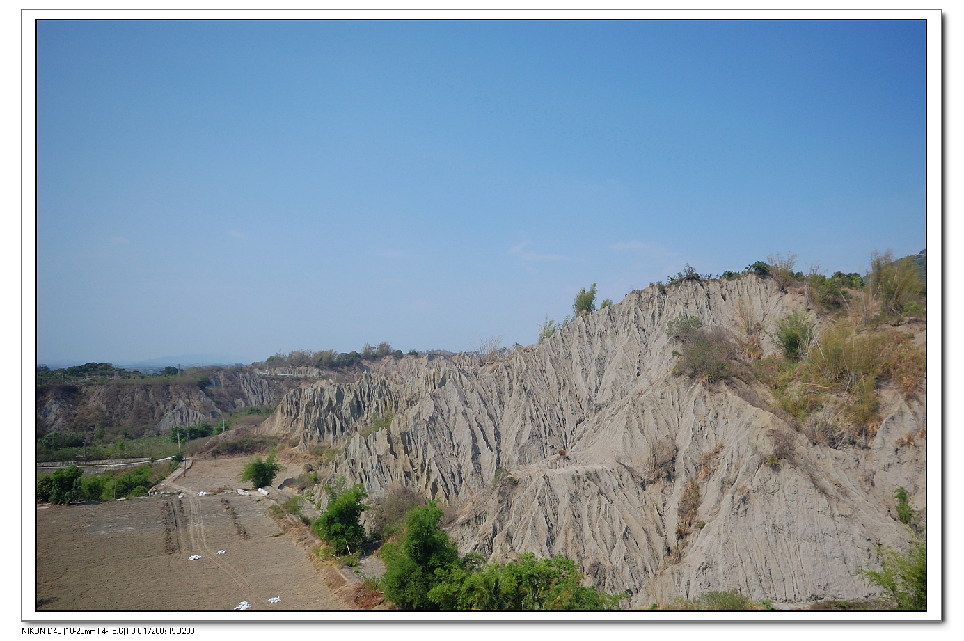
Lunar Terrain Mountain View Landscape at 月世界地景公園
Lunar Terrain Mountain View at 旗山
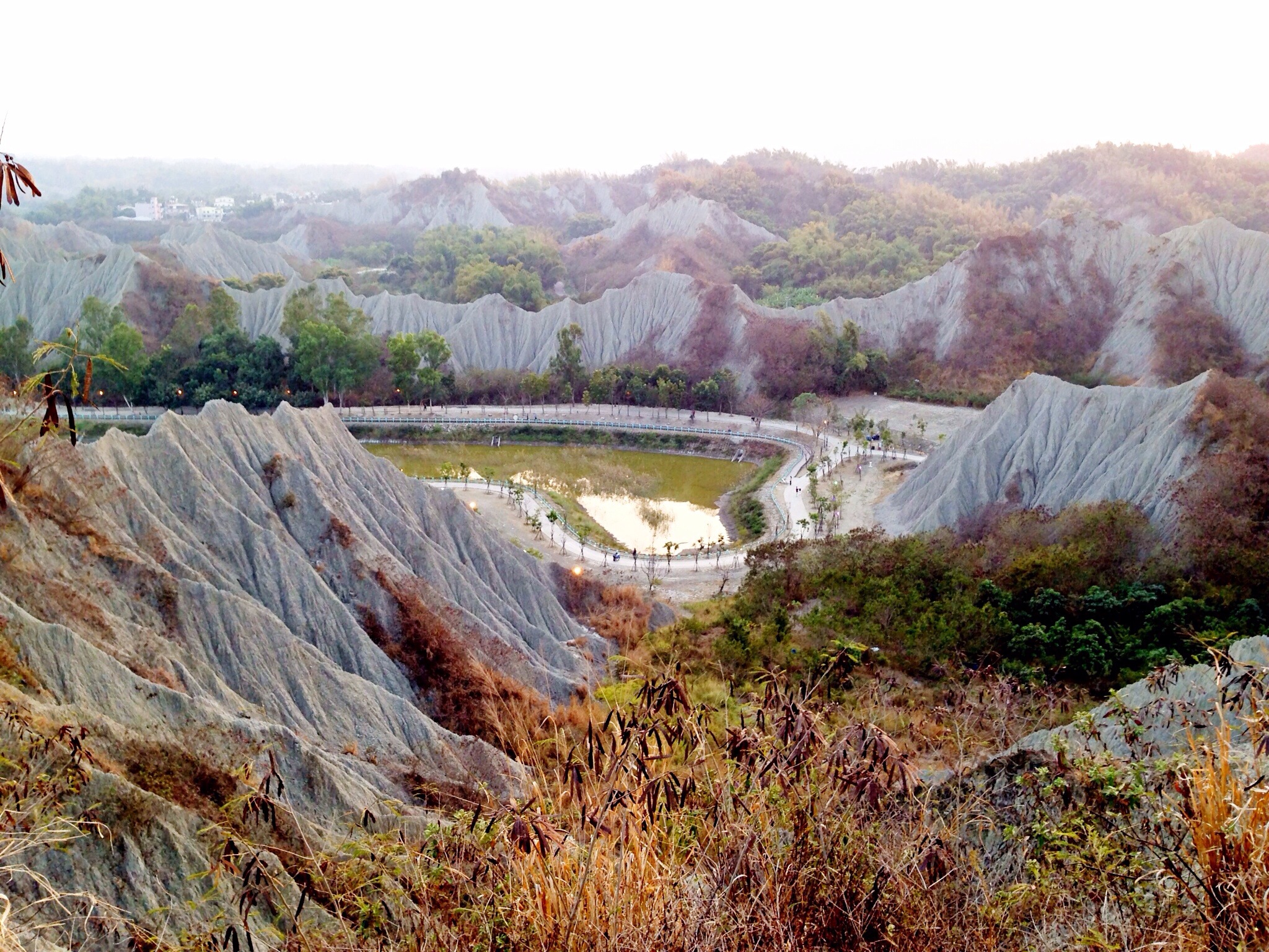
Lunar Terrain Mountain View at 月世界地景公園
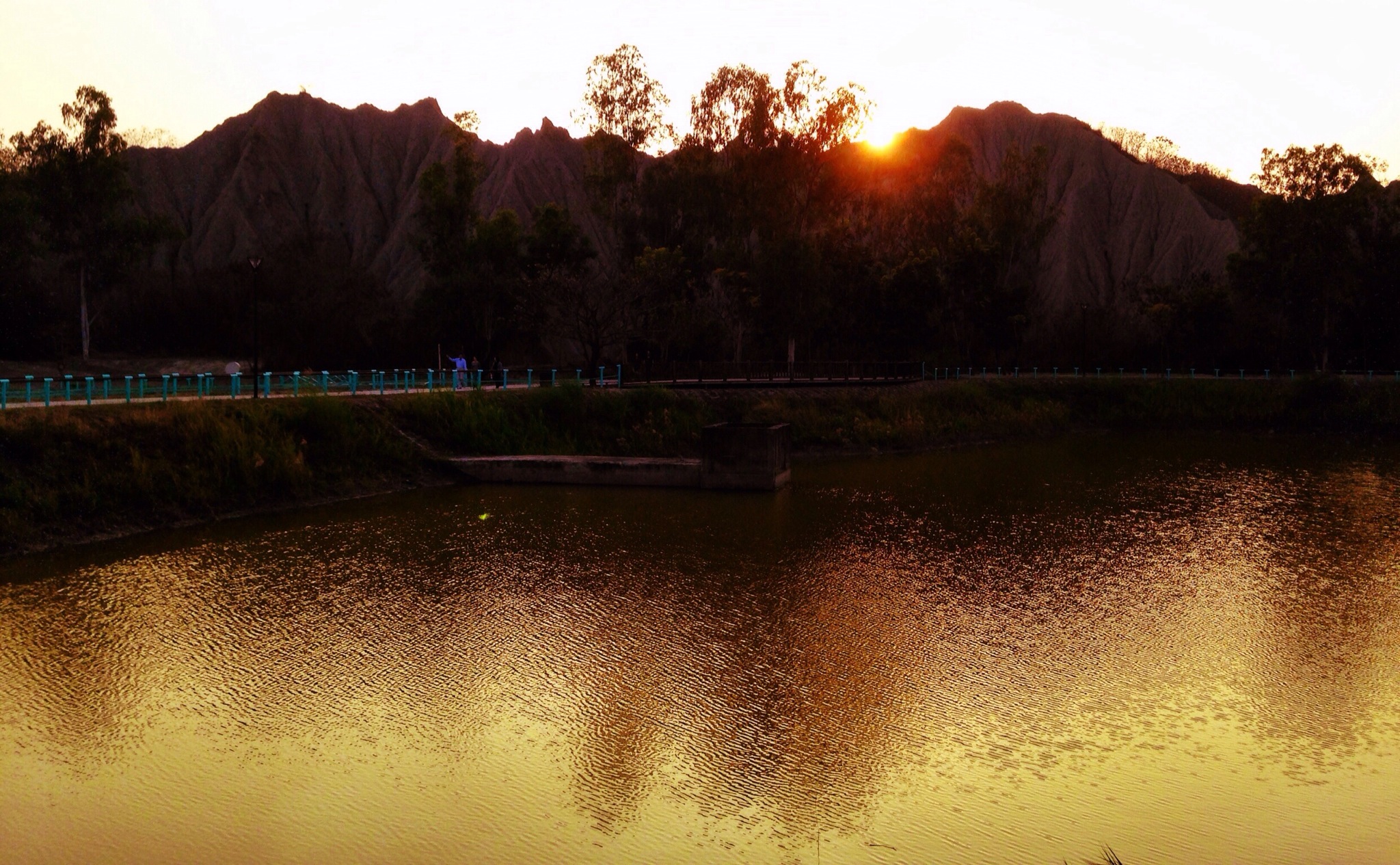
Sunset Lunar Terrain Mountain View Water Reflections at 月世界

Lunar Terrain Mountain View Blue Sky at 月世界地景公園
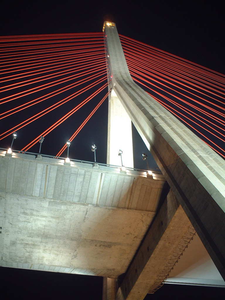
Cable-Stayed Bridge
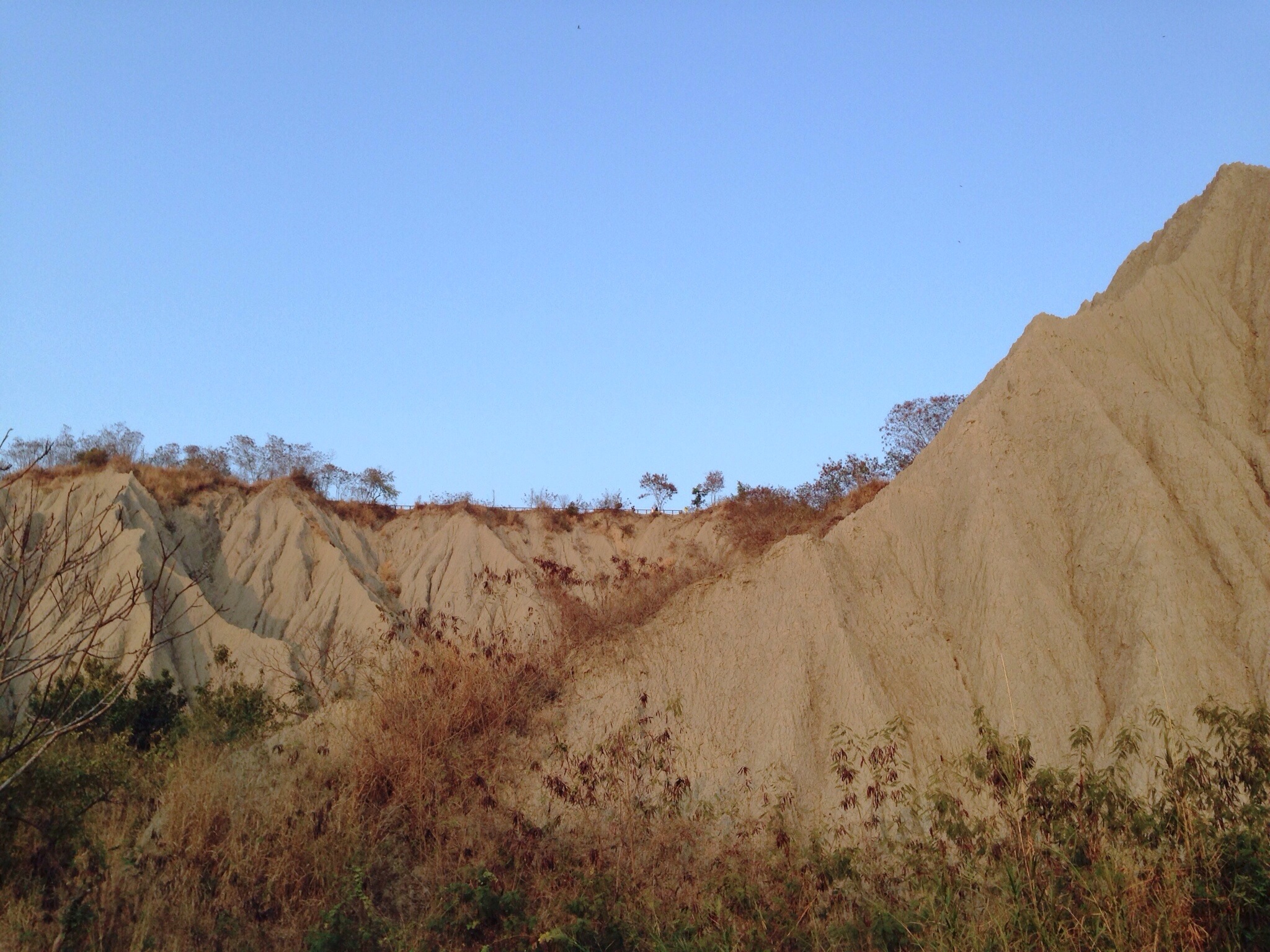
Mountain View Lunar Terrain Blue Sky at 月世界
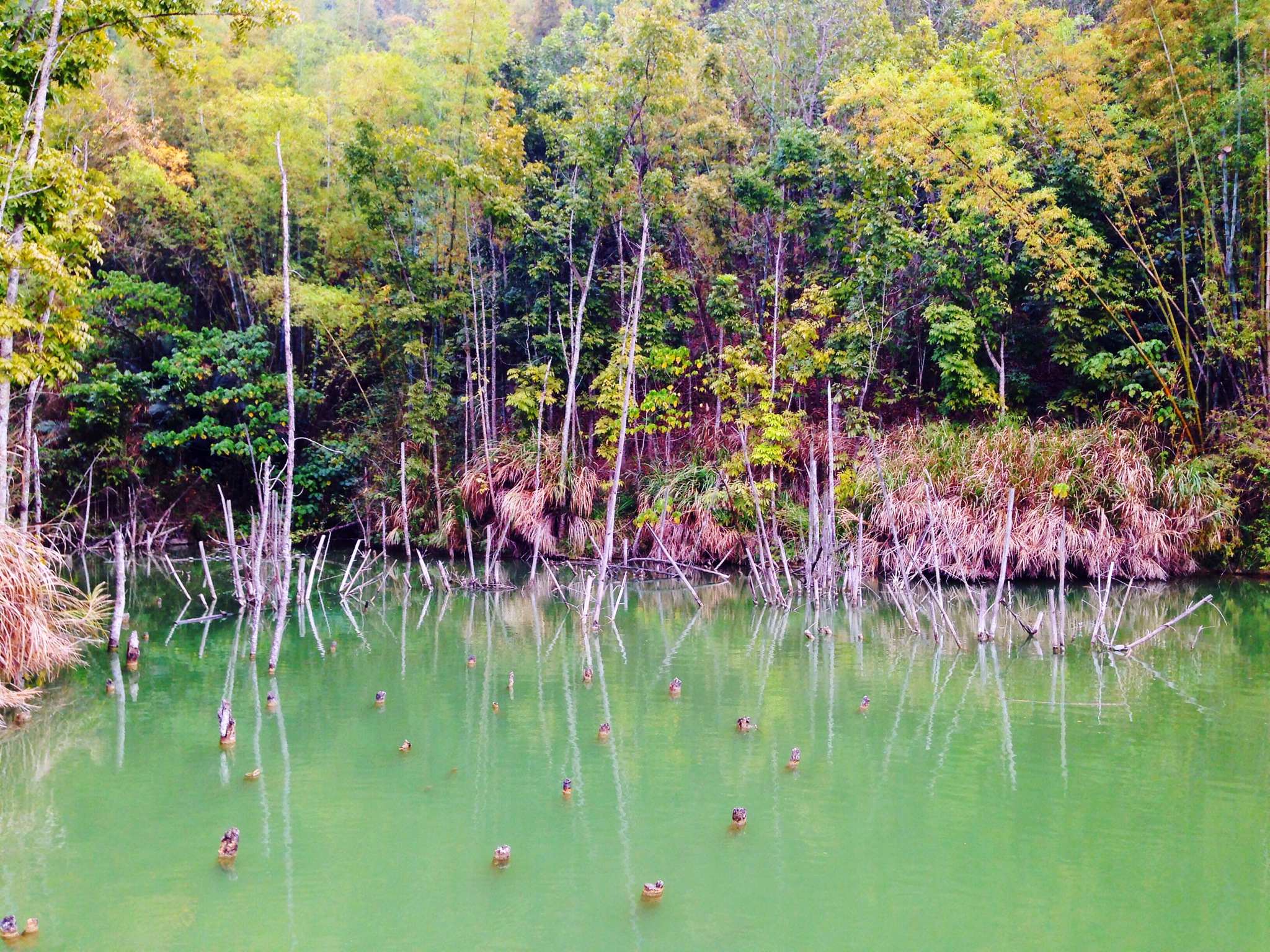
Trees Lake View at 內門順賢宮 Neimen Shun Sian Gong
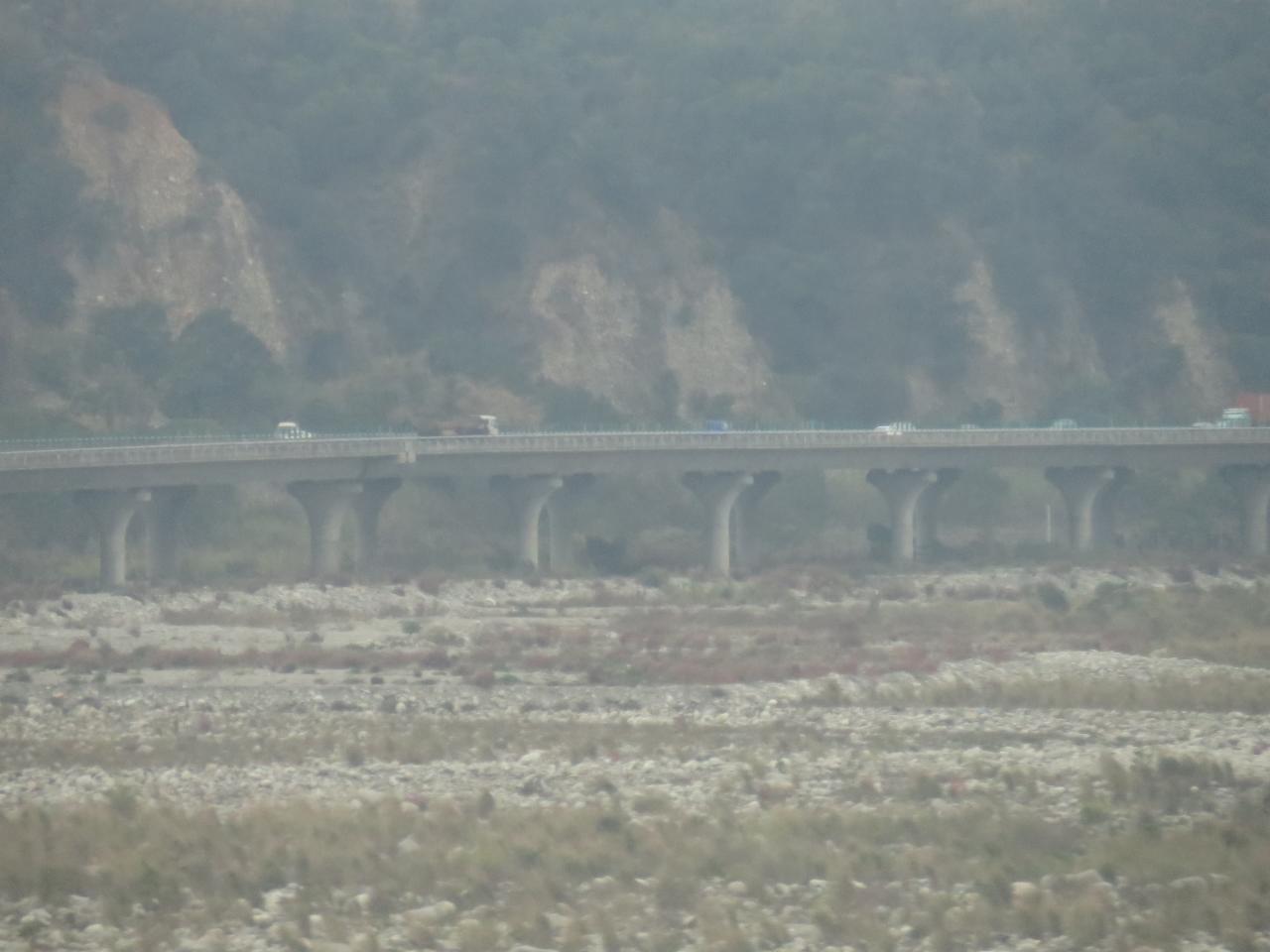
View From THSR Window

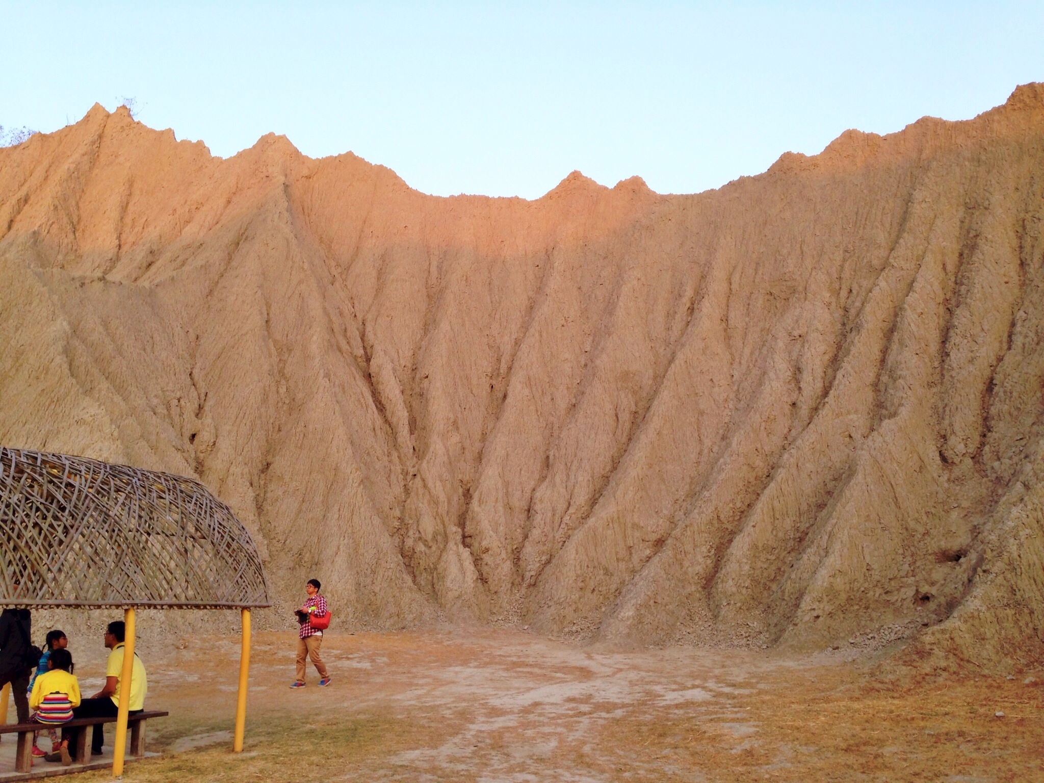
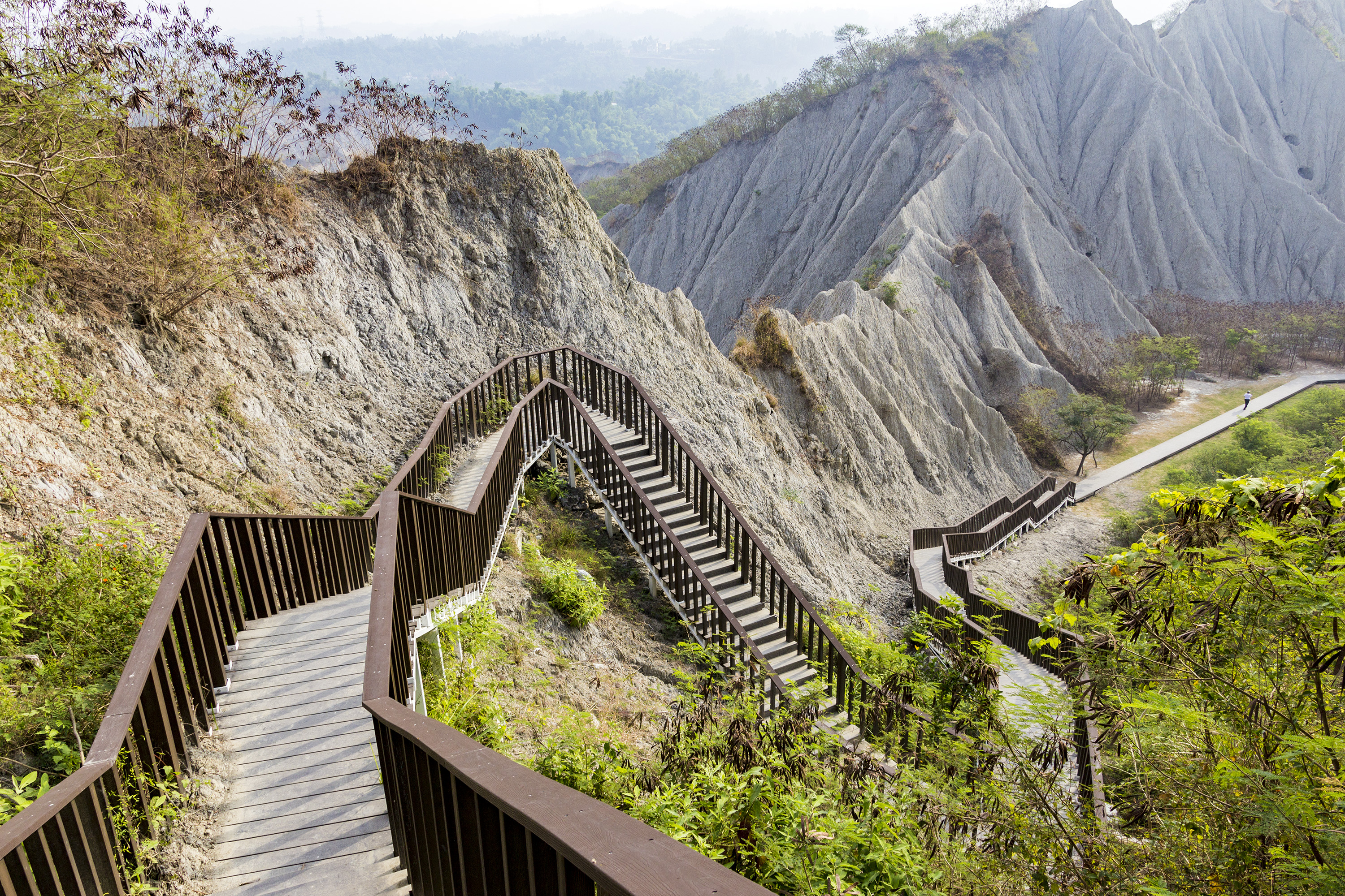
Lunar Terrain Mountain View Child at 月世界地景公園

Lunar Terrain Mountain View Trail Park at 月世界地景公園
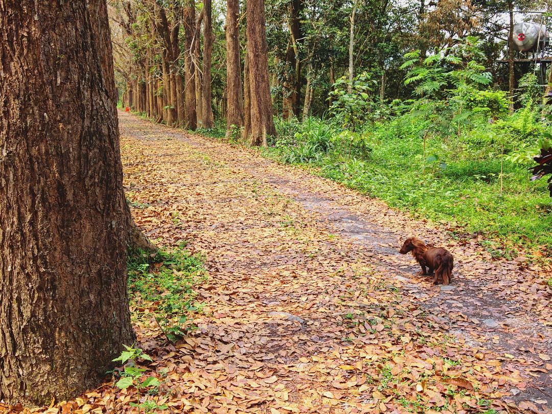
Somtimes you gotta seek and figure out the answer to life by yourself ???? #Kaohsiung #Taiwan #Meilong #view #scenery #dope #fun #party #landscape #cute #pet #dog #photography
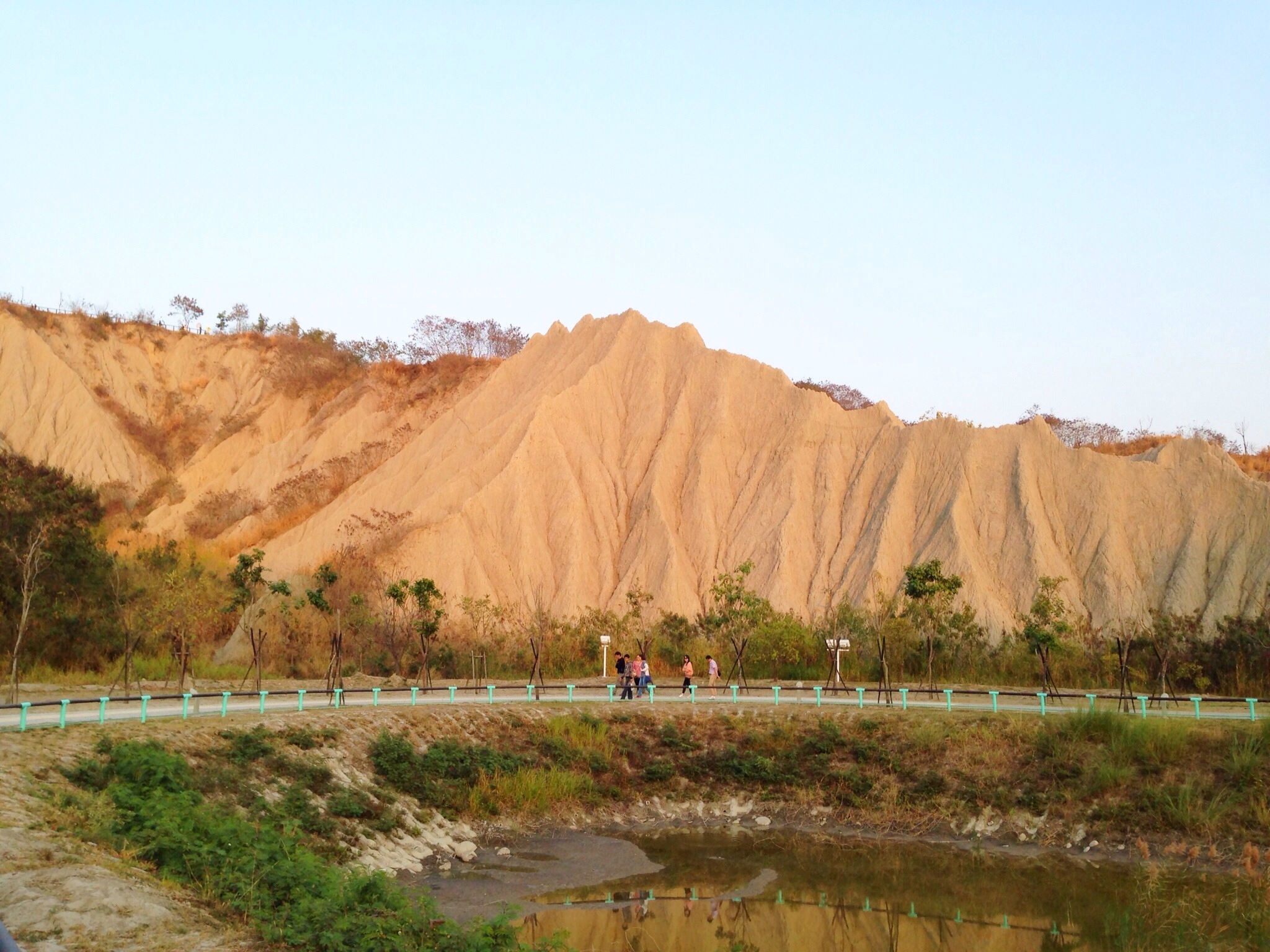
Lunar Terrain Mountain View Landscape at 月世界地景公園
Lunar Terrain Mountain View Blue Sky at 月世界地景公園
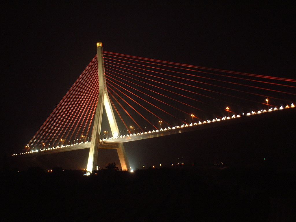
Cable-Stayed Bridge
月世界

The view

Lunar Terrain Mountain View Park Trail at 月世界地景公園

View From THSR Window
田寮月世界

Hypnos Cloud View
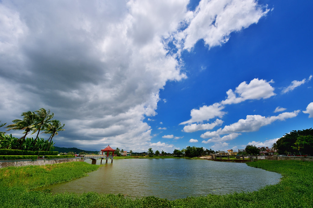
美濃中正湖

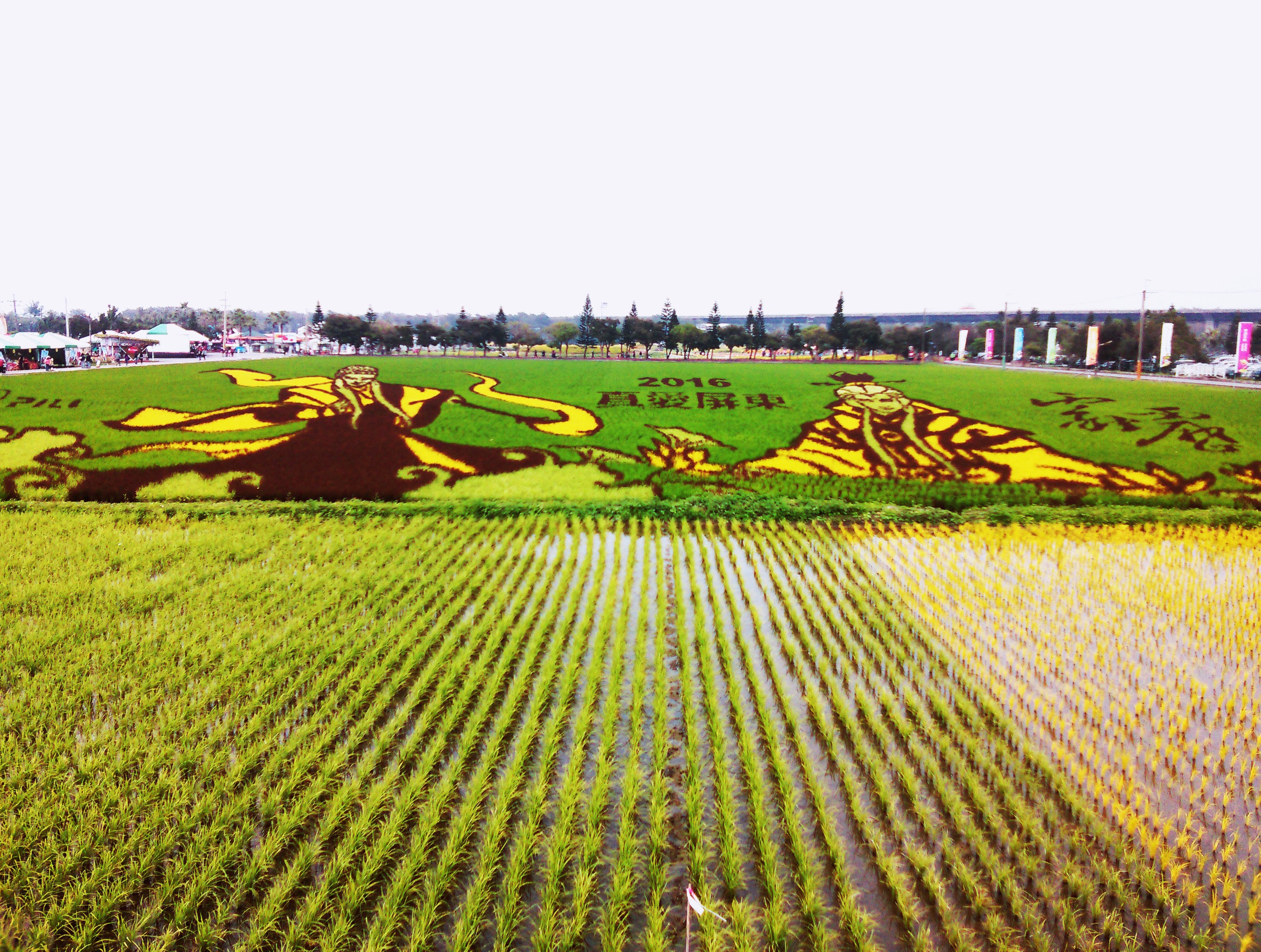
美濃河堤旁晚霞稻田-1

鑽灰蝶 三尾小灰蝶
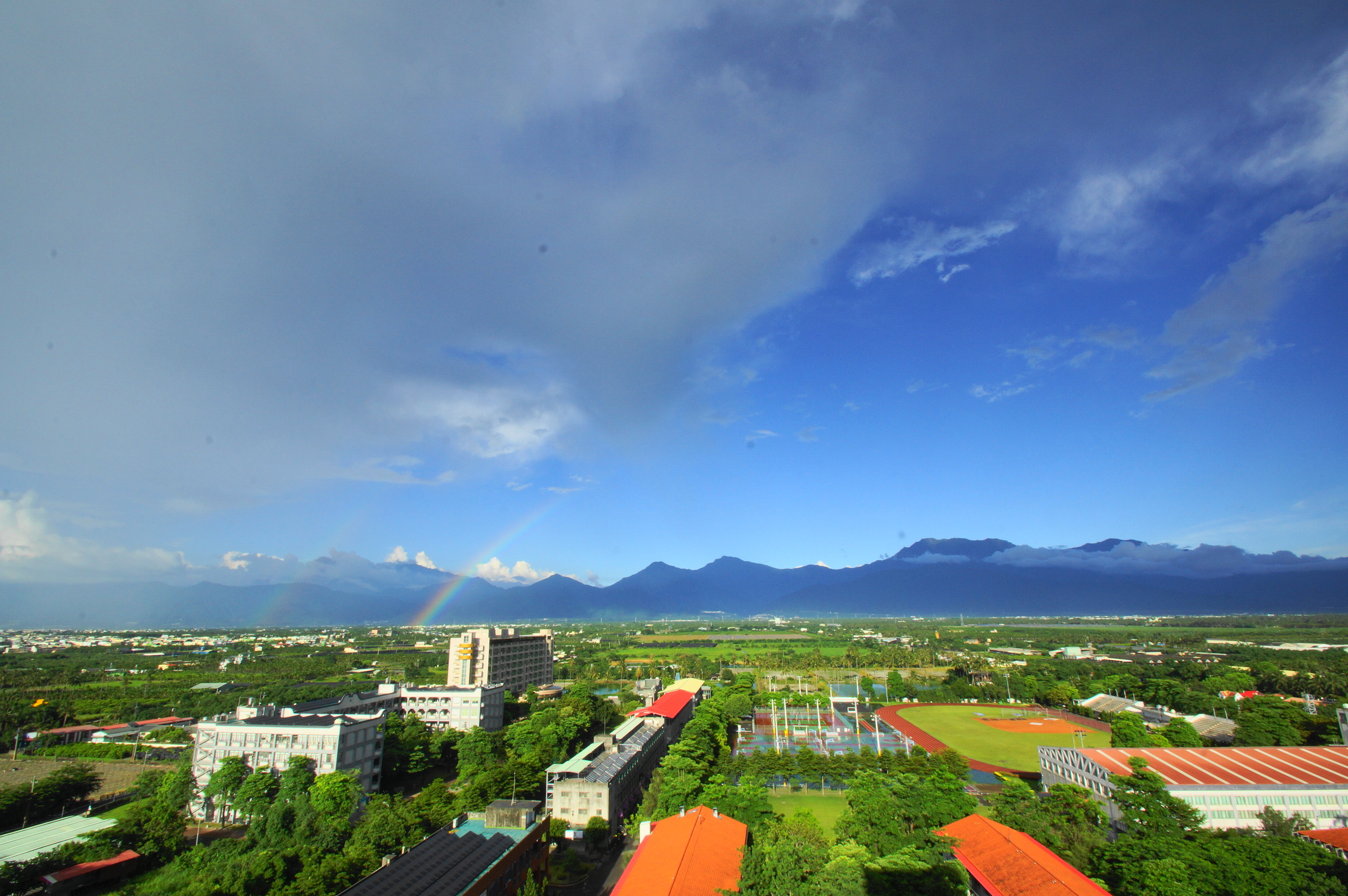
雨後的彩虹
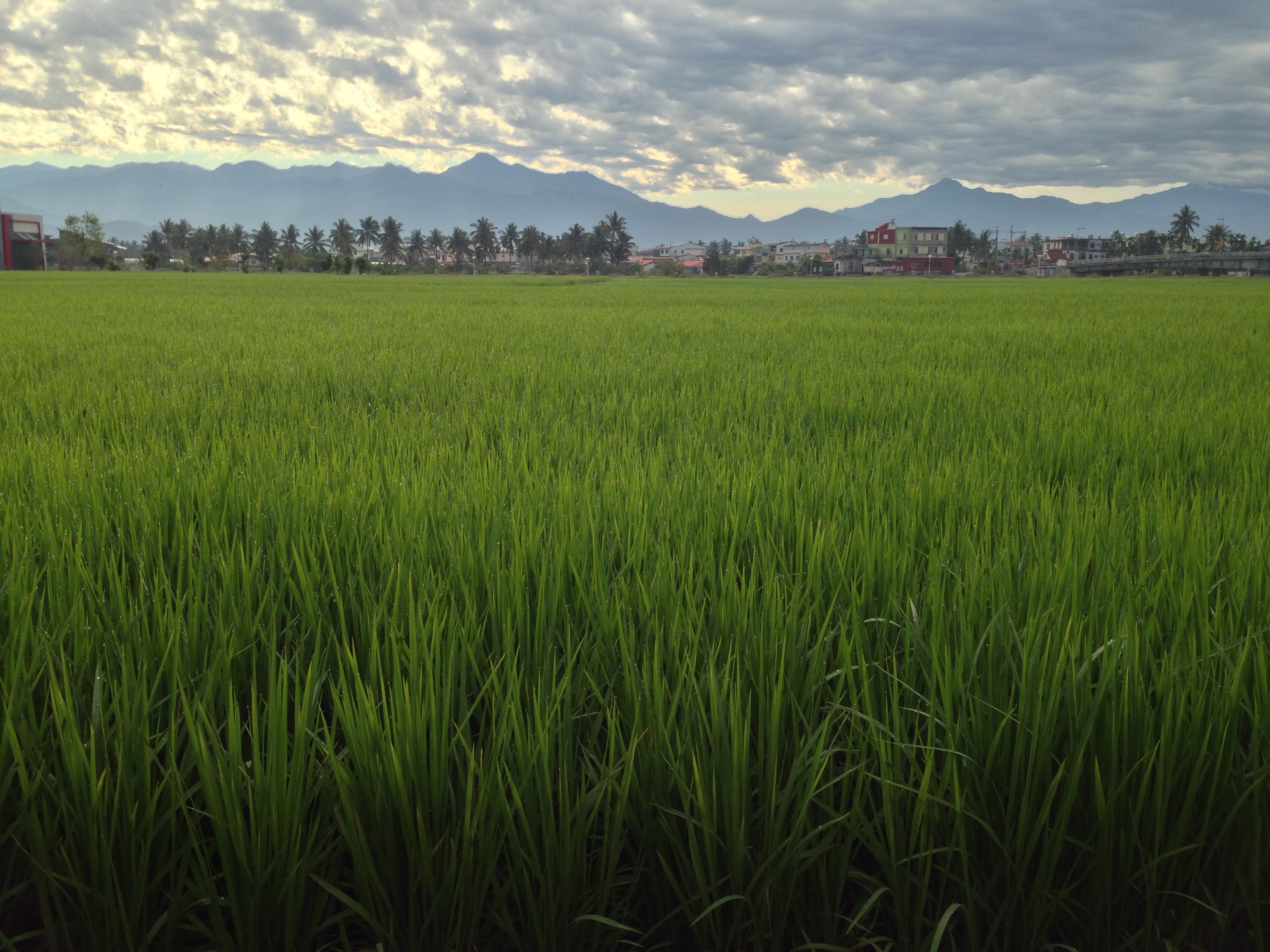
美濃,TAIWAN

中寮山
2016-02-03_02-21-43
Highway and sunset

2016-May-01 尾寮山登山步道
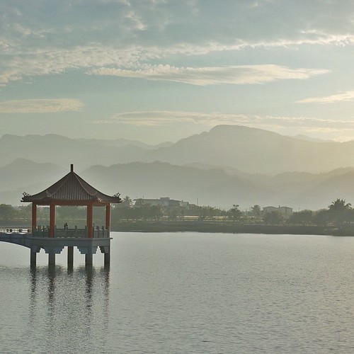
| Peace & Serenity | This is another photo I took during a trip to the tiny town of Meinong (in southern Taiwan) where I woke before daybreak to catch the sunrise from this lake/reservoir. The morning air was still, humid, and muggy; the sky was hazy
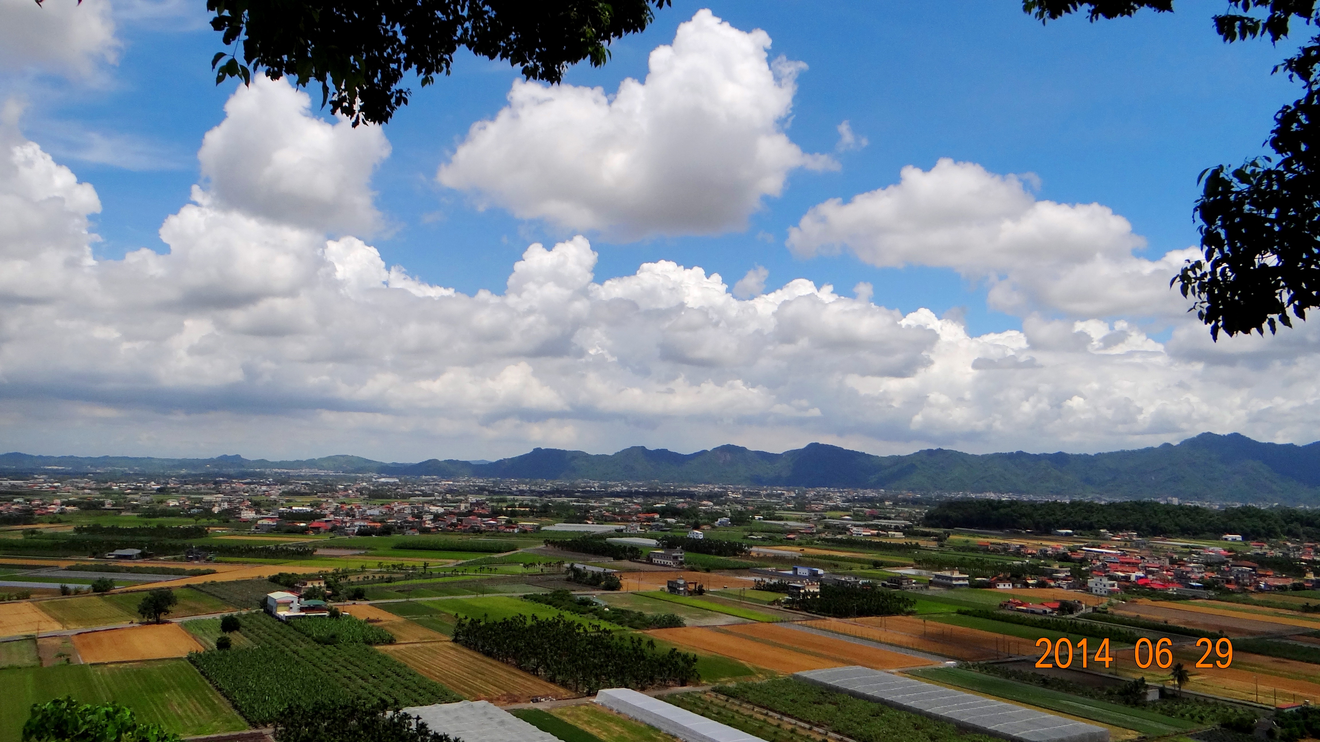
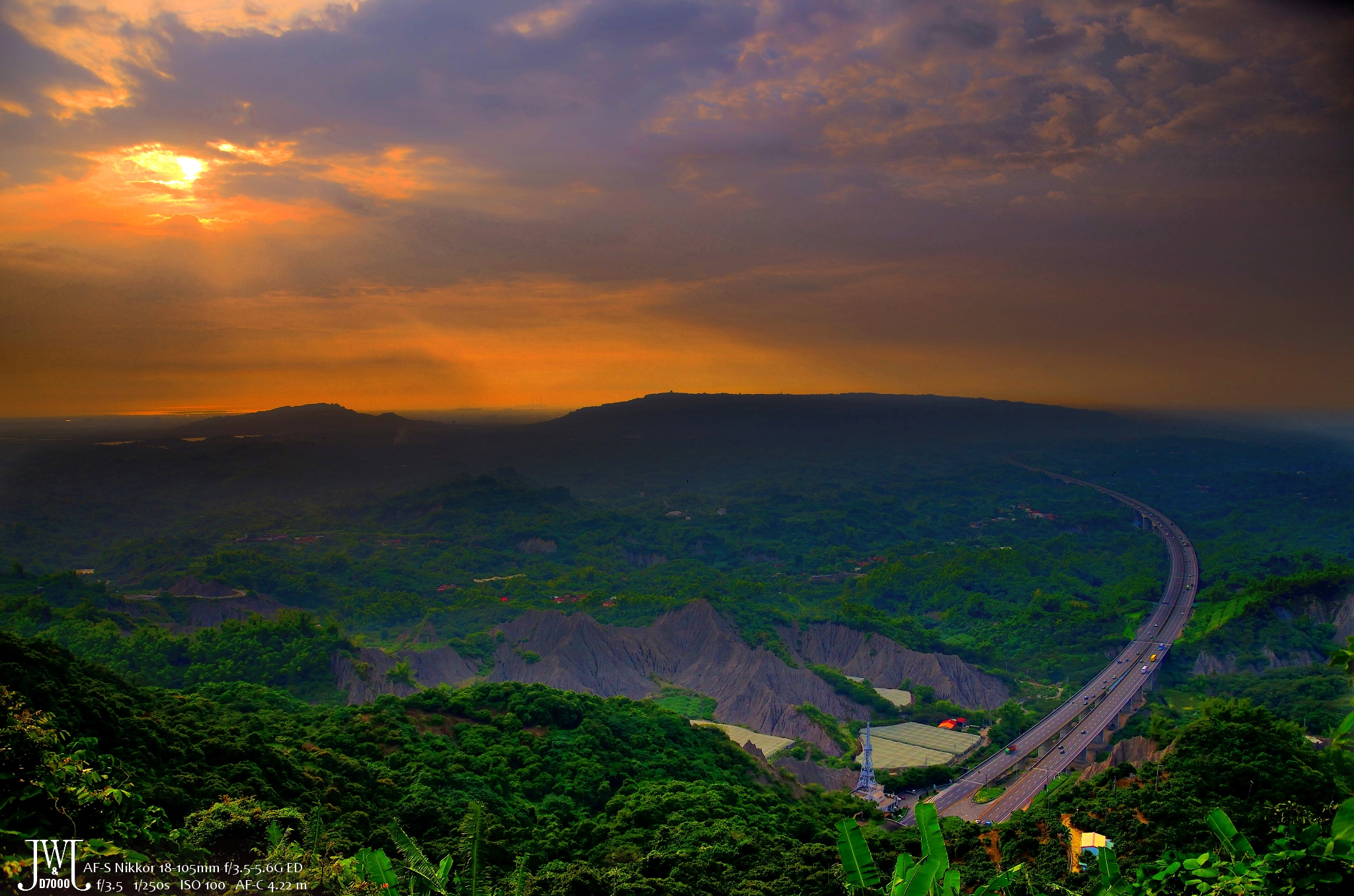
140629獅山瞰美濃
Topographic Map of Taiwan, 高雄市美濃區吉洋里
Find elevation by address:

Places in Taiwan, 高雄市美濃區吉洋里:
No. 18, Jiyang St, Meinong District, Kaohsiung City, Taiwan
Taiwan, Kaohsiung City, Meinong District, 9
Places near Taiwan, 高雄市美濃區吉洋里:
Taiwan, Kaohsiung City, Meinong District, 9
吉和里
No. 18, Jiyang St, Meinong District, Kaohsiung City, Taiwan
16-1
土庫村
吉東里
吉山
廣福里
No. 66, Sanhe Rd, Ligang Township, Pingtung County, Taiwan
三廍村
No. 16, Mili Rd, Ligang Township, Pingtung County, Taiwan
No. 6, Zhongxing St, Qishan District, Kaohsiung City, Taiwan
瀰力村
Ligang Township
鹽樹村
載興村
22-10
No. 33, Fuxing Rd, Ligang Township, Pingtung County, Taiwan
12-1
茄苳村
Recent Searches:
- Elevation of Rojo Ct, Atascadero, CA, USA
- Elevation of Flagstaff Drive, Flagstaff Dr, North Carolina, USA
- Elevation of Avery Ln, Lakeland, FL, USA
- Elevation of Woolwine, VA, USA
- Elevation of Lumagwas Diversified Farmers Multi-Purpose Cooperative, Lumagwas, Adtuyon, RV32+MH7, Pangantucan, Bukidnon, Philippines
- Elevation of Homestead Ridge, New Braunfels, TX, USA
- Elevation of Orchard Road, Orchard Rd, Marlborough, NY, USA
- Elevation of 12 Hutchinson Woods Dr, Fletcher, NC, USA
- Elevation of Holloway Ave, San Francisco, CA, USA
- Elevation of Norfolk, NY, USA