Elevation of Taiwan, 屏東縣瑪家鄉佳義村
Location: Taiwan > Pingtung County > Majia Township >
Longitude: 120.660253
Latitude: 22.6534688
Elevation: 633m / 2077feet
Barometric Pressure: 94KPa
Elevation Map:
Satellite Map:
Related Photos:

因棧道施工,只能遠望涓涓細流。 Waterfall Mountain View Trees at 涼山瀑布

Mountain View Trees at 涼山瀑布
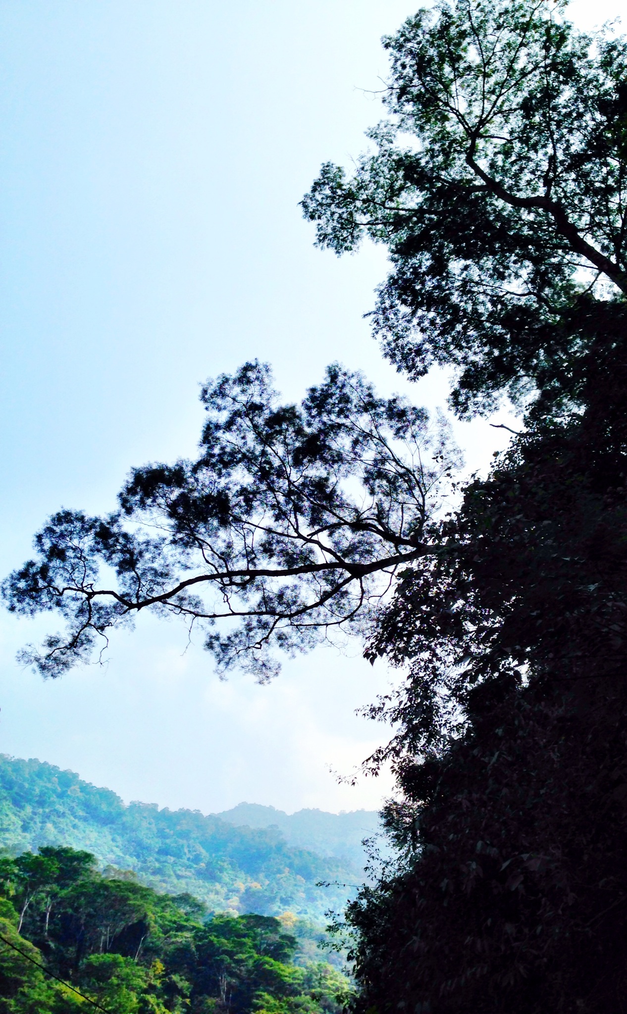
Trees Mountain View Landscape 橫生枝節 at 涼山瀑布
Surrounding View
Surrounding View

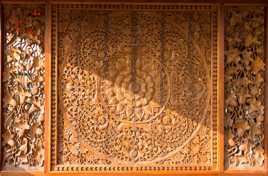
一個很像土地公廟的建築

20150226-DSC04381
20150226-DSC04386
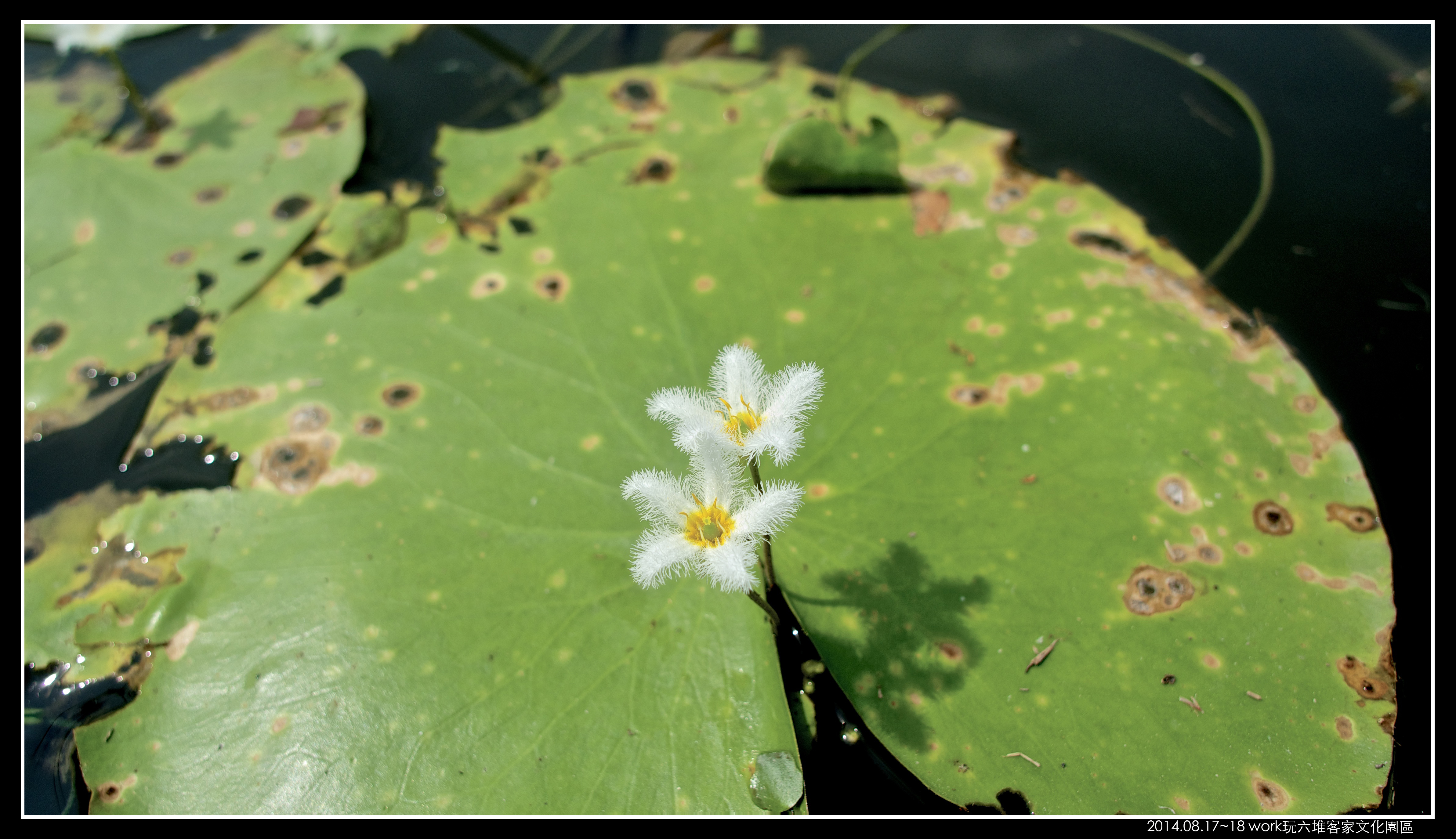
P8170058 (1)

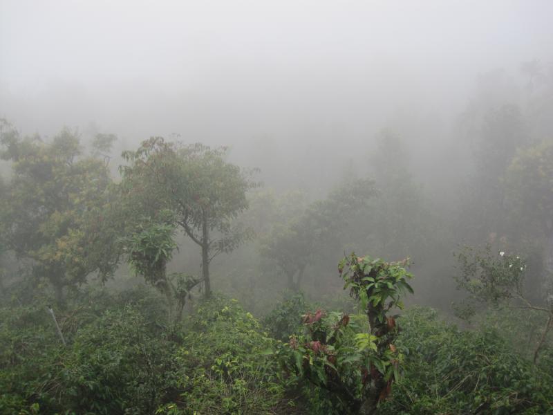
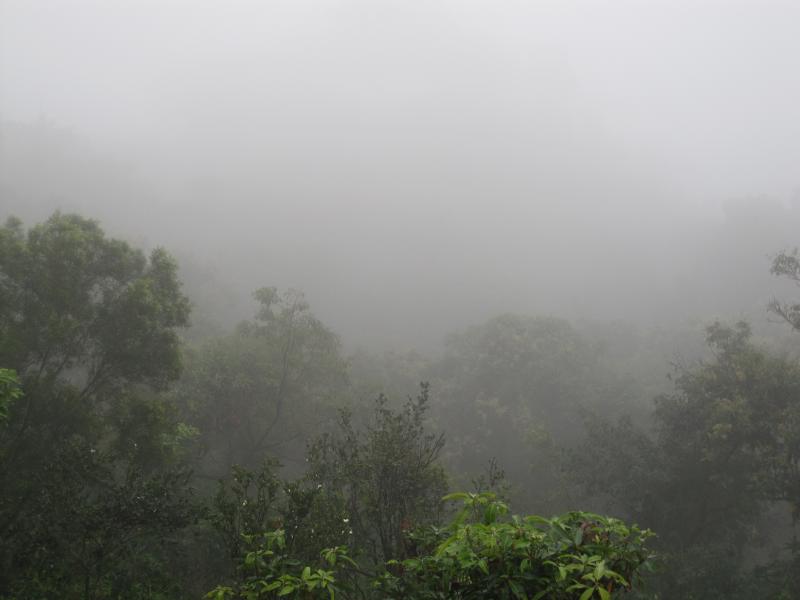
戀戀山城~霧台
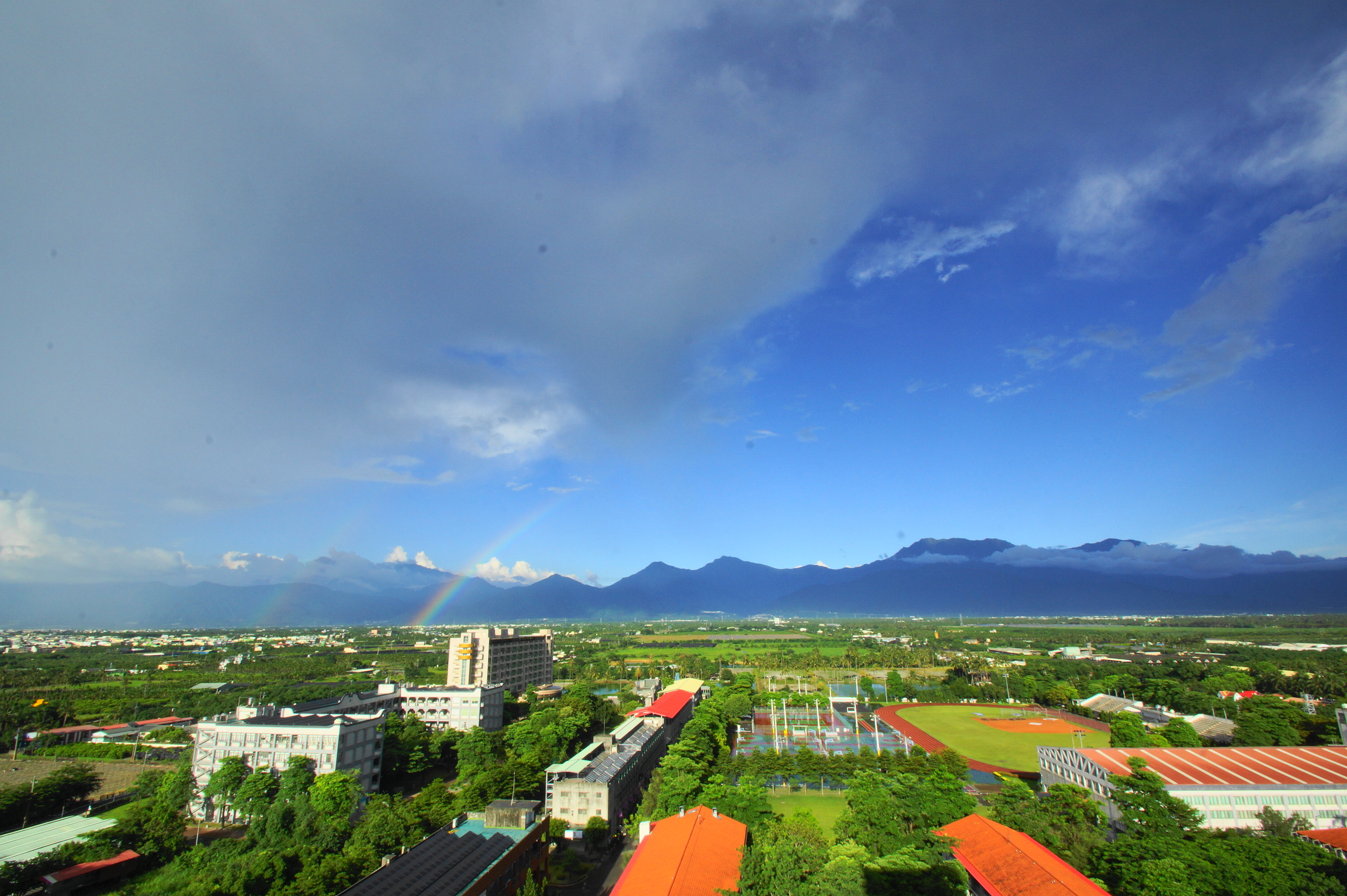
雨後的彩虹
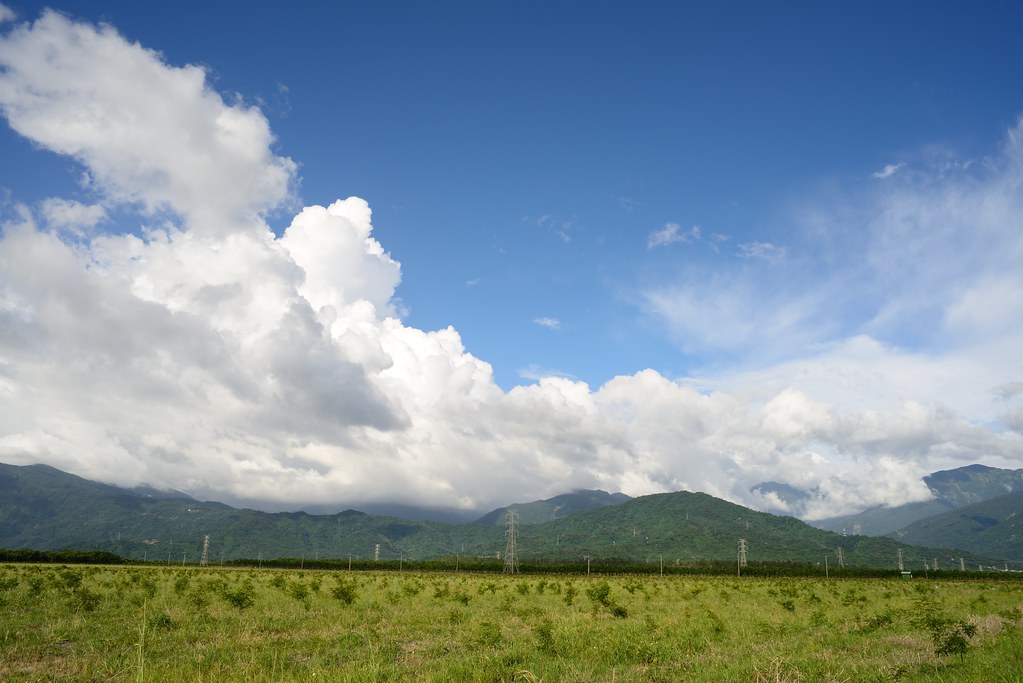
2012-The Sky_012

2016-02-03_02-21-43

朝露
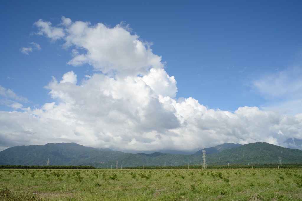
2012-The Sky_006
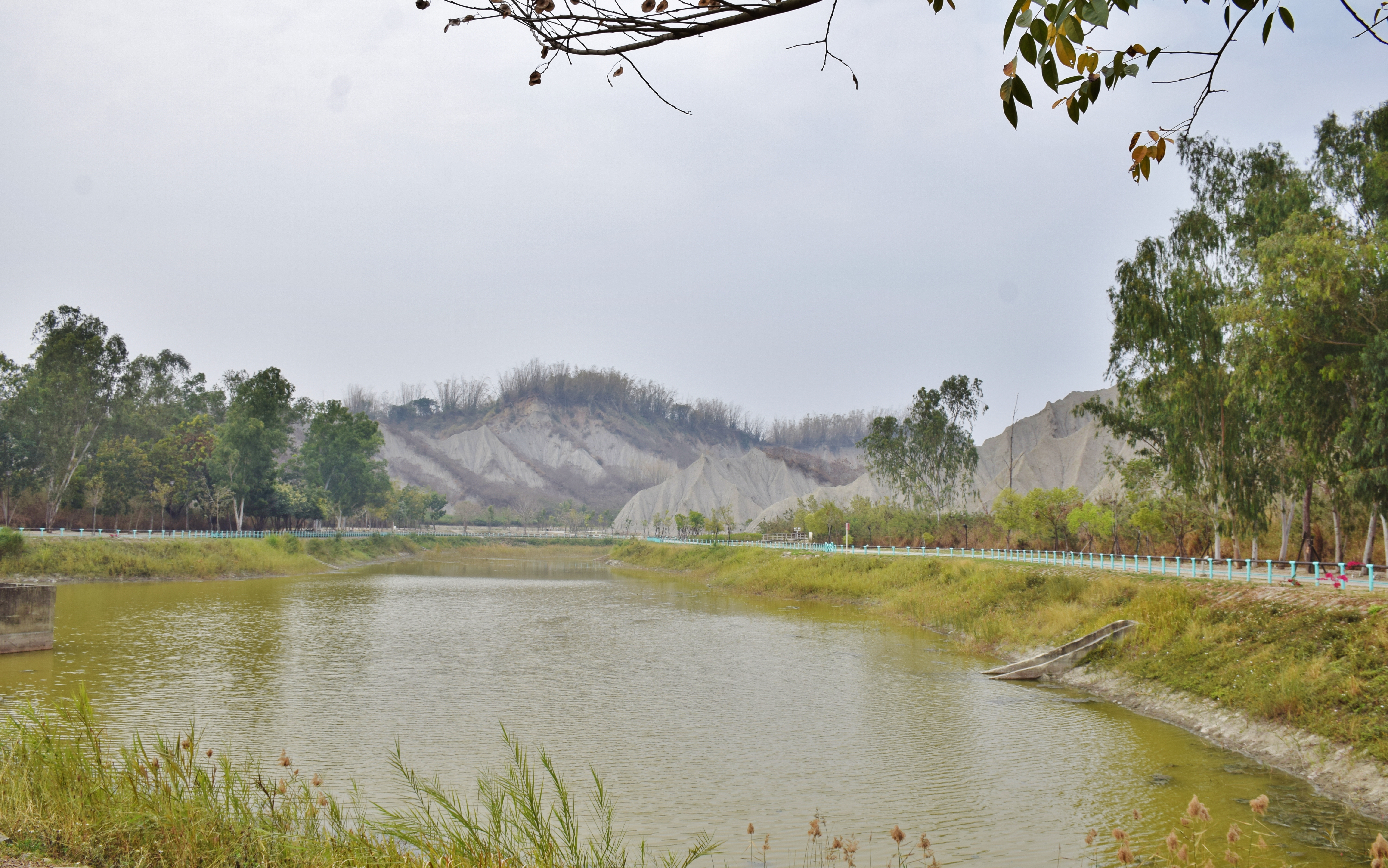
田寮月世界
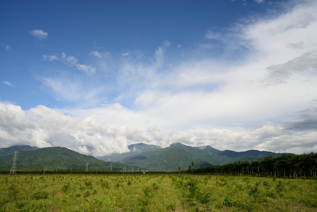
2012-The Sky_015

Liang Shan waterfall, Pington, Taiwan.

P_20141024_054438_HDR.jpg

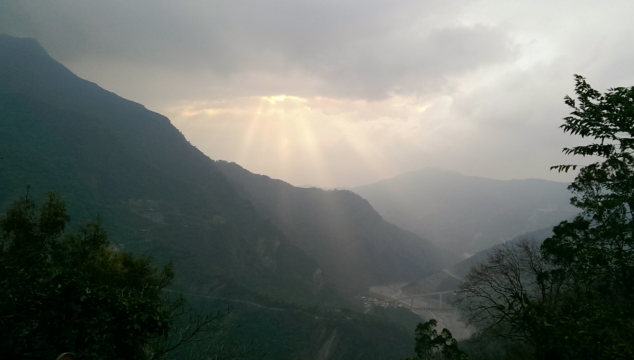
斜射光
20140209霧臺

山湖觀

可愛的小baby

2012-The Sky_016

2014年5月13日霧台的雨後
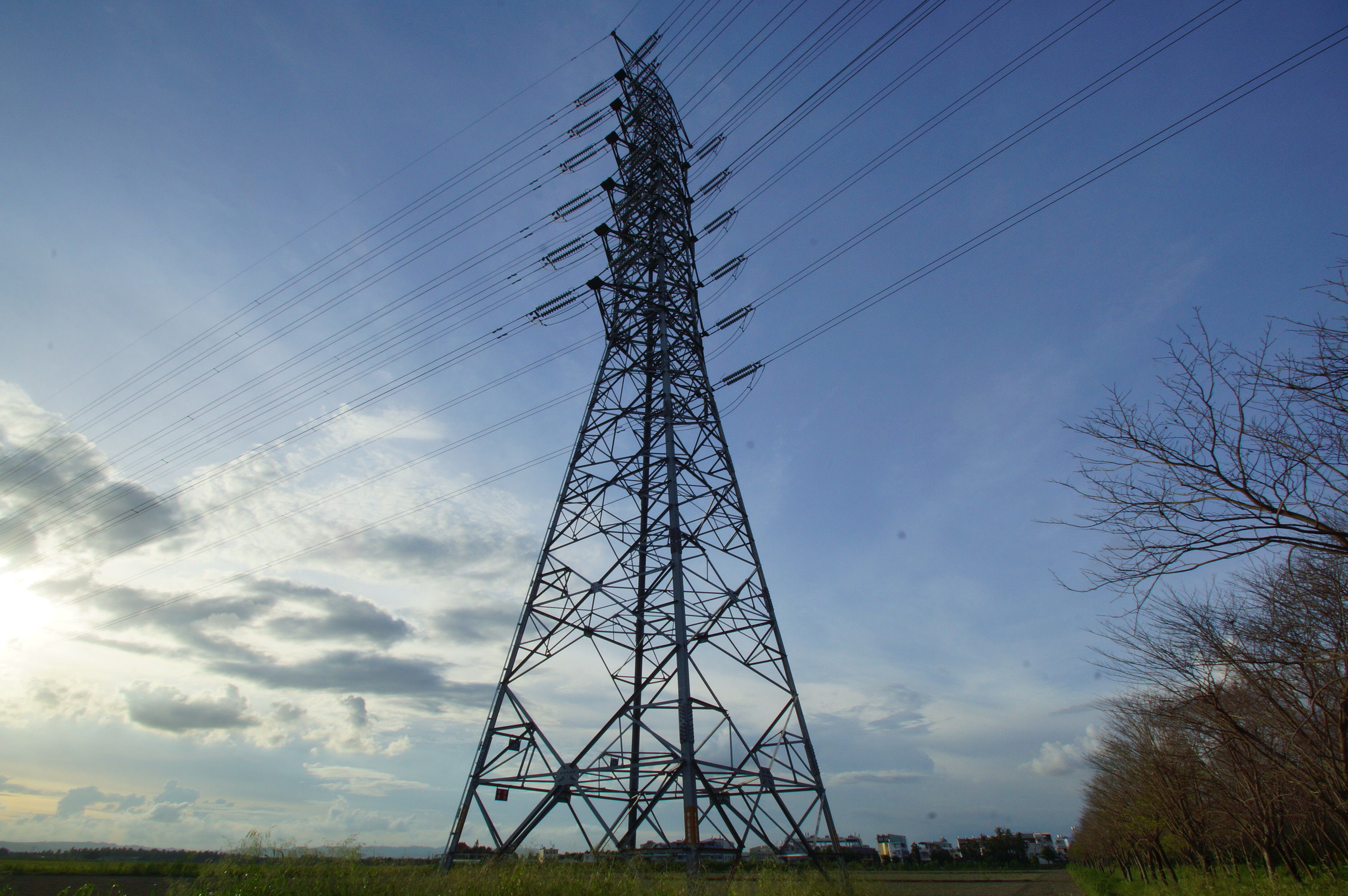
夕陽的鐵塔

20151227 排骨陳竹田別野一日遊
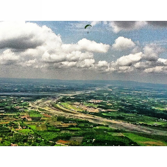
迎著氣流,往上蹬著空步高昇,期許在新的天空一片無阻,直至安全地降落結束這新的一年新的旅程。#parachute #sky #clouds #Taiwan #landscape #scenery #ClipCrop
Topographic Map of Taiwan, 屏東縣瑪家鄉佳義村
Find elevation by address:

Places in Taiwan, 屏東縣瑪家鄉佳義村:
Places near Taiwan, 屏東縣瑪家鄉佳義村:
萬安村
Taiwan, Pingtung County, Majia Township, 泰平巷12號
萬安
Taiwan, Pingtung County, Taiwu Township, 2
排灣
Taiwan, Pingtung County, Majia Township, 40
中林村
老埤村
No., Liantong St, Neipu Township, Pingtung County, Taiwan
成德村
Taiwu Township
Taiwan, Pingtung County, Neipu Township, 桑原巷21號
Taiwan Province
No., Shoubi Rd, Neipu Township, Pingtung County, Taiwan
Taiwan, Pingtung County, Taiwu Township, 良武巷1號
Taiwan, Pingtung County, Taiwu Township, 佳平巷號
武潭村
No. 36, Xinmin Rd, Wanluan Township, Pingtung County, Taiwan
Life In The Sky
Taiwan, Pingtung County, Taiwu Township, 潭南巷54號
Recent Searches:
- Elevation of Steadfast Ct, Daphne, AL, USA
- Elevation of Lagasgasan, X+CQH, Tiaong, Quezon, Philippines
- Elevation of Rojo Ct, Atascadero, CA, USA
- Elevation of Flagstaff Drive, Flagstaff Dr, North Carolina, USA
- Elevation of Avery Ln, Lakeland, FL, USA
- Elevation of Woolwine, VA, USA
- Elevation of Lumagwas Diversified Farmers Multi-Purpose Cooperative, Lumagwas, Adtuyon, RV32+MH7, Pangantucan, Bukidnon, Philippines
- Elevation of Homestead Ridge, New Braunfels, TX, USA
- Elevation of Orchard Road, Orchard Rd, Marlborough, NY, USA
- Elevation of 12 Hutchinson Woods Dr, Fletcher, NC, USA