Elevation of Tagawa District, Fukuoka Prefecture, Japan
Location: Japan > Fukuoka Prefecture >
Longitude: 130.858
Latitude: 33.627
Elevation: 92m / 302feet
Barometric Pressure: 100KPa
Elevation Map:
Satellite Map:
Related Photos:

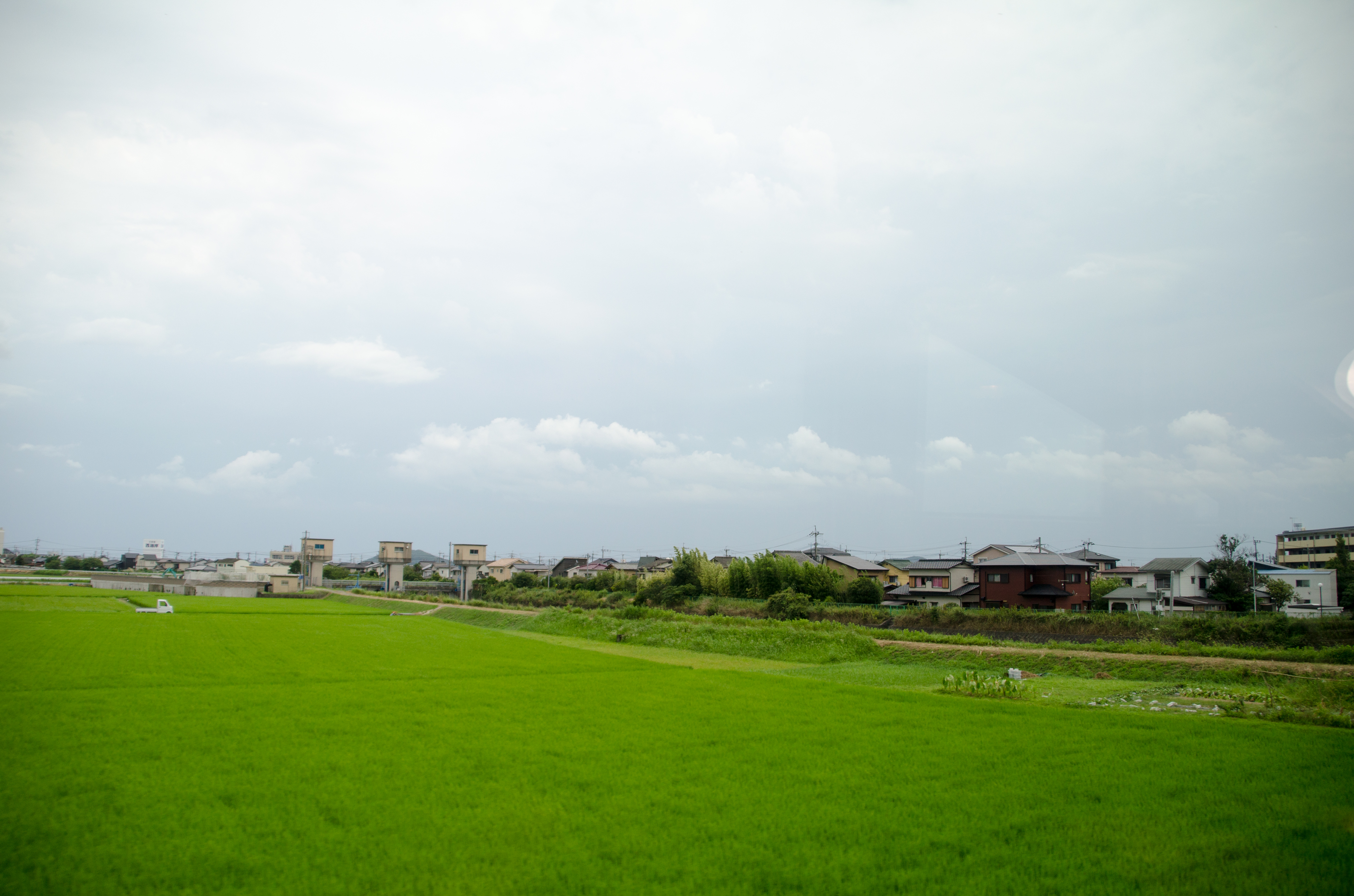
View from Fujitana station
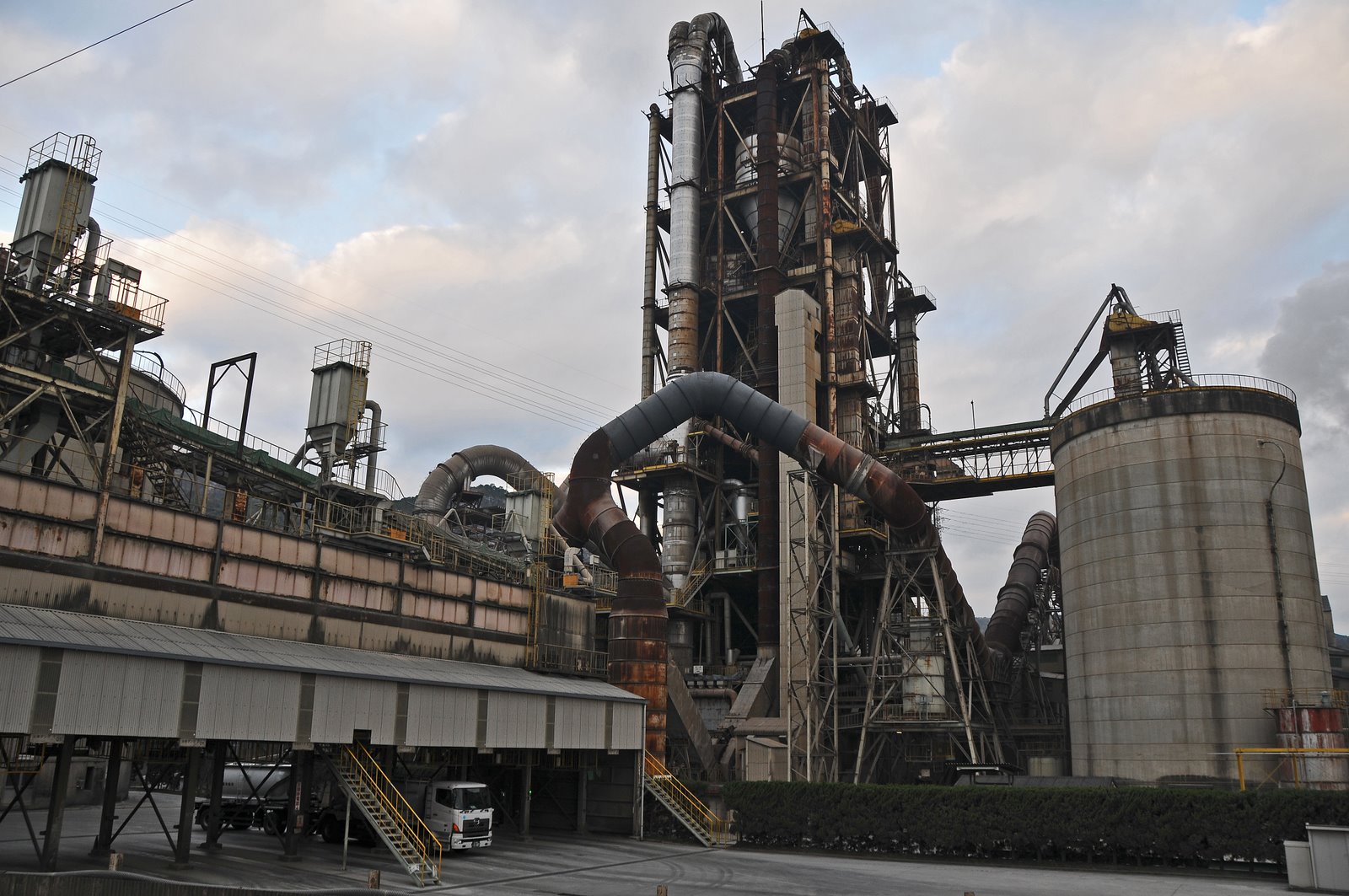
Cement plant viewed from Funao sta.
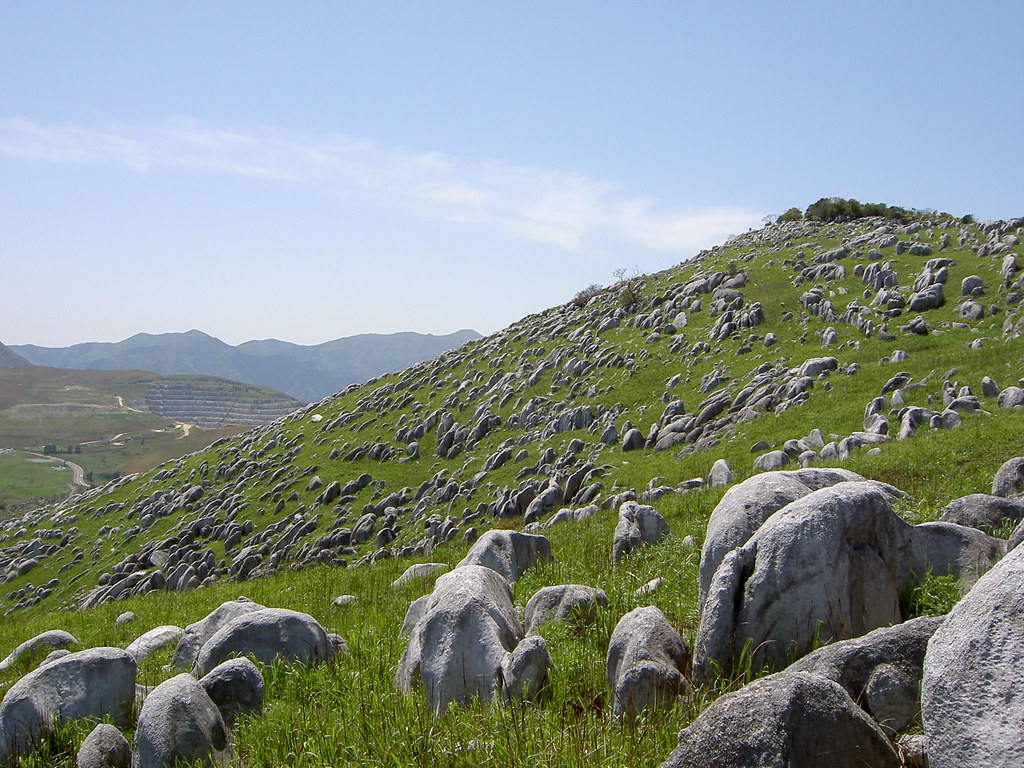
Hiraodai karst plateau; May 3, 2006
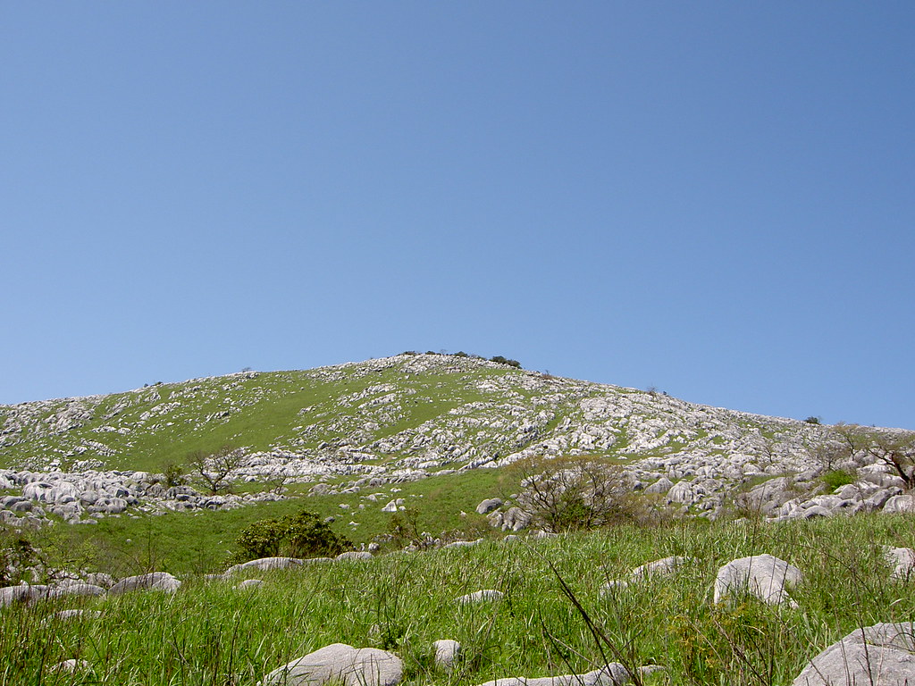
Hiraodai karst plateau; May 3, 2006
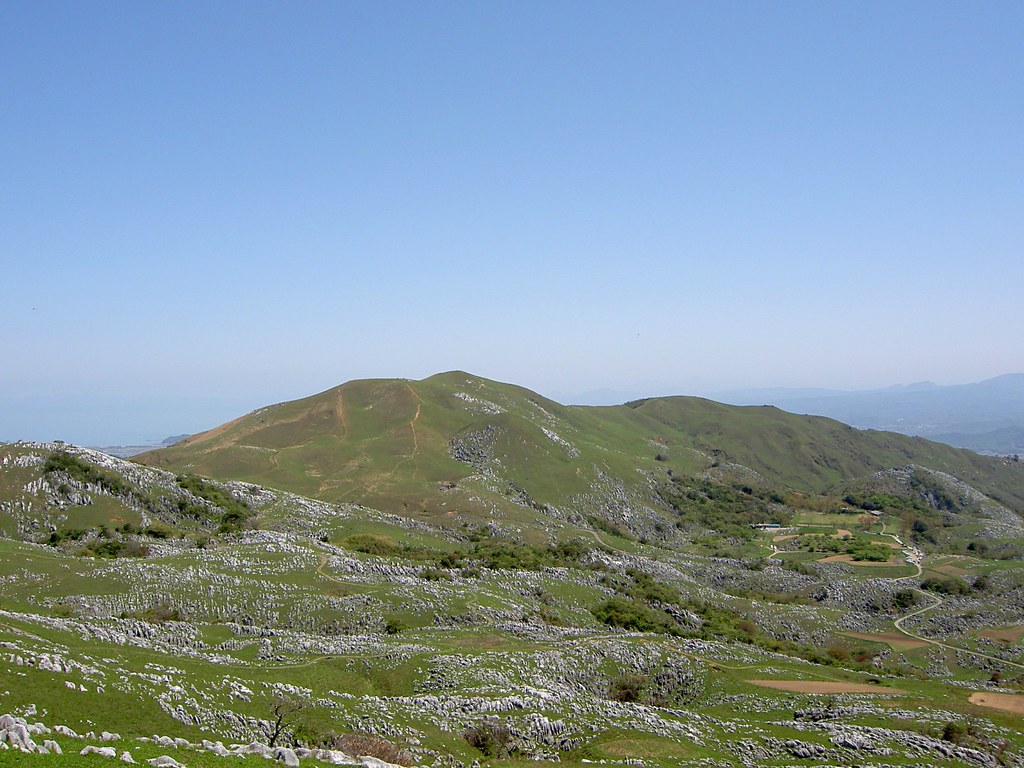
Hiraodai karst plateau; May 3, 2006
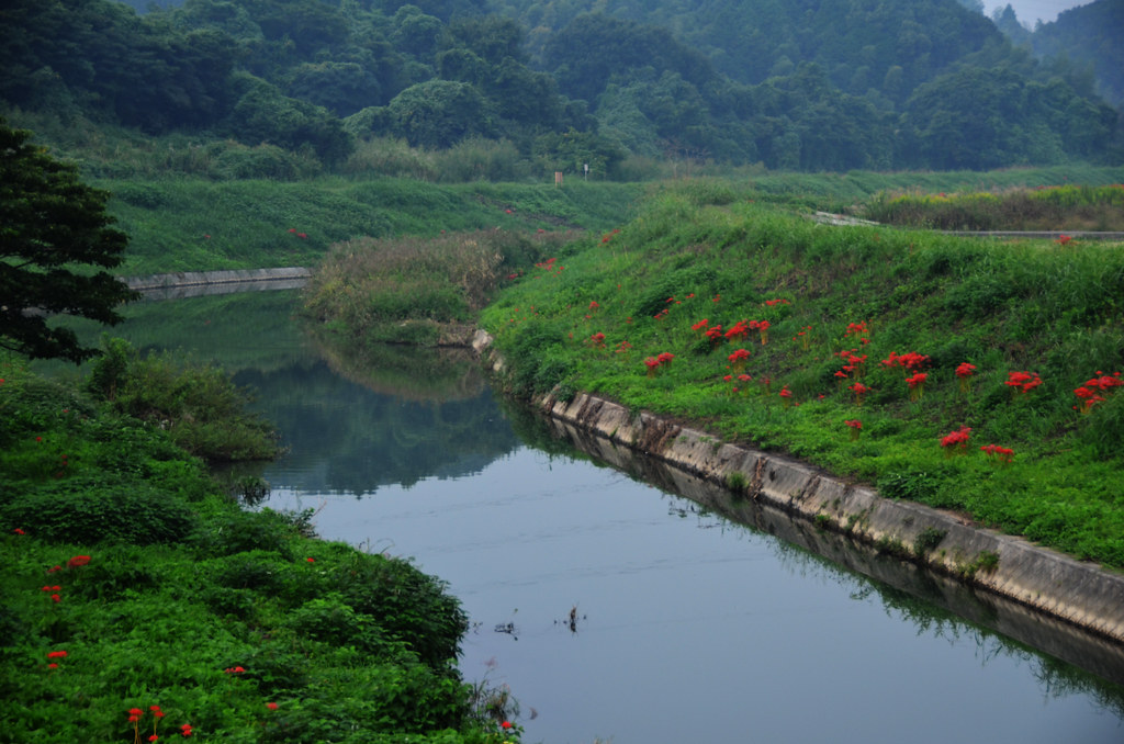
River Curve With Red Spider Lilies

Late September Spider Lilies
DSC01236 HX30V

Sake brewery by the railway 造り酒屋とローカル線

入り口
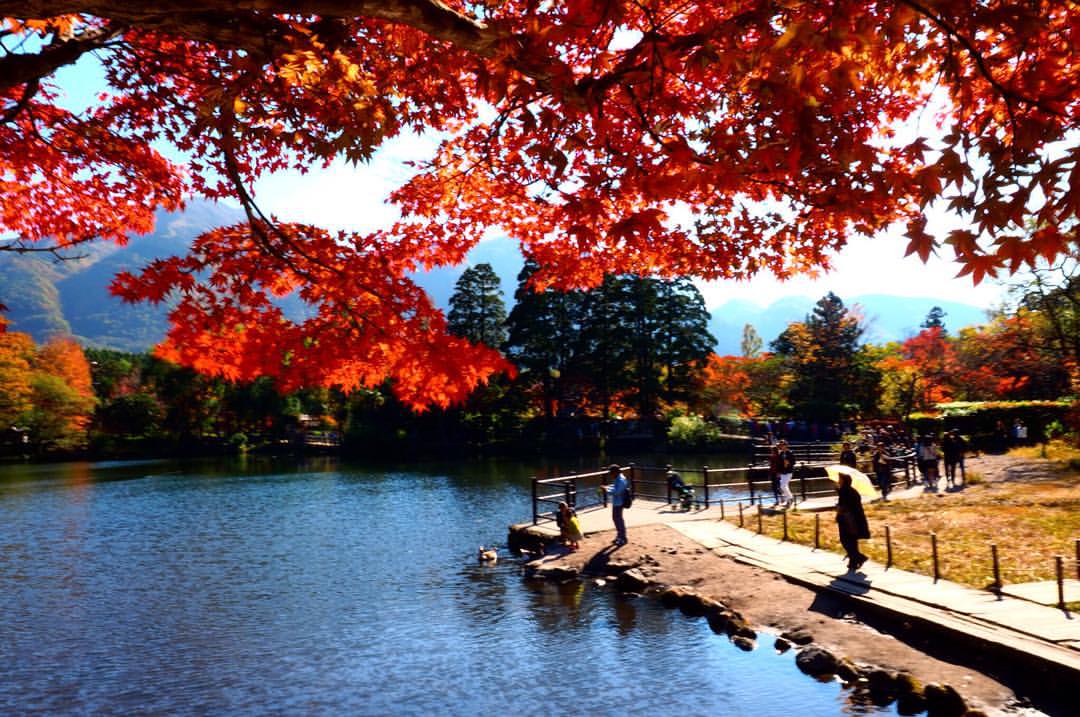
#紅葉 #kyushu #japan #由布院 #九州 #金鱗湖 #Autumn
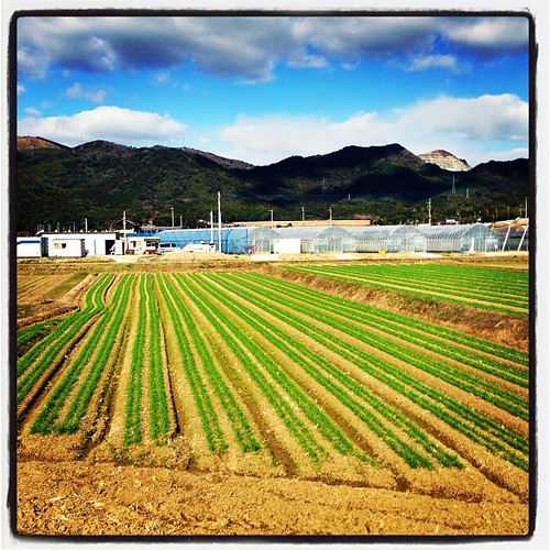
Countryside farms

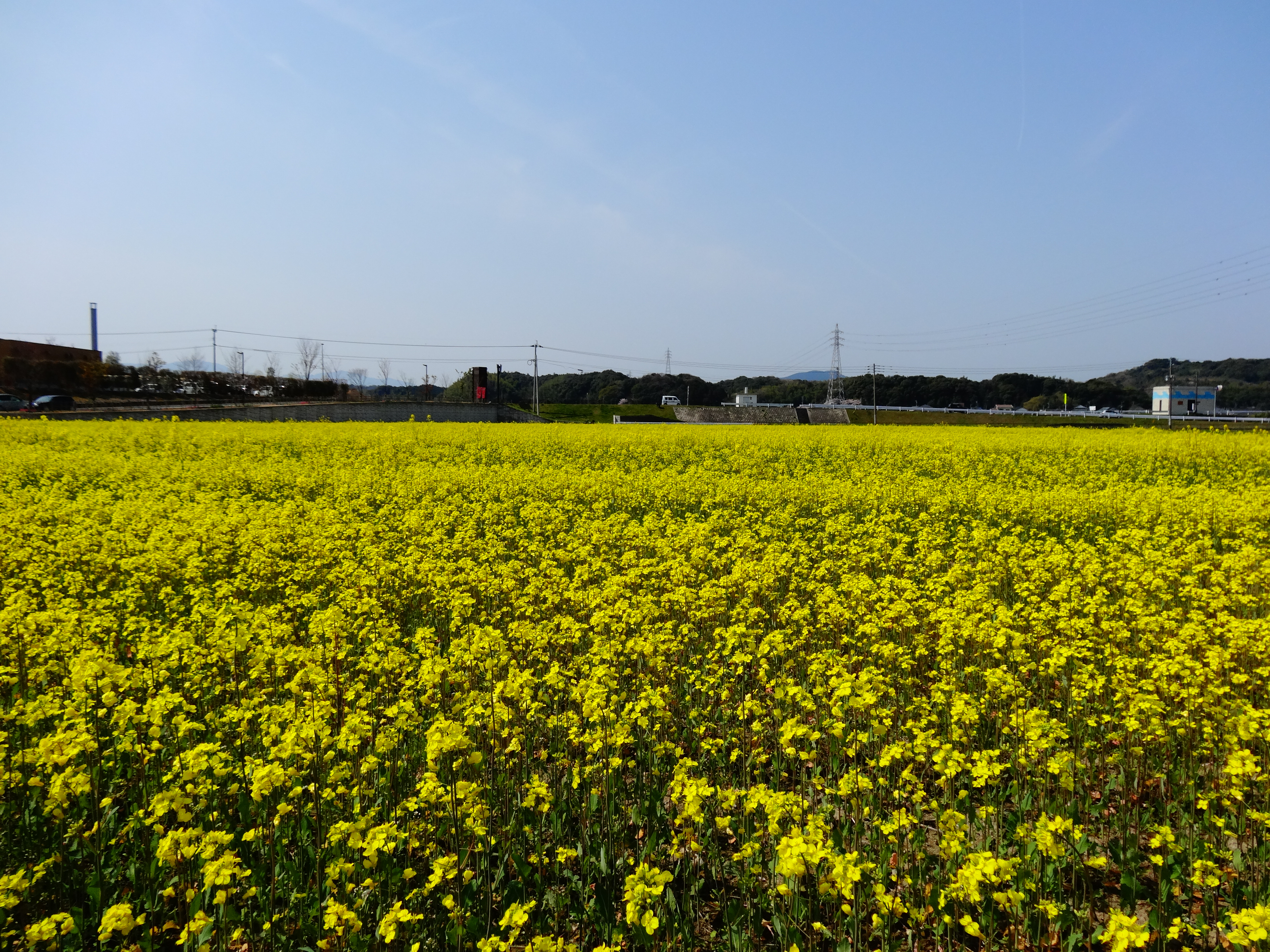
Sun flower
2013/08/07

c o m e a n d s e e. I am coming to realize more and more that the unity and love that Jesus offers is truly the only way. We cannot live in the fullness of life without Him. I am so thankful for His willingness to reach In to our lives and stren
Several of the hills here in rural Fukuoka have been completely destroyed by quarries.

2015_0526平尾台ハイキング0024

IMG_5064.jpg
香春岳
DSC00519.JPG

2015_0526平尾台ハイキング0033

2012/06/15
DSC_8714.jpg
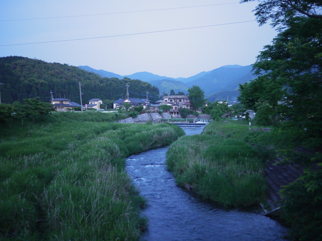
Ima River
Topographic Map of Tagawa District, Fukuoka Prefecture, Japan
Find elevation by address:

Places in Tagawa District, Fukuoka Prefecture, Japan:
Places near Tagawa District, Fukuoka Prefecture, Japan:
Oto
Aka
Uchida, Aka-mura, Tagawa-gun, Fukuoka-ken -, Japan
Daigyōji, Ōtō-machi, Tagawa-gun, Fukuoka-ken -, Japan
Kawara
4-23 Sakaemachi, Tagawa-shi, Fukuoka-ken -, Japan
-7 Shō, Soeda-machi, Tagawa-gun, Fukuoka-ken -, Japan
Tagawa
Kagamiyama, Kawara-machi, Tagawa-gun, Fukuoka-ken -, Japan
Saigawakamitakaya, Miyako-machi, Miyako-gun, Fukuoka-ken -, Japan
Saigawafurukawa, Miyako-machi, Miyako-gun, Fukuoka-ken -, Japan
Miyako District
Miyako
Benjō, Fukuchi-machi, Tagawa-gun, Fukuoka-ken -, Japan
Iwamaru, Chikujō-machi, Chikujō-gun, Fukuoka-ken -, Japan
2 Chome-12-26 Ōhashi, Yukuhashi-shi, Fukuoka-ken -, Japan
Shinnyouji, Chikujō-machi, Chikujō-gun, Fukuoka-ken -, Japan
Chikujo District
Chikujo
Recent Searches:
- Elevation of Corso Fratelli Cairoli, 35, Macerata MC, Italy
- Elevation of Tallevast Rd, Sarasota, FL, USA
- Elevation of 4th St E, Sonoma, CA, USA
- Elevation of Black Hollow Rd, Pennsdale, PA, USA
- Elevation of Oakland Ave, Williamsport, PA, USA
- Elevation of Pedrógão Grande, Portugal
- Elevation of Klee Dr, Martinsburg, WV, USA
- Elevation of Via Roma, Pieranica CR, Italy
- Elevation of Tavkvetili Mountain, Georgia
- Elevation of Hartfords Bluff Cir, Mt Pleasant, SC, USA