Elevation of Taftan, Iran
Location: Iran > Sistan And Baluchestan > Khash >
Longitude: 61.1325
Latitude: 28.6
Elevation: 3905m / 12812feet
Barometric Pressure: 62KPa
Elevation Map:
Satellite Map:
Related Photos:
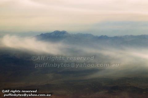
3941m (2901m) Kuh-e Taftan
Topographic Map of Taftan, Iran
Find elevation by address:

Places near Taftan, Iran:
Recent Searches:
- Elevation of Corso Fratelli Cairoli, 35, Macerata MC, Italy
- Elevation of Tallevast Rd, Sarasota, FL, USA
- Elevation of 4th St E, Sonoma, CA, USA
- Elevation of Black Hollow Rd, Pennsdale, PA, USA
- Elevation of Oakland Ave, Williamsport, PA, USA
- Elevation of Pedrógão Grande, Portugal
- Elevation of Klee Dr, Martinsburg, WV, USA
- Elevation of Via Roma, Pieranica CR, Italy
- Elevation of Tavkvetili Mountain, Georgia
- Elevation of Hartfords Bluff Cir, Mt Pleasant, SC, USA