Elevation of Taft Hwy, Williamstown, KY, USA
Location: United States > Kentucky > Grant County > Williamstown >
Longitude: -84.711764
Latitude: 38.594491
Elevation: 267m / 876feet
Barometric Pressure: 98KPa
Elevation Map:
Satellite Map:
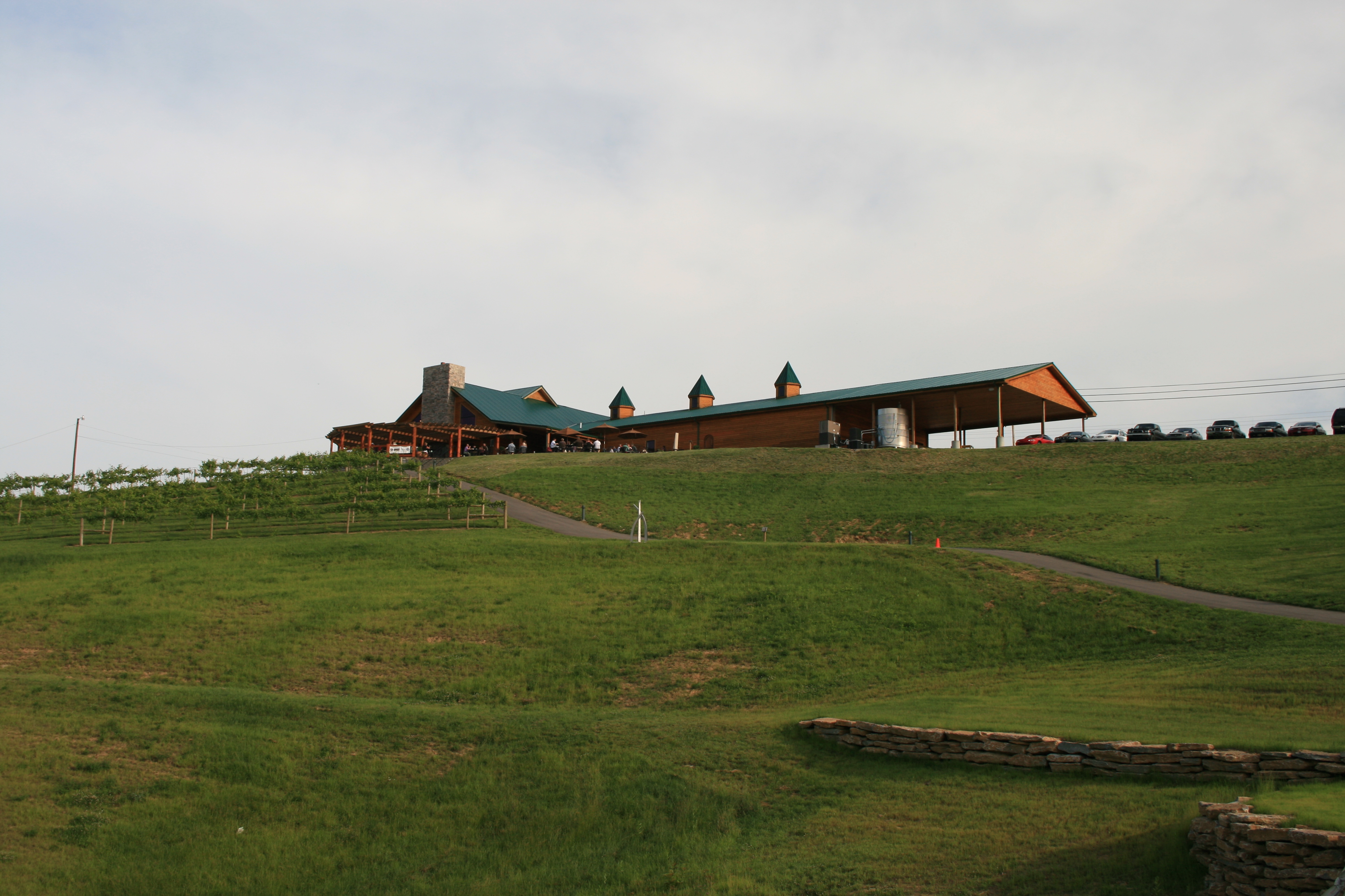
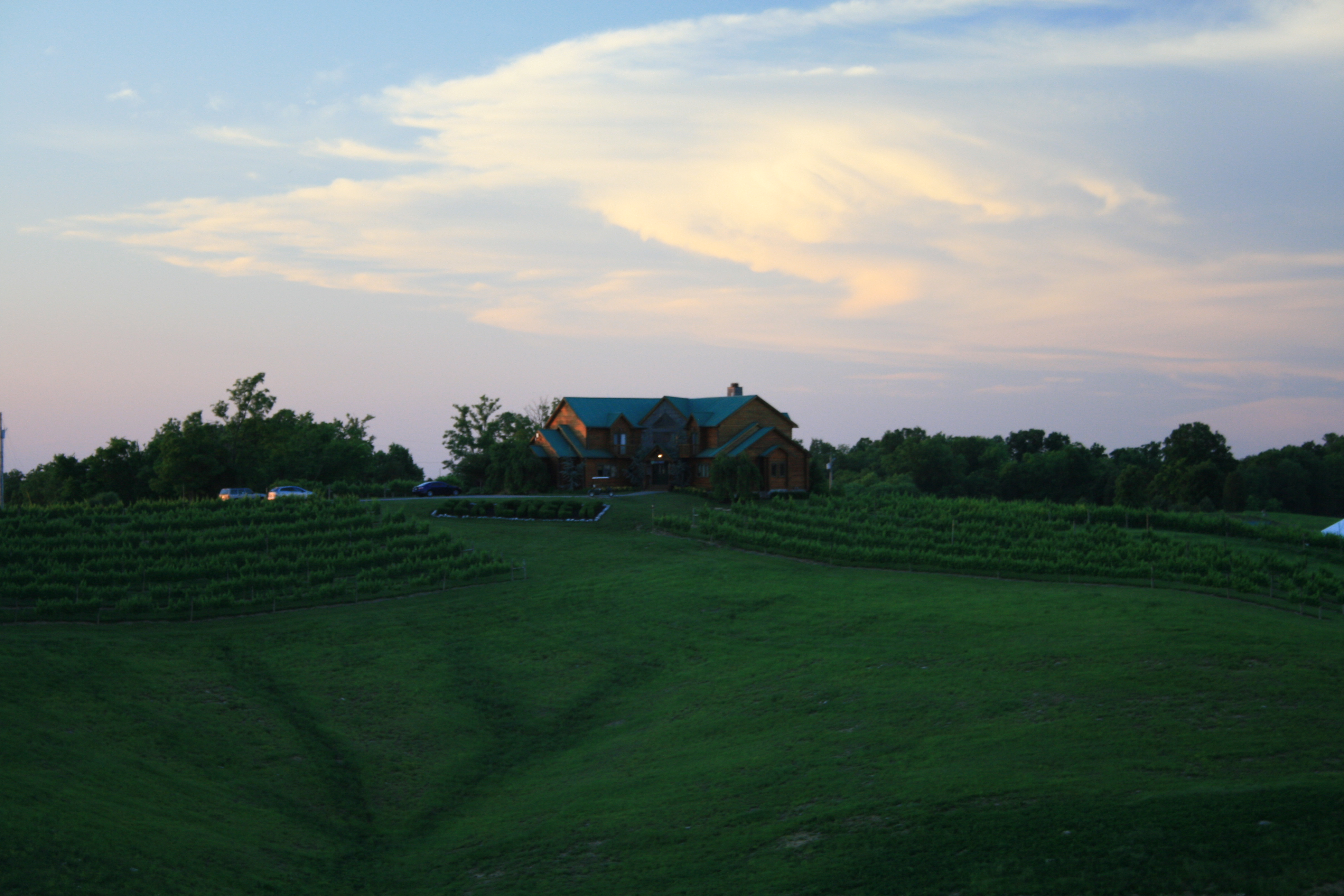
Related Photos:

100_8386_2
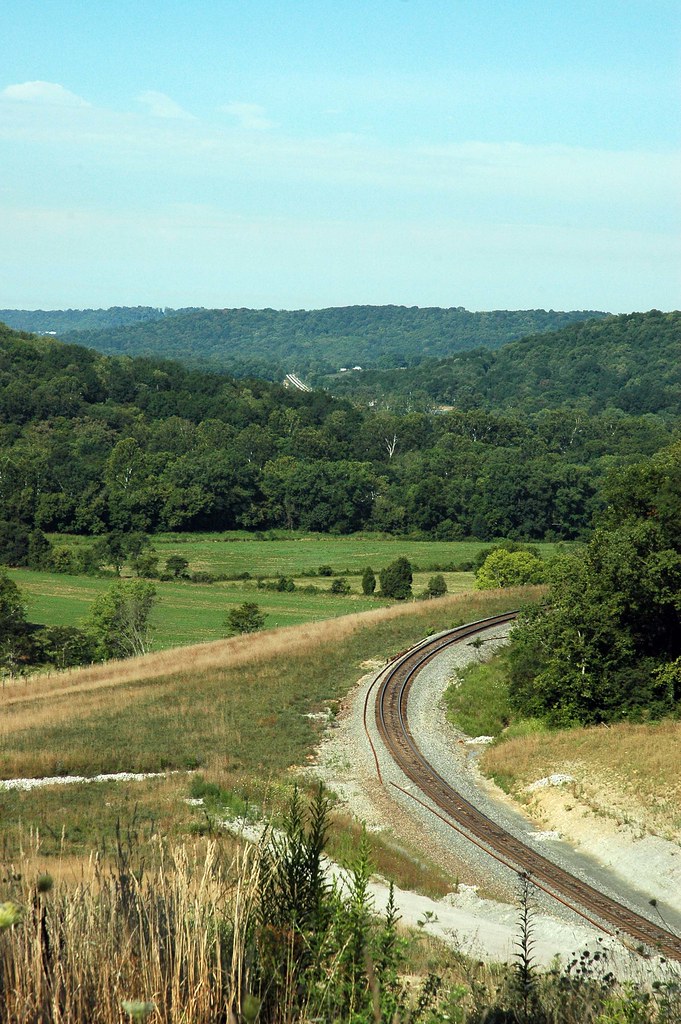
Glencoe KY Tunnell has been Daylighted!

Glencoe KY Tunnell has been Daylighted!

#whoosh rushing to catch the light of shorter winter days
2009 Michael & Blair's Wedding 05
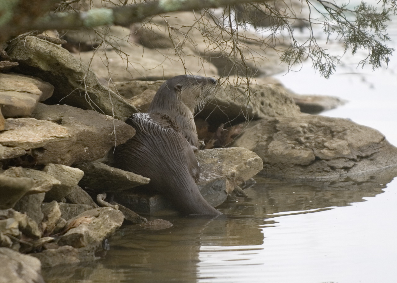
Otter on rocks
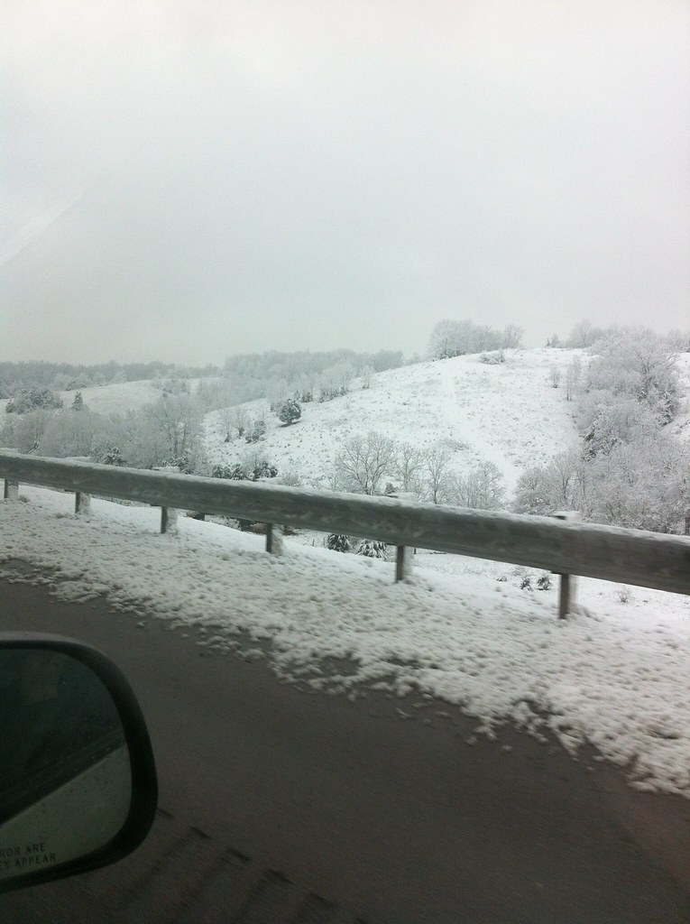
IMAGE_585.jpeg
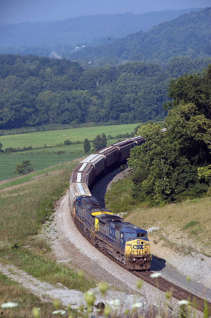
NB @ Glencoe KY 9/6/09
2009 Michael & Blair's Wedding 11
2009 Michael & Blair's Wedding 52
Topographic Map of Taft Hwy, Williamstown, KY, USA
Find elevation by address:

Places near Taft Hwy, Williamstown, KY, USA:
11690 Jonesville Rd
Taft Hwy, Dry Ridge, KY, USA
Taft Hwy, Williamstown, KY, USA
Jonesville
Grant County
Heekin Lawrenceville Rd, Williamstown, KY, USA
US-, Owenton, KY, USA
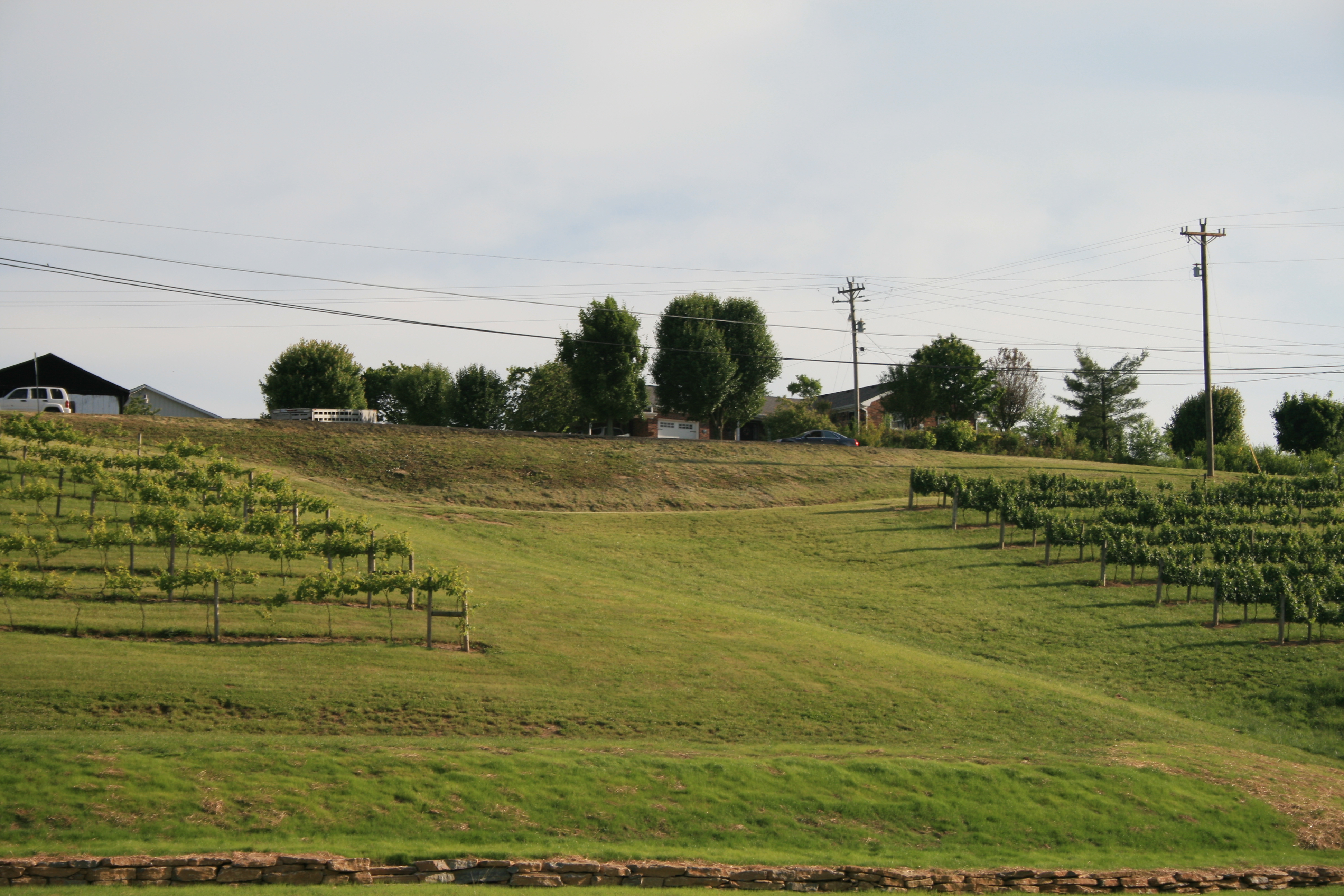
Elk Creek Vineyards
Georgetown Rd, Owenton, KY, USA
US-25, Williamstown, KY, USA
213 N Main
KY-36, Williamstown, KY, USA
Owen County
Owenton
Elliston Mt Zion Rd, Dry Ridge, KY, USA
US-, Sparta, KY, USA
Elliston Mt Zion Rd, Dry Ridge, KY, USA
3965 Elliston Mt Zion Rd
Georgetown Rd, Owenton, KY, USA
Dry Ridge
Recent Searches:
- Elevation of Elwyn Dr, Roanoke Rapids, NC, USA
- Elevation of Congressional Dr, Stevensville, MD, USA
- Elevation of Bellview Rd, McLean, VA, USA
- Elevation of Stage Island Rd, Chatham, MA, USA
- Elevation of Shibuya Scramble Crossing, 21 Udagawacho, Shibuya City, Tokyo -, Japan
- Elevation of Jadagoniai, Kaunas District Municipality, Lithuania
- Elevation of Pagonija rock, Kranto 7-oji g. 8"N, Kaunas, Lithuania
- Elevation of Co Rd 87, Jamestown, CO, USA
- Elevation of Tenjo, Cundinamarca, Colombia
- Elevation of Côte-des-Neiges, Montreal, QC H4A 3J6, Canada