Elevation of Tafraoute, Morocco
Location: Morocco > Souss-massa-draa > Tiznit Province >
Longitude: -8.9769851
Latitude: 29.7182191
Elevation: 999m / 3278feet
Barometric Pressure: 90KPa
Elevation Map:
Satellite Map:
Related Photos:

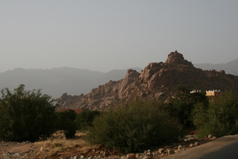
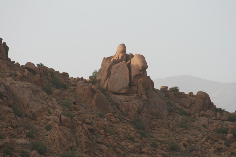
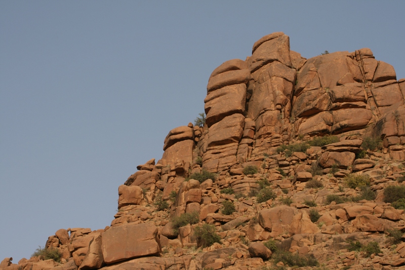
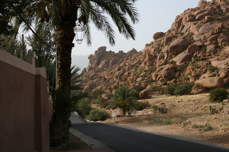
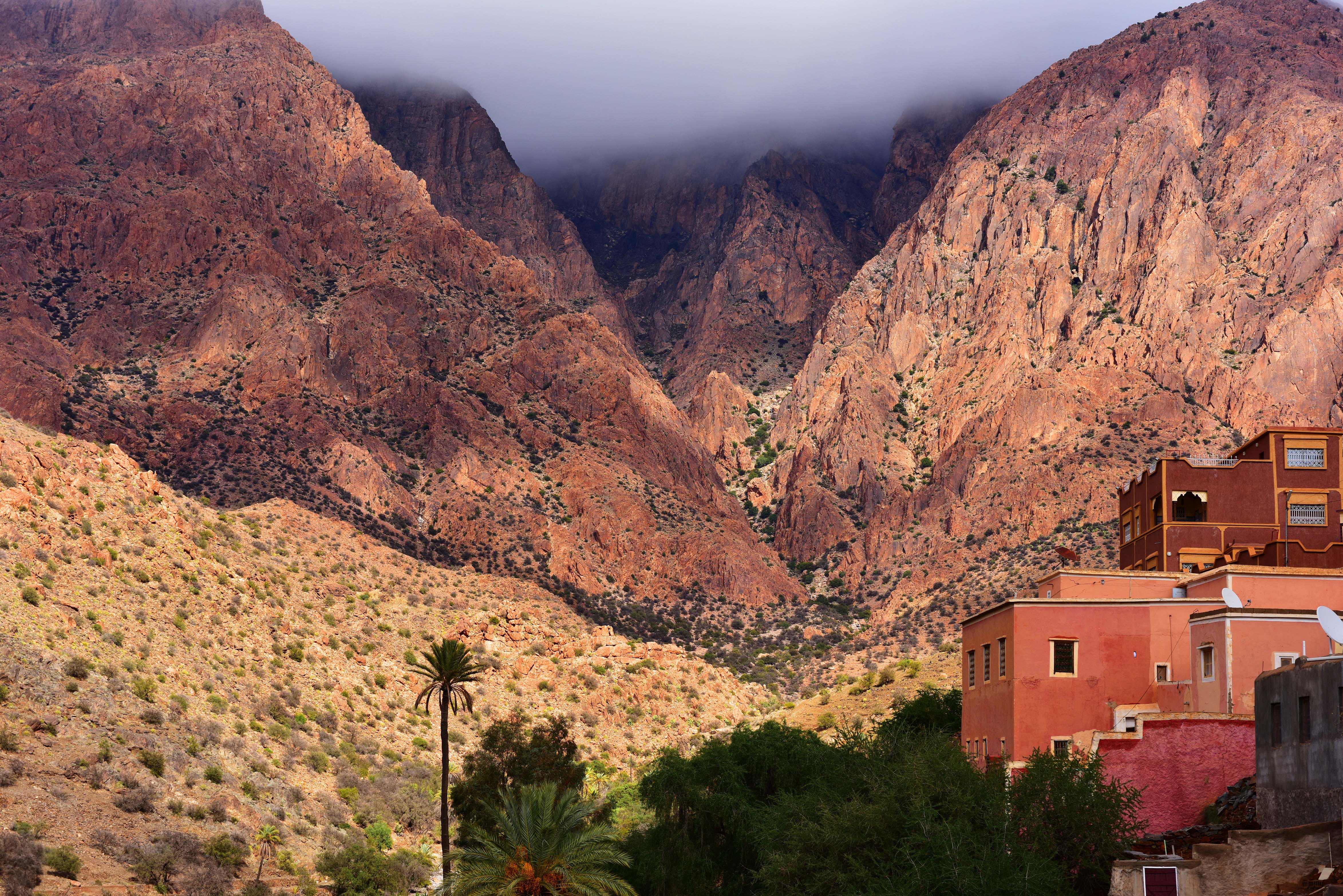
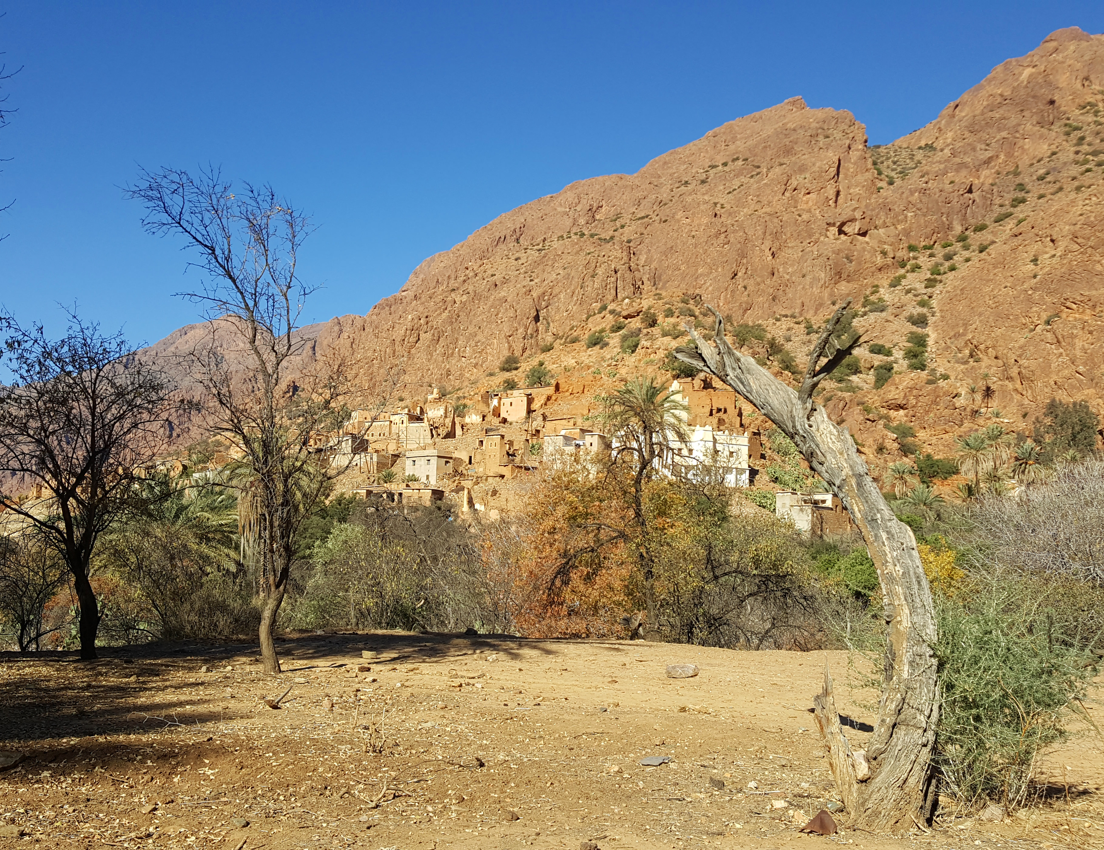
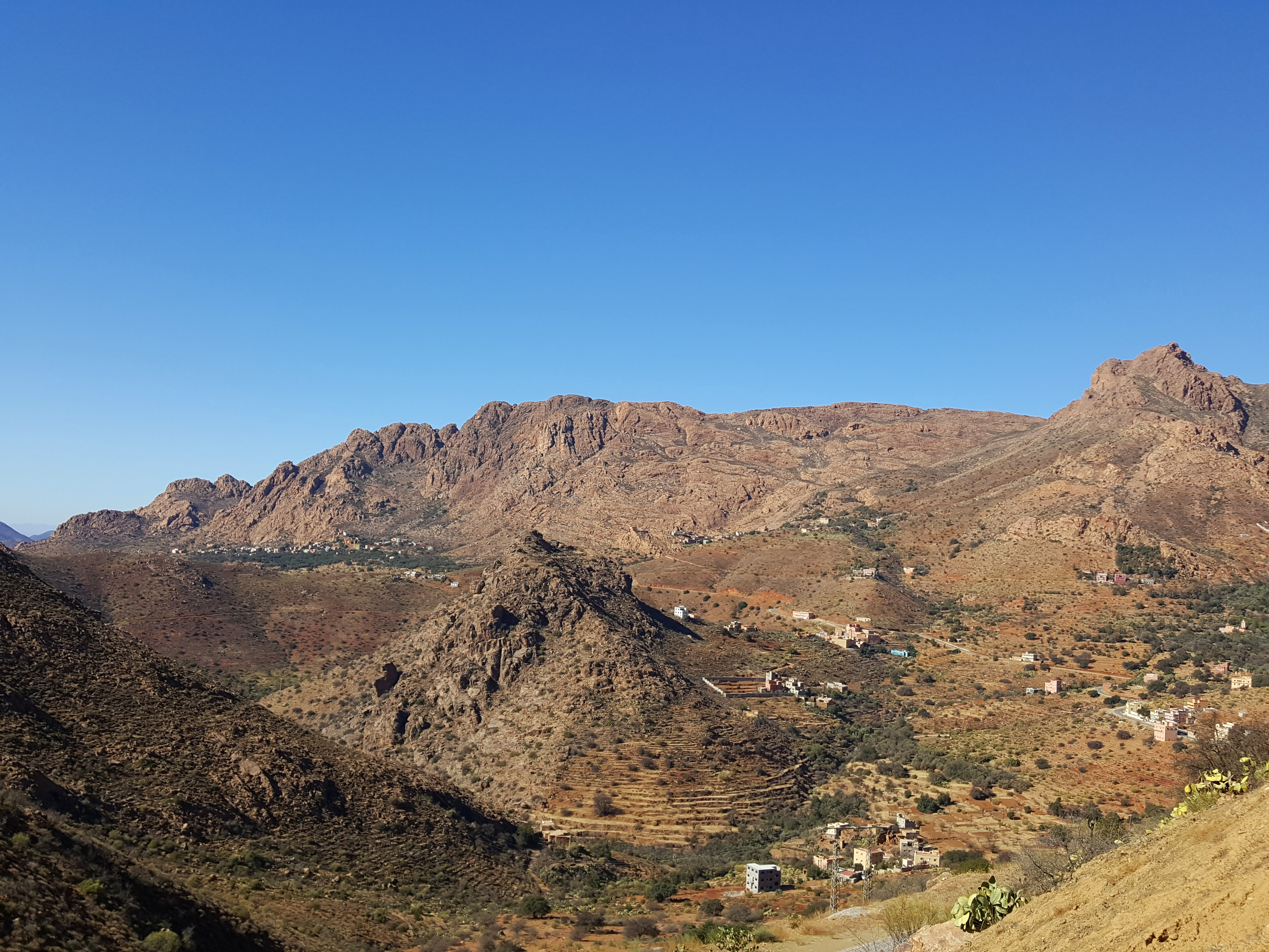
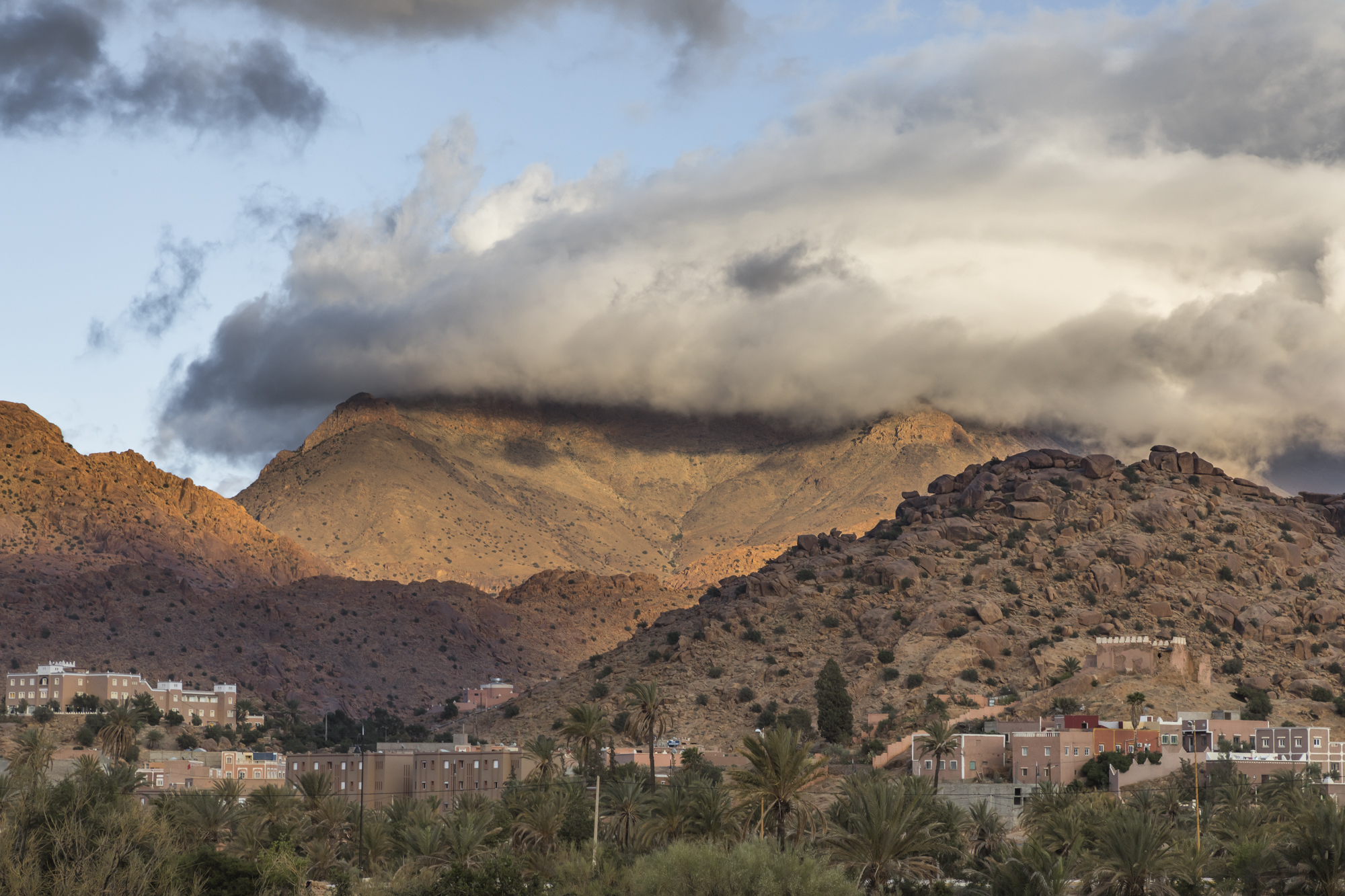
Anti-Atlas, Ameln Valley

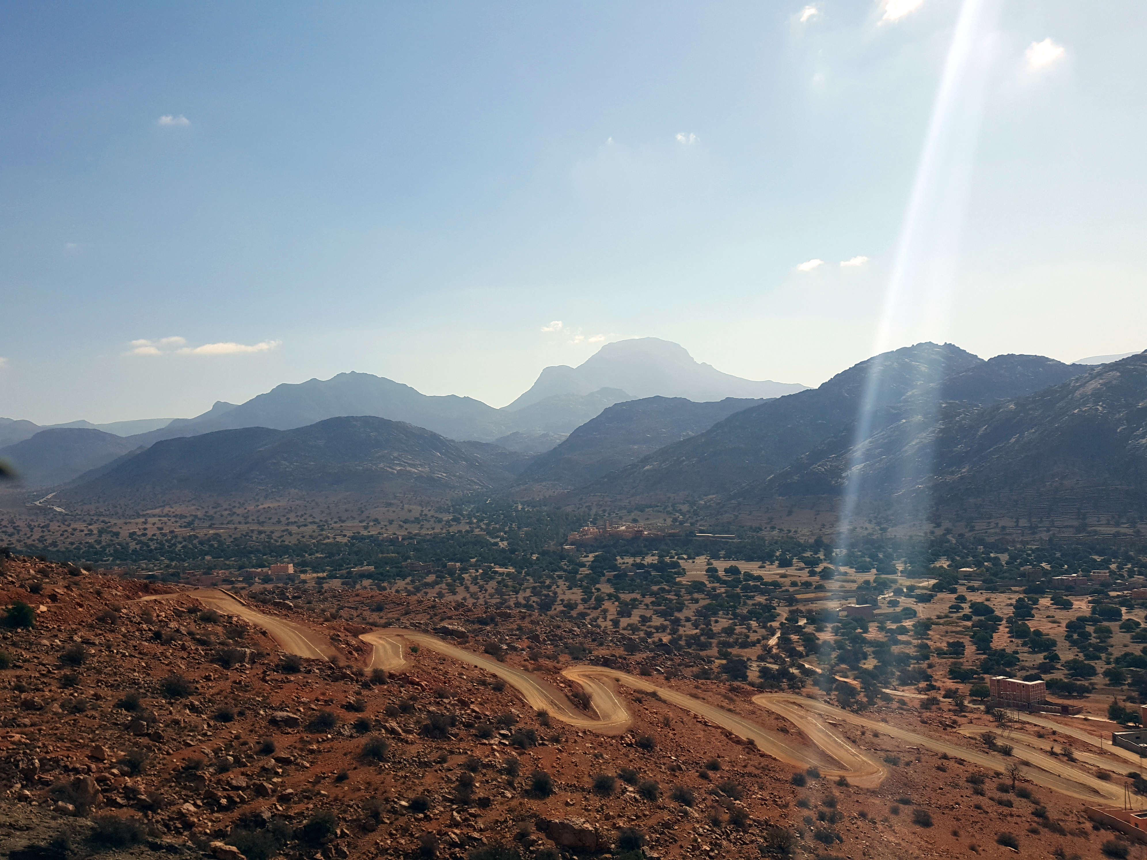
Panorama en route from Taroudant - Tafraout

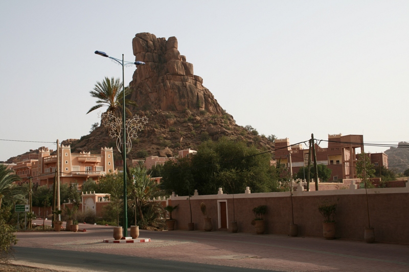
Anebdour, Morocco
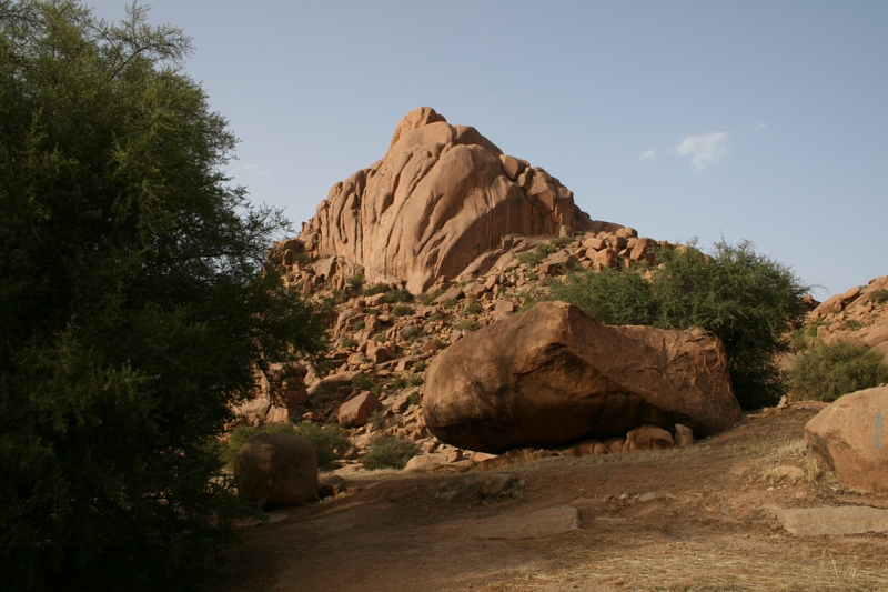
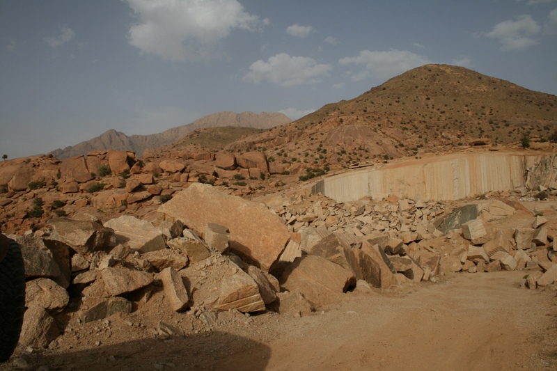
2011-08-05-17-50-14_maroc_tiznit-tafraoute
2011-08-05-17-41-10_maroc_tiznit-tafraoute
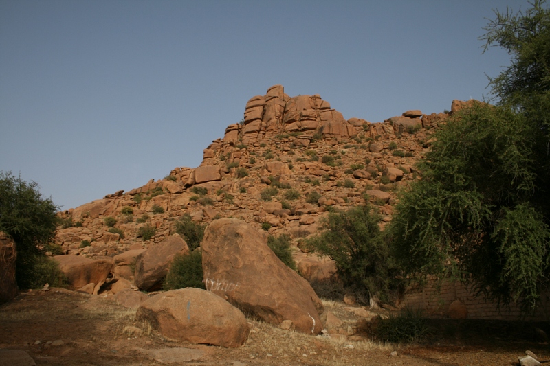
2011-08-05-17-50-22_maroc_tiznit-tafraoute
2011-08-05-17-48-14_maroc_tiznit-tafraoute
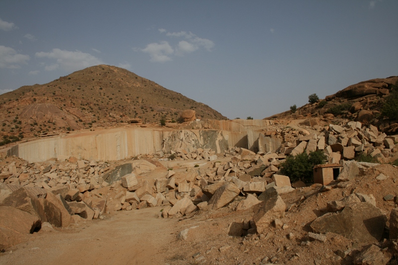
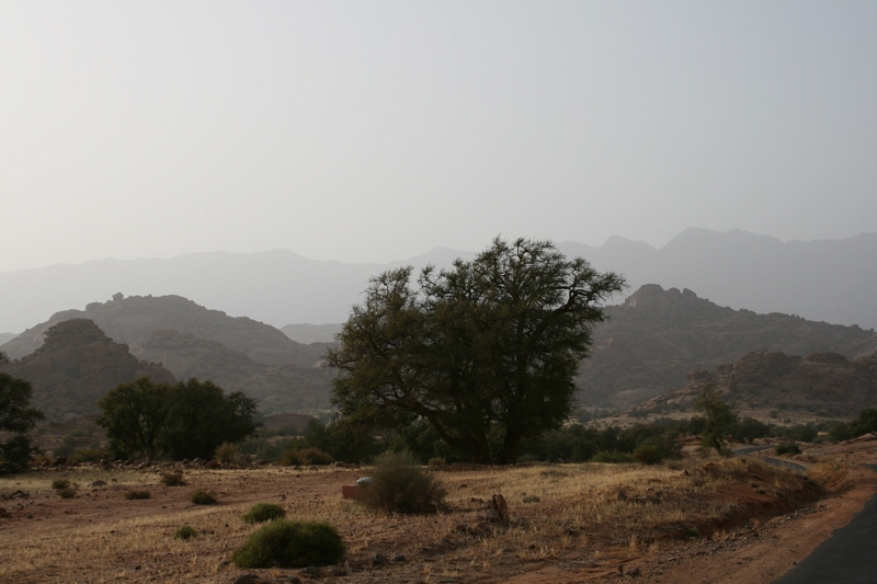
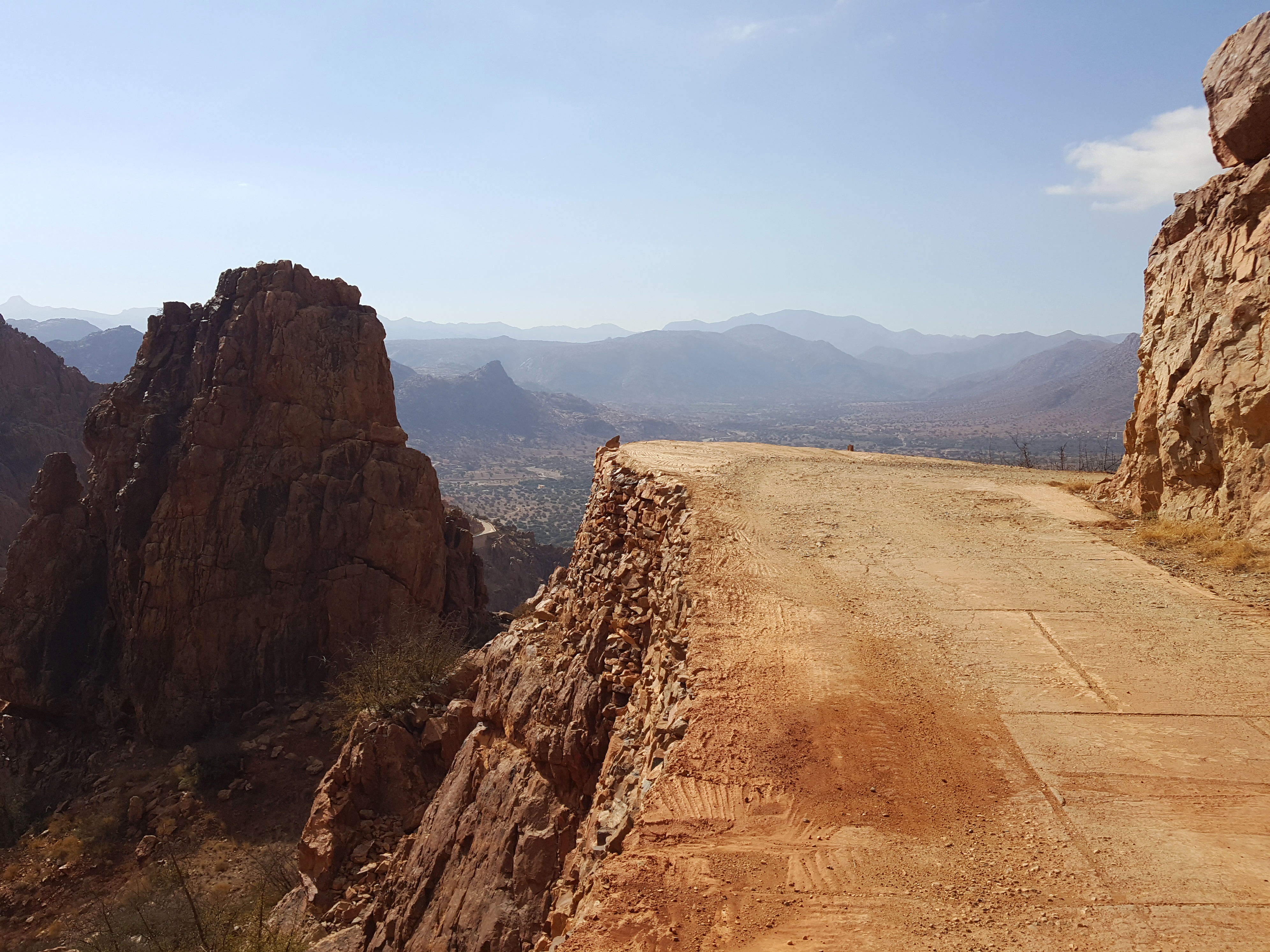
2011-08-05-17-30-12_maroc_tiznit-tafraoute
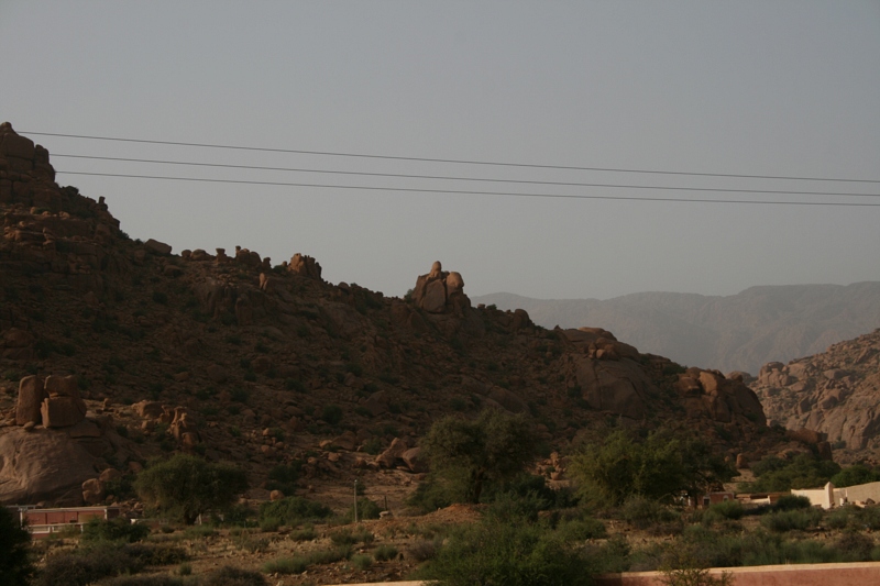
2011-08-05-17-42-16_maroc_tiznit-tafraoute
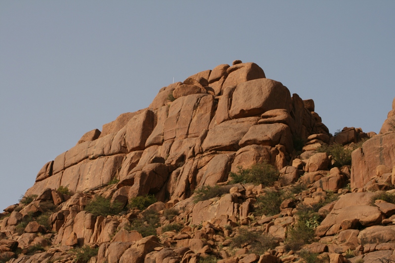
2011-08-05-17-46-14_maroc_tiznit-tafraoute
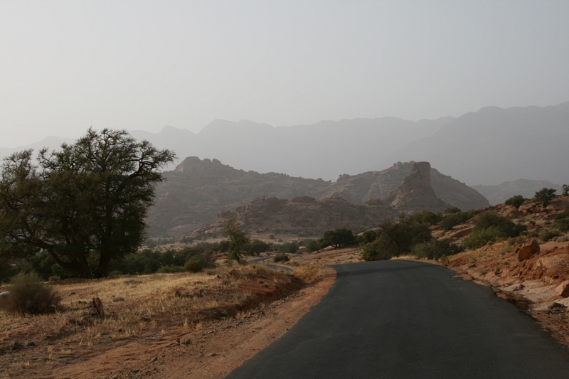
2011-08-05-17-39-06_maroc_tiznit-tafraoute
2011-08-05-17-43-38_maroc_tiznit-tafraoute
2011-08-05-17-48-40_maroc_tiznit-tafraoute
2011-08-05-17-50-00_maroc_tiznit-tafraoute
2011-08-05-17-30-30_maroc_tiznit-tafraoute
2011-08-05-17-30-14_maroc_tiznit-tafraoute
2011-08-05-17-39-00_maroc_tiznit-tafraoute
2011-08-05-17-46-12_maroc_tiznit-tafraoute
2011-08-05-17-44-24_maroc_tiznit-tafraoute
2011-08-05-17-51-14_maroc_tiznit-tafraoute
2011-08-05-16-55-28_maroc_tiznit-tafraoute
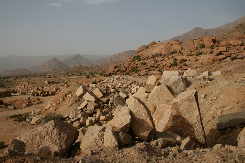
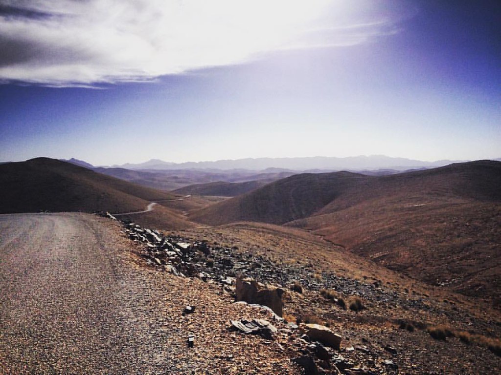
Tagdicht - Exploring the Ameln Valley on MTB
Exploring the Ameln Valley on MTB - Road to Tagdicht
Exploring the Ameln Valley on MTB - Road to Tagdicht
IMG_9960.jpg
Exploring the Ameln Valley on MTB - Road to Tagdicht
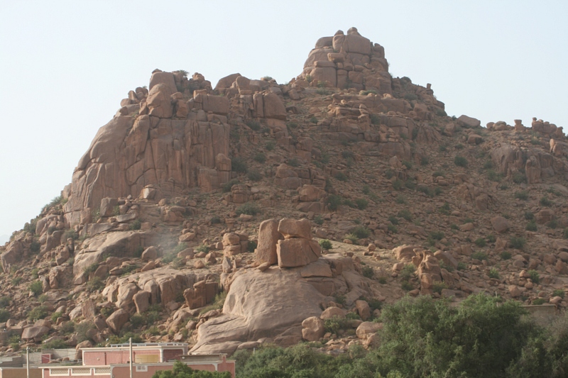
Anti Atlas 6
Exploring the Ameln Valley on MTB - Road to Tagdicht
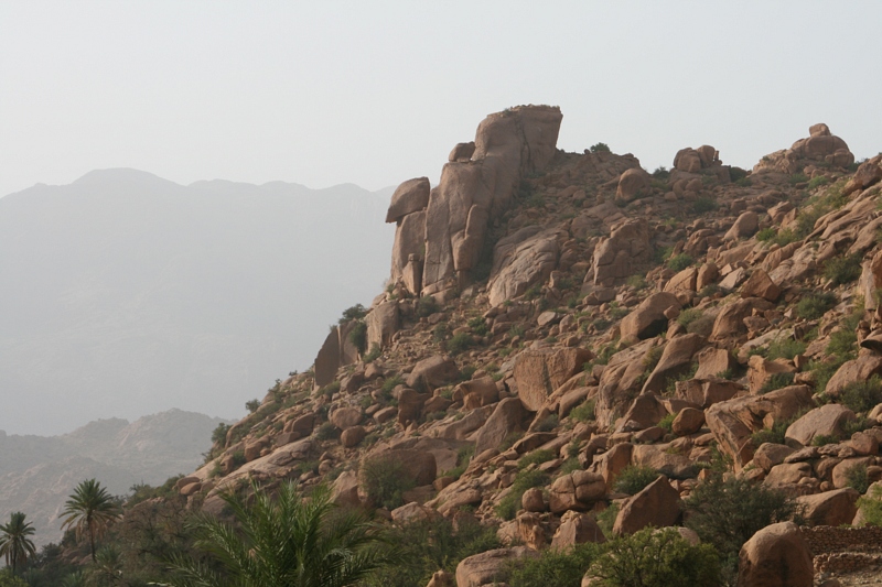
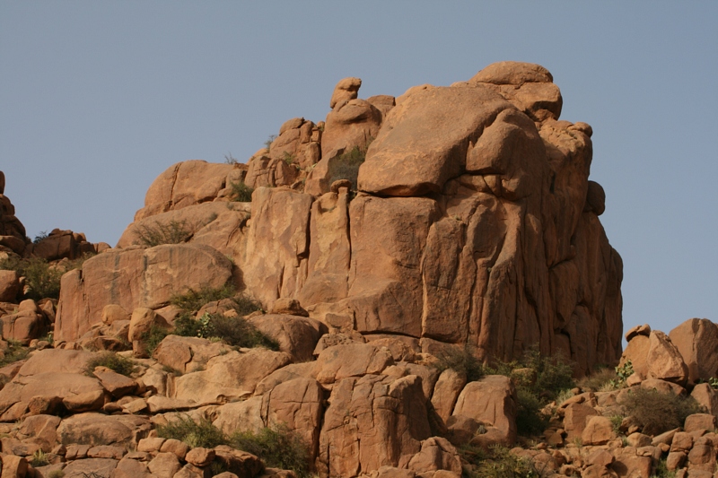
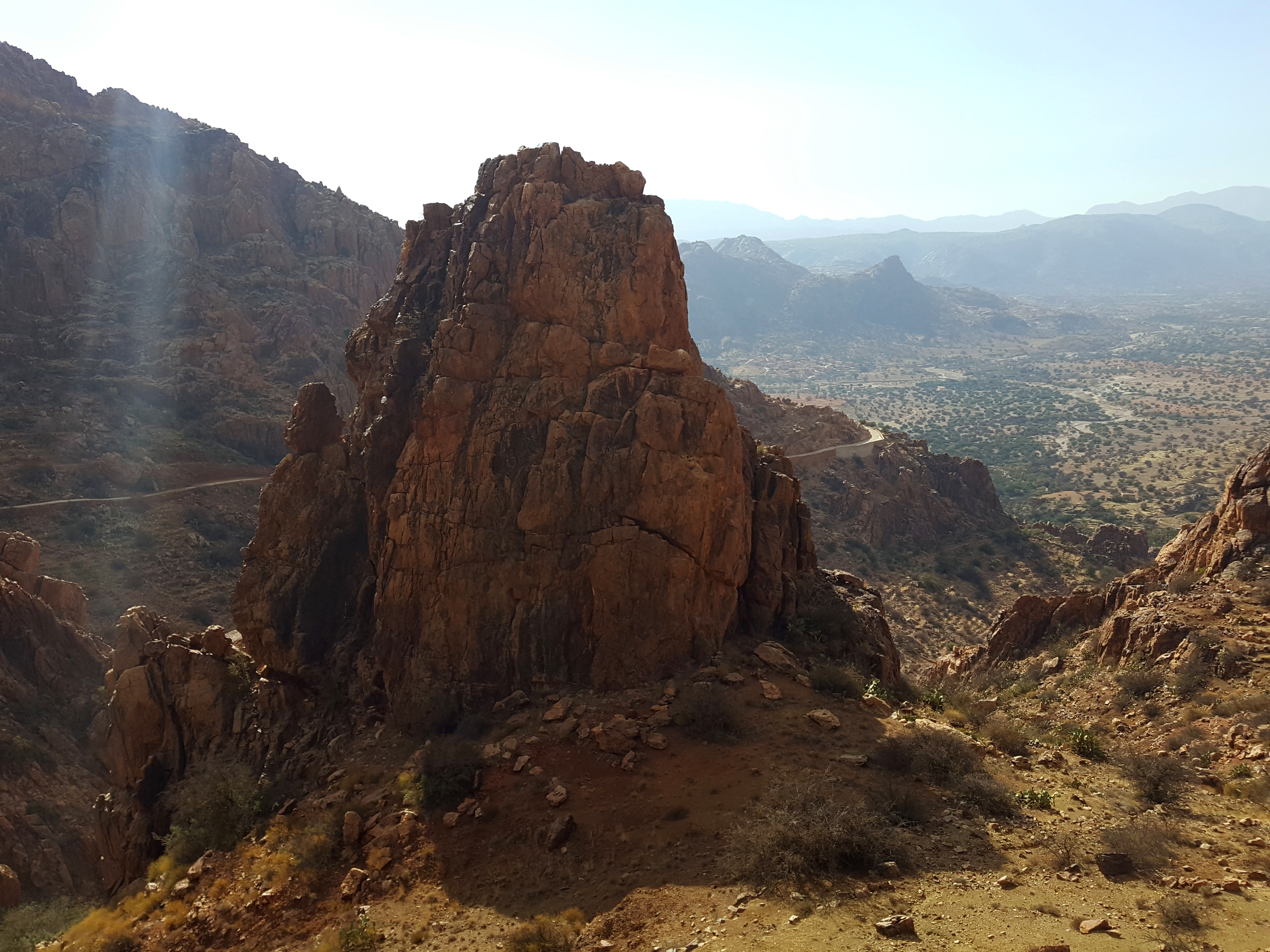
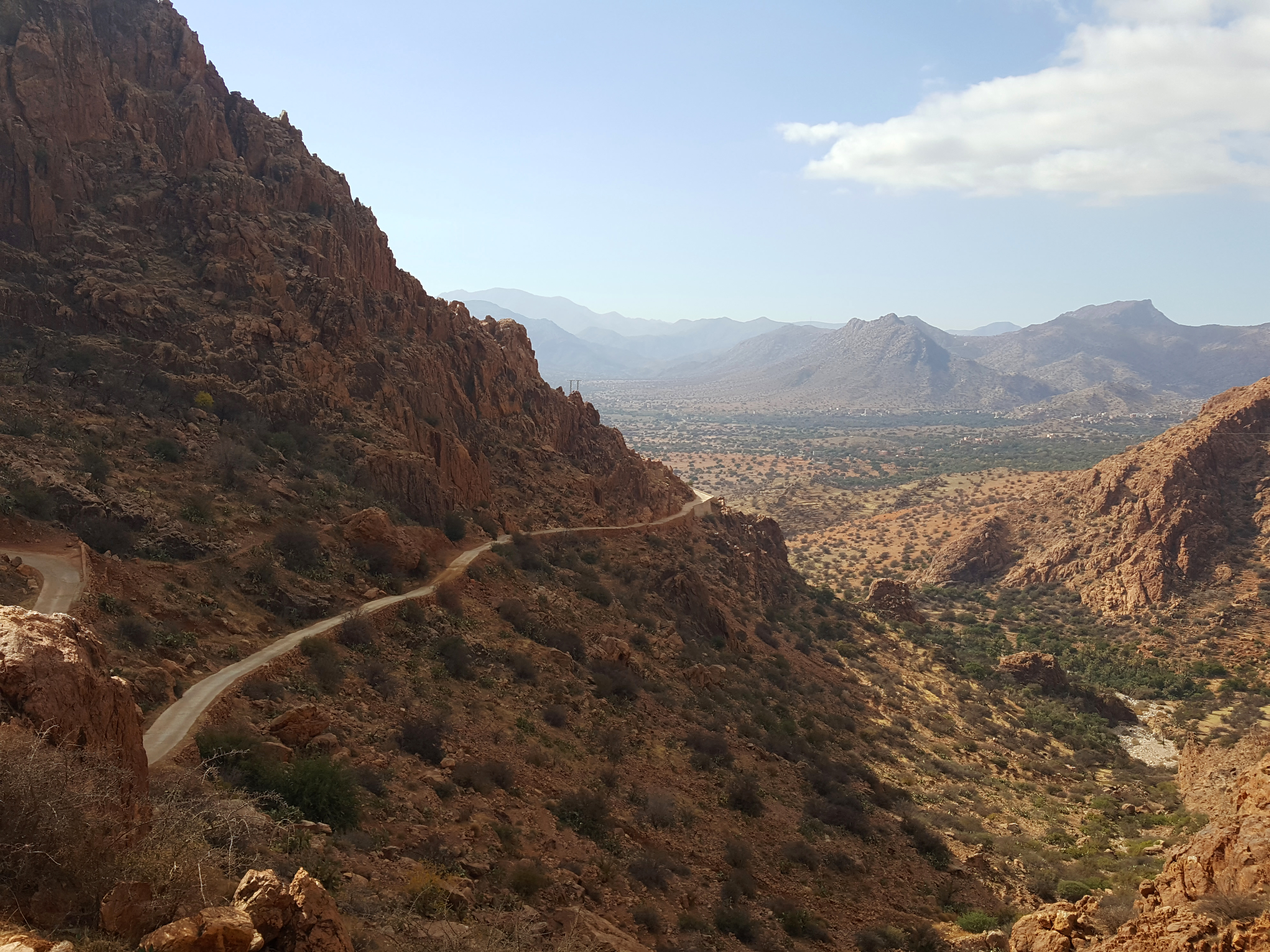
Jebel el Kest
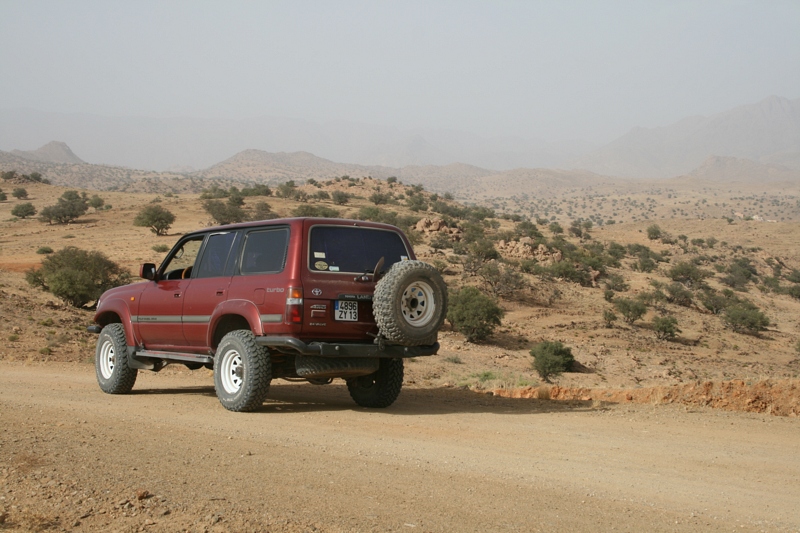
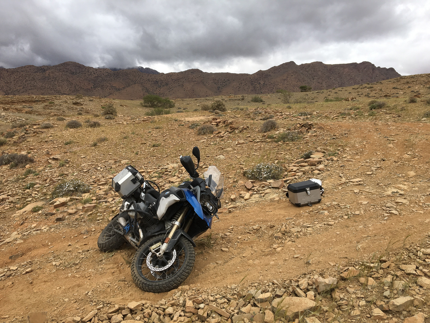
Anti Atlas #offroad #africa #Marocco #adventure
DSC_0092 - 2012-03-09 at 16-22-22
Tafraout décembre 2018 (63 sur 118)
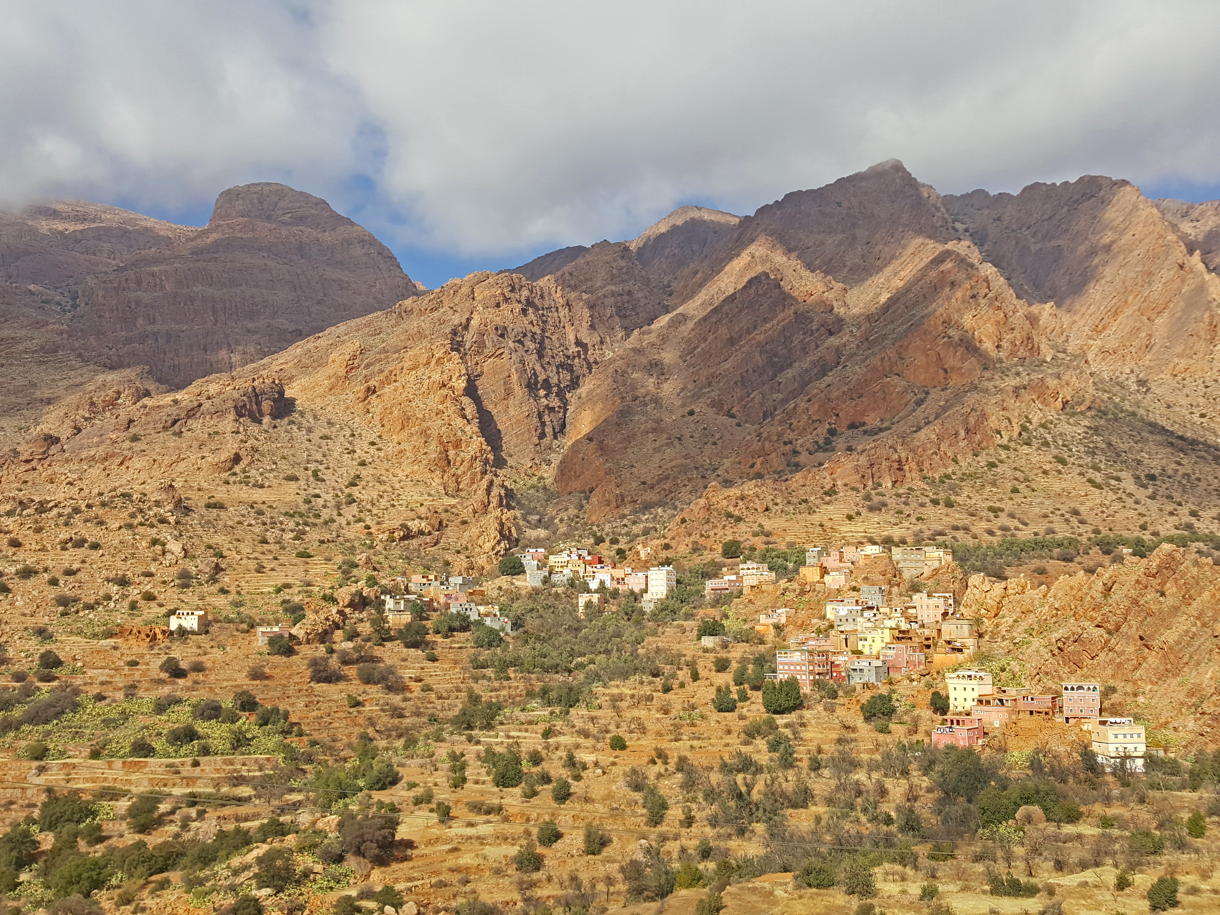
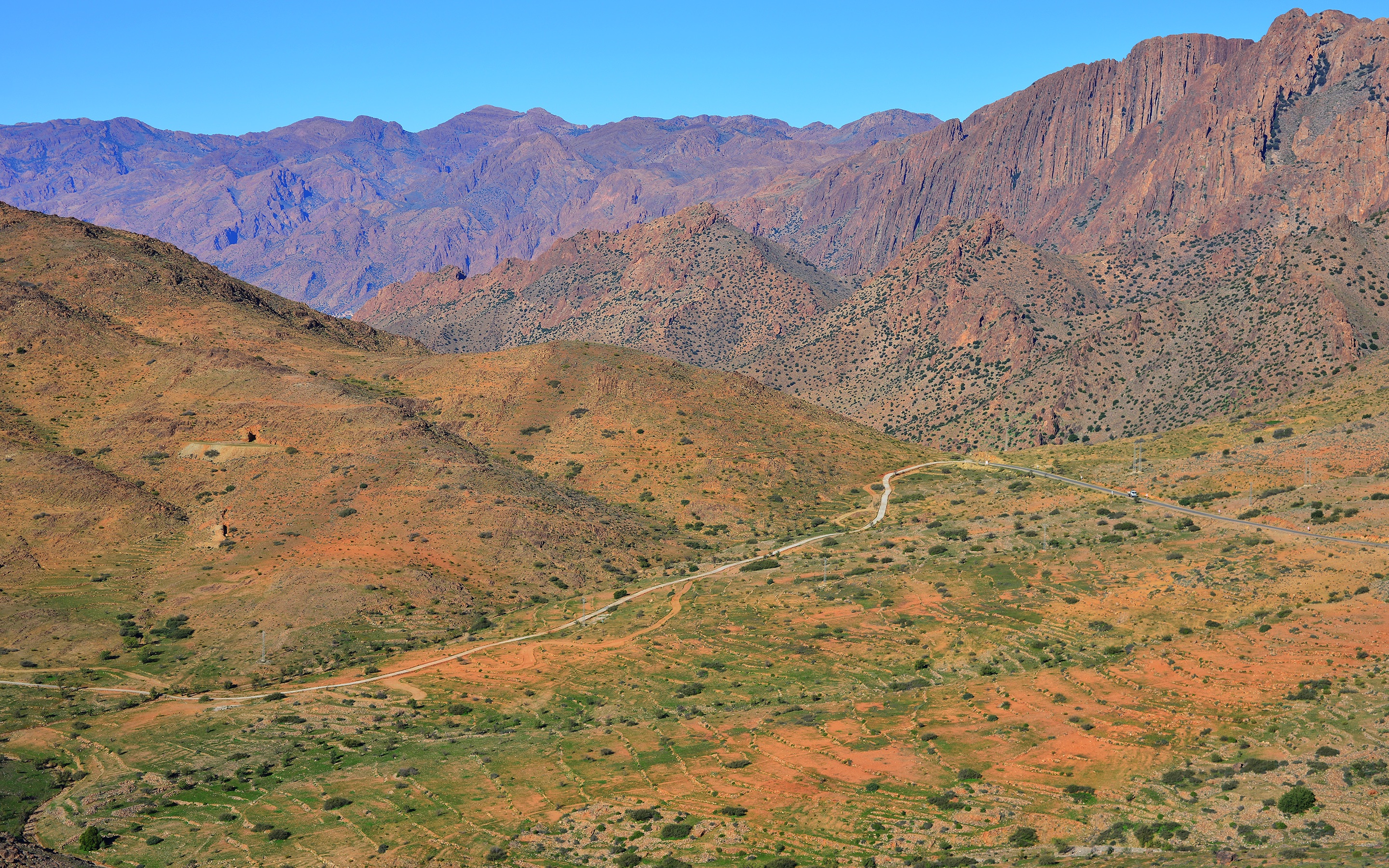
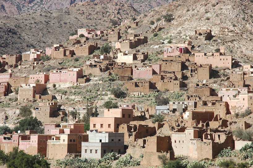
Ameln Valley
MTB ride to Tifghalt and Idikl
MTB ride to Tililan
MOROCCO-645
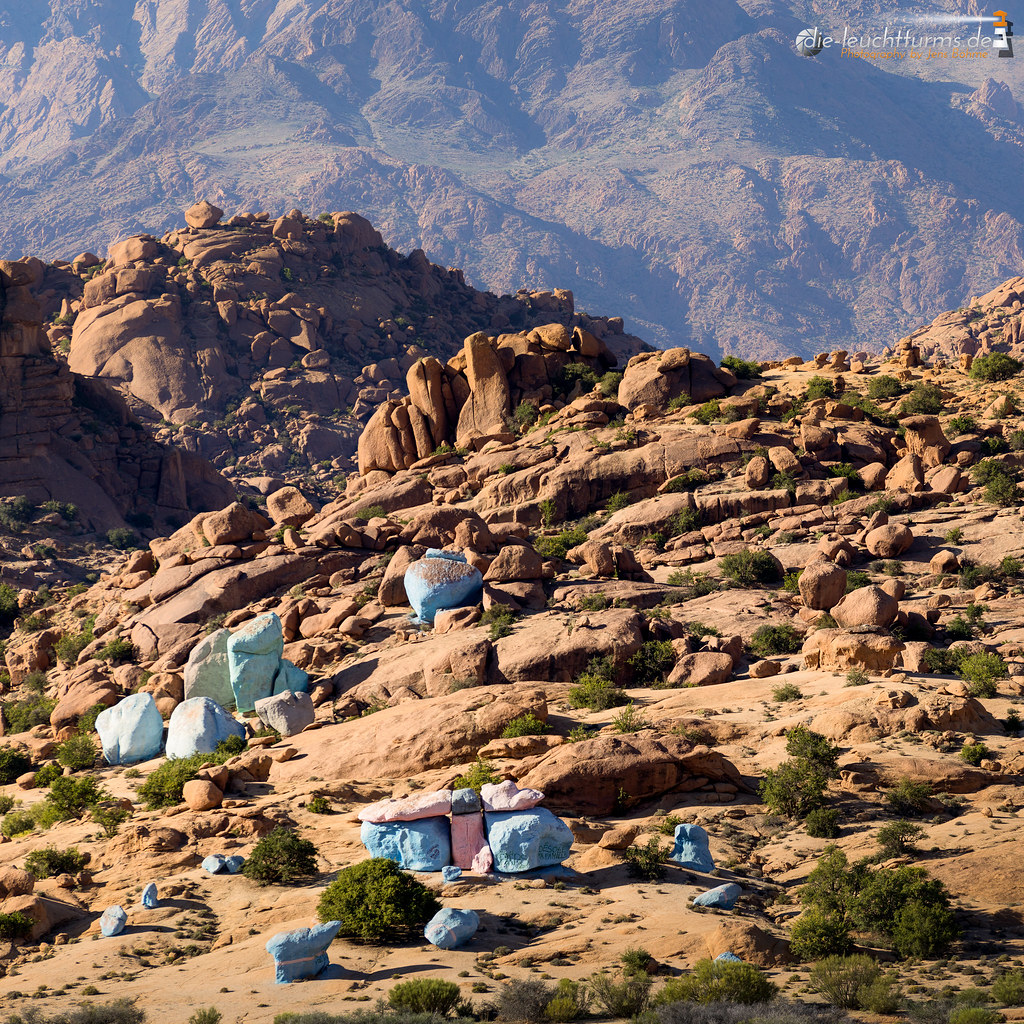
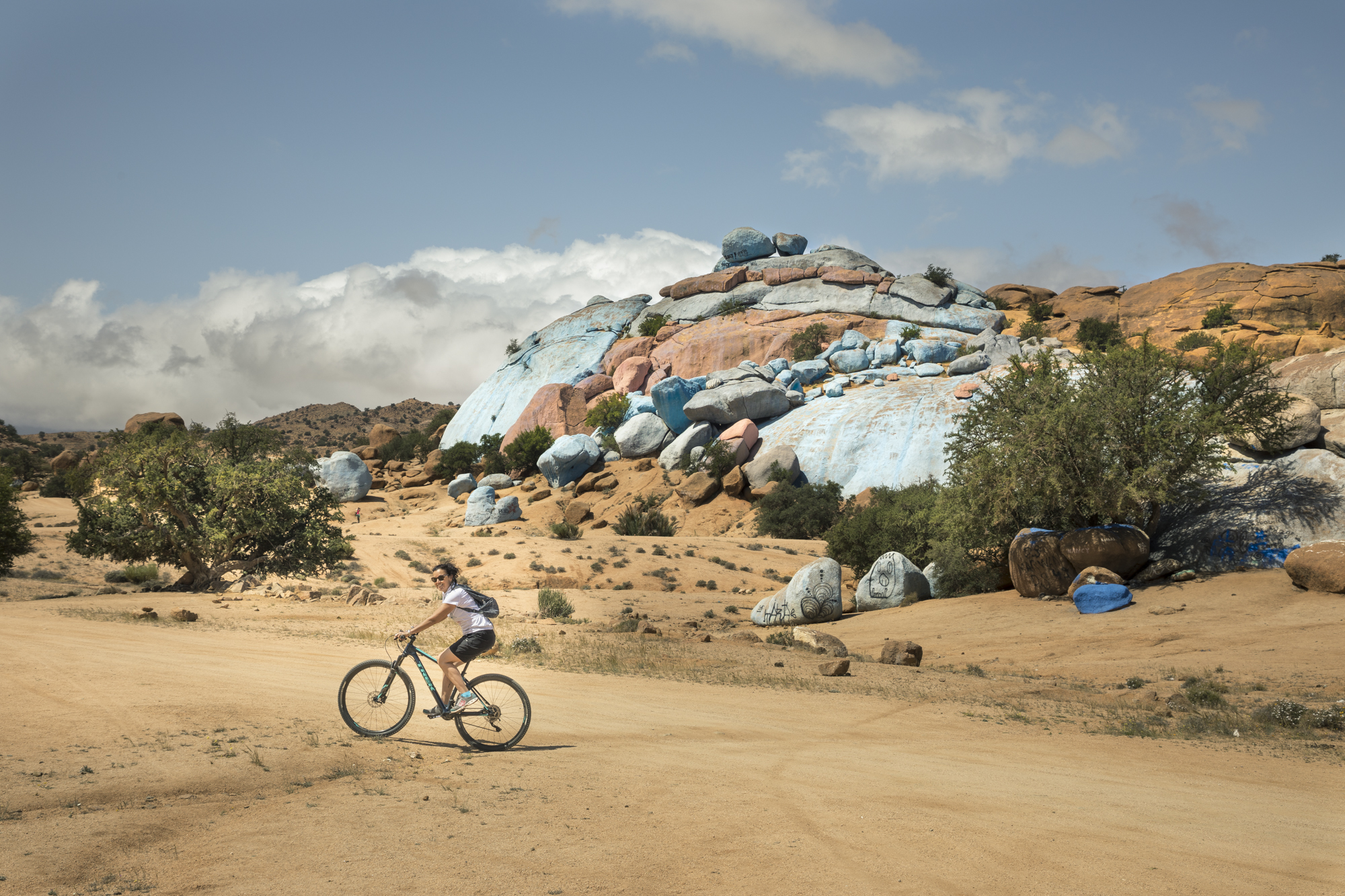
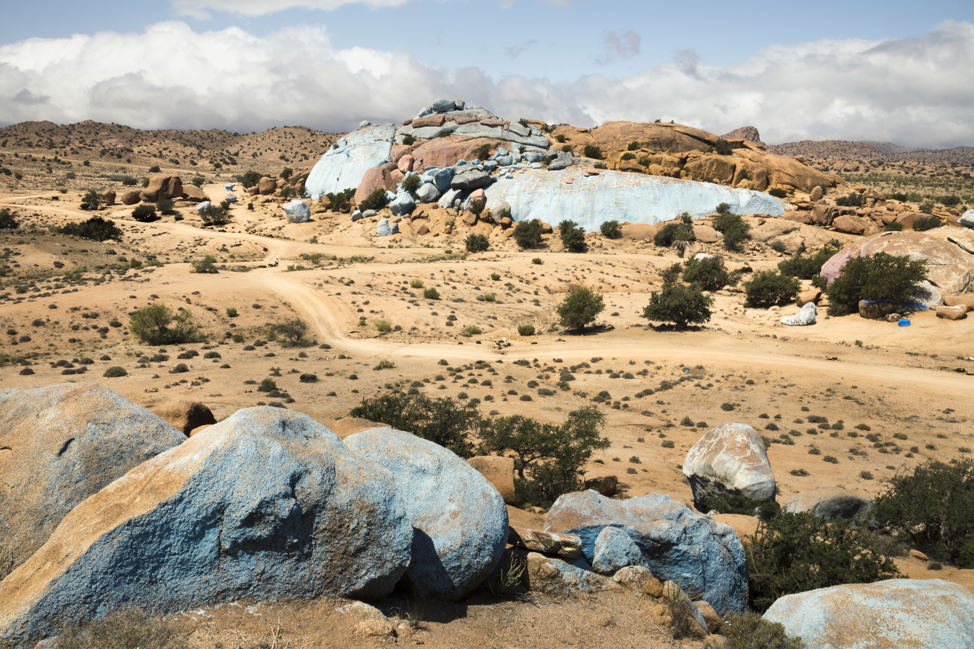
Colored stones
Exploring the Ameln Valley on MTB
MTB ride to Tililan
MOROCCO-637
MOROCCO-646
Topographic Map of Tafraoute, Morocco
Find elevation by address:

Places near Tafraoute, Morocco:
Chtouka Ait Baha Province
Tiznit Province
Ait Amira
Ait Hammou
Agadir Al-massira International Airport
Inzegane-ait Melloul
Tiznit
Lqliâa
Taroudant
Temsia
Tifnit
Drargua Lgouira
Drarga
Dcheira El Jihadia
Cité Tilila
Ecole Polytechnique D'agadir
Lti Agadir Beach Club
Agadir
Agadir-ida-ou Tanane Province
Awrir
Recent Searches:
- Elevation of S Layton Cir W, Layton, UT, USA
- Elevation of F36W+3M, Mussoorie, Uttarakhand, India
- Elevation of Fairland Ave, Fairhope, AL, USA
- Elevation of Sunset Dr, Richmond, VA, USA
- Elevation of Grodna District, Hrodna Region, Belarus
- Elevation of Hrodna, Hrodna Region, Belarus
- Elevation of Sandia Derby Estates, Tijeras, NM, USA
- Elevation of 23 Sunrise View Ct, Tijeras, NM, USA
- Elevation of Lytham Ln, Katy, TX, USA
- Elevation of Tater Hill, Oklahoma, USA