Elevation of Tafea Province, Vanuatu
Location: Vanuatu >
Longitude: 169.064505
Latitude: -18.723782
Elevation: 559m / 1834feet
Barometric Pressure: 95KPa
Elevation Map:
Satellite Map:
Related Photos:
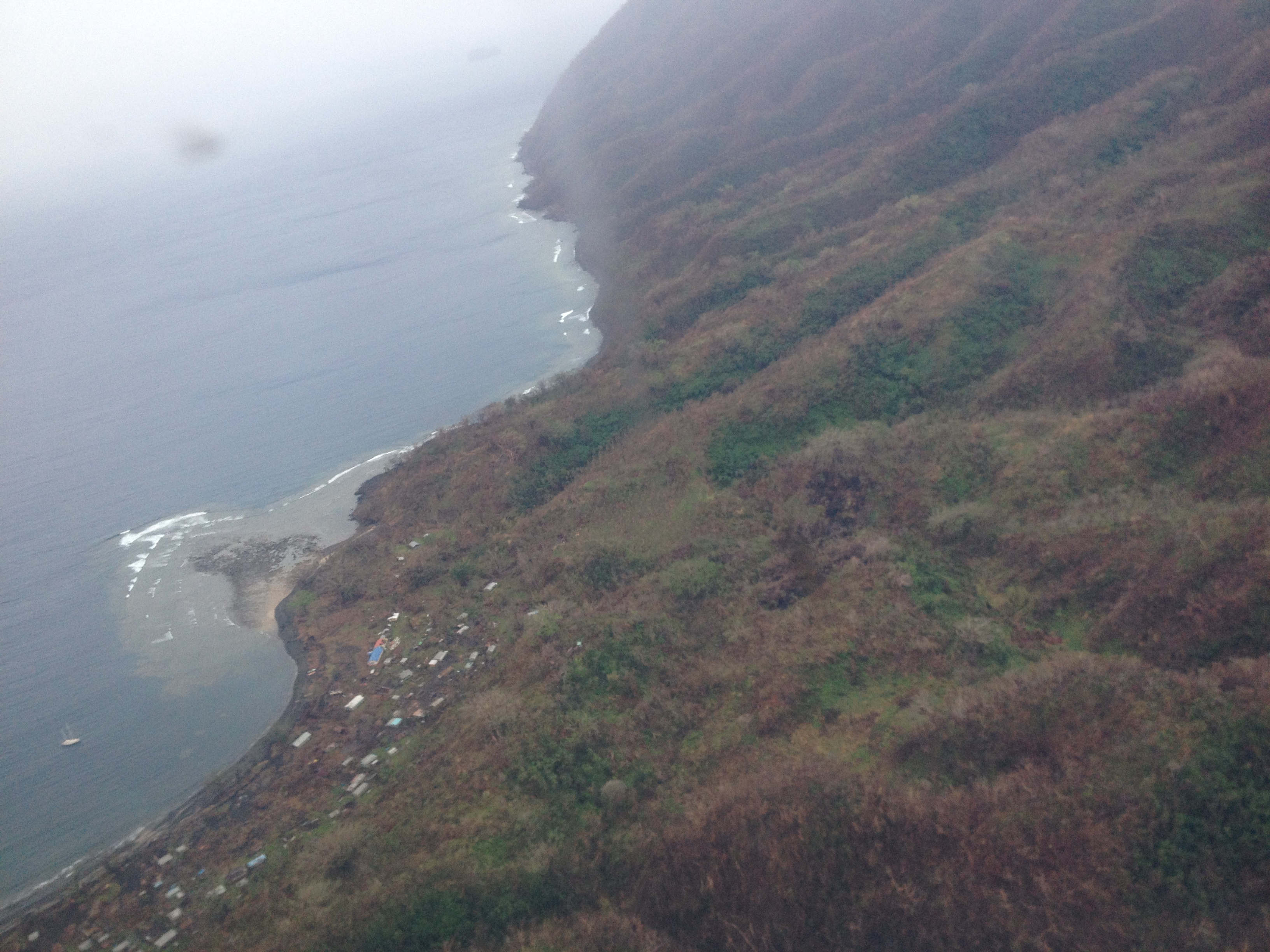
UNDP’s Response to Cyclone Pam - Vanuatu
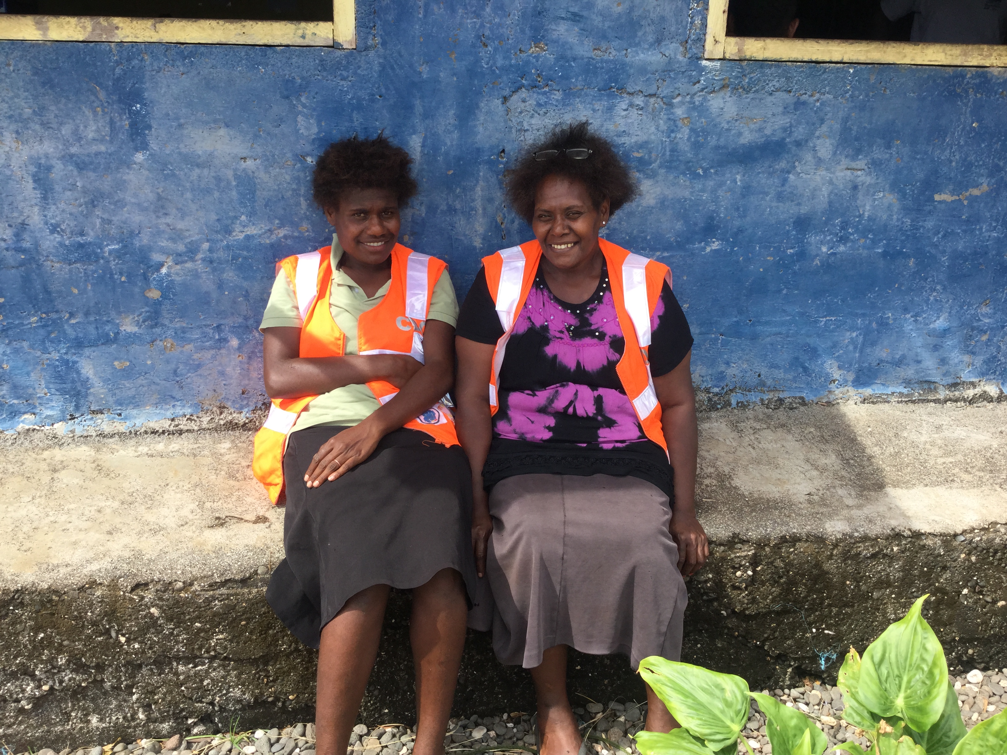
UNDP’s Response to Cyclone Pam - Vanuatu

UNDP’s Response to Cyclone Pam - Vanuatu

UNDP’s Response to Cyclone Pam - Vanuatu
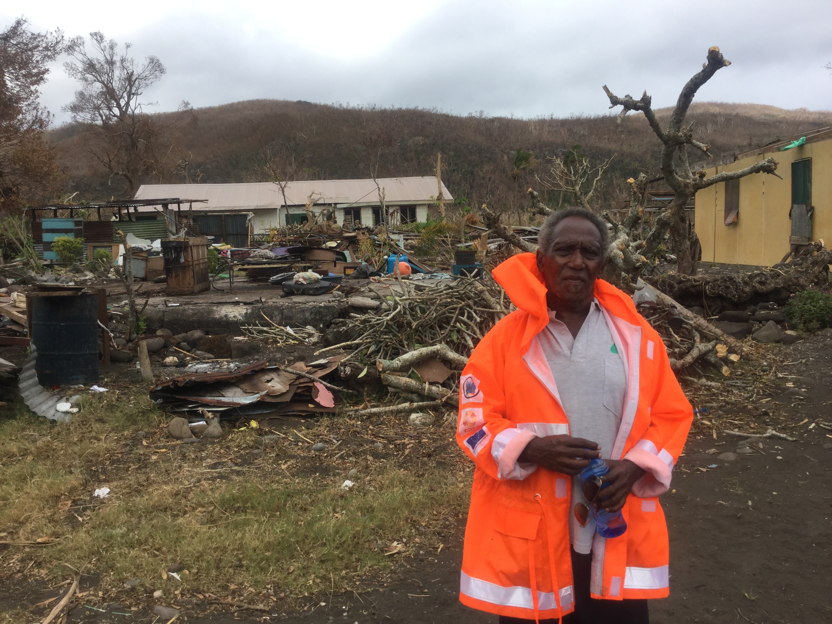
UNDP’s Response to Cyclone Pam - Vanuatu
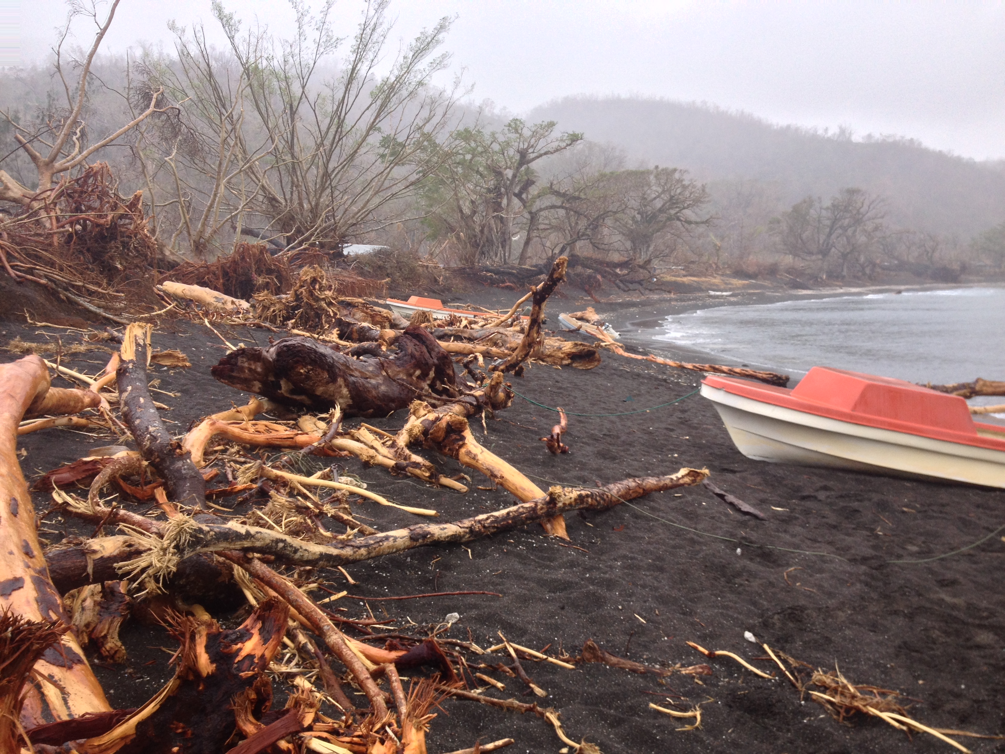
UNDP’s Response to Cyclone Pam - Vanuatu
Topographic Map of Tafea Province, Vanuatu
Find elevation by address:

Places in Tafea Province, Vanuatu:
Places near Tafea Province, Vanuatu:
Recent Searches:
- Elevation of Luther Road, Luther Rd, Auburn, CA, USA
- Elevation of Unnamed Road, Respublika Severnaya Osetiya — Alaniya, Russia
- Elevation of Verkhny Fiagdon, North Ossetia–Alania Republic, Russia
- Elevation of F. Viola Hiway, San Rafael, Bulacan, Philippines
- Elevation of Herbage Dr, Gulfport, MS, USA
- Elevation of Lilac Cir, Haldimand, ON N3W 2G9, Canada
- Elevation of Harrod Branch Road, Harrod Branch Rd, Kentucky, USA
- Elevation of Wyndham Grand Barbados Sam Lords Castle All Inclusive Resort, End of Belair Road, Long Bay, Bridgetown Barbados
- Elevation of Iga Trl, Maggie Valley, NC, USA
- Elevation of N Co Rd 31D, Loveland, CO, USA