Elevation of Tadwai, Telangana, India
Location: India > Telangana > Nizamabad >
Longitude: 78.254734
Latitude: 18.3107739
Elevation: 595m / 1952feet
Barometric Pressure: 94KPa
Elevation Map:
Satellite Map:
Related Photos:
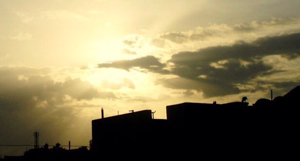
Sun Set
2009-04-02 WLMM Bainbridge Adventure 003
Topographic Map of Tadwai, Telangana, India
Find elevation by address:

Places near Tadwai, Telangana, India:
Kamareddy
Karadpalli
Sadashiva Nagar
Gandhari
Dichpally
Nizamabad
Dubbaka Bus Stand
Dubbaka
Banswada
Nizamabad
Jakranpally
Velpoor
Armoor
Morthad
Rudrangi
Bichkunda
Balkonda
Nandipet
Kammarpally
Kathlapoor
Recent Searches:
- Elevation of Općina Šodolovci, Croatia
- Elevation of Šodolovci, Croatia
- Elevation of Old Clairton Rd, Jefferson Hills, PA, USA
- Elevation of st Ave SE, Lisbon, ND, USA
- Elevation of Steamboat Island Road Northwest, Olympia, WA, USA
- Elevation of Kootenai Trail Rd, Bonners Ferry, ID, USA
- Elevation of Hickory Blvd, Bonita Springs, FL, USA
- Elevation of Lalagbene, Bayelsa, Nigeria
- Elevation of Ogbosuware Health Centre, 2WWJ+4PJ, Lalagbene, Bayelsa, Nigeria
- Elevation of Duckhorn Ct, Las Vegas, NV, USA