Elevation of Tacuarembo, Tacuarembó Department, Uruguay
Location: Uruguay > Tacuarembó Department >
Longitude: -55.985988
Latitude: -31.720683
Elevation: 141m / 463feet
Barometric Pressure: 100KPa
Elevation Map:
Satellite Map:
Related Photos:

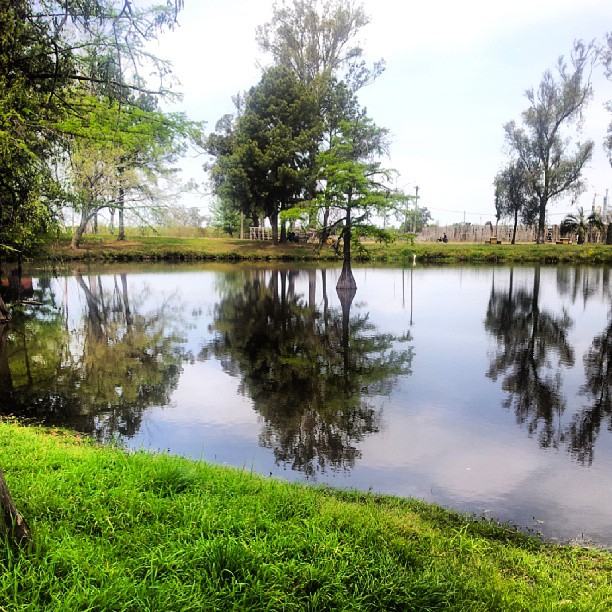
Tarde en la Rambla

galeria la fé

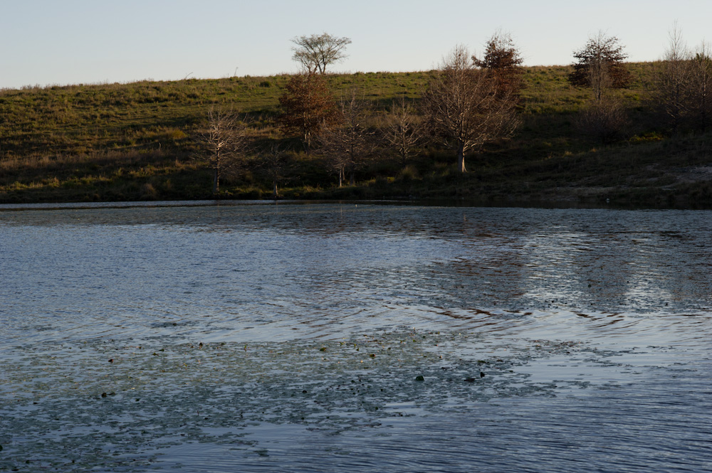
camino al campo

Twice Landscape

2011-03-05_218 Tacuarembó - Fiesta de la Patria Gaucha
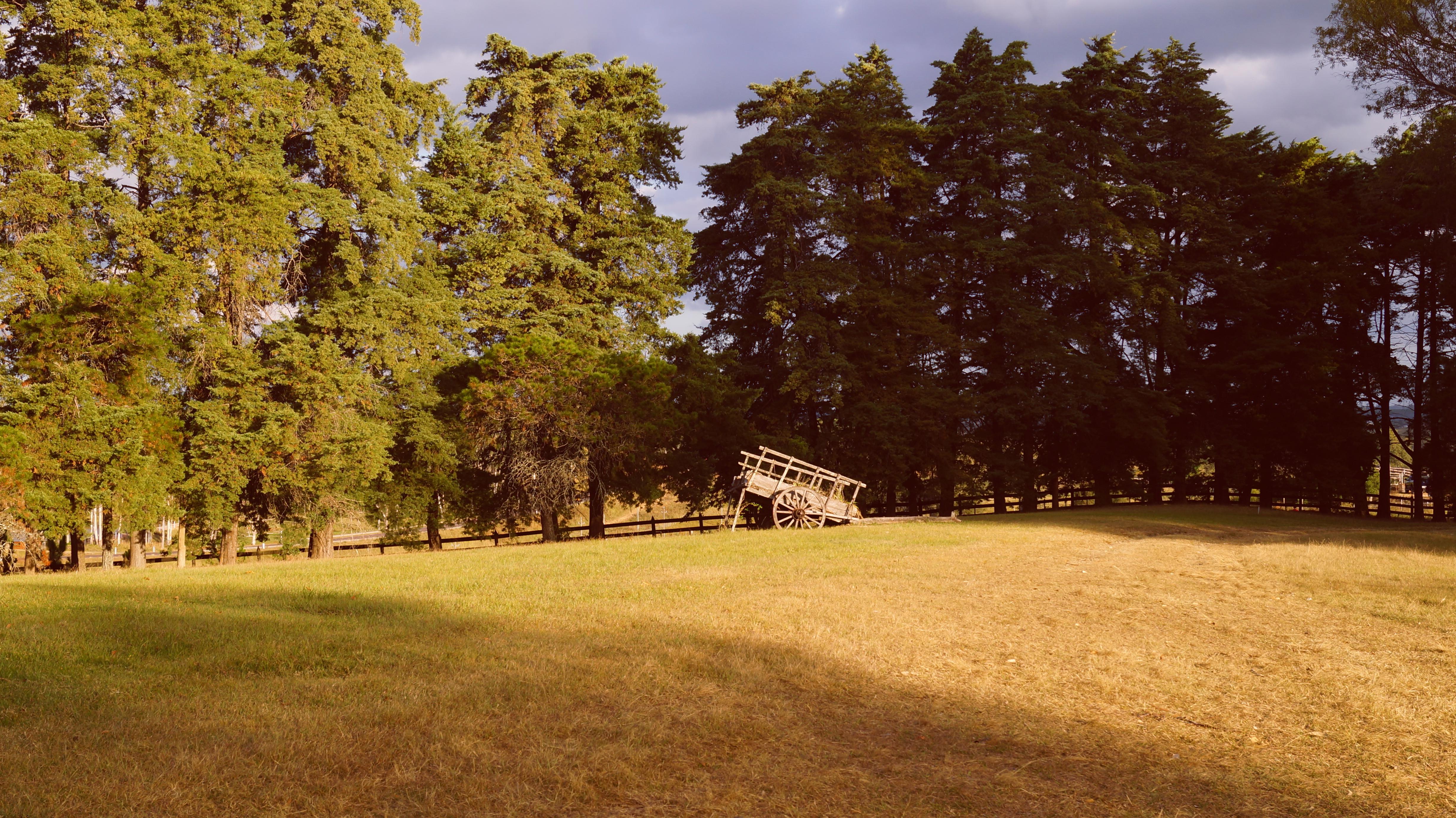
Campamento, Tacuarembo
_DSC2096.jpg
Valle Edén
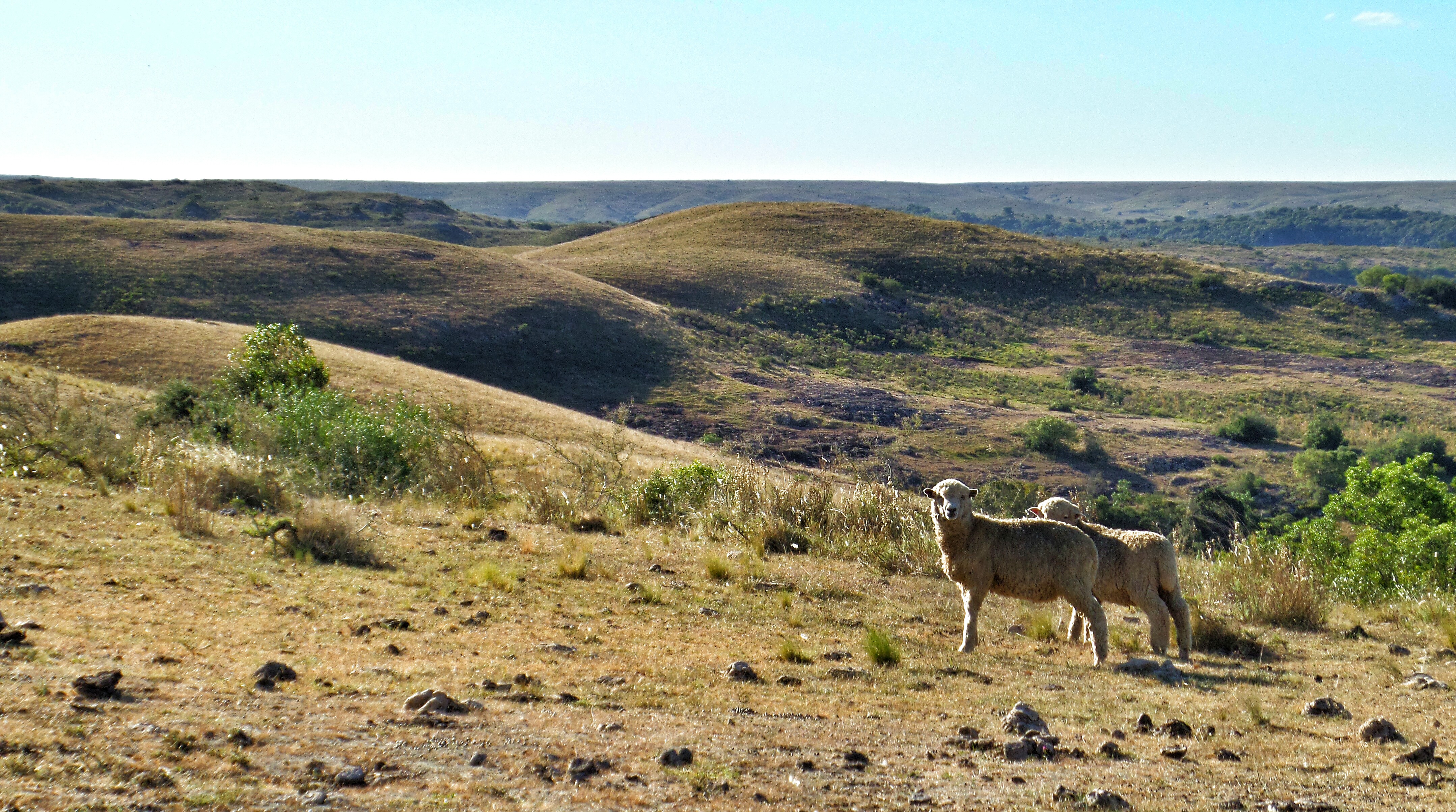
En algún lugar de Tacuarembó

Balneario Iporá al Atardecer
Topographic Map of Tacuarembo, Tacuarembó Department, Uruguay
Find elevation by address:

Places near Tacuarembo, Tacuarembó Department, Uruguay:
Recent Searches:
- Elevation of Woodland Oak Pl, Thousand Oaks, CA, USA
- Elevation of Brownsdale Rd, Renfrew, PA, USA
- Elevation of Corcoran Ln, Suffolk, VA, USA
- Elevation of Mamala II, Sariaya, Quezon, Philippines
- Elevation of Sarangdanda, Nepal
- Elevation of 7 Waterfall Way, Tomball, TX, USA
- Elevation of SW 57th Ave, Portland, OR, USA
- Elevation of Crocker Dr, Vacaville, CA, USA
- Elevation of Pu Ngaol Community Meeting Hall, HWHM+3X7, Krong Saen Monourom, Cambodia
- Elevation of Royal Ontario Museum, Queens Park, Toronto, ON M5S 2C6, Canada