Elevation of Tête de Vautisse, Champcella, France
Location: France > Provence-alpes-côte D'azur > Hautes-alpes > Champcella >
Longitude: 6.485233
Latitude: 44.700995
Elevation: 3071m / 10075feet
Barometric Pressure: 69KPa
Elevation Map:
Satellite Map:
Related Photos:

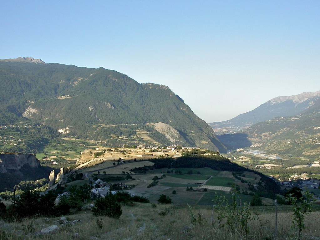
Brins de lumière
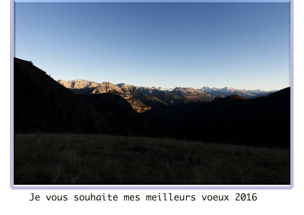
mes voeux

The Hidden waterfall

Dormillouse Village

in the shadow of the mountains

View from Puy-Saint-Vincent 1600m Station
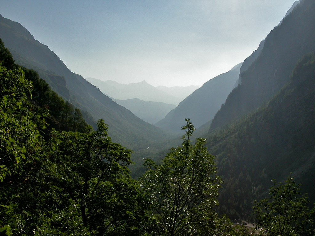
French Alps - glacial valley
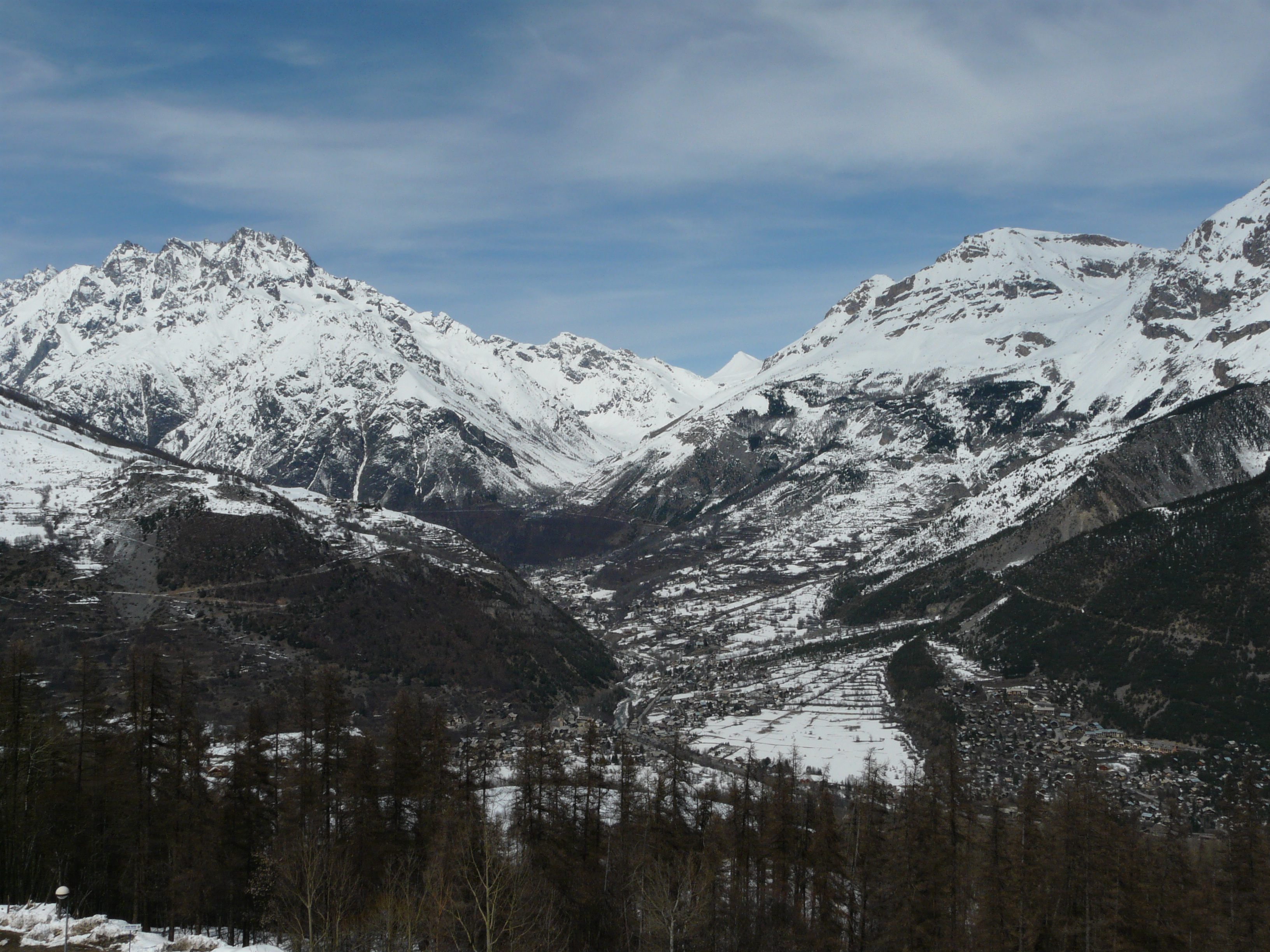
View from Puy-Saint-Vincent 1600m Station

View from Puy-Saint-Vincent 1600m Station

Morning view on Vauban´s Mont Dauphin

Day 1 (c): View of Pointe de Verdonne

Durancetal bei Mont-Dauphin
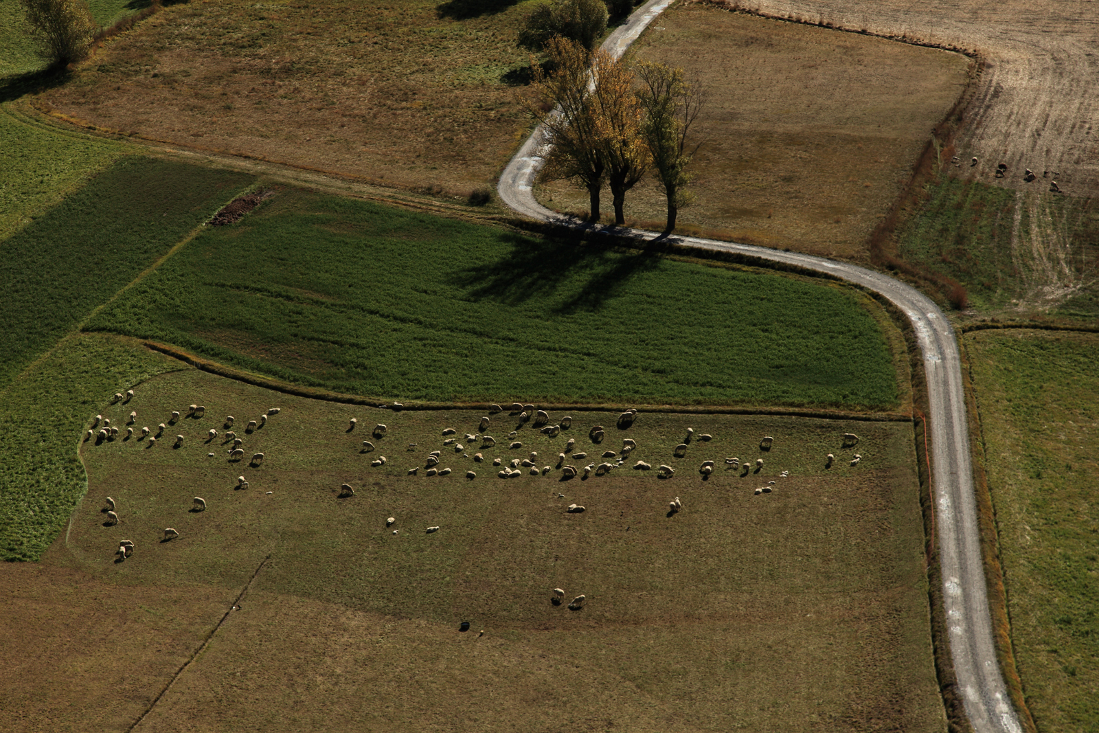
counting sheep
Mont Dauphin - morning view

Col de La Pousterle

View of the Alps from Embrun
Topographic Map of Tête de Vautisse, Champcella, France
Find elevation by address:

Places near Tête de Vautisse, Champcella, France:
Tête De Couleau
Petit Pinier
Tête De L'hivernet
Champcella
Châteauroux-les-alpes
Pic De Pied Brun
Crête De La Pendine
L'argentière-la-bessée
Pointe De Serre
Puy-saint-vincent
Pointe Oueste De Neyzets
Embrun
Pointes De Rougnoux
Vallouise
Eygliers
Sommet De Prelles
Risoul
Réallon
Orcières
Pointe De Clapouse
Recent Searches:
- Elevation of Corso Fratelli Cairoli, 35, Macerata MC, Italy
- Elevation of Tallevast Rd, Sarasota, FL, USA
- Elevation of 4th St E, Sonoma, CA, USA
- Elevation of Black Hollow Rd, Pennsdale, PA, USA
- Elevation of Oakland Ave, Williamsport, PA, USA
- Elevation of Pedrógão Grande, Portugal
- Elevation of Klee Dr, Martinsburg, WV, USA
- Elevation of Via Roma, Pieranica CR, Italy
- Elevation of Tavkvetili Mountain, Georgia
- Elevation of Hartfords Bluff Cir, Mt Pleasant, SC, USA