Elevation of Tápiószecső, Madách u. 27, Hungary
Location: Hungary > Tápiószecső >
Longitude: 19.569146
Latitude: 47.4533595
Elevation: 142m / 466feet
Barometric Pressure: 100KPa
Elevation Map:
Satellite Map:
Related Photos:
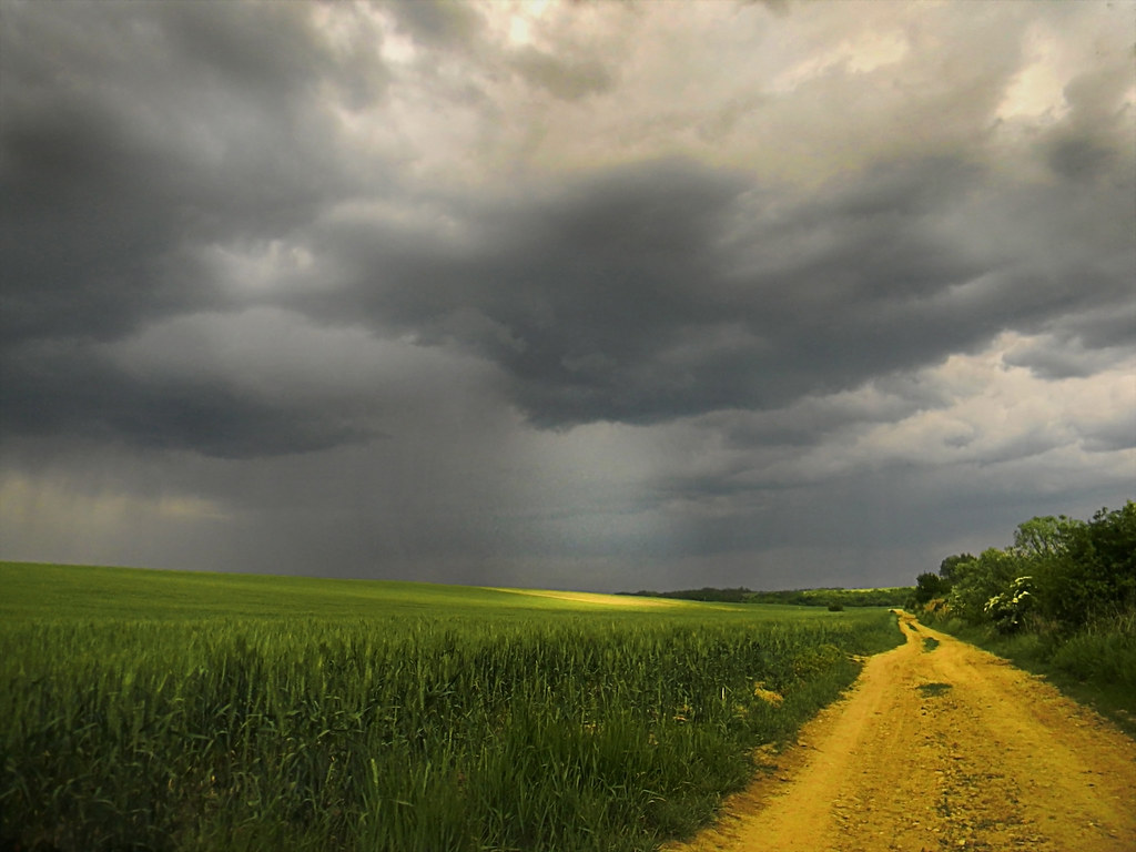
Dirt road and wheat field

Felső-Tápió

Manual classics playing

Felhők ívben

Sunset reflections

Felső-Tápió

Hasadás

Úri tó

Lens flare :-)

Vihar előtt

Naplemente III.

For so many different directions...

Cimbál rét

fishing pond

Industar 61 2.8/53

Caspeco 3.5/135

No. 38643

Tápióság naplemente

Industar 61 2.8/53

Industar 61 2.8/53

Budapest, Hungary - Széchenyi Lánchíd, Parlament and Danube from Buda Castle
Topographic Map of Tápiószecső, Madách u. 27, Hungary
Find elevation by address:

Places near Tápiószecső, Madách u. 27, Hungary:
Madách Street
Tápiószecső
Pest County
Unnamed Road
Gödöllői
Petőfi Sándor Street
Aszód
Pécel
Üllő
Hatvan
Hatvan, Hősmagyar u. 19, Hungary
Pányva Street
Hungary
Szada, Dózsa György út 86, Hungary
Szada
Budapest Airport
Ferihegy
Eötvös U. 27
Hungaroring
Ócsa, Epreskert u. 54, Hungary
Recent Searches:
- Elevation of Sattva Horizon, 4JC6+G9P, Vinayak Nagar, Kattigenahalli, Bengaluru, Karnataka, India
- Elevation of Great Brook Sports, Gold Star Hwy, Groton, CT, USA
- Elevation of 10 Mountain Laurels Dr, Nashua, NH, USA
- Elevation of 16 Gilboa Ln, Nashua, NH, USA
- Elevation of Laurel Rd, Townsend, TN, USA
- Elevation of 3 Nestling Wood Dr, Long Valley, NJ, USA
- Elevation of Ilungu, Tanzania
- Elevation of Yellow Springs Road, Yellow Springs Rd, Chester Springs, PA, USA
- Elevation of Rēzekne Municipality, Latvia
- Elevation of Plikpūrmaļi, Vērēmi Parish, Rēzekne Municipality, LV-, Latvia