Elevation of Tōbai, Nemuro-shi, Hokkaidō -, Japan
Location: Japan > Hokkaido Prefecture > Nemuro >
Longitude: 145.475422
Latitude: 43.2635722
Elevation: 27m / 89feet
Barometric Pressure: 101KPa
Elevation Map:
Satellite Map:
Related Photos:

DSC00348
花咲線車窓から
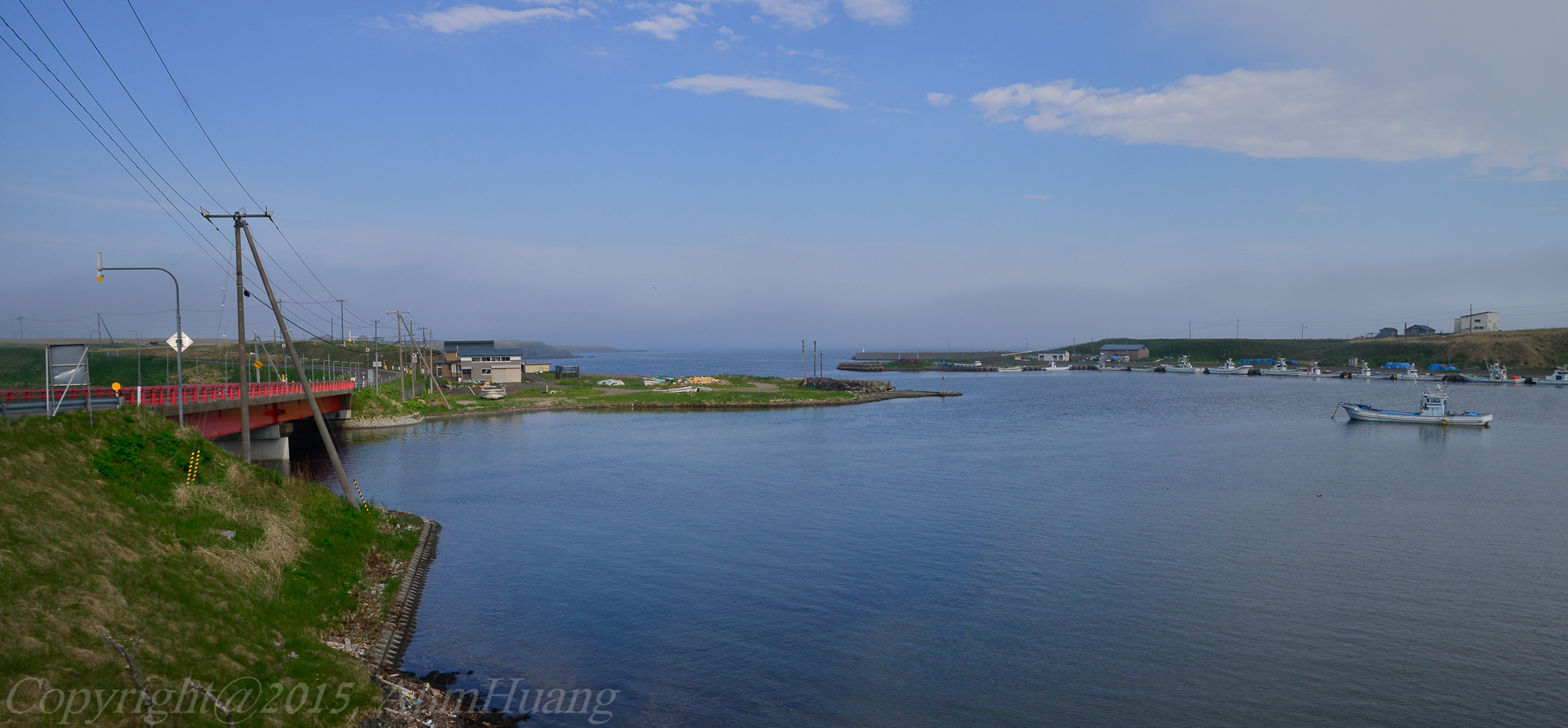
根室市落石方面

My Romance
根室市花咲駅周辺

根室本線車窓 落石のあたり
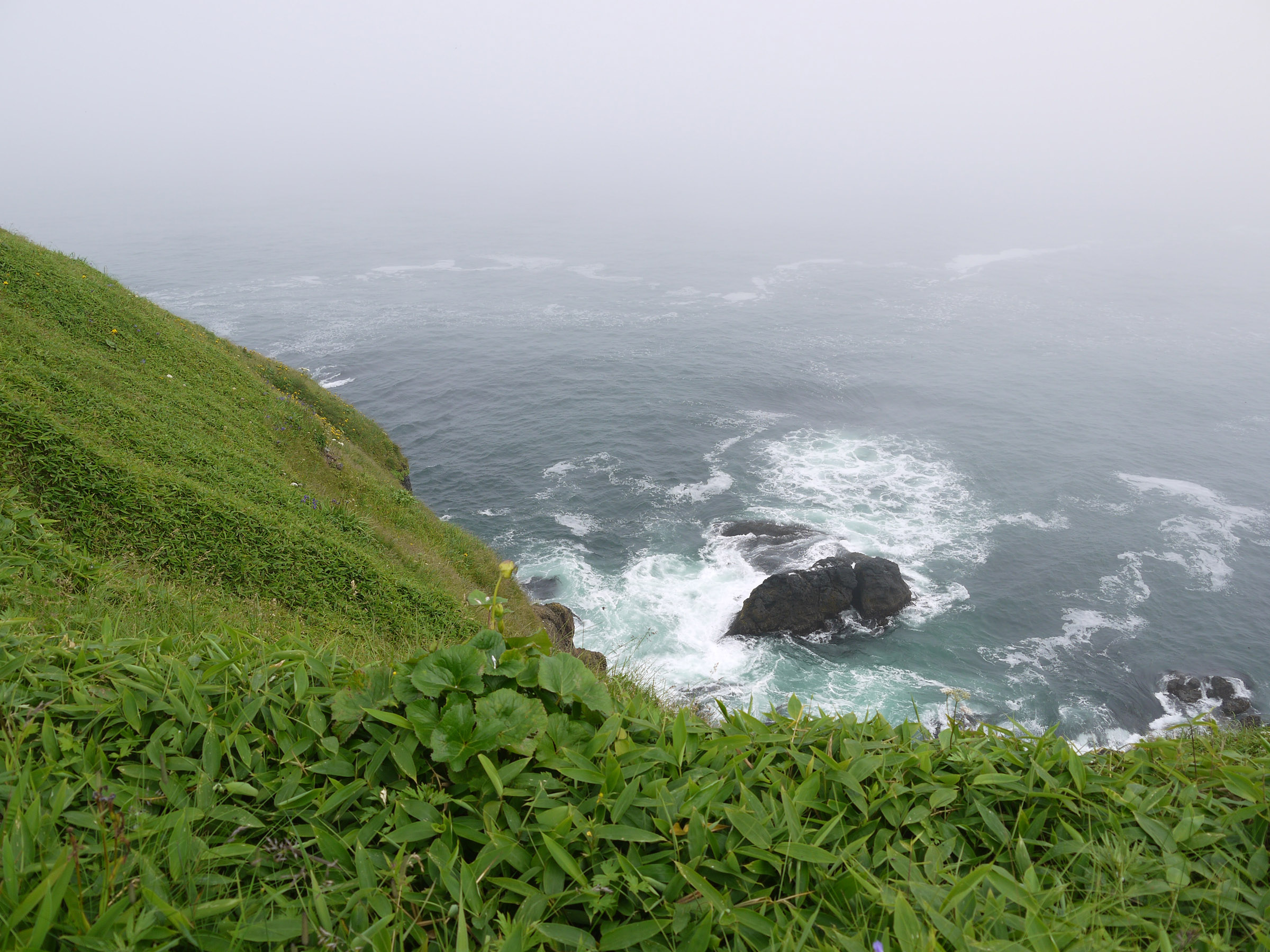
車石からの風景
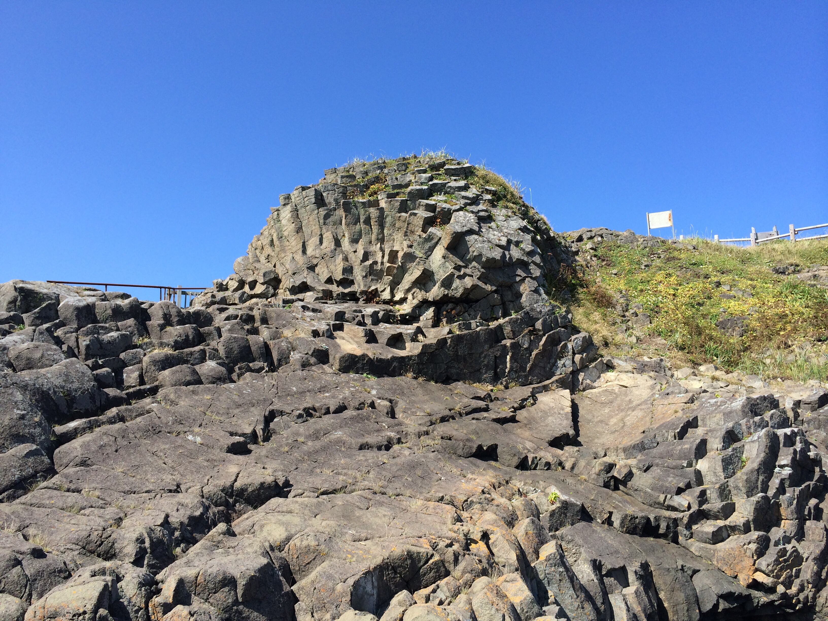
車石

風蓮湖
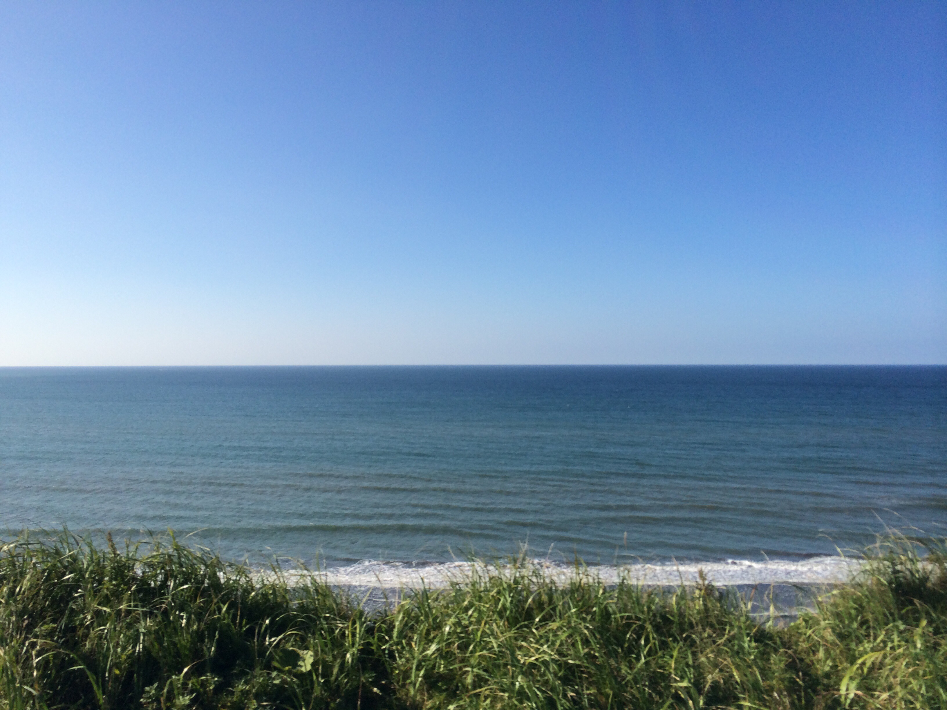
太平洋
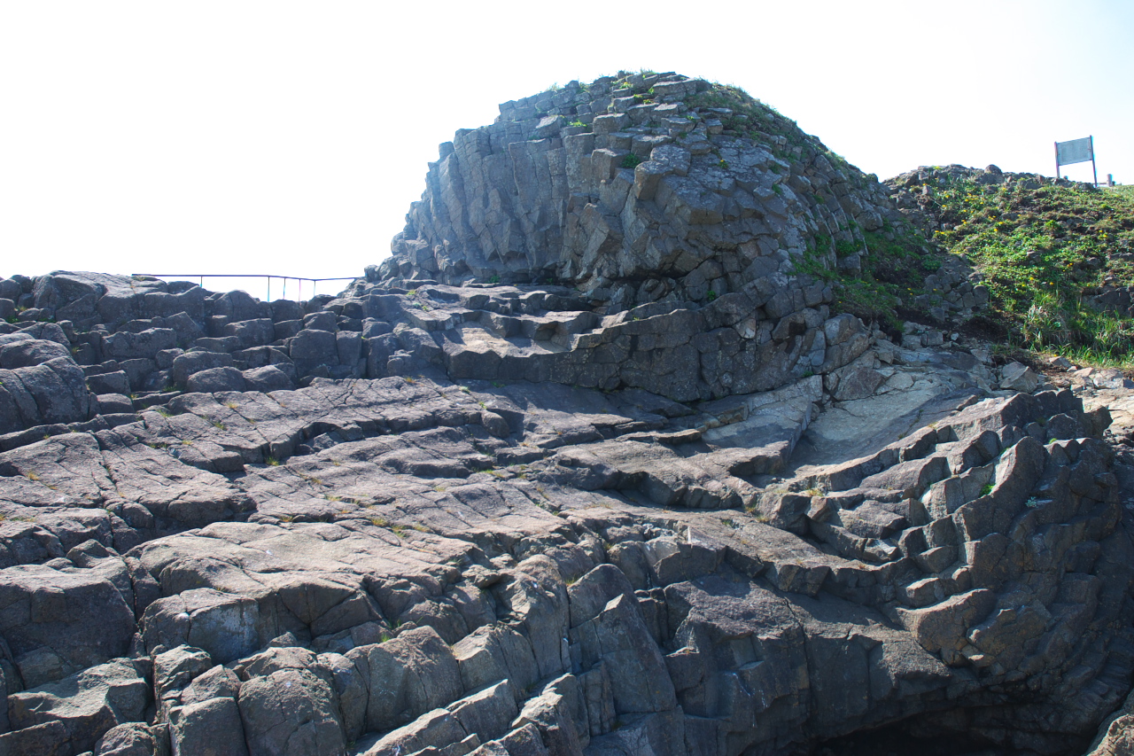
Wheel stone (Hanasaki cape) / 車石(花咲岬)
Ochiishi Misaki lighthouse
IMAGE_181.jpeg
一気に街か現れた

Nemuro Kurumaishi near by Hanasaki lighthouse
花咲線車窓から
花咲線車窓から
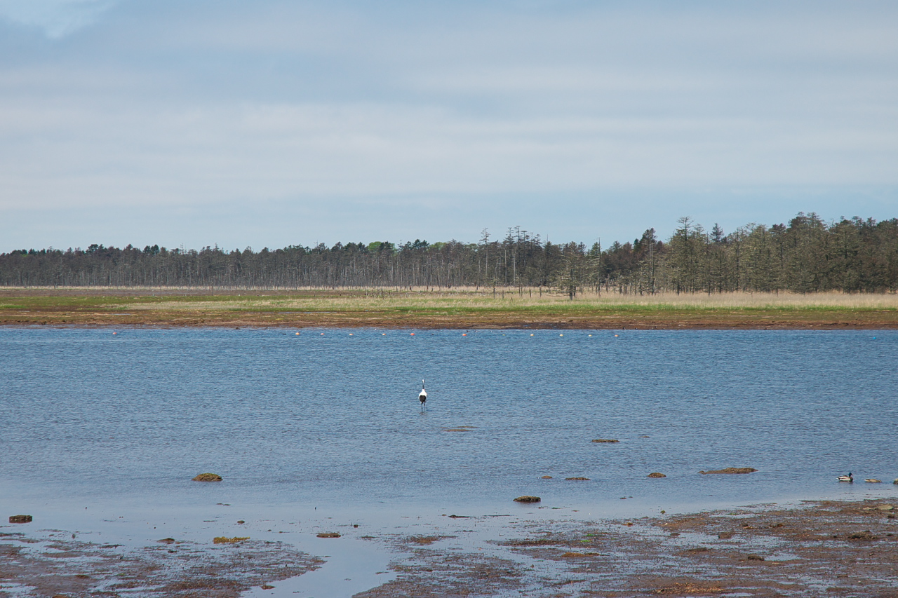
Hurenko lake / 風蓮湖
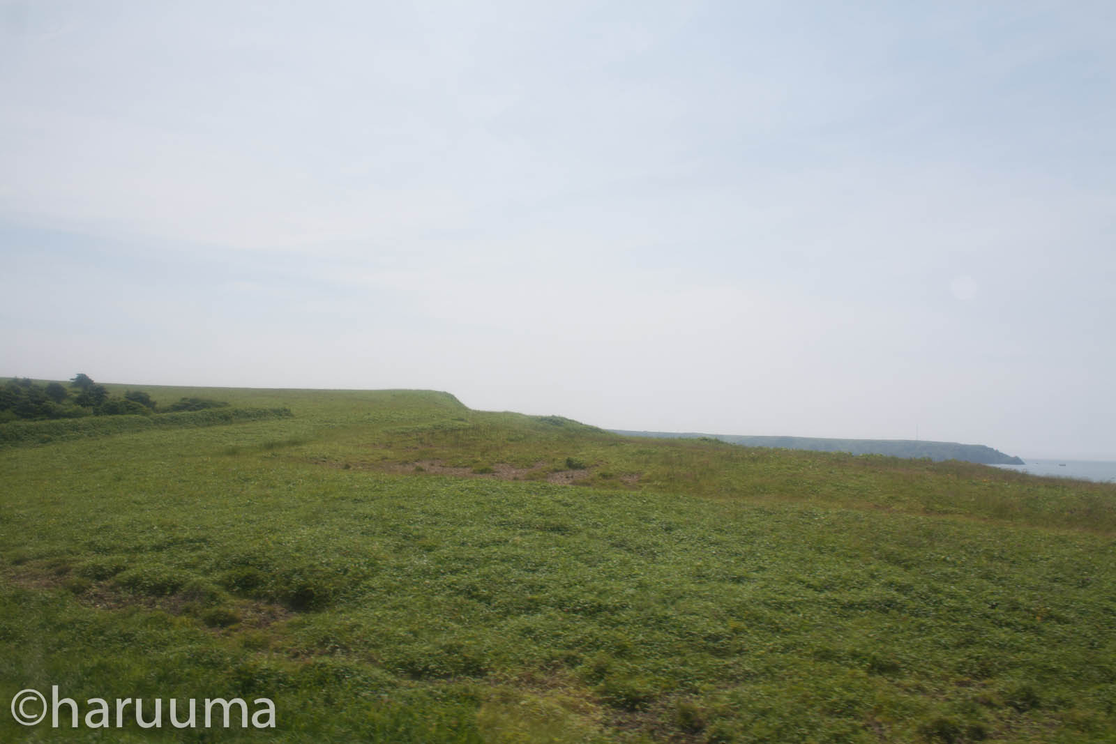
花咲線車窓から
HKD-9663
HKD-9660
태평양 ... #humantravel
Topographic Map of Tōbai, Nemuro-shi, Hokkaidō -, Japan
Find elevation by address:

Places near Tōbai, Nemuro-shi, Hokkaidō -, Japan:
Nishiwada, Nemuro-shi, Hokkaidō -, Japan
11-9 Hamamatsu, Nemuro-shi, Hokkaidō -, Japan
4 Chome- Hōrinchō, Nemuro-shi, Hokkaidō -, Japan
Nemuro
Tomoshiri, Nemuro-shi, Hokkaidō -, Japan
3 Chome-5 Goyōmai, Nemuro-shi, Hokkaidō -, Japan
Betsukai
Hamanaka
3 Sen-60 Hamanakahigashi, Hamanaka-chō, Akkeshi-gun, Hokkaidō -, Japan
Notsuke District
38 Toyohara, Betsukai-chō, Notsuke-gun, Hokkaidō -, Japan
5 Hyōchū, Nakashibetsu-chō, Shibetsu-gun, Hokkaidō -, Japan
Akkeshi District
2 Chome-22 Maruyama, Nakashibetsu-chō, Shibetsu-gun, Hokkaidō -, Japan
Nakashibetsu
Akkeshi
Recent Searches:
- Elevation of Leguwa, Nepal
- Elevation of County Rd, Enterprise, AL, USA
- Elevation of Kolchuginsky District, Vladimir Oblast, Russia
- Elevation of Shustino, Vladimir Oblast, Russia
- Elevation of Lampiasi St, Sarasota, FL, USA
- Elevation of Elwyn Dr, Roanoke Rapids, NC, USA
- Elevation of Congressional Dr, Stevensville, MD, USA
- Elevation of Bellview Rd, McLean, VA, USA
- Elevation of Stage Island Rd, Chatham, MA, USA
- Elevation of Shibuya Scramble Crossing, 21 Udagawacho, Shibuya City, Tokyo -, Japan