Elevation of Syracuse, NY, USA
Location: United States > New York > Onondaga County >
Longitude: -76.147424
Latitude: 43.0481221
Elevation: 121m / 397feet
Barometric Pressure: 100KPa
Elevation Map:
Satellite Map:
Related Photos:

Winter Solitude

Syracuse Nationals

South from Abbey Road
South from Abbey Road
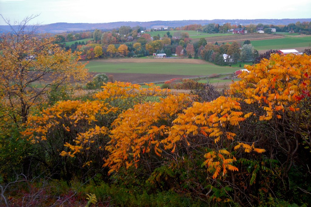
South From Young Road

View from Crowne Plaza

Summer Knowledge

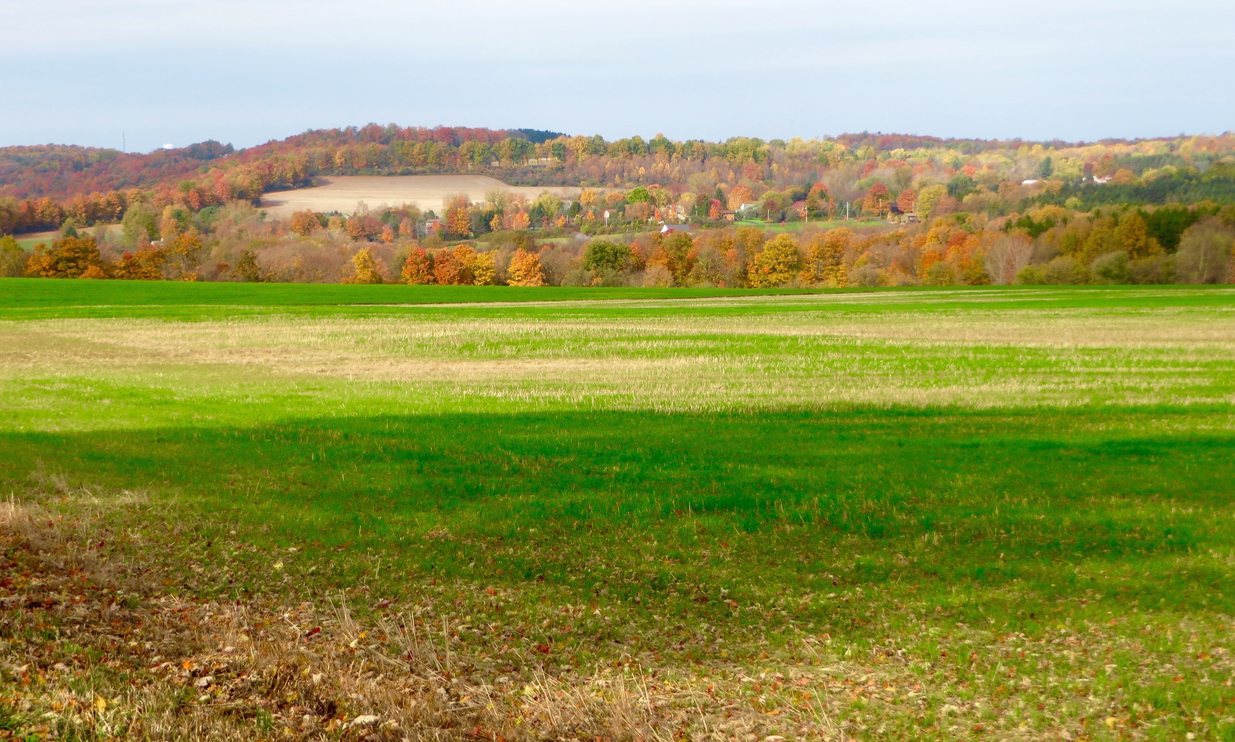
Farm-ThompsonRd

views of the midway
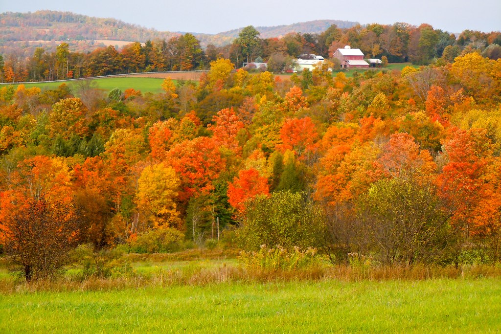
Fall View
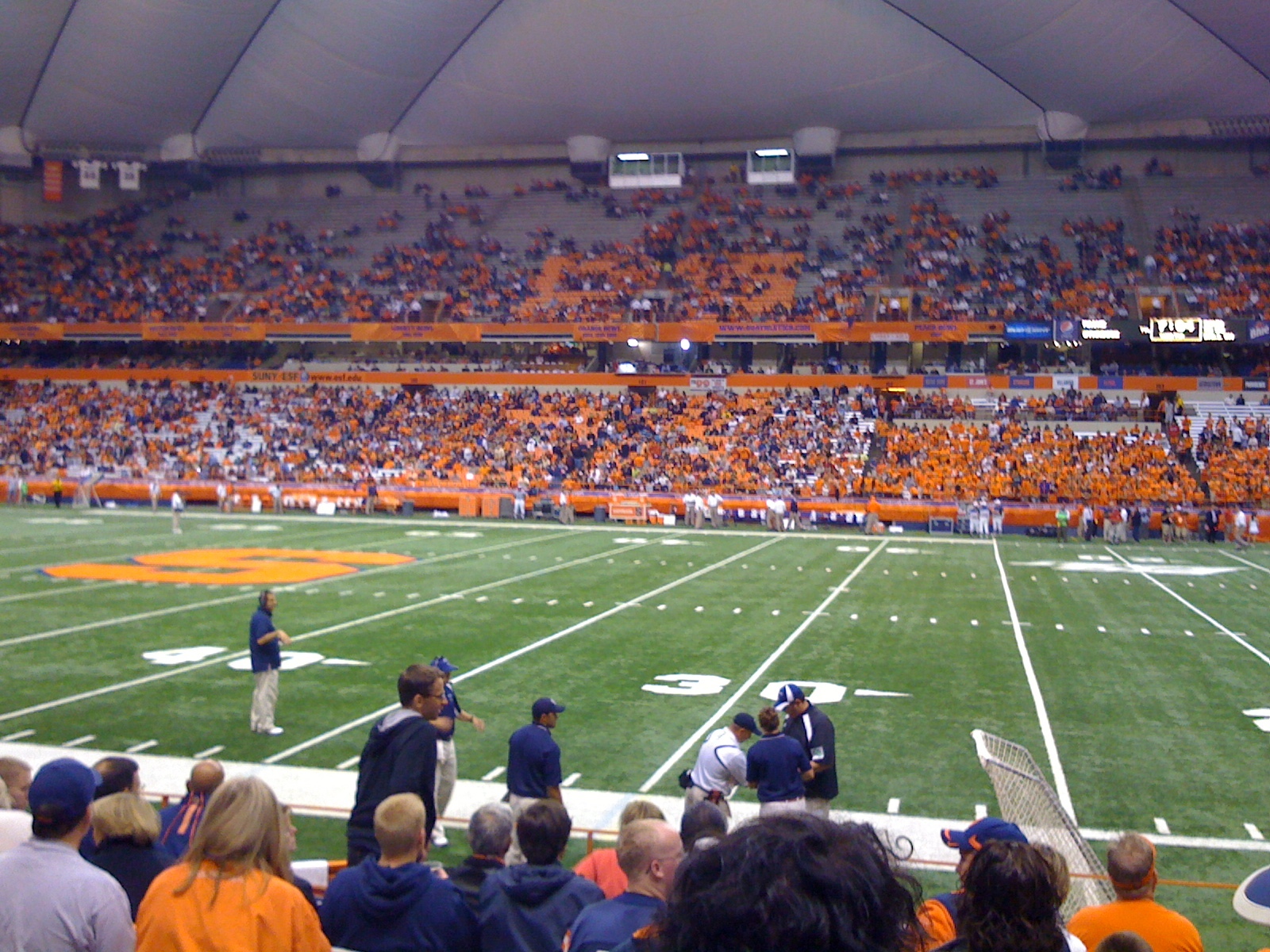
View at Carrier Dome
Topographic Map of Syracuse, NY, USA
Find elevation by address:

Places in Syracuse, NY, USA:
Eastside
Downtown
Southside
Eastwood
Westside
Northside
Valley
Brewerton Rd, Syracuse, NY, USA
Cleveland Road
Jones Rd, Syracuse, NY, USA
Tanner Road
Abbey Road
Outlook Drive
Far Westside
Places near Syracuse, NY, USA:
407 S State St
Syracuse Police Department
333 E Washington St
Downtown
South Townsend Street
304 S Salina St
202 S Salina St
Montgomery Street
Thanos Import Market
301 Prospect Ave
222 Herald Pl
750 E Adams St
Crouse Irving Memorial Hospital
802 S Crouse Ave
917 Madison St
Syracuse University
Lawrinson Hall
Walnut
222 Waverly Ave
1 Forestry Dr
Recent Searches:
- Elevation of Corso Fratelli Cairoli, 35, Macerata MC, Italy
- Elevation of Tallevast Rd, Sarasota, FL, USA
- Elevation of 4th St E, Sonoma, CA, USA
- Elevation of Black Hollow Rd, Pennsdale, PA, USA
- Elevation of Oakland Ave, Williamsport, PA, USA
- Elevation of Pedrógão Grande, Portugal
- Elevation of Klee Dr, Martinsburg, WV, USA
- Elevation of Via Roma, Pieranica CR, Italy
- Elevation of Tavkvetili Mountain, Georgia
- Elevation of Hartfords Bluff Cir, Mt Pleasant, SC, USA