Elevation of Sycamore Rd, Craig, CO, USA
Location: United States > Colorado > Craig >
Longitude: -107.44250
Latitude: 40.8663886
Elevation: 2415m / 7923feet
Barometric Pressure: 75KPa
Elevation Map:
Satellite Map:
Related Photos:
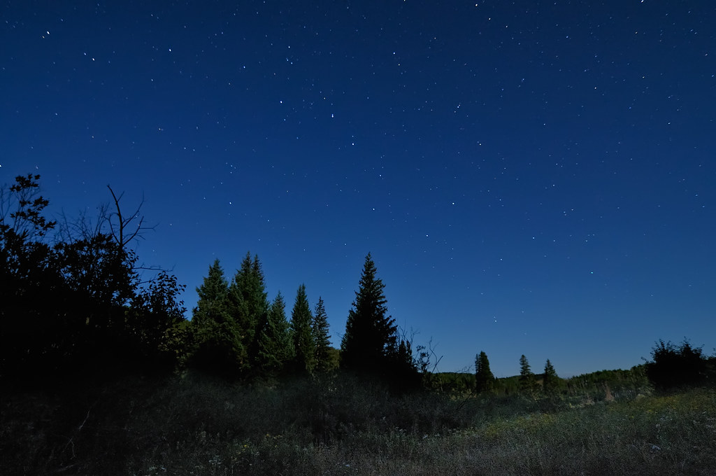
Dipping into the Elkhead Mountains
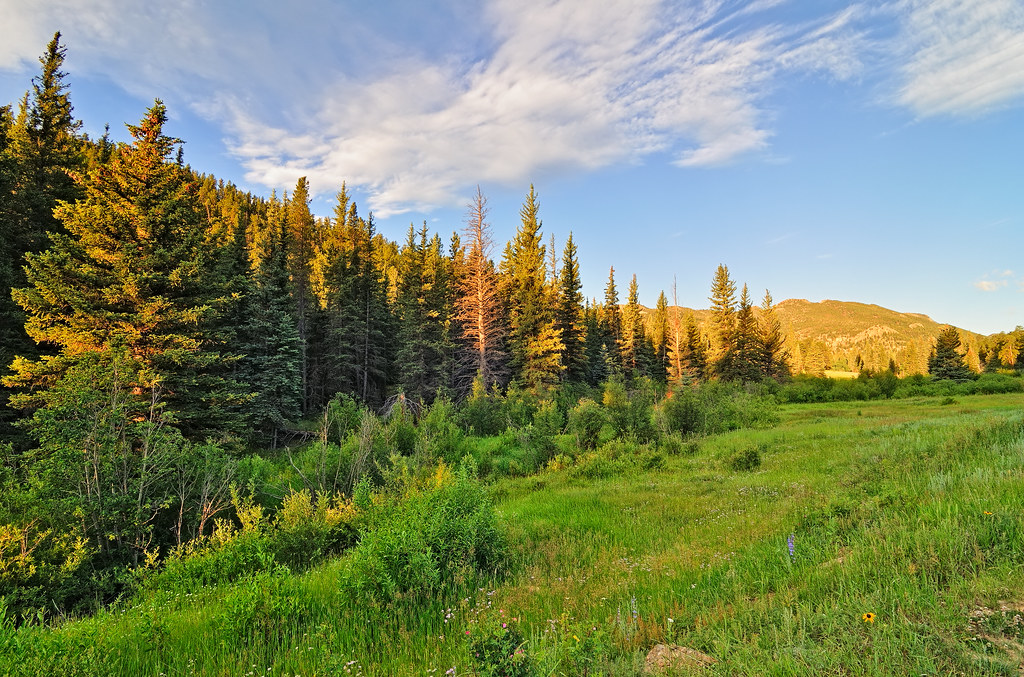
A Morning on Cow Creek
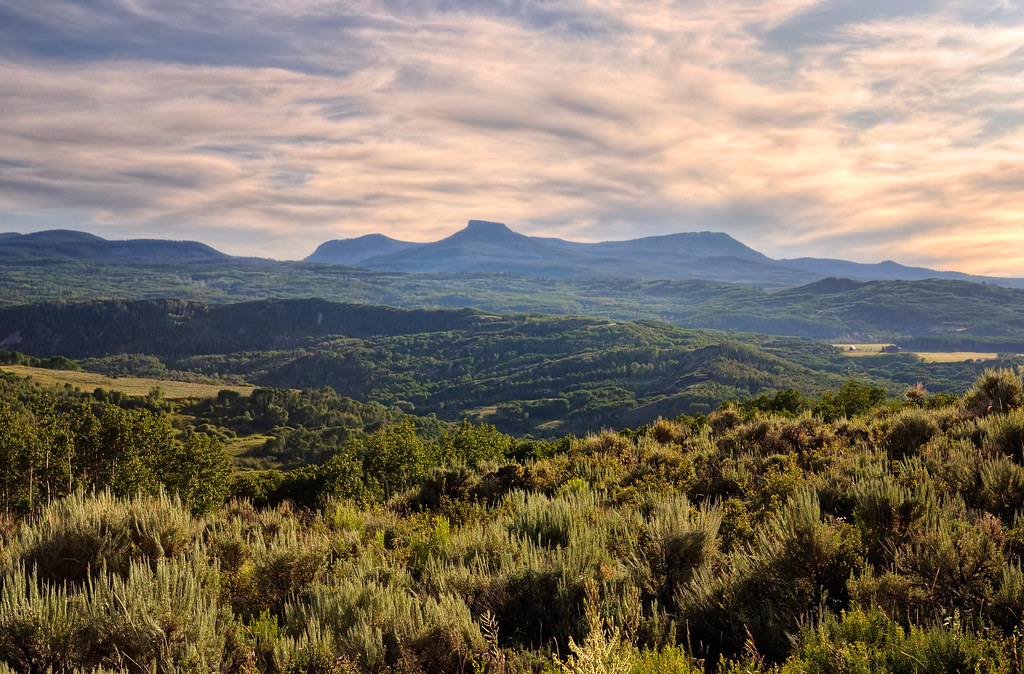
Seeing Forever in the Elkhead Mountains

Dusky Grouse Courtship Display
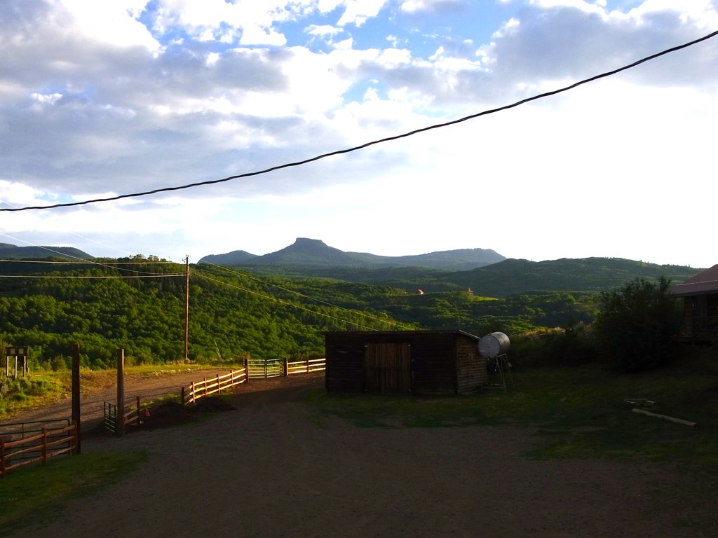
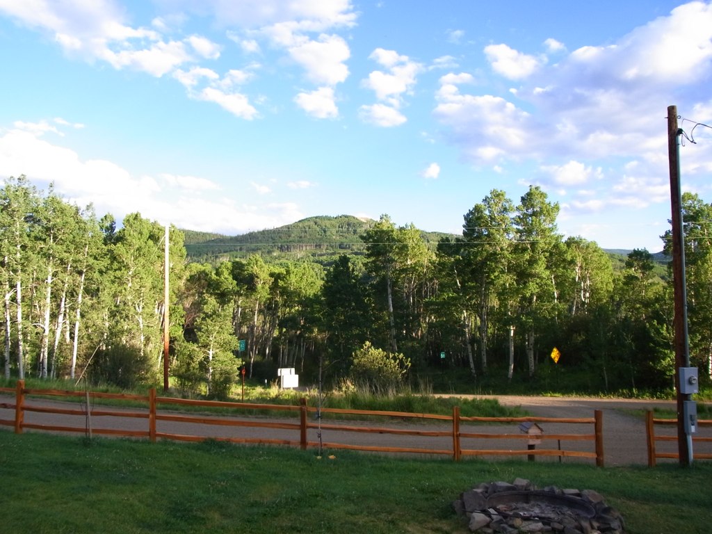
View from the lodge
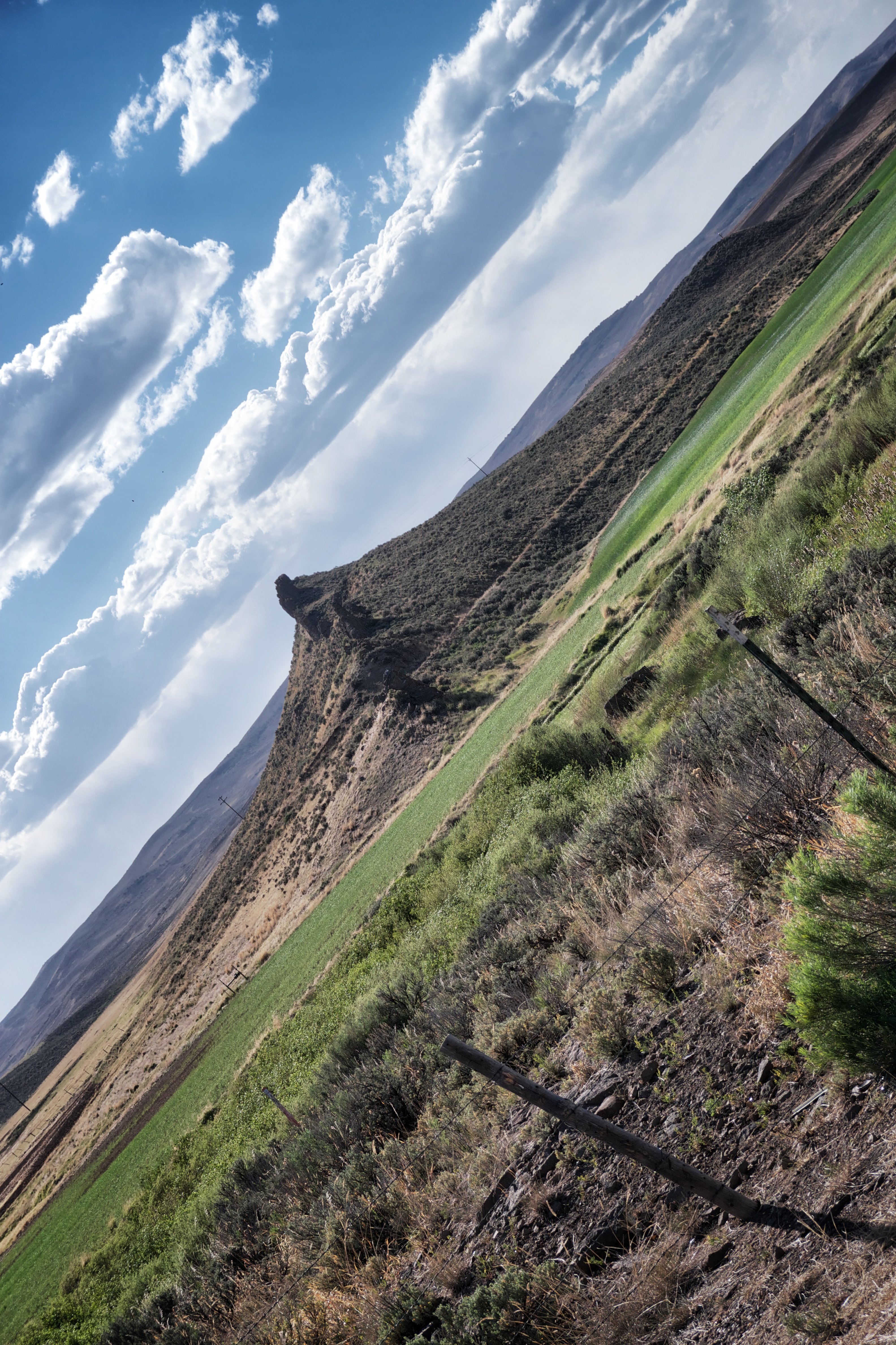
Rock formation north of Craig. CO State Route 789, near Craig, CO.
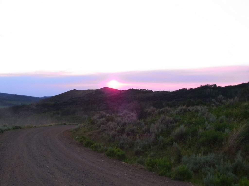
Sunset from above the the Lodge
Out the front gate

So entertaining

Matthew taking us up to see the sunset
Topographic Map of Sycamore Rd, Craig, CO, USA
Find elevation by address:

Places near Sycamore Rd, Craig, CO, USA:
3457 Timberlane Dr
943 Routt Forest Dr
Little Emerson Peak
Bakers Peak
Mount Welba
Baker's Peak Ranch
Mount Oliphant
Buck Point
Long Mountain
Savery
The Lodge And Spa At Three Forks Ranch
Brush Mountain
West Gibraltar Peak
Battle Mountain
Columbus Mountain
Twin Buttes
Sugar Loaf Mountain
Baggs
Circle Ridge
Wyoming 70
Recent Searches:
- Elevation of 72-31 Metropolitan Ave, Middle Village, NY, USA
- Elevation of 76 Metropolitan Ave, Brooklyn, NY, USA
- Elevation of Alisal Rd, Solvang, CA, USA
- Elevation of Vista Blvd, Sparks, NV, USA
- Elevation of 15th Ave SE, St. Petersburg, FL, USA
- Elevation of Beall Road, Beall Rd, Florida, USA
- Elevation of Leguwa, Nepal
- Elevation of County Rd, Enterprise, AL, USA
- Elevation of Kolchuginsky District, Vladimir Oblast, Russia
- Elevation of Shustino, Vladimir Oblast, Russia