Elevation of Swisshelm Mountain, Arizona, USA
Location: United States > Arizona > Cochise County > Elfrida >
Longitude: -109.53534
Latitude: 31.6745389
Elevation: 2114m / 6936feet
Barometric Pressure: 78KPa
Elevation Map:
Satellite Map:
Related Photos:
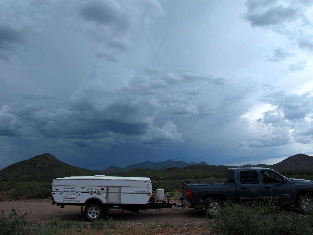
4WD Exploration and Support Unit

CHIRICAUA MOUNTAINS FEB2014 032
McNeal, Arizona (3)
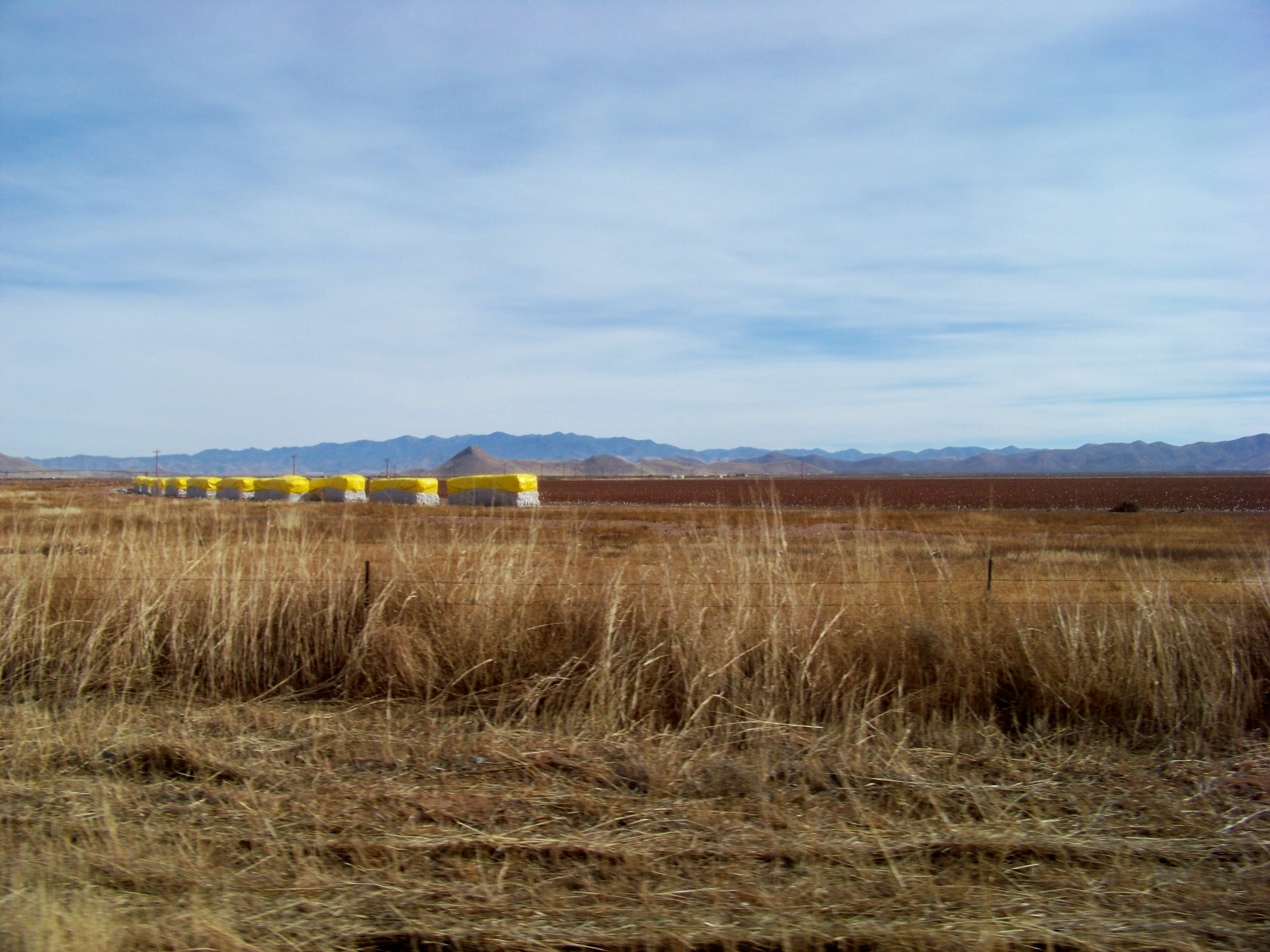
Bailed Cotton
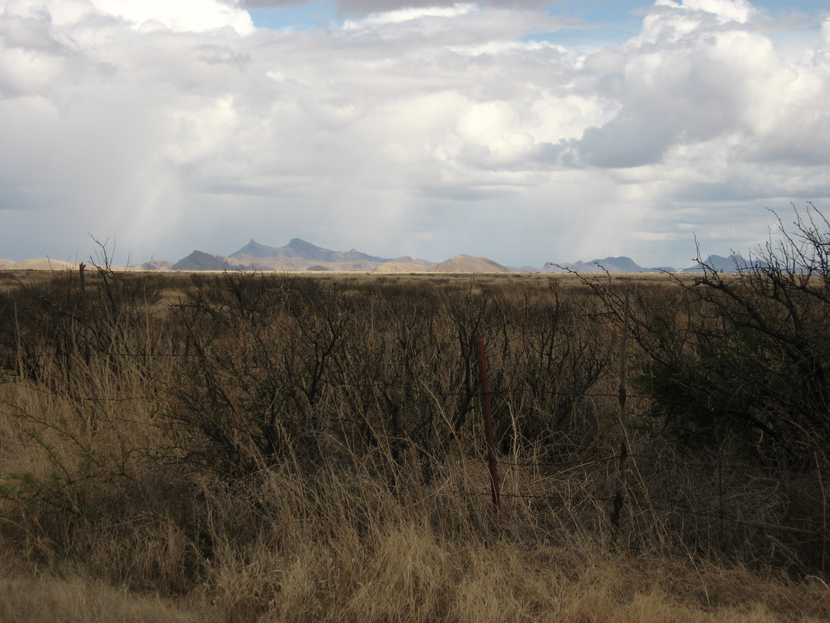
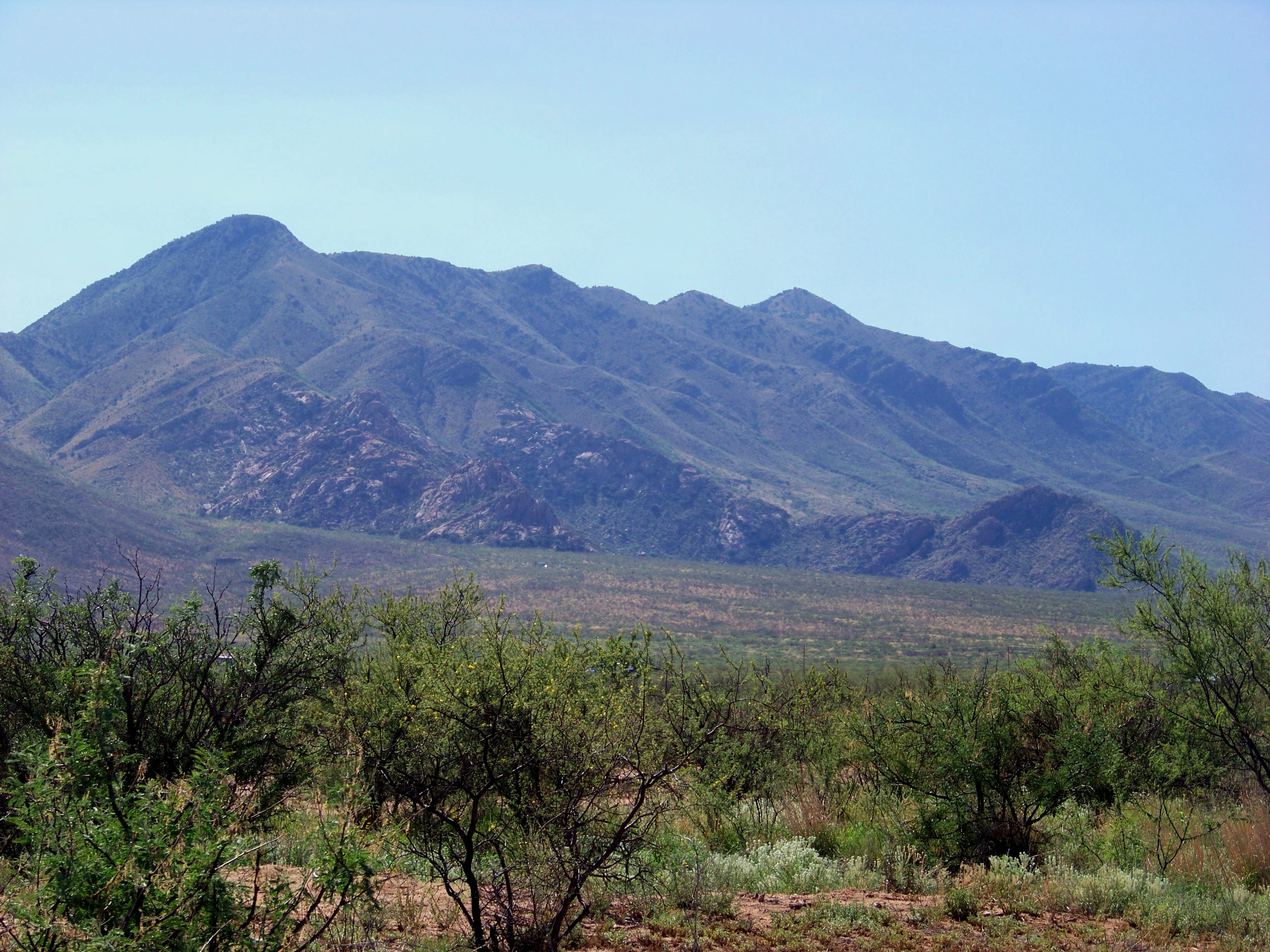
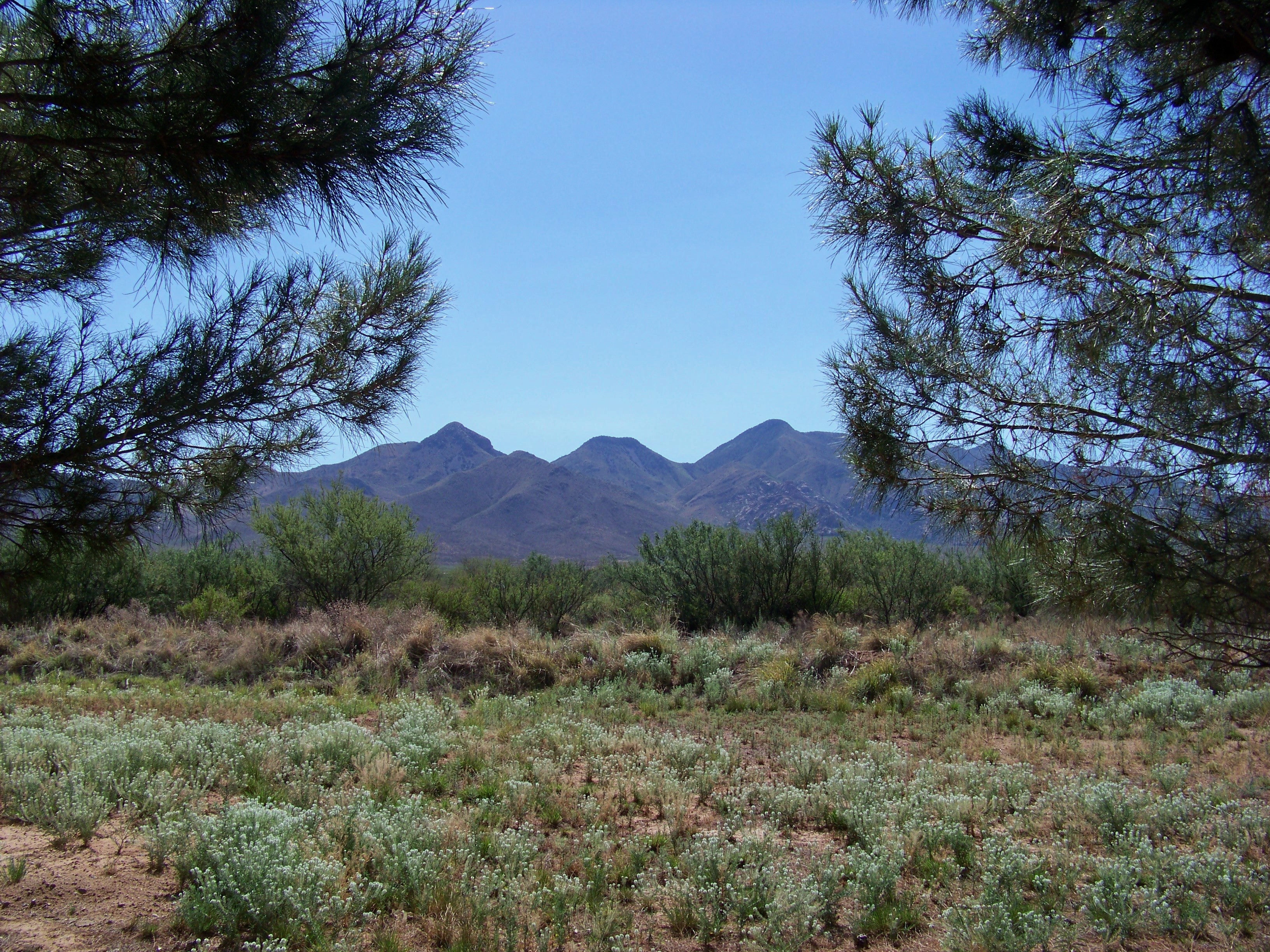
Near Rucker Canyon 5
Near Rucker Canyon
Near Rucker Canyon 2
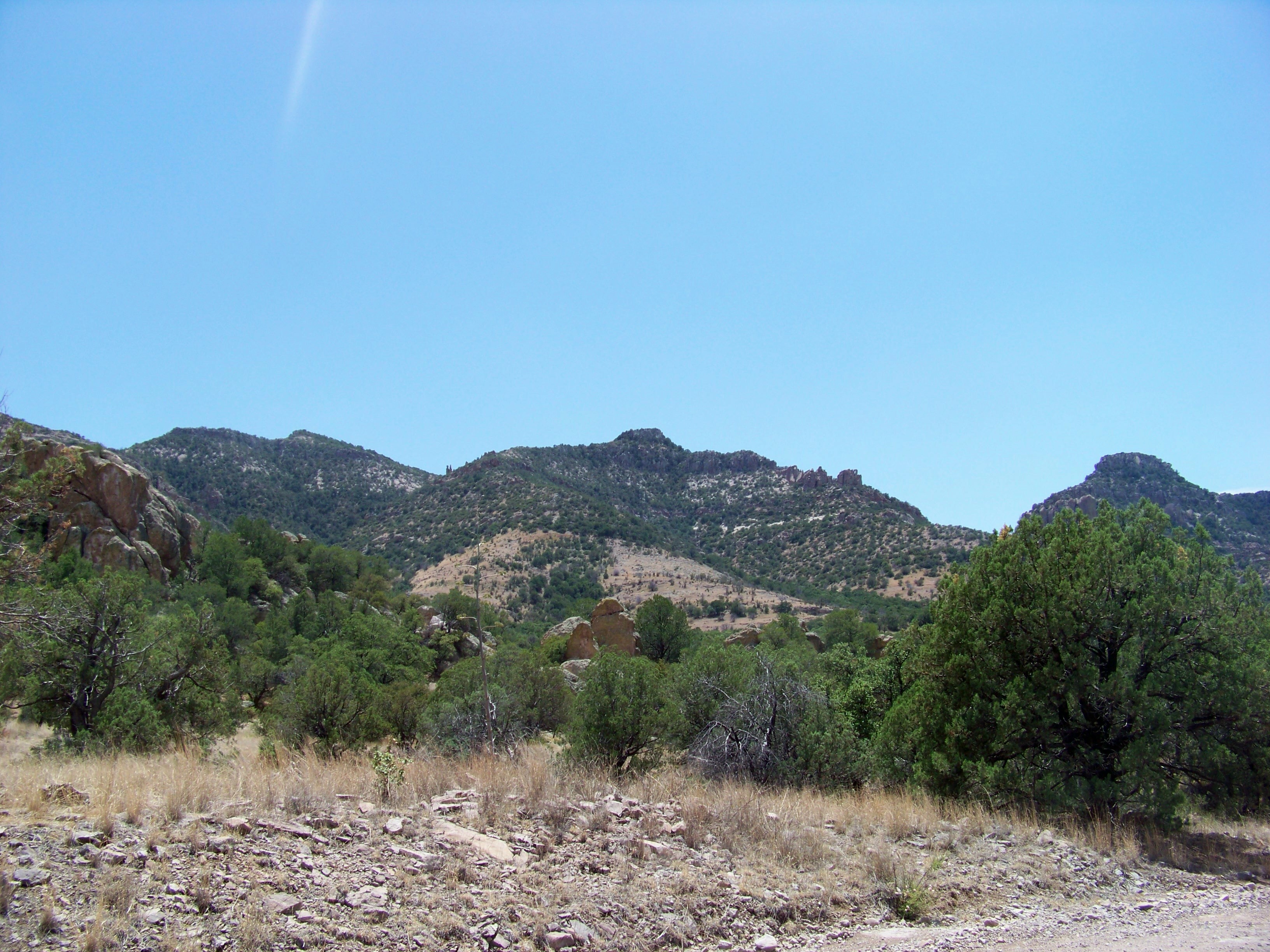
Coronado National Forest, Arizona
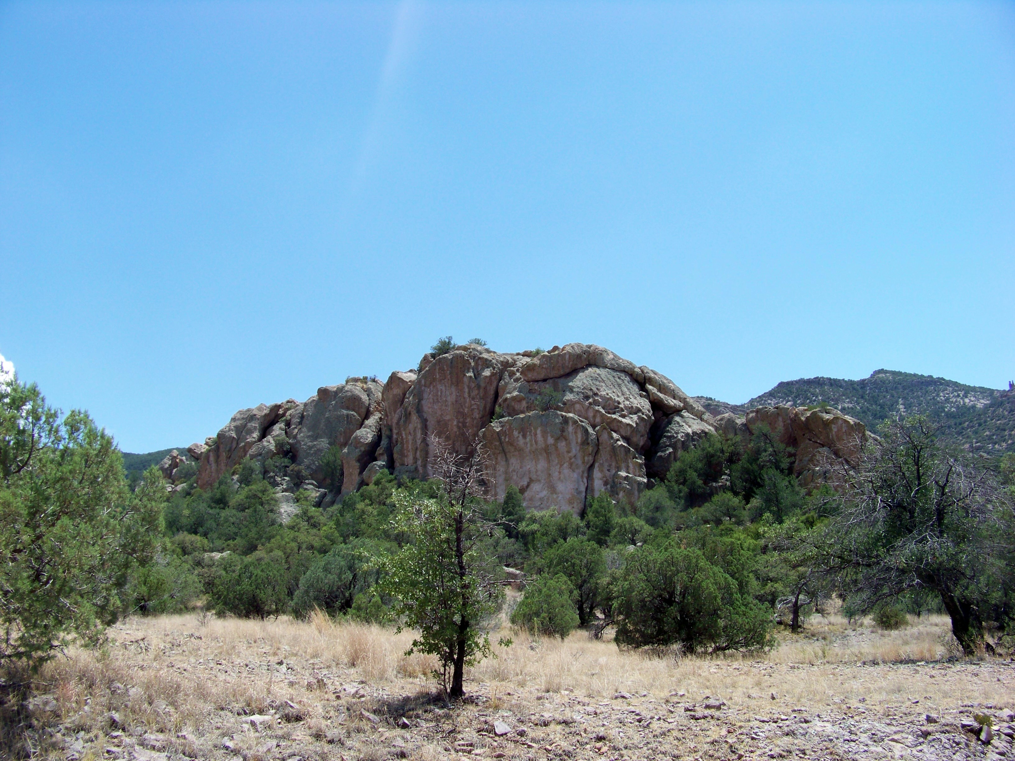
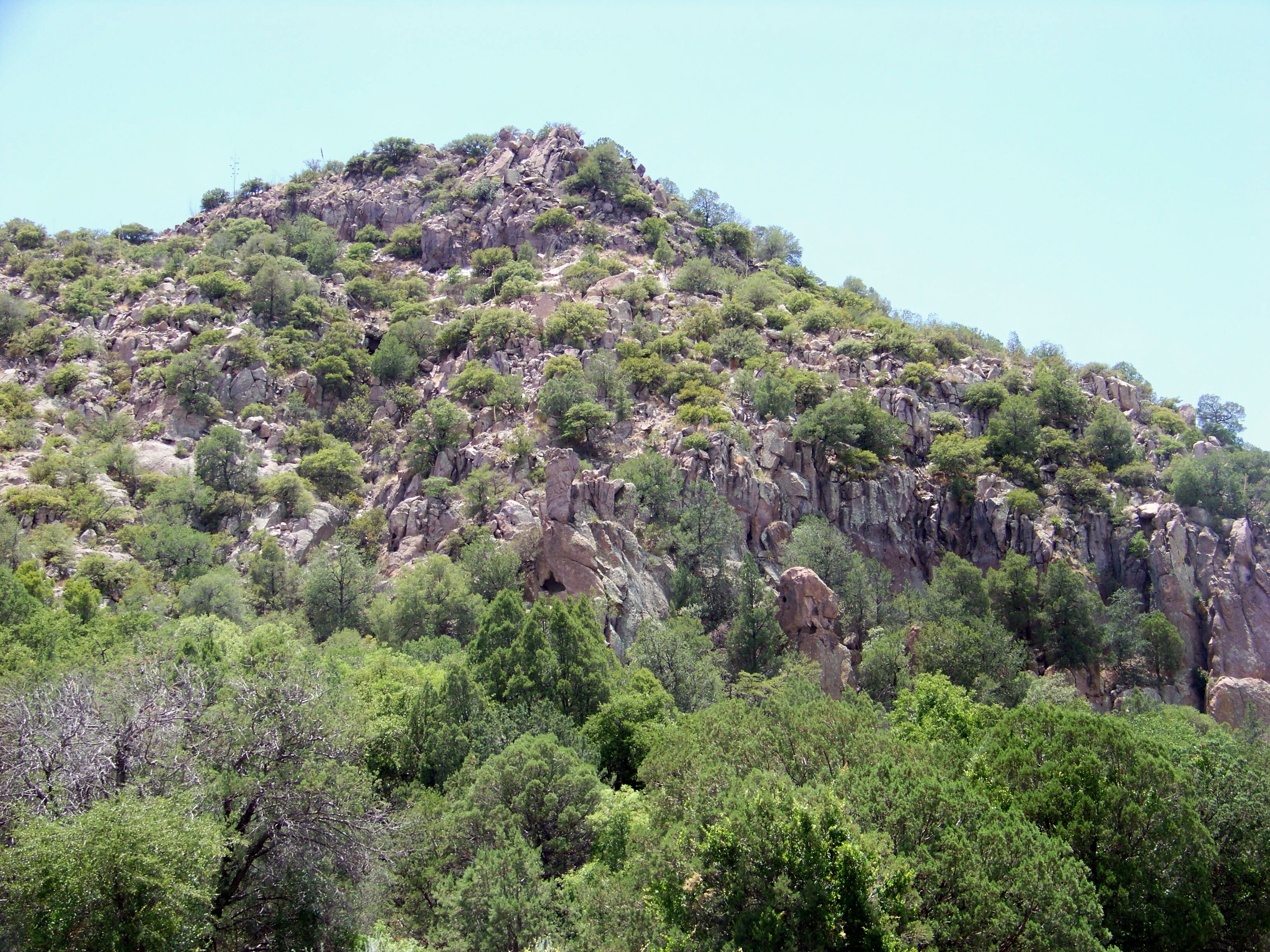
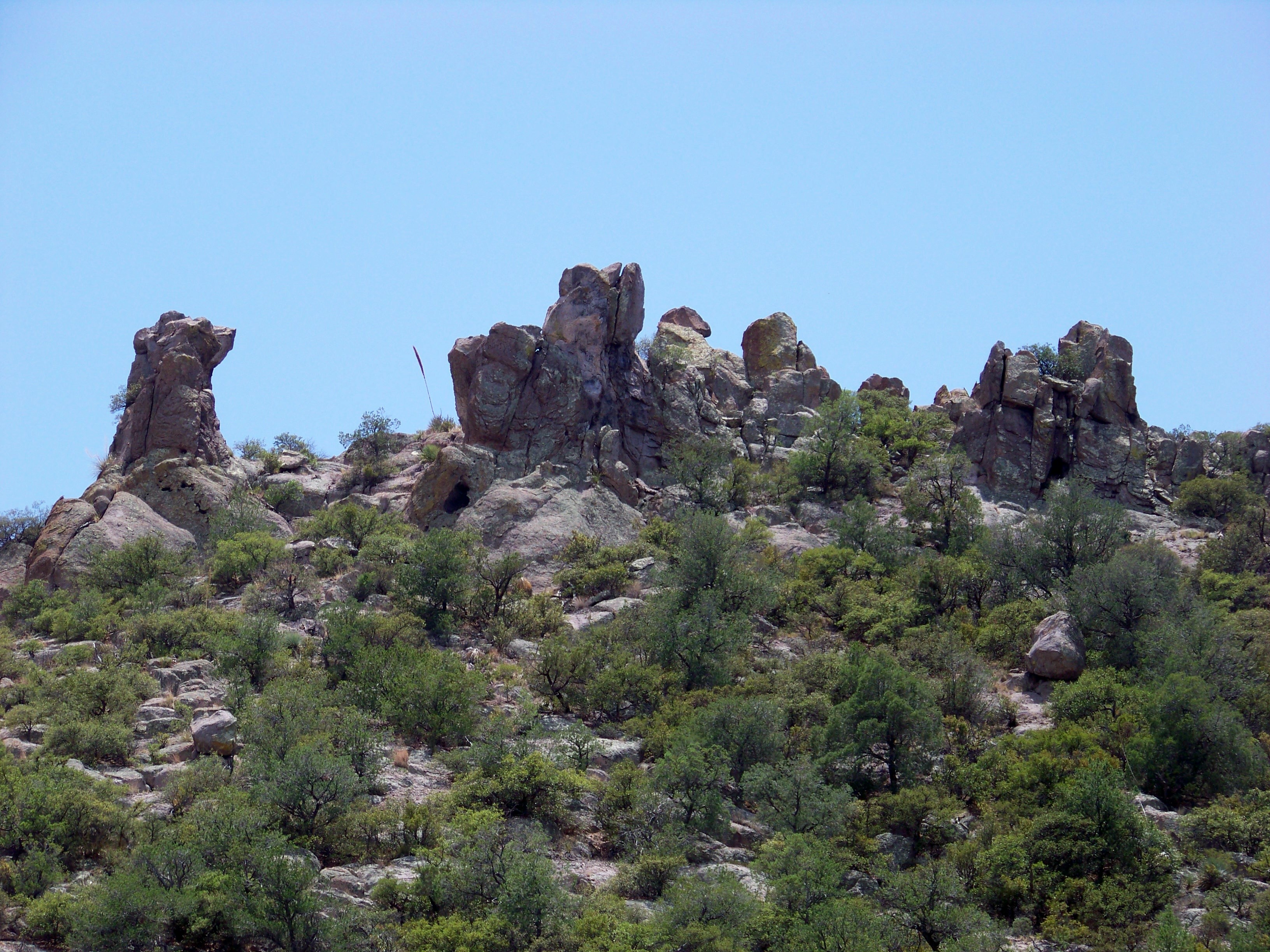
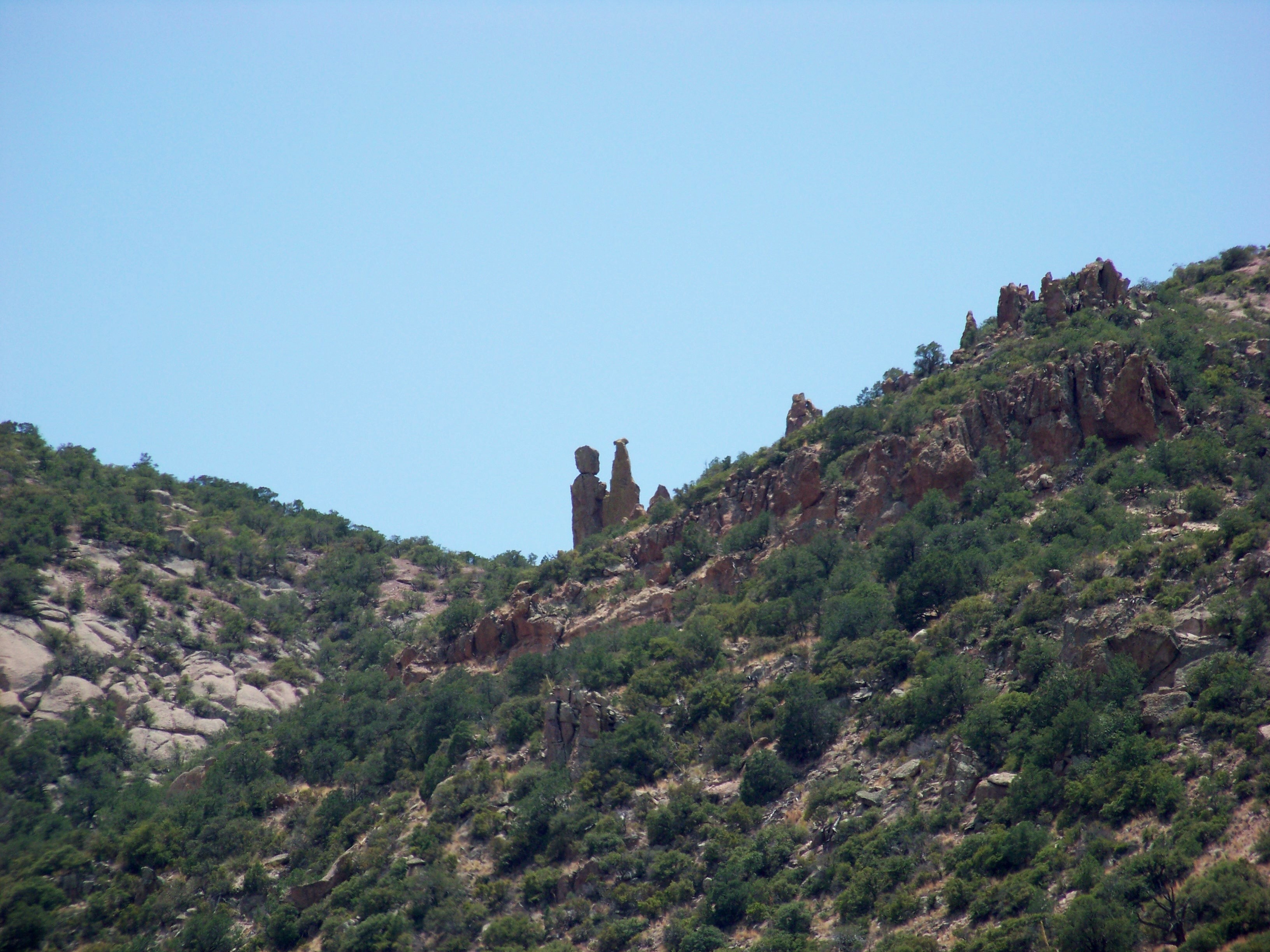
The Granites 2
Near Rucker Canyon 4
Near Rucker Canyon 3
The Granites 1
Topographic Map of Swisshelm Mountain, Arizona, USA
Find elevation by address:

Places near Swisshelm Mountain, Arizona, USA:
N Rucker Canyon Rd, Elfrida, AZ, USA
Hunt Canyon Rd, Arizona, USA
East La Canada Drive
Elfrida
US-, Mc Neal, AZ, USA
Mcneal
13537 S Clovis Rd
7376 E Aschenbach Rd
10399 Turkey Creek Rd
AZ-80, Douglas, AZ, USA
7662 N Pedregosa Rd
Walnut Lane
13097 Az-181
7378 N College Peak Rd
4543 E Circle H Ranch Rd
Sunizona
Mescalero Dr, Pearce, AZ, USA
East Pueblo Drive
13187 E Turkey Creek Rd
Chiricahua Peak
Recent Searches:
- Elevation of Corso Fratelli Cairoli, 35, Macerata MC, Italy
- Elevation of Tallevast Rd, Sarasota, FL, USA
- Elevation of 4th St E, Sonoma, CA, USA
- Elevation of Black Hollow Rd, Pennsdale, PA, USA
- Elevation of Oakland Ave, Williamsport, PA, USA
- Elevation of Pedrógão Grande, Portugal
- Elevation of Klee Dr, Martinsburg, WV, USA
- Elevation of Via Roma, Pieranica CR, Italy
- Elevation of Tavkvetili Mountain, Georgia
- Elevation of Hartfords Bluff Cir, Mt Pleasant, SC, USA