Elevation of Sweetwater Rd, Robbinsville, NC, USA
Location: United States > North Carolina > Graham County > Cheoah > Robbinsville >
Longitude: -83.747561
Latitude: 35.340573
Elevation: 675m / 2215feet
Barometric Pressure: 93KPa
Elevation Map:
Satellite Map:
Related Photos:
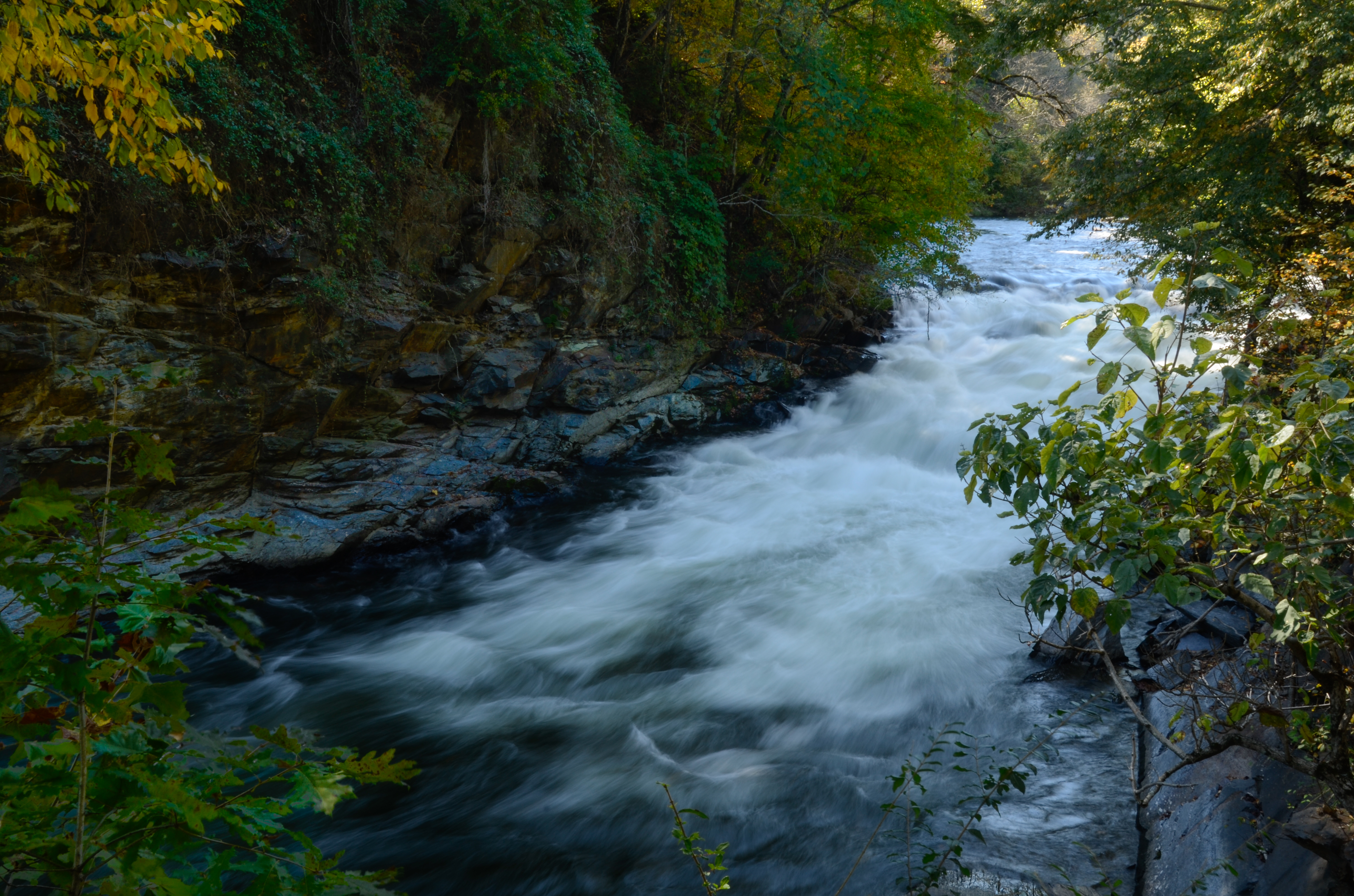
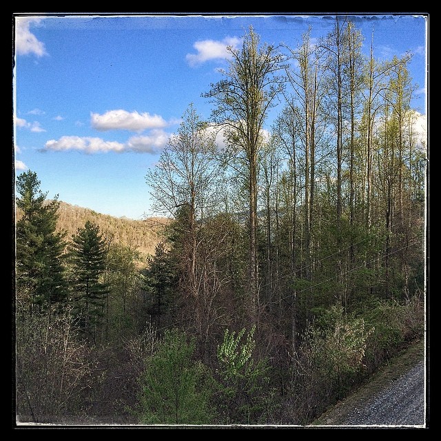
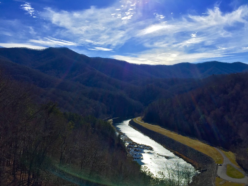
Nantahala River Gorge - Land of the Noon Day Sun

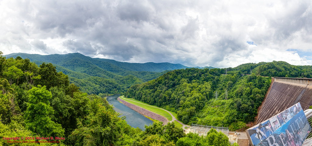
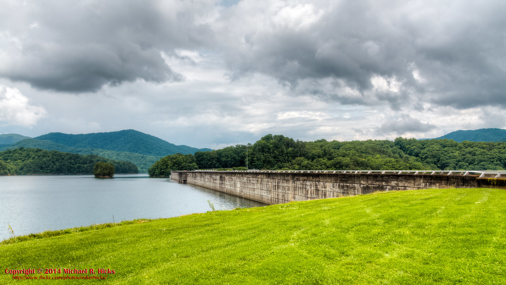
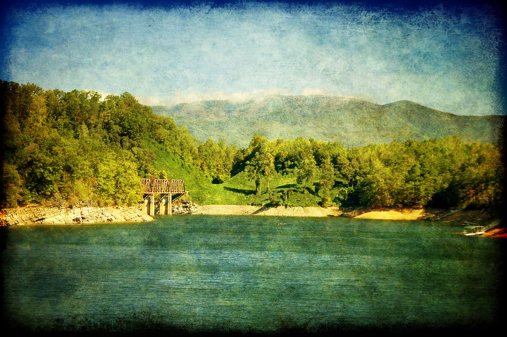
View from the Dam

Appalachian Trail
Great Smoky Mountains National Park
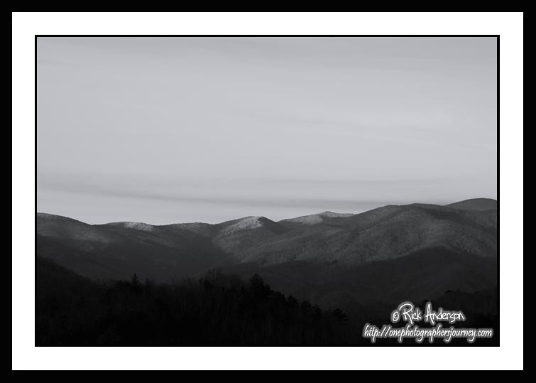
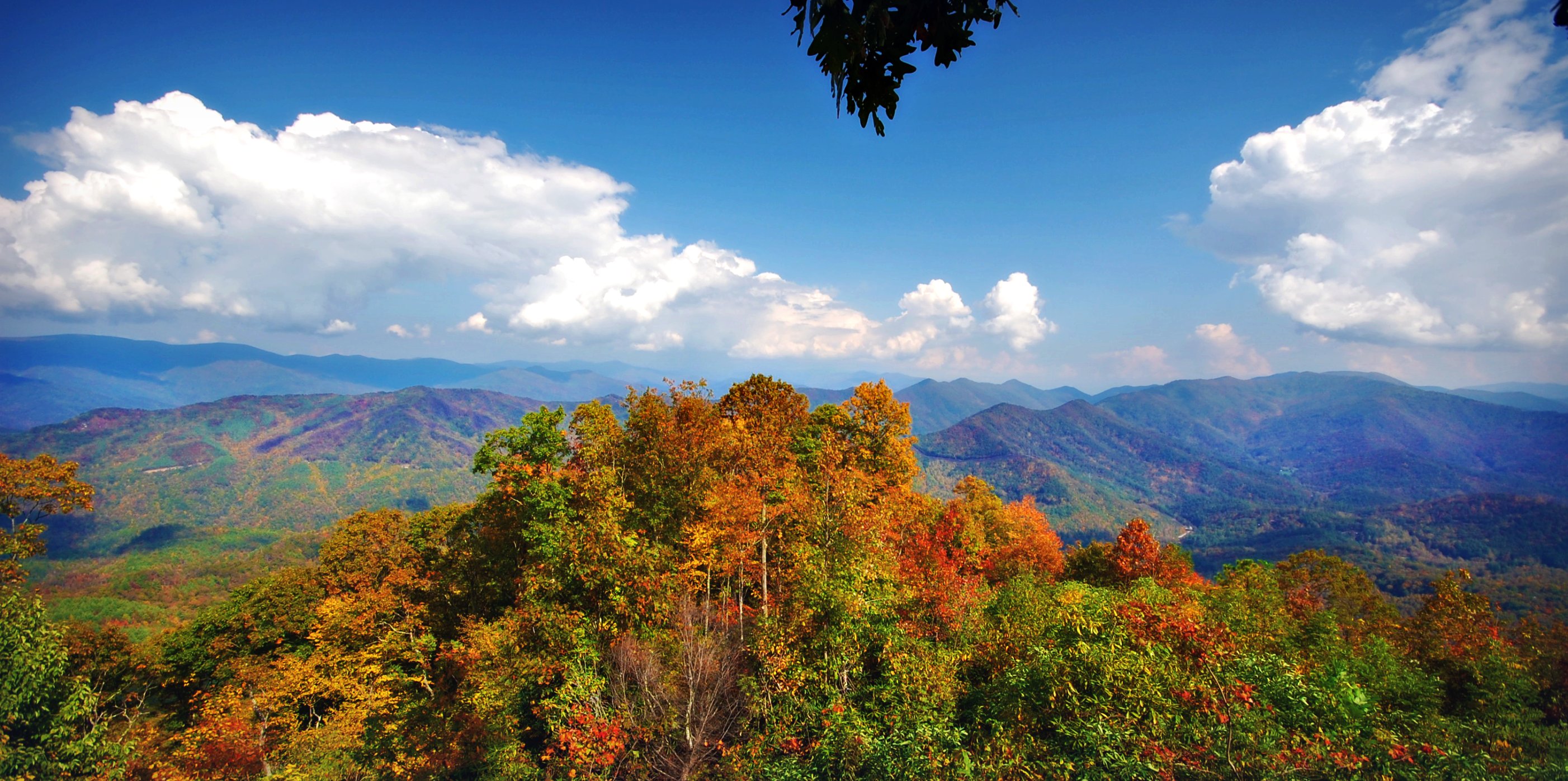
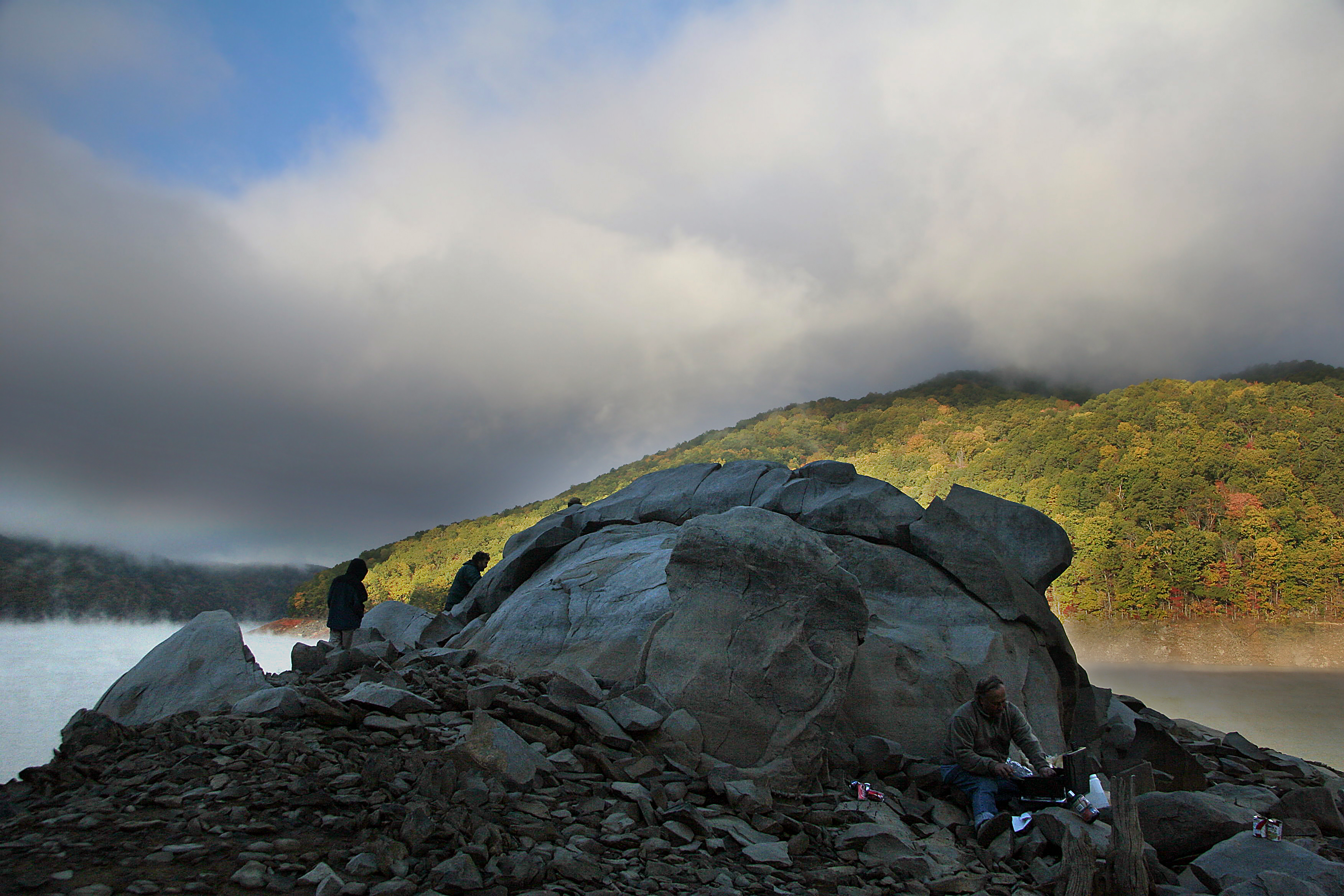
Stormy Smokeys
Views from the train
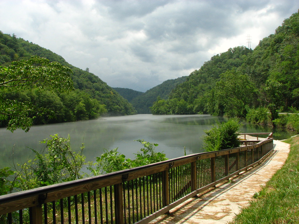
View of the Little Tennessee River
GSMNP Backpack Day 6 - June 28, 2014 - View Downstream of Fontana Dam

#roadtrip #northcarolina #greatsmokeymountains#nationalpark#view#logcabin
Back to the Smokies in 33 days and counting
#greatsmokeymountains #nationalpark #view #northcarolina
#greatsmokeymountains #nationalpark #view #northcarolina #roadtrip
Where the Paths Parted
view from camp
Cheoah Bald
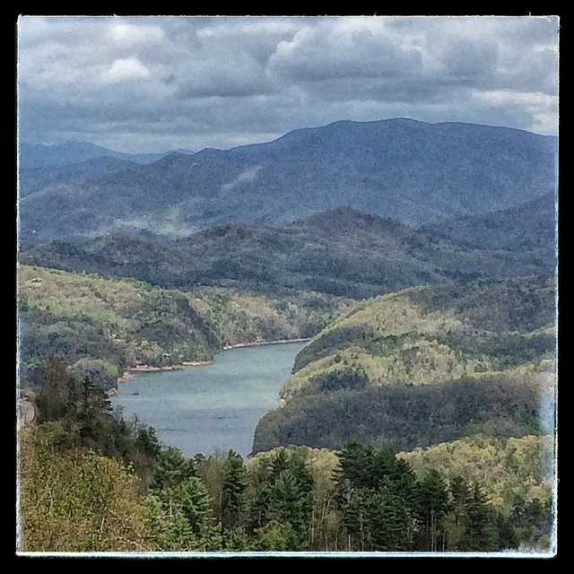
Fontana Lake in Western North Carolina - View From the Train
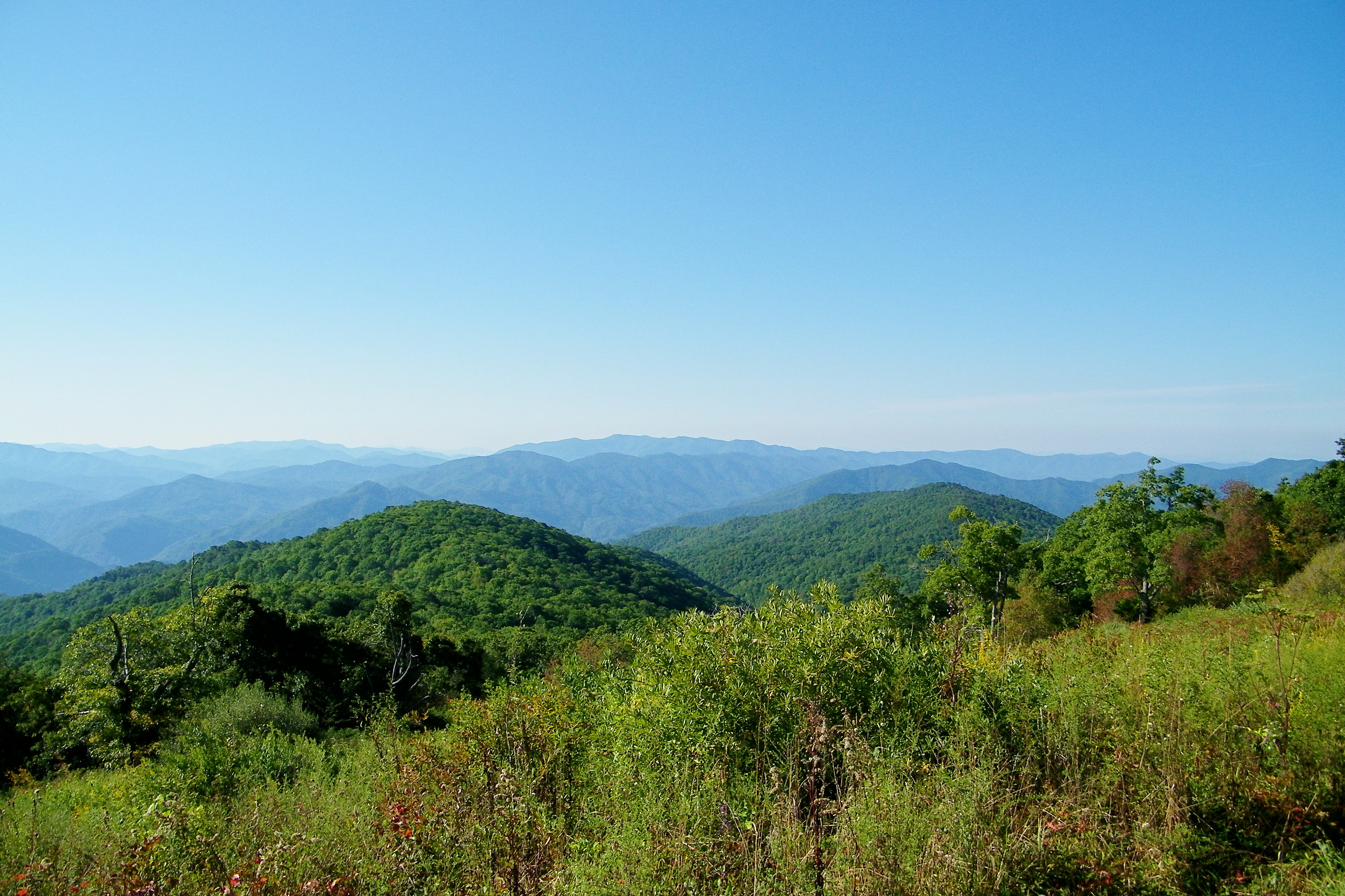
smoky mountains

Smokies-20110311-214.jpg
140706-3175 Fontana Dam
View From Shook Stack

fontana view

GSMR Rounding The Bend
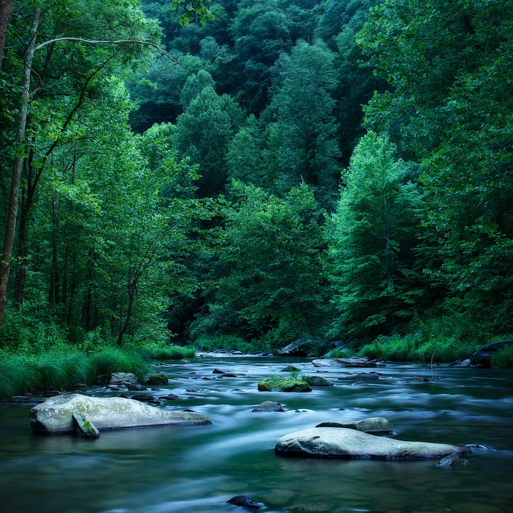
Little Tennessee
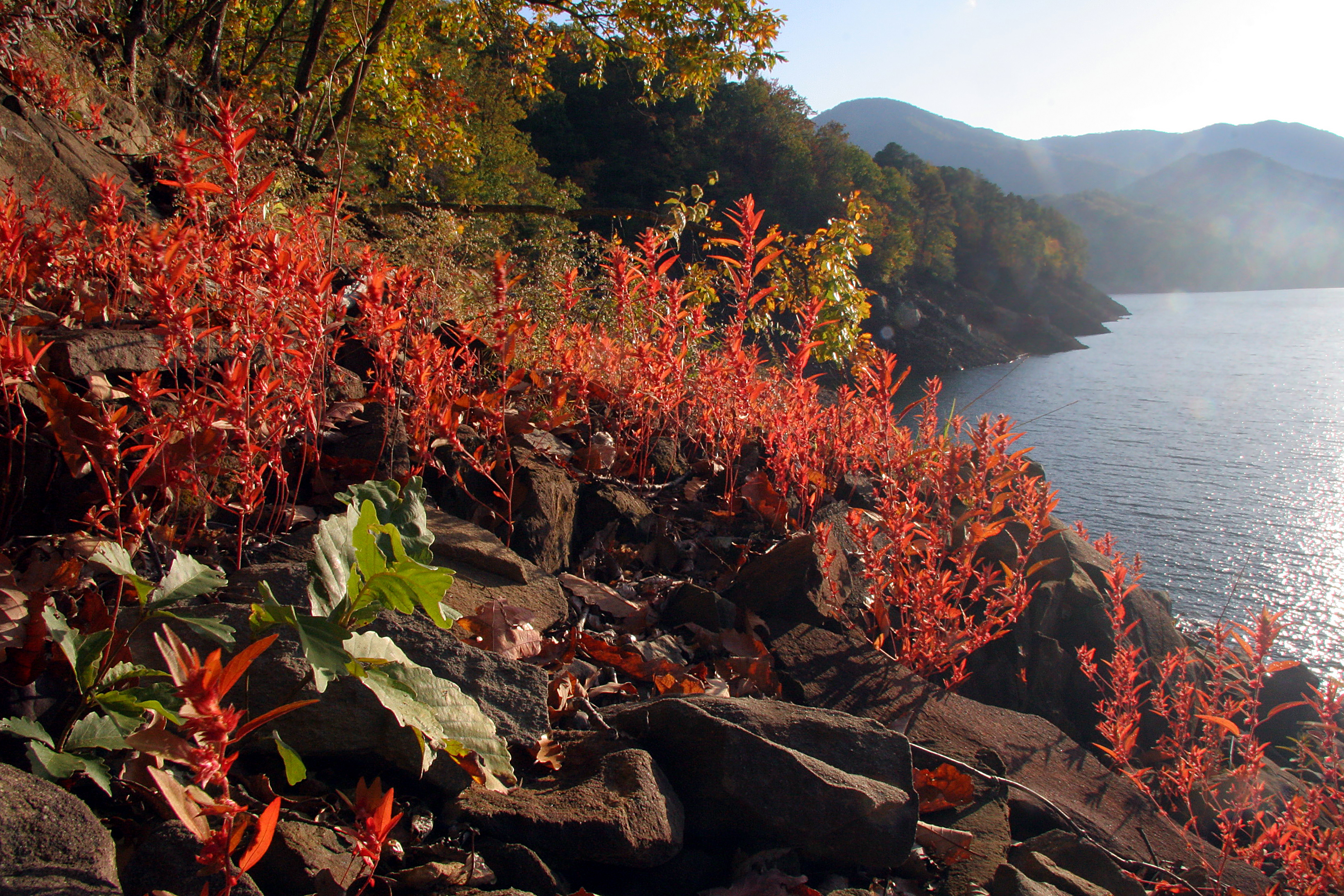
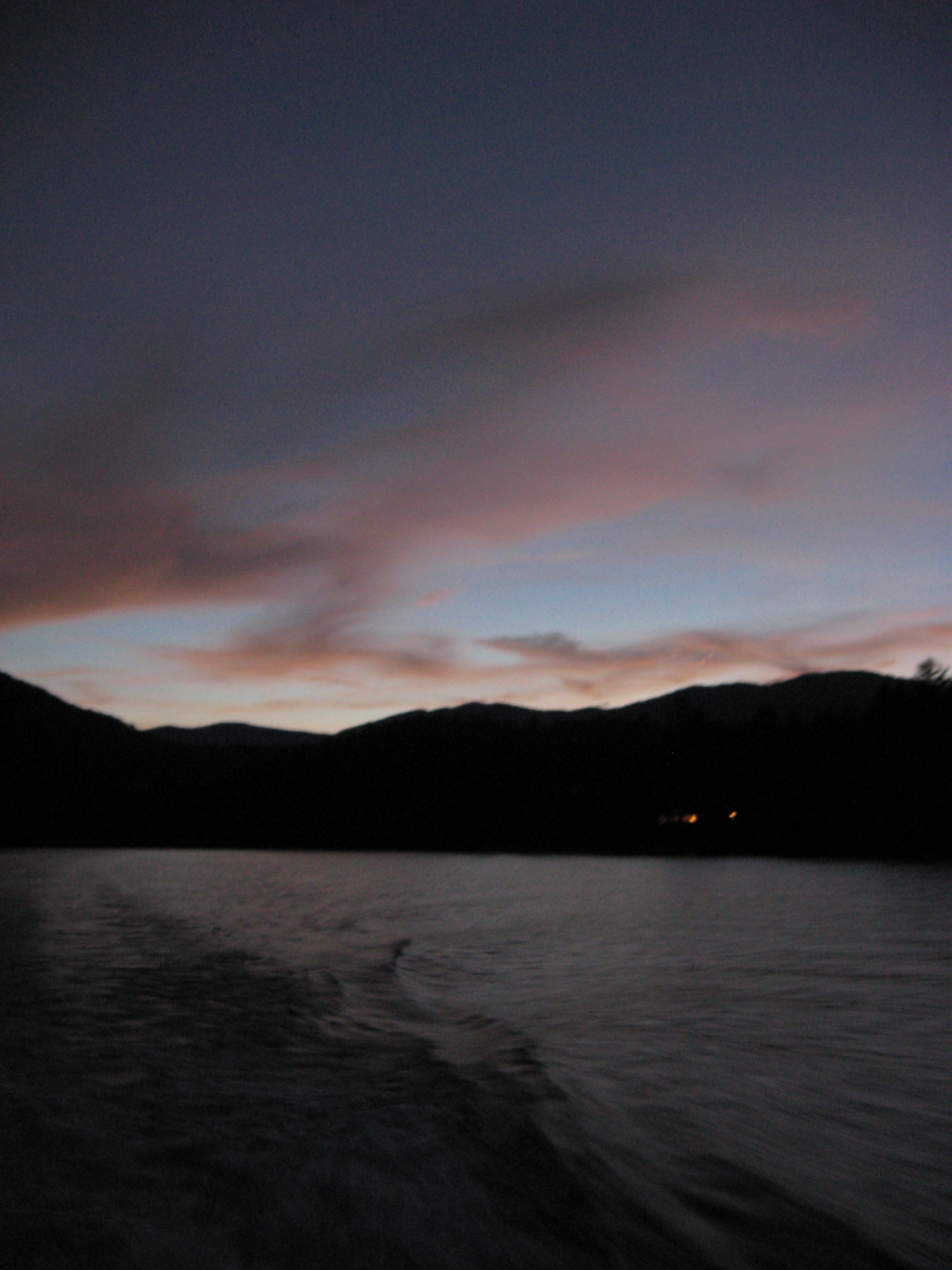
A River's Twilight

One of my Favorite Spots
GSMNP Backpack Day 6 - June 28, 2014 - Approaching Fontana Dam

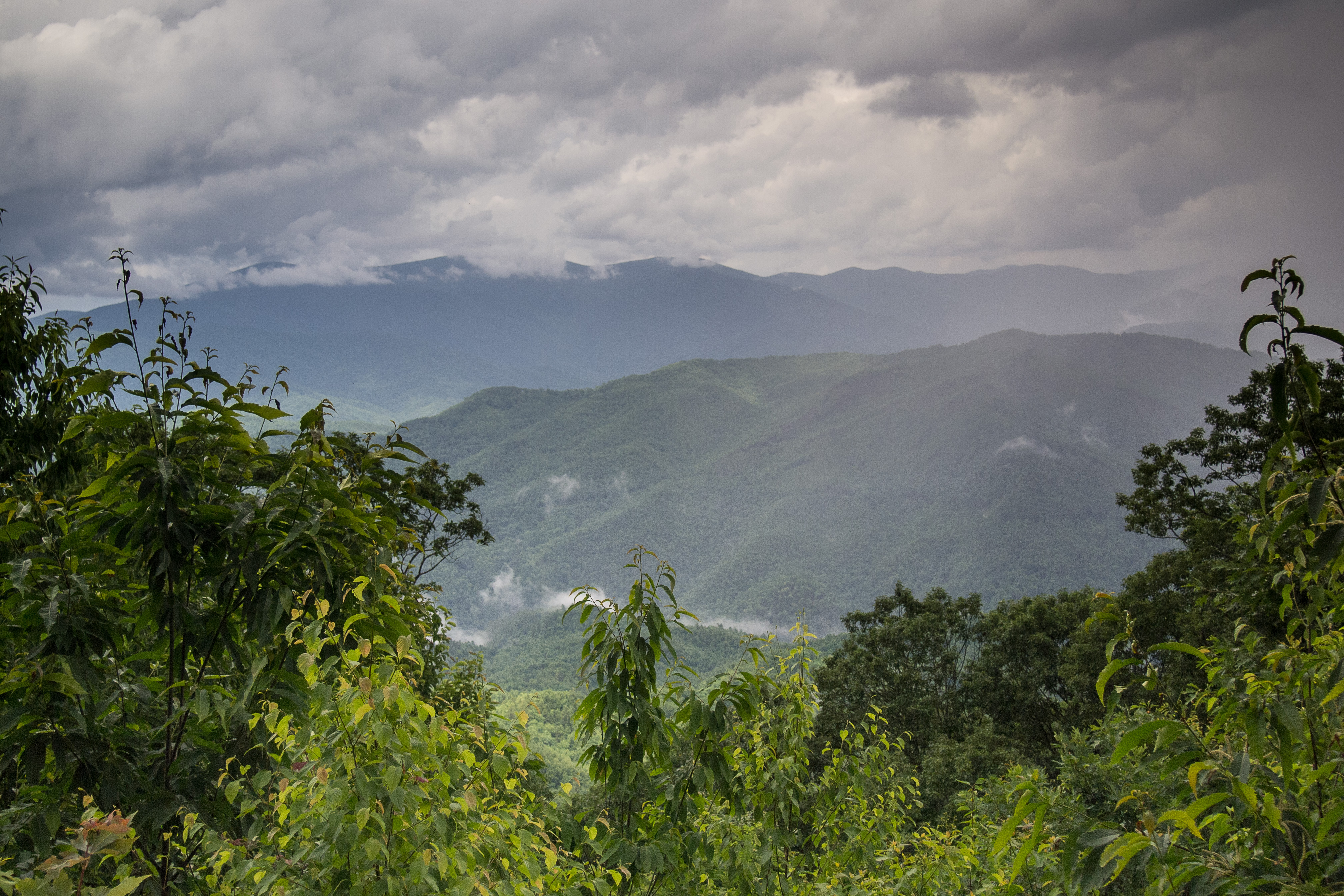
Storms in the mountains.

Hazel Creek
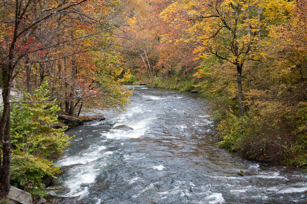
Blue Waters 2012

Fontana Dam
Well, this is obviously going to be popular
140706-3151 Fontana Dam
GSMNP Backpack Day 6 - June 28, 2014 - Downstream of Fontana Dam
Fontana Dam Island
GSMR Trestle Texture
rocky point
Topographic Map of Sweetwater Rd, Robbinsville, NC, USA
Find elevation by address:

Places near Sweetwater Rd, Robbinsville, NC, USA:
4272 Sweetwater Rd
England Bridge
348 Orr Bridge
North Beech Creek Road
Orr Branch Road
3975 Mountain Creek Rd
167 Green Gap Rd
221 Connection Cir
652 Shepherds Creek Rd
802 Shepherds Creek Rd
712 Mountain Creek Rd
671 Mountain Creek Rd
300 Steve Dr
299 Stecoah Heights
13 Stecoah Heights
146 Stecoah Rd
1160 Samcove Rd
296 Stecoah Heights Rd
299 Stecoah Heights Rd
386 Stecoah Heights Rd
Recent Searches:
- Elevation of Tenjo, Cundinamarca, Colombia
- Elevation of Côte-des-Neiges, Montreal, QC H4A 3J6, Canada
- Elevation of Bobcat Dr, Helena, MT, USA
- Elevation of Zu den Ihlowbergen, Althüttendorf, Germany
- Elevation of Badaber, Peshawar, Khyber Pakhtunkhwa, Pakistan
- Elevation of SE Heron Loop, Lincoln City, OR, USA
- Elevation of Slanický ostrov, 01 Námestovo, Slovakia
- Elevation of Spaceport America, Co Rd A, Truth or Consequences, NM, USA
- Elevation of Warwick, RI, USA
- Elevation of Fern Rd, Whitmore, CA, USA