Elevation of Sweetwater Dr, Clarkesville, GA, USA
Location: United States > Georgia > Habersham County > Clarkesville >
Longitude: -83.619919
Latitude: 34.6730785
Elevation: 524m / 1719feet
Barometric Pressure: 95KPa
Elevation Map:
Satellite Map:
Related Photos:

Leading Light

Raper Creek Falls

Raper Creek Falls

Raper Creek Falls

Crow Creek Falls

Crow Creek Falls

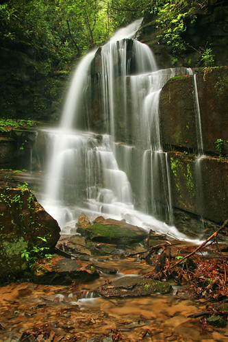
Raper Creek Falls

Winter Jewel

Bad Branch Falls

Falls on Dukes Creek

Minnehaha Falls

Crow Creek Falls

Raper Creek Falls

Minnehaha Falls

Raper Creek Falls

Dukes Creek Falls

IMG_7491-090614

Lower Crow Creek Falls

Falls on Dukes Creek

Minnehana Awakening

Falls on Dukes Creek
Bad Branch Falls

Anna Ruby Falls

Minnehaha Falls
Topographic Map of Sweetwater Dr, Clarkesville, GA, USA
Find elevation by address:

Places near Sweetwater Dr, Clarkesville, GA, USA:
567 Sweet Spring Branch Rd
325 Schub Rd
325 Foggy Creek Ln
125 Jeremy Trail
GA-17, Clarkesville, GA, USA
Aerial
245 Branch Rd
202 Mill Run
110 Seye Wailo Trail
238 Mill Run
1019 Preacher Campbell Rd
365 Little Hawk Rd
503 Skyview Dr
Oak Haven
3310 Panorama Dr
634 Little Hawk Rd
1424 Lynch Mountain Rd
1607 Lynch Mountain Rd
123 Bear Paw Ct
3035 Ga-17
Recent Searches:
- Elevation of Sunset Dr, Richmond, VA, USA
- Elevation of Grodna District, Hrodna Region, Belarus
- Elevation of Hrodna, Hrodna Region, Belarus
- Elevation of Sandia Derby Estates, Tijeras, NM, USA
- Elevation of 23 Sunrise View Ct, Tijeras, NM, USA
- Elevation of Lytham Ln, Katy, TX, USA
- Elevation of Tater Hill, Oklahoma, USA
- Elevation of NY-, Friendship, NY, USA
- Elevation of 64 Danakas Dr, Winnipeg, MB R2C 5N7, Canada
- Elevation of 4 Vale Rd, Sheffield S3 9QX, UK