Elevation of Sweet Moody Road, Sweet Moody Rd, Green Cove Springs, FL, USA
Location: United States > Florida > Clay County > Green Cove Springs >
Longitude: -81.811905
Latitude: 29.8859727
Elevation: 30m / 98feet
Barometric Pressure: 101KPa
Elevation Map:
Satellite Map:
Related Photos:
Star Trails - Gold Head Branch State Park

House Wren (Troglodytes aedon)

Dream a little Dream of Bella
View from the Cabin
Brown Thrasher (Toxostoma rufum)
"Rediscover Early Florida" Church

Little Lake Johnson, once part of Big Lake Johnson, Mike Roess Goldhead Branch State Park, Putnam County, Florida 1
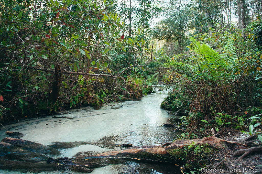
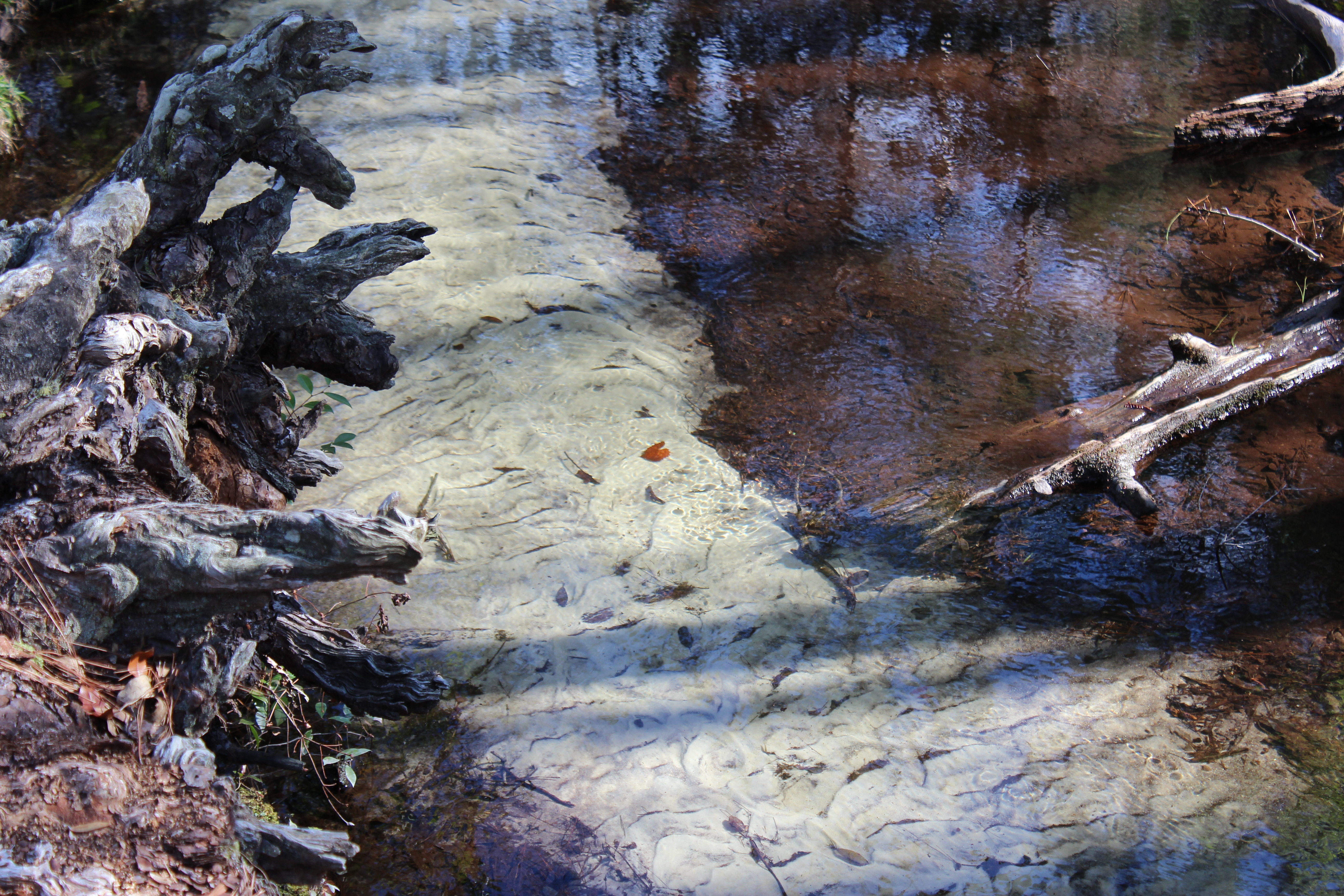
Gold Head Branch
IMG_2171.JPG
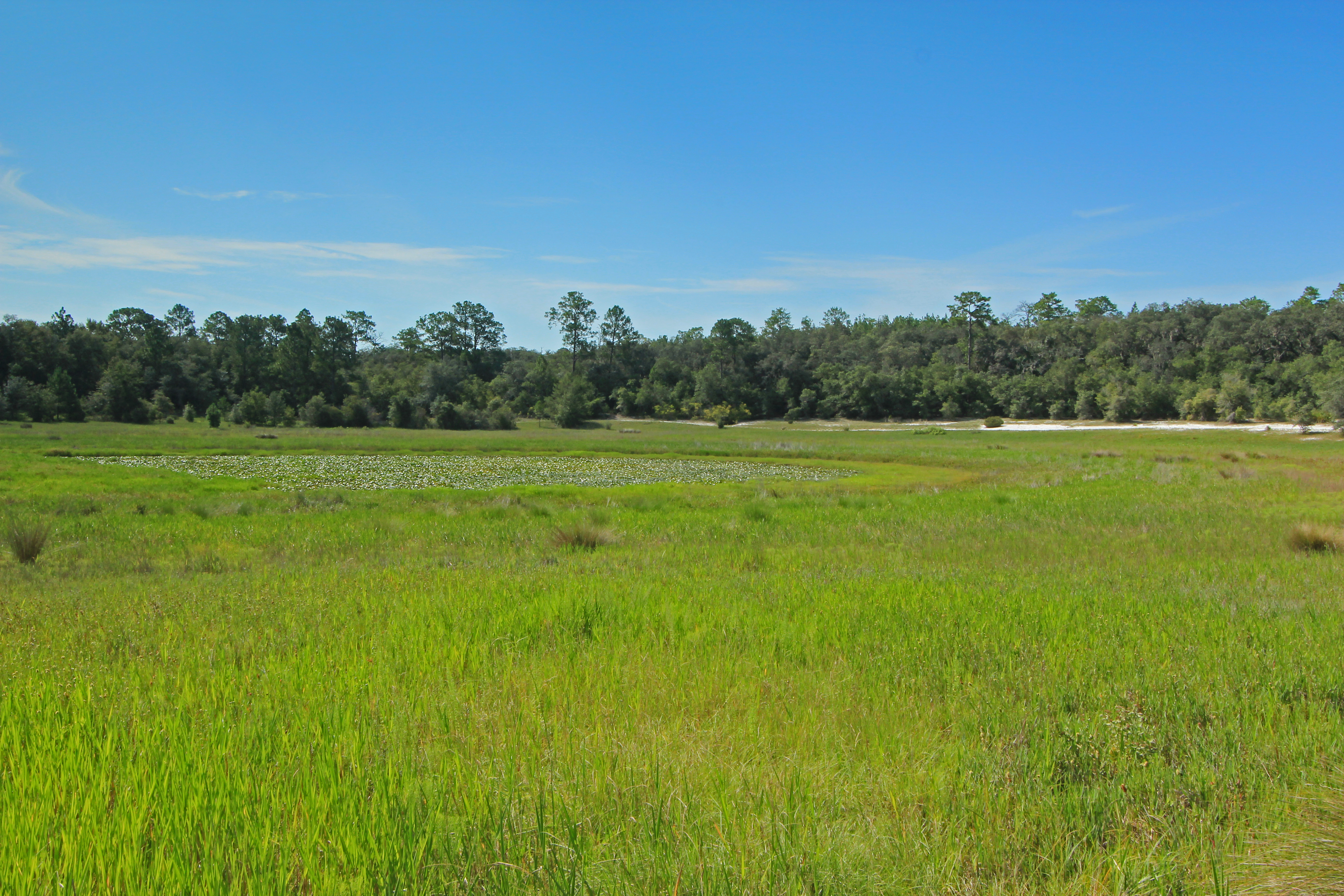
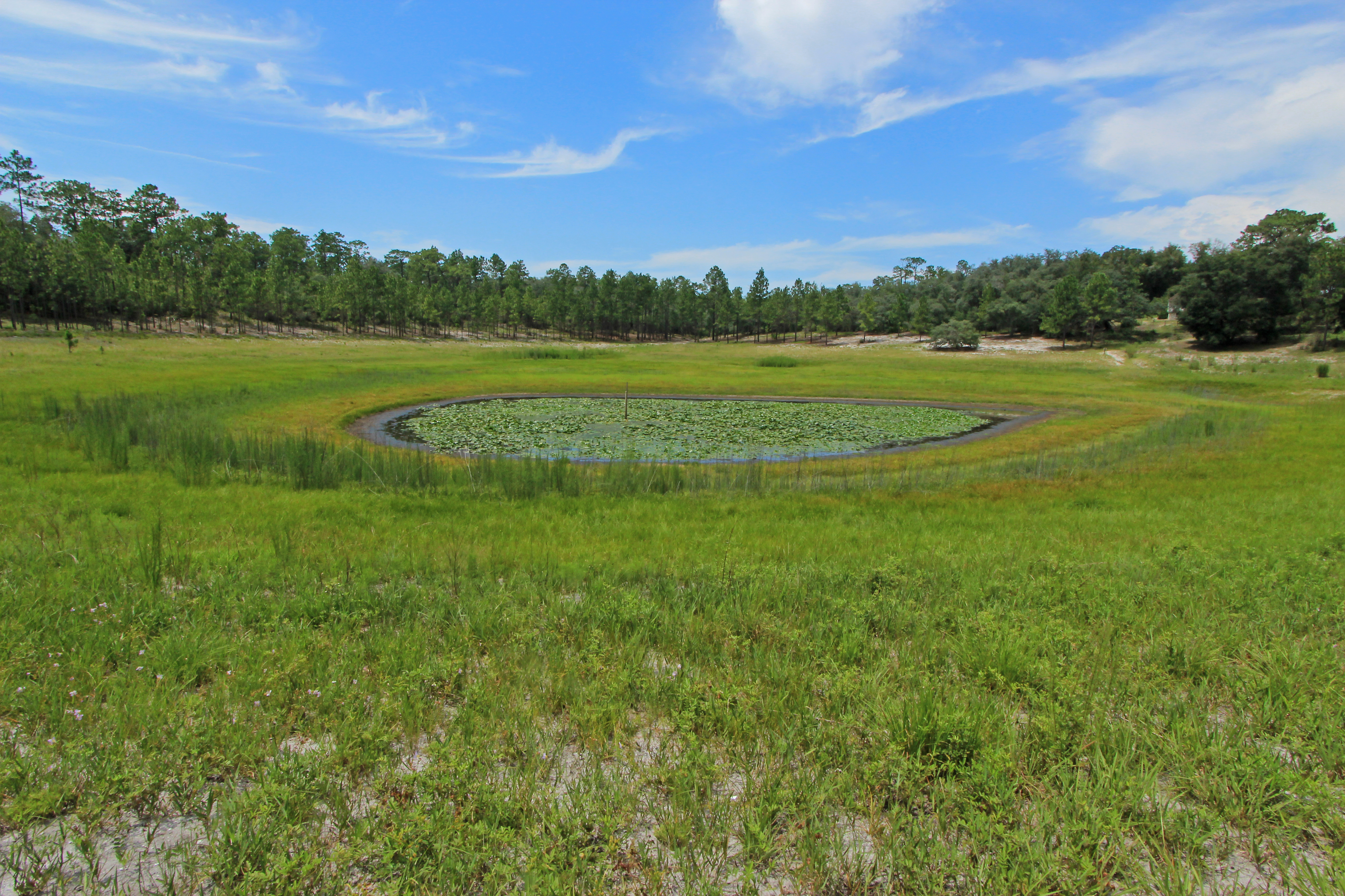
Depression Marsh, once part of Big Lake Johnson, Mike Roess Goldhead Branch State Park, Putnam County, Florida 1
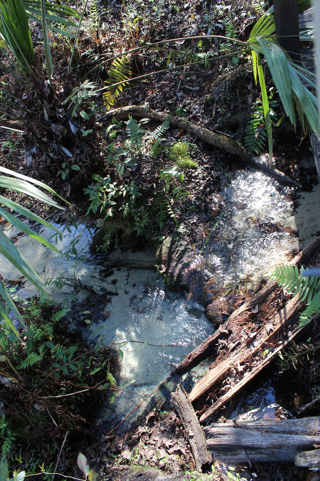
Devil's Washbasin
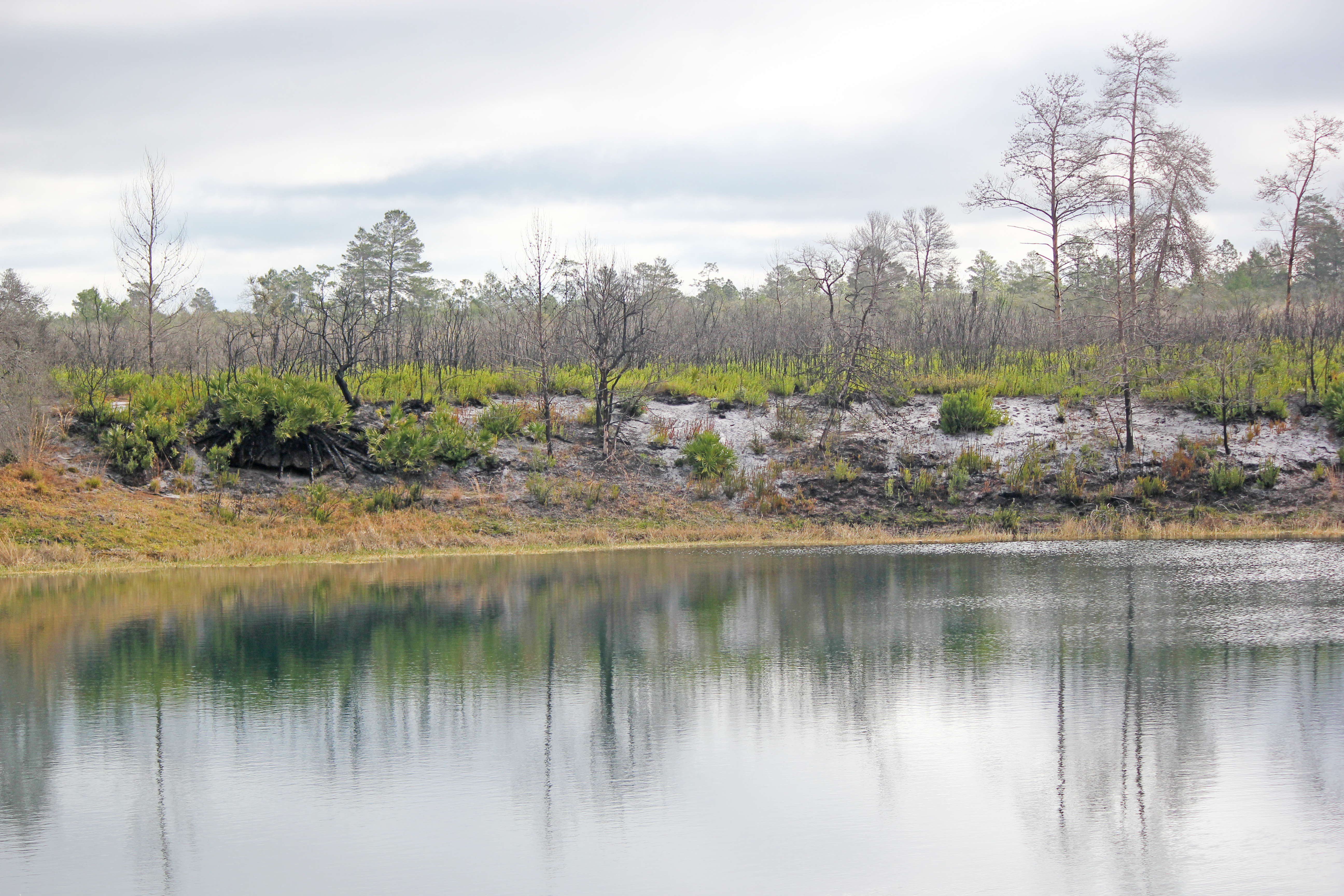
Pebble Lake, Mike Roess Goldhead Branch State Park, Putnam County, Florida 2
IMG_2222.JPG
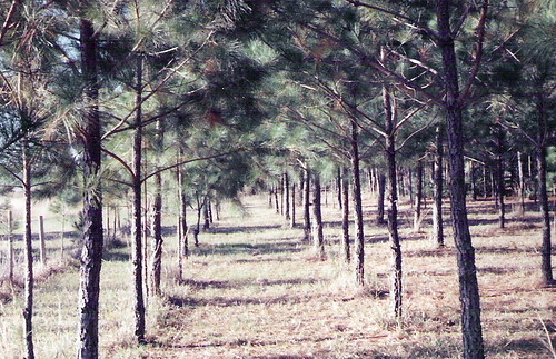
Pine Forest-McRae, Florida
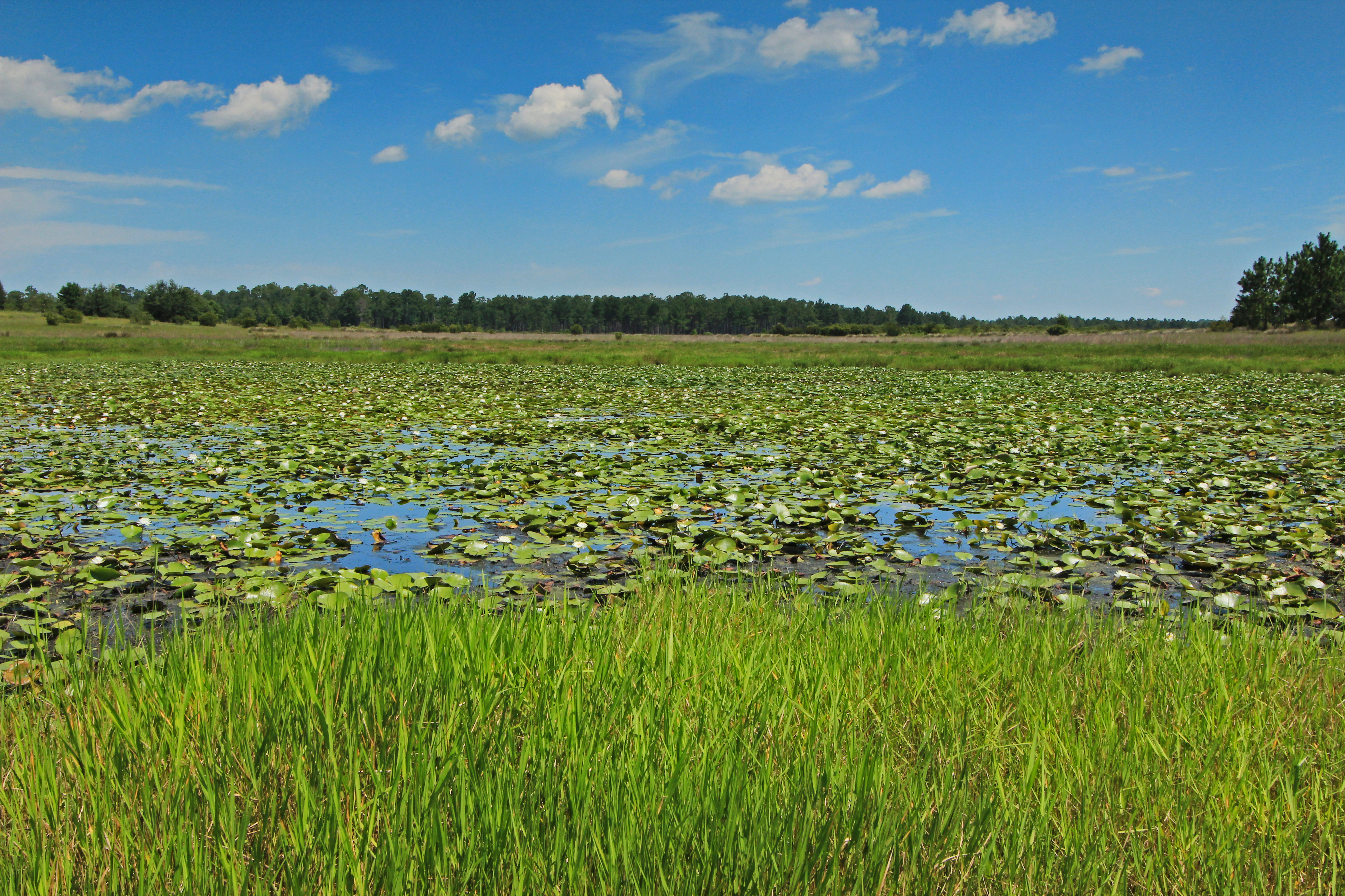
Depression Marsh, once part of Big Lake Johnson, Mike Roess Goldhead Branch State Park, Putnam County, Florida 3

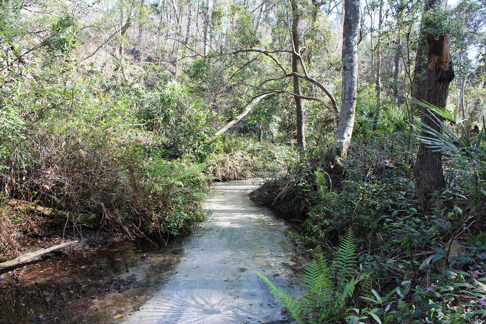
Black Creek, Camp Blanding
IMG_2172.JPG
IMG_2220.JPG
The hilly side of Florida

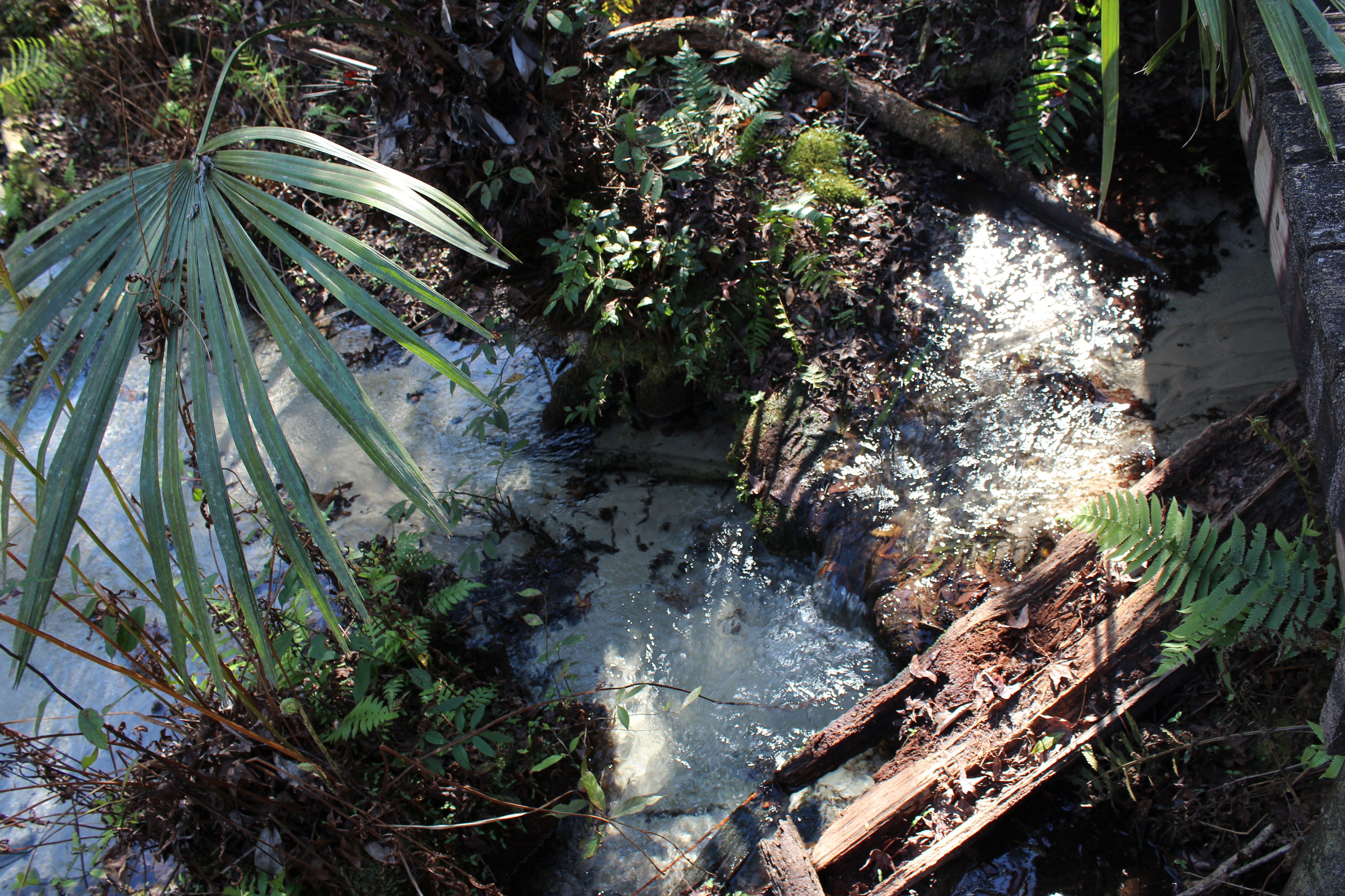
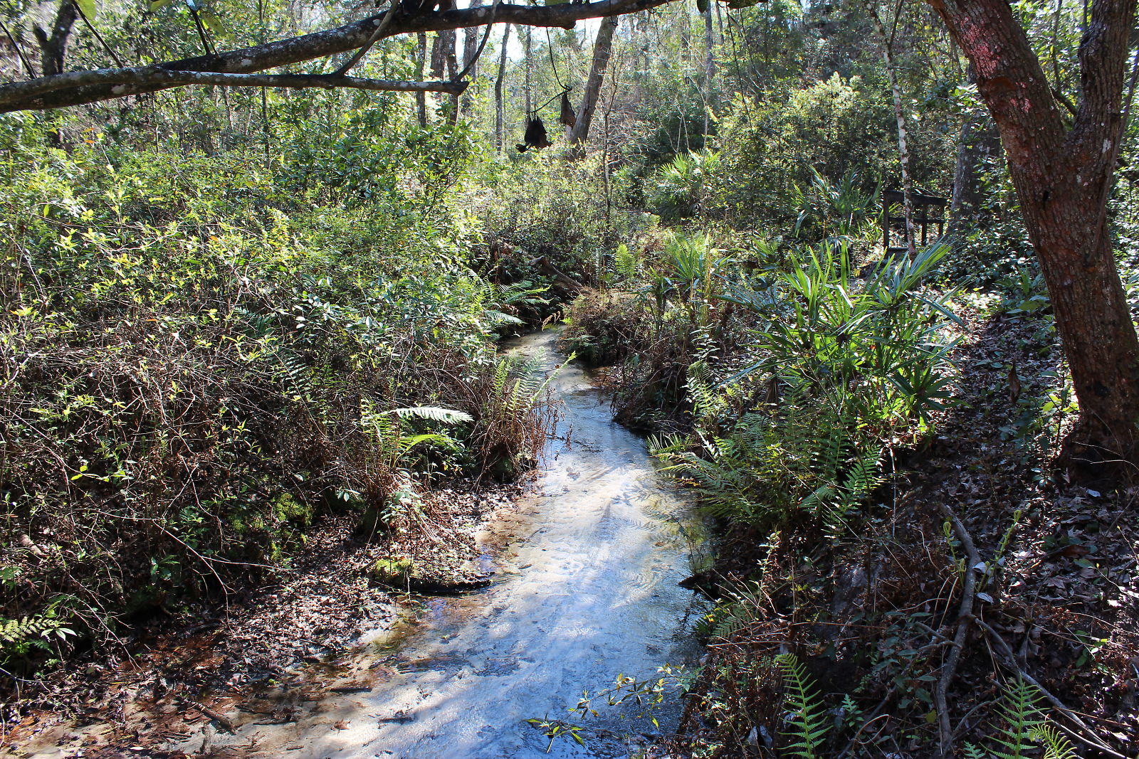
Etoniah Creek State Forest
IMG_2170.JPG
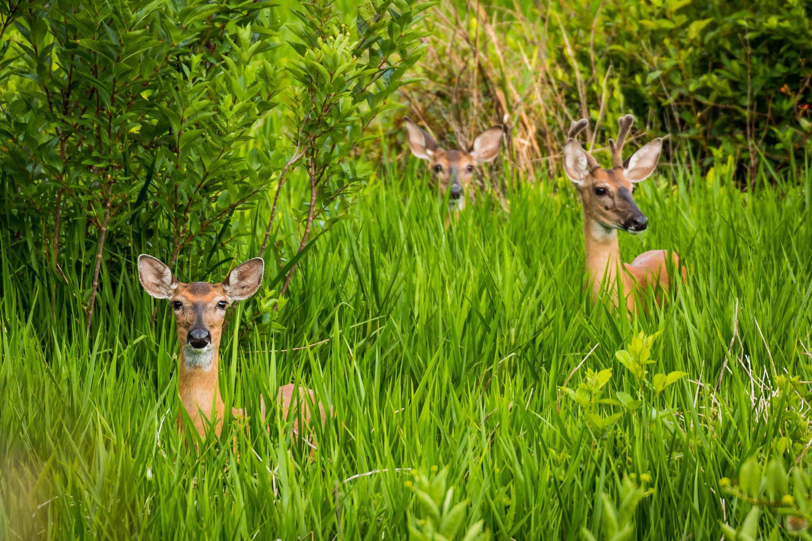
Wassup Deer

IMG_2168.JPG

Etoniah Creek State Forest
IMG_2179.JPG

Etoniah Creek State Forest
Topographic Map of Sweet Moody Road, Sweet Moody Rd, Green Cove Springs, FL, USA
Find elevation by address:

Places near Sweet Moody Road, Sweet Moody Rd, Green Cove Springs, FL, USA:
Penney Farms
Green Cove Springs, FL, USA
3515 Toms Ct
Clay County
3760 Ron Rd
3750 Ron Rd
Airpark Loop West
1890 Co Rd 218
5151 Sweat Rd
3293 Co Rd 218
3679 Oglebay Dr
2457 Royal Pointe Dr
1705 Elsie St
3313 Shelley Dr
1843 Colonial Dr
1949 Colonial Dr
3435 Oglebay Dr
1829 La Quinta Ct
3670 Clubhouse Dr
2623 Creekfront Dr
Recent Searches:
- Elevation of Jalan Senandin, Lutong, Miri, Sarawak, Malaysia
- Elevation of Bilohirs'k
- Elevation of 30 Oak Lawn Dr, Barkhamsted, CT, USA
- Elevation of Luther Road, Luther Rd, Auburn, CA, USA
- Elevation of Unnamed Road, Respublika Severnaya Osetiya — Alaniya, Russia
- Elevation of Verkhny Fiagdon, North Ossetia–Alania Republic, Russia
- Elevation of F. Viola Hiway, San Rafael, Bulacan, Philippines
- Elevation of Herbage Dr, Gulfport, MS, USA
- Elevation of Lilac Cir, Haldimand, ON N3W 2G9, Canada
- Elevation of Harrod Branch Road, Harrod Branch Rd, Kentucky, USA